Essentials of Bushwhacking
Essentials of Bushwhacking
Five tips for Adirondack bushwhacking
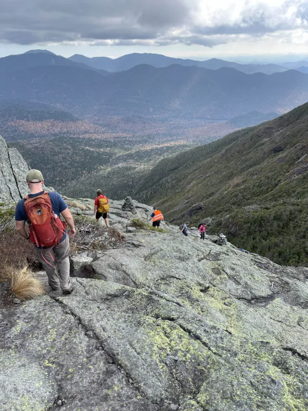
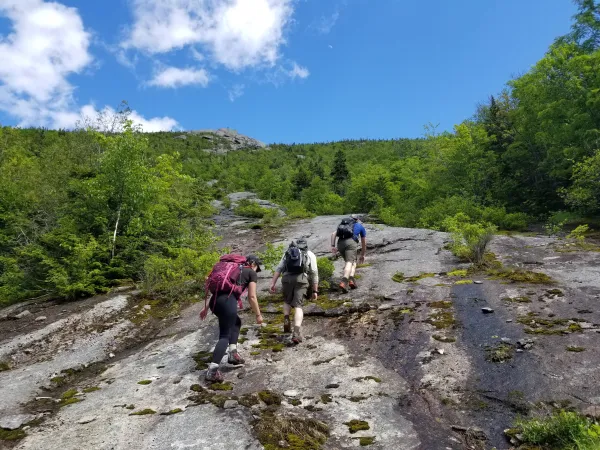
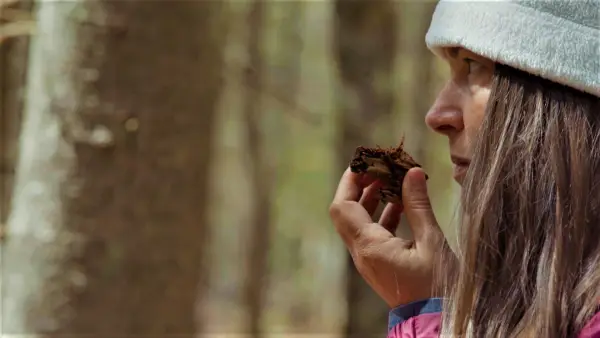
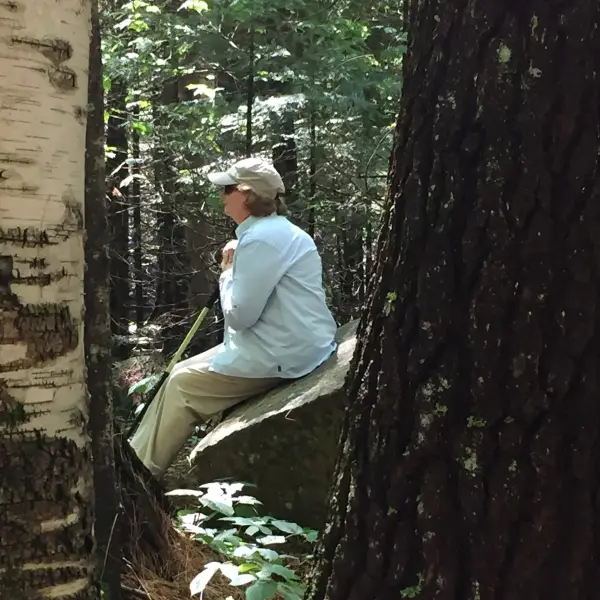
Bushwhacking is the practice of hiking off the trail using skilled navigation to guide your way. It is something that should not be taken lightly. Understanding of navigation is essential to a fun and safe time exploring between contour lines. For those that are not as confident with self-navigation, it is best to check out some of the marked hiking trails throughout the Adirondacks.
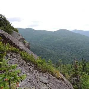
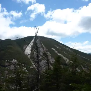
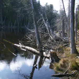
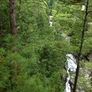
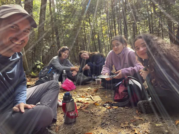
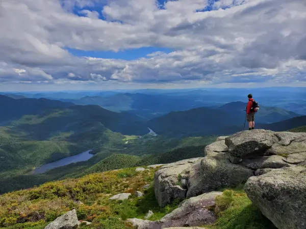
Bushwhacking has inherent dangers not seen on most hikes where trails are involved. However, bushwhacking also offers great potential. When exploring off trail you have the chance of wildlife experiences, solitude, unique views, and seeing what only a handle of people get to see – if anyone at all.
1. Learn the basics
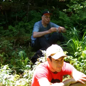
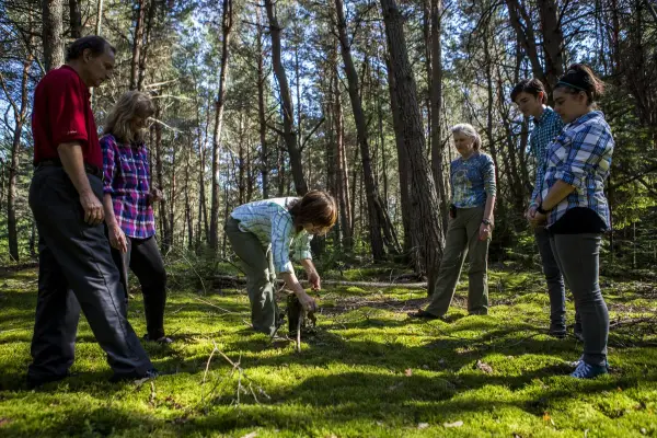
Before setting out, take a class to build map and compass skills. Workshops from the Adirondack Mountain Club and from regional guides provide hands-on training, teaching you how to read topographic maps and use a compass. Navigating marked trails and well-worn herd paths builds confidence before tackling off-trail bushwhacks.
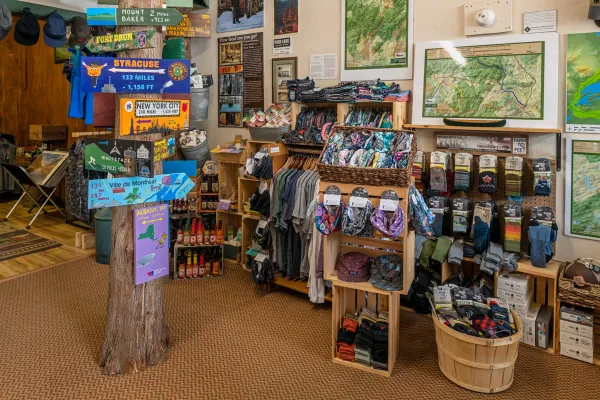
2. Essential gear
Bushwhacking requires more than typical hiking gear. Beyond the basics like a map and compass, you’ll want:
Long pants & long-sleeve shirt: Protect against scrapes and ticks.
Eye protection & trekking poles: For navigating dense brush and uneven terrain.
Sturdy hiking boots: Essential on rugged, rooty paths.
GPS device: Offers location accuracy, especially in remote areas.
Mapping software (e.g., CalTopo): Enables you to map and download your route as a GPX file.
3. Pick a beginner-friendly route
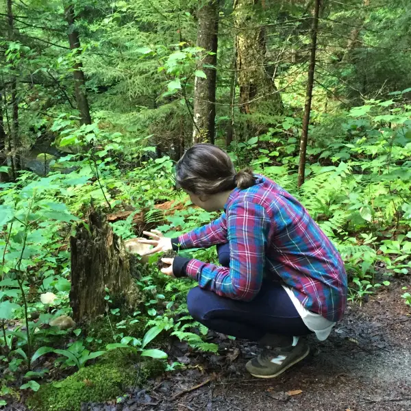
Select an area with nearby trails or roads, making navigation easier. Study topographic maps and use Google Earth to evaluate terrain. Deciduous forests, typically found at lower elevations, are easier to traverse than higher-elevation coniferous woods. Be mindful of water crossings, steep slopes, and local regulations, such as the bushwhacking restrictions at the Ausable Mountain Reserve.
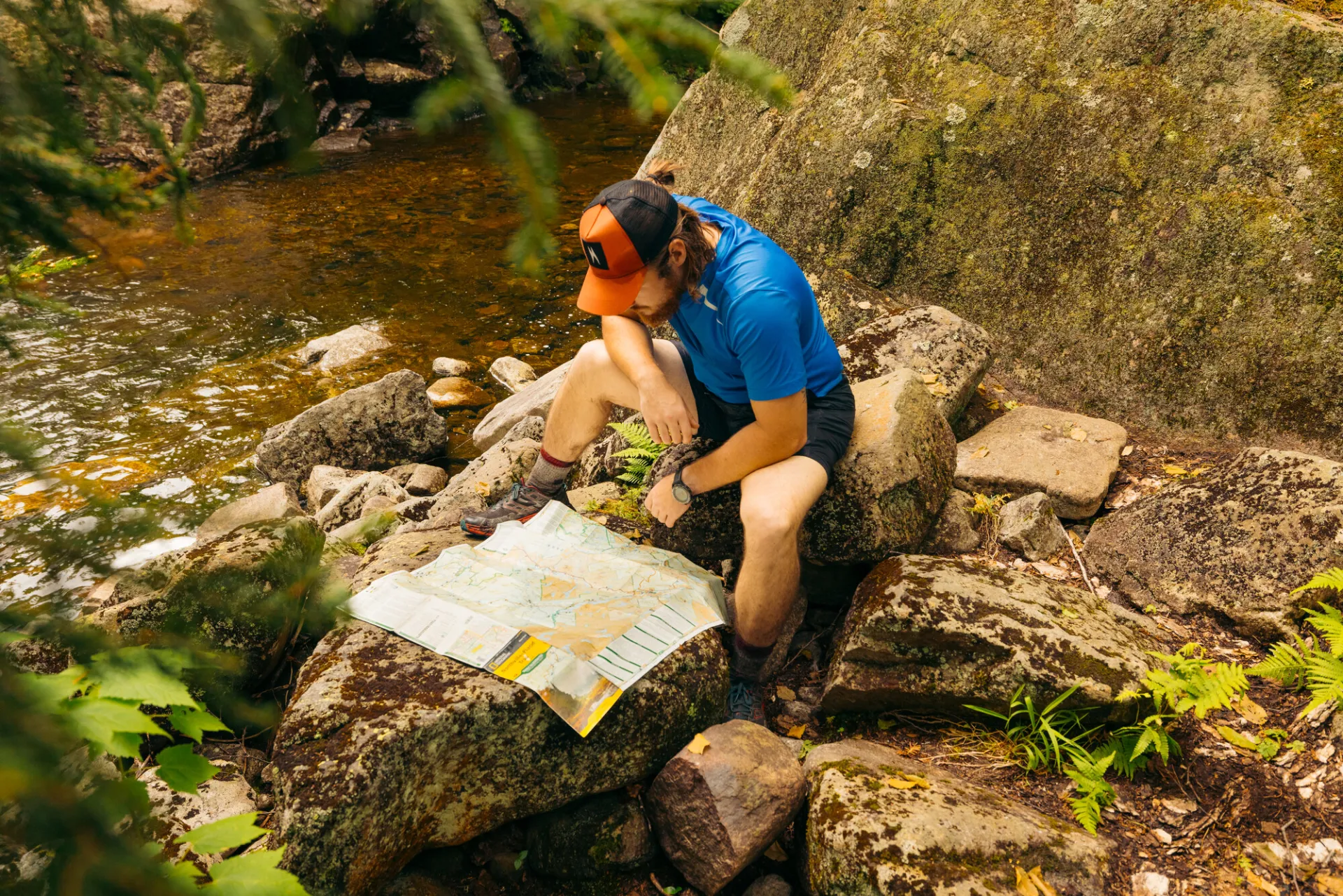
4. Plan and map your route
Map out your route in advance. Software like CalTopo offer layers showing public lands, terrain features, and potential destinations. Trace your route, check elevation gain, and download the file to your GPS and phone app for backup. Always bring a paper map and compass as primary navigation tools.
5. Tips for a successful bushwhack
Slow down: Off-trail navigation takes extra attention.
Read the terrain: Look for changes in tree type; open woods may allow for easier travel.
Dress brightly in hunting season: Hunters also bushwhack and share the same wild spaces.
Avoid private land: Boundaries may not always be clearly marked.
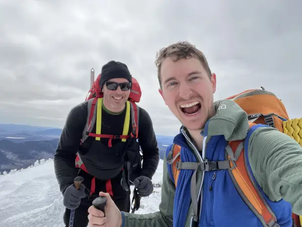
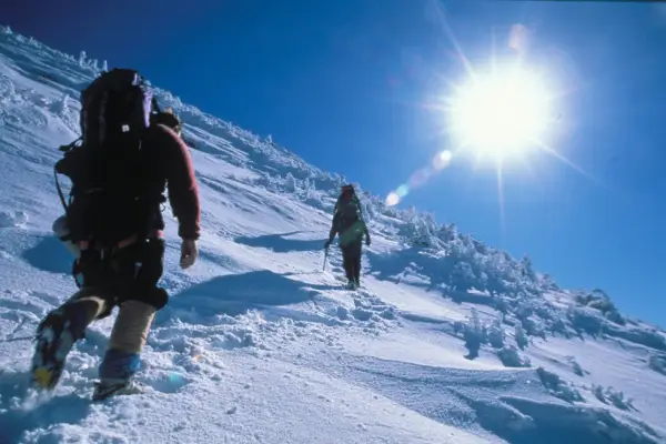
Stay extra safe in the winter: Go in large groups, and pack much more layers than you think you'd need.
Bushwhacking can be fun, but it can also be one of the hardest things to do in the backcountry. Be prepared and make it a positive hiking experience that you'll want to repeat.
If you want to learn more about bushwhacking, map and compass use, and GPS functions and want to gain experience from the professionals, check out some of the local and regional guides in the Lake Placid area.


Browse all