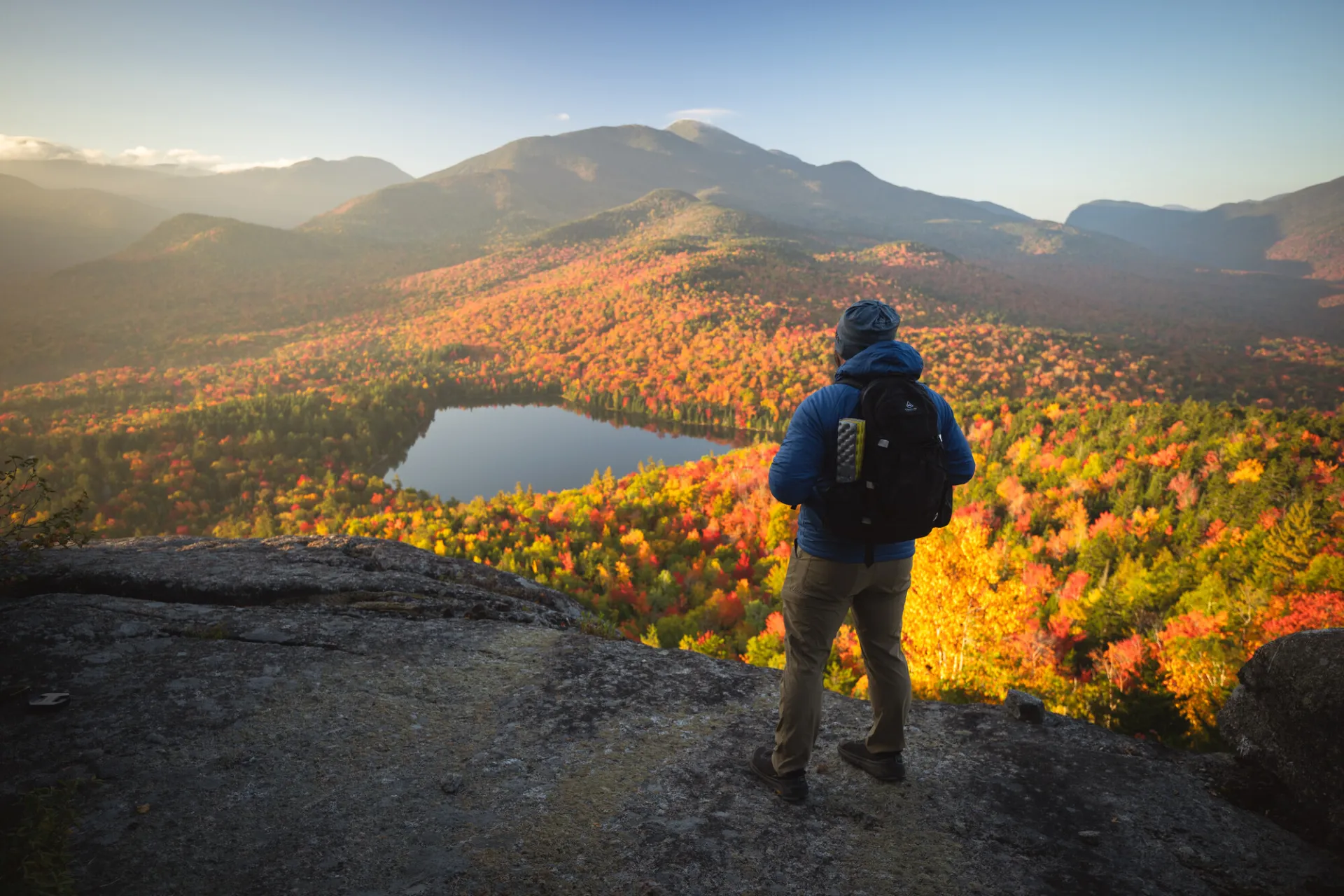
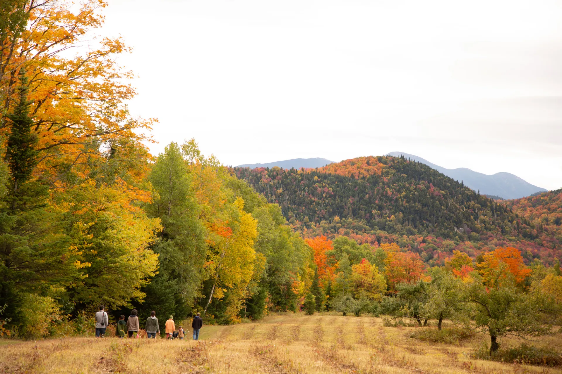
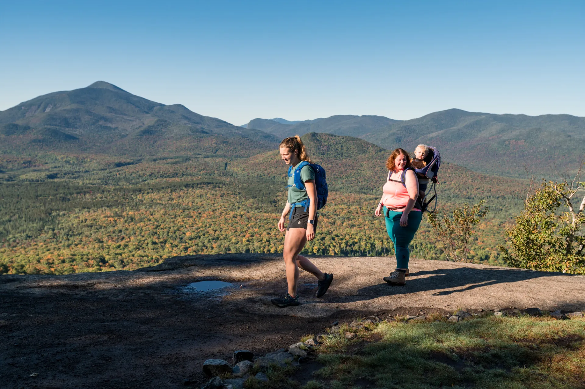
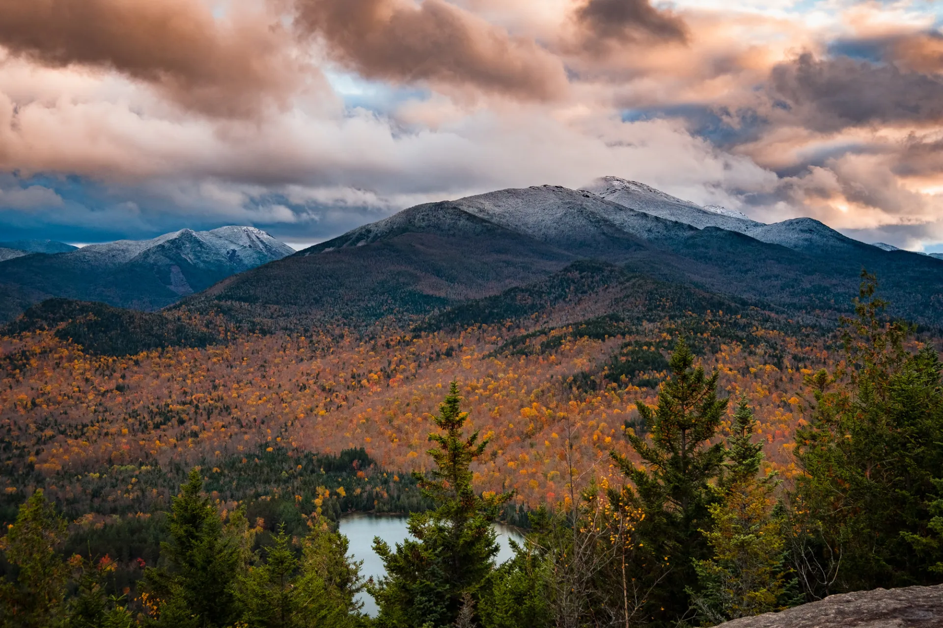
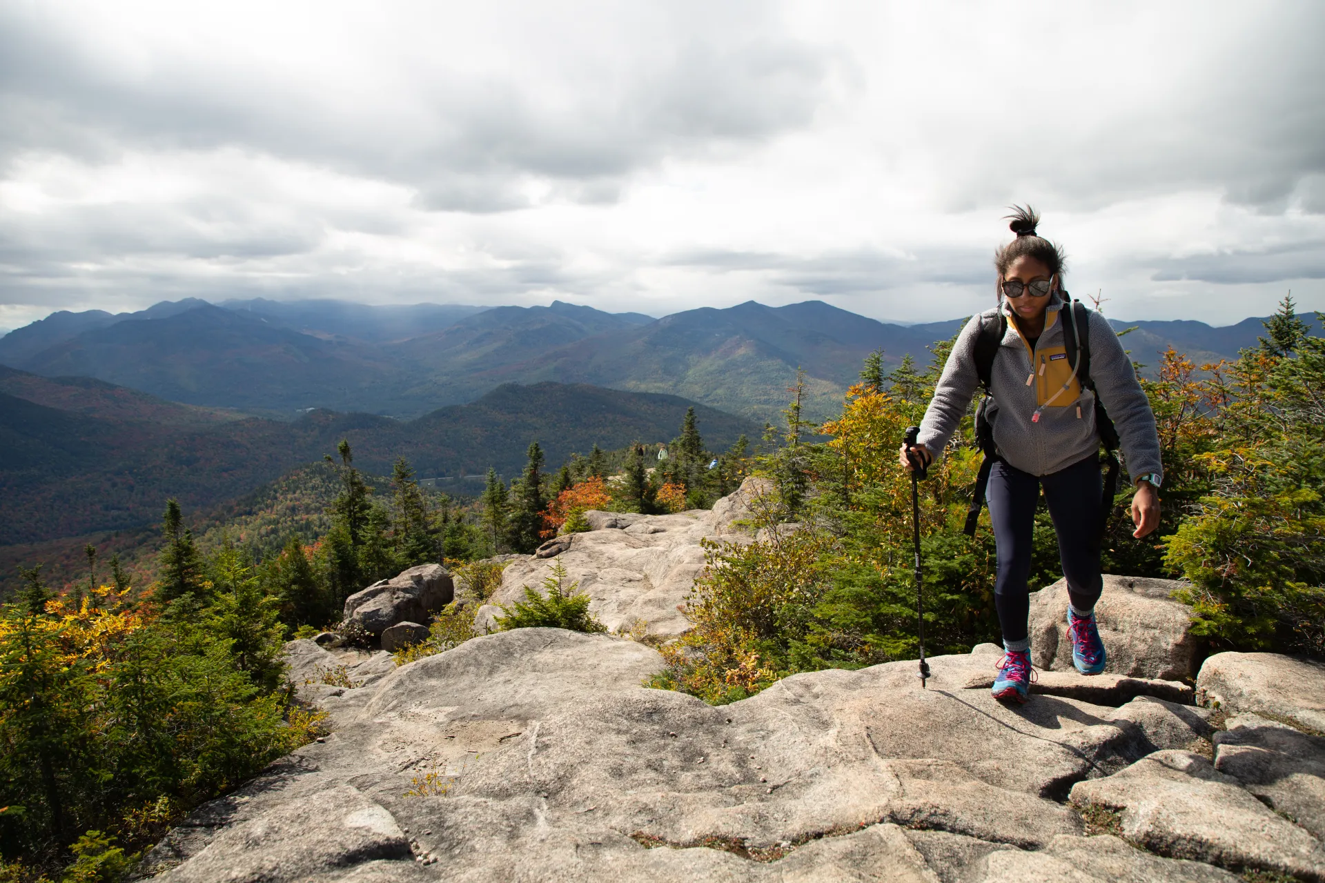
Take it from us, there’s nothing more stunning than fall in the High Peaks. And while it’s nice enough just to be here when the leaves are at the their peak, it’s a little nicer to take a hike. The crisp air, the smell of autumn, the leaves floating gently to the ground — it’s all part of the package.
1. Heaven Hill Old Orchard Loop
Heaven Hill is a small trail network located minutes from downtown Lake Placid, and the hiking here is some of the easiest you’ll find in the High Peaks. Take your time exploring the trails as they wind through a pretty hardwood forest, just don’t miss the Orchard Loop, where there is a breathtaking mountain view for very little effort.
Trail stats
- Old Orchard Loop: 1.4 miles
- Big Field Loop: 0.9 miles
- Bear Cub Loop: The main outer loop is 1.5 miles
Parking
From the intersection of state Route 73 and 86 in Lake Placid, take Route 73 toward Keene. Turn right on Station Street in 0.2 miles — it's the first right after you cross the Chubb River. Follow this road for 0.75 miles and turn left on Old Military Road. Follow it for 0.9 miles, then turn right on Bear Cub Road. The trailhead is on the right after about 3 miles.
2. Mount Van Hoevenberg East Trail
The relatively new trail up the east side of Mount Van Hoevenberg makes long, sweeping switchbacks as it gently ascends the mountain, making it an easier climb than the West Trail. Before your hike, start your visit at the brand-new Mountain Pass Lodge. There you will find hiking information, a shop, cafe, and information about other cool Olympic activities! When you're ready to hike, the trail works its way away from the cross-country ski trails and bobsled run as it climbs toward the summit ledges. Set aside plenty of time to enjoy the view of Mount Marcy, Algonquin, and some of the Great Range as you overlook South Meadow.
Trail stats
- Distance: 3.6 miles round trip
- Elevation: 2,860 feet
- Elevation gain: 1000 feet
Parking
From downtown Lake Placid, turn onto Route 73 east and follow it for 6.3 miles, then turn right on Bobsled Run Lane. Follow that to its end and follow the signs to the trailhead.
3. Mt Jo
Mt Jo is a steep little mountain that offers close-up views of giants like Wright, Algonquin, Colden, and Marcy from its summit. The trail starts across from the Adirondack Loj toll booth and remains level until it swings away from Heart Lake. After a brief climb there is a fork — right is the Short Trail and straight is the Long Trail. We recommend taking the Long Trail up as it’s not quite as steep, and if you’re up for an adventure you can return via the ruggedly scenic Short Trail.
Trail stats
- Distance: Short Trail, 1.1 miles; Long Trail, 1.3 miles - Loop 2.5 miles
- Elevation: 2,876 feet
- Elevation gain: 700 feet
Parking
From downtown Lake Placid, turn onto Route 73 and turn right on Adirondack Loj Road, the first right after the ski jumps. The parking lots are about 5 miles from Route 73. Be sure to pay the parking fee at the booth, even if no one is there.
4. Hurricane Mountain from 9N
Hurricane has an open rock summit, but there’s a fire tower on top if you want to get a little higher. There are three ways to approach this mountain, one from Route 9N, another from Crow Clearing (the North Trail), and a third from the east. Whichever route you choose, the view from the top is one of the best in the Adirondacks. You’ll see Lake Champlain to the east and mountains in every direction, including Vermont’s Green Mountains and the High Peaks. The view of the Dix Range is particularly striking from this vantage point.
Trail stats
- Distance: 6.8 miles round trip
- Elevation: 3,694 feet
- Elevation gain: 2,000 feet
Parking
See the Hurricane Mountain listing for detailed parking directions.
4. Cobble Hill
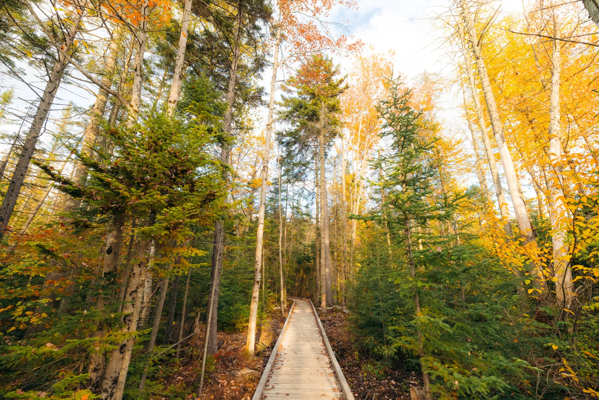
Cobble Hill in Lake Placid is a great hike that connects the village with the outdoors. You'll have to park in the village, either along Main Street, on Parkside Drive, or just hike to the trailhead right from your lodging! Once on the trail, you'll be treated to newly-built bridges and boardwalks, and up to a few different lean-tos at the top of the community itself, along with the nearby High Peaks. This is a good option for combining with in-town activities.
Trail stats
- Distance: 1.6 miles round trip, from the trailhead
- Elevation: 2,343 feet
- Elevation gain: 480 feet
More hikes in and around Lake Placid
If you've done a few of these before, or simply looking for more options, check out some of the surrounding area's offerings for hikes to backcountry lakes, tall summits, winding rivers, or historical sites.
Explore More
This summer, find a trip perfect for all your girls in Lake Placid

Lake Placid is one of the best places for a guys trip in the country. Lakeside golf courses, world-class breweries, and outdoor adventure combine here for the perfect trip.
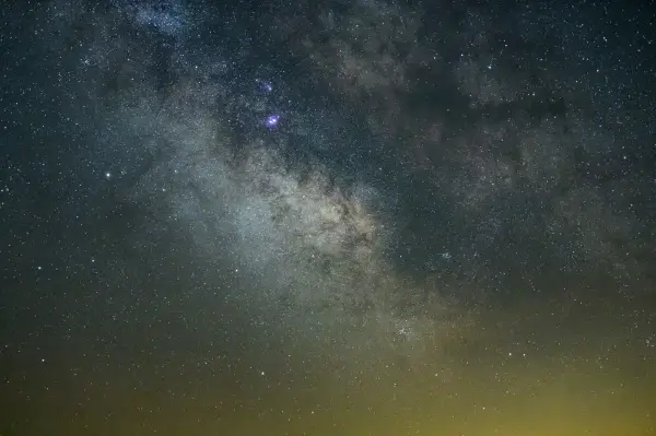
Discover why Lake Placid is a rising astrotourism destination, with pristine dark skies, innovative lighting efforts, and unforgettable stargazing experiences. Explore the best spots to watch meteor showers, learn how locals are protecting the night sky, and get tips for your visit.
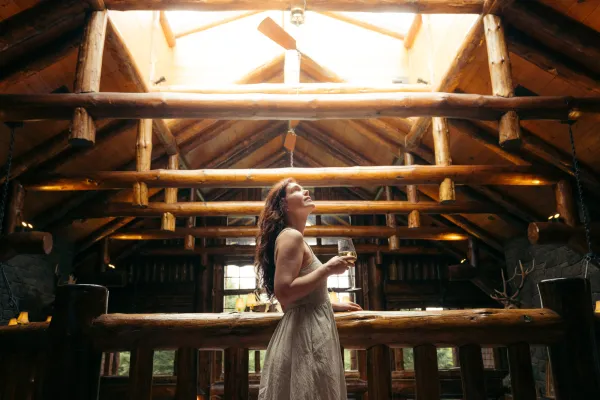
Johns Brook Lodge, New York state's only backcountry lodge open to the public, turns 100 this year! Celebrate by reading a bit about it, and booking a stay at this backcountry getaway.