

- Out and Back
- Out and Back
- Out and Back


About
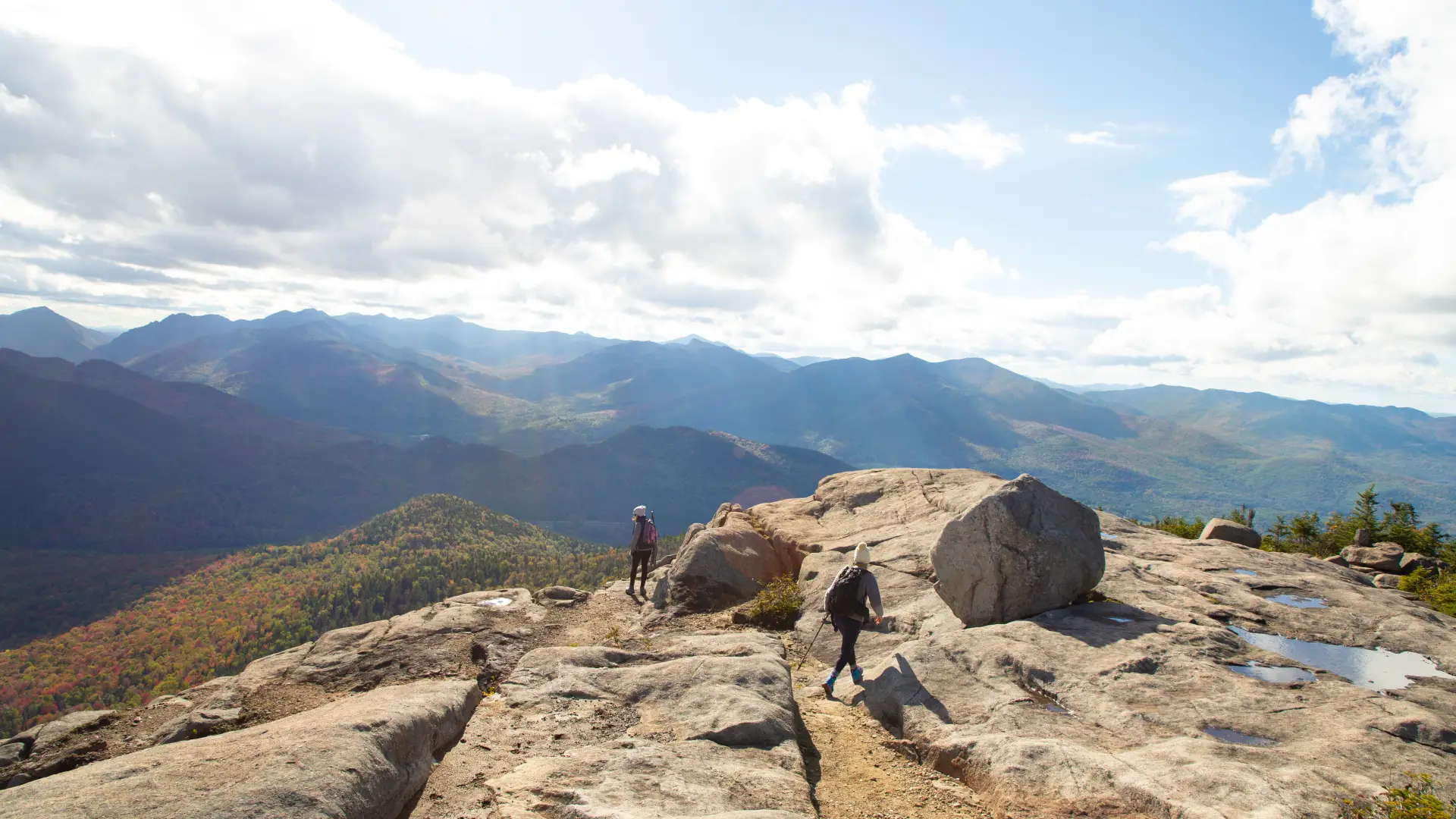
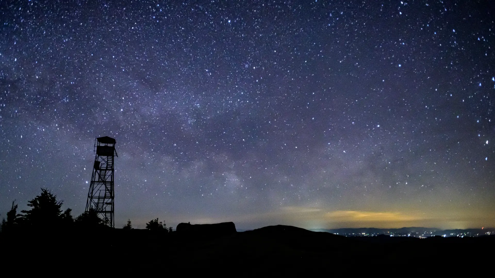
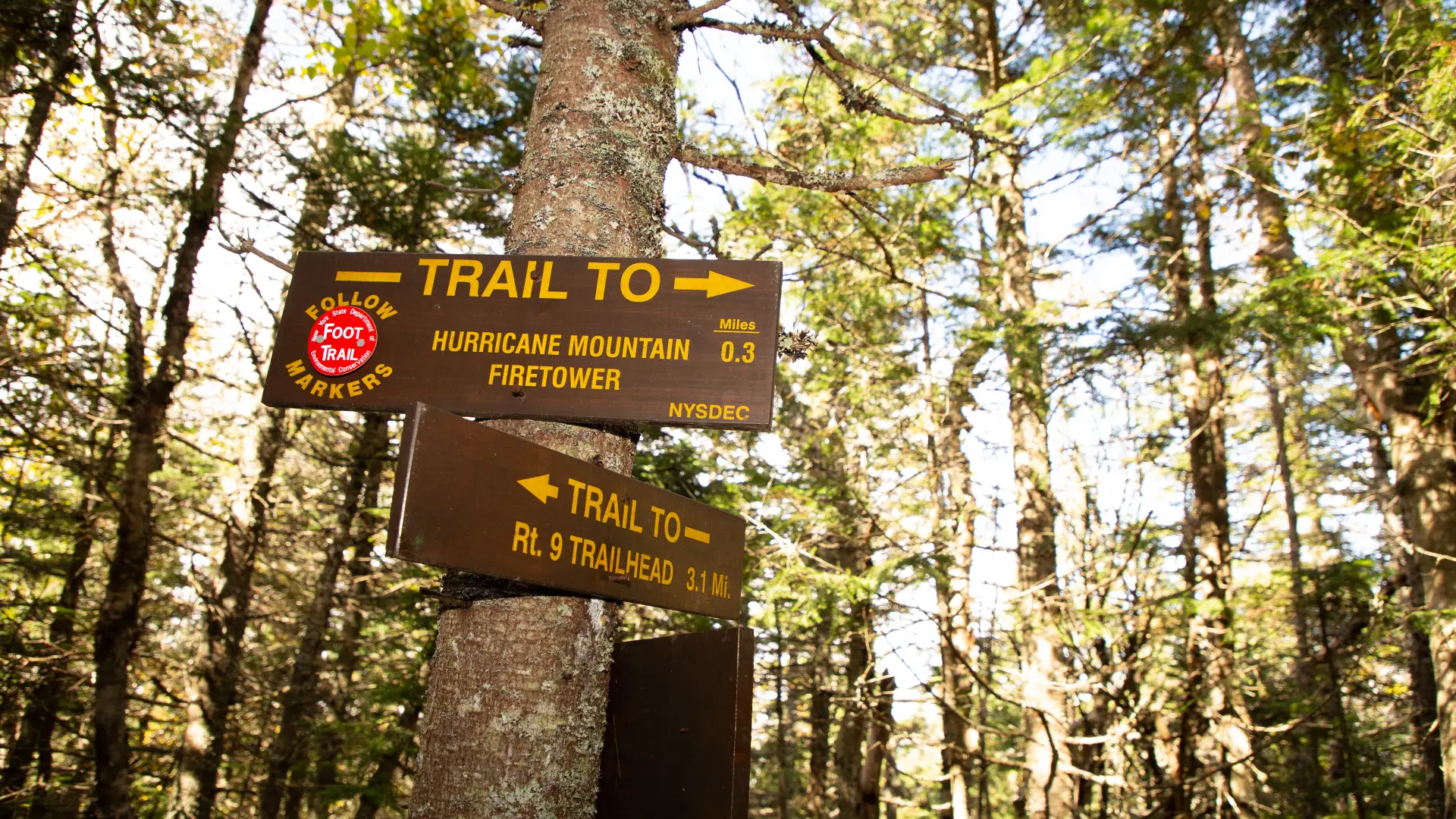
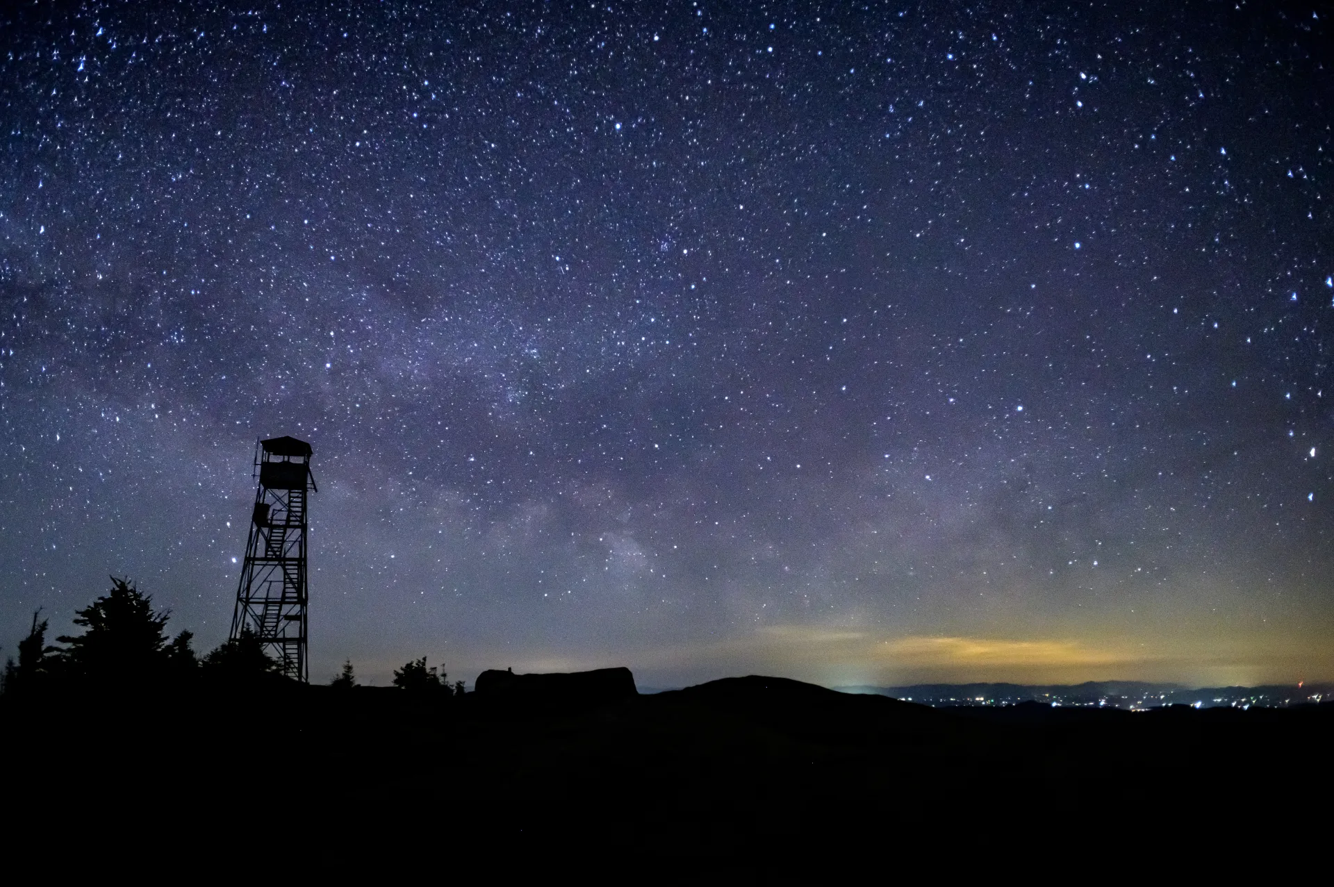
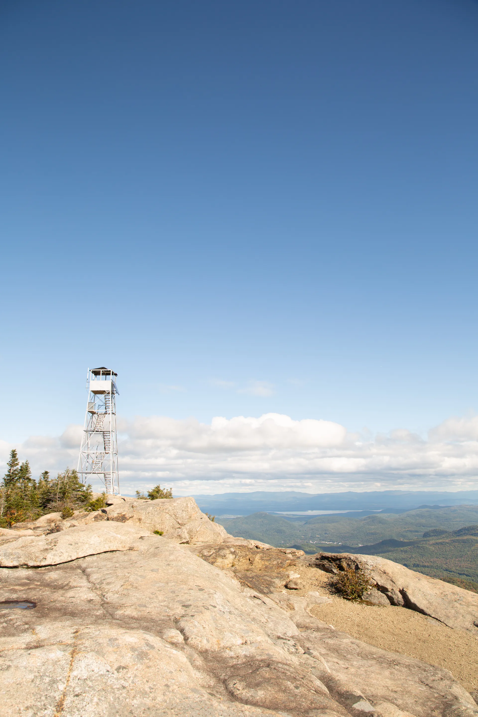
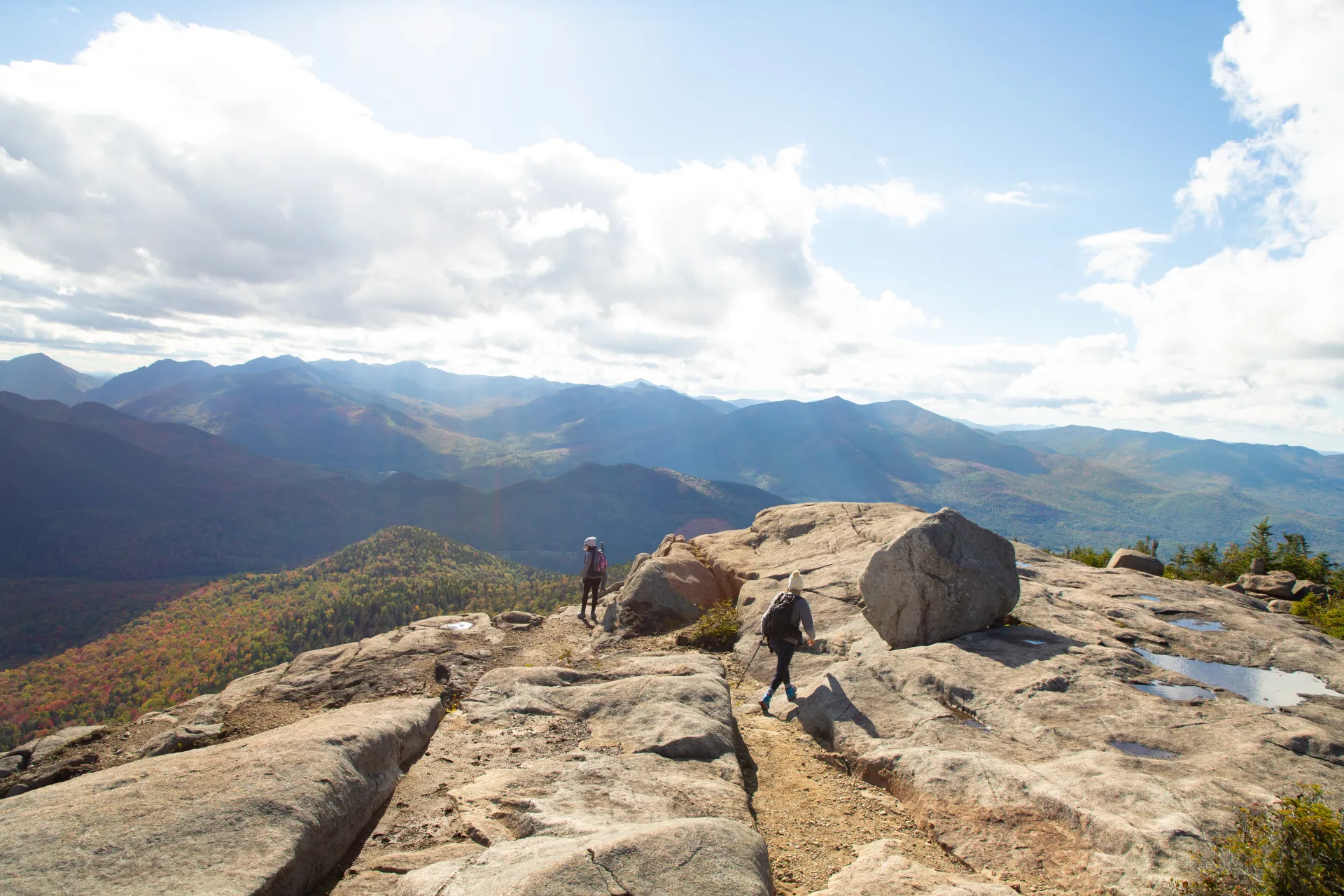
This is a wonderful open peak with a restored firetower that can be climbed, even though the tower is not needed for some of the best views in the High Peaks. There are three separate approaches to this peak. Hurricane Mountain is is one of the Lake Placid 9er mountains.
Hiking Hurricane Mountain
From Route 9N
- Distance: 6.8 miles round trip
- Elevation gain: 2,000 feet
How to get there: Take Route 73 east from Lake Placid and turn left onto Route 9N after 15.5 miles. The parking area is 3.5 miles farther on the right, the trailhead is on the left.
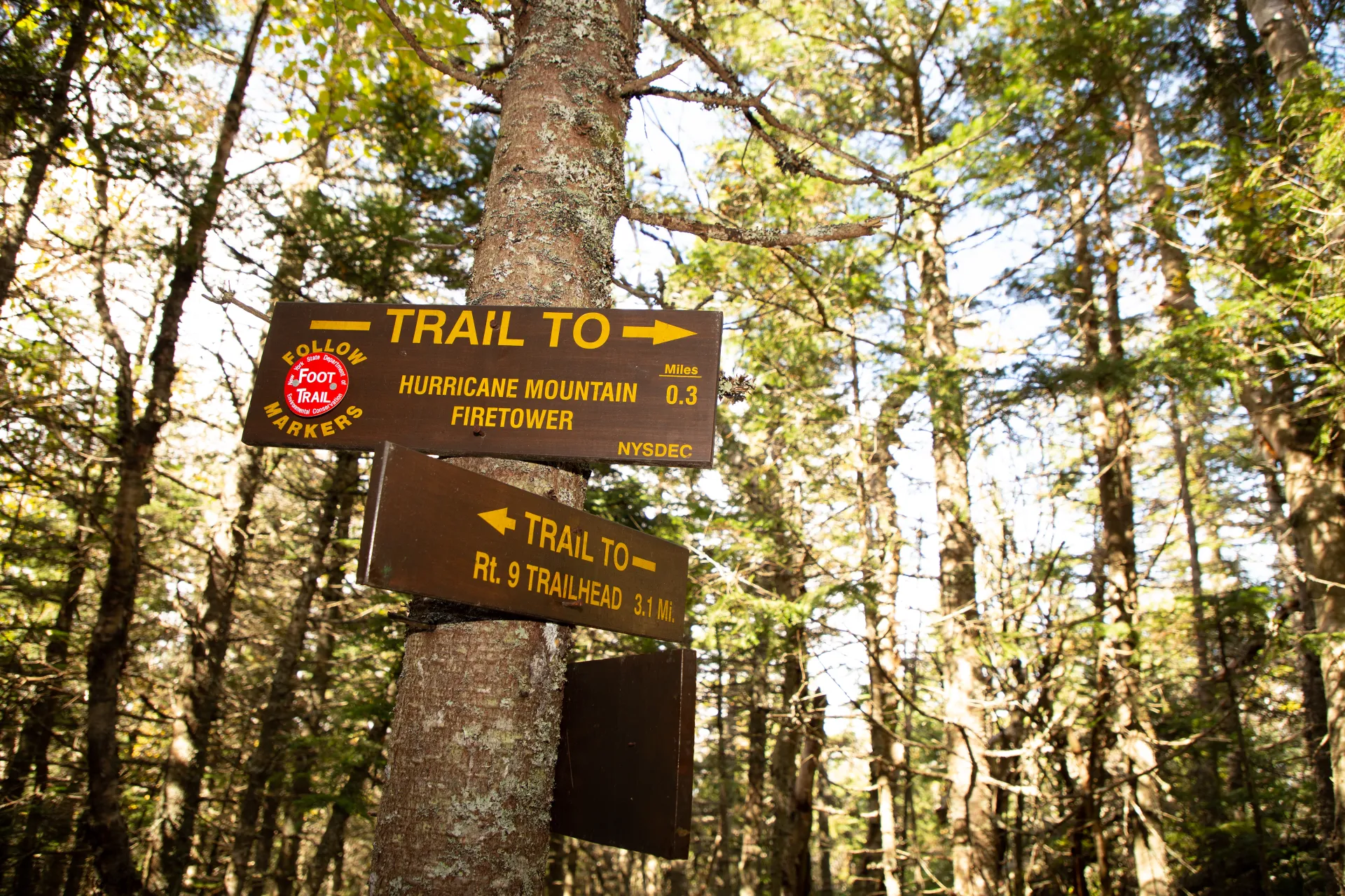
The trail climbs via switchbacks to a first view at 0.4 miles, levels out, crosses a series of bridges across beaver swamps, and then resumes climbing, soon diverging left from the old trail. At 2.8 miles the trail comes to a ledge with a view ahead of the tower on the summit. The tower looks further away than it actually is, and after a second ledge at 2.9 miles the grade eases to a junction with the trail from Crow Clearing, coming in from the left at 3.2 miles. On the descent make sure everyone in the group makes the left turn at this junction. Past this junction, the trail is levels briefly before beginning the final rocky scramble to the summit at 3.4 miles.
From Hurricane Lane (East Trail)
- Distance: 4.4 miles round trip
- Elevation gain: 1,800 feet
How to get there: Take Route 73 east from Lake Placid toward Keene. Turn left onto Route 9N 15.5 miles from Lake Placid. Continue 8.1 miles and turn left onto Hurricane Mountain Lane. Follow this to the end (2.7 miles), a gate blocks vehicular traffic. Park here in the small lot on the right. Parking is not permitted on the road.
From the gate, hike up the road to the site of the former observer's cabin at 1.2 miles. After this spot, the trail drops a bit to a stream and then climbs to another stream at 1.4 miles. From the second stream to the summit, the climb is steep, with only a few breathers. This is the least used trail of the three.
From Crow Clearing (North Trail)
- Distance: 5.4 miles round trip
- Elevation gain: 1,600 feet
How to get there: From Lake Placid, go 15 miles east on Route 73 to Keene. At 200 yards past the intersection with Route 9N in Keene, turn left on Hurricane Road at the Keene Town Hall. At just over 2 miles from Route 73, bear left on O'Toole Lane (dirt) for 1.2 miles to the end at Crow Clearing. (In winter, the end of plowing is 0.3 mile before Crow Clearing, and this final stretch is usually closed during the muddy spring season as well).
Leaving the right side of the clearing, the trail remains relatively mellow for 1.1 miles. A few small streams are crossed before this point. At the junction, hang a sharp right. (The Gulf Brook Lean-to is on the left, just off in the woods.) This is a great place to take a break! From here, the trail climbs moderately and there are several more stream crossings. After the final crossing, the trail veers left and begins a steeper climb through an attractive birch forest. The junction with the trail from Route 9N is reached at 2.8 miles. Past this junction, the trail is levels briefly before beginning the final rocky scramble to the summit at 3.0 miles. This trail can get very wet and muddy after rainfall.
Hurricane Mountain in the winter
The trails up Hurricane make for great, and difficult, snowshoeing. Due to steepness, some sections will require microspikes. None of the three trails are suitable for cross-country skiing. Please take note that the trails from the east and north have considerable less traffic, especially in winter. Parking may not be as accessible and trails may not be broken out. Being prepared is necessary for any winter hike.
Find your perfect trail near Keene
Does Hurricane sound amazing, but a little more than you want to tackle right now? No need to stress, with over 2000 miles of hiking trails in the Adirondacks we are sure we can find the perfect hike for you.