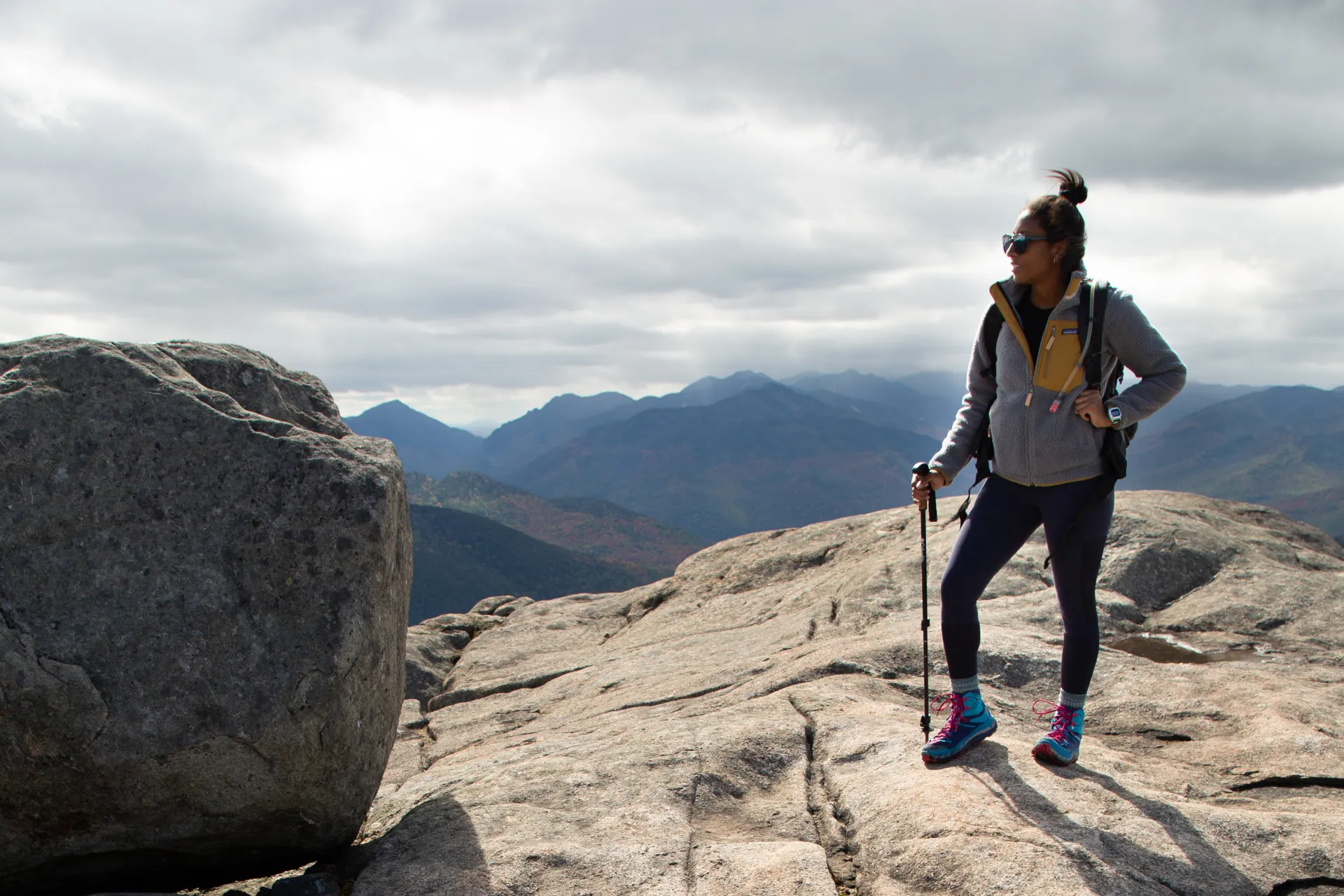
Bigger doesn’t always mean better
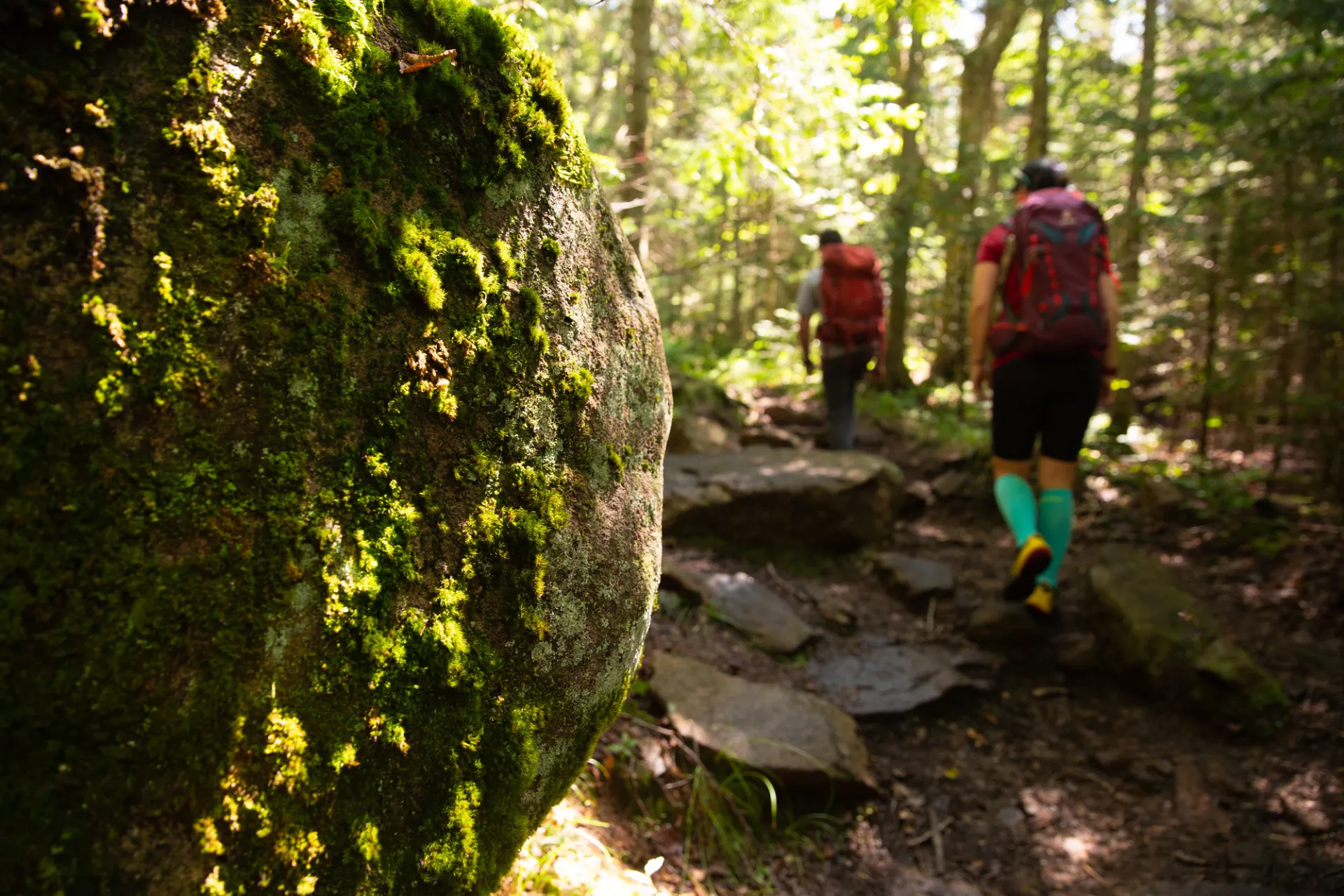
The High Peaks are an outstanding place to hike, but their summits aren’t as close as they appear. If you’re a first-time visitor, or if you’re new to hiking, we suggest challenging yourself with some of our more modest mountains before bagging one of the big ones. You’ll avoid some of the crowds that gather on our most popular peaks and still get the views you visited for — without all the leg ache and rock scrambling.
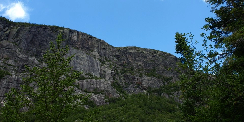
Pitchoff east
Cruise past all of the cars near the Cascade Mountain and Pitchoff west trailheads, and shortly after passing the stunning Lower Cascade Lake you’ll see a small, less-crowded parking area on the right that says “Pitchoff East.” Park here and carefully cross the road to the trailhead.
You’ll enter the words and climb slightly, then swing left to follow the road. Cliffs and boulders begin to peek from the woods to the right, a sample of the stunning scenery that awaits. The landscape here is beautiful and rugged, and bears resemblance to hikes up bigger mountains out west.
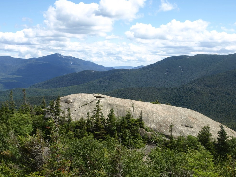
Before long the path swings right and follows a nice stream as it climbs toward the narrow divide between two of Pitchoff’s knobs — there are several along the ridge — before it bends left and traverses open rock to a fantastic view. The 3,323-foot north summit is a fine destination, but those seeking more can continue on. Pitchoff’s viewless, 3,600-foot summit is 1.8 miles farther, making it quite a distance to backtrack, but it is possible to do a point-to-point hike with two vehicles, one parked at the west trailhead and the other at the east.
Stats
- Distance: 1.4 miles to the north summit
- Elevation: 3,323 feet
- Elevation gain: 1,400 feet
- Trailhead: Take Route 73 east from Lake Placid for about 10.5 miles. The parking area is on the right; the trailhead is across the road.
Snow Mountain
Skip the Marcy-bound crowds and hike this lower but visually incredible mountain in Keene Valley to get views of the High Peaks and a couple of waterfalls without the long hike or huge elevation gain.
Snow Mountain is nestled in the heart of the High Peaks, but offers a much more attainable summit than the bigger mountains. Passing by a couple of waterfalls, the trail is great for kids and families as it climbs gradually. The views toward Giant Mountain and the St. Huberts Valley are unique, and with a long summit ridge there are numerous places to explore and take in differing views.
Stats
- Distance: 2.0 miles from the parking area
- Elevation: 2,370 feet
- Elevation gain: 1,200 feet
- Trailhead: From the intersection of Route 86 and Route 73 in Lake Placid, follow Route 73 toward Keene. Continue through Keene Valley. The trailhead is on the right 1.9 mi. south of the High Peaks sign in the center of Keene Valley and just north of a steel-sided bridge over the Ausable River. The trailhead is marked only by a small green sign with parking on the shoulder or at a wider turnout across the bridge
Round Mountain
While everyone else is clambering up the steep flanks on Giant or tackling one of the many peaks along the Great Range, you’ll be sitting pretty on Round Mountain, enjoying the commanding view of those peaks. Often overlooked for its taller neighbors, Round offers a solid half-day of hiking that includes some steep sections, rugged little gorges, and plenty of glimpses of the tremendous finale the summit offers.
Stats
- Distance: 2.3 miles
- Elevation: 3,100 feet
- Elevation gain: 1,820 feet
- Trailhead: Take Route 73 east from Lake Placid for about 22.5 miles, then turn right on Ausable Club Road. The parking area is on the left. Park here and walk up the road to the trailhead, which is also on the left.
Indian Pass
There’s nothing quite like seeing the 1,000-foot cliff in Indian Pass from Summit Rock for the first time. At 6 miles it’s a long haul to this view, but the steep sections are few and the rewards are great. There’s even a side path at 2 miles to a waterfall called Rocky Falls, which is a fine destination for a shorter trip, or for a place to take a mid-hike cool-down dip.
The most difficult part of the journey starts at 5 miles, where a rugged, half-mile climb into the pass begins. This section is difficult but exciting — the mountains close in, the boulders get larger, and then there’s the final reveal: the neck-craning cliff that makes up the entire side of the aptly-named Wallface Mountain
Stats
- Distance: 6 miles to Summit Rock
- Trailhead: Take Route 73 east from Lake Placid and turn right on Adirondack Loj Road after about 3 miles. Follow that to its end in about 4.5 miles, pay the parking fee at the booth, then turn left to enter the large parking area. The trail begins across the road from the parking booth.
Planning an adventure? Pick up some supplies in Lake Placid, and check out our "Recipes For Success" blog to pick up some tips on hiking!
Explore More
This summer, find a trip perfect for all your girls in Lake Placid

Lake Placid is one of the best places for a guys trip in the country. Lakeside golf courses, world-class breweries, and outdoor adventure combine here for the perfect trip.
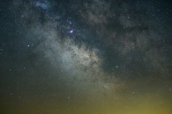
Discover why Lake Placid is a rising astrotourism destination, with pristine dark skies, innovative lighting efforts, and unforgettable stargazing experiences. Explore the best spots to watch meteor showers, learn how locals are protecting the night sky, and get tips for your visit.
Johns Brook Lodge, New York state's only backcountry lodge open to the public, turns 100 this year! Celebrate by reading a bit about it, and booking a stay at this backcountry getaway.