

- Out and Back
- Out and Back
- Out and Back


About
Indian Pass is a historical and old hiking route that leads from Lake Placid to Newcomb. The hike to Summit Rock via Indian Pass goes by waterfalls, underneath Wallface Mountain's cliffs, and through a boulder field. While the lower portions of this hike, from either direction, are easy to moderate, the upper reaches of the pass can be very difficult. A successful hike of Summit Rock involves research, physical fitness, the right gear, and knowledge of Leave No Trace principles.
Key takeaways
- Distance: 11.3 miles round trip
- Elevation of Summit Rock: 2,880-feet
- Elevation gain: 1,530 feet
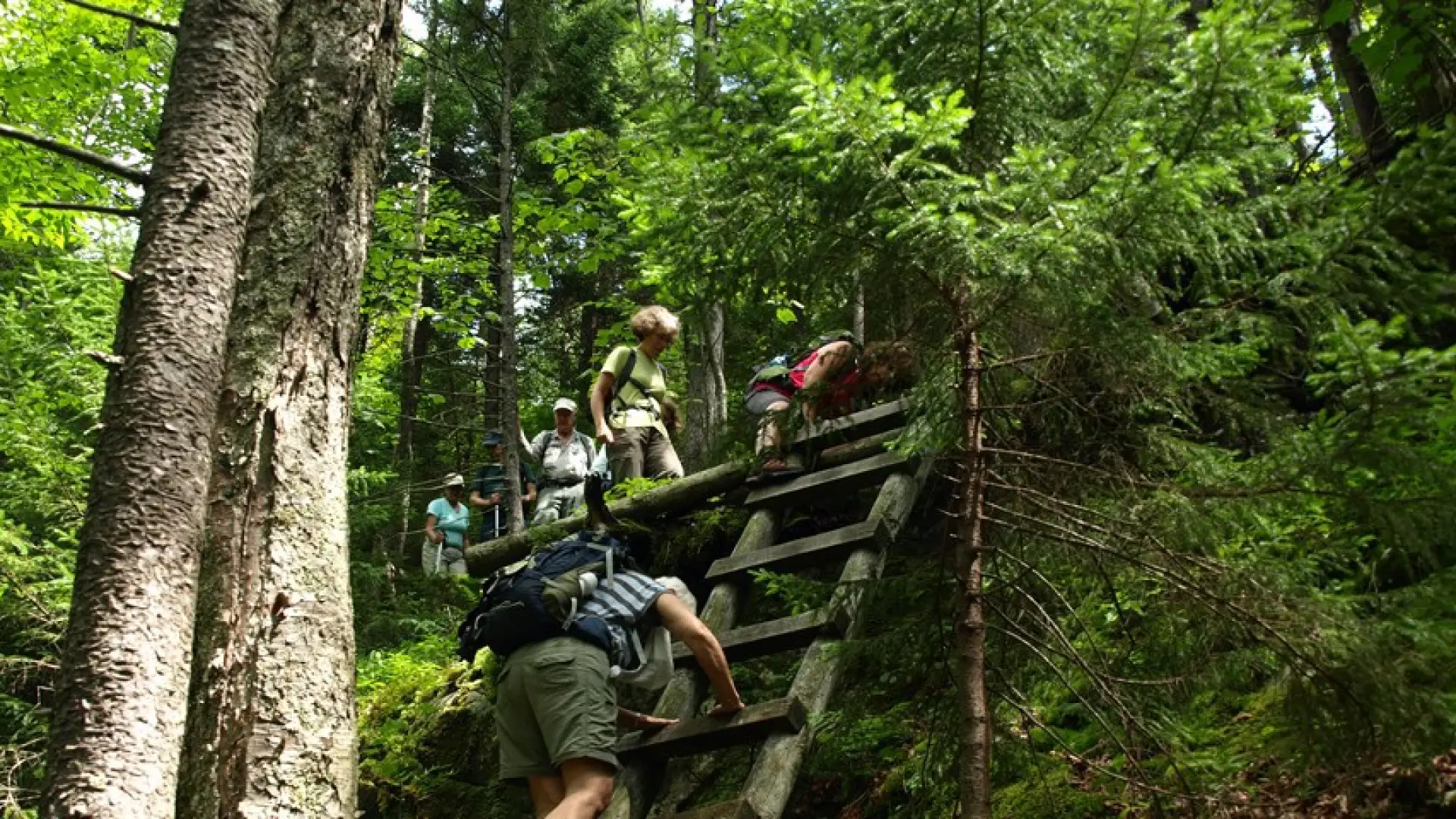
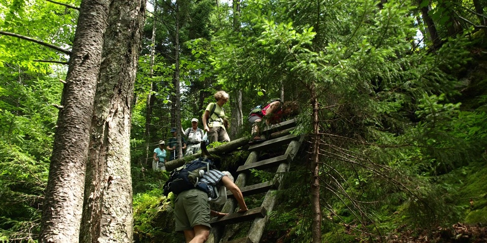
- Hike includes trail junctions, water crossings, and ladders
- Based on an out-and-back hike to Summit Rock from the Adirondack Loj
Hiking Indian Pass and Summit Rock
Described below is the out-and-back hike to Summit Rock via Indian Pass from the Adirondack Loj. You can also park a car at the Upper Works trailhead and do this hike as a point to point.
This 5.65 mile, one way, hike is over easy to difficult terrain. From the Loj parking walk back to the toll booth and cross the road, the trail is on the opposite side. Follow this over a gravel road to Heart Lake and make a right. This trail will now lead you around Heart Lake on a gradual hike. Do not take the right toward Mount Jo along this section. Once you pass the trail register at 0.4 mi. from the parking area, stay left at the next intersection and the straight at the next intersection. You will climb a bit to yet another trail on the left at 0.6 mi. Stay straight again toward Indian Pass.
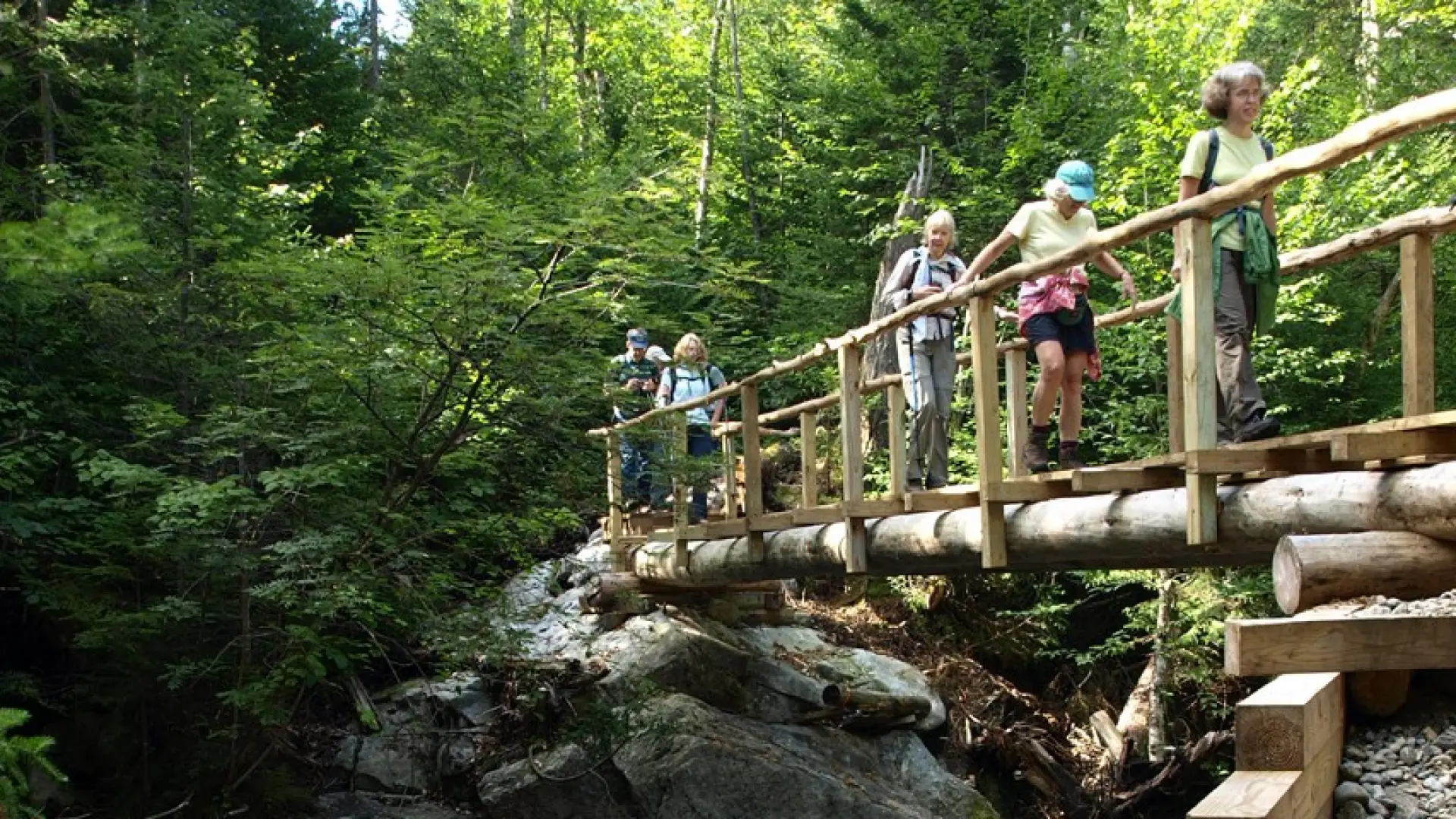
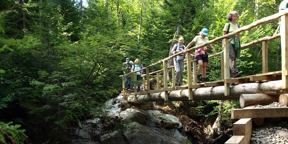
From here the trail is gradual, at times muddy, and with only one really aggressive uphill to a junction at 2.1 miles where you'll bear left. Here, you will pass the trail to Rocky Falls; avoid this unless you want to go for a quick swim and stop at the lean-to. Beyond here the trail has a couple brook crossings and passes by a lean-to at 3.8 mi. Not far past the lean-to is a trail intersection. Right leads to Wallface Ponds and straight leads to Indian Pass. You'll come to another trail intersection in about a mile. Left leads up over Cold Brook Pass to Lake Colden and straight again is Indian Pass.
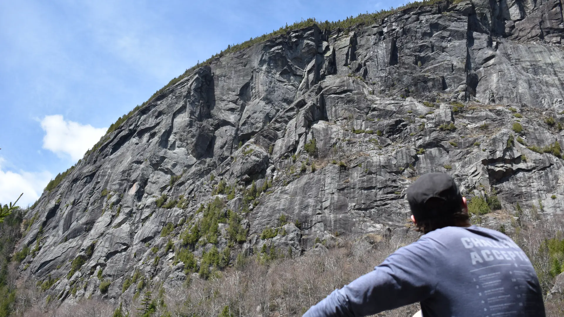
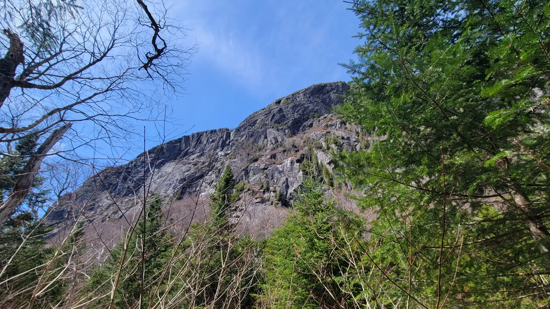
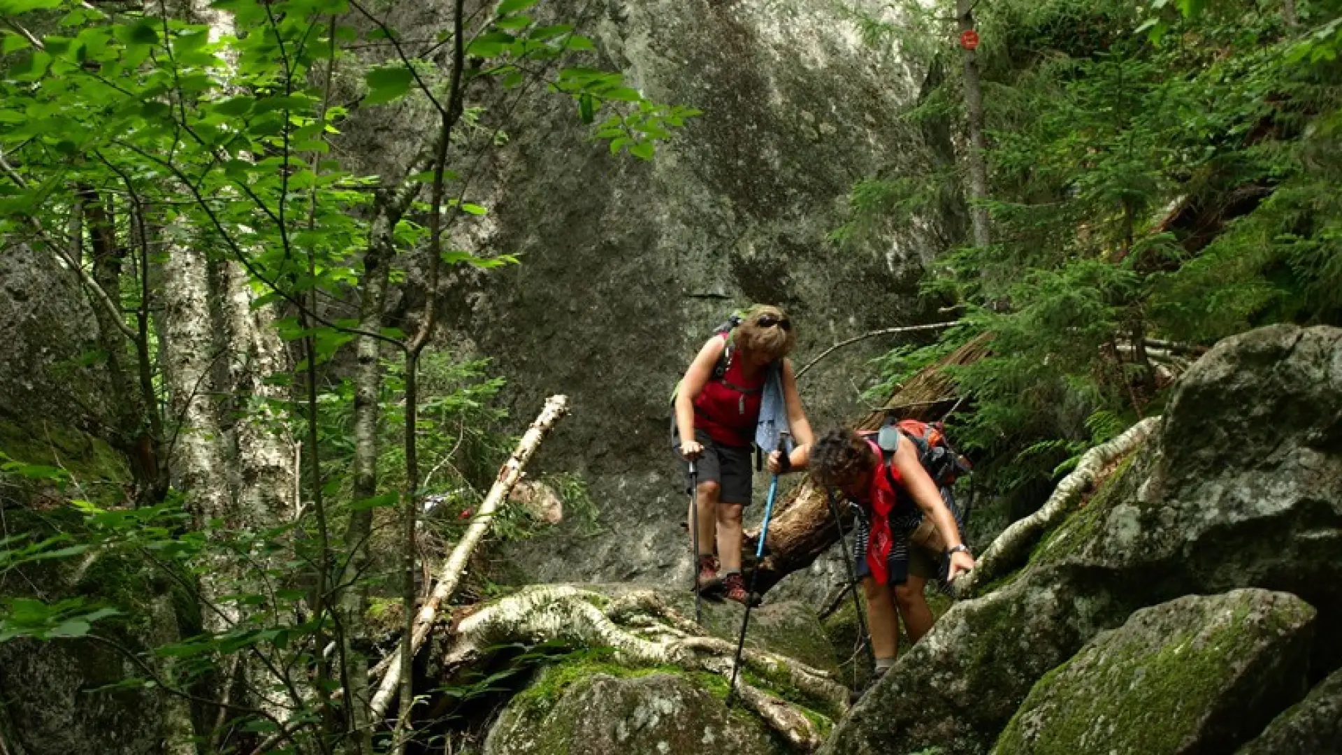
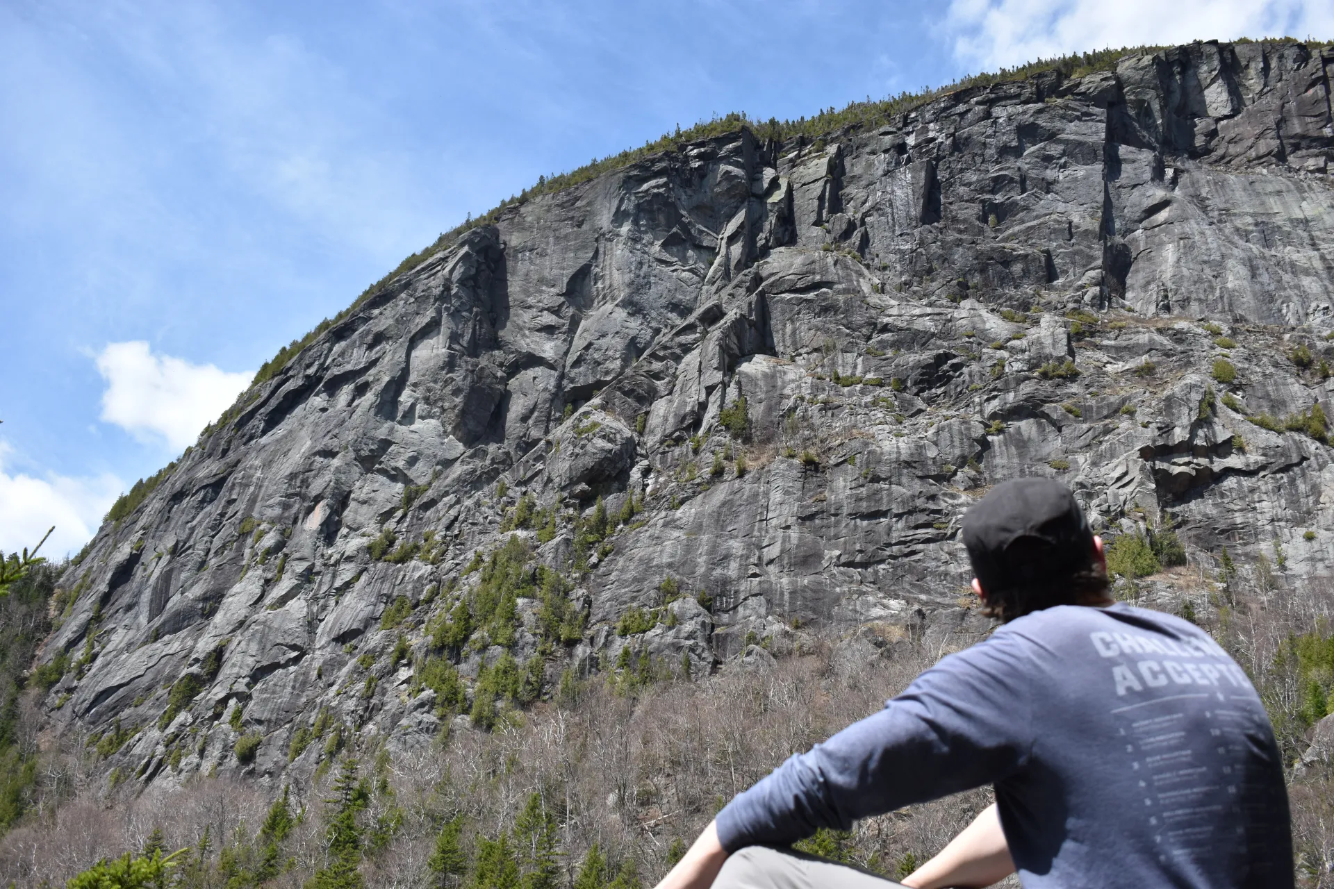
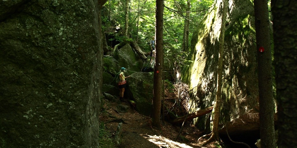
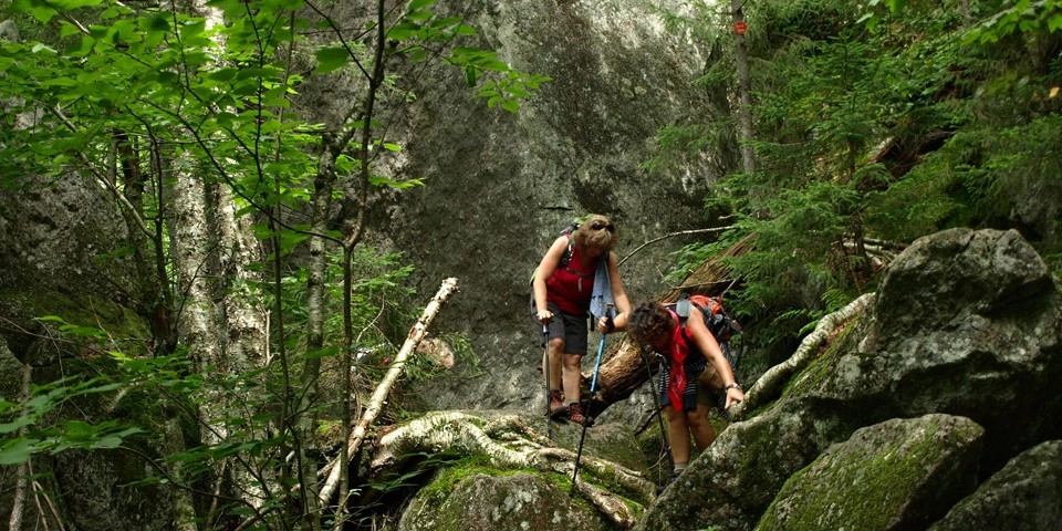
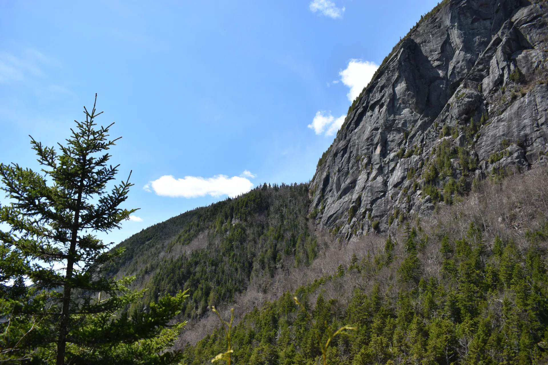
After this intersection the trail begins to climb into the pass and eventually starts going through a boulder field with hands and feet scrambling. This final approach to Summit Rock is an adventure to remember. The views from Summit Rock are some of the finest. With the sheer cliffs of Wallface Mountain above and the boulder fields below you are sure to have a moment of awe. The short herd path to Summit Rock isn't quite at the height of land, so when you are hiking from the north, continue a bit farther past the high point.
Indian Pass in the winter
Indian Pass and Summit Rock are seldom traveled in the winter, be prepared to break trail. The upper reaches of Indian Pass can be dangerous, with large boulders resulting in hidden holes you could fall into. This trail in the winter should only be attempted by experienced hikers, so make sure you are prepared.
Find your perfect trail near Lake Placid
Does Indian Pass sound amazing, but a little more than you want to tackle right now? No need to stress, with over 2000 miles of hiking trails in the Adirondacks we are sure we can find the perfect hike for you.
History
Summit Rock and Indian Pass are of historical significance for the Adirondack Park and was the key passageway to the discovery of the Tahawus Mine in the Upper Works Region.
How to get there
Adirondack Loj Trailhead: From the intersection of Route 73 and Route 86 follow Route 73 toward Keene. Continue to Adirondack Loj Road on the right, follow here to the end, and park. There is a parking fee.
Upper Works Trailhead: From exit 29 off I-87, turn west onto Blue Ridge Road (CR 84) toward Newcomb. Follow this route for 17.4 miles to an intersection with Tahawus Road (CR 25). Turn right on Tahawus Road and stay on it for 6.3 miles then turn left at a sign for High Peaks trails. Pass by the old blast furnace at 2.8 miles up this road. From the blast furnace, it is less than one mile to your destination. The road dead ends at the trailhead. Please park in the new 60-car capacity lot adjacent to the MacNaughton Cottage.