


About
Hiking New York's 12th tallest mountain
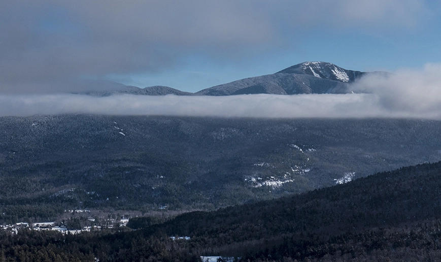
Giant Mountain is the 12th tallest of the Adirondack High Peaks. It is a steep, serious hike no matter the trail you take up, and requires significant preparation. A successful hike of Giant Mountain involves research, physical fitness, the right gear, and knowledge of Leave No Trace principles. The parking areas for Giant Mountain fill quickly, especially in the summer, and it is not permitted to park along Route 73.
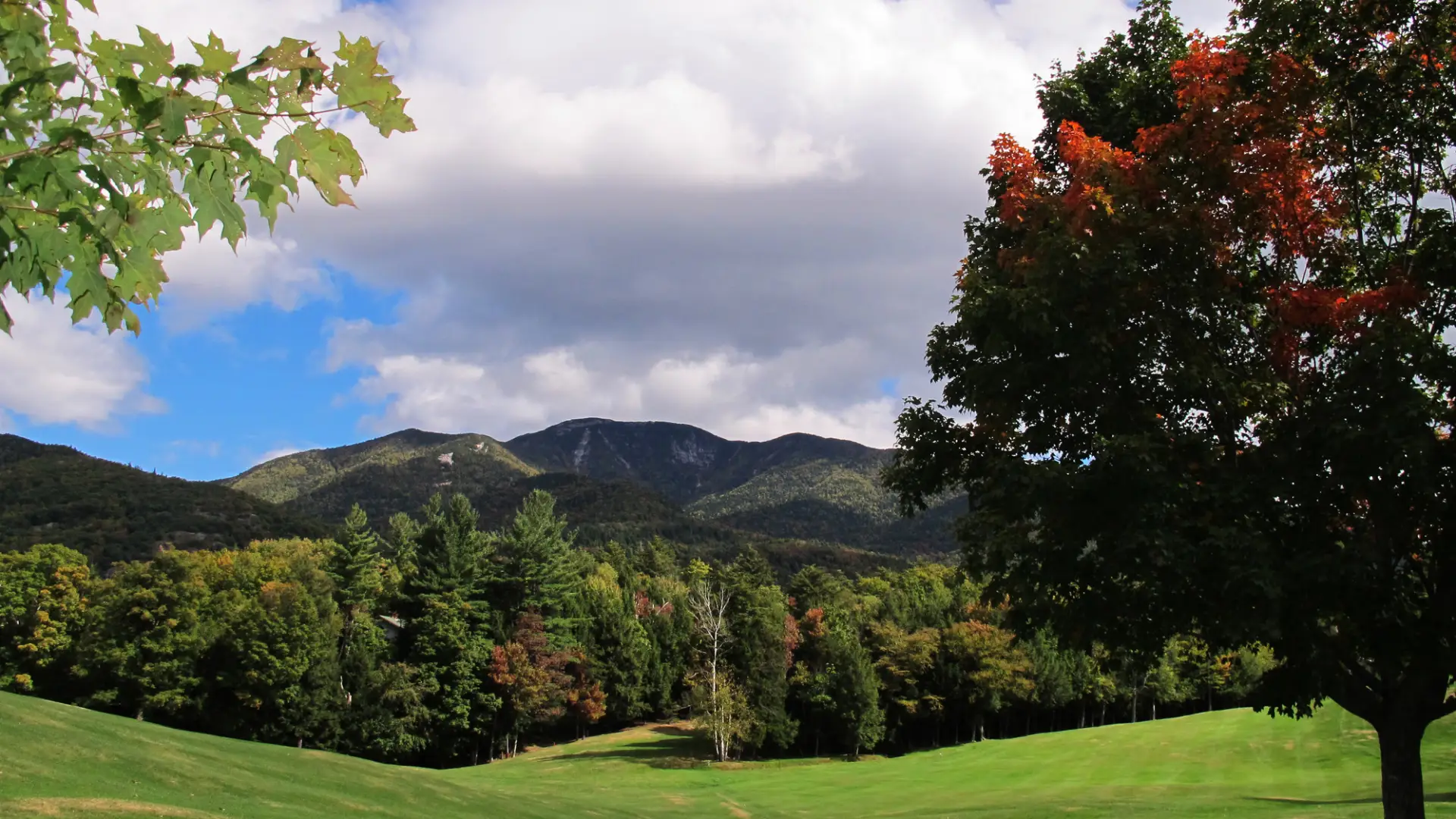
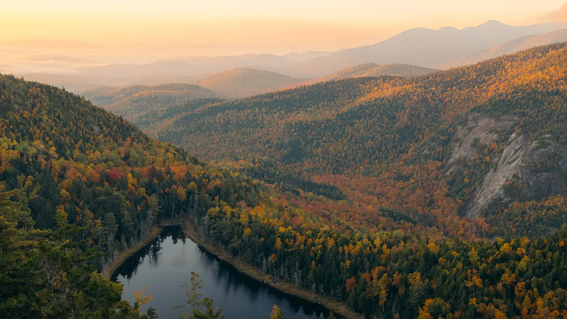
Giant is a shortened name for the peak that was originally called Giant of the Valley, and that's exactly what it is — a huge landmass that towers over Keene Valley and the Champlain Valley to the east.
Key takeaways
- Elevation: 4,627 feet
- Footpath distance and elevation gain depends on the trail taken. See descriptions below.
Hiking Giant Mountain
There are four main routes up Giant with several variations possible, all of which are steep, strenuous climbs. In addition to the three trails described below, Giant can also be approached by first climbing Rocky Peak Ridge, another High Peak, via New Russia. This alternate trail has a primitive camping site near the top of Rocky Peak Ridge, adjacent to Lake Mary Louise.
Roaring Brook Trail
The Roaring Brook Trail is a good option for those looking to hike Giant, and also want to include a waterfall into their day.
- Elevation gain: 3,375 feet
- Distance: 6.6 miles round trip
The Roaring Brook Trail begins deceptively easy as it proceeds on the level for 0.1 miles to the junction with the short and easy spur trail to the base of the 130-foot falls, which are well worth seeing. Bearing left, the trail ascends away from the valley at an even, moderate grade. The path becomes pretty easy at 0.3 miles. At the half mile mark there is a trail to the right that leads to the top of Roaring Brook Falls. Take a minute to check out the view, just be aware that this is a dangerous place and it's best to avoid the edge of the falls, especially if the rocks are wet.
The path remains easy to moderate as it reaches a trail at 1.1 miles that connects to the Ridge Trail via Giant's Washbowl. The trail remains moderate until 1.4 miles, at which point it begins steeply climbing away from Roaring Brook — there's even a wooden ladder at one point. The trail junction with the Ridge Trail is reached at around 2.5 miles in. From here, the trail alternates between moderate and steep grades, then it passes the trail to Rocky Peak Ridge 0.1 mile before bearing left and reaching the summit.
Directions: From Lake Placid, take Route 73 east for about 22 miles. The Roaring Brook parking area is on the left across from the parking for the AMR.
Ridge Trail
The Ridge Trail (also known as the Zander Scott Trail) is one of Giants more popular routes, and involves a scenic, exposed hike over bare rock.
- Elevation gain: 3,050 feet
- Distance: 5.4 miles round trip
This unrelentingly steep route up Giant begins climbing at the trailhead and never eases until the summit. It is steep and exposed along a good portion of the ridge, which does make it incredibly scenic as well.
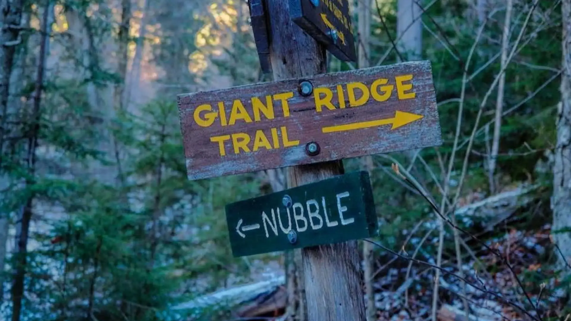
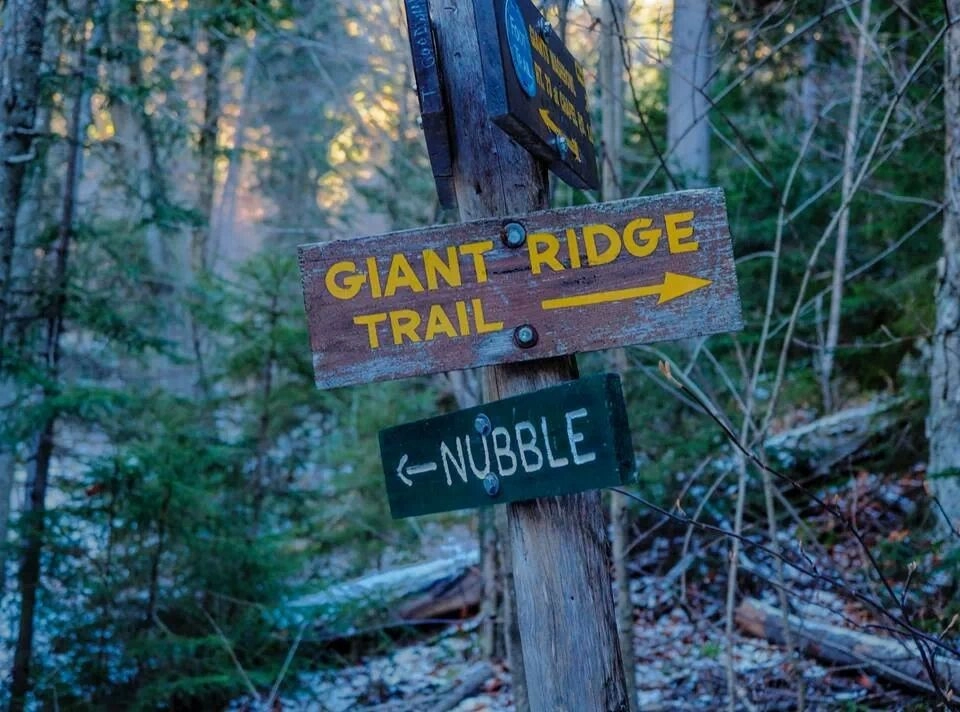
The trail climbs moderately to steeply from the road with little reprieve to a nice lookout over Chapel Pond at 0.7 miles. Just beyond this is Giant's Washbowl, a small and scenic mountain pond. The trail left connects to the Roaring Brook Trail, straight crosses the pond's outlet and passes a campsite before continuing up Giant. At the 1 mile mark there is a side trail left to Giant's Nubble. If you're already tired, consider making the 0.5 mile ascent to the Nubble and calling it a day — the trail becomes very steep after this junction.
Continuing on, the trail continues to climb and soon comes to the first open section of rock. Many other open sections follow as the path ascends Giant's long, mostly-exposed ridge. The climbing eases at just over 2 miles, where there's a junction with the Roaring Brook Trail. From here, the trail alternates between moderate and steep grades, then it passes the trail to Rocky Peak Ridge 0.1 mile before reaching the summit.
Directions: From Lake Placid, take Route 73 east for about 22 miles. The Roaring Brook parking area is on the left across from the parking for the AMR. To get to the Ridge Trail trailhead, continue for another 1.5 miles and look for the parking areas on the left and right of the road, just past Chapel Pond. Be careful of fast-moving cars as you get ready for your hike.
The North Trail
The North Trail is Giant's lowest trafficked trail to the summit. Described is an ascent from the North Trail via the parking area for Owl's Head Lookout.
- Elevation gain: 4,200 feet
- Distance: 13.6 miles round trip
The North Trail leaves the parking area along a dirt driveway, which it follows for a short distance before dropping into the woods. From here it's an easy climb for the first mile to a crossing of Slide Brook, then it becomes a steady, but never steep, uphill walk. The trail rounds out atop a ridge at 2.5 miles, where there's a short, steep, 0.1 mile spur trail to Owl Head Lookout on the left. If you're already tired at this point, consider making the lookout your destination for the day — the trail up Giant will get more difficult.
Continuing past the junction, the trail travels down into a valley before climbing to an open maple grove at 3.4 miles. Check out the view that's just past the grove on the left. The trail descends briefly then begins to climb more steeply to a large glacial bank called High Bank at 4.1 miles. The trail continues its long ascent of Giant, passing a lean-to at 5.7 miles before easing off a bit. The trail then begins to steeply climb at 6.1 miles, before levelling off again after 0.7 miles, then it again begins climbing to a nice ledge, which is very close to the summit at 6.8 miles.
Directions: From Lake Placid, take Route 73 east for about 16 miles and turn left on Route 9N. Follow that for 5.7 miles and look for the parking area on the right.
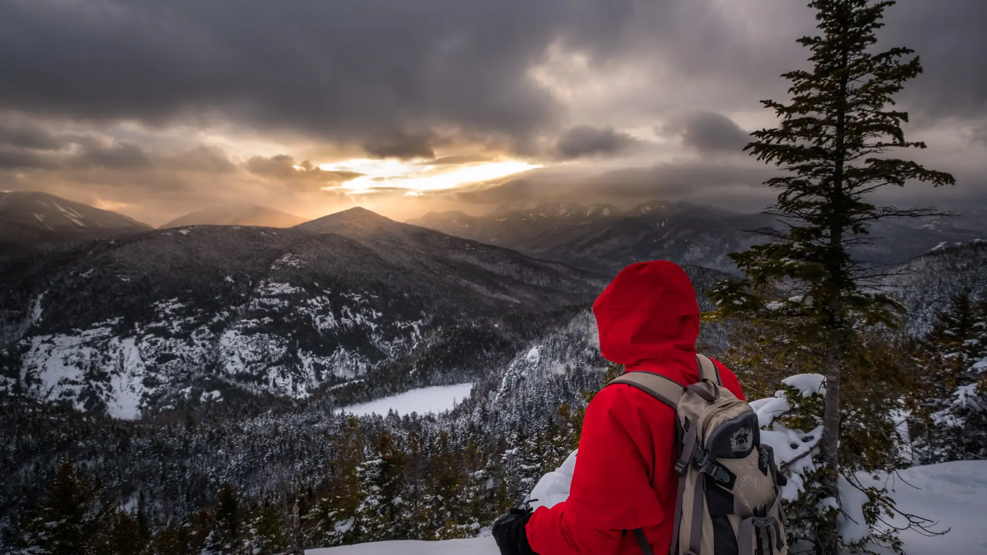
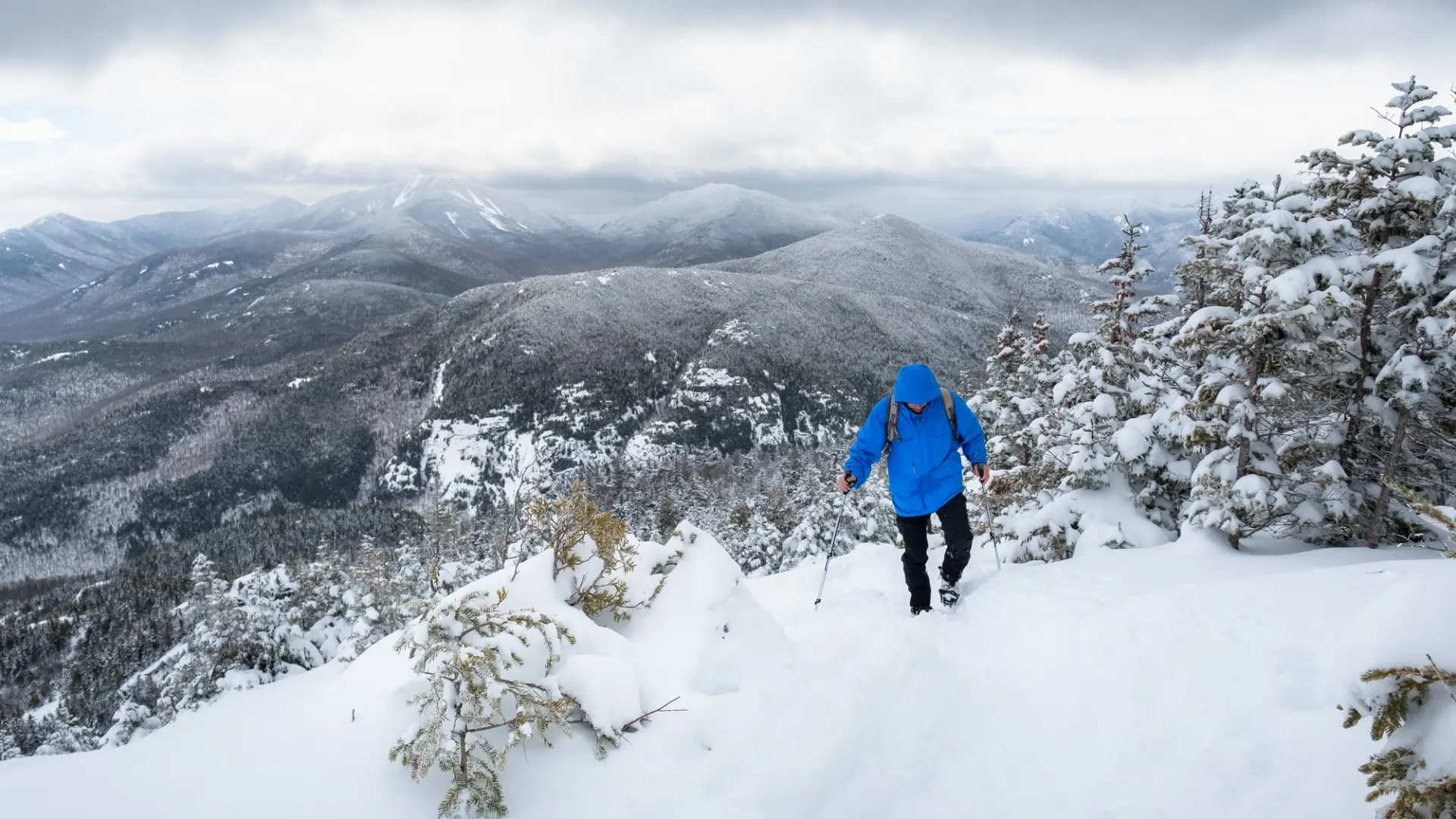
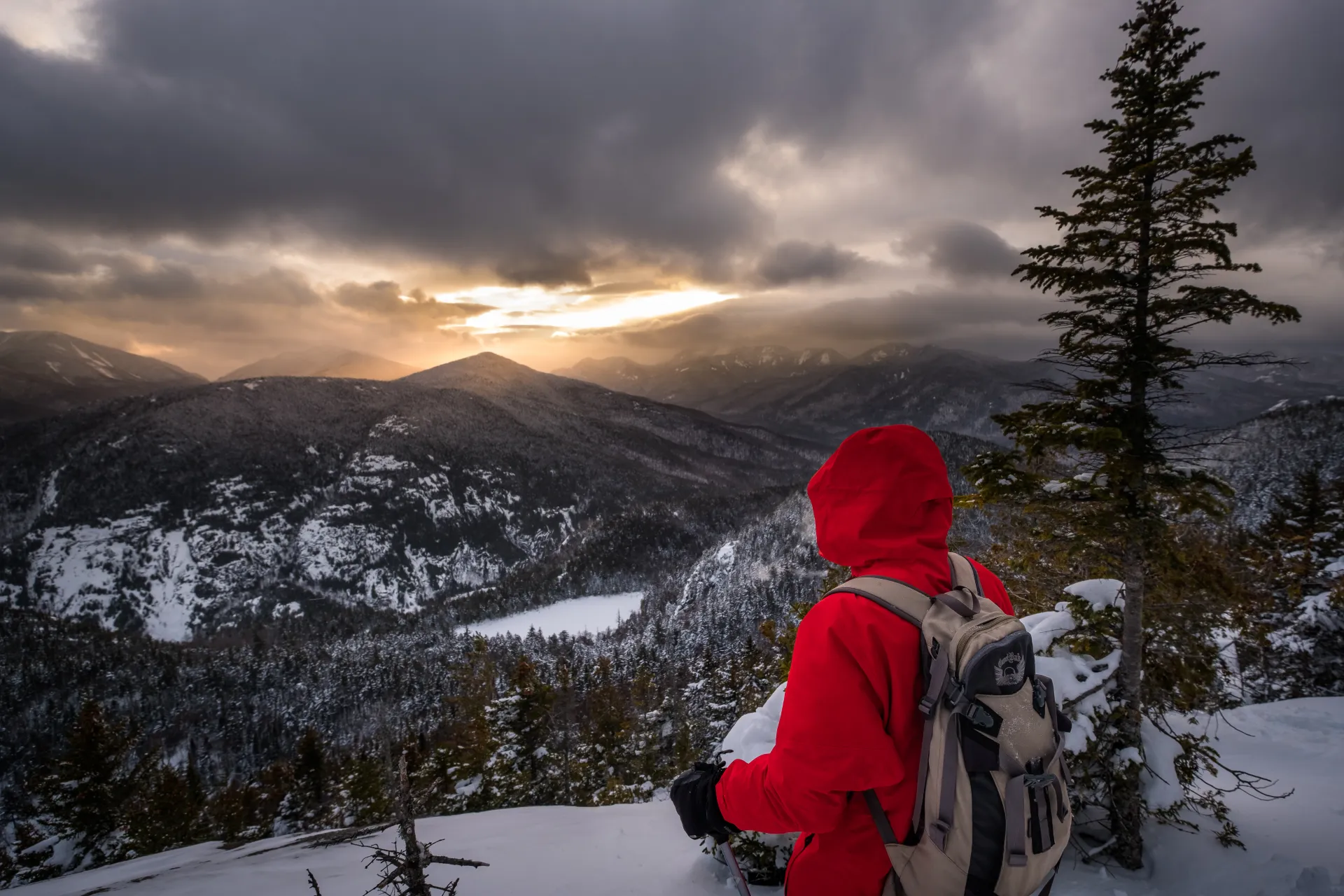
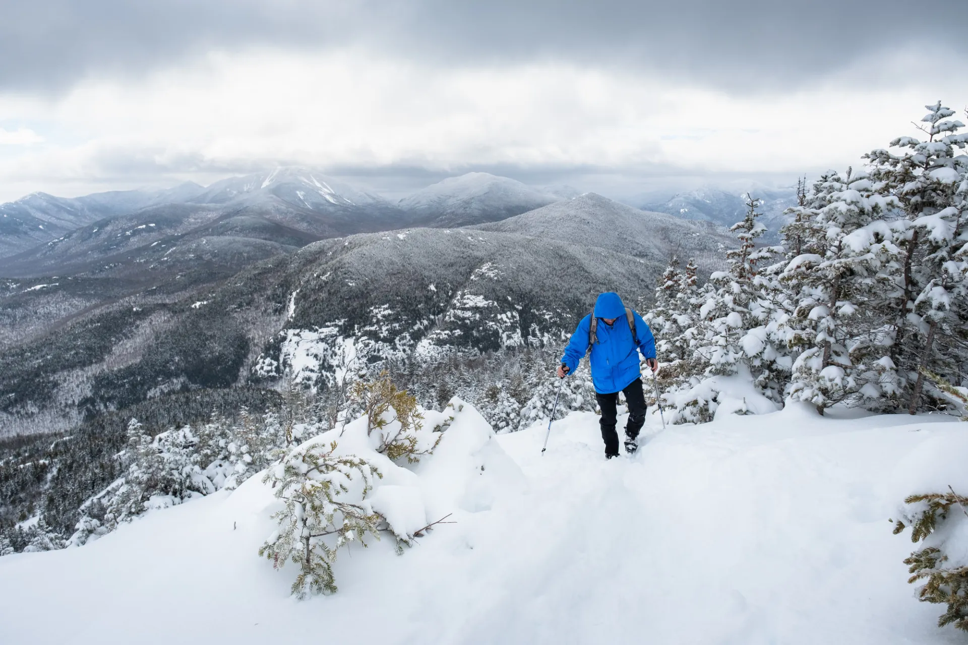
Giant Mountain in the winter
Giant Mountain is a challenging mountain that should only be attempted by experienced hikers, especially in winter, so make sure you are prepared. Snowshoes are necessary, and snow spikes or crampons are needed to climb the exposed upper reaches of the peak, especially on parts of the Ridge Trail. Plan on temperatures in the higher elevations being at least 20 degrees colder than at the trailhead, not including the windchill. Bring several extra non-cotton layers, a headlamp with spare batteries, extra food, a windbreaker, goggles, a face mask, and supplies for spending the night in case of an emergency.
Find your perfect trail near Keene Valley
Does Giant Mountain sound amazing, but a little more than you want to tackle right now? No need to stress, with over 2000 miles of hiking trails in the Adirondacks we are sure we can find the perfect hike for you.
Emergency Information
Related Content

Ready to hike in the High Peaks? There is no set way for how to become a 46er, but there is a R.I.G.H.T. way.

Lake Placid, NY is home to short hikes, moderate hikes, and longer hikes, making us the perfect hiking destination for any hiker! Read these hiking safety and etiquette tips that will keep you safe and happy on the trails this summer!