- Out and Back
- Out and Back
- Out and Back


About
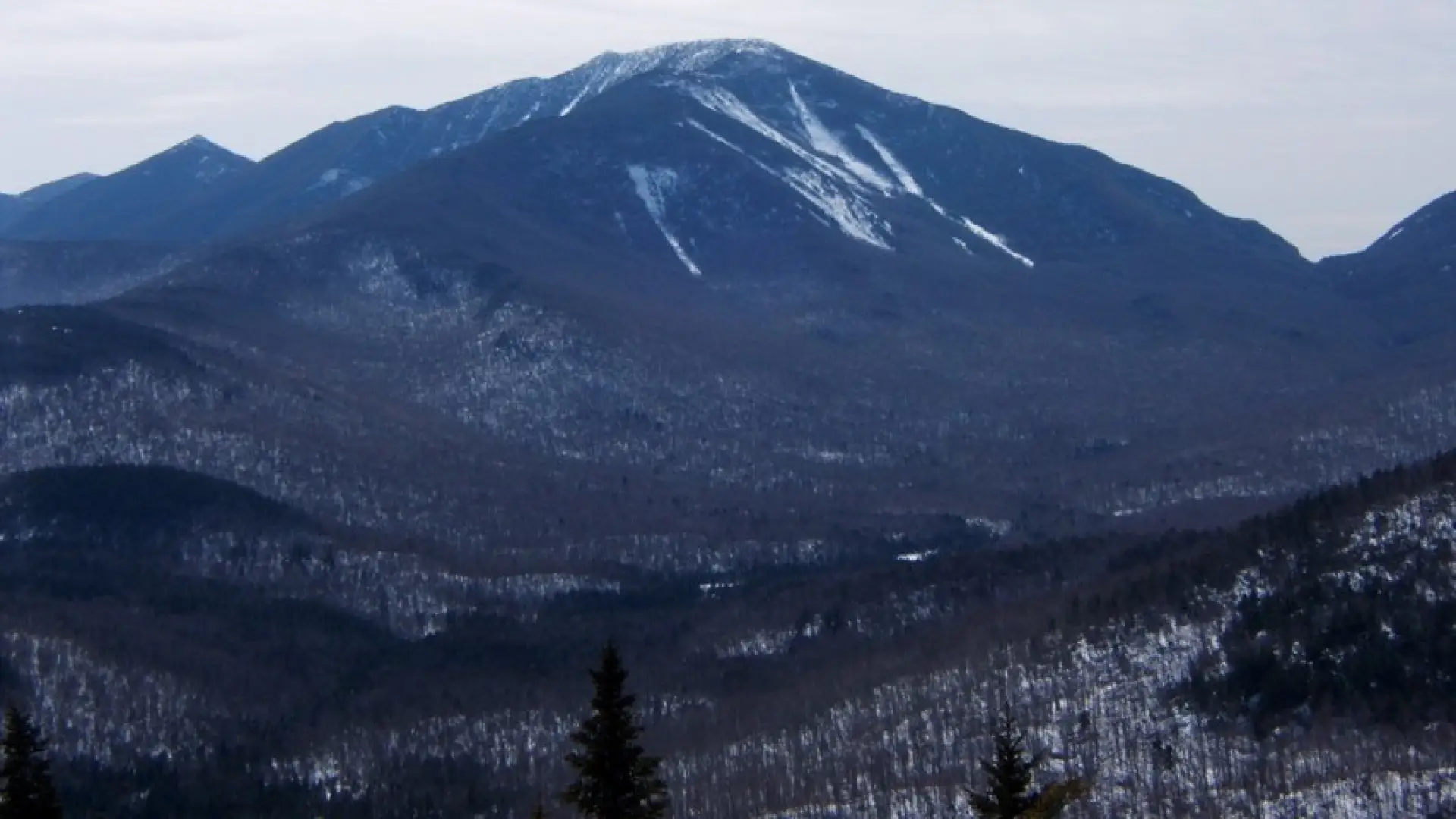
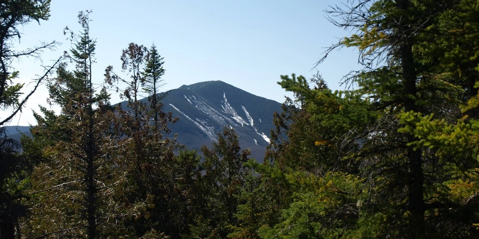
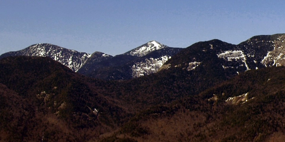
Round Mountain is a rocky summit adjacent to the more popular Noonmark Mountain, and can be hike a few different ways. It is a steep hike that requires preparation. A successful hike of Round Mountain involves research, physical fitness, and knowledge of Leave No Trace principles.
SPECIAL INFORMATION
This hike is accessed through a conservation easement with the Adirondack Mountain Reserve (AMR). A parking reservation is needed from May 1 - October 31. Although it is called a “parking reservation,” everyone will need a reservation to access hikes leaving from AMR, whether you drove yourself, rode a bike, got dropped-off, or walked. These reservations can be made online via the AMR website. For more information, please read these FAQs or contact the New York State Department of Environmental Conservation.
Key takeaways
- Distance: 4 miles round trip
- Elevation: 3,070 feet
- Elevation gain: 1,900 feet
- Hike includes trail junctions, steep rock slab, an exposed summit, and a road walk
- Based on the out and back of the first trail described
Hiking Round Mountain
While the first trail described is mainly used as an out and back, hikers can also combine it with the second trail described for a loop hike.
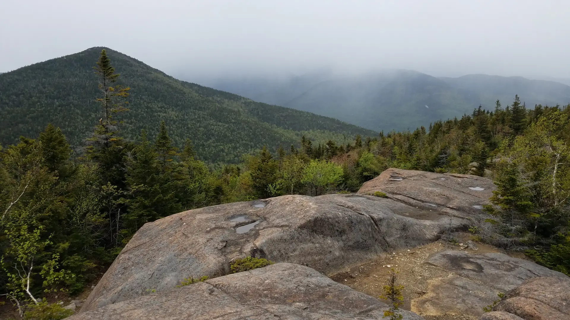
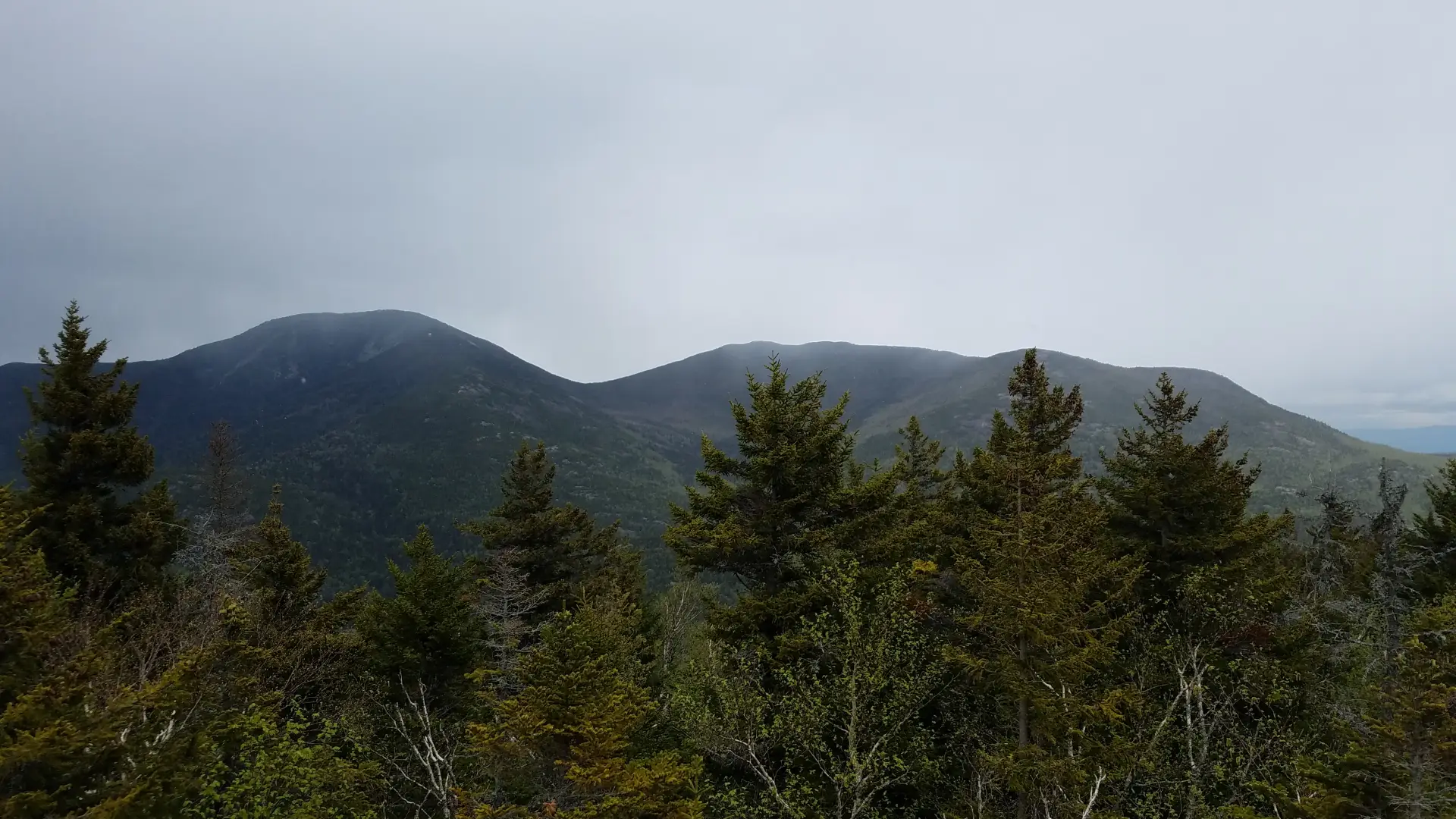
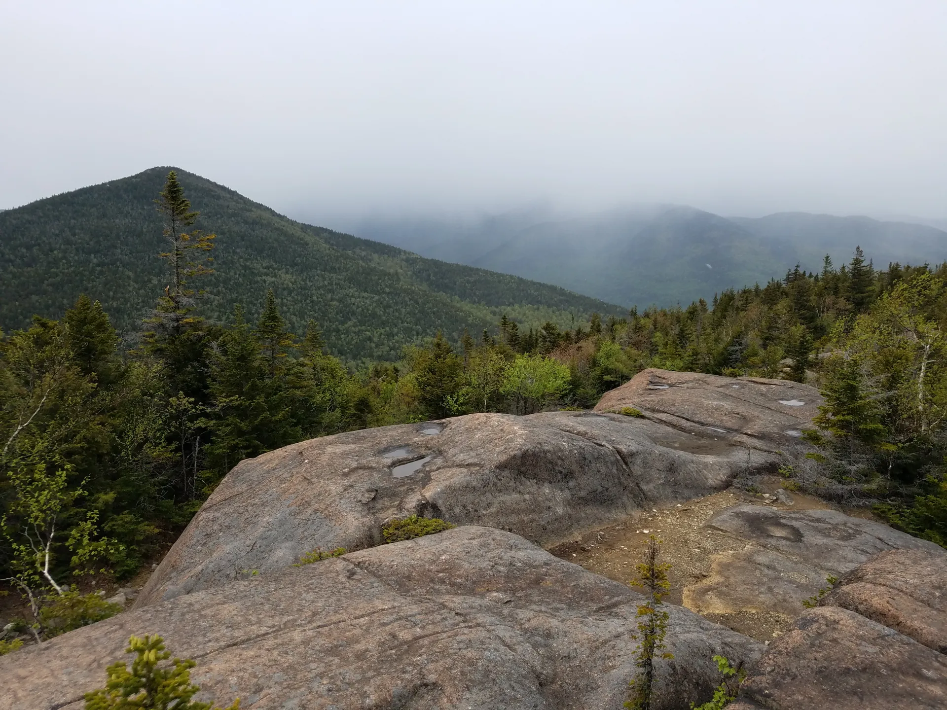
From the parking lot, continue to walk up the dirt road for a few hundred feet to the trail for Round Mountain on the left. The trail starts out climbing almost right off and delivers you to a high plateau where there are excellent views out over the Beer Walls (a popular climbing crag). From here the trail continues to be moderate, but soon climbs more aggressively as it approaches the open rock summit. The top of this mountain is dotted with open rock overlooks and continuing mountain vistas.
The alternative trail starts at the same location, making a loop possible. From the parking lot continue to walk up the dirt road for around 0.25 miles to the trailhead for Noonmark Mountain, which is also a private driveway. Follow the drive to the foot trail which diverges to the right 0.2 miles from the road just before reaching a large barn. From this point the trail is moderate as it follows an old woods road. At about 1.5 miles from the trailhead you will come to the Round Mountain Trail on the left. This trail intersection can be easily missed if one isn’t paying close attention. From here the climb begins to be a bit more serious. The terrain steepens as you ascend and eventually you will come to more open rock scrambling. This is a lead in to the summit views and rocky outcropping found on the summit area.
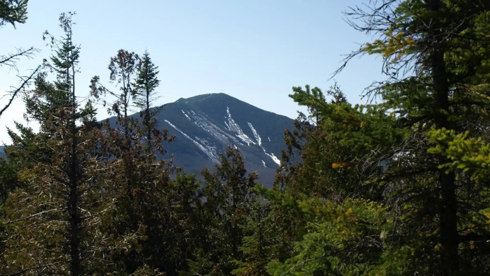
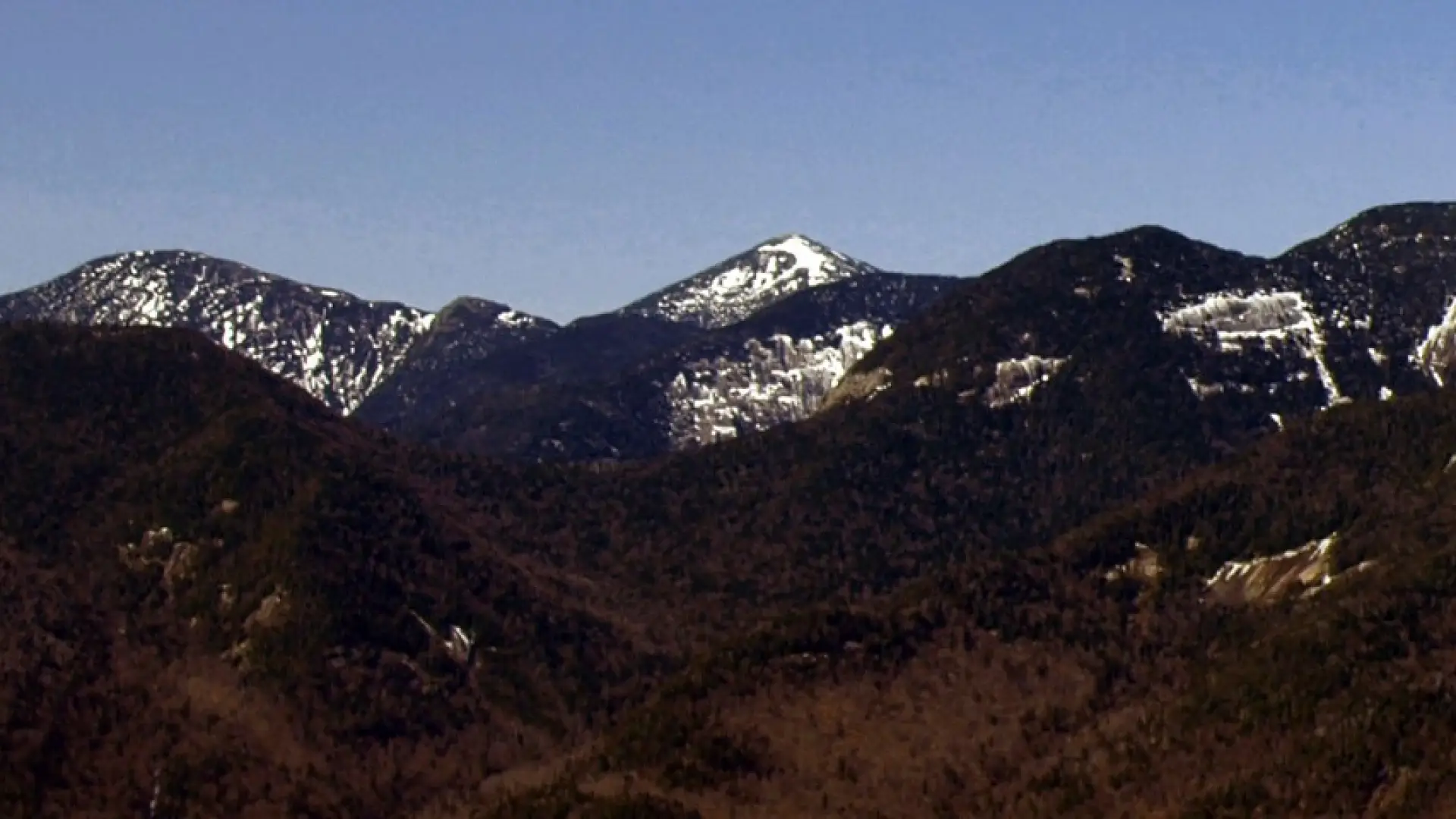
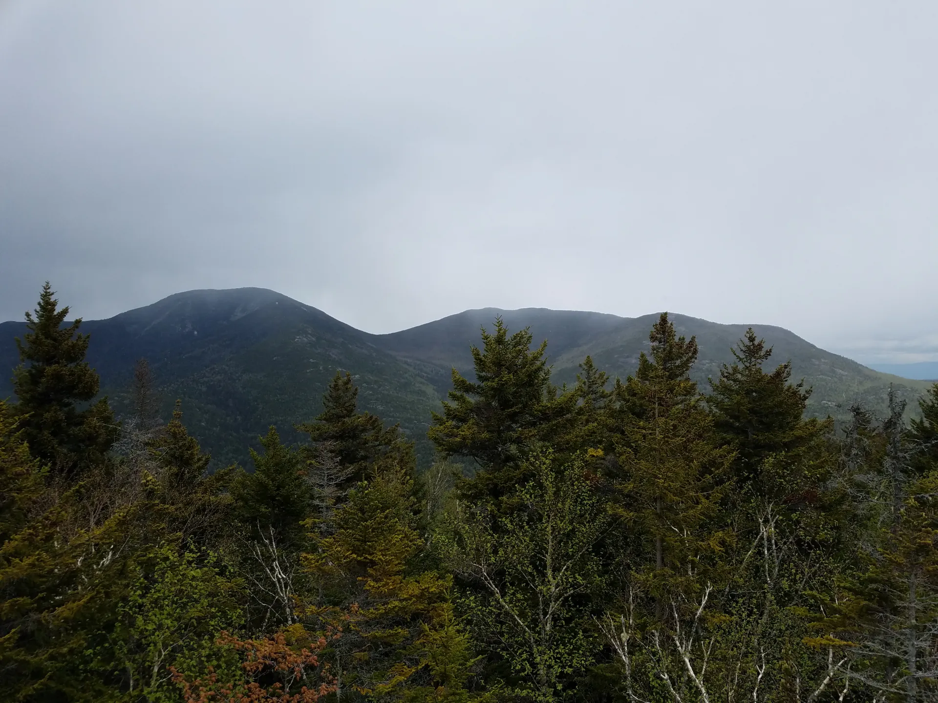
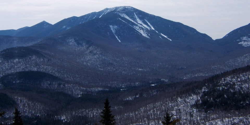
Round Mountain in the winter
This makes for a challenging snowshoe with steep patches and rock scrambling.
Find your perfect trail near Keene Valley
Does Round Mountain sound amazing, but a little more than you want to tackle right now? No need to stress, with over 2000 miles of hiking trails in the Adirondacks we are sure we can find the perfect hike for you.
How to get there
From the intersection of Route 86 and Route 73 in Lake Placid, follow Route 73 toward Keene. Continue through Keene and Keene Valley and proceed to Saint Huberts. Locate the trailhead for Giant Mountain and Roaring Brook Falls on the left. The parking for Round Mountain at the AMR is directly across the road.