
- Out and Back
- Out and Back
- Out and Back


About
Warning: A slide on the southeast side of Mount Colden into Feldspar/Lake Arnold trail has blocked the trail. There is a necessary, short bushwhack around debris to continue on trail. Do not plan on taking this route as a loop hike for Marcy, Gray, and Skylight until further updates.
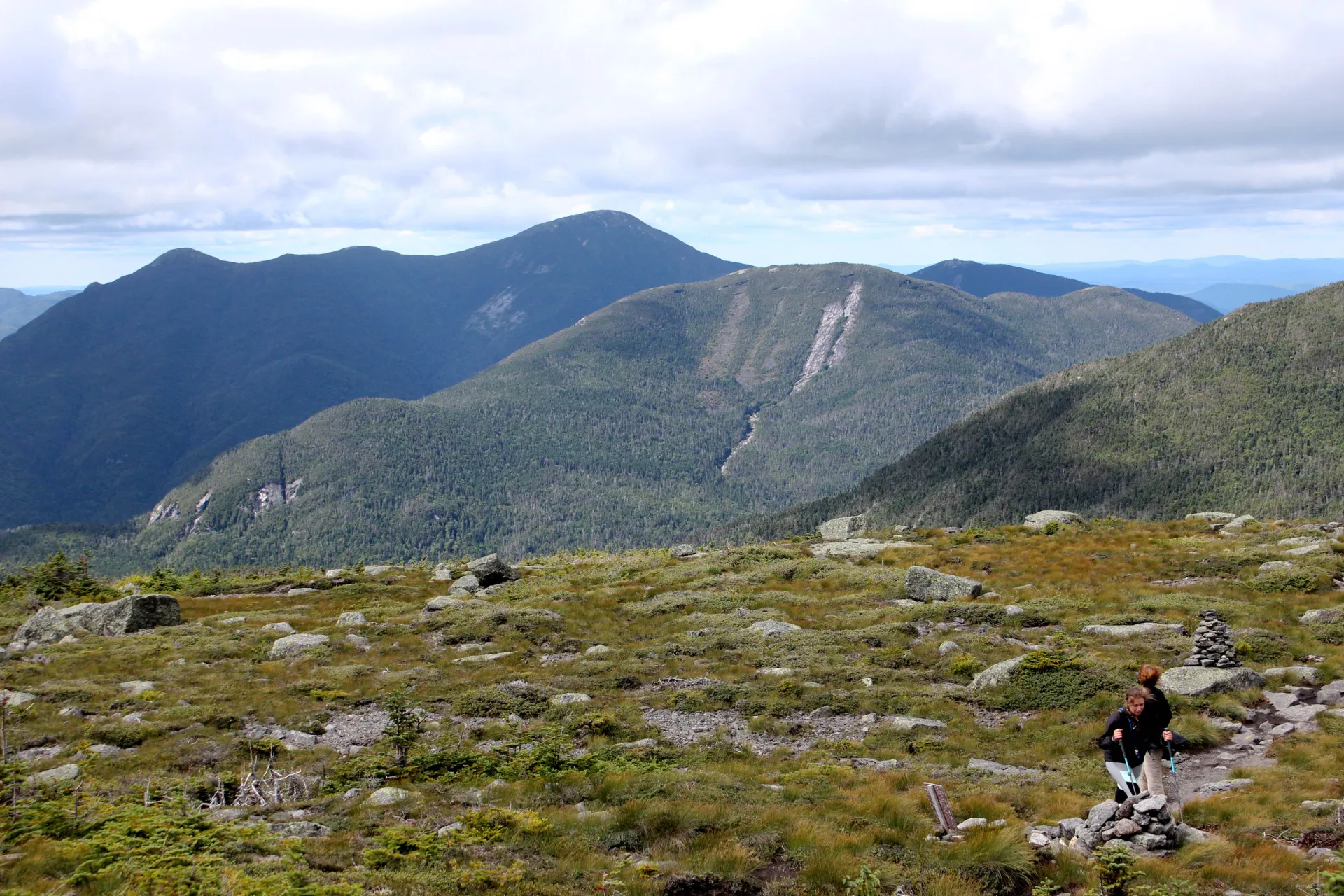
Hiking New York state's fourth highest peak
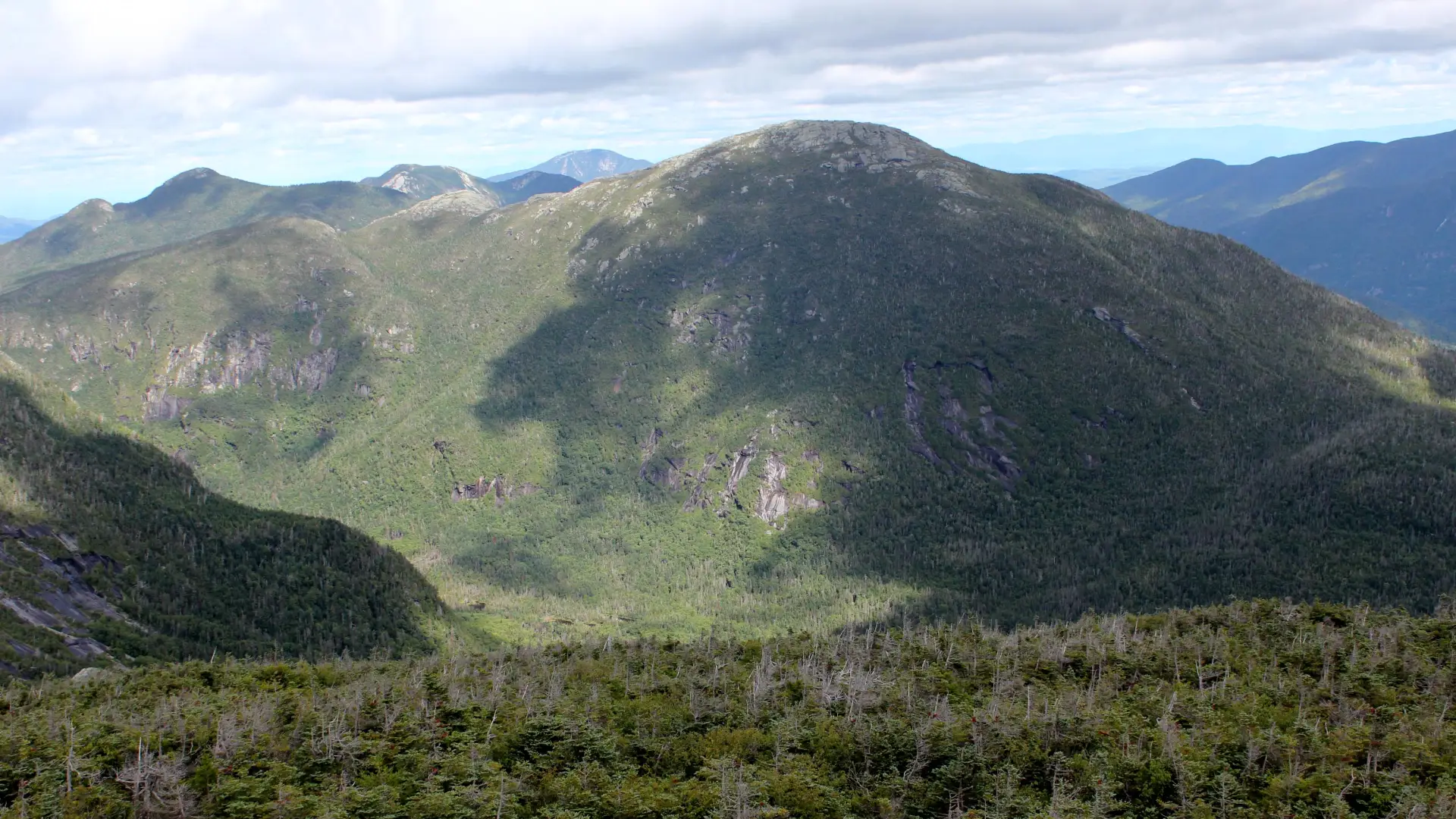
Mount Skylight is the fourth tallest of the Adirondack High Peaks. It is a steep, serious hike that requires significant preparation. A successful hike of Mount Skylight involves research, physical fitness, the right gear, and knowledge of Leave No Trace principles.
Key takeaways
- Distance: 8 miles, one way
- Elevation: 4,926 feet
- Elevation gain: 5,100 feet
- Hike includes water crossings, steep rock slab, and trail junctions
- Based on taking the Van Hoevenberg Trail over Mount Marcy to Skylight
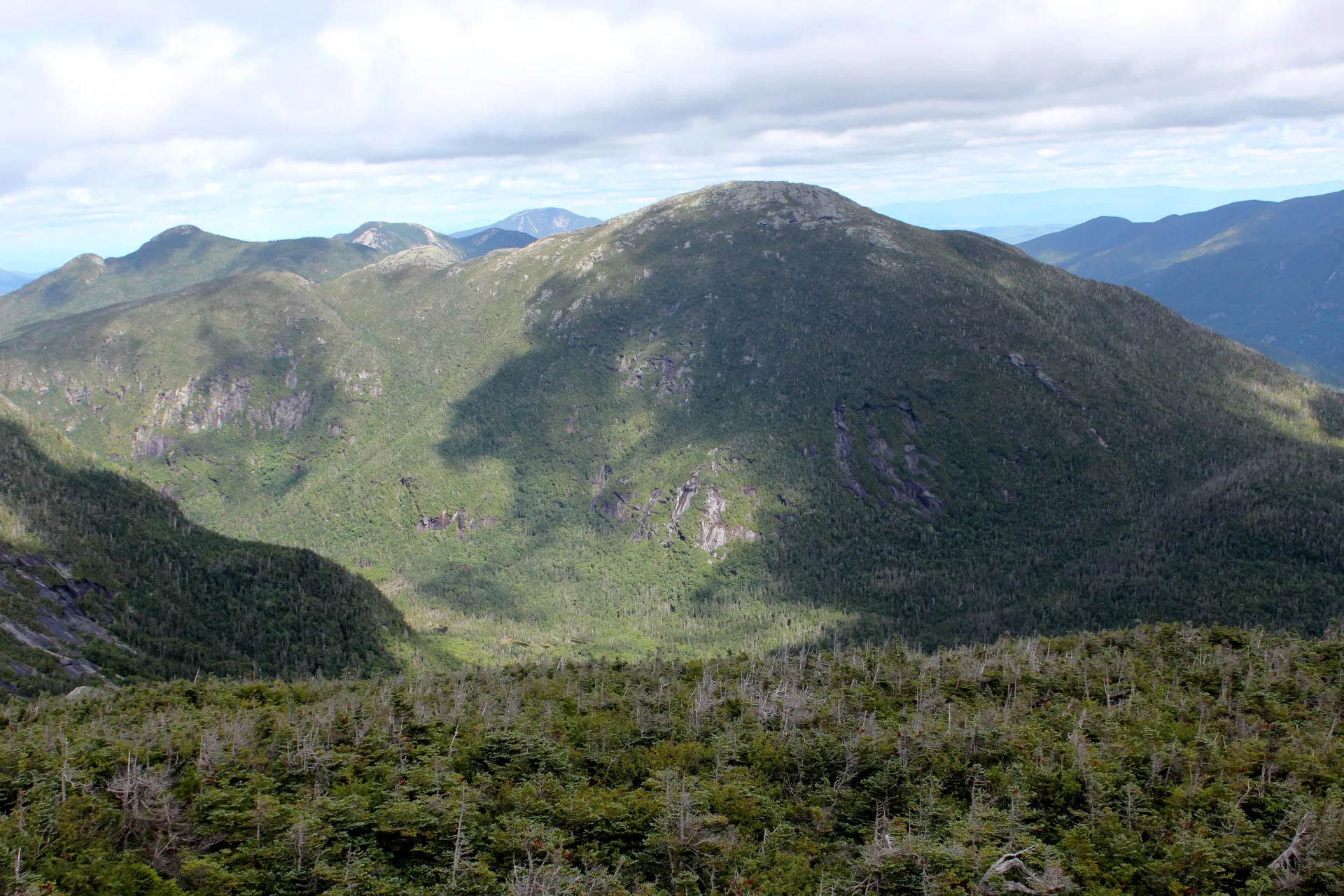
Hiking Skylight
There are multiple trails to the summit of Mount Skylight. Information on this page describes the out-and-back route taken from the High Peaks Information Center (HPIC), over Mount Marcy, to Skylight, and back. Information on the southern approach from Upper Works can be found here. This peak is often climbed in conjunction with Mount Marcy and Gray Peak. The Adirondack Mountain Club is asking that people stop carrying rocks to the summit as it can damage alpine vegetation and create hazards for hikers and the Summit Stewards.
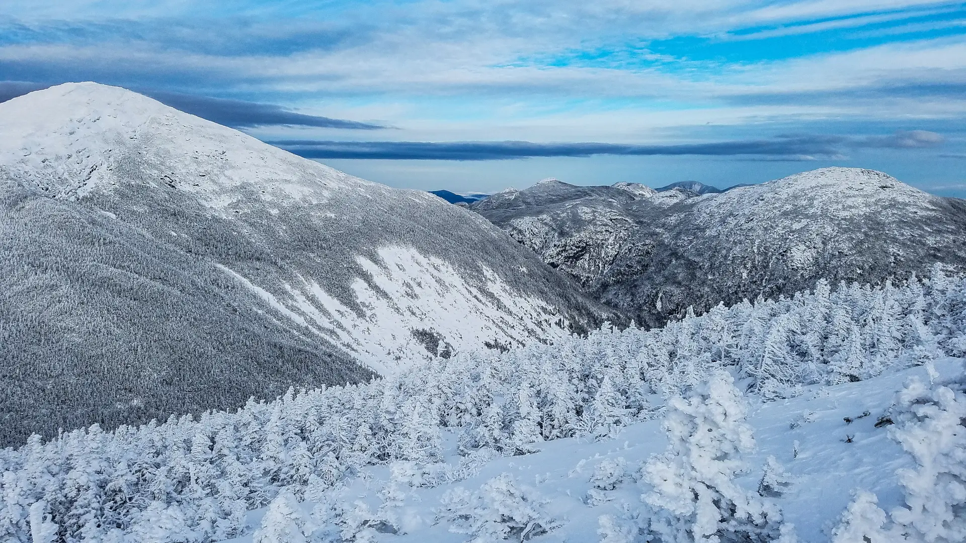
The route requires hikers climb Mount Marcy, then descend down the backside to Four Corners. Please consult a map and guideline for information on how to access Mount Marcy. From the summit of Marcy, you will descend off the south side toward Four Corners. The descent is short, but steep. It is 0.8 miles to the intersection; head straight across to access Mount Skylight. It is about 0.5 miles to the top of Mount Skylight from Four Corners. Once you summit, you'll return down to Four Corners, then have the option to go back the way you came over Mount Marcy, or add Gray Peak, then hike back to the HPIC via Lake Arnold.
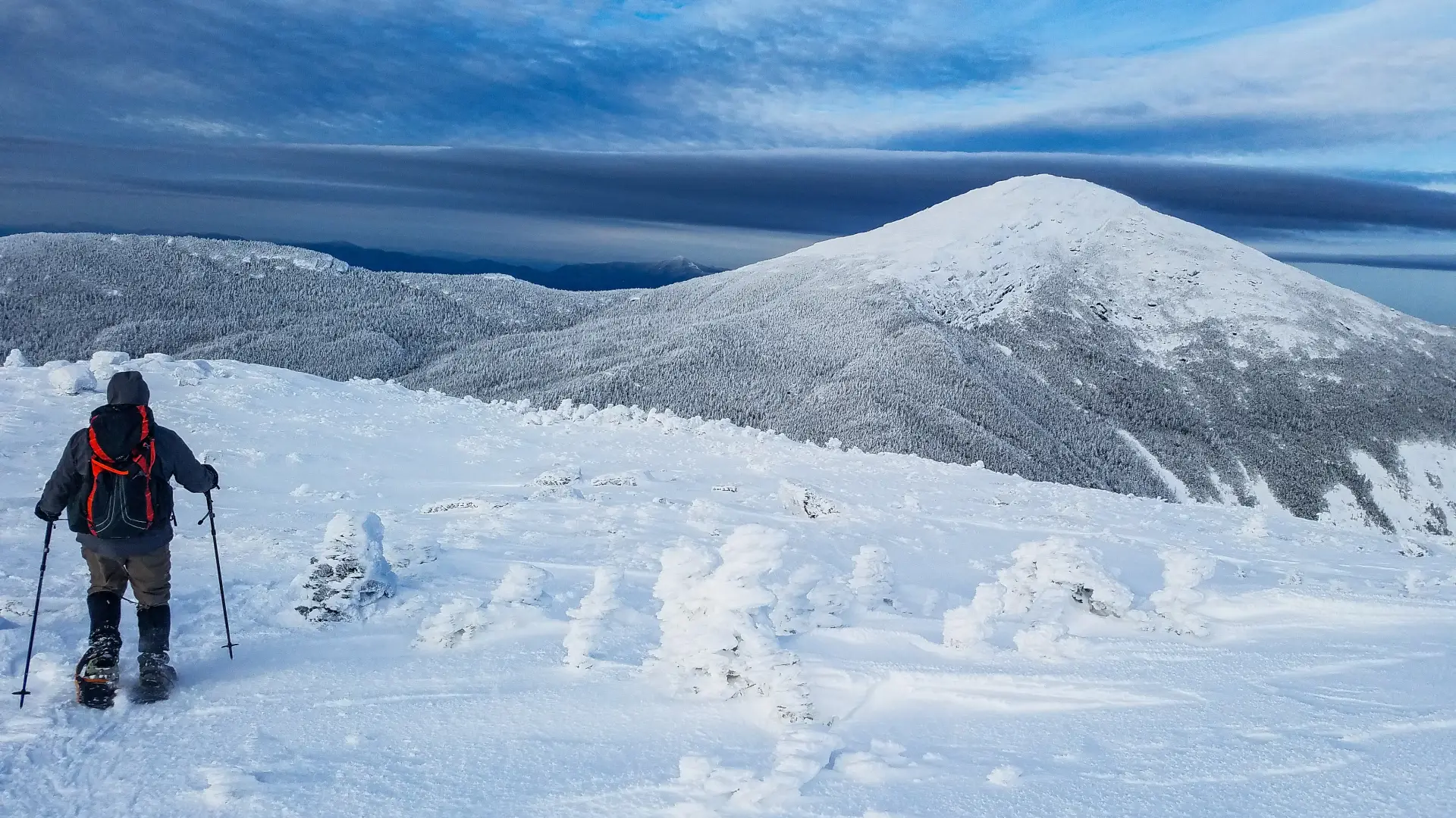
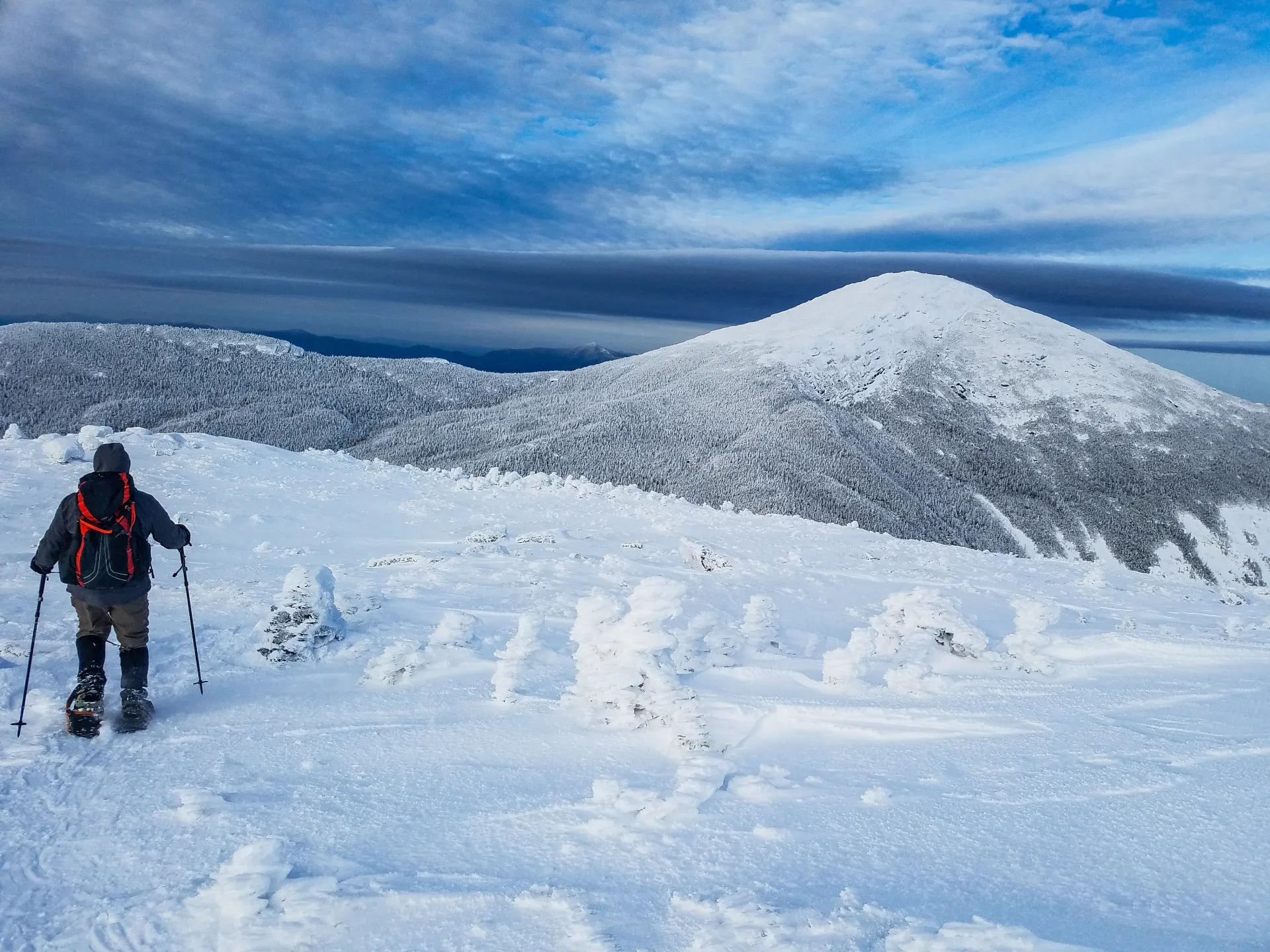
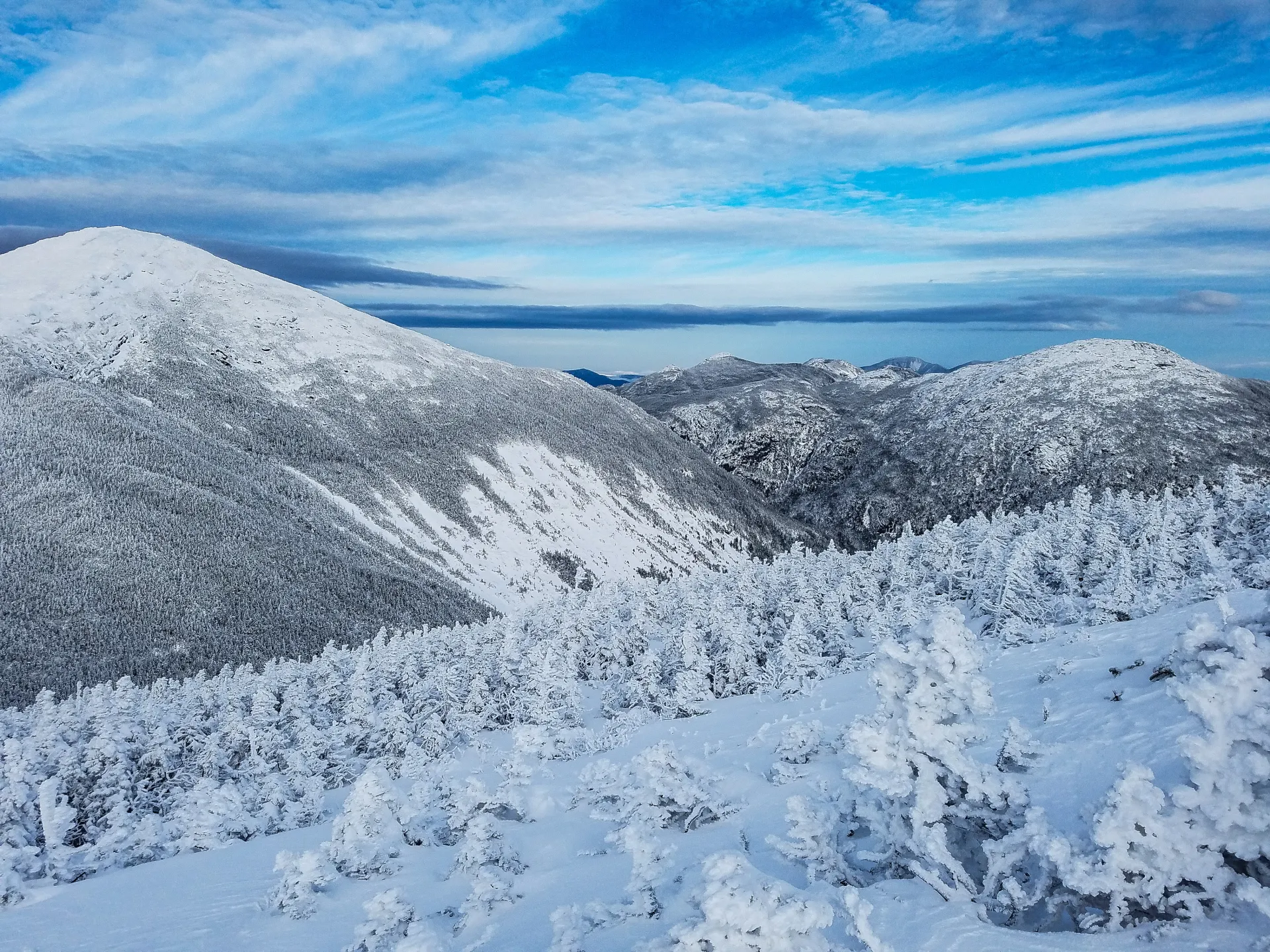
Mount Skylight in winter
Mount Skylight is a challenging mountain that should only be attempted by experienced hikers, especially in winter, so make sure you are prepared. Snowshoes are necessary, and snow spikes or crampons are needed to climb the exposed upper reaches of the peak. Plan on temperatures in the higher elevations being at least 20 degrees colder than at the trailhead, not including the windchill. Bring several extra non-cotton layers, a headlamp with spare batteries, extra food, a windbreaker, goggles, a face mask, and supplies for spending the night in case of an emergency. Mount Skylight has two main water crossings at Phelps and Marcy Brooks. These crossings can be especially dangerous during the beginning and end of winter. Always use caution at water crossings. Turning around is always an option.
Find your perfect trail near Lake Placid
Does Mount Skylight sound amazing, but a little more than you want to tackle right now? No need to stress, with over 2000 miles of hiking trails in the Adirondacks we are sure we can find the perfect hike for you.
How to get there
Leave Lake Placid on Route 73 and follow toward Keene. Continue for about 3 miles to Adirondack Loj Road on the right. Follow Adirondack Loj Road to its end at Heart Lake. A parking fee is required.
Emergency Information
Related Content

Ready to hike in the High Peaks? There is no set way for how to become a 46er, but there is a R.I.G.H.T. way.