- Out and Back
- Out and Back
- Out and Back
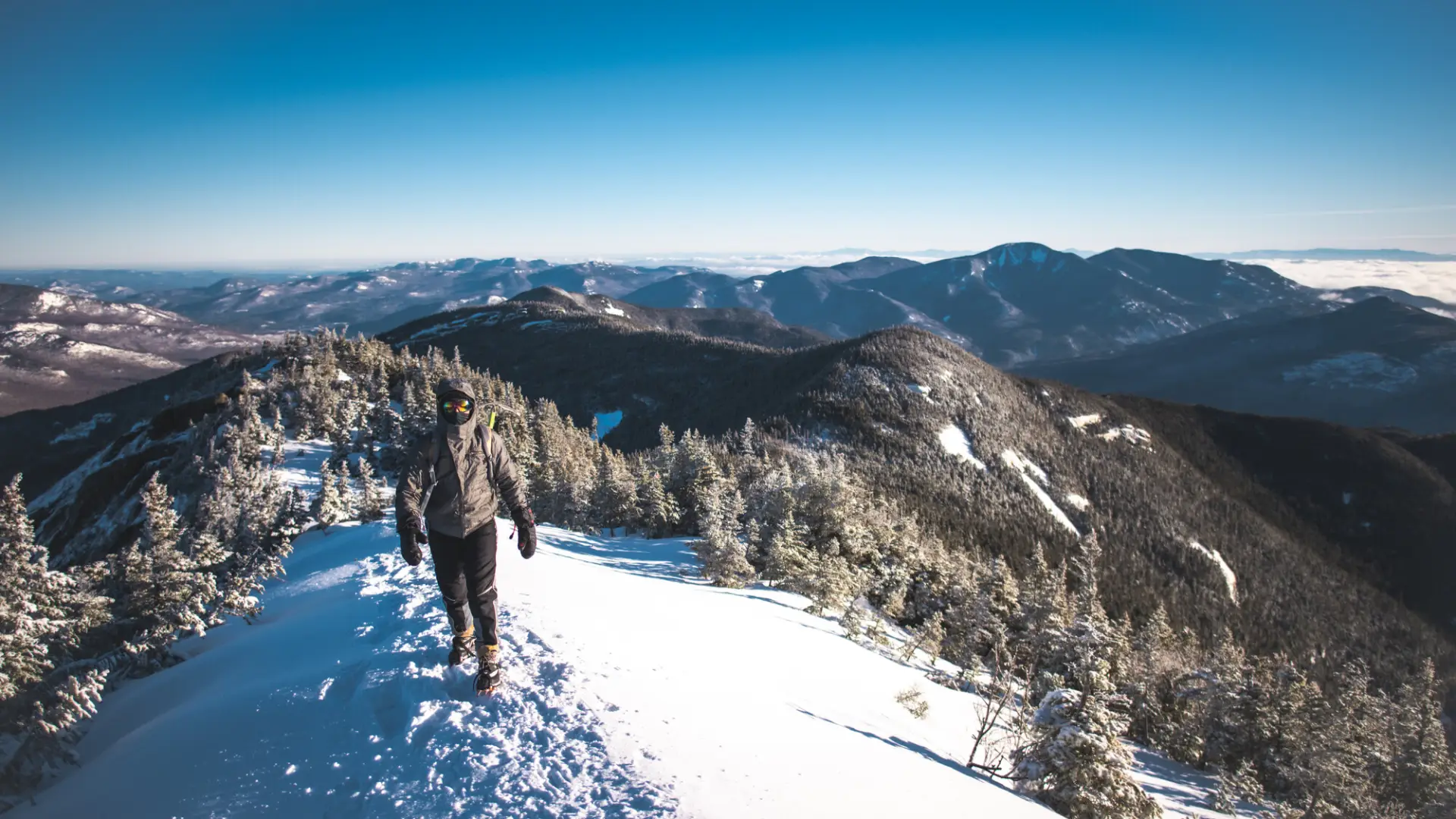
Hiking New York state’s 10th tallest mountain
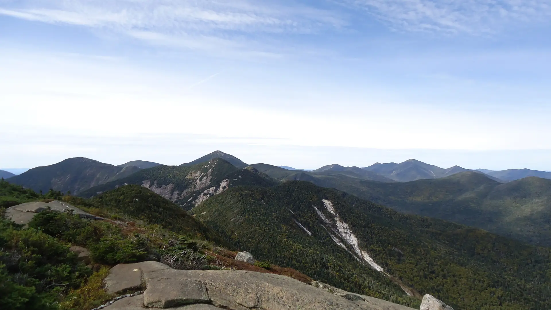
An ascent of Gothics Mountain, the 10th highest mountain in New York state, is a challenge. A successful day involves researching your route, physical fitness, the correct gear, and knowledge of Leave No Trace principles.
Key takeaways
- Distance: 11.4 miles round trip
- Elevation: 4,736 feet
- Elevation gain to summit: 3,600 feet
- Trail features steep rock slab and several junctions
- Based on an ascent from the Ausable Mountain Reserve (AMR)
Hiking Gothics Mountain
There are two main routes to the summit of Gothics described below. Of the two, an ascent from the AMR is more common, and should be your first choice if looking to avoid the steep, rocky sections on the approach from The Garden via the cable route.
From the AMR
This hike is accessed through a conservation easement with the Adirondack Mountain Reserve (AMR). A parking reservation is needed from May 1 - October 31. Although it is called a “parking reservation,” everyone will need a reservation to access hikes leaving from AMR, whether you drove yourself, rode a bike, got dropped-off, or walked. These reservations can be made online via the AMR website. For more information, please read these FAQs or contact the New York State Department of Environmental Conservation.
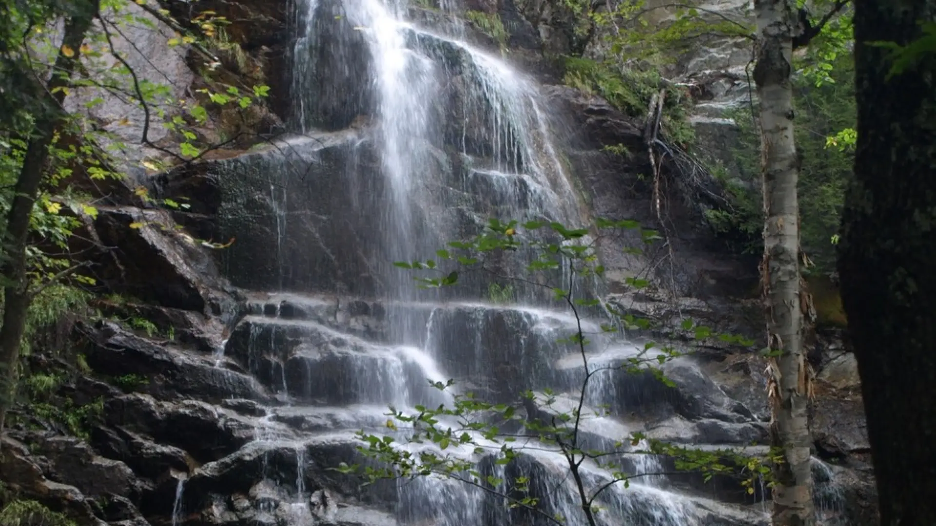
Walk for 0.5 miles from the parking area, and just before reaching the main club house, turn left and down between two tennis courts on Lake Road to get to the gate into the AMR. Be mindful and respectful of special regulations, this is private property. Pass through the gate and hike Lake Road for 2 miles to the Gothics trail on the right. This trail leads through the forest to a bridge over the Ausable River and then to the base of Beaver Meadow Falls.
The trail climbs steeply to the left of the falls via a ladder before easing off to a steady climb with a few steeper sections. After roughly 2 miles of steady uphill from the Lake Road, the climb becomes very steep before four small ladders allow a descent to a junction with the Range Trail. Armstrong is to your right and Gothics to the left. Follow left up the spine of the ridge.
Climbing Gothics from the AMR allows for a possible loop trip with a return via Pyramid Peak. This slightly longer return is found by continuing 200 yards past the summit and going left. For more information on this loop, contact an area information center.
From the Garden
This is a 6.4 mile hike, one way, that ascends 3,400 feet of elevation to the summit. Be aware, this hike should only be done by experienced High Peak hikers who are comfortable with exposure. From the Garden parking area (fee), the trail is mostly flat with gentle climbs past an intersection with the Southside Trail at 0.5 miles. Continuing straight you will be hiking along a portion of rolling hills until you drop steeply into Johns Brook Valley with a trail register at the junction. Johns Brook Lodge is to the right, but the most direct route to Gothics goes left past the DEC Interior Outpost to a bridge over Johns Brook. Turn right immediately after the bridge and begin a steady ascent along Orebed Brook.
Going straight through a five-way intersection, the Ore Bed Trail continues at a moderate grade for another mile, but steepens after a second brook crossing, and continues to a long series of wooden stairs. The top of the Ore Bed Trail leaves you between Gothics (left) and Saddleback (right). Head left up the Cable Route. The Cable Route is a very steep and exposed climb where a coated cable attached to the rock slab aids one's ascent. If you have issues with exposure, you might want to choose an alternate route. This route will bring you first to the west summit of Gothics, and then to the true summit slightly further away.
Gothics Mountain in the winter
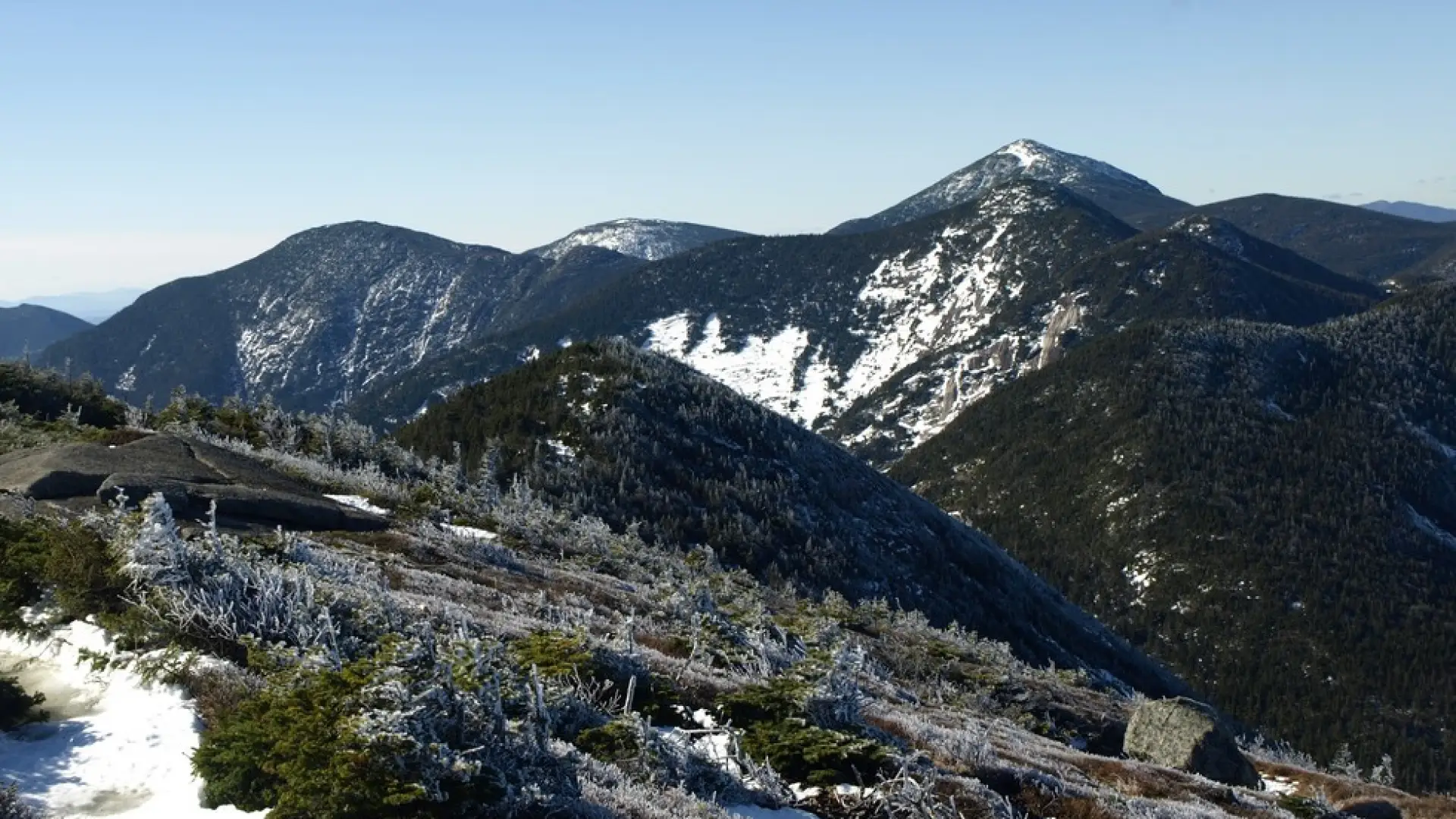
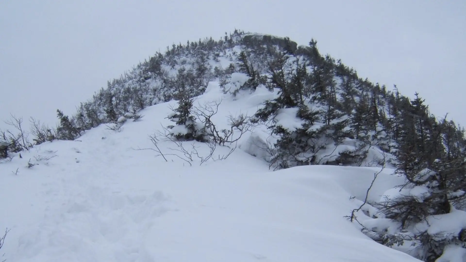
Gothics in the winter is a serious endeavor that should only be attempted with prior winter hiking experience. Snowshoes are required, and microspikes are highly recommended for the steep upper reaches of the mountain so don’t leave home without them. The open stretches along the Cable Route are particularly hazardous when icy and should only be attempted by hikers with proper gear (crampons) and with experience on steep, open, icy routes. This is especially important on the descent. Expect a significant drop in temperature as elevation is gained, and be prepared for strong winds on the open summit ledge. Always bring extra layers, and don't hesitate to turn around if the weather starts to turn.
Find your perfect trail near Keene Valley
Does Gothics sound amazing, but a little more than you want to tackle right now? No need to stress, with over 2000 miles of hiking trails in the Adirondacks we are sure we can find the perfect hike for you.
How to get there
AMR: Leave Lake Placid on Route 73, follow Route 73 through Keene and Keene Valley and into Saint Huberts. Parking is across the road from the Roaring Brook Falls Trailhead for Giant Mountain. This approach is on private land of the Adirondack Mountain Reserve (AMR). Dogs are prohibited. (If you do want to take your dog, use the secondary trailhead from the Garden.) This hike is accessed through a conservation easement with the Adirondack Mountain Reserve (AMR). A parking reservation is needed from May 1 - October 31. Although it is called a “parking reservation,” everyone will need a reservation to access hikes leaving from AMR, whether you drove yourself, rode a bike, got dropped-off, or walked. These reservations can be made online via the AMR website. For more information, please read these FAQs or contact the New York State Department of Environmental Conservation.
The Garden: Leave Lake Placid on Route 73, continue through Keene and into Keene Valley and turn right at the sign for the High Peaks at the Ausable Inn and follow Adirondack St. to Johns Brook Lane. It is 1.6 miles from Rt. 73 to the Garden with the last 0.2 miles on a narrow dirt road.
