- Out and Back
- Out and Back
- Out and Back


About
Hiking to Pyramid Peak from the Adirondack Mountain Reserve
Pyramid is over 4000’ in elevation, but because of its proximity to Gothics it isn’t an official 46er High Peak. The hike up is a challenging ascent, and requires significant route research, physical fitness, and knowledge of Leave No Trace principles.
SPECIAL INFORMATION
This hike is accessed through a conservation easement with the Adirondack Mountain Reserve (AMR). A parking reservation is needed from May 1 - October 31. Although it is called a “parking reservation,” everyone will need a reservation to access hikes leaving from AMR, whether you drove yourself, rode a bike, got dropped-off, or walked. These reservations can be made online via the AMR website. For more information, please read these FAQs or contact the New York State Department of Environmental Conservation.
Key takeaways
- Distance: 12.2 miles round trip
- Elevation gain: 3,550 feet
- Hike includes steep terrain, an exposed summit, and several trail junctions
- No dogs allowed on the Adirondack Mountain Reserve (AMR)
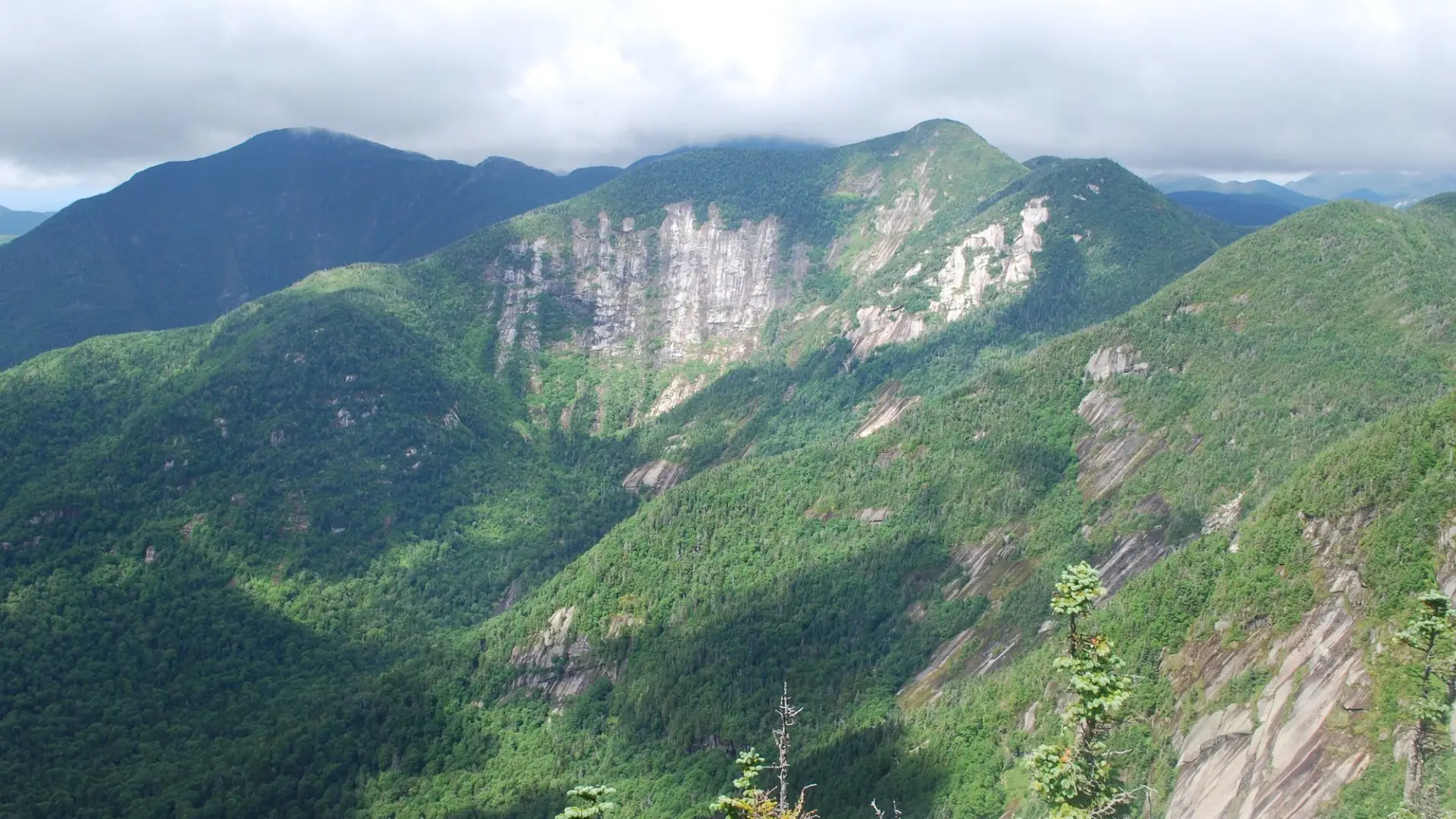
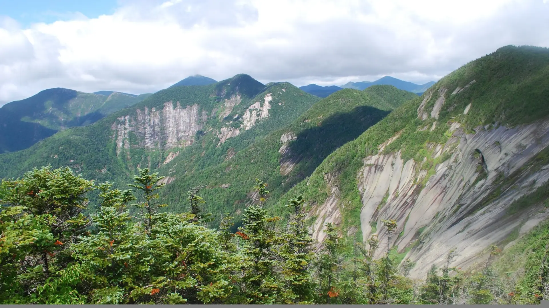
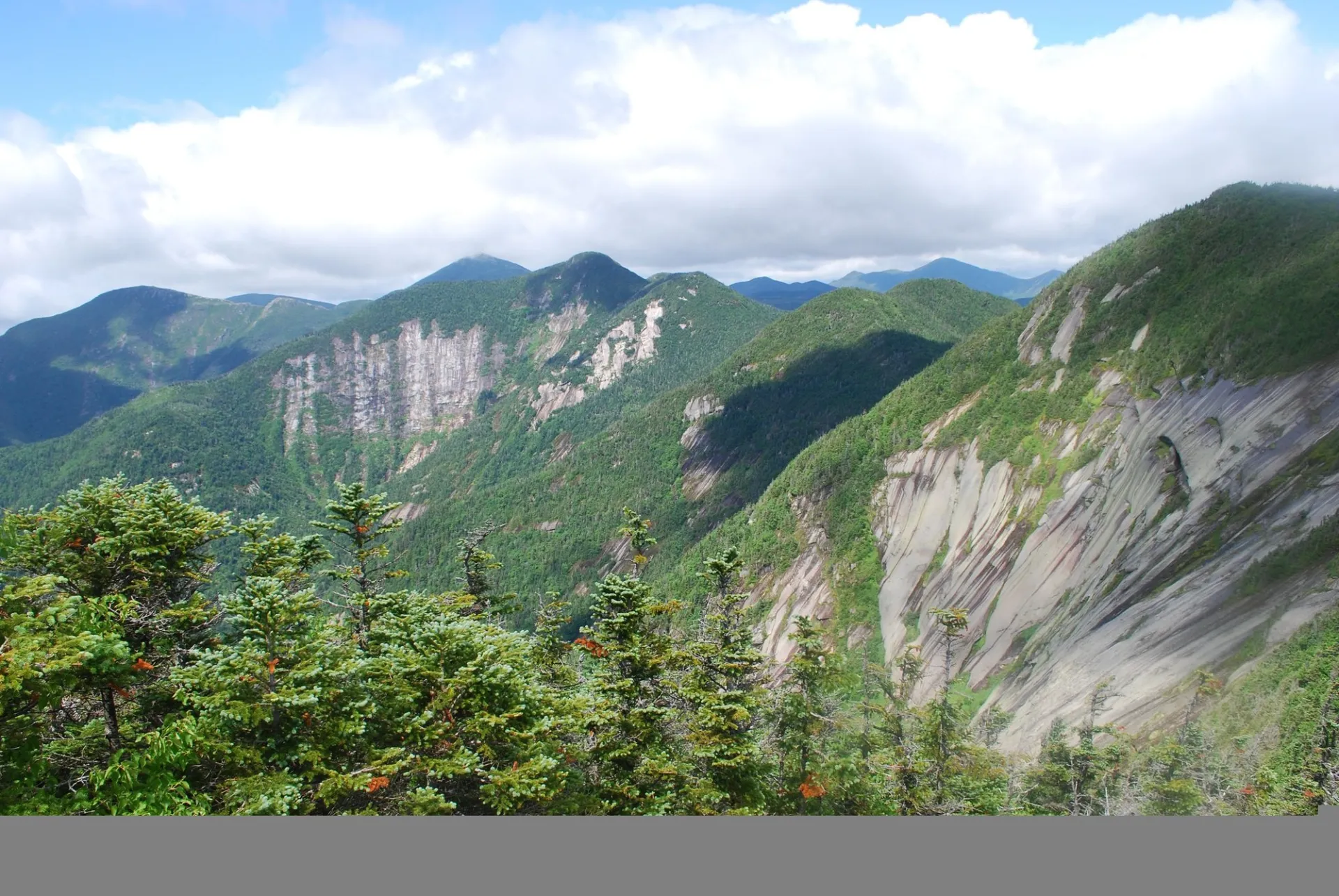
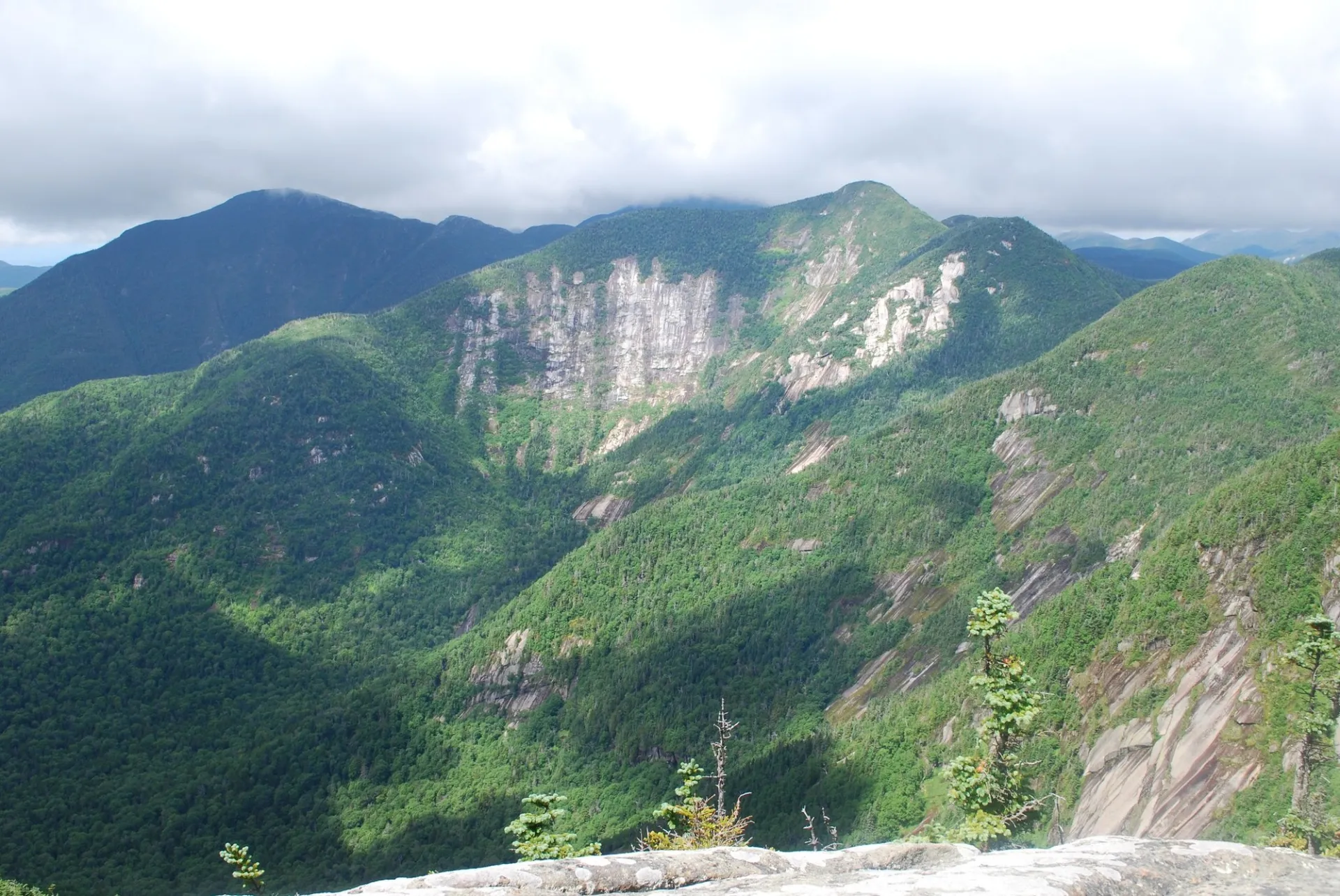
Hiking Pyramid Peak
Below is a description for the shortest route to Pyramid Peak, but it can be approached from Gothics and can be part of many other loop trips incorporating other nearby peaks.
From the parking lot, you will follow the road up and then along a golf course. At 0.5 miles from the parking area, turn left and down between two tennis courts on Lake Road to get to the gate into the AMR. The AMR is private property, be mindful of the specific rules posted at the gate. After the gate, you will need to hike the dirt road for a bit over 3.0 miles to Lower Ausable Lake. The road climbs steadily to the dam at the lower end of the lake. At the dam, cross it and obtain the foot path to Gothics on your left. Just past the dam you will come first to a junction with the Scenic Trail to Sawteeth going left and then to a short side trail to Rainbow Falls on the right. Continue past the Rainbow Falls junction on the Weld Trail, where the trail starts a steady moderate to steep climb. You’ll reach a viewpoint of Rainbow Fall on your right. After this, continue for another 1.5 miles of moderate to steep climbing to an intersection with a trail left to Sawteeth and right to Pyramid Peak and Gothics. From this point it is roughly 0.6 miles to the summit of Pyramid, but it is very steep in sections.
Pyramid Peak in the winter
Pyramid Peak is challenging in the winter, with steep areas turning dangerous when snow is deep or ice is present. Tackling Pyramid Peak requires extensive winter hiking experience, proper gear, along with snowshoes and microspikes. Winter conditions change fast, and turning around is always an option.
Find your perfect trail in the Keene Valley area
Does Pyramid Peak sound phenomenal, but a little more than you want to tackle right now? No need to stress, with over 2000 miles of hiking trails in the Adirondacks we are sure we can find the perfect hike for you.
How to get there
Leave Lake Placid on Route 73, follow Route 73 toward Keene. Continue through Keene and Keene Valley. Continue to the trailhead for the AMR on the right, directly across the road from the Roaring Brook Falls Trail to Giant Mountain. This is approximately 3.0 miles from the outskirts of Keene Valley.
Emergency Information
Related Content

Lake Placid, NY is home to short hikes, moderate hikes, and longer hikes, making us the perfect hiking destination for any hiker! Read these hiking safety and etiquette tips that will keep you safe and happy on the trails this summer!