- Out and Back
- Out and Back
- Out and Back


About
Hiking New York's 19th tallest peak
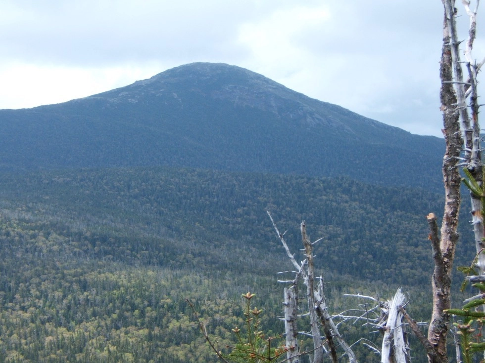
Tabletop Mountain is the 19th highest of the Adirondack 46 High Peaks. It is a serious hike that requires preparation. A successful hike of Tabletop involves research, physical fitness, the right gear, and knowledge of Leave No Trace principles.
Key takeaways
- Elevation: 4,427 feet
- Elevation gain: 2,530 feet
- Distance: 9.5 miles, round trip
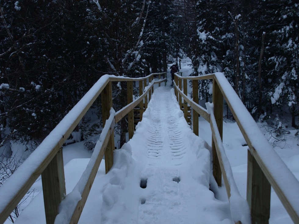
- Hike includes trail junctions, unmarked trail, and bridges
Hiking Tabletop Mountain
This hike starts from the Adirondack Loj and follows a highly traveled route to Marcy Dam. From here it continues along a scenic trail following Phelps Brook toward Mount Marcy. The trail passes by the Phelps Trail, which is a short but steep 1 mile hike to another High Peak. You will approach a height-of-land, and at 4 miles in the herd path for Tabletop will be on your left, about 0.1 miles before Indian Falls. From the turn onto the herd path, it is about 0.7 miles to the summit.
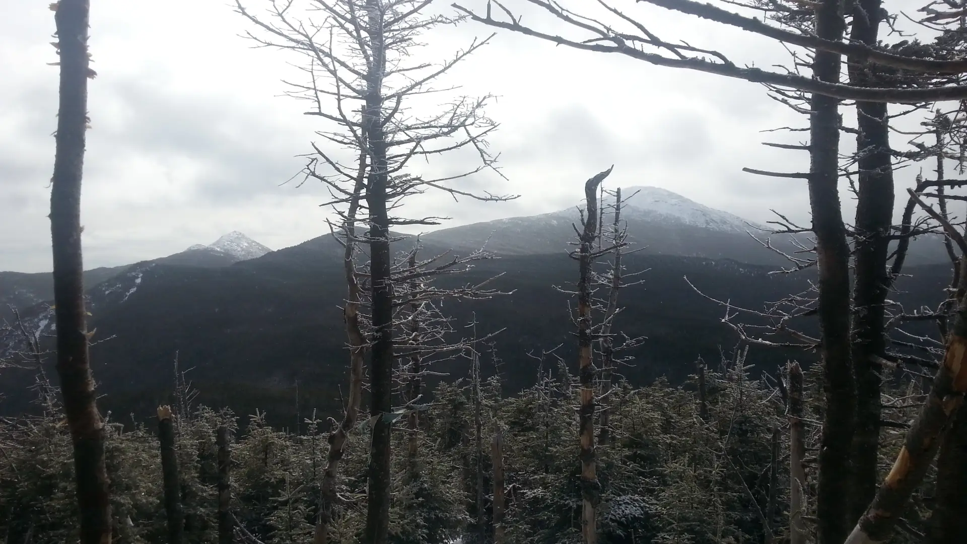
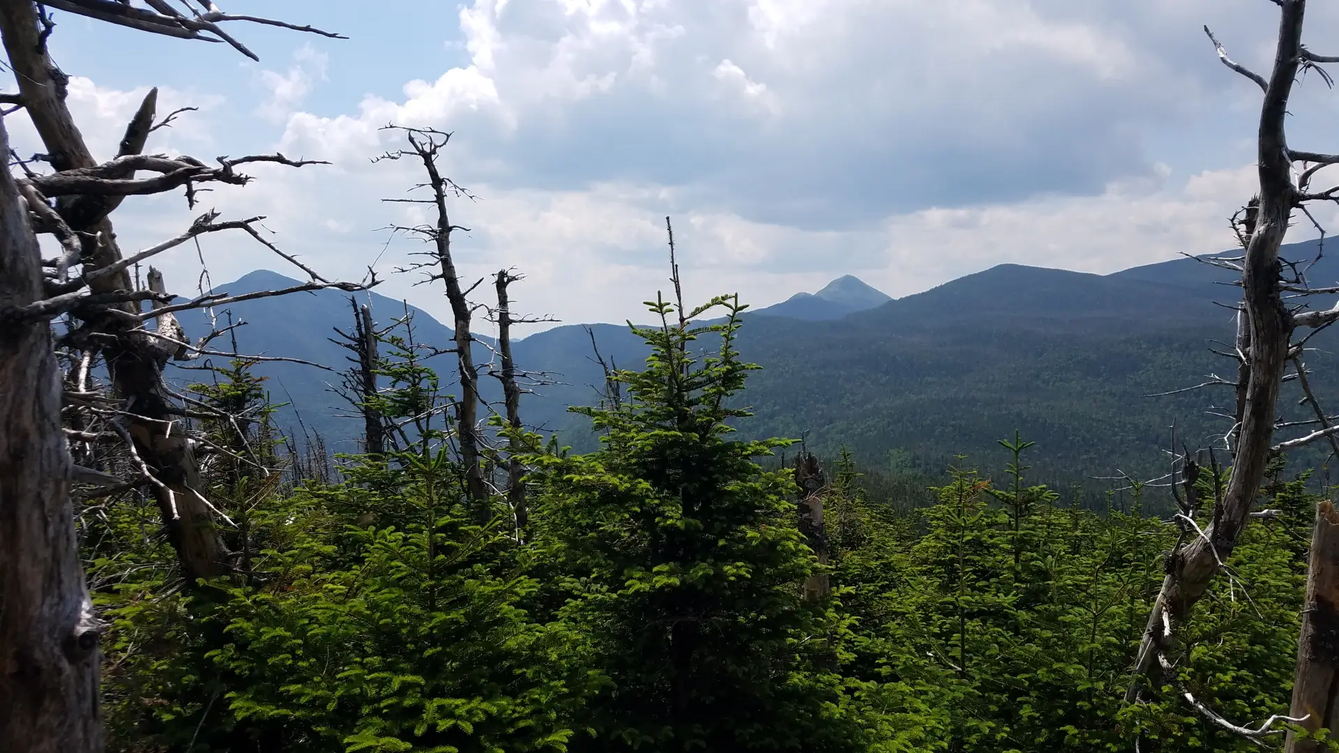
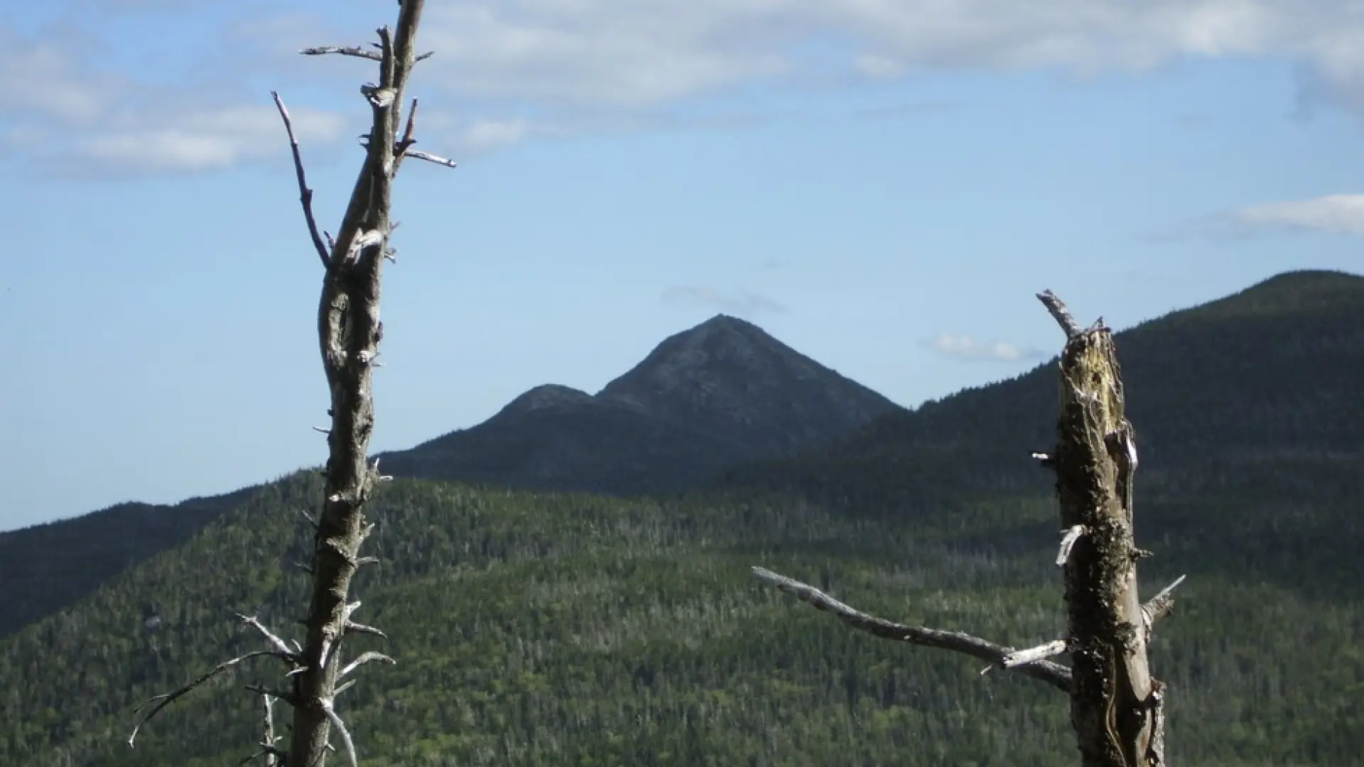
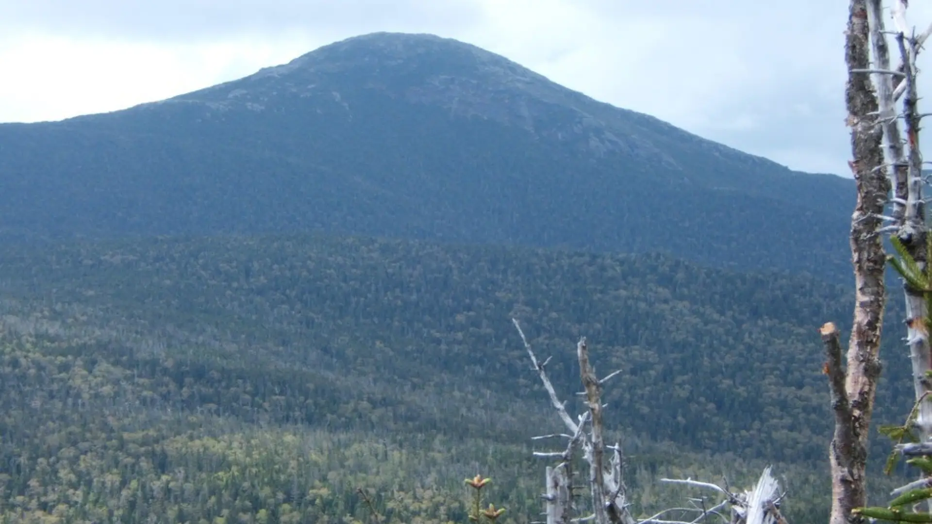
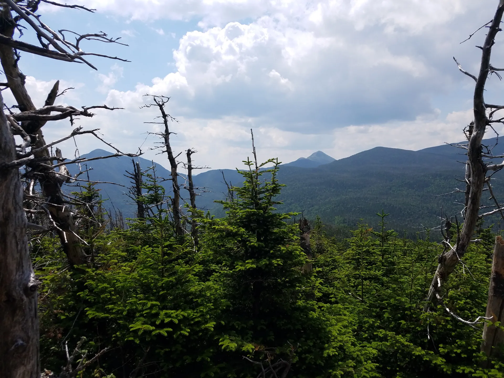
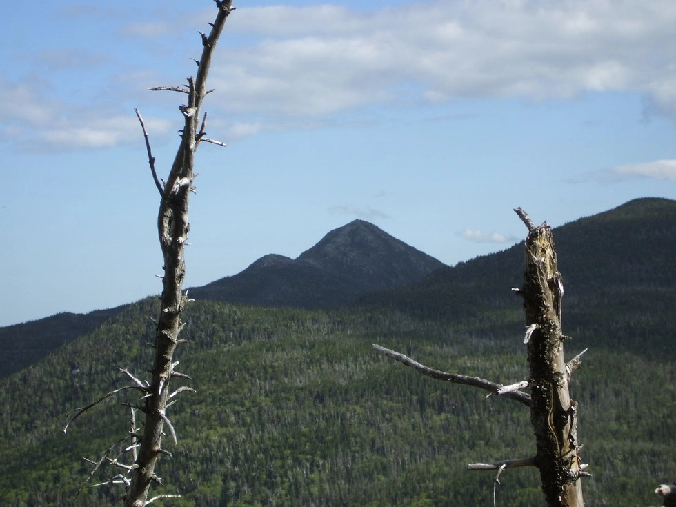
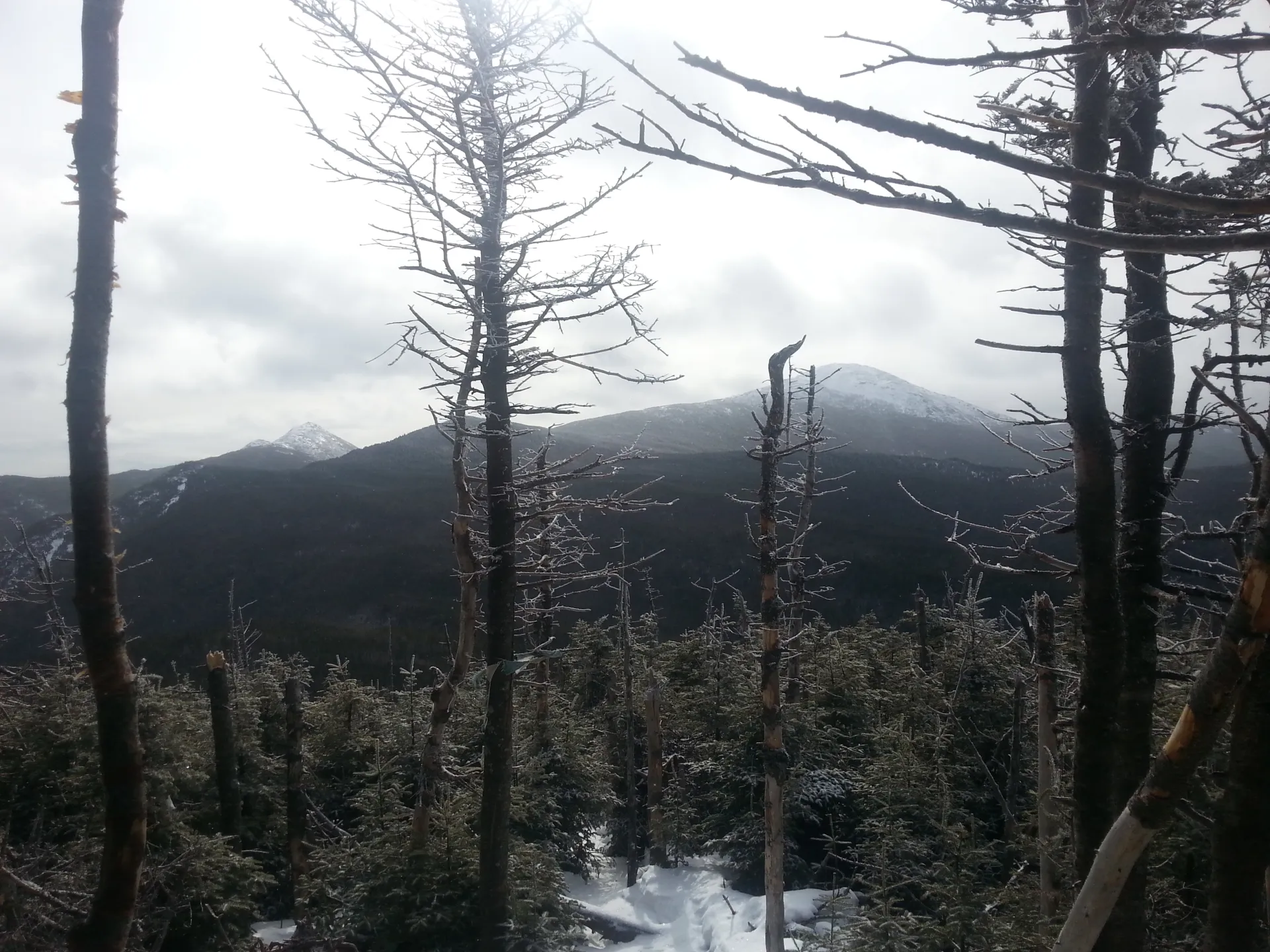
The herd-path has a trail sign marking its location. It is very narrow in areas, heavily eroded, and has running water during most months of the year. The summit is totally wooded, but located just beyond the signed summit are open views of the Great Range.
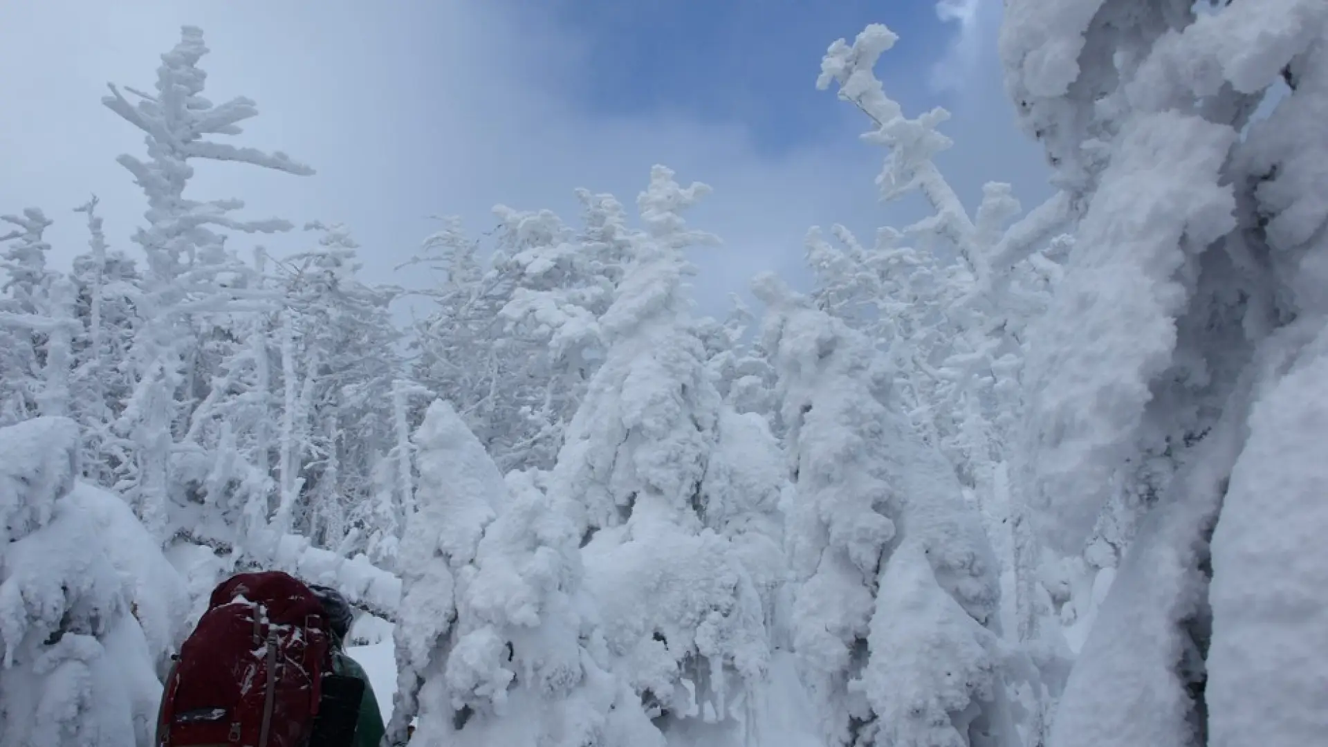
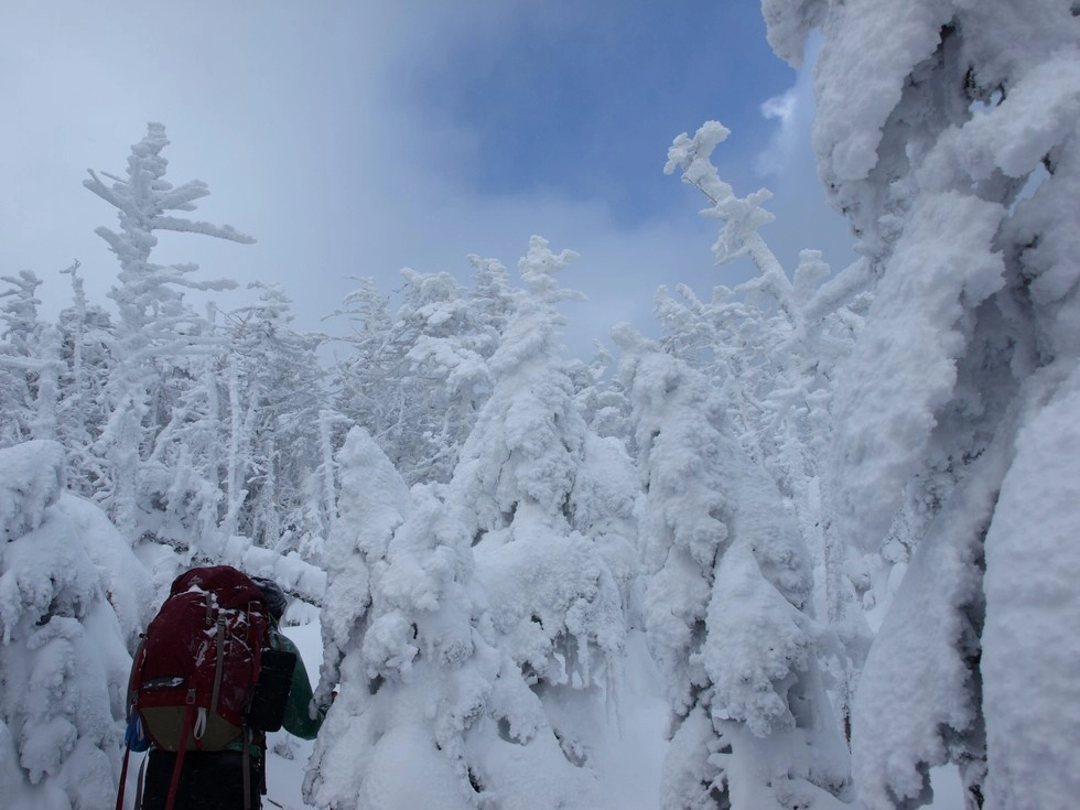
Tabletop in the winter
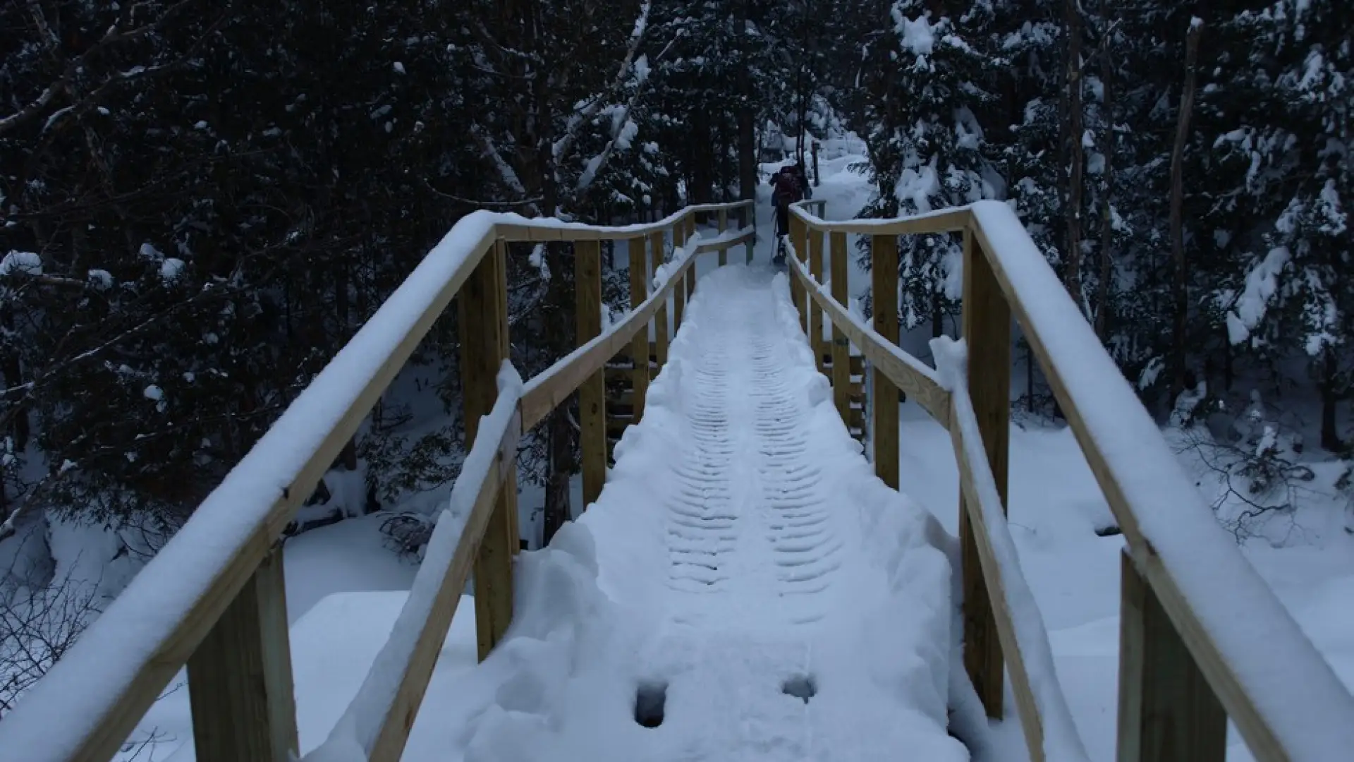
Tabletop is a challenging mountain that should only be attempted by experienced hikers, especially in winter, so make sure you are prepared. Snowshoes are necessary, and microspikes are needed to climb the upper parts of the peak. Plan on temperatures in the higher elevations being at least 20 degrees colder than at the trailhead, not including the windchill. Bring several extra non-cotton layers, a headlamp with spare batteries, extra food, a windbreaker, goggles, a face mask, and supplies for spending the night in case of an emergency. Tabletop has two main water crossings at Phelps and Marcy Brooks. These crossings can be especially dangerous during the beginning and end of winter. Always use caution at water crossings. Turning around is always an option.
Find your perfect trail near Lake Placid
Does Tabletop sound amazing, but a little more than you want to tackle right now? No need to stress, with over 2000 miles of hiking trails in the Adirondacks we are sure we can find the perfect hike for you.
How to get there
From the intersection of Route 73 and Route 86 in Lake Placid follow Route 73 toward Keene. Continue for just over 3-miles to Adirondack Loj Road on the right. Follow here to the end at Heart Lake and the Adirondack Loj. There is a parking fee.
Emergency Information
Related Content

Ready to hike in the High Peaks? There is no set way for how to become a 46er, but there is a R.I.G.H.T. way.