- Out and Back
- Out and Back
- Out and Back


About
Hiking New York's 32nd highest peak
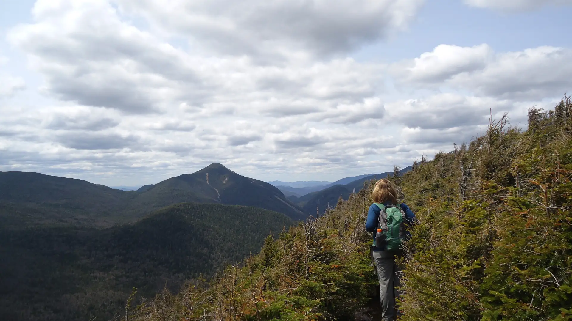
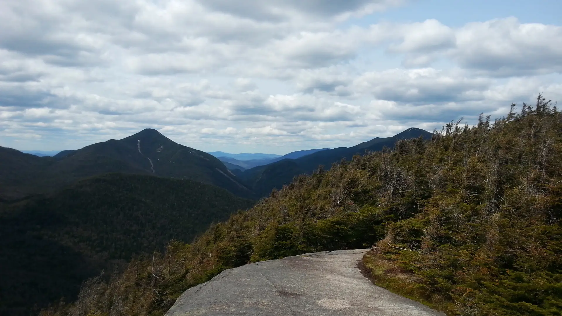
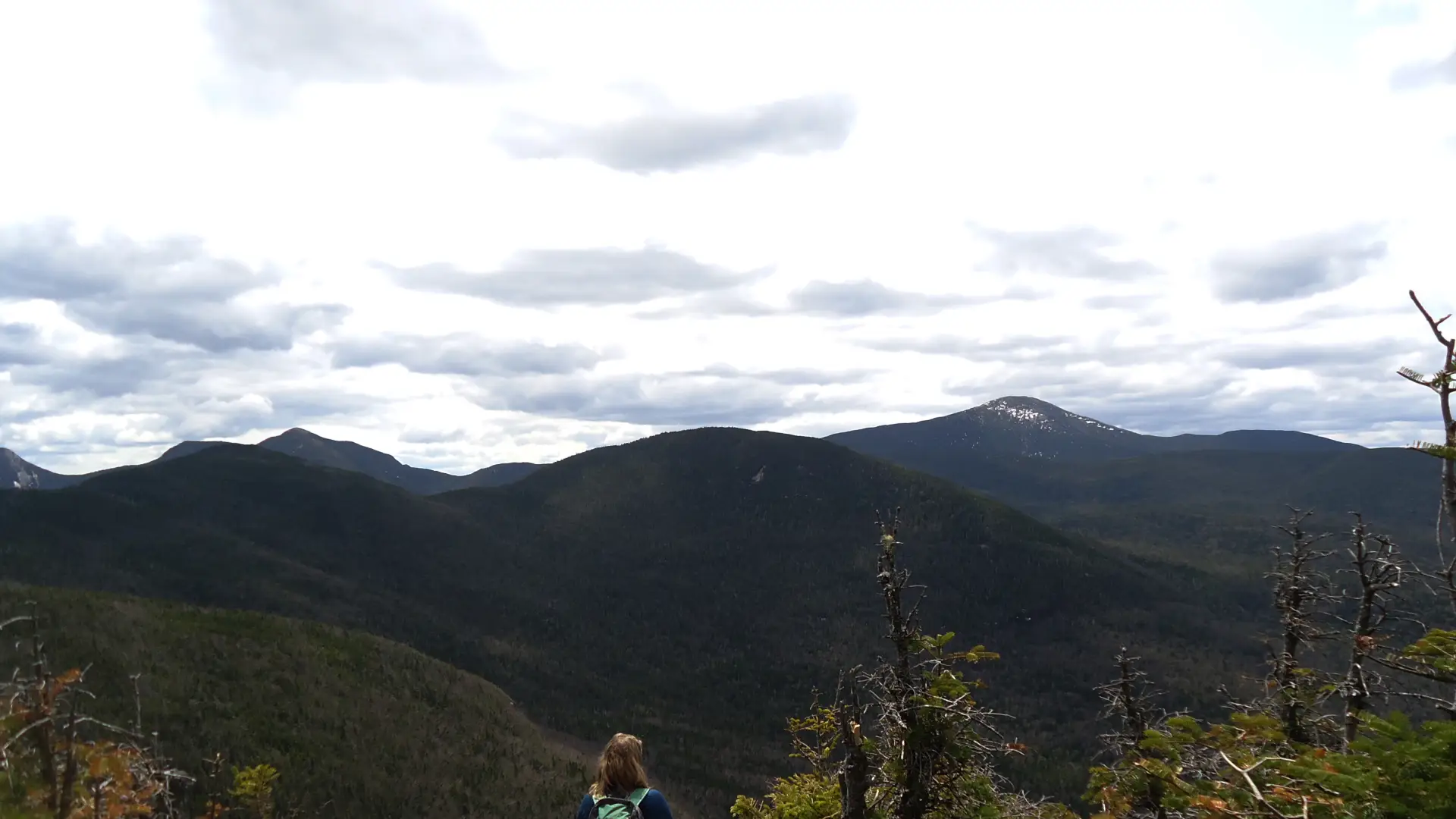
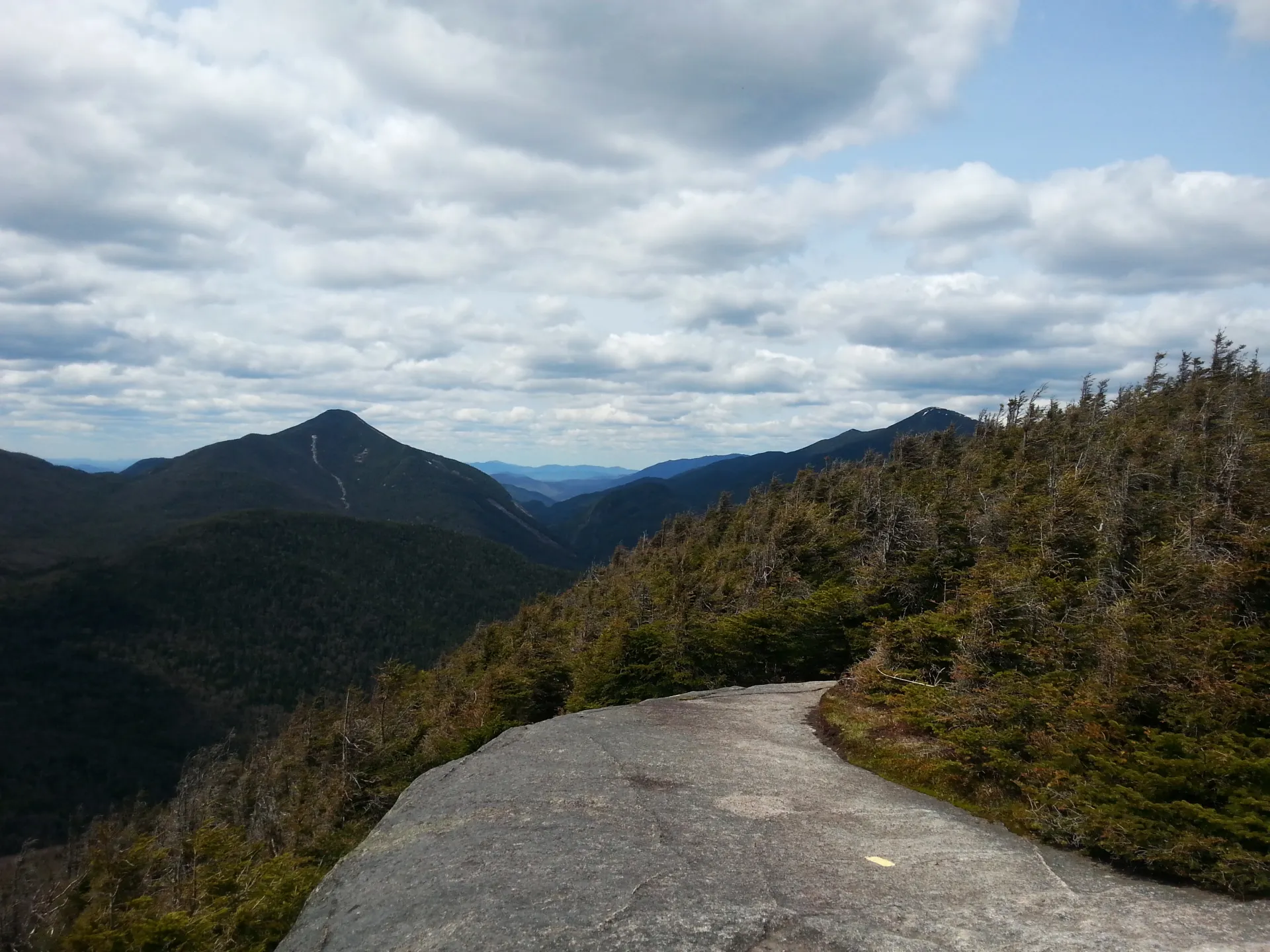
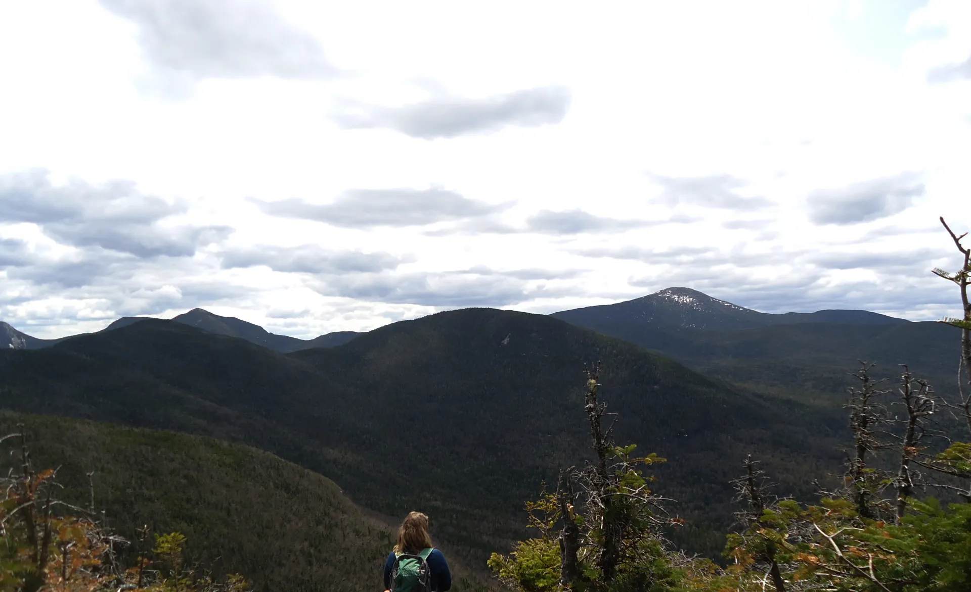
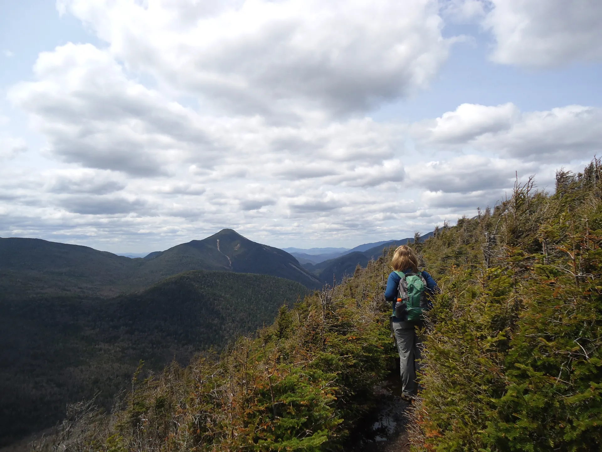
Phelps was named after Orson Schofield Phelps ("Old Mountain" Phelps) who cut the very first trail up neighboring Mount Marcy. The view from Phelps is dominated by Mount Marcy. Hikers should keep in mind that even though this trail is shorter on milage compared to other High Peaks, it's still very demanding.
Key takeaways
- Distance: 8.4 miles, round trip
- Elevation: 4,161 feet
- Elevation gain: 2,275 feet
- Hike includes trail junctions, bridges, and an exposed summit
Hiking Phelps Mountain
The hike starts from the Adirondak Loj at Heart Lake and follows a highly used trail to Marcy Dam. From this point, the hike continues to follow the Van Hoevenburg Trail to Mount Marcy before heading east on the Phelps Mountain trail at a junction 1.0 mile from Marcy Dam.
The Phelps Mountain trail is quite steep. You will have outstanding views as you approach 4000’ feet in elevation. Don’t stop at the viewing rock, this is not the true summit; the summit is located through the trees and at a large viewing shelf that overlooks many of the High Peaks.
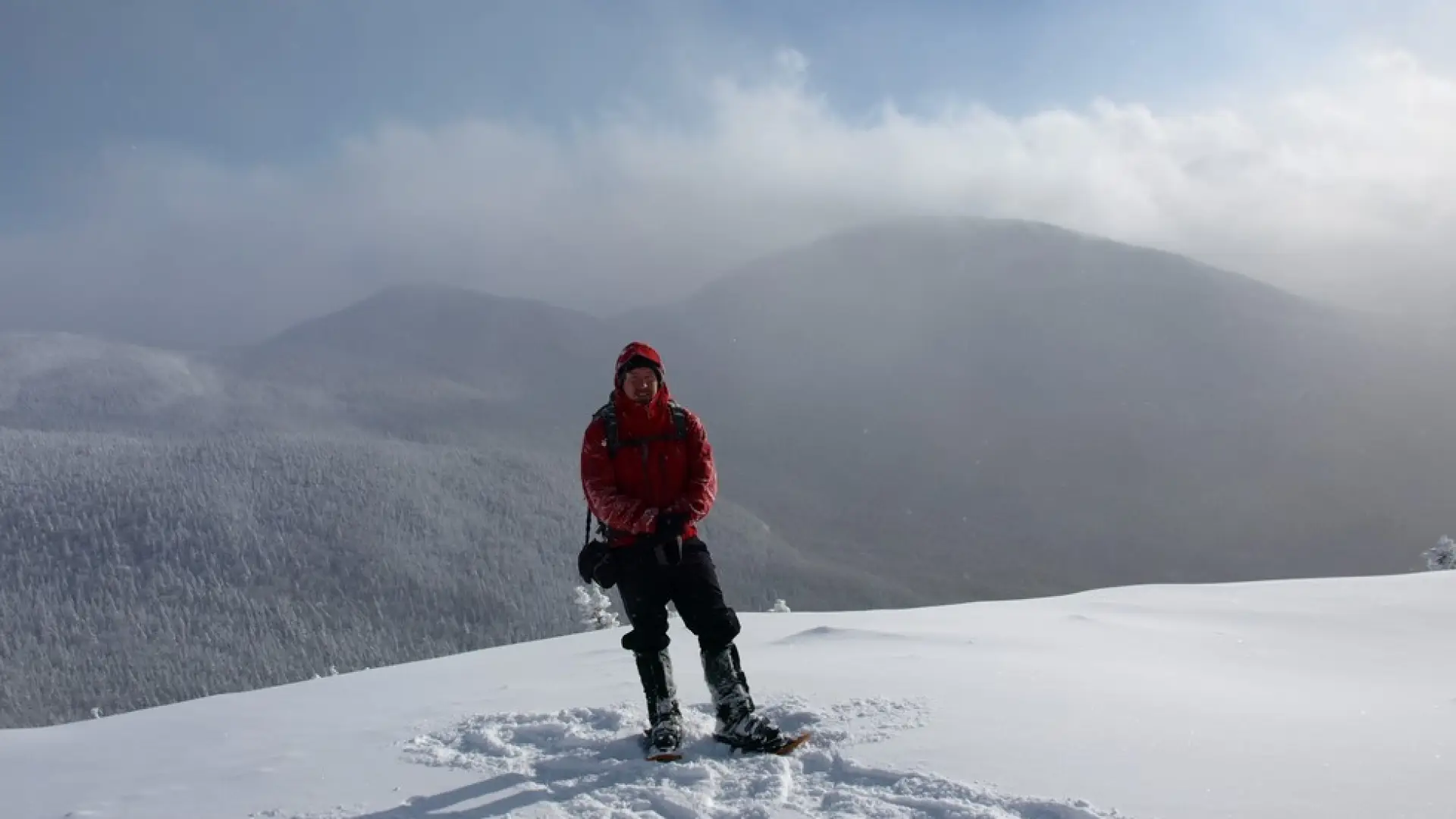
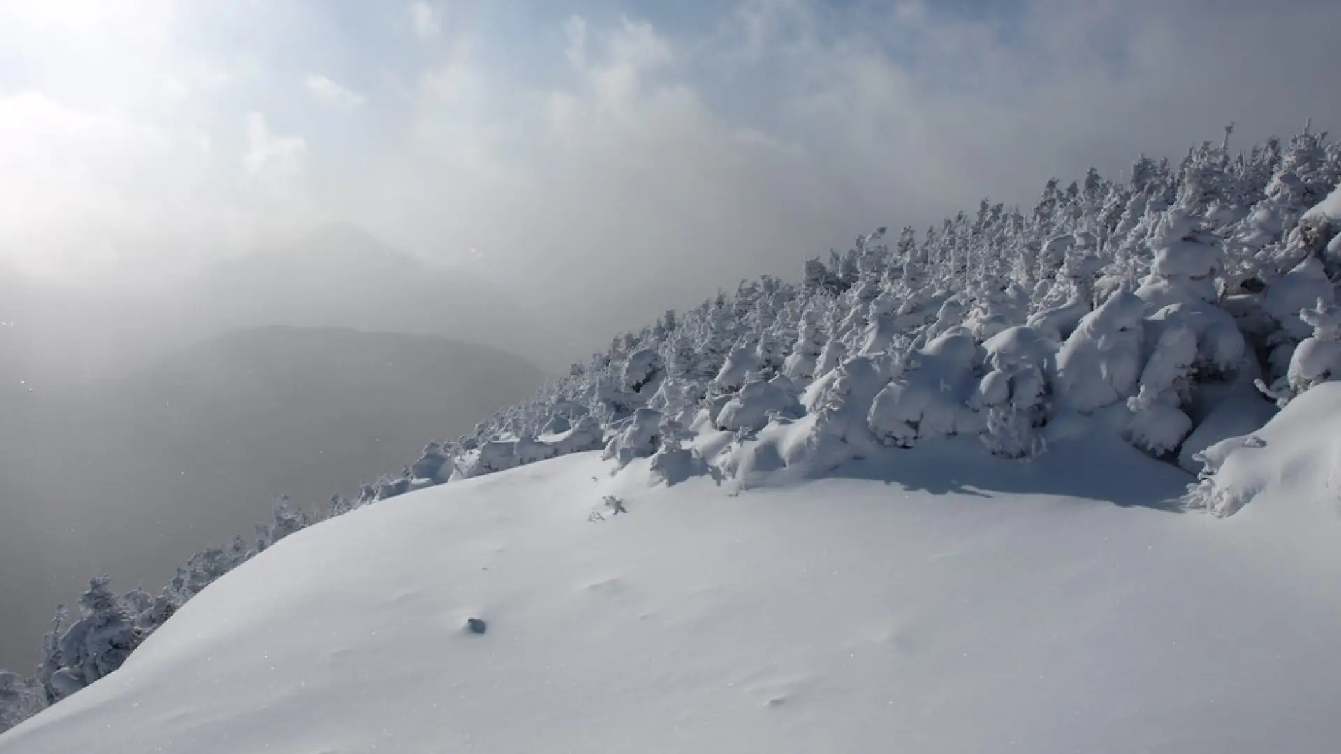
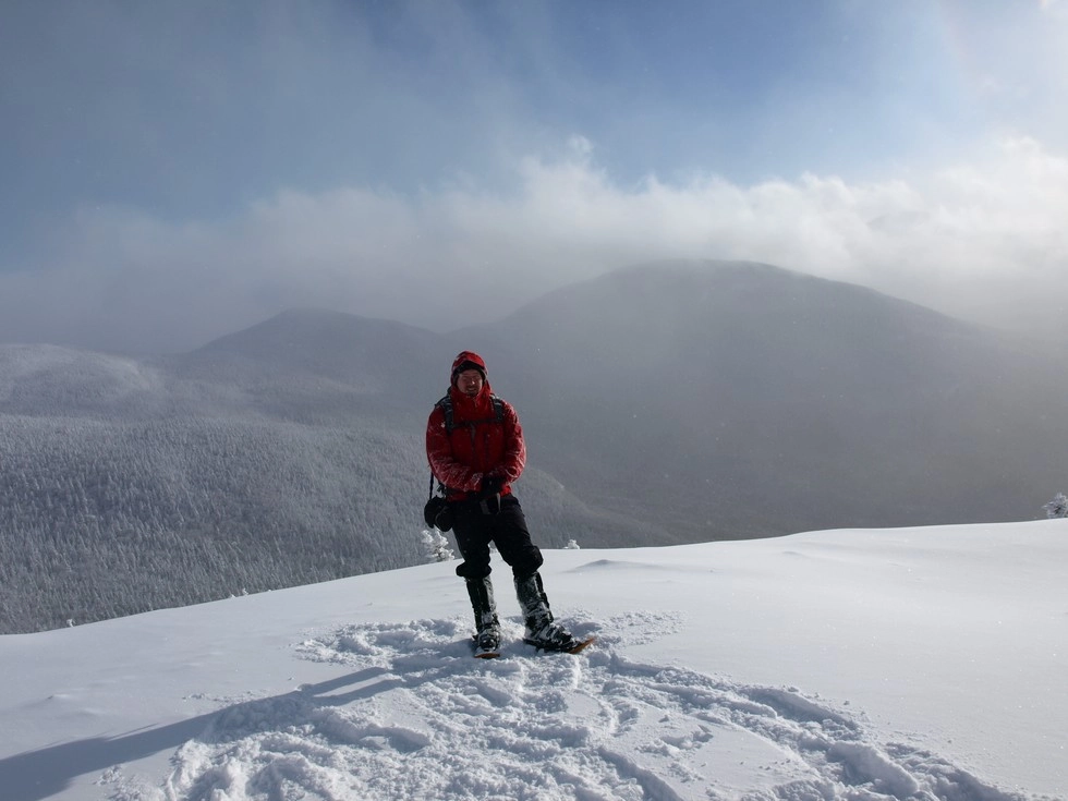
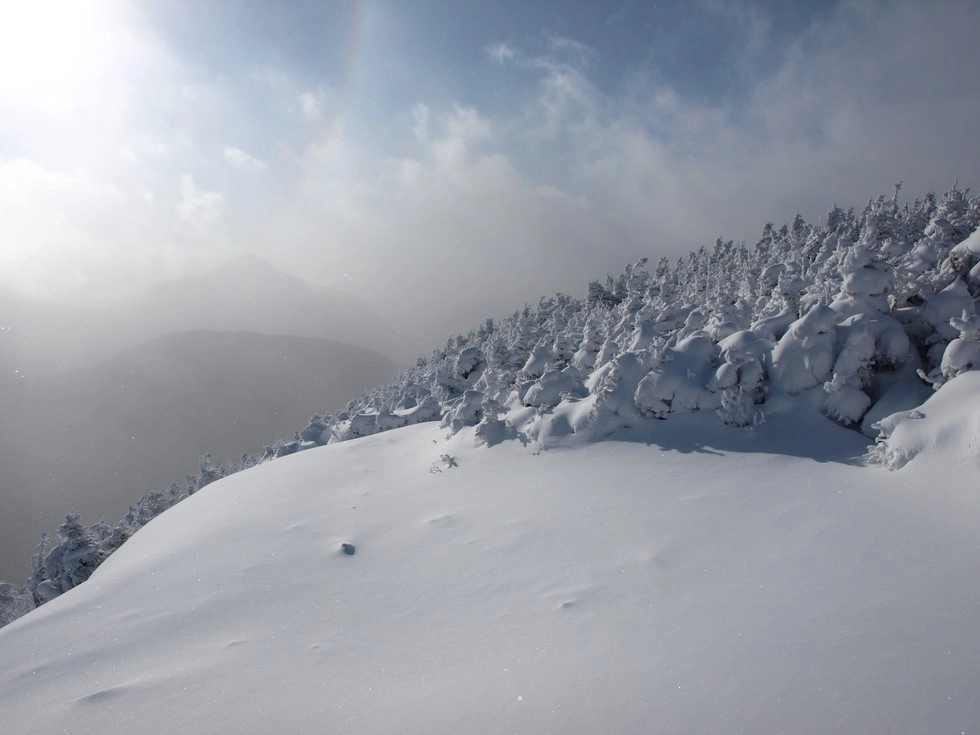
Phelps Mountain in the winter
Phelps Mountain is a challenging mountain that should only be attempted by experienced hikers, especially in winter, so make sure you are prepared. Snowshoes are necessary, and microspikes are needed to climb the upper parts of the peak. Plan on temperatures in the higher elevations being at least 20 degrees colder than at the trailhead, not including the windchill. Bring several extra non-cotton layers, a headlamp with spare batteries, extra food, a windbreaker, goggles, a face mask, and supplies for spending the night in case of an emergency.
Find your perfect trail near Lake Placid
Does Phelps sound amazing, but a little more than you want to tackle right now? No need to stress, with over 2000 miles of hiking trails in the Adirondacks we are sure we can find the perfect hike for you.
How to get there
From the intersection of Route 73 and Route 86 in Lake Placid follow Route 73 toward Keene. Continue for just over 3-miles to Adirondack Loj Road on the right. Follow here to the end at Heart Lake and the Adirondack Loj. There is paid parking ($10 as of 2013) at the gate.
Emergency Information
Related Content

Ready to hike in the High Peaks? There is no set way for how to become a 46er, but there is a R.I.G.H.T. way.