- Out and Back
- Out and Back
- Out and Back


About
Hiking New York state’s 5th tallest peak
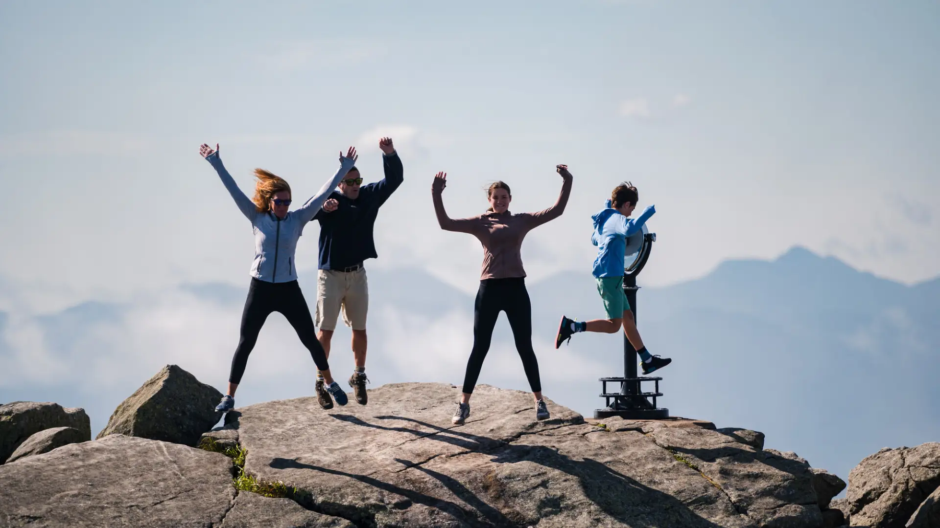
Whiteface Mountain is the state’s 5th highest peak, and requires a strenuous hike to reach its summit. A successful hike of Whiteface Mountain involves research, physical fitness, the right gear, and knowledge of Leave No Trace principles.
Key takeaways
- Distance: 7.2 miles round trip
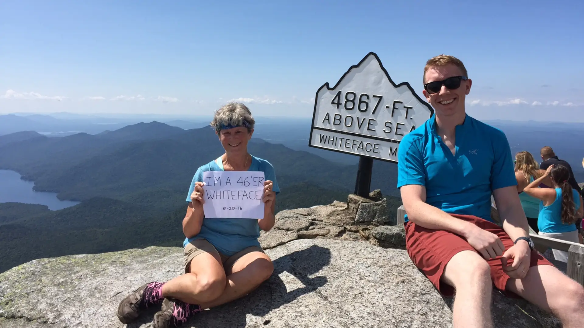
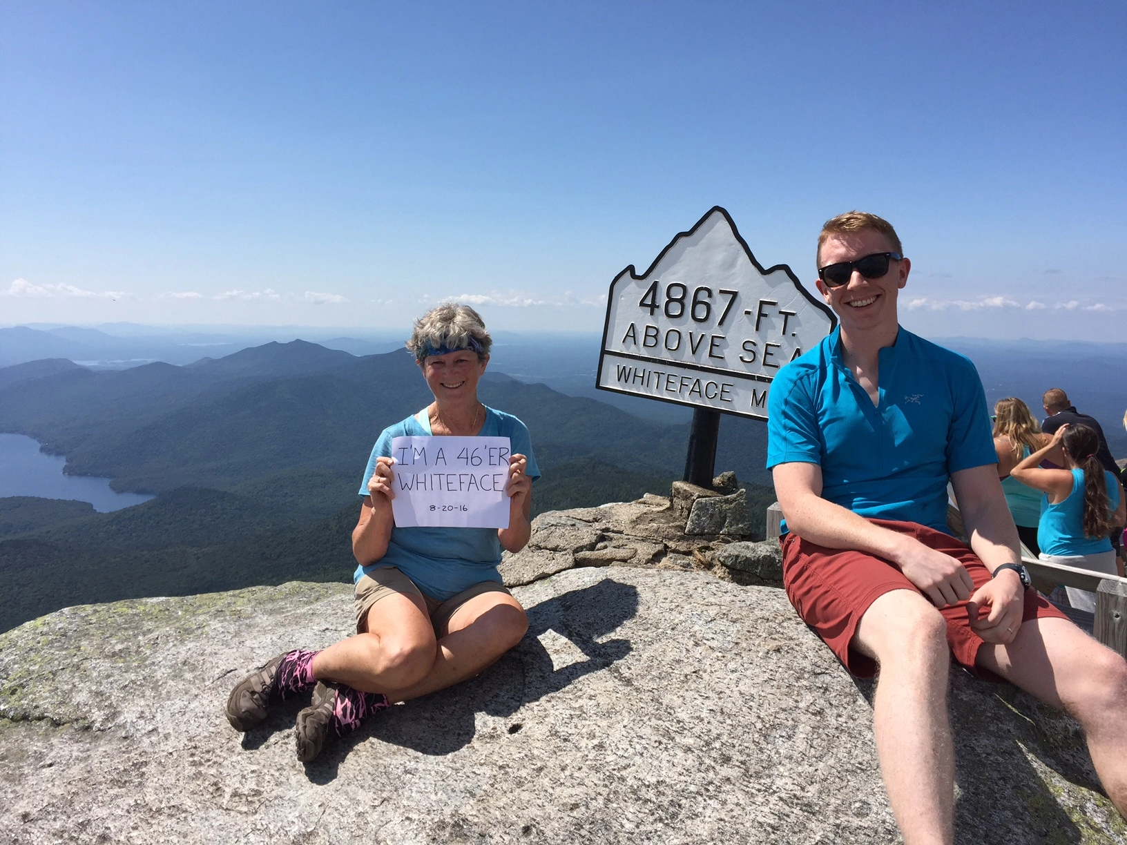
- Elevation: 4,867 feet
- Elevation gain: 3,050 feet
- Hike includes steep rocky sections, trail junctions, and an exposed summit
- Based on ASRC trail
Hiking Whiteface Mountain
Whiteface Mountain has three main approaches, with the approach from Whiteface Landing being the least traveled, but most difficult of the three. In addition to these three options, a drive on the Veterans’ Memorial Highway to the castle just below the summit, followed by a short, steep hike to the top can be an alternative way to experience the summit. Described below are the two preferred routes to the top, from the Atmospheric Science and Research Center (ASRC) and from the Reservoir.
Trail from the ASRC
This is a 3.6 mile hike, one way. From the trailhead you descend a bit right before a steep climb up Marble Mountain, following an old ski slope. This section is filled with loose rock, and footing can be insecure.
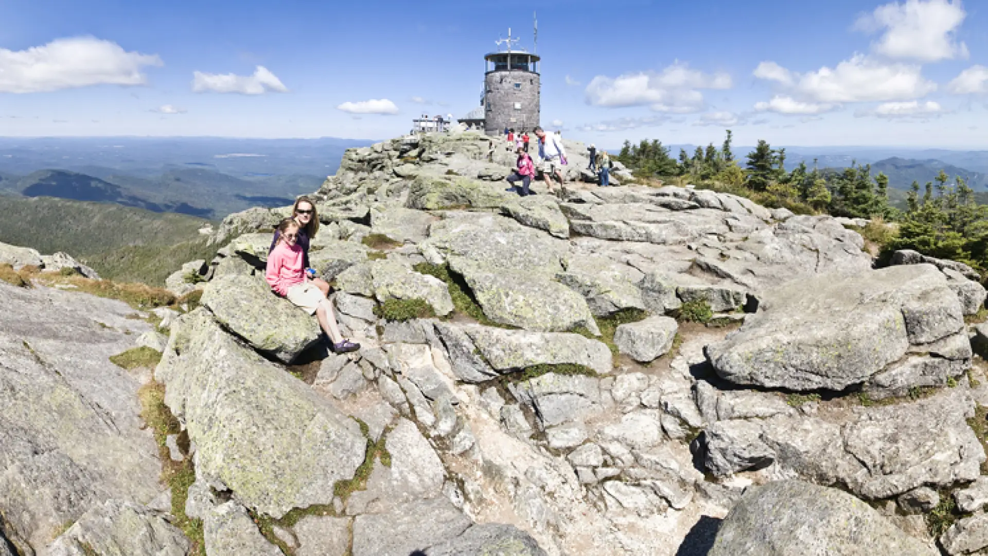
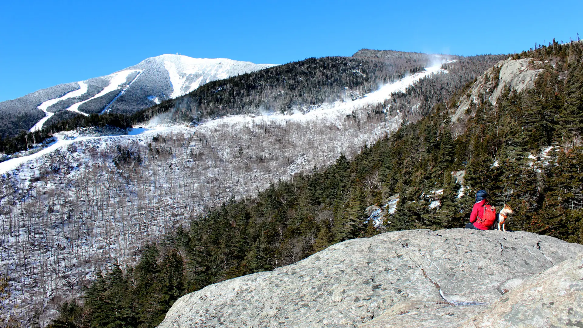
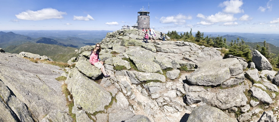
From the top of Marble Mountain you will come to an intersection, left is the Reservoir trail outlined below, and right is the route you will want. After a level section, you will start a demanding climb through a dense evergreen forest with some views along the way. After just over 2 miles you will come to a rather large cairn at a trail intersection. Right is the unmarked trail to Esther Mountain. Continuing straight, the climb descends a small amount before it climbs steeply to the Whiteface Veterans’ Memorial Highway. The trail leaves the roadside via a short, steep scramble and climbs steeply up the remaining 0.5 miles along an open ridge. You will continue the ridge to the summit of Whiteface, where the Whiteface Mountain Field Station is located.
Trail from the Reservoir
This is a 4.75 mile hike, one-way, to the summit, with 3,600 feet of elevation gain. This longer approach intersects the ASRC trail, and offers a slightly easier grade but with more elevation gain than the ASRC trail.
From the trailhead you will hike through an open forest along a well-trodden foot trail for 1.2 miles, where it swings right to start a steep hike up Marble Mountain. You reach the intersection with the primary trail above at around 2 miles, and continue straight, following the trail described above.
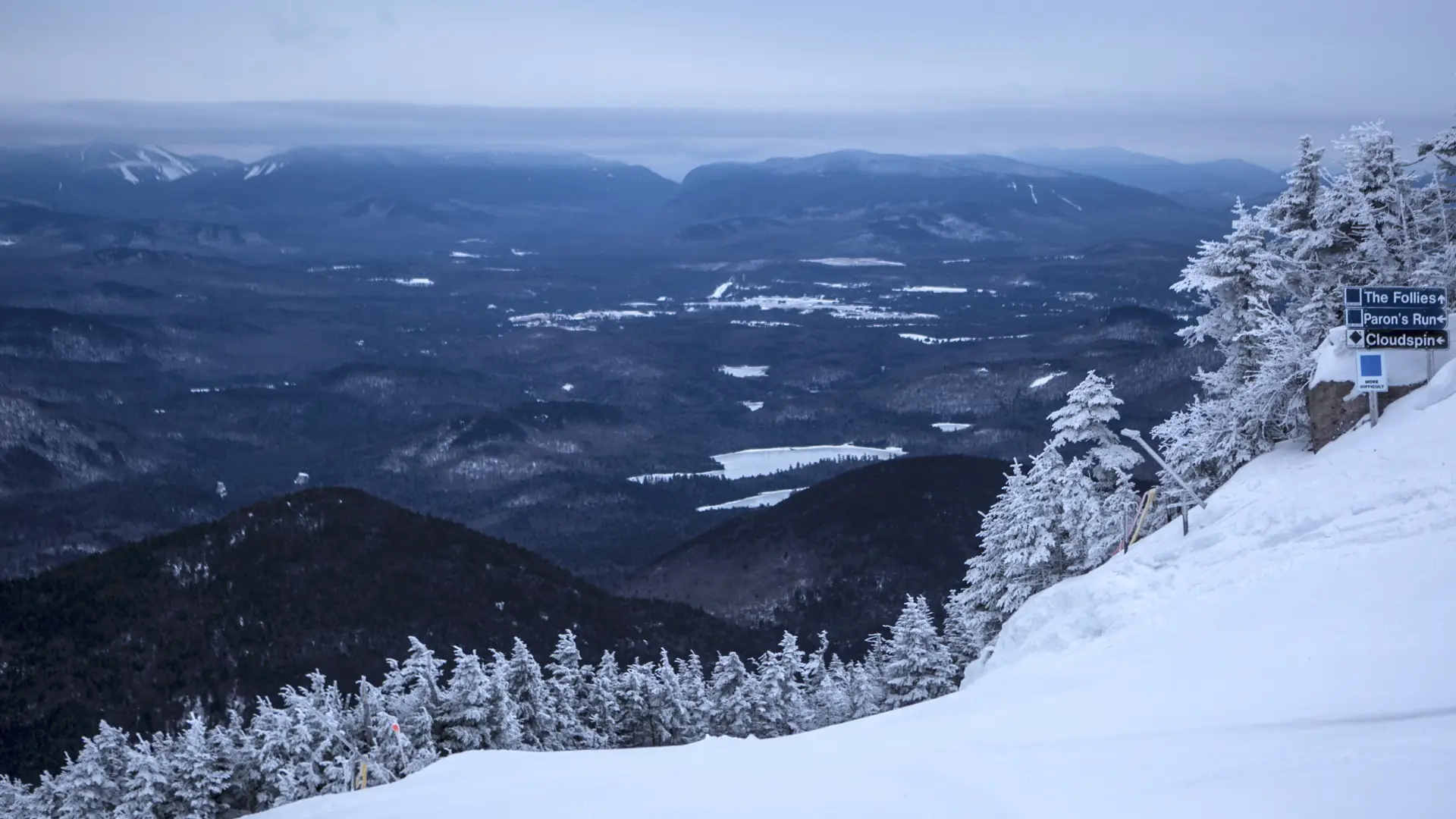
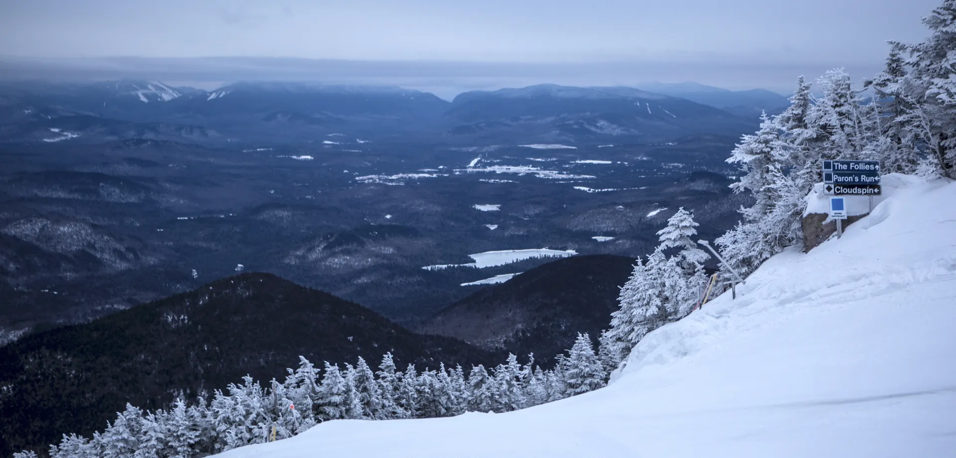
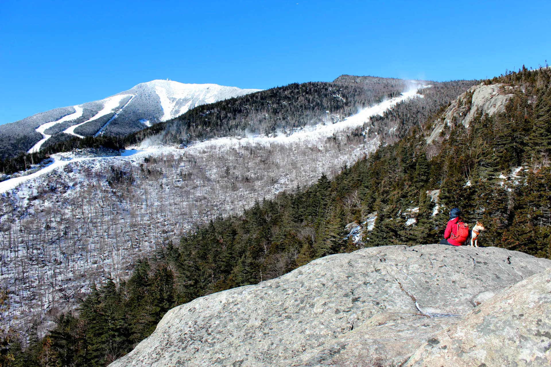
Whiteface Mountain in the winter
Whiteface Mountain in the winter should only be attempted by experienced winter hikers. The ridge and summit often have heavy winds and extremely low temperatures. Proper winter attire and gear is critical here. Traction devices, such as snowshoes and microspikes, are necessary to traverse the icy sections and deep snows. In particular, the short scramble near the Memorial Highway can be difficult during the winter, and hiking with an experienced partner can help with navigating this area. The trail from the ASRC is most commonly used in the winter, and while chances of the trail being pack down are high on a weekend, prepare for deep snow.
Find your perfect trail near Lake Placid
Does Whiteface Mountain sound amazing, but a little more than you want to tackle right now? No need to stress, with over 2000 miles of hiking trails in the Adirondacks we are sure we can find the perfect hike for you.
How to get there
ASRC: From the intersection of Route 73 and Route 86, follow Route 86 toward Wilmington. Continue into Wilmington to the four-way stop sign. From the four-way stop sign in Wilmington, take the turn onto Route 431 (Whiteface Mountain Road) toward the Toll Road. Follow here, go 2.4 miles to the Atmospheric Science Research Center Road on the left. Follow this road around the one-way roundabout to the trail and parking on the right, just past a dirt road that descends into the woods.
Reservoir: From the intersection of Route 73 and Route 86, follow Route 86 toward Wilmington. From the four-way stop sign in Wilmington, take the turn onto Route 431 (Whiteface Mountain Road) toward the Toll Road. Go 0.6 miles to Reservoir Road on the left, drive to the end and park.
Emergency Information
Related Content

Ready to hike in the High Peaks? There is no set way for how to become a 46er, but there is a R.I.G.H.T. way.

Lake Placid, NY is home to short hikes, moderate hikes, and longer hikes, making us the perfect hiking destination for any hiker! Read these hiking safety and etiquette tips that will keep you safe and happy on the trails this summer!

As you begin to plan your perfect day, you will quickly learn that many of these combinations of activities can be found at just one location within the greater Lake Placid area. To give you a sampling here is a breakdown of the top 3 ways to experience.