Round Trip
1.2 miles
1.9 kilometers

Elevation
The height of the summit or destination, from sea level.
1680 feet
512.1 meters

Elevation Gain
The total amount of vertical ascent (uphill climbing) on a hike. This is cumulative gain, totalling the elevation change of the uphill segments from a round-trip hike.
450 feet
137.2 meters

Route Type
A hiking trail may be classified as a Loop, Out and Back, Point to Point, Bushwhack, or Multi-day Thru Hike, with some destinations having more than one of these ways as a hiking option.
  • Out and Back
Round Trip
1.2 miles
1.9 kilometers

Route Type
A hiking trail may be classified as a Loop, Out and Back, Point to Point, Bushwhack, or Multi-day Thru Hike, with some destinations having more than one of these ways as a hiking option
  • Out and Back
Elevation
The height of the summit or destination, from sea level.
1680 feet
512.1 meters

Elevation Gain
The total amount of vertical ascent (uphill climbing) on a hike. This is cumulative gain, totalling the elevation change of the uphill segments from a round-trip hike.
450 feet
137.2 meters

Round Trip
1.2 miles
1.9 kilometers

Route Type
A hiking trail may be classified as a Loop, Out and Back, Point to Point, Bushwhack, or Multi-day Thru Hike, with some destinations having more than one of these ways as a hiking option
  • Out and Back
Elevation
Lorem ipsum dolor sit amet consectetur. Phasellus cursus malesuada tincidunt placerat non maecenas. Viverra morbi aliquam neque id nibh lorem massa quam non.
1680 feet
512.1 meters

Elevation Gain
The total amount of vertical ascent (uphill climbing) on a hike. This is cumulative gain, totalling the elevation change of the uphill segments from a round-trip hike.
1680 feet
137.2 meters

A fanning waterfall
View all photos
trail highlights
trail features
trail category
Waterfall
Trail Junctions
Road Walk
Short

About

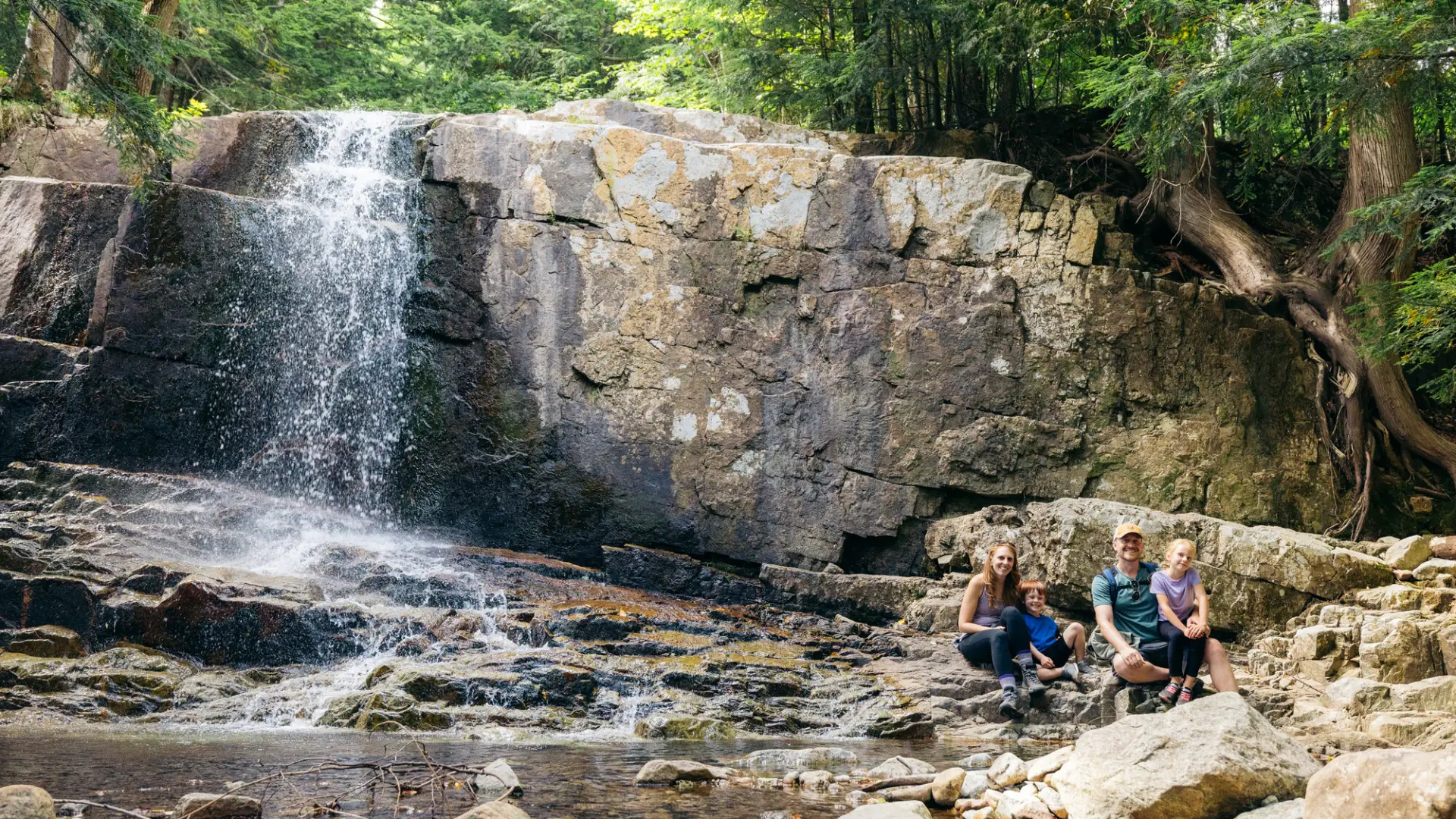
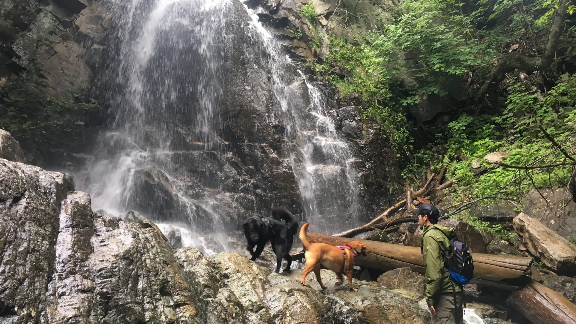
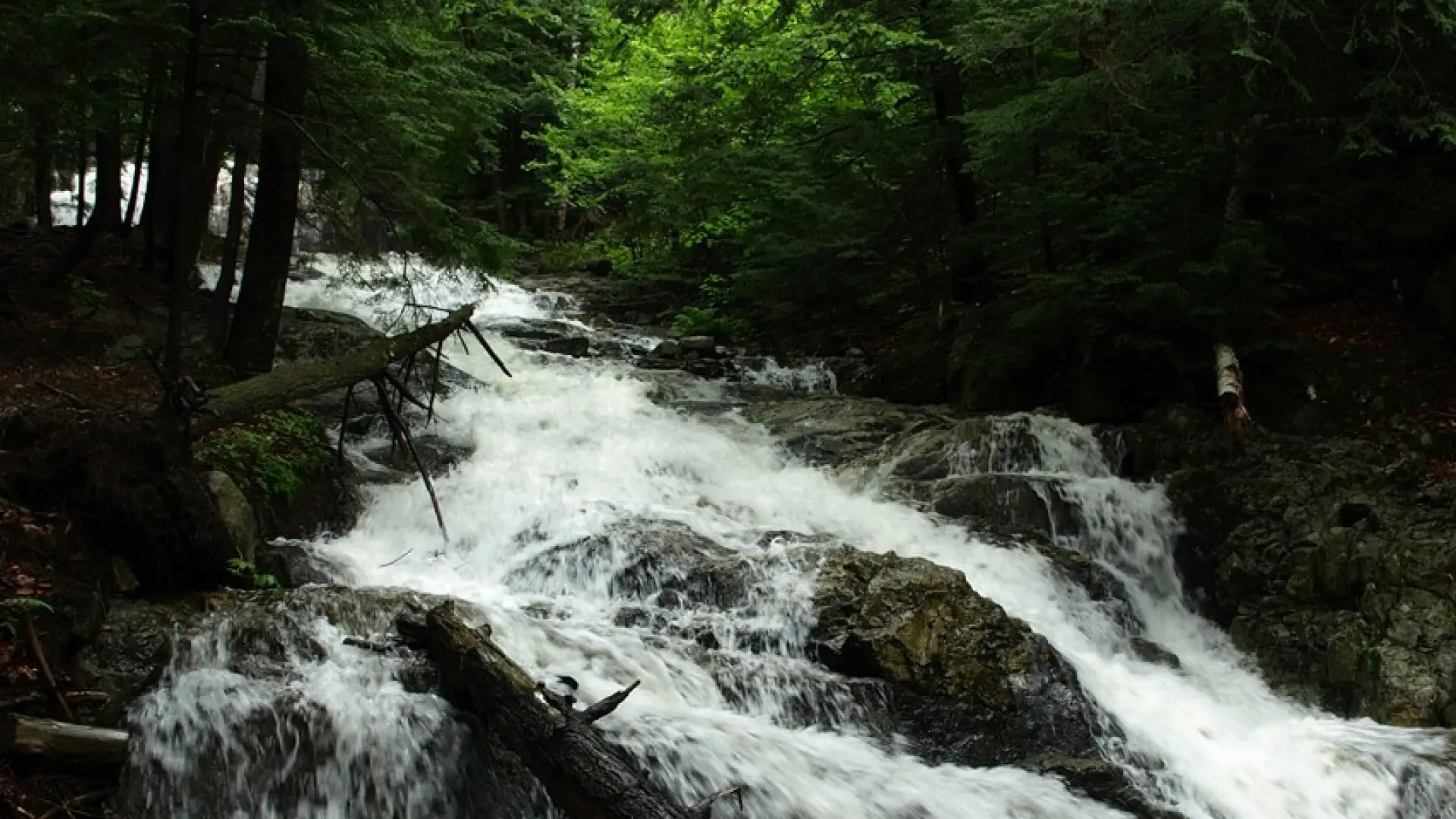
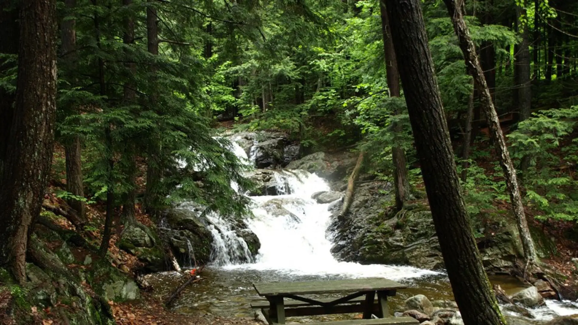
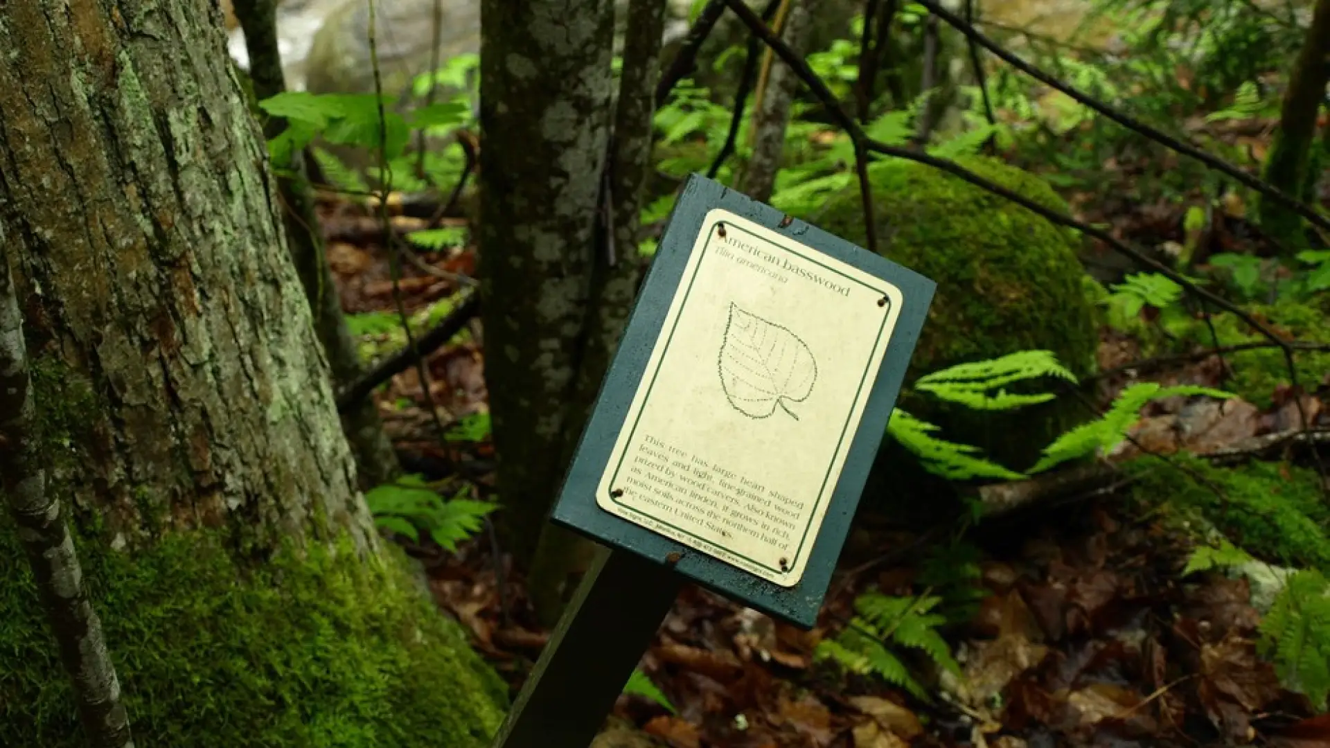
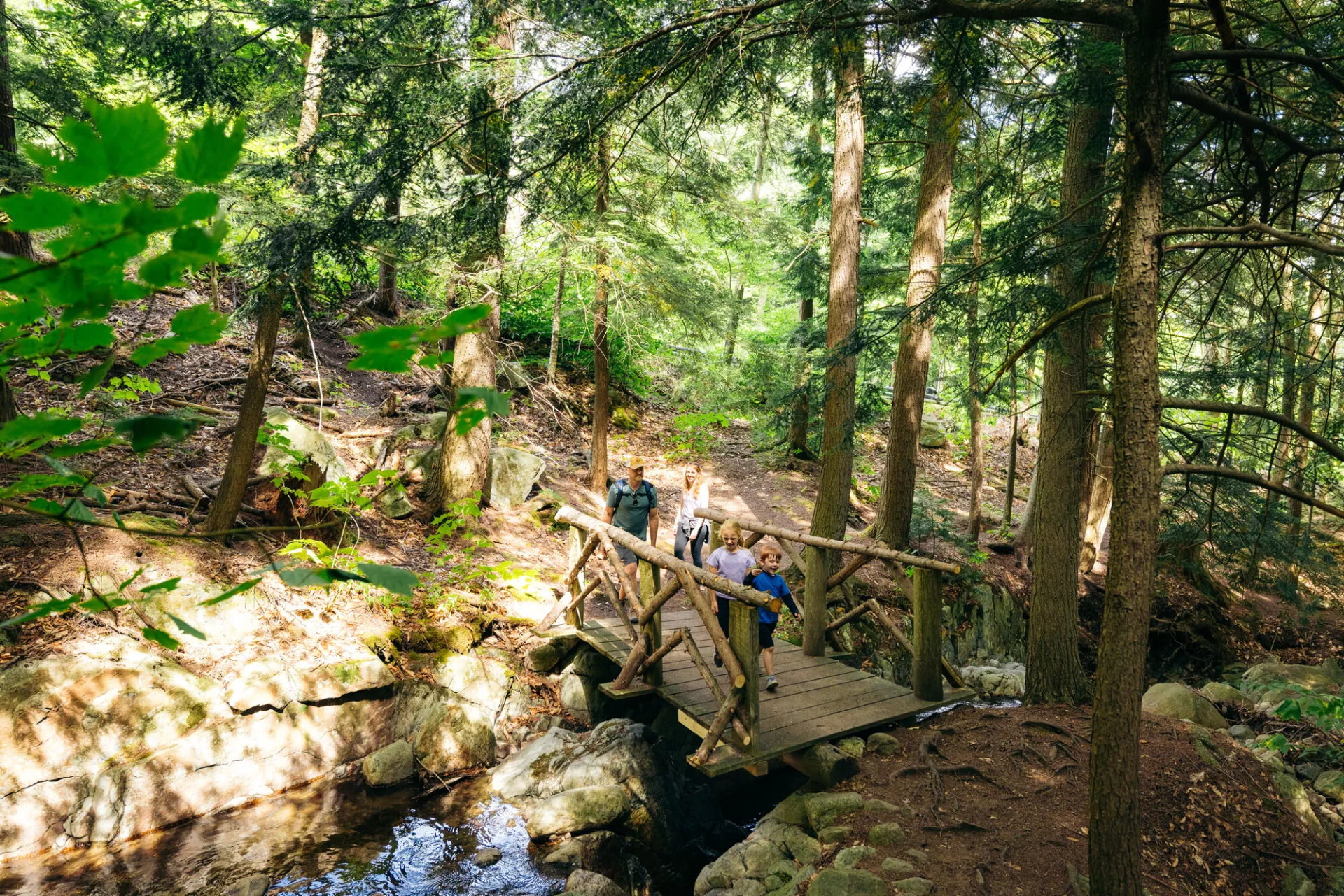
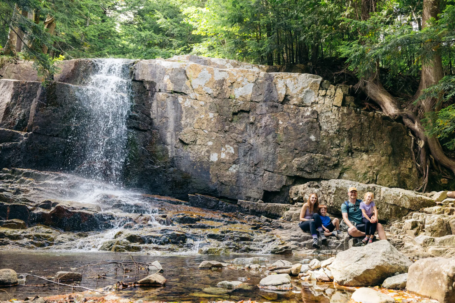
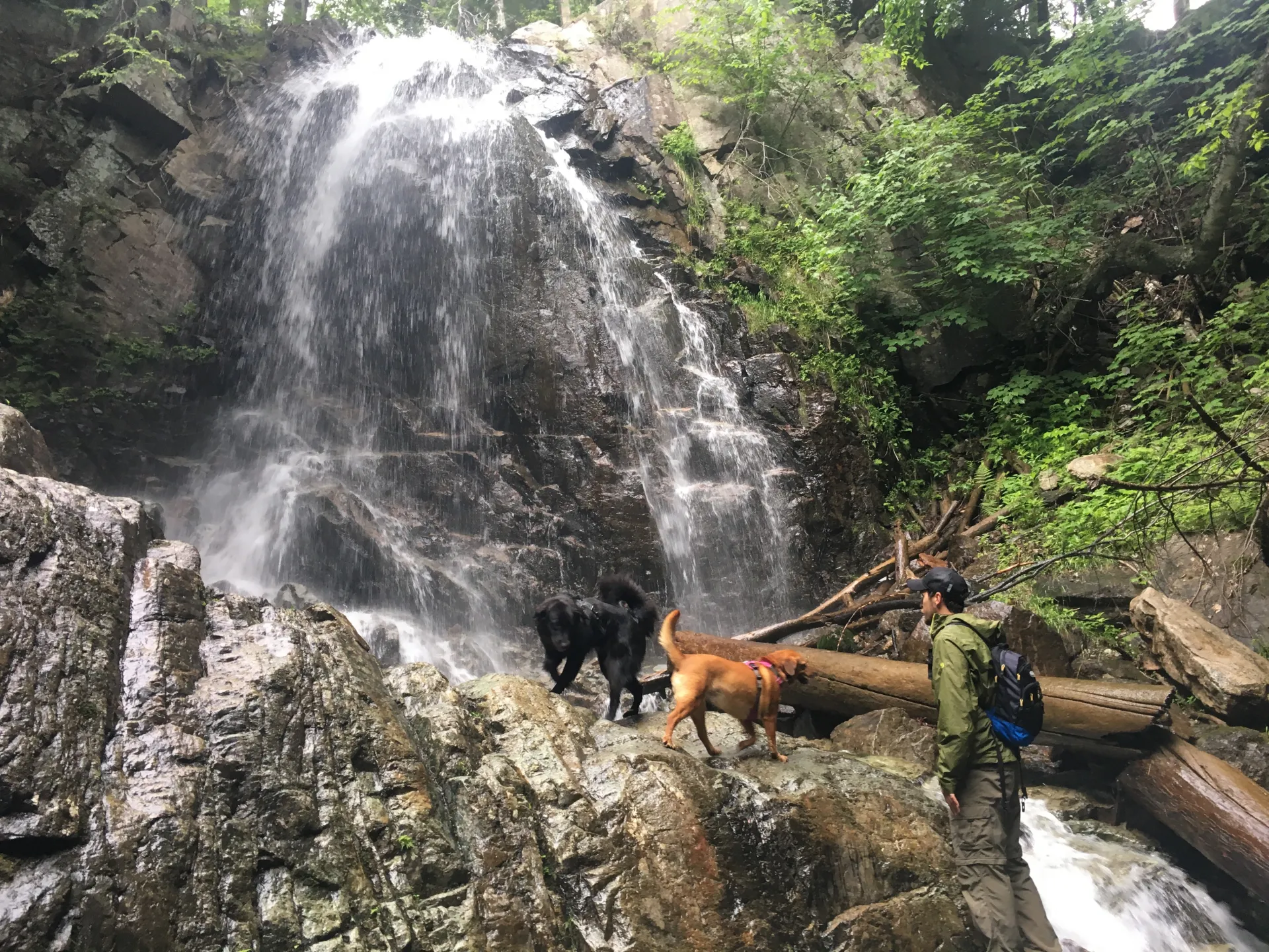
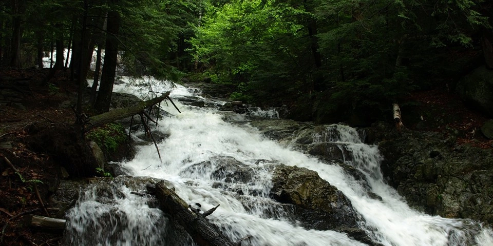
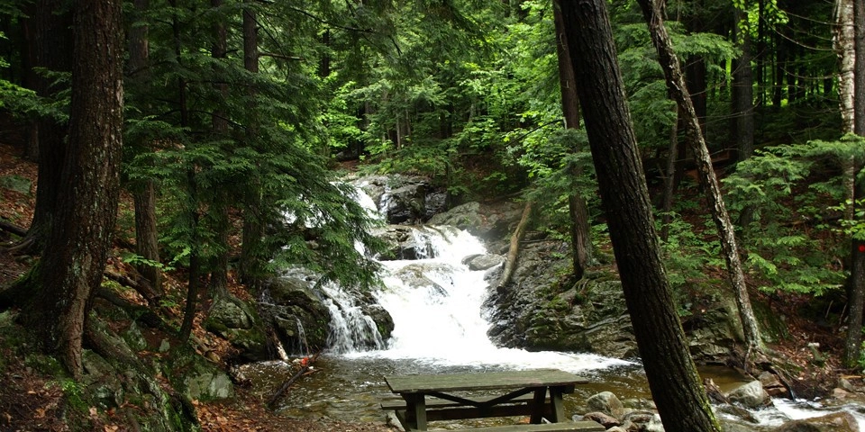
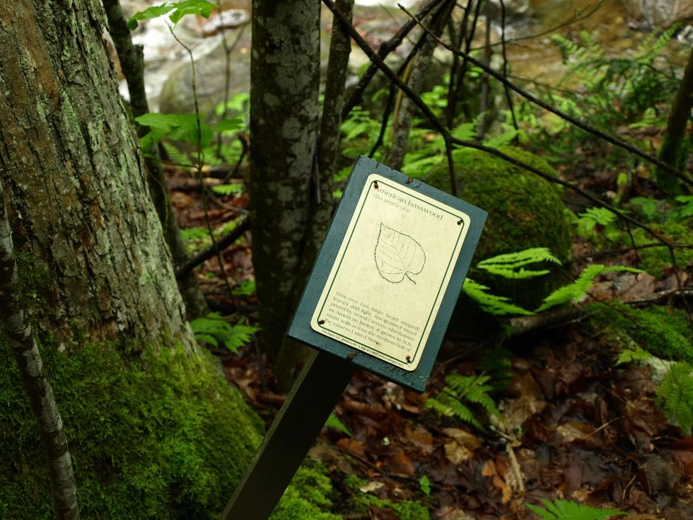
Stag Brook Falls is an excellent hike along a brook with numerous waterfalls and cascades. Picnic benches, nature signs, and swimming are available along the way. When the mountain is open for skiing, hikers are not granted access to this trail.

Key takeaways

  • Distance: 1.2 miles round trip
  • Elevation gain: 450 feet

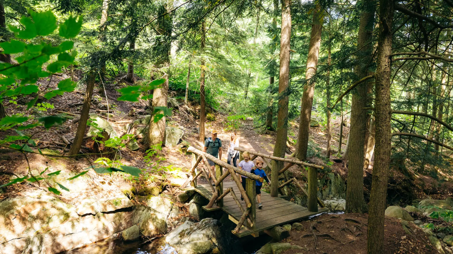
Hiking to Stag Brook Falls

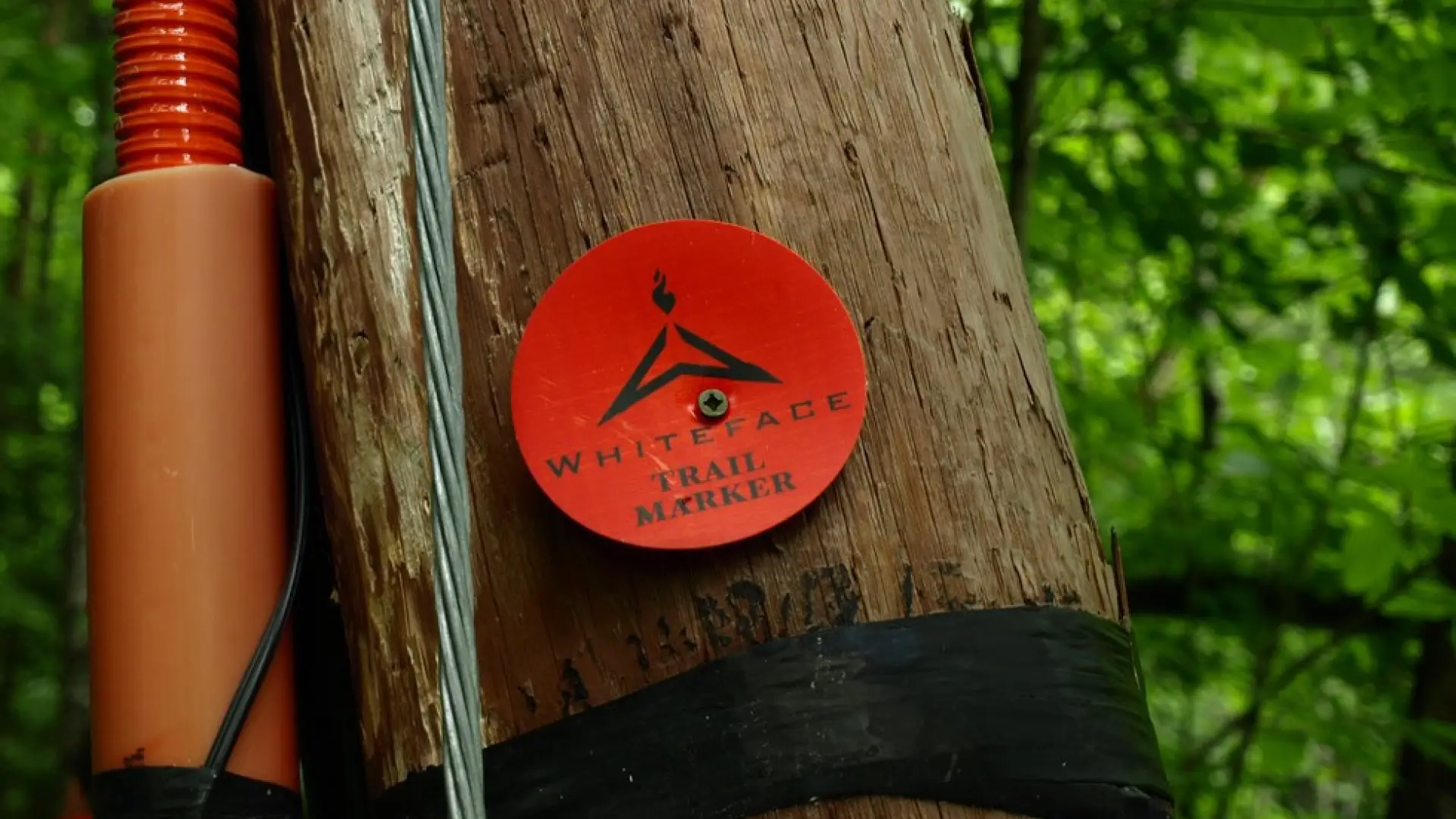
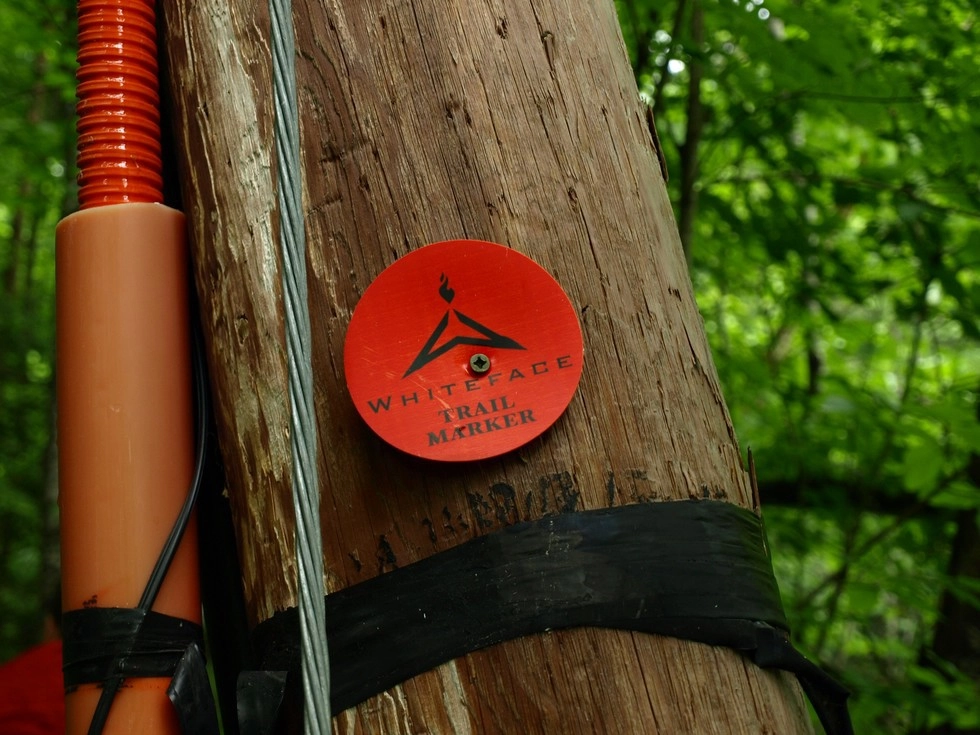
You will need to park in the main lot for the Whiteface Mountain Ski Center and hike the road toward the Main Lodge. As you cross the bridge there will be the main building on your left and another building straight ahead. Walk to the left of the secondary building and up the gravel road onto one of the ski trails. The trail for Stag Brook Falls is at the top of the gravel road; a marker on a power pole is its start.

The hike will start on an uphill and continue to climb to its end. The largest of the falls is not too far along the trail and can be enjoyed from the base or from a bit higher as you continue along the trail. The trail continues along the left of the brook as it makes it way higher along the cascade. Other small waterfalls and swimming holes are met along the way.

A road crossing is part way up, just cross directly over it to the continuation of the trail. The trail will essentially end on the ski slopes.

Stag Brook Falls in the winter

This trail is not accessible when the skiing/riding is open.

Get close to more trails in the Whiteface Region

Looking for another incredible trail in the Whiteface Region? With everything from High Peaks to backcountry ponds, there are more hikes waiting for you!

How to get there

Access to this trail is at the Whiteface Mountain Ski Center. From the 4-way intersection in Wilmington, travel west on Route 86 toward Lake Placid. Continue for less than 4 miles to the Whiteface Mountain Ski Center. Turn into the center and park in the lot on the right, just before the bridge.


Difficulty Level Explained
Lorem ipsum dolor sit amet

Lorem ipsum dolor sit amet consectetur. Phasellus cursus malesuada tincidunt placerat non maecenas. Viverra morbi aliquam neque id nibh lorem massa quam non. In dignissim donec velit elit justo. Nec convallis in nibh imperdiet diam elit cursus aliquam. In orci nunc vel orci aliquam vivamus nulla. Tempor lacus varius dolor at id feugiat velit convallis lectus. Blandit facilisi ut iaculis sit in non purus. Nulla luctus viverra odio pharetra vel dui facilisis non. At pellentesque nibh cursus gravida pretium. Varius velit vitae porttitor et pulvinar.

Emergency Information
If you get lost or injured, remain calm and stay put. If you have cell service, call 911 or the DEC Forest Ranger Dispatch, 833-NYS-RANGERS (833-697-7264).
 
Plan ahead and hike smart. Bring a map, extra food, water, and warm clothing, and check the weather before you go. Stay aware of your surroundings and landmarks. If you get turned around, don’t panic—stop, think, and stay where you are. Let someone know your route and expected return time.