- Loop
- Loop
- Loop


About
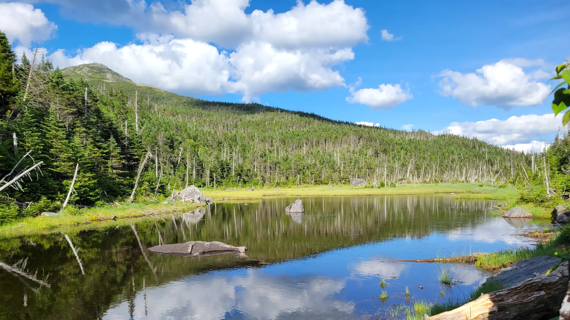
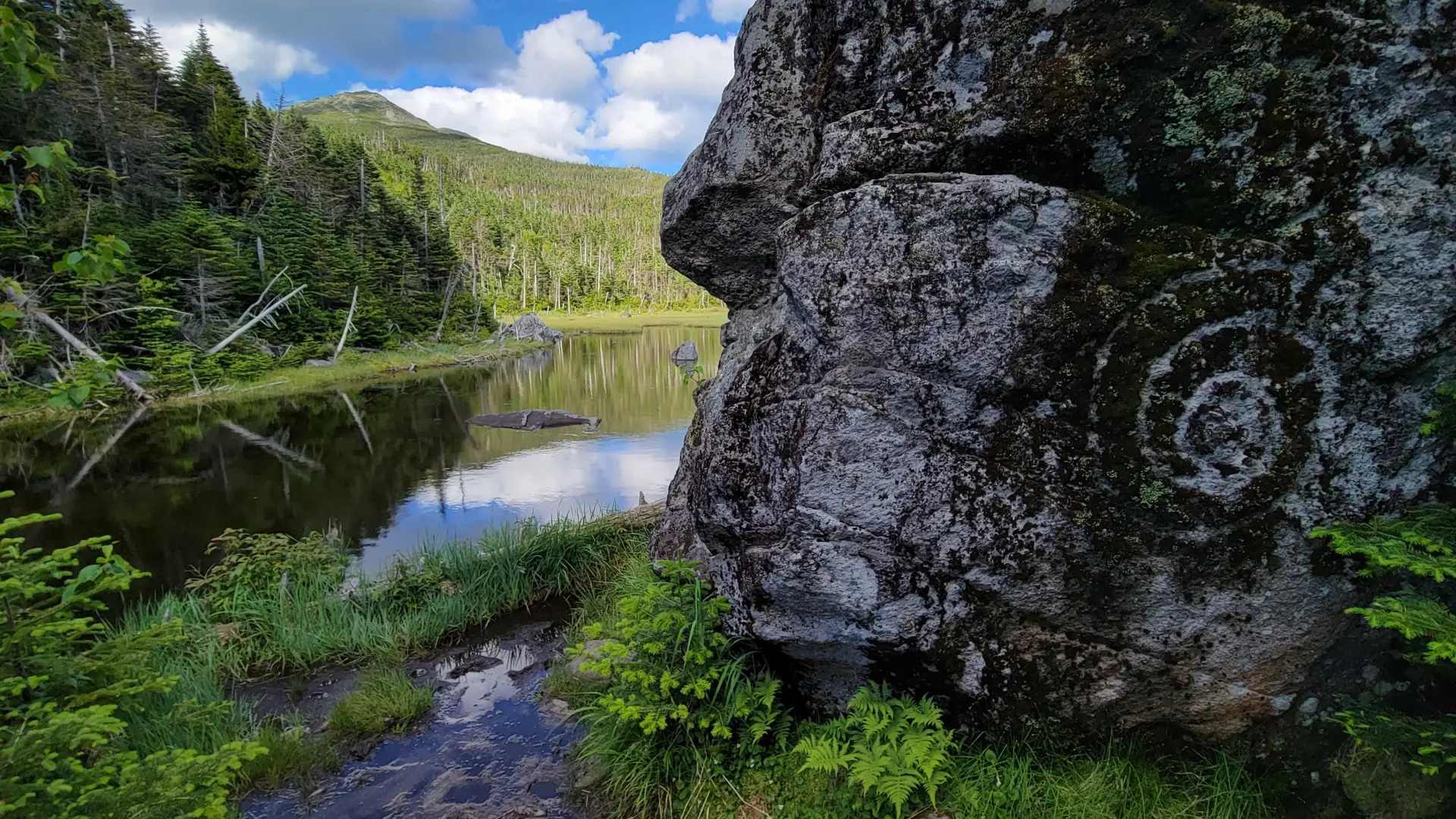
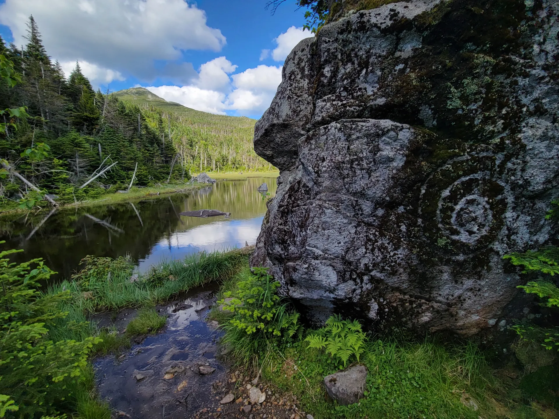
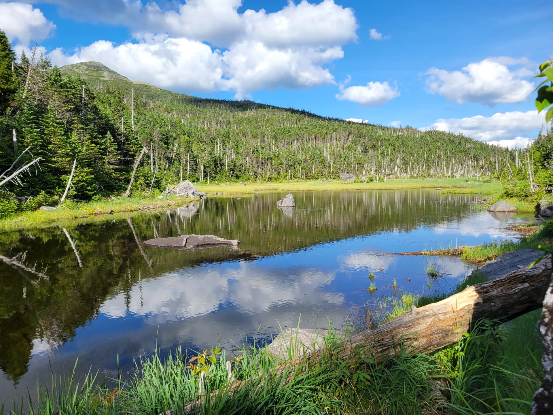
On the southwest slope of Mount Marcy sits Lake Tear of the Clouds. It's famous for many reasons, including its role in a presidency. A successful hike of Lake Tear of the Clouds involves research, physical fitness, the right gear, and knowledge of Leave No Trace principles.
Key takeaways
- Distance: 15.3 miles round trip
- Elevation gain: 4,030 feet
- Hike includes trail junctions, steep rock slab, water crossings, and bridges
- Based on a hike from the Loj, over Marcy, passing Lake Tear of the Clouds, and returning via Lake Arnold
Hiking Lake Tear of the Clouds
This route requires hikers climb Mount Marcy. From the summit of Marcy, after hiking in from Marcy Dam and the Van Hoevenberg Trail, you will descend off the south side toward Four Corners and go over Schofield Cobble. The descent is steep, and below treeeline can be quite slipper as well. It is 0.8 miles to the intersection. At the intersection, take a right and head towards Lake Tear. After reaching the shores of Lake Tear, you will descend steadily to a T-intersection near Feldspar lean-to, where you will take a right towards Lake Arnold. After 500 feet or so of climbing, pass Lake Arnold and descend towards Avalanche Camps, then on to Marcy Dam and out to the Loj.
Lake Tear in the winter
Hiking Lake Tear of the Clouds, and Mount Marcy, in the winter should only be attempted by experienced hikers, so make sure you are prepared. Snowshoes are necessary, and snow spikes or crampons are needed to climb the exposed upper reaches of the peak. Plan on temperatures in the higher elevations being at least 20 degrees colder than at the trailhead, not including the windchill. Bring several extra non-cotton layers, a headlamp with spare batteries, extra food, a windbreaker, goggles, a face mask, and supplies for spending the night in case of an emergency. There are two main water crossings at Phelps and Marcy Brooks. These crossings can be especially dangerous during the beginning and end of winter. Always use caution at water crossings. Turning around is always an option. Do not attempt to go onto Lake Tear of the Clouds when it is frozen, especially during the shoulders seasons and during bouts of warmer weather.
History
On September 14, 1901, then-US Vice President Teddy Roosevelt was at Lake Tear of the Clouds after returning from a hike to Mount Marcy. While there, he received a message informing him that President William McKinley had taken a turn for the worse after being shot two weeks earlier. McKinley was originally expected to survive the gunshot. Roosevelt hiked from Lake Tear of the Clouds back down to Tahawus where he began his infamous 40-mile midnight stage coach ride to the railroad station in North Creek. It was in North Creek that Roosevelt learned McKinley had died and on the train to Buffalo, Roosevelt was sworn in as President.
Lake Tear of the Clouds is also cited as the source of the Hudson River, which begins its 315-mile journey to New York City in the Adirondack Mountains.
Find your perfect trail near Lake Placid
Does Lake Tear of the Clouds sound amazing, but a little more than you want to tackle right now? No need to stress, with over 2000 miles of hiking trails in the Adirondacks we are sure we can find the perfect hike for you.
How to get there
Leave Lake Placid on Route 73 and follow toward Keene. Continue for about 3 miles to Adirondack Loj Road on the right. Follow Adirondack Loj Road to its end at Heart Lake. A parking fee is required.