- Out and Back
- Out and Back
- Out and Back


About
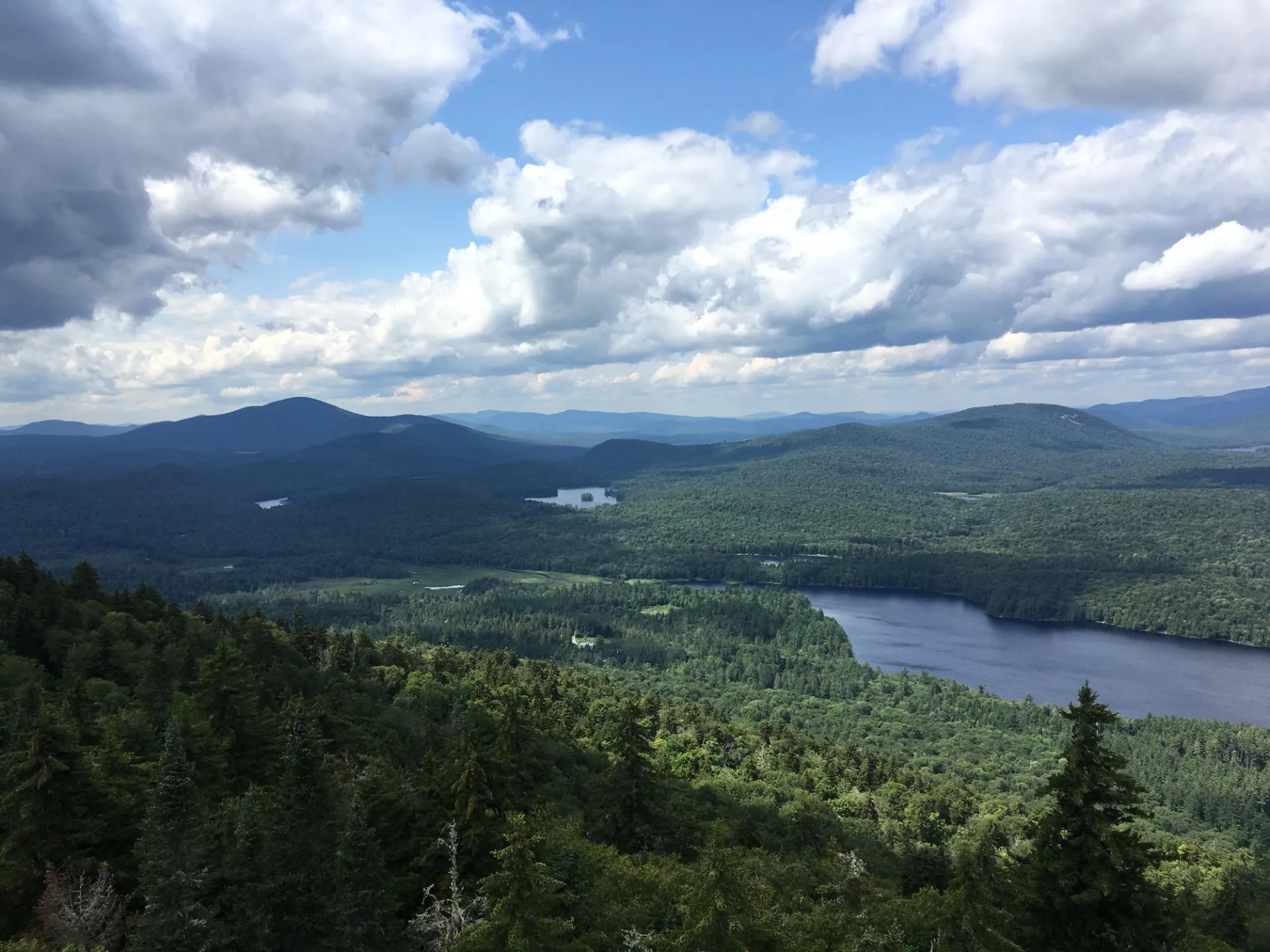
Goodnow is a very prominent peak when seen from Route 28N. This ragged-looking mountain is home to one of the remaining fire towers in the Adirondacks.
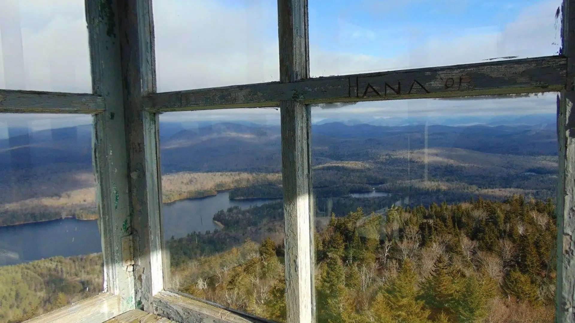
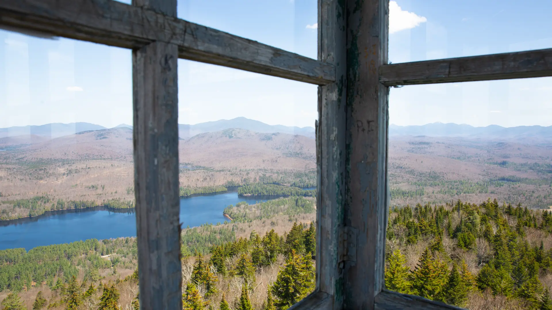
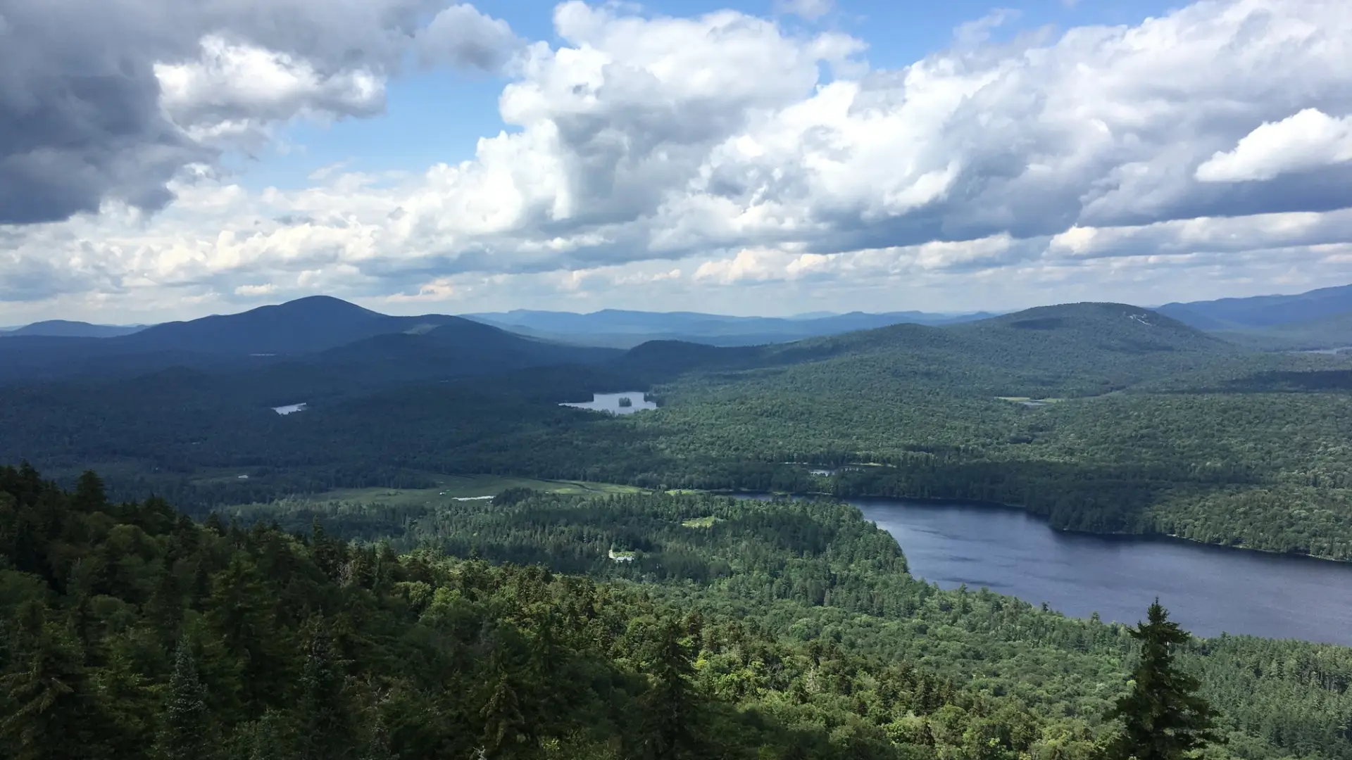
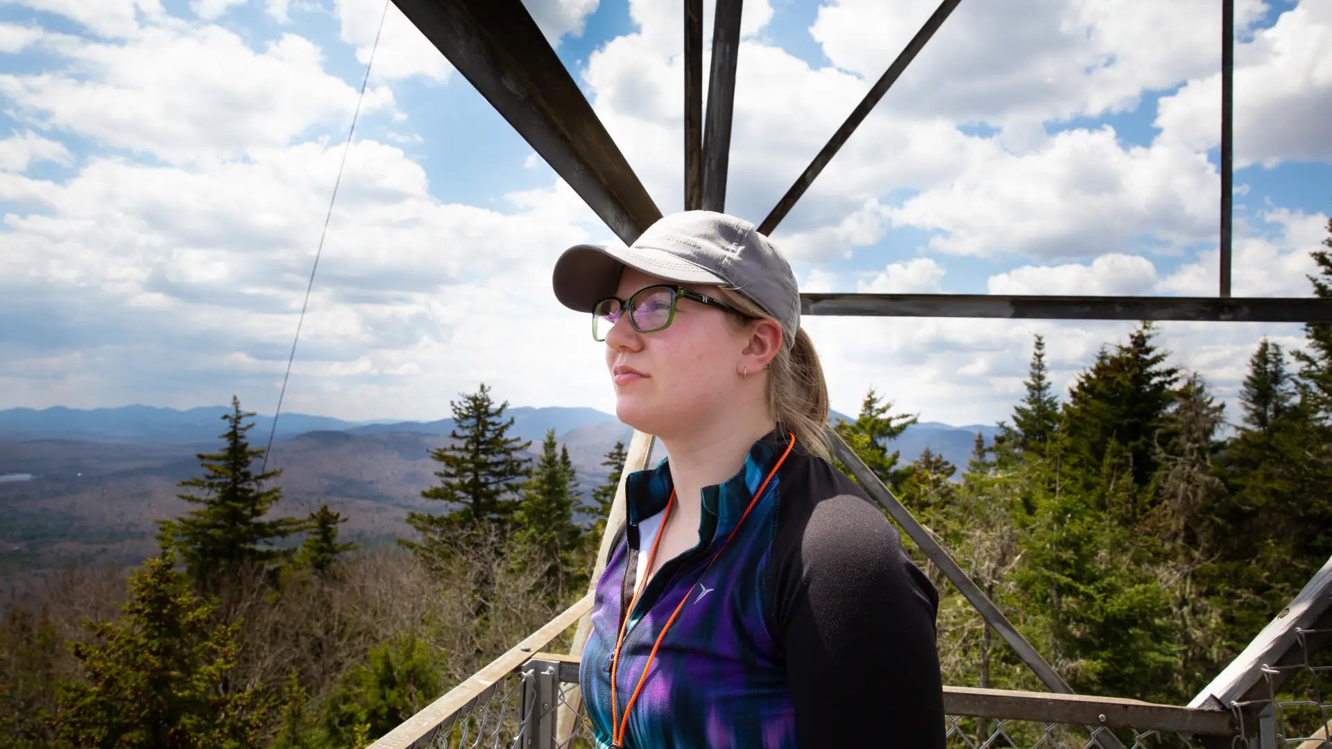
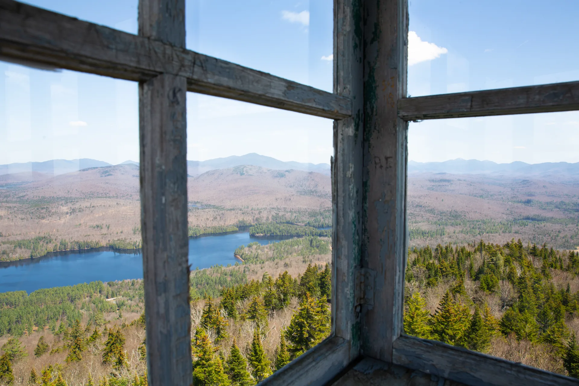
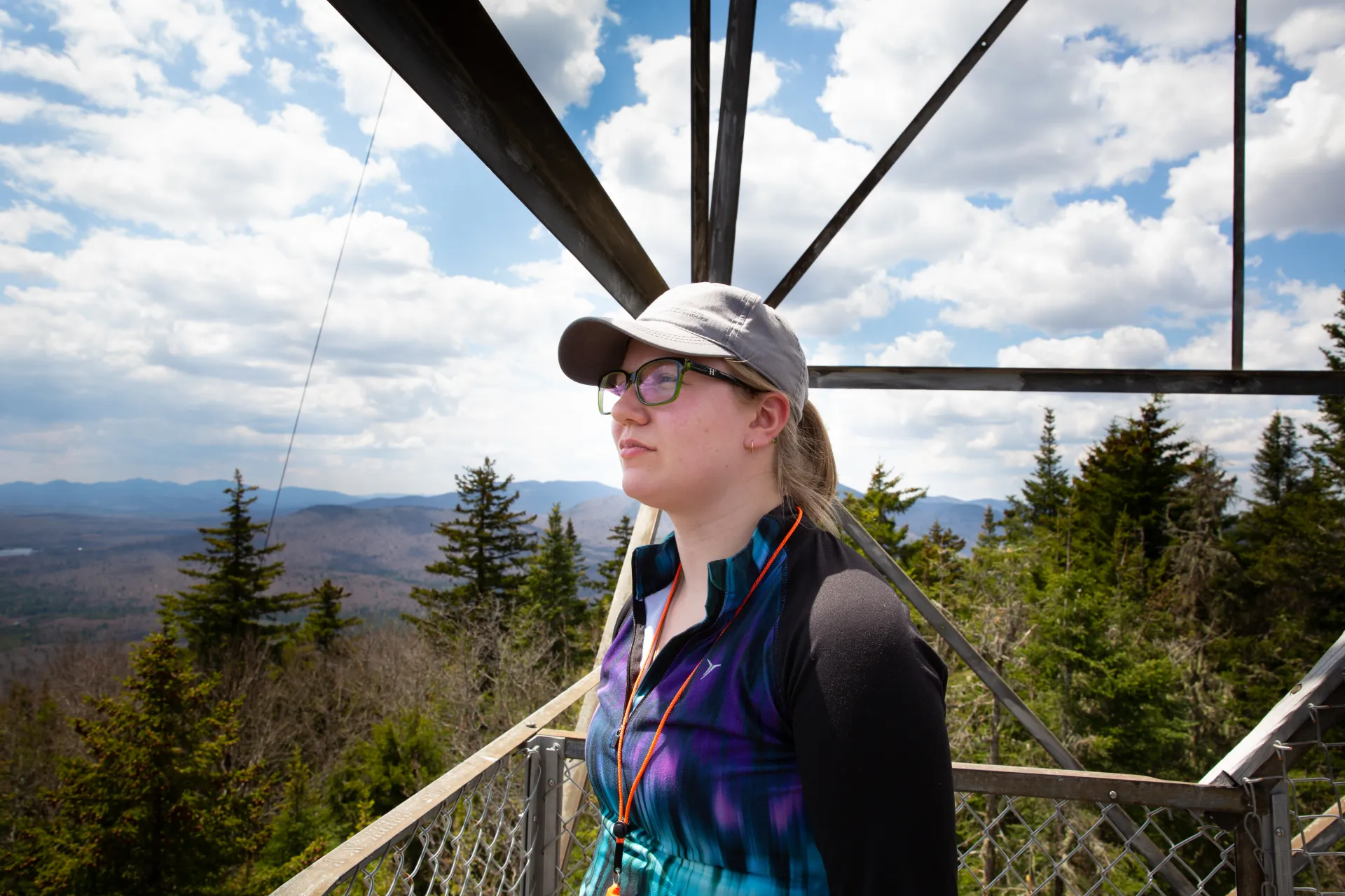
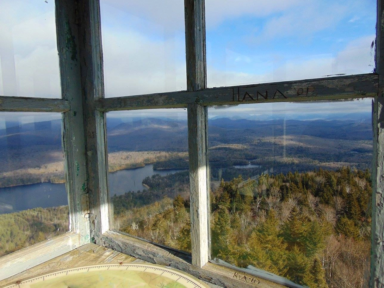
From the restored fire tower (originally built in 1922), excellent views of the High Peaks can be had. A map, used by former firetower observers to locate forest fires, will give you a better understanding of your surroundings while in the tower. And it’s a cool piece of history!
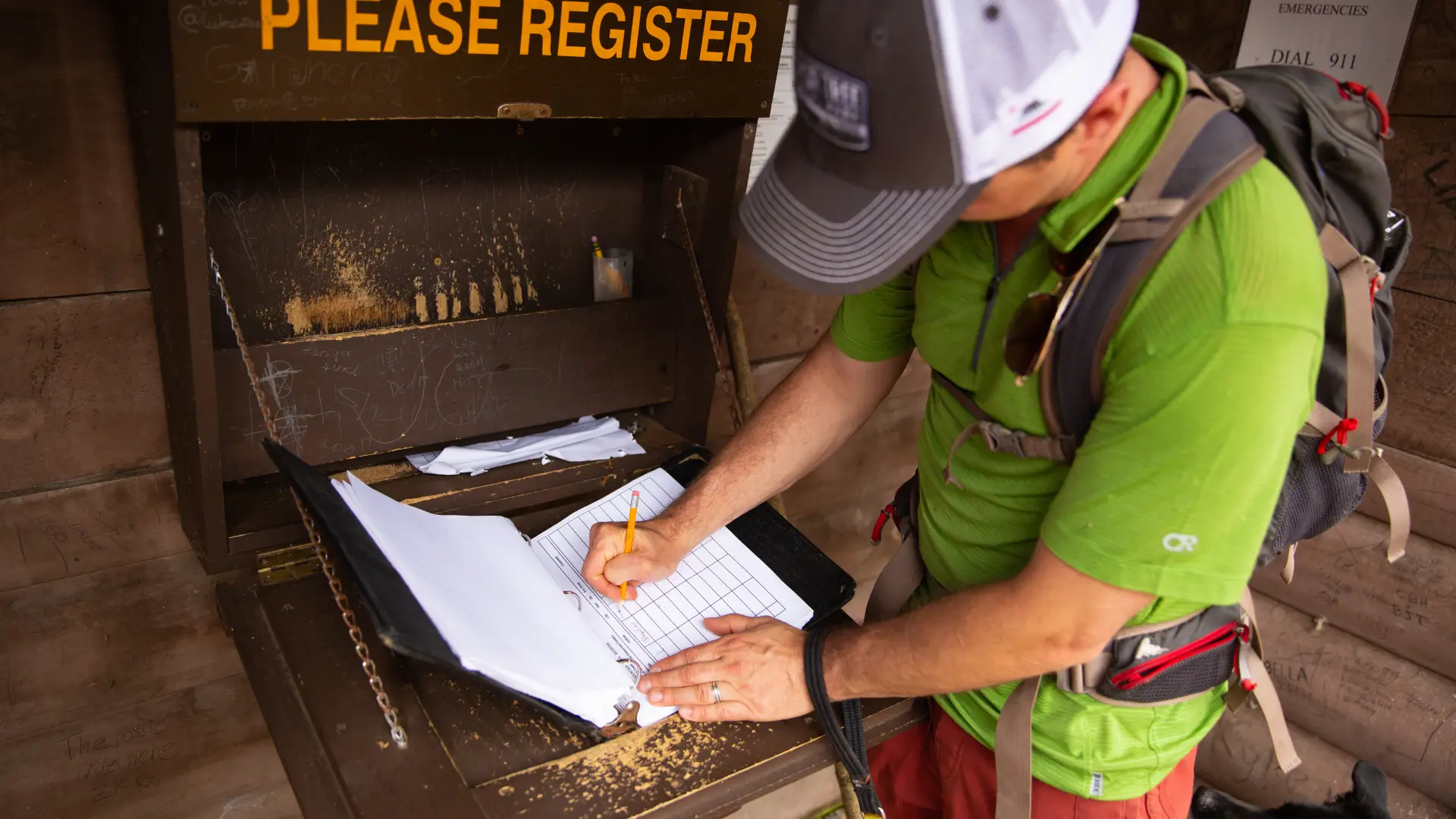
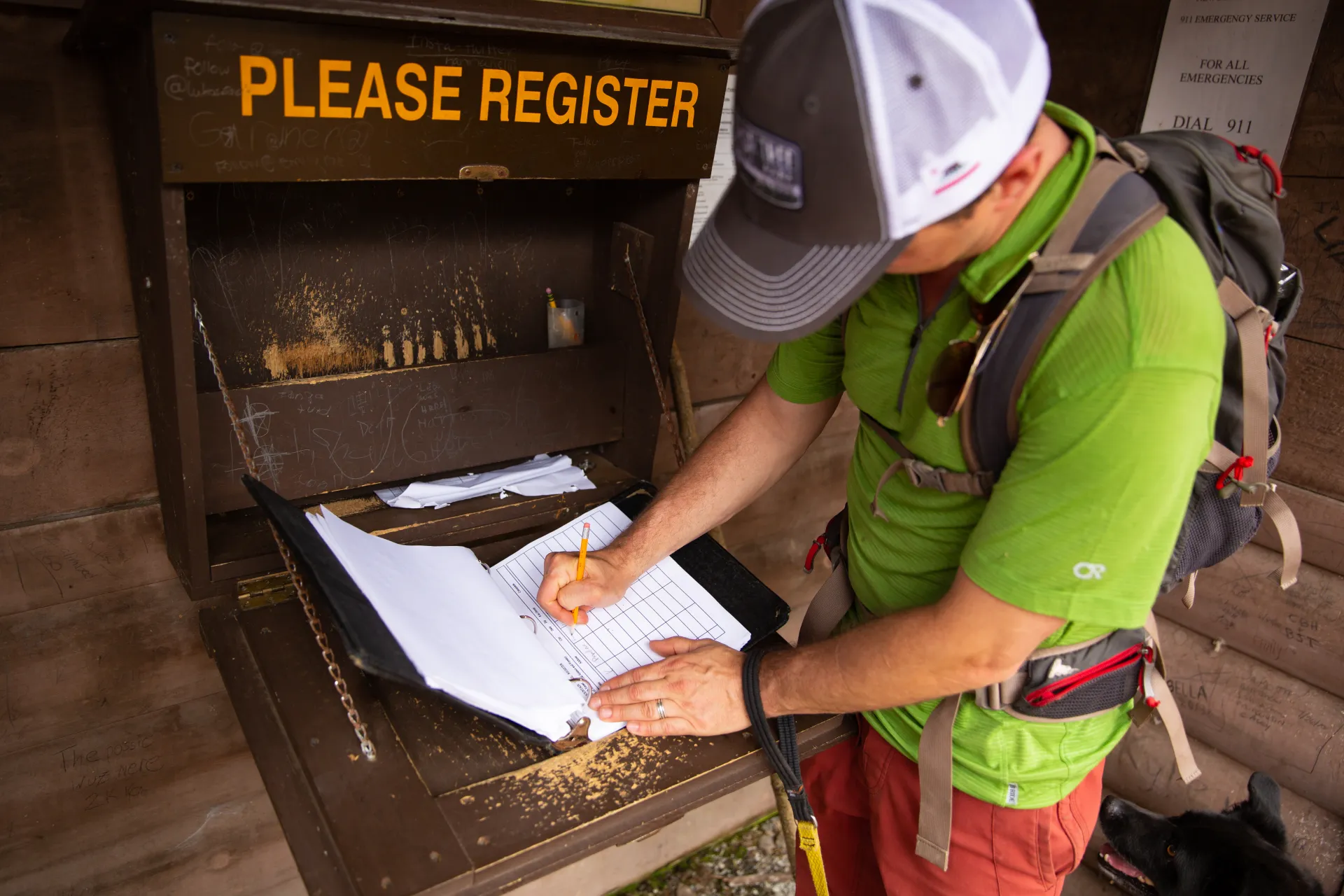
The trail to Goodnow is on private land owned by the SUNY College of Environmental Science and Forestry (ESF). ESF staff and students continue to maintain the tower and trail. Please be respectful of their work and the environment.
Key takeaways
- Distance: 4 miles round trip
- Elevation gain: 1,075 feet
- Mountain elevation: 2,664 feet
Hiking Goodnow Mountain
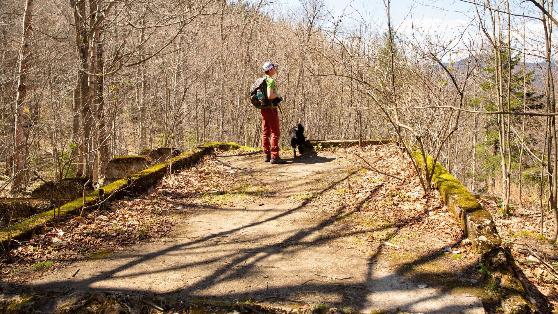
As you move along, the trail climbs steady to moderate for about 1 mile. A small brook is passed at 0.5 miles from the trailhead. At 0.9 miles, the trail swings very sharply to the left, where it descends momentarily before resuming the climb. At 1.4 miles a concrete platform is reached. These are the remnants of a State Police radio repeating station.
Soon after, you’ll reach an old horse barn that dates to the early 1900s. The trail becomes rockier and steeper, and you’ll notice the trees changing from hardwood to spruce and balsam. Just before the summit, at 1.8 miles, there is a small open rock that provides a view. The summit and fire tower is reached at 2 miles.
The fire tower is 60-feet tall, making it one of the tallest in the Adirondacks. There are some views on ground level but the best are seen from the tower. You can even look straight down onto the roof of the old fire tower observer’s cabin, which sits just below the fire tower.
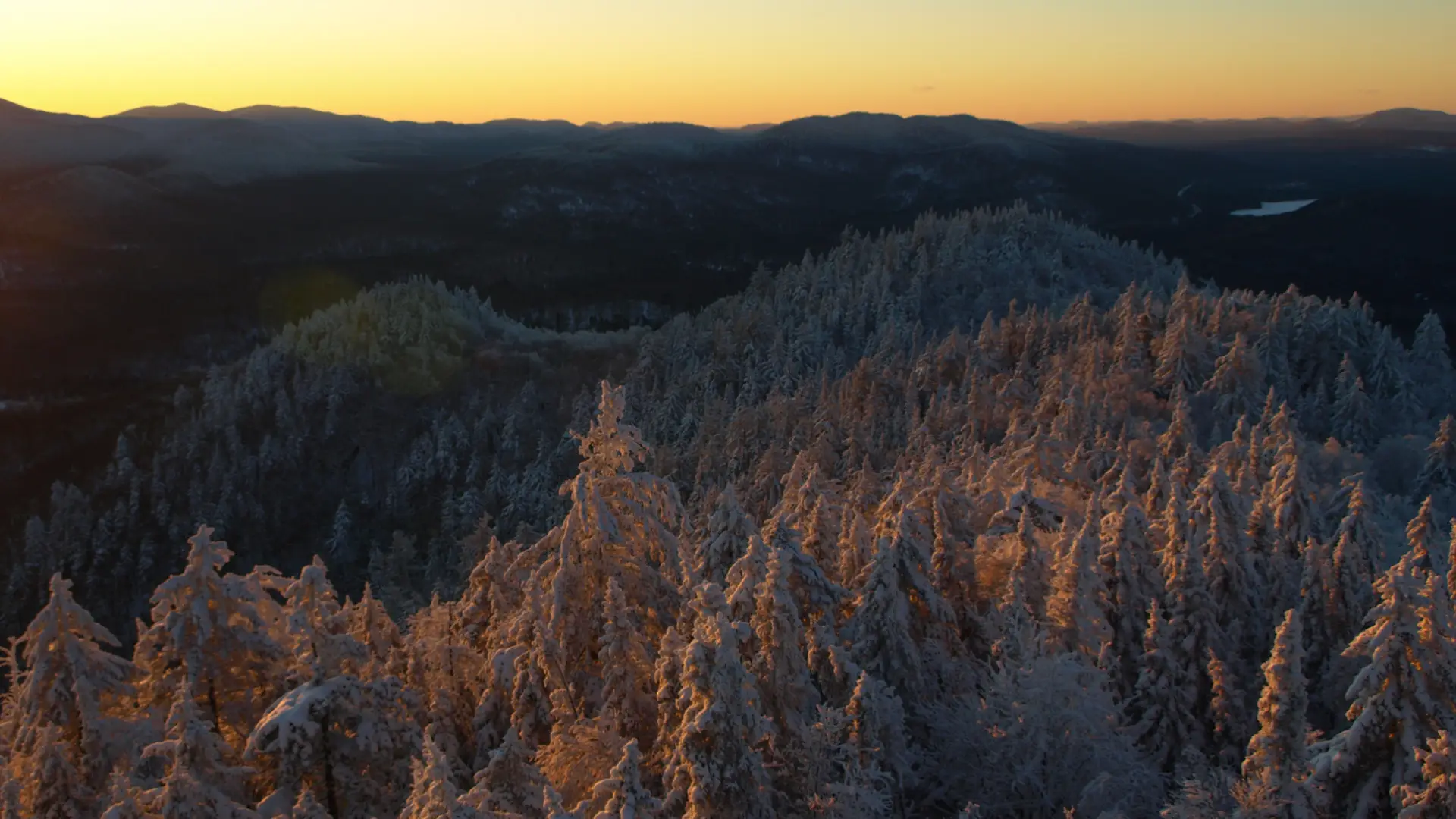
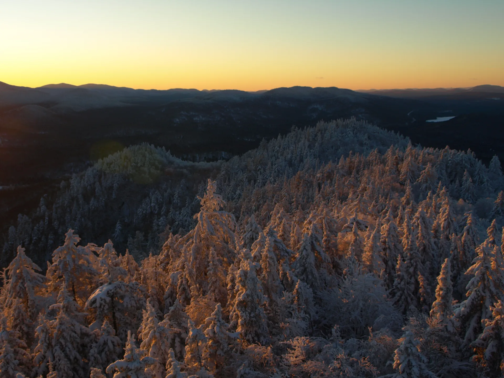
Goodnow in winter
This trail is not recommended for cross-country skiing, but does make for an enjoyable snowshoe. At the fire tower, be extra careful in the winter, as the tower stairs can be very slippery and dangerous. Expect high winds and a serious wind chill from the tower. This trail is heavily used and typically gets broken out relatively fast after a snow storm.
Find your perfect trail
Does Goodnow sound amazing, but a little more than you want to tackle right now? No need to stress, with over 2000 miles of hiking trails in the Adirondacks we are sure we can find the perfect hike for you.
How to get there
From Lake Placid, drive west on Route 86. Continue on to Route 3 in Saranac Lake, to Tupper Lake. In Tupper Lake, take Route 30 south. From the intersection of Route 28N and Route 30 in the Town of Long Lake follow Route 28N toward Newcomb. Continue for about 12 miles to the trailhead on the right.