Round Trip
3.4 miles
5.5 kilometers

Elevation
The height of the summit or destination, from sea level.
2270 feet
691.9 meters

Elevation Gain
The total amount of vertical ascent (uphill climbing) on a hike. This is cumulative gain, totalling the elevation change of the uphill segments from a round-trip hike.
1200 feet
365.8 meters

Route Type
A hiking trail may be classified as a Loop, Out and Back, Point to Point, Bushwhack, or Multi-day Thru Hike, with some destinations having more than one of these ways as a hiking option.
  • Out and Back
Round Trip
3.4 miles
5.5 kilometers

Route Type
A hiking trail may be classified as a Loop, Out and Back, Point to Point, Bushwhack, or Multi-day Thru Hike, with some destinations having more than one of these ways as a hiking option
  • Out and Back
Elevation
The height of the summit or destination, from sea level.
2270 feet
691.9 meters

Elevation Gain
The total amount of vertical ascent (uphill climbing) on a hike. This is cumulative gain, totalling the elevation change of the uphill segments from a round-trip hike.
1200 feet
365.8 meters

Round Trip
3.4 miles
5.5 kilometers

Route Type
A hiking trail may be classified as a Loop, Out and Back, Point to Point, Bushwhack, or Multi-day Thru Hike, with some destinations having more than one of these ways as a hiking option
  • Out and Back
Elevation
The total amount of vertical ascent (uphill climbing) on a hike. This is cumulative gain, totalling the elevation change of the uphill segments from a round-trip hike.
2270 feet
691.9 meters

Elevation Gain
The total amount of vertical ascent (uphill climbing) on a hike. This is cumulative gain, totalling the elevation change of the uphill segments from a round-trip hike.
1200 feet
365.8 meters

The bridge over the Ausable Flume gives an idea of its scope.
View all photos
trail highlights
trail features
trail category
Trail Junctions
Short

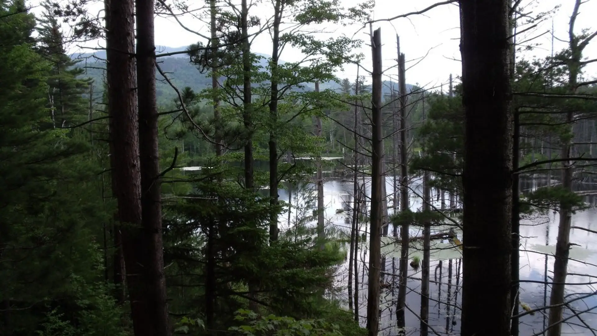
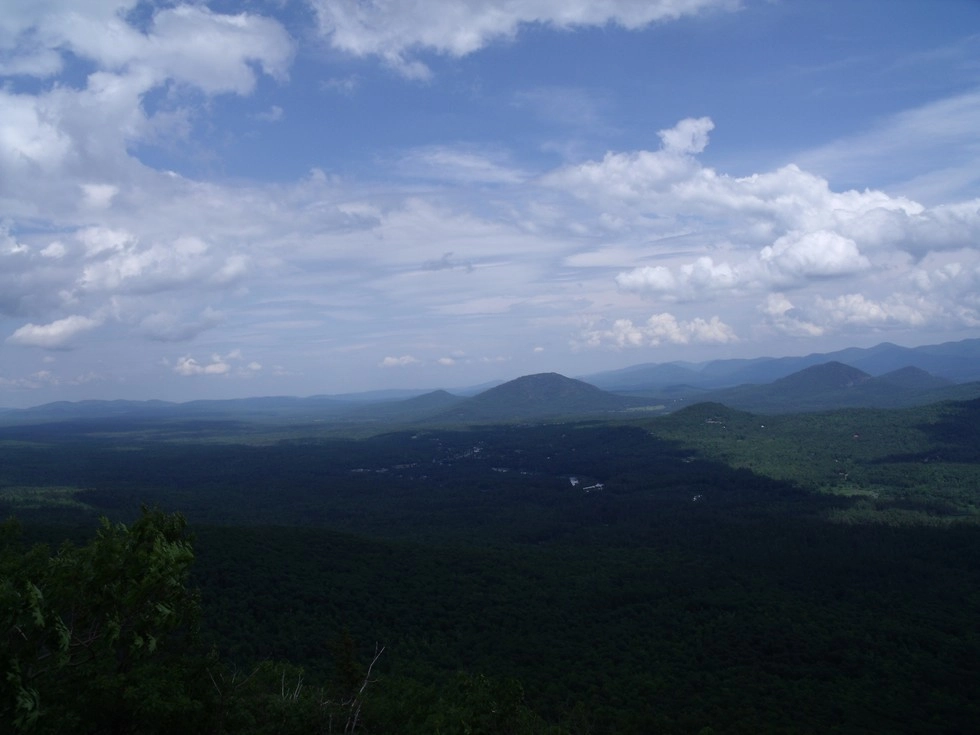
Flume Knob is a small summit cliff with views south of the Sentinel Range and area surrounding the West Branch of the Ausable River. It utilizes mountain biking trails for half of the hike and it is best to carry a map and do prior research before hiking. Hikers should learn about Leave No Trace principles before hiking any trail in the Adirondacks.

Key takeaways

  • Distance: 3.4 miles round trip
  • Elevation gain: 1,200 feet
  • Elevation: 2,270 feet
  • Hike includes trail junctions

Hiking Flume Knob

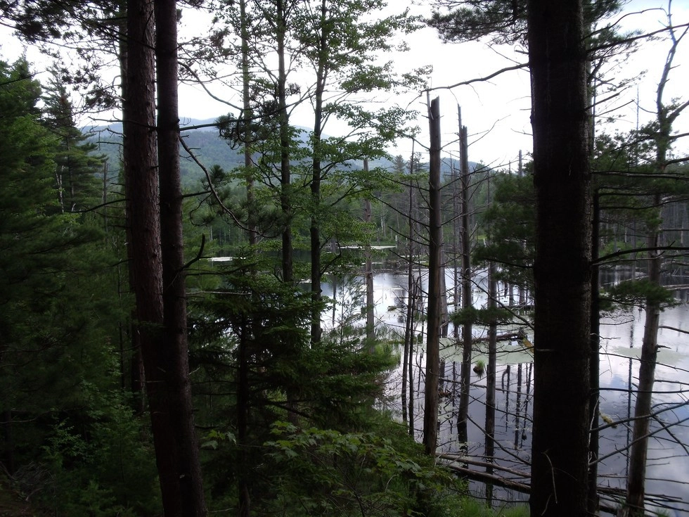
From the trailhead, start by hiking past the kiosk and avoiding the abundant poison ivy that lines the trail. Take your next right that leads uphill along an old road. The top of the hill will bring you along an easy course over some mountain biking trails. Many side trails will come in on both sides of this main trail, be sure to follow the trail to Flume Knob. There will be a major intersection with the Flume Knob Trail that cannot go unnoticed. From this intersection the trail climbs steadily along a somewhat aggressive course. As you climb you will notice slightly washed out areas from heavy rains. The trail continues to move between steep to moderate and back to steep. The summit area, which is a small rocky area, offers outstanding views over Wilmington toward the Jay Range, and south towards the Sentinel Range.

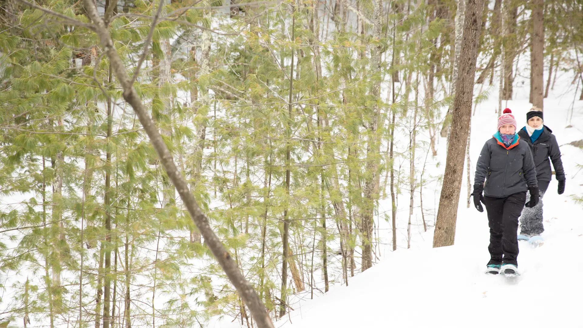
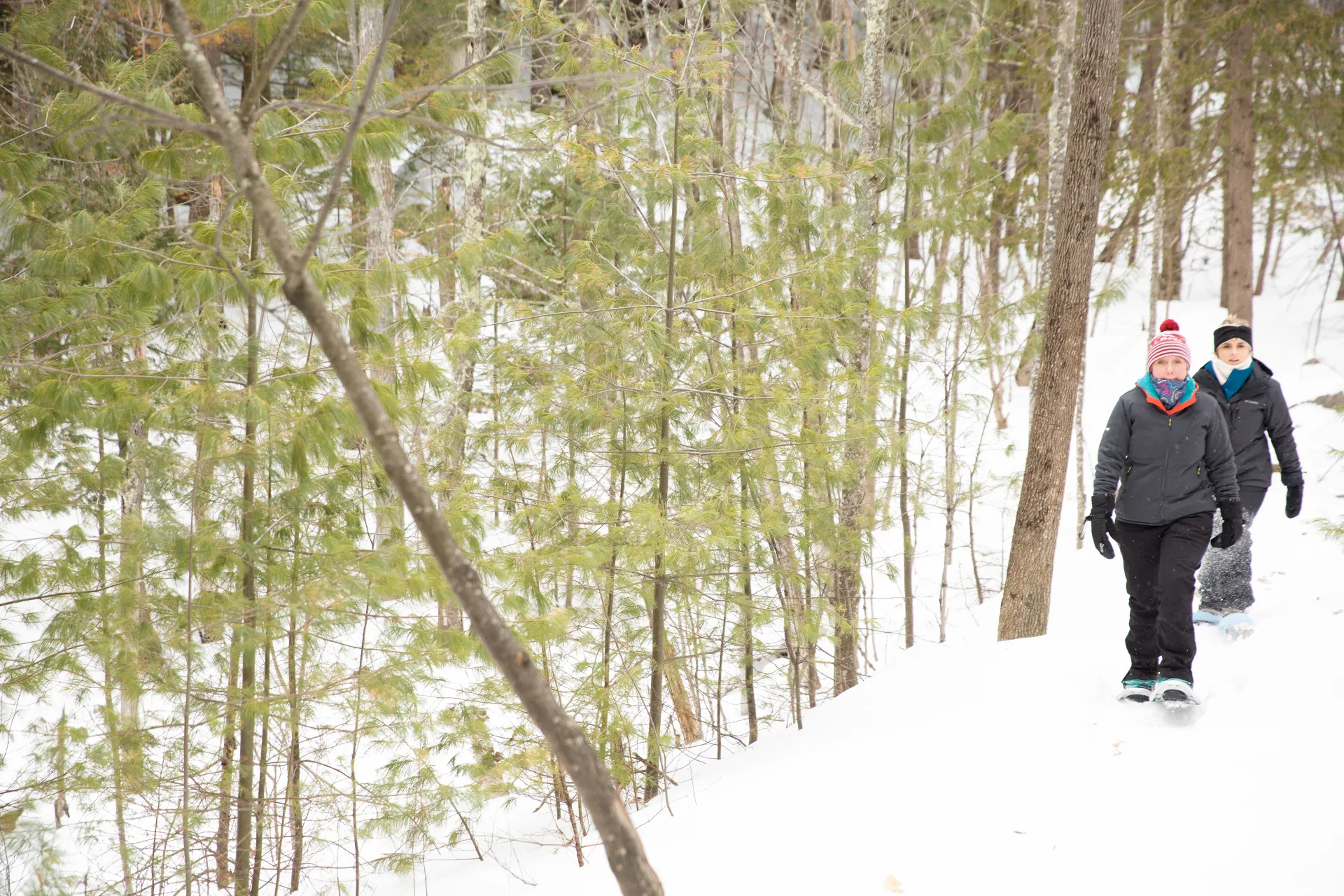
Flume Knob in the winter

The parking lot will be plowed and the trail is suitable for snowshoes, but not cross-country skis. Be prepared for the steeper sections of trail and bring microspikes.

Find your perfect trail in the Adirondack

Does Flume Knob sound amazing, but a little more than you want to tackle right now? No need to stress, with over 2000 miles of hiking trails in the Adirondacks we are sure we can find the perfect hike for you

How to get there

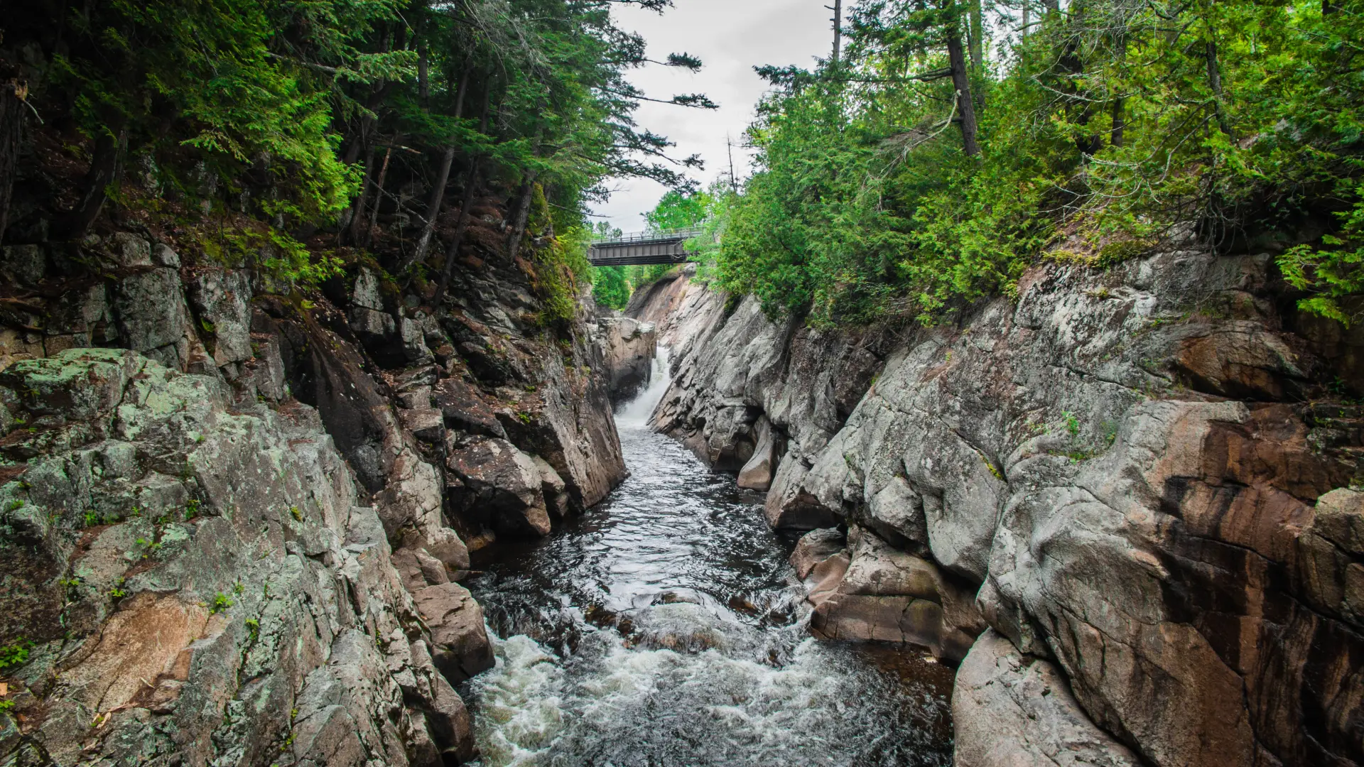
From Lake Placid, follow Route 86 toward Wilmington. After 10 miles, the Flume parking area will be after a bridge on your left.

Emergency Information
If you get lost or injured, remain calm and stay put. If you have cell service, call 911 or the DEC Forest Ranger Dispatch, 833-NYS-RANGERS (833-697-7264).
 
Plan ahead and hike smart. Bring a map, extra food, water, and warm clothing, and check the weather before you go. Stay aware of your surroundings and landmarks. If you get turned around, don’t panic—stop, think, and stay where you are. Let someone know your route and expected return time.