- Out and Back
- Out and Back
- Out and Back


About
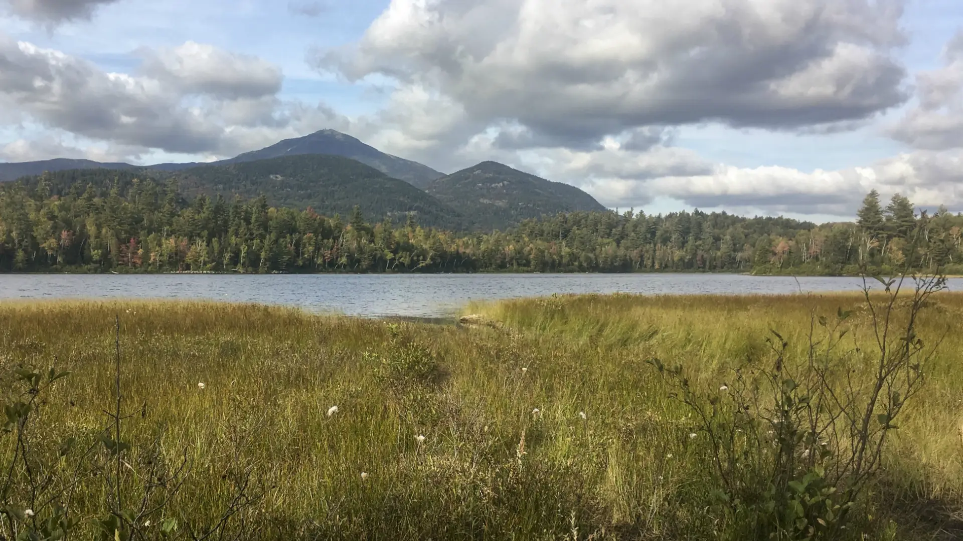
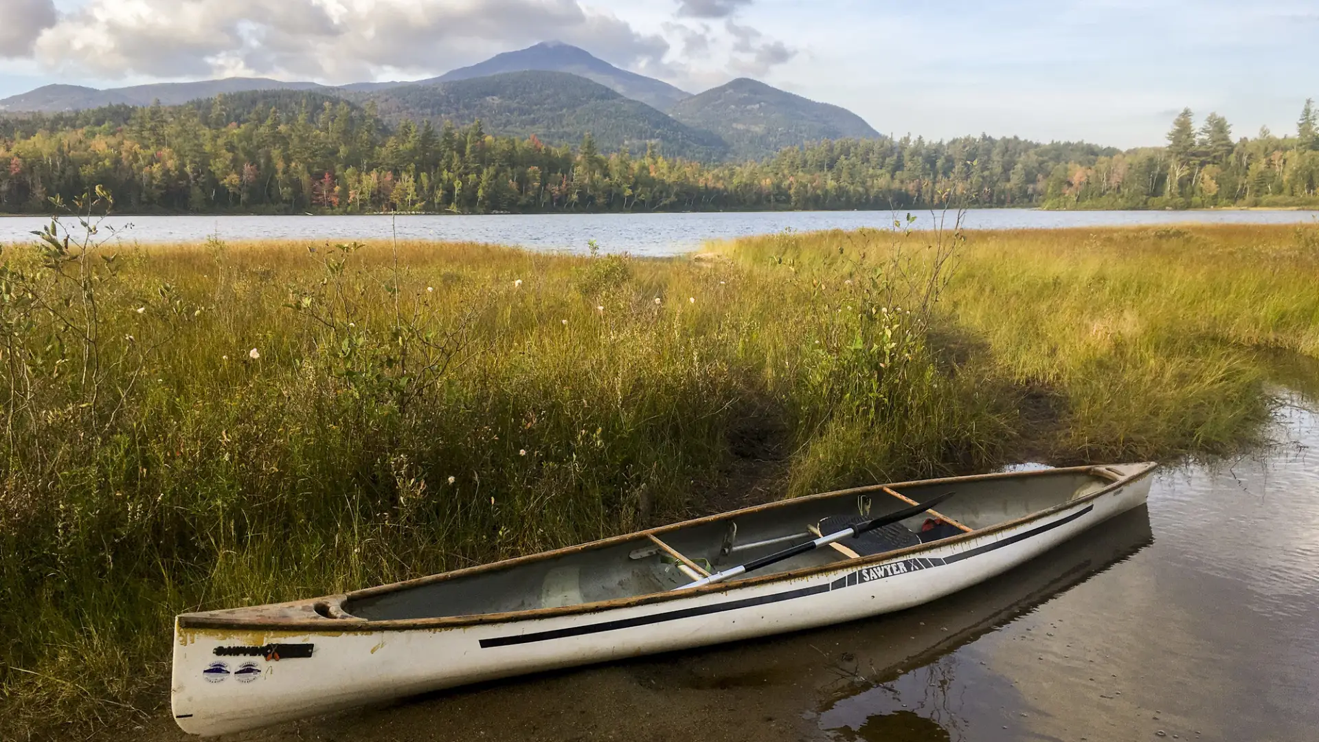
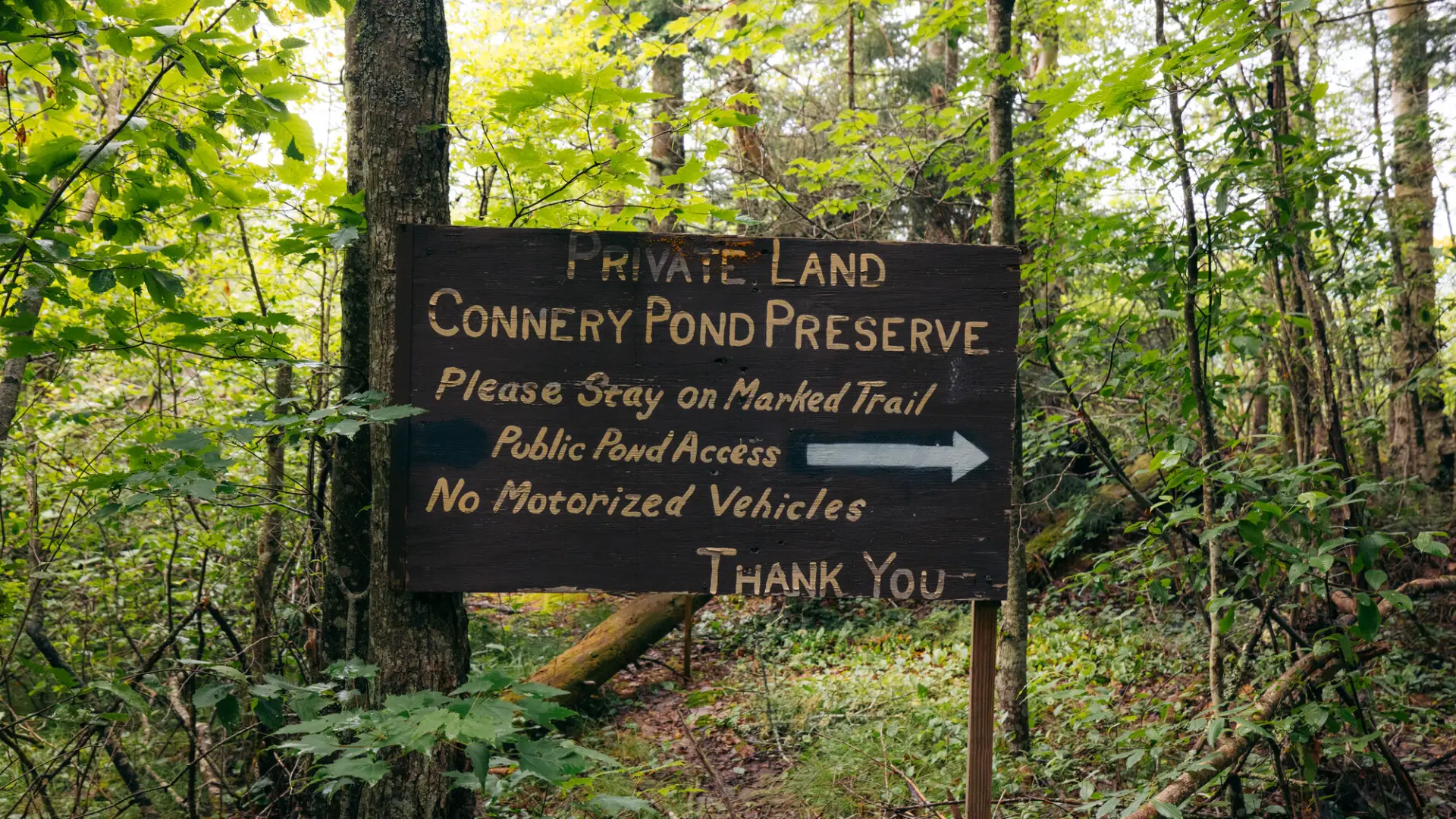
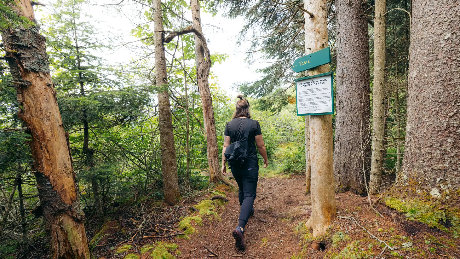
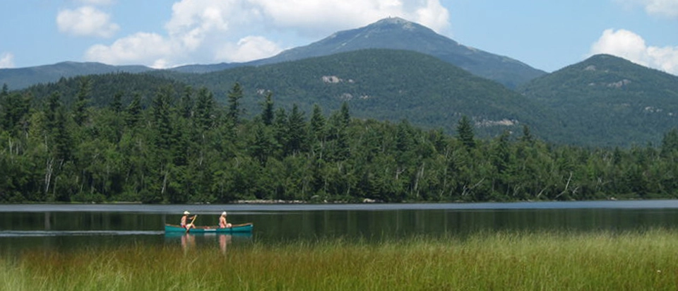
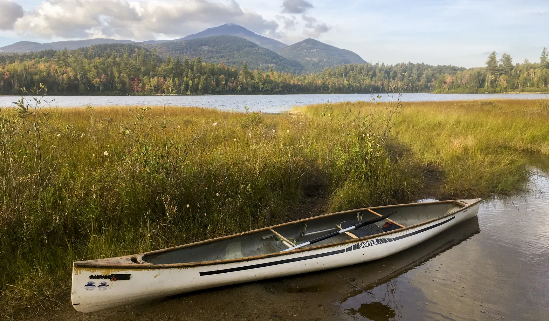
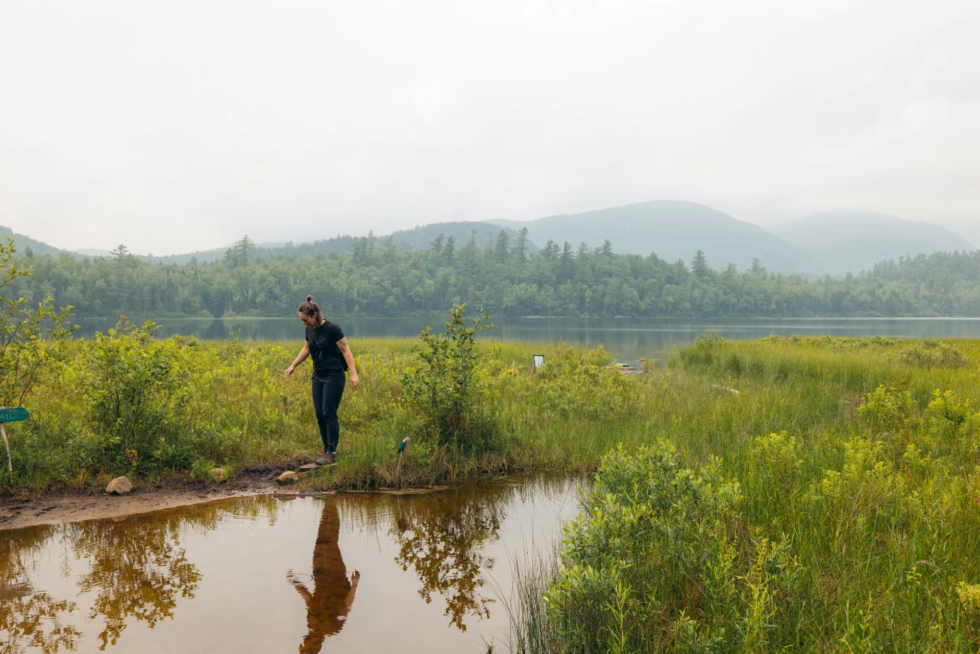
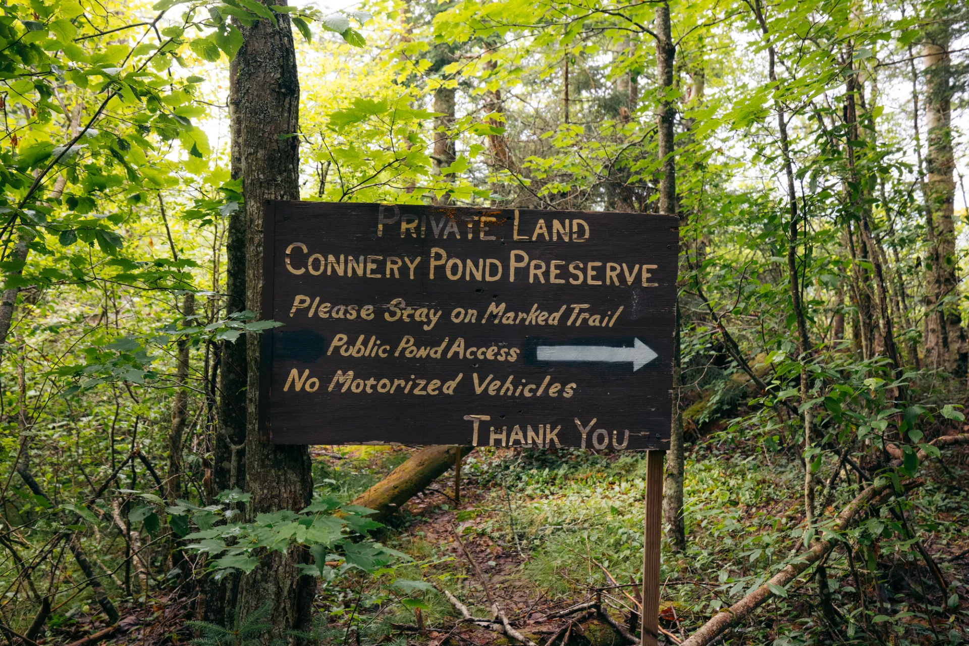
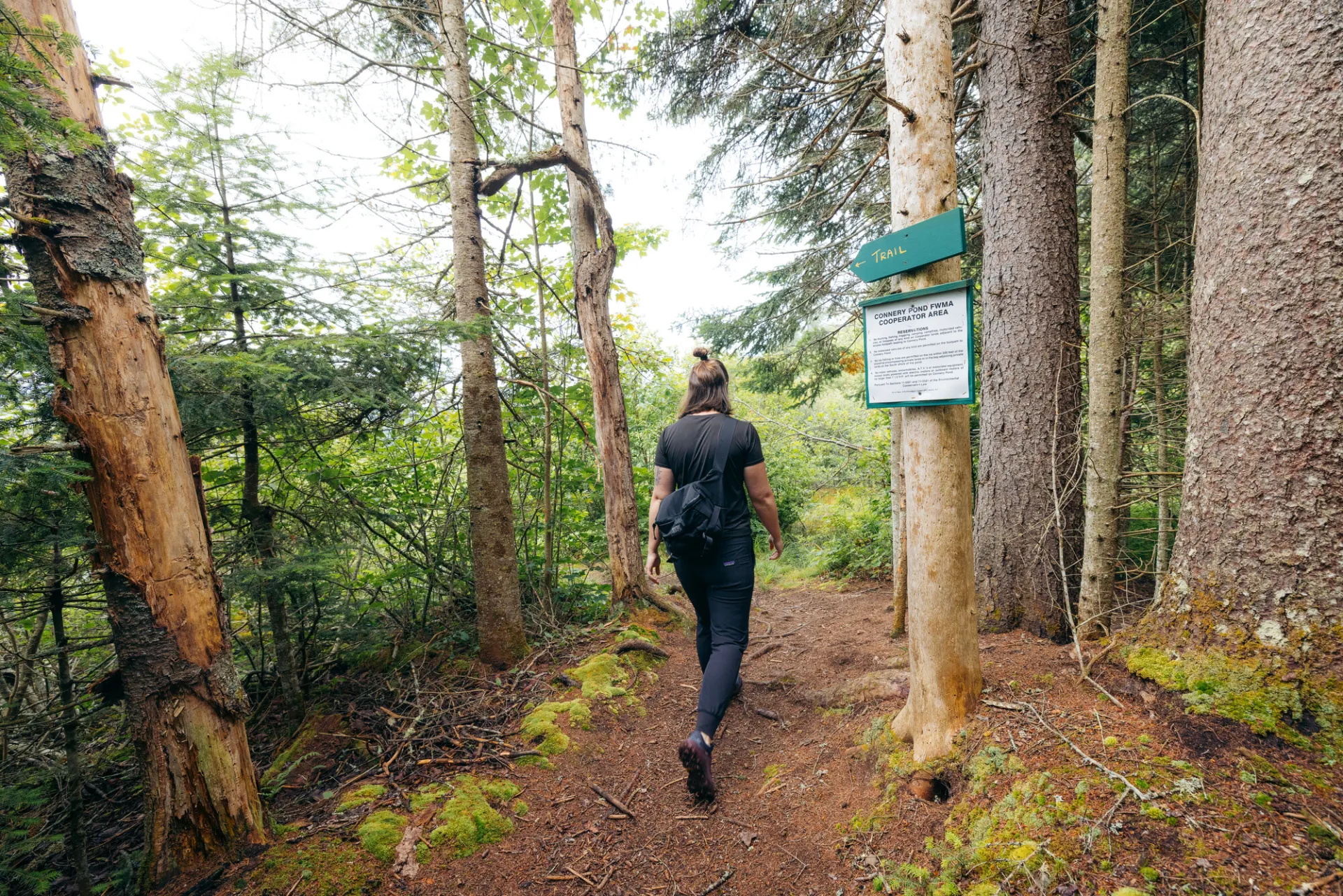
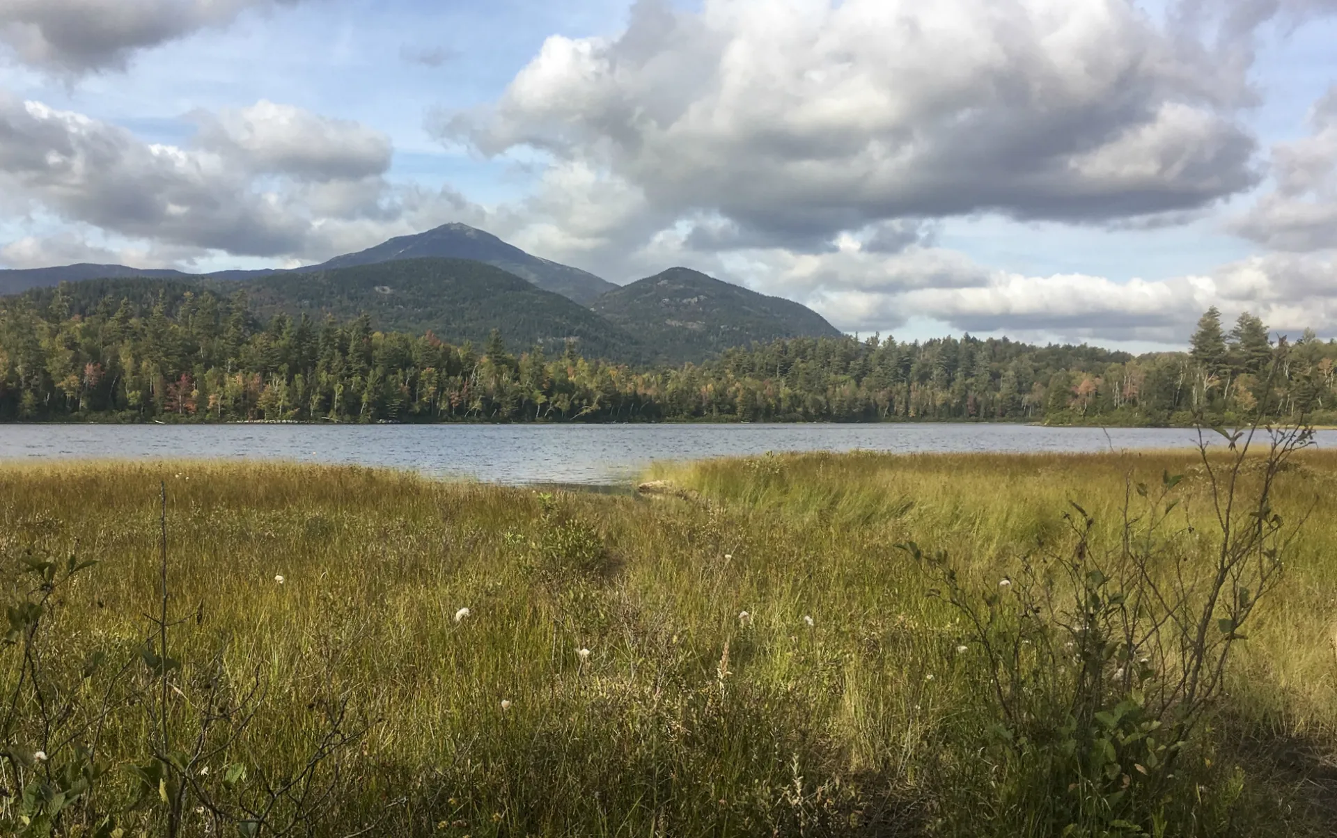
A portage trail leads to the shore of Connery Pond, where there is an amazing vista across the water that includes Whiteface Mountain. Be careful, this area is surrounded by private land, stay on the trail.
Key takeaways
- Distance: 1.6 miles round trip
- Elevation gain: 50 feet
- Based on walking in from large parking area by the bridge
Hiking to Connery Pond
From the large parking area, walk the newer trail that parallels the road, before reaching the dirt drive that leads to the pond. There is a portage trail here that leads to the shore of the pond, where there is an amazing vista across the water that includes Whiteface Mountain.
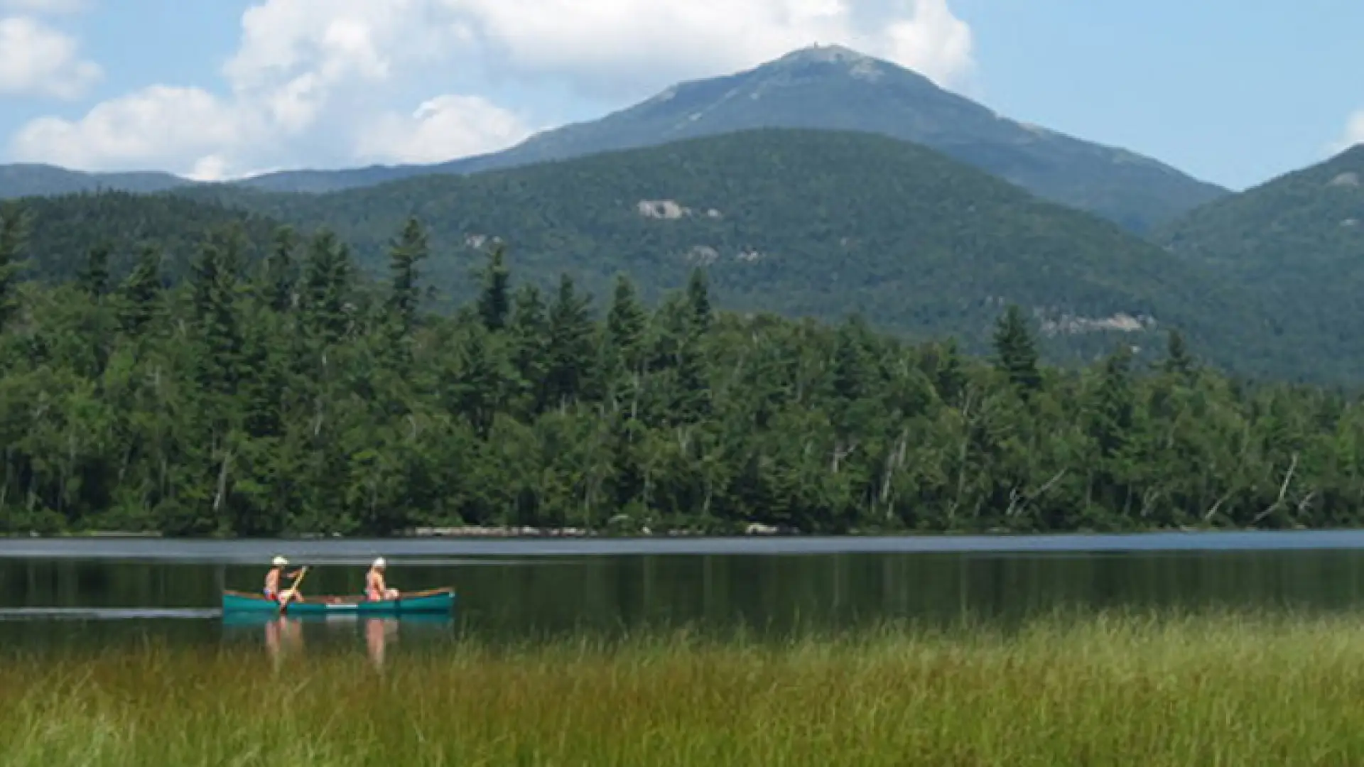
Paddling
The carry is a bit narrow with odd footing, but is a short distance where conditions are less of an issue. A boat that drafts less water can be put in at the outlet, part way up the carry trail, but it is typically too shallow, especially in late summer and fall. The launch area at the outlet can be very wet where careful footing is needed. While out on the lake be sure to look for Great Blue Herons fishing in the grassy shallows and Red-winged Blackbirds at the north shore. There is typically a large duck population on this pond and moose tracks have been seen along the shore. Common Loons frequent the water but be sure to give them their space, especially if a nest is nearby.
Fishing and ice fishing
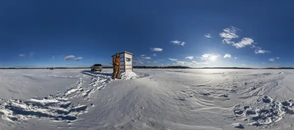
This 81-acre pond, located in the McKenzie Mountain Wilderness Area and the Saranac Lakes Wild Forest, is listed by the New York State Department of Environmental Conservation as one of Essex County’s top brown trout waters. You’ll also find splake, yellow perch, sunfish and pumpkinseed. Motors are not allowed. This pond is one of the first to freeze in the winter, offering earlier access to the yellow perch.
Connery Pond in the winter
This is a great option for an introductory snowshoe, but you will likely need to take them off on the road. Being prepared is necessary for any winter hike.
Find your perfect trail near Lake Placid
Want to find another perfect hike? Lake Placid has so many more trails waiting for you!
How to get there
From the intersection of state Route 73 and 86 in Lake Placid, follow Route 86 toward Wilmington. Continue for a little over three miles to the large parking area on Route 86, just before you cross the bridge.
Other Features
Fish Species
 Brown Trout
Emergency Information
Related Content
Lake Placid is the perfect place to get close to the mountains, so you might be surprised to learn there aren't any ice fishing opportunities in the lake-side village. I reached out to the regional state Department of Environmental Conservation...