- Out and Back
- Out and Back
- Out and Back


About
Hiking New York state's 45th highest peak
Blake Peak, while one of the shorter Adirondack High Peaks, is still a serious undertaking with significant elevation gain and mileage. A successful ascent of Blake requires research, prior High Peaks experience, physical fitness, proper gear, and knowledge of Leave No Trace principles.
Key takeaways
Distance: 13.8 miles round trip
Elevation: 3,960 feet
Elevation gain: 4,100 feet round trip
Hike includes a road walk, steep ladders, steep rocky sections, and trail junctions
Based on the approach from AMR, using the Gill Brook trail
Hiking the Gill Brook Trail to Blake Peak
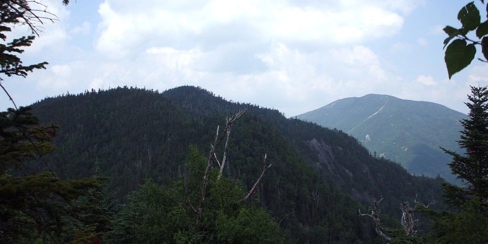
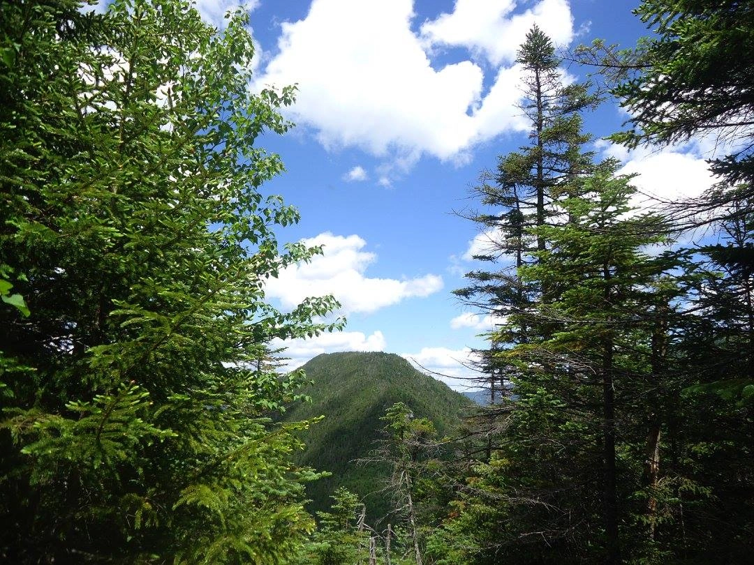
Blake was named after Mills Blake, Verplank Colvin’s assistant during the great survey of the Adirondack Park. Although Blake falls short of the 4,000-foot mark, tradition keeps Blake on the list of 46 High Peaks. Blake offers limited views from its wooded summit, but the approach has several viewpoints.
You climb Blake with Mount Colvin almost 100% of the time, since you have to climb Colvin to reach Blake from the AMR. This approach is on private land owned by the Adirondack Mountain Reserve, and bringing your dog on hikes from here is prohibited. Below describes the approach from the AMR, using the Gill Brook Trail. Another way to hike Blake Peak is from Elk Lake, but it is longer, more challenging, less trafficked, and should be considered only by expert hikers. Additionally, a seldom-used way of hiking Blake is via the "Elevator Shaft", which descends from the Col between Colvin and Blake to Upper Ausable Lake, connecting with Sawteeth. If you decide to go via Elk Lake or use the Elevator Shaft, do extensive research, understand that these hikes are for experts only, and consult with a local hiking information center.
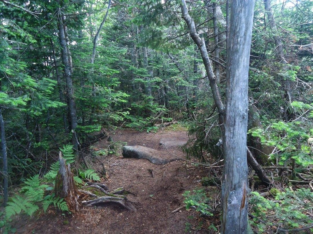
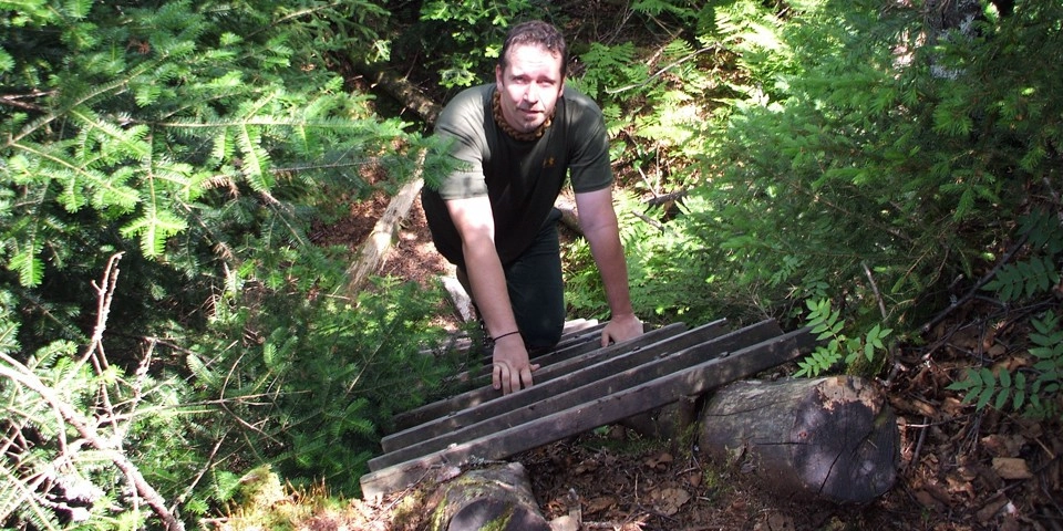
The hike starts along a gravel road that becomes paved next to a golf course. At 0.5 miles from the parking area, turn left and down between two tennis courts on Lake Road Way to the entrance station and register 0.6 mi. from the parking area. Just beyond is an elaborate wooden gate; continue along a dirt road for another 2 miles before turning left onto the Gill Brook trail. The trail starts off moderate but gets steeper in sections. The final approach to Mount Colvin (which you have to climb first, before Blake) gets very steep. After taking in the views from Colvin, you will work your way along the ridge, then descend steeply into the col with Blake. The climb out of the col is very steep as well and in poor condition. You will encounter ladders and steep rock slabs.
The summit of Blake is wooded and offers no views, but for those with the energy, continuing 0.4 miles beyond the summit marker offers a view.
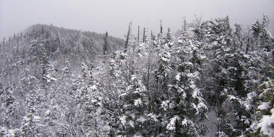
Blake Peak in the winter
Blake is a challenging peak in the winter. The trail to Colvin will likely be broken out, but the path to Blake may not be. Be prepared with microspikes, crampons, and snowshoes. The tall ladder on the route to Blake from Colvin is especially challenging, and some steeper sections on Blake can be covered in ice.
Find your perfect trail near Keene, NY
Does Blake Peak sound amazing, but a little more than you want to tackle right now? No need to stress; with over 2000 miles of hiking trails in the Adirondacks, we can find the perfect hike for you.
How to get there
AMR Trailhead: Leave Lake Placid on Route 73, follow it through Keene and Keene Valley, and into Saint Hubert’s. Parking is across the road from the Roaring Brook Falls Trailhead for Giant Mountain.
Emergency Information
Related Content

Ready to hike in the High Peaks? There is no set way for how to become a 46er, but there is a R.I.G.H.T. way.

Lake Placid, NY is home to short hikes, moderate hikes, and longer hikes, making us the perfect hiking destination for any hiker! Read these hiking safety and etiquette tips that will keep you safe and happy on the trails this summer!


