- Out and Back
- Out and Back
- Out and Back


About
Hiking New York's 17th highest summit
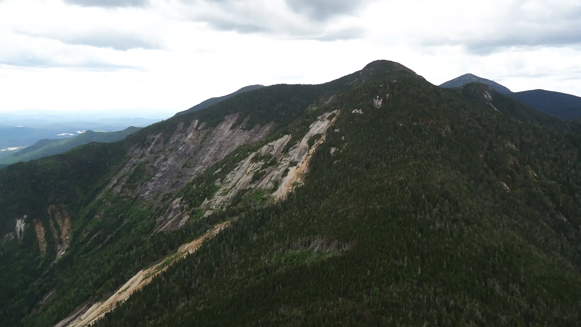
Saddleback is the 17th tallest of the Adirondack 46 High Peaks. It is a long, steep, serious hike that requires significant preparation. A successful hike of Saddleback Mountain involves research, physical fitness, the right gear, and knowledge of Leave No Trace principles. This is a very demanding climb, and often paired with Haystack and Basin.
*If hiking from AMR (St Huberts), this hike will require a parking reservation from May 1 - October 31. Please plan accordingly. Visit www.HikeAMR.org for more information and to reserve your parking spot.*
Key takeaways
- Distance: 12.6 miles round trip
- Elevation: 4,515 feet
- Elevation gain: 3,325 feet from Johns Brook Valley
- Hike includes trail junctions, an exposed summit, bridges, and ladders
Hiking Saddleback Mountain
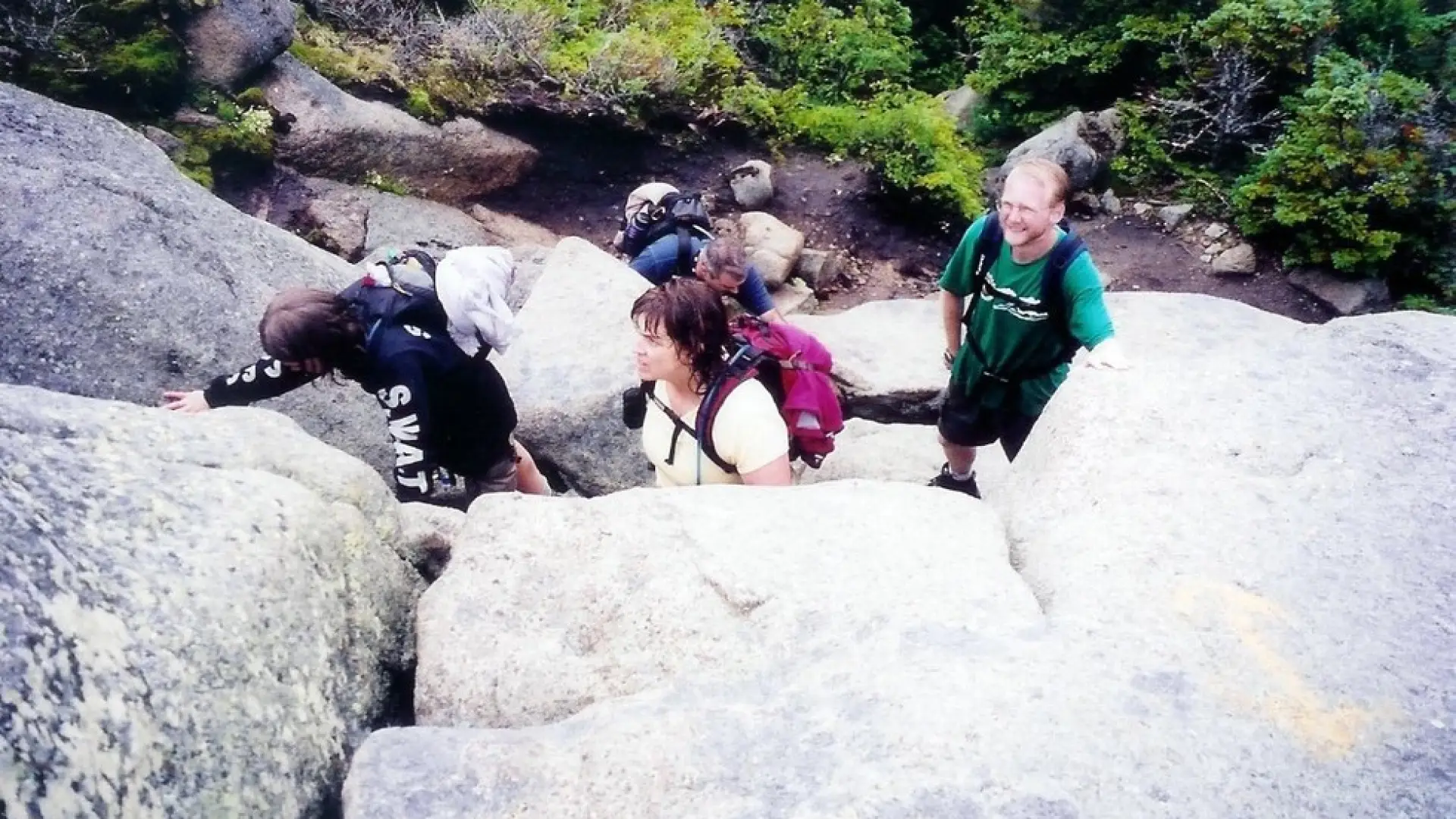
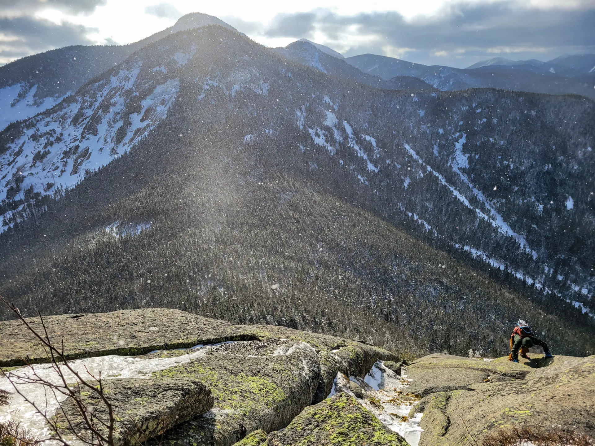
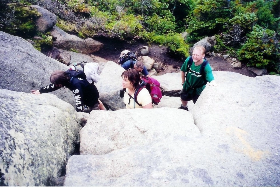
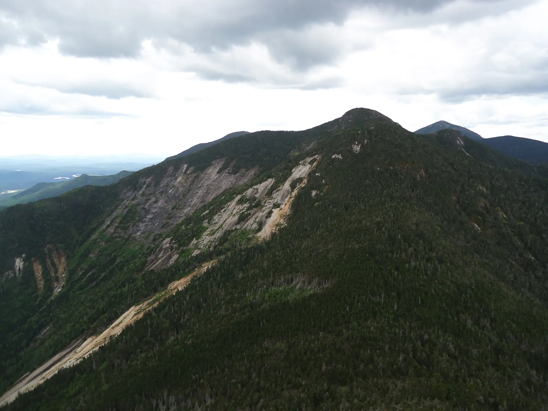
There is a very demanding section on the backside of Saddleback known as the Saddleback Cliffs. This short section requires the use of your hands to climb up a section of rock. The route described below is the most direct route and while steep does not involve any cliff climbing.
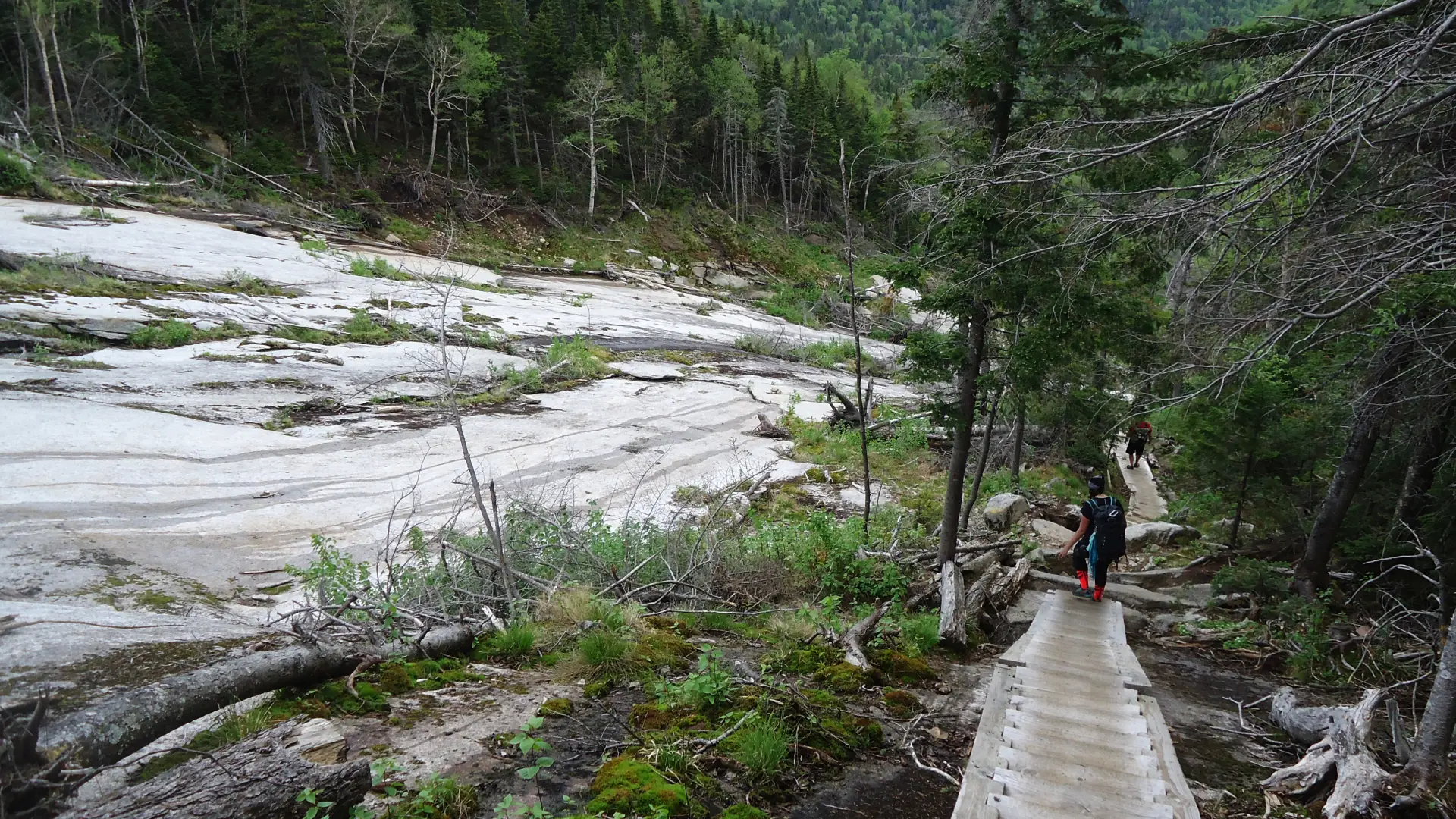
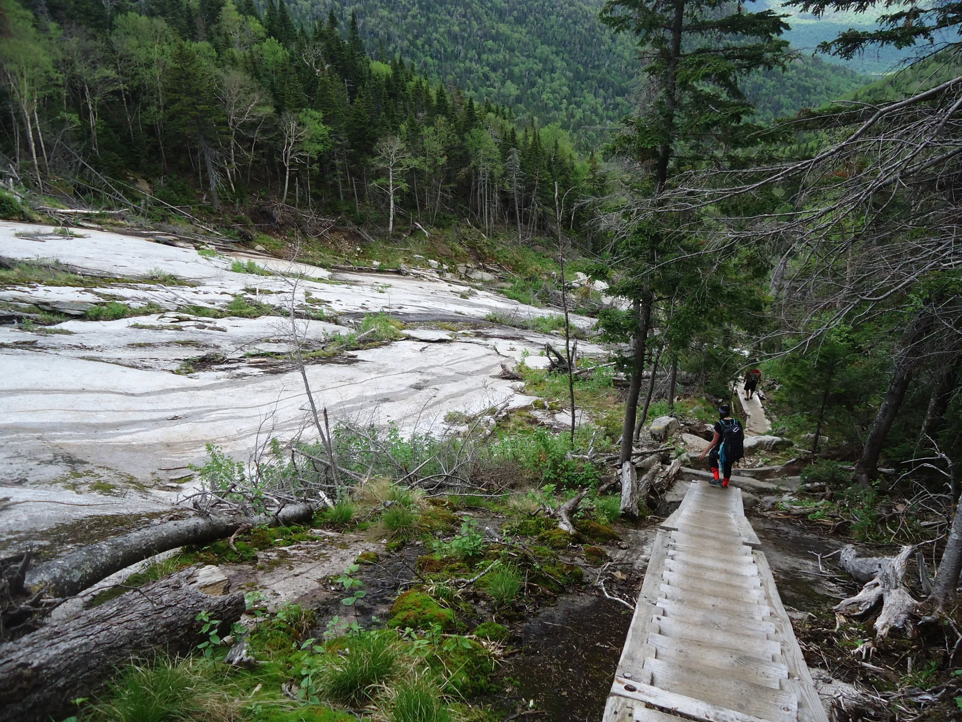
From the Garden Parking area you will be hiking along a portion of rolling hills till you drop steeply into Johns Brook Valley at 3.0 miles. Making a right into the valley you will continue a bit further to Johns Brook Lodge. Just past Johns Brook Lodge is a trail on the left that drops down to cross Johns Brook and the Ore Bed Brook, this can be tricky in high water situations.
This short section of trail will bring you to five corners. The Ore Bed Trail that leads up to the Great Range Trail is the one to the right. Straight is Wolfjaw Notch, angling left is Short Job, left is back to the Garden along the Southside Trail. The Ore Bed Trail is very straight forward, but bit demanding. The first portion is along a well-used trail, but the upper portion is comprised of steps and ladders that have been put into place to make the slide area safer. The top of the Ore Bed Trail leaves you between Gothics (left) and Saddleback (right). Head right and continue a steep climb over a false summit of Saddleback to the true summit of Saddleback.
The Cliffs are on the opposite side, heading toward Basin. If you are doing a traverse, and start with Saddleback, you will descend the cliffs, which may not be favorable due to their steepness.
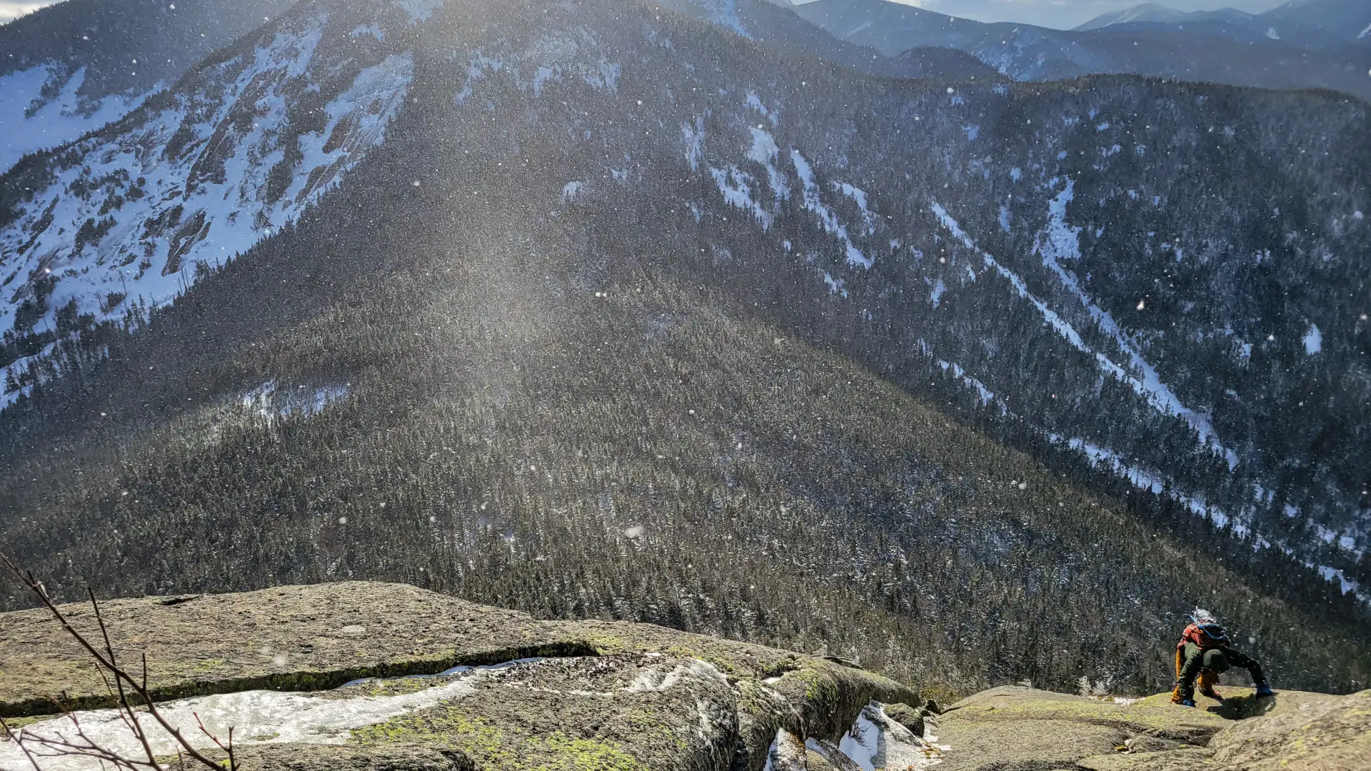
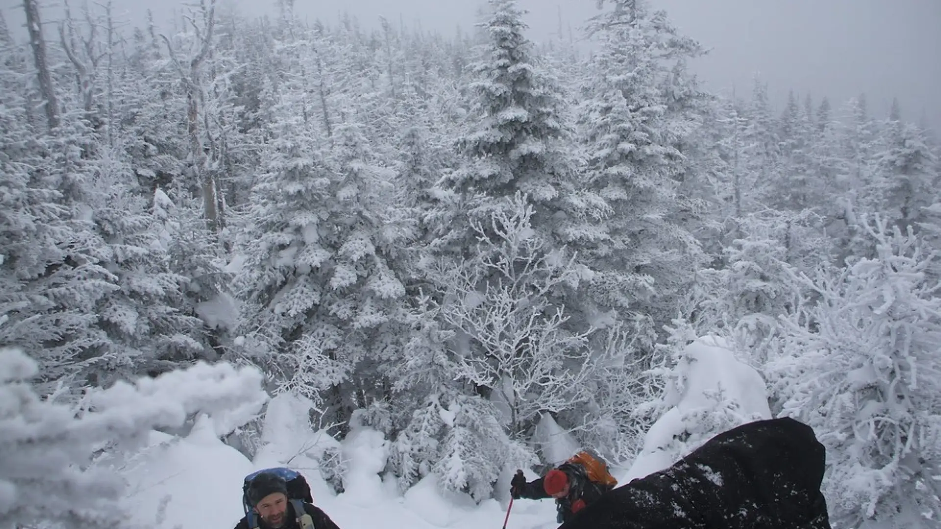
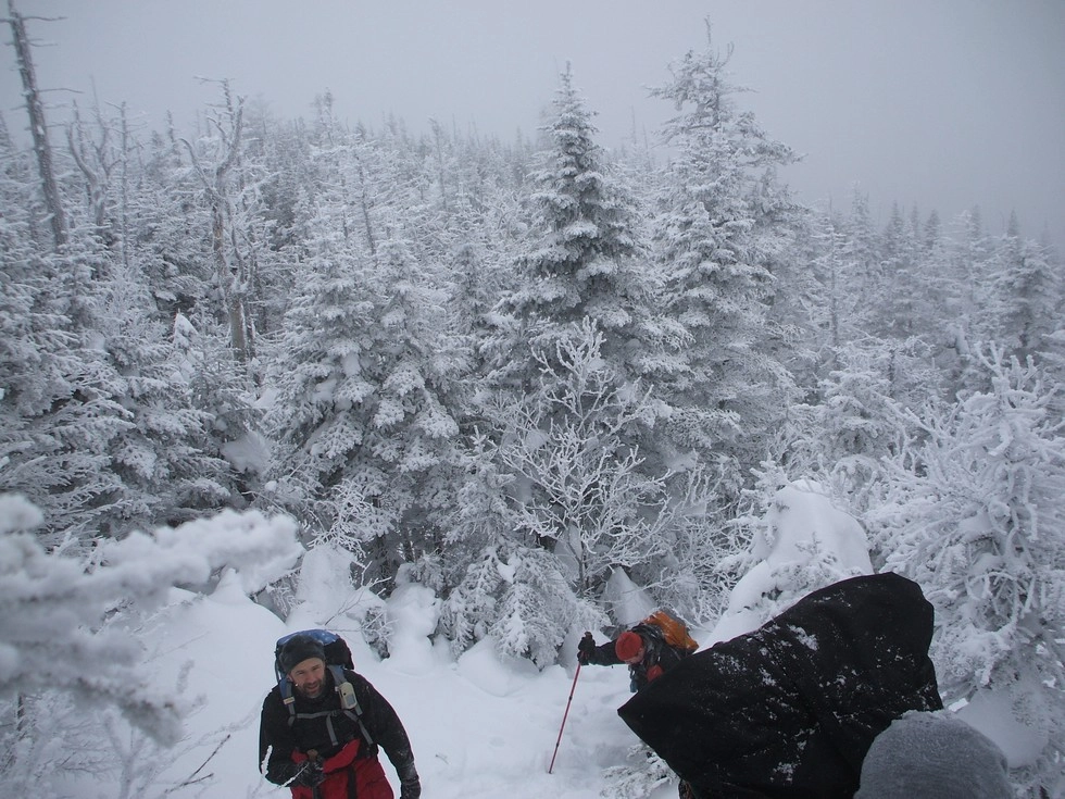
Saddleback in the winter
Saddleback is a challenging mountain that should only be attempted by experienced hikers, especially in winter, so make sure you are prepared. Snowshoes are necessary, and microspikes and crampons are needed to climb the exposed upper reaches of the peak. Many bring an ice axe. Plan on temperatures in the higher elevations being at least 20 degrees colder than at the trailhead, not including the windchill. Bring several extra non-cotton layers, a headlamp with spare batteries, extra food, a windbreaker, goggles, a face mask, and supplies for spending the night in case of an emergency. There is a water crossing over Johns Brook. Crossings can be especially dangerous during the beginning and end of winter. Always use caution at water crossings. Turning around is always an option. If you decide to do the Saddleback Cliffs, ascending them in the winter is the better option, but still dangerous if covered in ice.
Find your perfect trail near Keene Valley
Does Saddleback sound amazing, but a little more than you want to tackle right now? No need to stress, with over 2000 miles of hiking trails in the Adirondacks we are sure we can find the perfect hike for you.
How to get there
Leave Lake Placid on Route 73, heading east toward Keene and Keene Valley. After about 19 miles, in downtown Keene Valley, turn right at the large wooden DEC sign for the Garden parking lot. This turn is also about 12 miles from Exit 30 on I-87. There is a fee to park at the Garden. Parking here is limited and the lot fills up early most weekend mornings, especially in summer.
Emergency Information
Related Content

Ready to hike in the High Peaks? There is no set way for how to become a 46er, but there is a R.I.G.H.T. way.