- Out and Back
- Out and Back
- Out and Back


About
Hiking New York's 9th highest summit
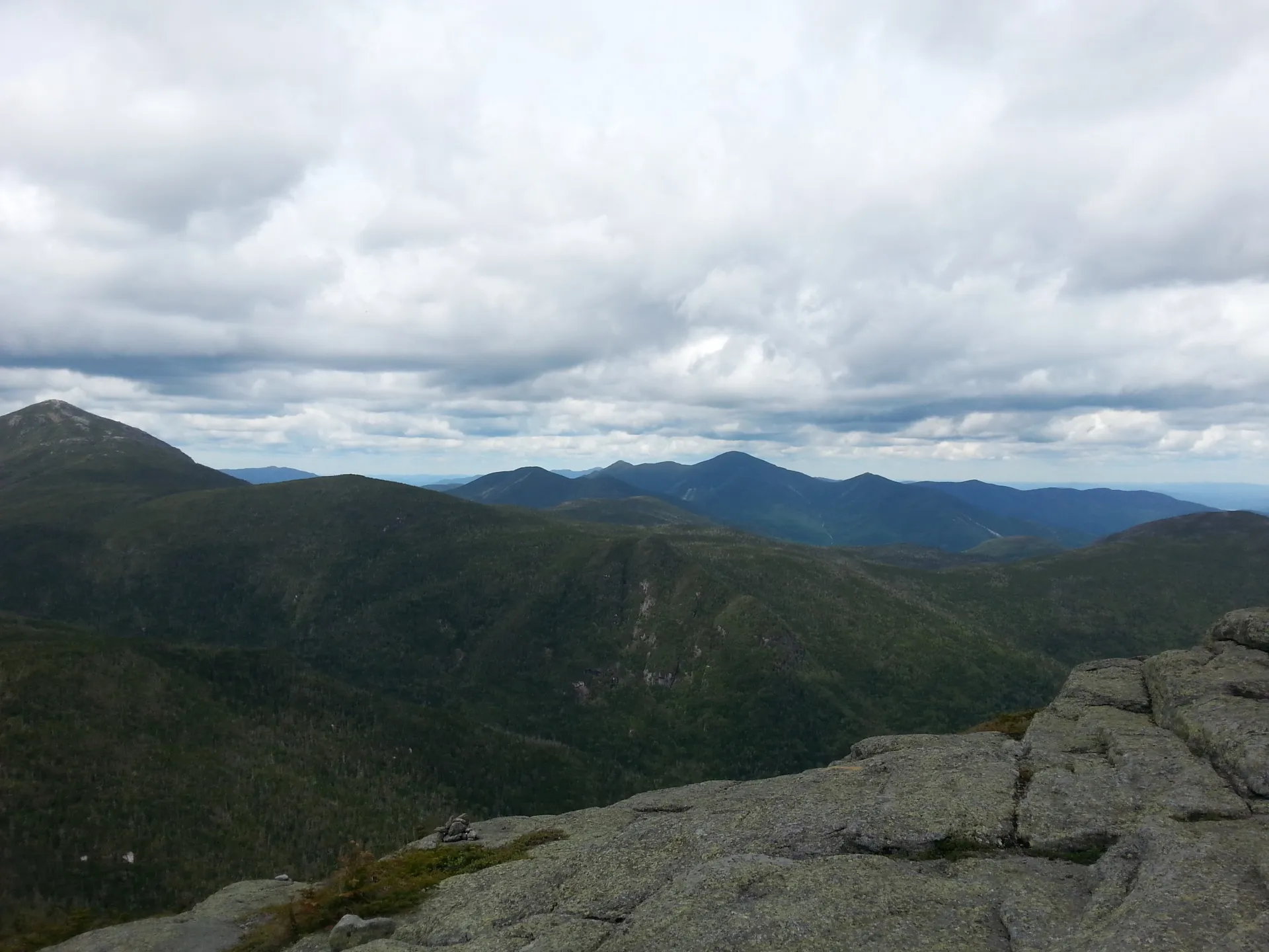
Basin is the 9th tallest of the Adirondack 46 High Peaks. It is a long, steep, serious hike that requires significant preparation. A successful hike of Basin Mountain involves research, physical fitness, the right gear, and knowledge of Leave No Trace principles. This is a very demanding climb, and often paired with Haystack and Saddleback.
*If you are doing Basin as part of a Great Range loop from AMR, this hike will require a parking reservation from May 1 - October 31. Please plan accordingly. Visit www.HikeAMR.org for more information and to reserve your parking spot.*
Key takeaways
- Distance: 16 miles round trip
- Elevation: 4,827 feet
- Elevation gain: 4,250 feet
- Based on a hike from the Garden via the Phelps Trail and Shorey's Shortcut
- Hike includes trail junctions, steep rock slab, water crossings, an exposed summit, and ladders
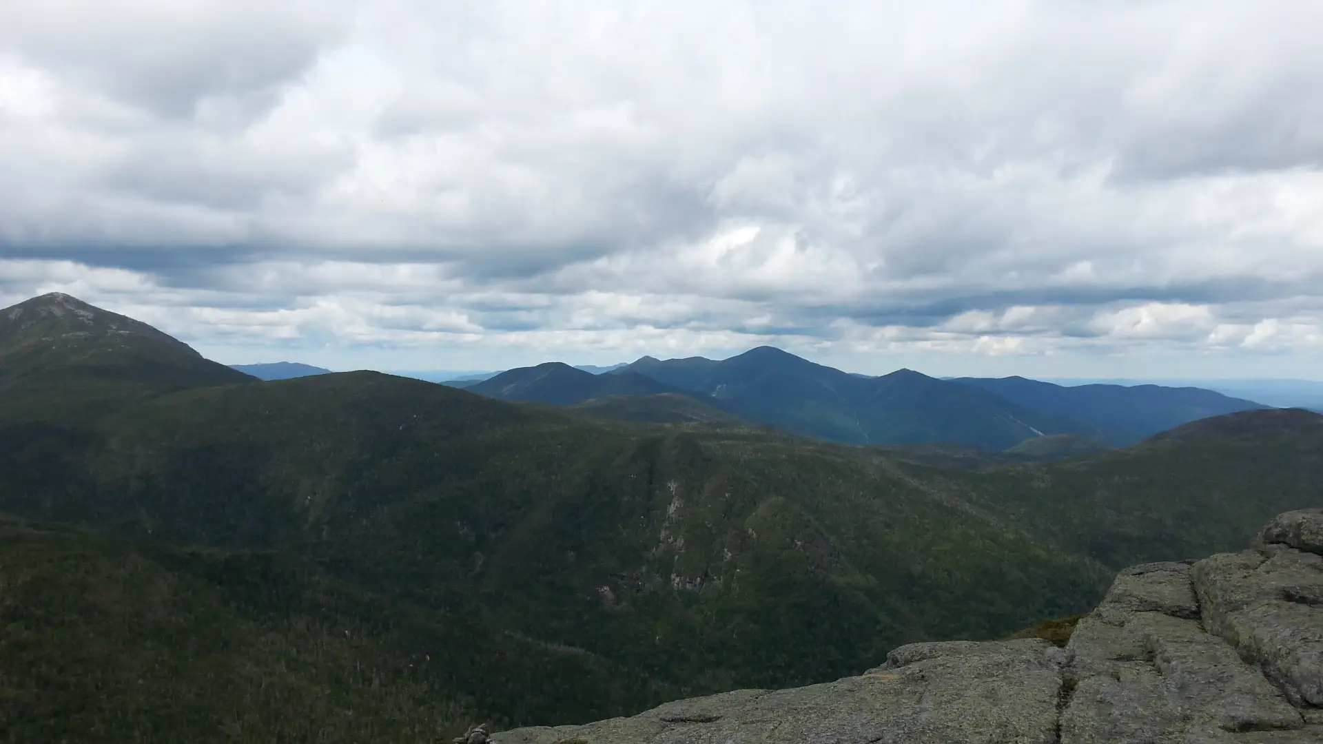
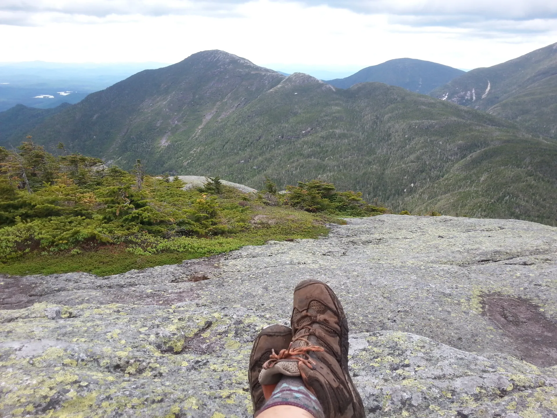
Hiking Basin Mountain
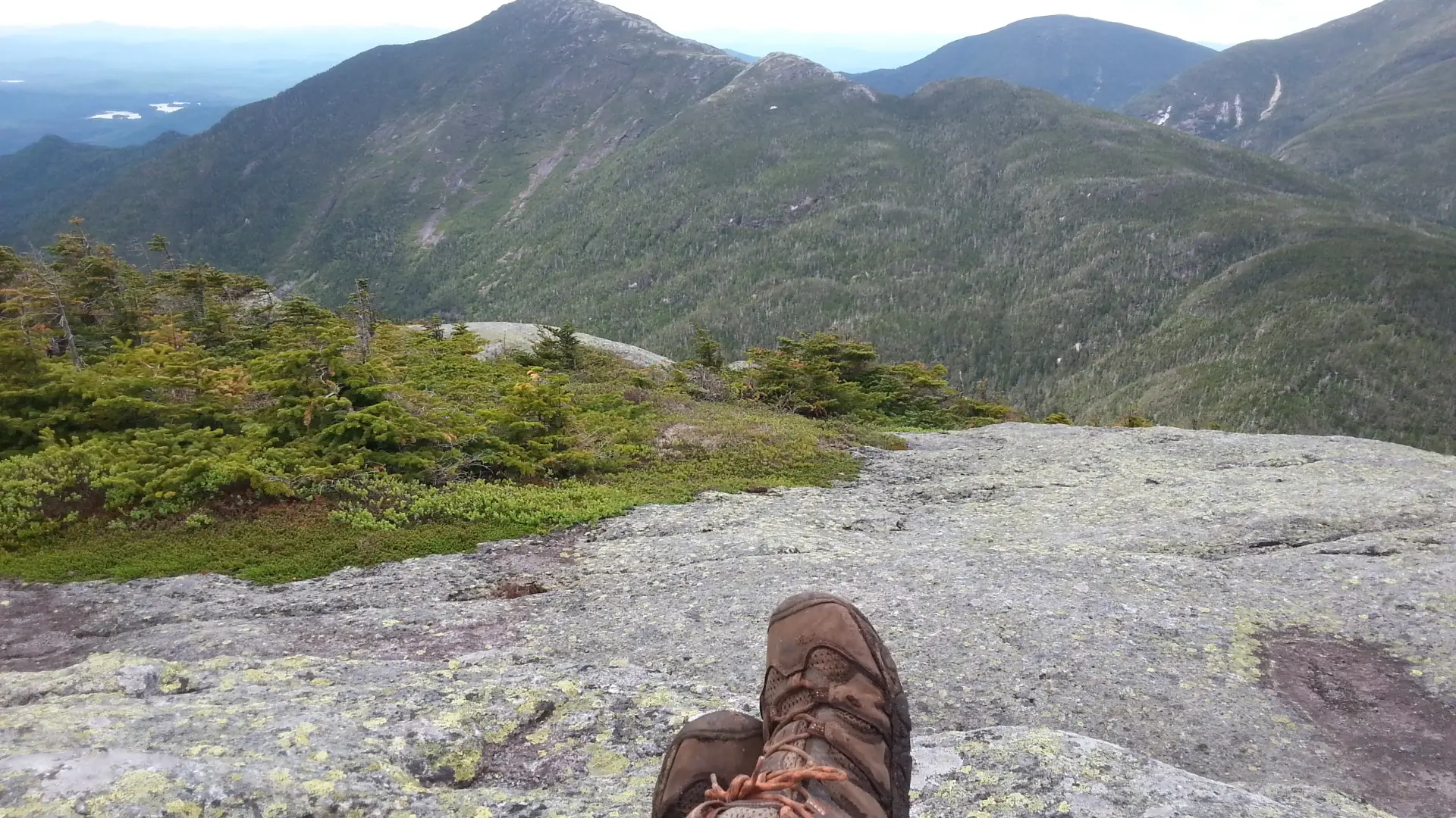
From the Garden Trailhead you will have a mellow snowshoe for the first 3.5 miles to Johns Brook Lodge. From JBL continue straight toward Bushnell Falls. Continue past Bushnell Falls and pass by Slant Rock as well. Just past Slant Rock, Shorey Shortcut comes in on your left. The section of trail is really no shortcut as it is a demanding section of trail with a serious descent at the end. You gain and lose a ton of elevation just getting to the base of Basin. You can either take the "short cut" or continue on the State Range Trail, which will lead you to a stunning view before you turn and head toward Basin. Turning for Shorey's, you'll immediately start climbing, with some narrow trail sections, and spots with deep mud and blowdown. You'll reach the height of land, then drop back down to an intersection. From the base of Shoreys, take a left to Basin. The climb from here is relentless, and some of the steepest you can encounter in the High Peaks, with one well-known steep ladder. You will eventually come to the open summit. The trail to Saddleback heads right over the summit. It is shorter and less time consuming to just go over Saddleback rather than retrace your steps, but the Saddleback cliffs are steep, exposed, and not for the inexperienced.
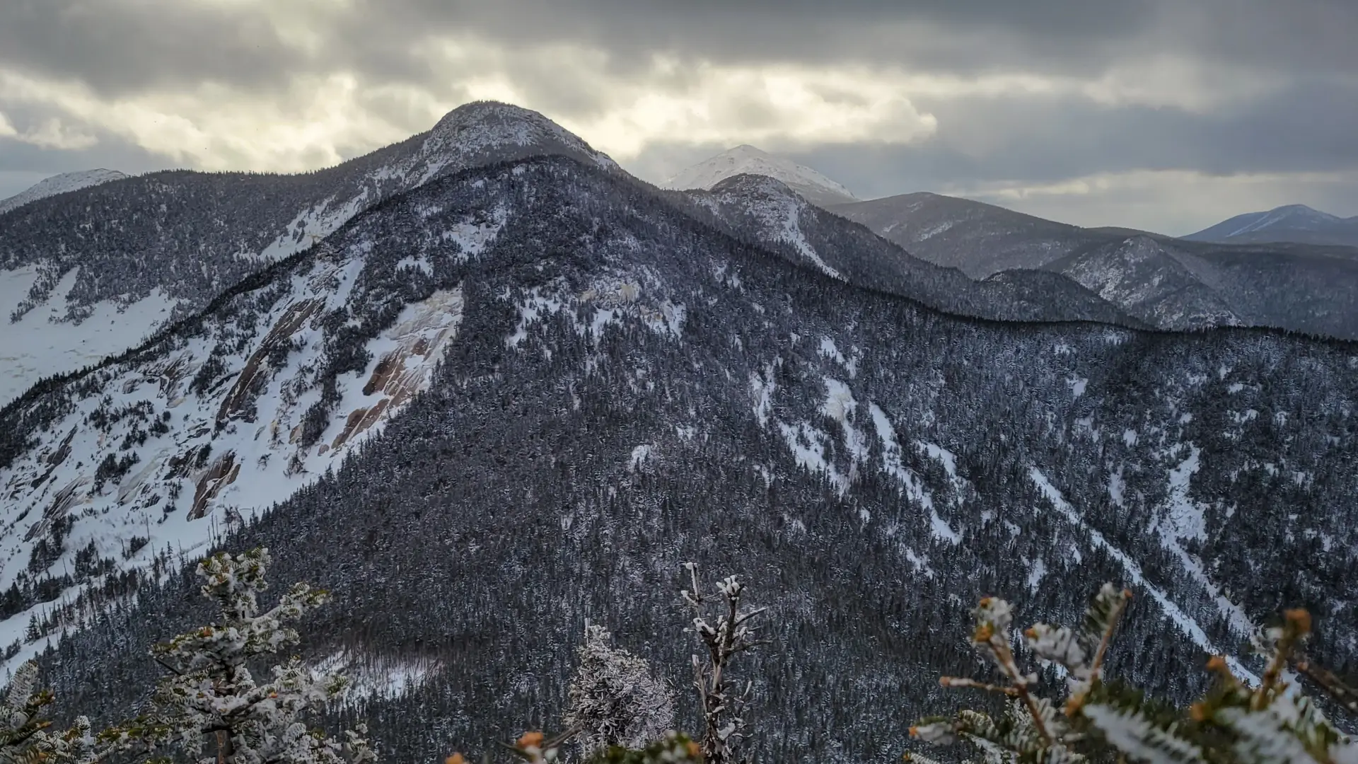
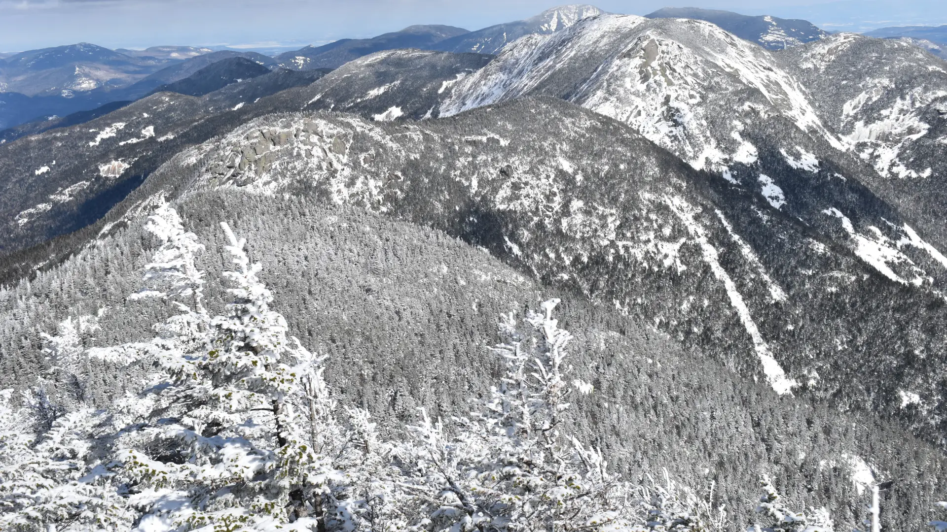
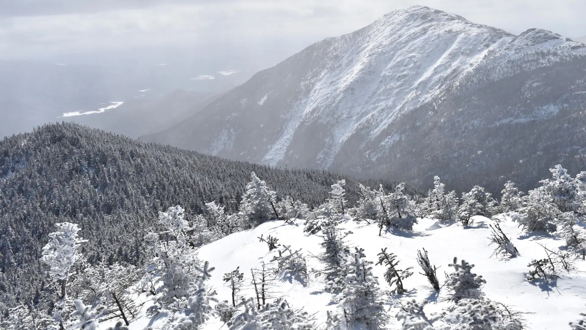
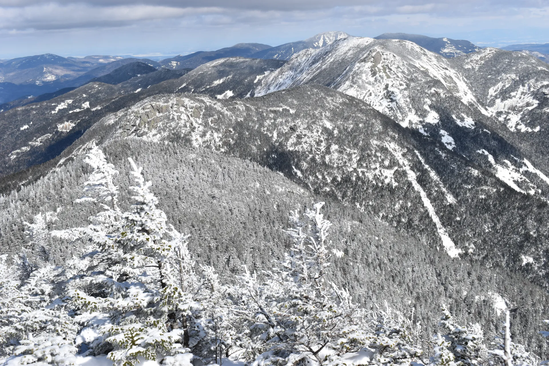
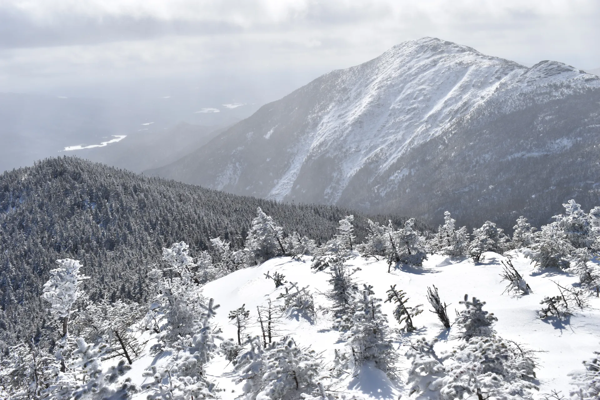
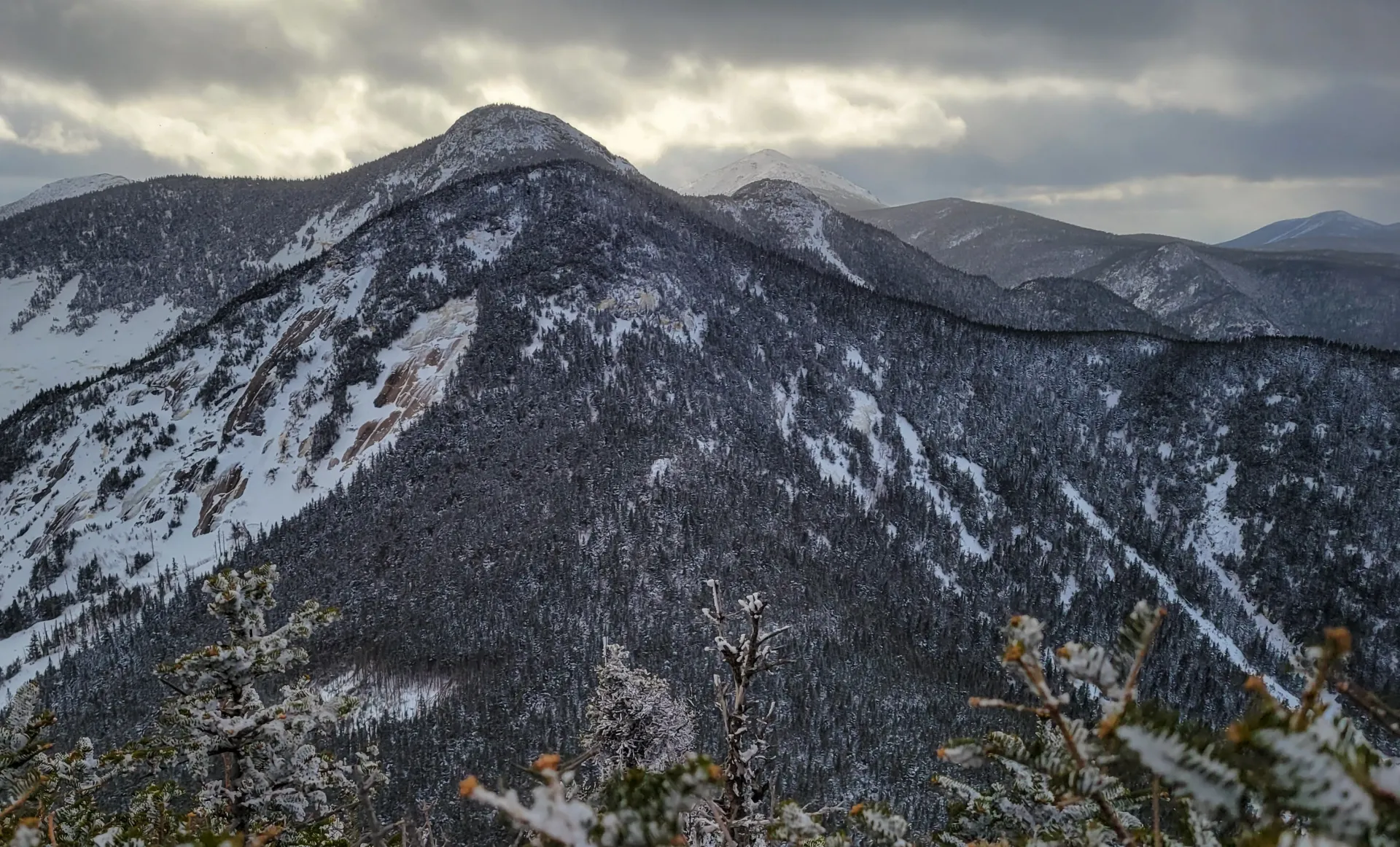
Basin in the winter
Basin is a challenging mountain that should only be attempted by experienced hikers, especially in winter, so make sure you are prepared. Snowshoes are necessary, and microspikes and crampons are needed to climb the exposed upper reaches of the peak. Many bring an ice axe. Plan on temperatures in the higher elevations being at least 20 degrees colder than at the trailhead, not including the windchill. Bring several extra non-cotton layers, a headlamp with spare batteries, extra food, a windbreaker, goggles, a face mask, and supplies for spending the night in case of an emergency. There is a water crossing over Johns Brook. Crossings can be especially dangerous during the beginning and end of winter. Always use caution at water crossings. Turning around is always an option.
Find your perfect trail near Keene Valley
Does Basin sound amazing, but a little more than you want to tackle right now? No need to stress, with over 2000 miles of hiking trails in the Adirondacks we are sure we can find the perfect hike for you.
How to get there
Leave Lake Placid on Route 73, heading east toward Keene and Keene Valley. After about 19 miles, in downtown Keene Valley, turn right at the large wooden DEC sign for the Garden parking lot. This turn is also about 12 miles from Exit 30 on I-87. There is a fee to park at the Garden. Parking here is limited and the lot fills up early most weekend mornings, especially in summer.
Emergency Information
Related Content

Ready to hike in the High Peaks? There is no set way for how to become a 46er, but there is a R.I.G.H.T. way.