
Round Trip
0.5 miles
0.8 kilometers
Elevation
The height of the summit or destination, from sea level.
1655 feet
504.4 meters
Elevation Gain
The total amount of vertical ascent (uphill climbing) on a hike. This is cumulative gain, totalling the elevation change of the uphill segments from a round-trip hike.
140 feet
42.7 meters
Route Type
A hiking trail may be classified as a Loop, Out and Back, Point to Point, Bushwhack, or Multi-day Thru Hike, with some destinations having more than one of these ways as a hiking option.
- Out and Back
- Bushwhack
Round Trip
0.5 miles
0.8 kilometers
Route Type
A hiking trail may be classified as a Loop, Out and Back, Point to Point, Bushwhack, or Multi-day Thru Hike, with some destinations having more than one of these ways as a hiking option
- Out and Back
- Bushwhack
Elevation
The height of the summit or destination, from sea level.
1655 feet
504.4 meters
Elevation Gain
The total amount of vertical ascent (uphill climbing) on a hike. This is cumulative gain, totalling the elevation change of the uphill segments from a round-trip hike.
140 feet
42.7 meters
Round Trip
0.5 miles
0.8 kilometers
Route Type
A hiking trail may be classified as a Loop, Out and Back, Point to Point, Bushwhack, or Multi-day Thru Hike, with some destinations having more than one of these ways as a hiking option
- Out and Back
- Bushwhack
Elevation
The total amount of vertical ascent (uphill climbing) on a hike. This is cumulative gain, totalling the elevation change of the uphill segments from a round-trip hike.
1655 feet
504.4 meters
Elevation Gain
The total amount of vertical ascent (uphill climbing) on a hike. This is cumulative gain, totalling the elevation change of the uphill segments from a round-trip hike.
140 feet
42.7 meters

trail highlights
trail features
trail category

Lakes/Ponds

Unmarked Trail

Short
About
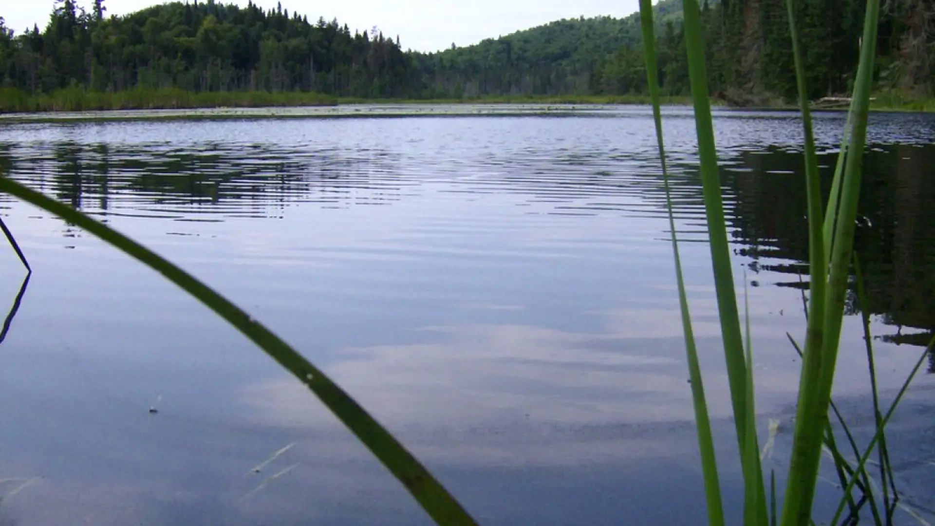
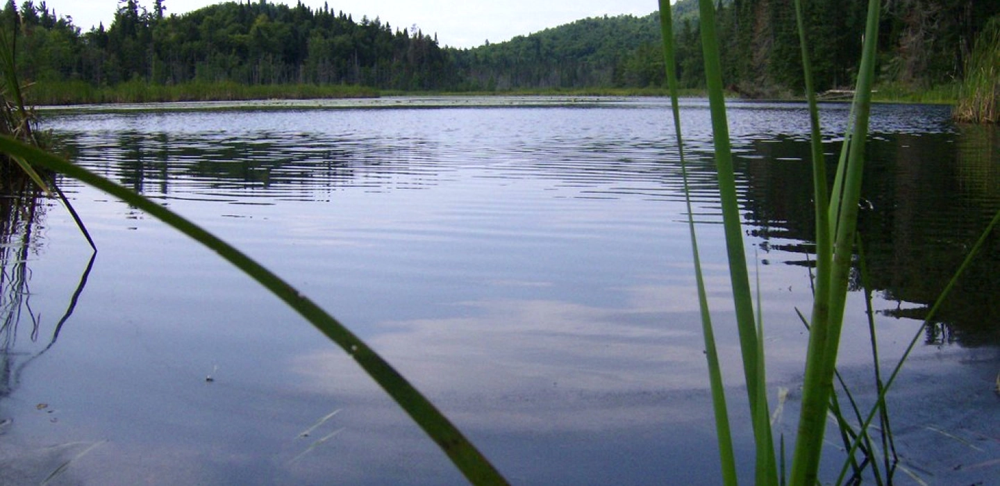
A small pond with no marked trail and some good views of Whiteface Mountain.
Key takeaways
- Distance: 0.5 miles round trip
- Elevation gain: Minimal
- Elevation: 1,655 feet
- Hike includes unmarked trail
Hiking to Little Cherrypatch Pond
At the back of the parking area there is a herd path that leads to the shore of the pond. The path is easy enough to follow but not marked. There is minimal elevation change as you hike the roughly quarter mile.
Find your perfect trail near Lake Placid
Want to find another perfect hike? Lake Placid (or other town) has so many more trails waiting for you!
How to get there
From the intersection of state Route 73 and 86 in Lake Placid, follow Route 86 toward Wilmington. Continue for 2.8 miles and park in the small pull off on the left, just a few hundred feet before Connery Pond Road.
Emergency Information
If you get lost or injured, remain calm and stay put. If you have cell service, call 911 or the DEC Forest Ranger Dispatch, 833-NYS-RANGERS (833-697-7264).
Plan ahead and hike smart. Bring a map, extra food, water, and warm clothing, and check the weather before you go. Stay aware of your surroundings and landmarks. If you get turned around, don’t panic—stop, think, and stay where you are. Let someone know your route and expected return time.
×