- Out and Back
- Out and Back
- Out and Back


About
Elk Pass is often reached when hiking Dial and Nippletop, and is an excellent destination to get out and enjoy nature. It is loaded with wildflowers and outstanding waterfalls in the spring. The pass itself is also a great spot for wildlife viewing of beaver, mink, deer, bobcat, and even an occasional red fox. Birding opportunities also exist for those wanting to collect birds and take unique photography in a distinctive area. Most of the hike is on the land of the private Adirondack Mountain Reserve (AMR) where dogs are prohibited in the preserve.
SPECIAL INFORMATION
This hike is accessed through a conservation easement with the Adirondack Mountain Reserve (AMR). A parking reservation is needed from May 1 - October 31. Although it is called a “parking reservation,” everyone will need a reservation to access hikes leaving from AMR, whether you drove yourself, rode a bike, got dropped-off, or walked. These reservations can be made online via the AMR website. For more information, please read these FAQs or contact the New York State Department of Environmental Conservation.
Key takeaways
- Distance: 10.7 miles round trip
- Elevation: 3335’
- Elevation gain: 2,260
- Hike includes trail junctions and a road walk
Hiking Elk Pass
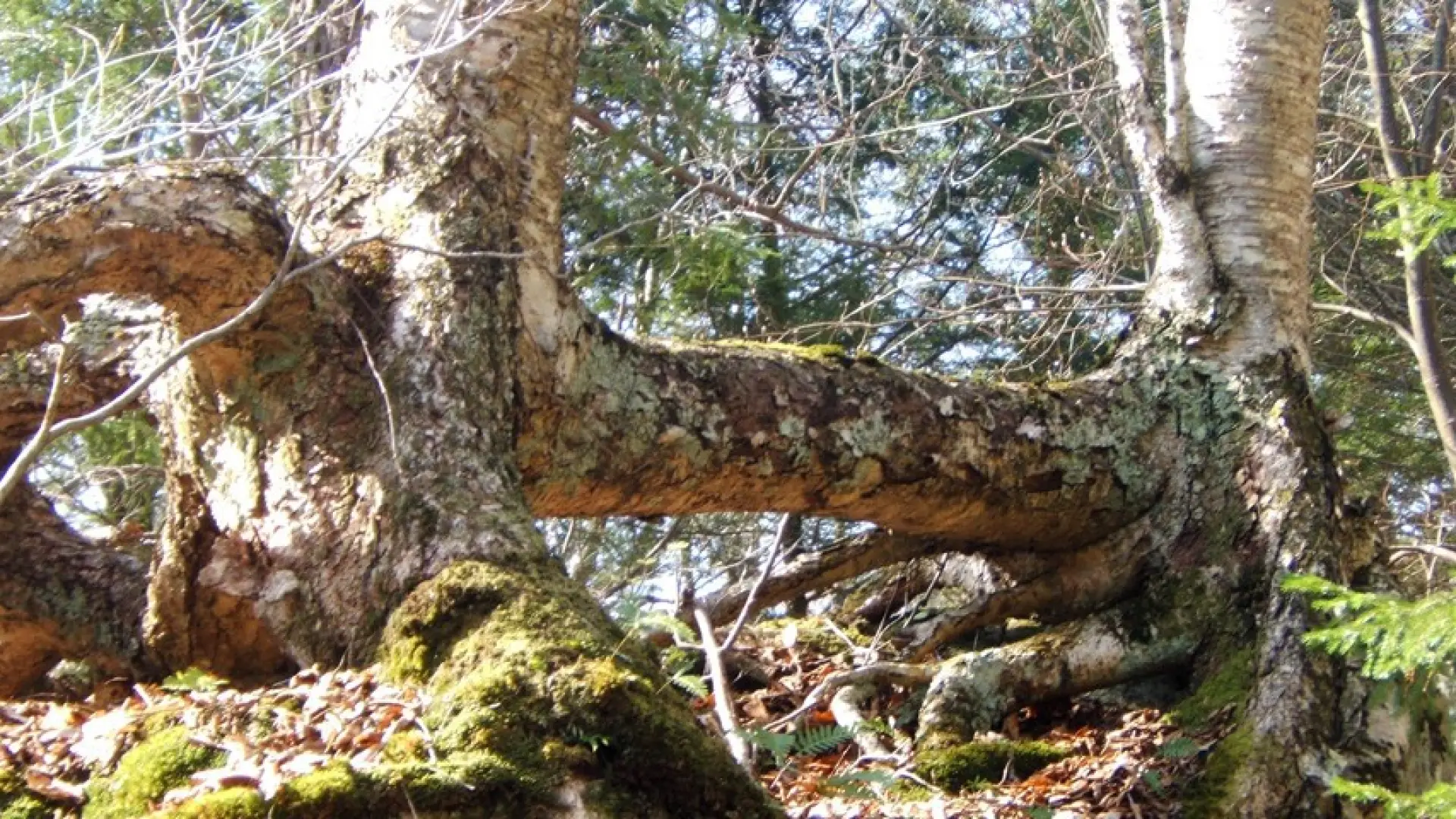
From the parking area, follow a dirt road that becomes paved next to a golf course. After 0.5 mi., turn left and down between two tennis courts on Lake Road Way. In another 0.1 mi. you reach the gate house and register with a wooden gate just beyond. Then you will continue along a dirt road (Lake Road) for an additional 2.0 miles before you enter a foot trail (Gill Brook Trail). The foot trail starts climbing right away from the Lake Road, but on a moderate pace. The footing is a bit tricky in spots under rocky terrain.
The trail eventually leaves the shore of Gill Brook and starts to climb much steeper. You'll pass by several side trails to destinations like Indian Head, Fish Hawk Cliffs, and Mount Colvin.
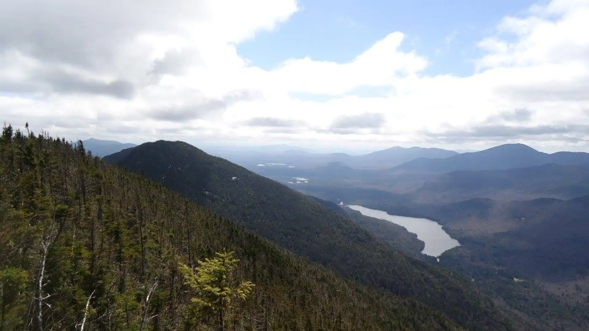
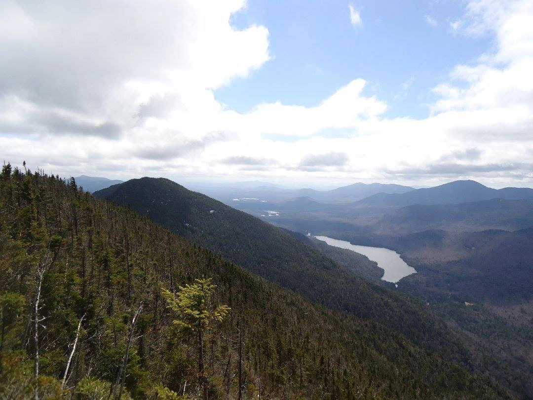
Eventually the trail levels off a bit and enters the pass with three distinctive beaver ponds, which you hike past. At some points you are right next to the pond but actually below the water table. This is a great place for wildlife viewing and birding as well. The trail continues through Elk Pass to the summits of Dial and Nippletop.
Elk Pass in the winter
The Lake Road can be a good crosscountry ski in optimal conditions, but the trail from the road to Elk Pass would be difficult to ski. The trail will likely be broken out as these 46ers are still popular peaks in the winter. Being prepared is necessary for any winter hike.
Find your perfect trail near Keene Valley
Does Elk Pass sound amazing, but a little more than you want to tackle right now? No need to stress, with over 2000 miles of hiking trails in the Adirondacks we are sure we can find the perfect hike for you.
How to get there
Leave Lake Placid on Route 73, follow Route 73 through Keene and Keene Valley and into Saint Huberts. Parking is across the road from the Roaring Brook Falls Trailhead for Giant Mountain.