- Out and Back
- Out and Back
- Out and Back


About
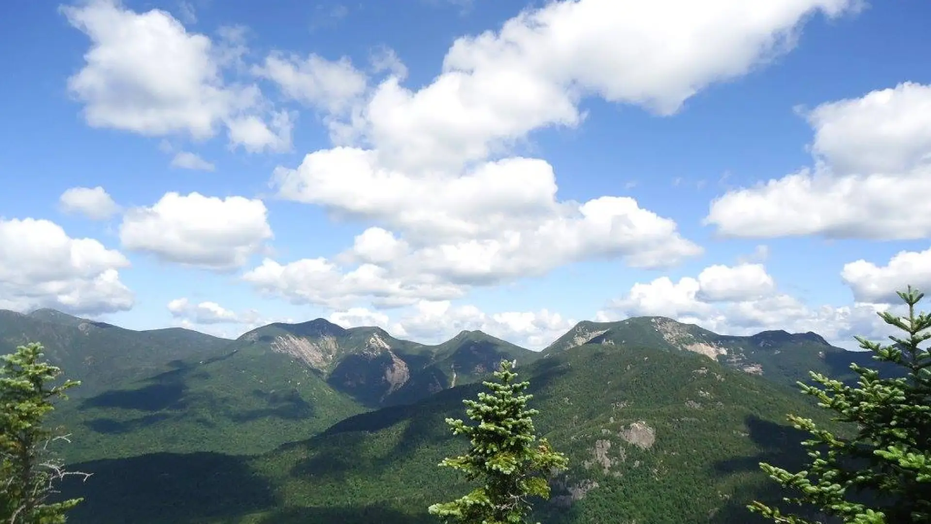
Hiking New York's 39th tallest mountain
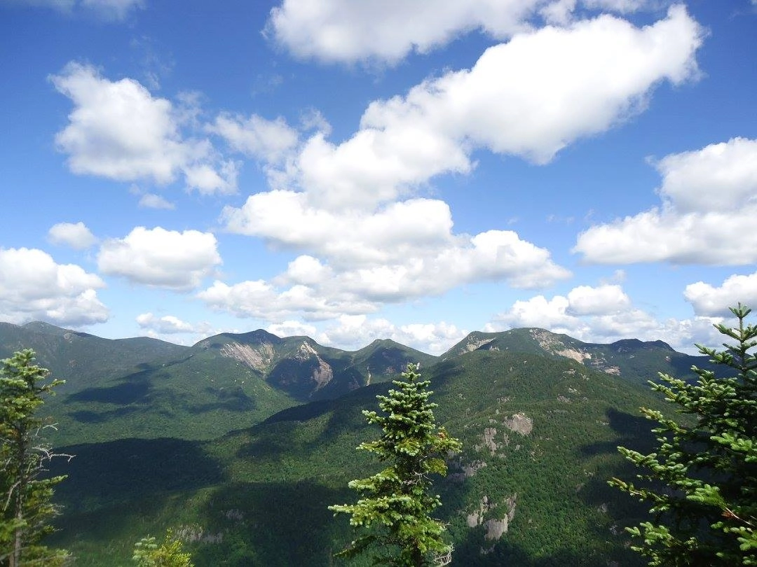
Colvin is the 39th tallest of the Adirondack 46 High Peaks. It is a steep, serious hike that requires significant preparation. A successful hike of Mount Colvin involves research, physical fitness, the right gear, and knowledge of Leave No Trace principles. Colvin was named after Verplanck Colvin, the great surveyor of the Adirondack Park, and is often climbed with Blake Peak.
SPECIAL INFORMATION
This hike is accessed through a conservation easement with the Adirondack Mountain Reserve (AMR). A parking reservation is needed from May 1 - October 31. Although it is called a “parking reservation,” everyone will need a reservation to access hikes leaving from AMR, whether you drove yourself, rode a bike, got dropped-off, or walked. These reservations can be made online via the AMR website. For more information, please read these FAQs or contact the New York State Department of Environmental Conservation.
Key takeaways
- Distance: 11.5 miles round trip
- Elevation: 4,507 feet
- Elevation gain: 2,900 feet
- Hike includes trail junctions, steep rock slab, and a road walk
Hiking Mount Colvin
There are two approaches to Mount Colvin, but one is seldom used and adds mileage and elevation gain. Described below in the primary route via the AMR.
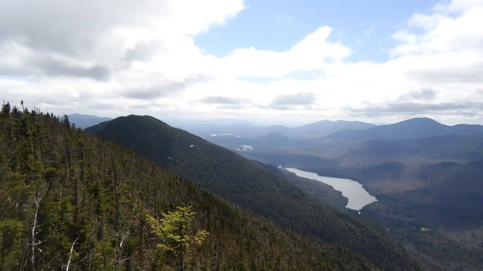
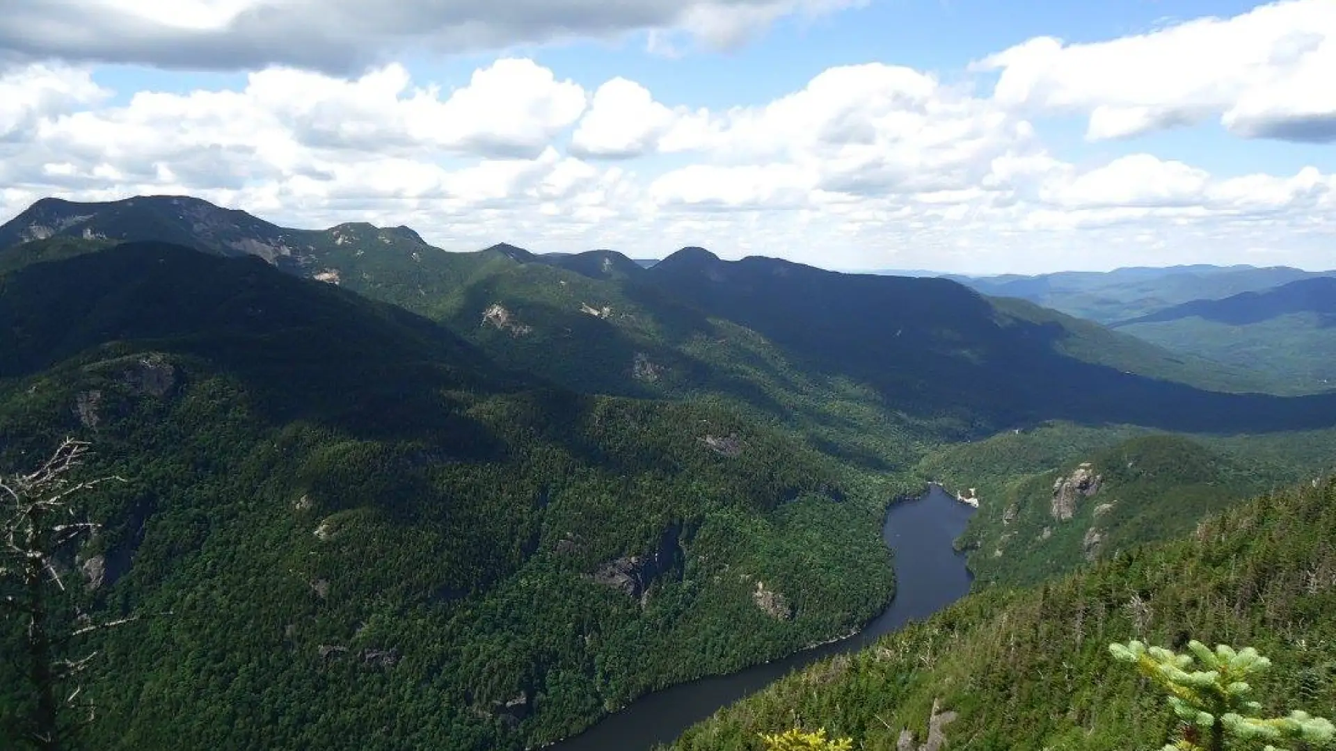
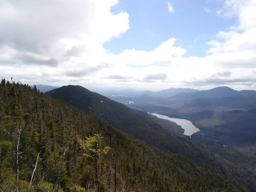
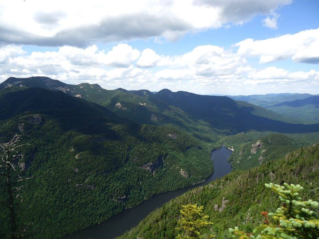
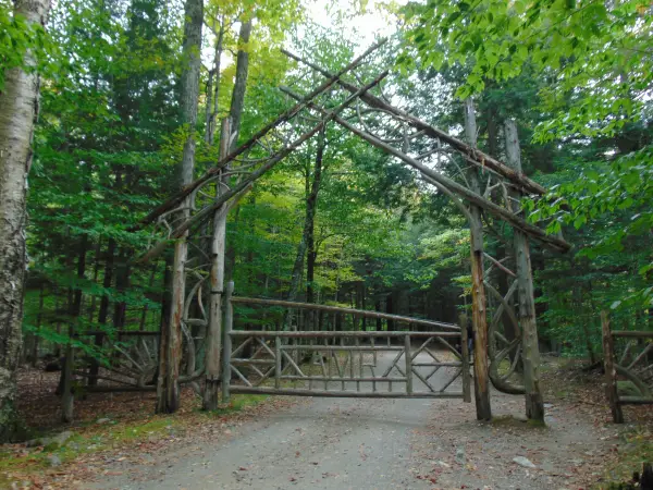
The hike starts along a dirt road the becomes paved next to a golf course. At 0.5 miles turn left and down between two tennis courts on Lake Road Way to the entrance station and register at 0.6 miles from the parking area. Beyond is a wooden gate, where you will continue along a dirt road for an additional 2.5 miles before you take a left on the Gill Brook Trail. This trail starts off very moderate but continues to get steeper in sections. The final approach to Mount Colvin gets very steep, with one particularly challenging spot near the summit. The summit overlooks Lower Ausable Lake.
Colvin in the winter
Colvin is a challenging mountain that should only be attempted by experienced hikers, especially in winter, so make sure you are prepared. Snowshoes are necessary, and microspikes are needed to climb the upper reaches of the peak. Plan on temperatures in the higher elevations being at least 20 degrees colder than at the trailhead, not including the windchill. Bring several extra non-cotton layers, a headlamp with spare batteries, extra food, a windbreaker, goggles, a face mask, and supplies for spending the night in case of an emergency.
Find your perfect trail near Keene Valley
Does Colvin sound amazing, but a little more than you want to tackle right now? No need to stress, with over 2000 miles of hiking trails in the Adirondacks we are sure we can find the perfect hike for you.
How to get there
Leave Lake Placid on Rte 73, follow Rte 73 through Keene and Keene Valley and into Saint Huberts. Parking is across the road from the Roaring Brook Falls Trailhead for Giant Mountain. This approach is on private land owned by the Adirondack Mountain Reserve. Access is guaranteed by virtue of easements, but dogs are absolutely prohibited in this preserve.
Emergency Information
Related Content

Ready to hike in the High Peaks? There is no set way for how to become a 46er, but there is a R.I.G.H.T. way.

Lake Placid, NY is home to short hikes, moderate hikes, and longer hikes, making us the perfect hiking destination for any hiker! Read these hiking safety and etiquette tips that will keep you safe and happy on the trails this summer!
Information on the parking reservation system at the Adirondack Mountain Reserve.