- Out and Back
- Out and Back
- Out and Back


About
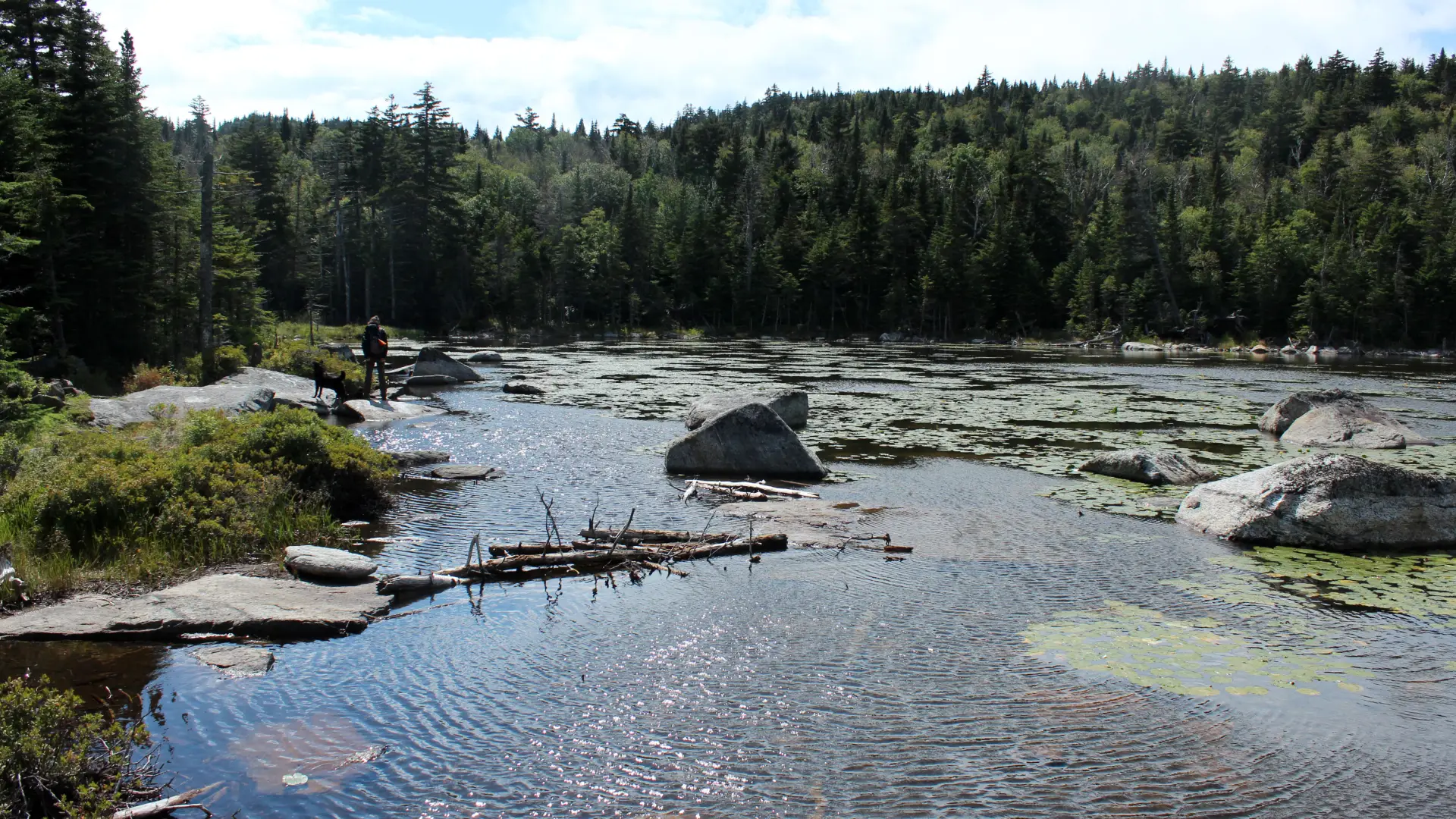
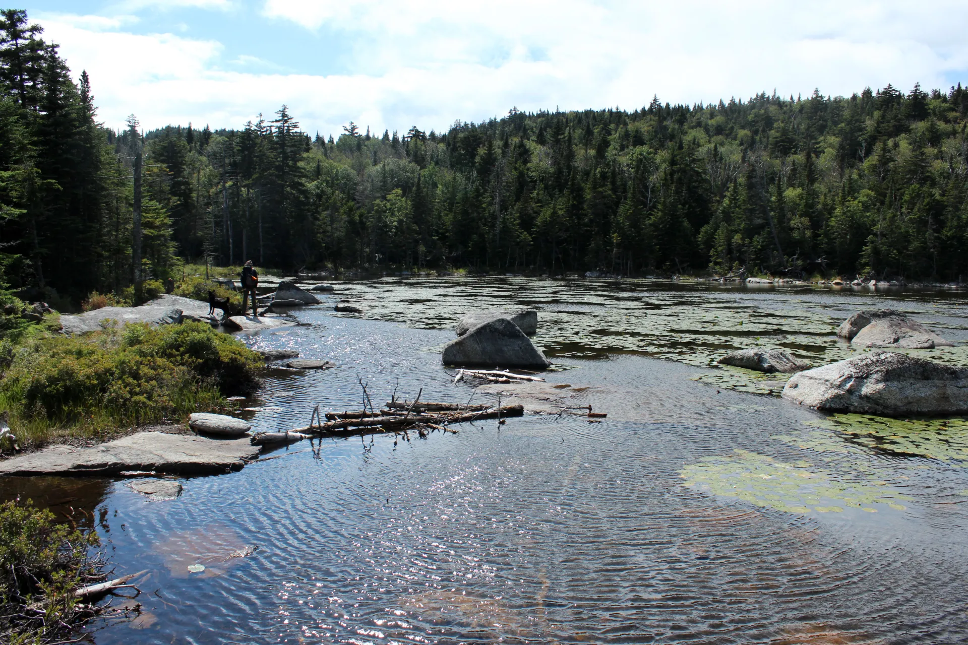
Cooper Kiln Pond lies in the valley between Morgan Mountain and Wilmington Peak. The pond sits nestled in the mountains with a somewhat heavily treed shoreline. There are a few rocky outcroppings opening up views out over the body of water. It's a good thru hike or camping area.
Key takeaways
- Pond elevation: 3,005 feet
- Elevation gain: 615 feet from the primary trailhead and 1,670 feet from the secondary trailhead
- Distance: 2.7 miles one way from the primary trailhead and 3.2 miles one way from the secondary trailhead. A thru-hike is 5.9 miles
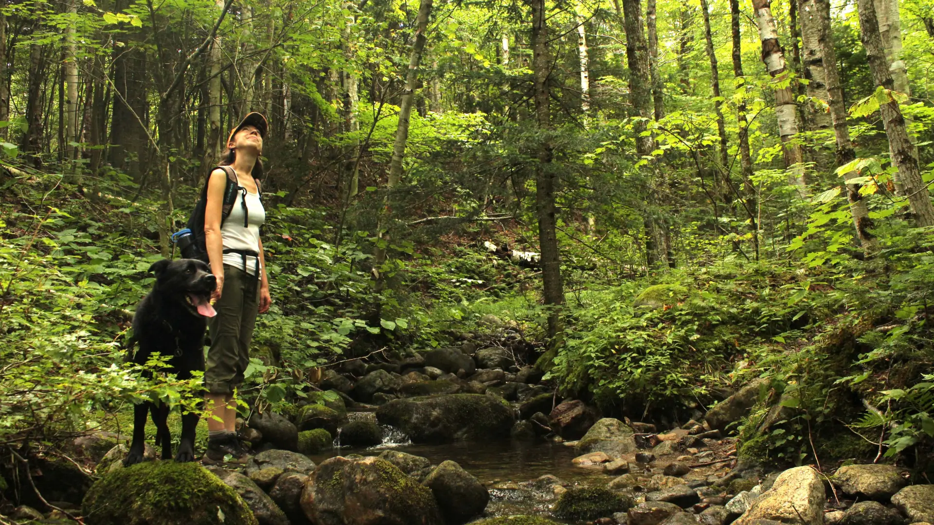
Hiking to Cooper Kiln Pond
From the primary trailhead, this is a 2.7 mile hike one way. The trail starts out on a flat course before gaining elevation and becoming somewhat wet. This route can be wet during the rainy season as it climbs to a height of land. From the top of the pass, the trail descends along a steady course to the shore of Copper Kiln Pond. There has been a ton of beaver activity in the area and at times the trail can be flooded; be prepared. The trail then follows along the shore to the lean-to and camping area. The trail from here continues and meets up with the secondary trail. Continue on for a thru-hike or return the way you came.
From the secondary trailhead, this is a 3.2 mile hike one way. Starting from Bonnieview Road in Wilmington the trail begins on a rather flat course along an old road. After crossing a brook the trail begins to climb then stays fairly steady but not too steep. At a height-of-land on a sharp corner you will notice the trail goes sharp left and a faint path goes straight. (Straight leads to a bushwhack to the Wilmington Slide on Wilmington Mountain. Please, only advanced hikers should attempt this.) Continue to stay on the marked trail heading left. The trail moderates a bit before entering a well-rutted and washed out trail that climbs steeply through an open hardwood forest. As the trail flattens out you will come to the lean-to at the pond. The trail continues past the lean-to and along the western shore of the pond and becomes the primary trail above.
Camping
A lean-to sits on the northeastern shore of the pond, and is an excellent spot for an overnight. A designated primitive tent site is along the trail, just a short distance from the secondary trailhead on the Bonnieview Road.
Mountain biking
This mountain biking trail has a scenic destination with some fine challenges. Many make it a thru-bike, as it's even a part of the local Over Easy event.
Fishing
Cooper Kiln Pond has 2.4 acres of surface area and contains wild native brook trout. The use of baitfish is prohibited.
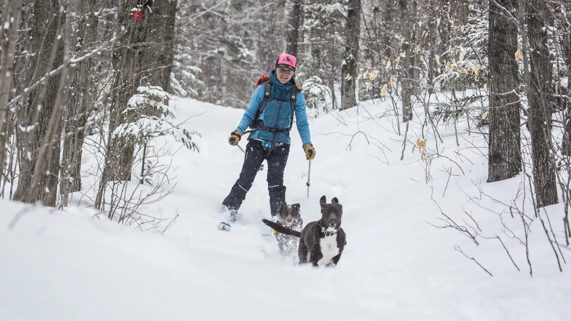
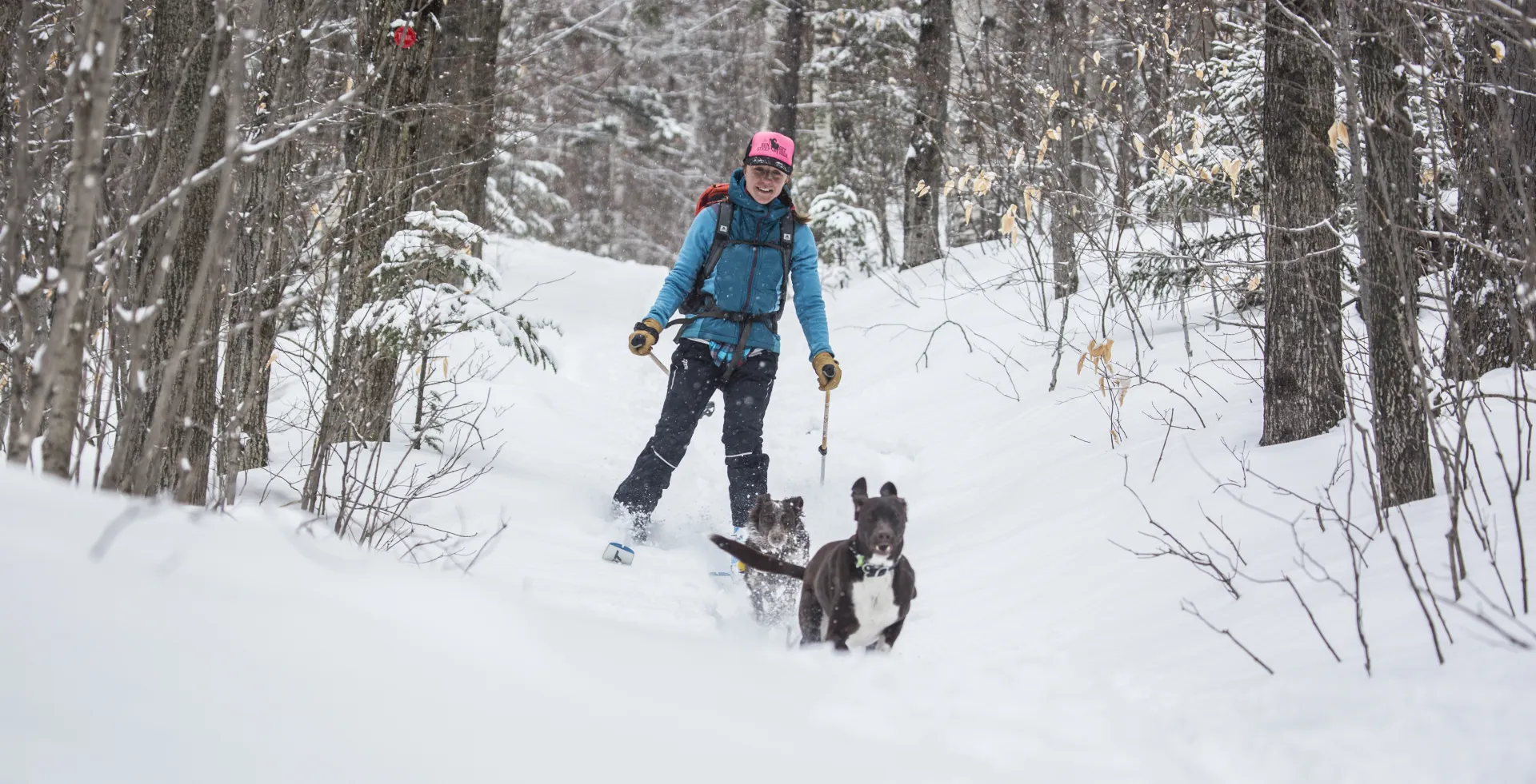
Cooper Kiln Pond in the winter
This is a backcountry trail that might not be broken out. Take care while parking. You will be following a snowmobile trail as well as a state marked foot trail – so be aware of snowmobiles during snow months. Good snow coverage is needed to make this an enjoyable ski, as there are many rocks on the trail, but it is a classic thru-ski nonetheless.
Find your perfect trail
Does Cooper Kiln Pond sound amazing, but a little more than you want to tackle right now? No need to stress, with over 2000 miles of hiking trails in the Adirondacks we are sure we can find the perfect hike for you.
How to get there
The pond can be reached as an out-and-back from the Cooper Kiln Pond Trailhead East or the Cooper Kiln Pond Trailhead West. If a second car is available, making a traverse of the two trails is a great option.
Primary trailhead: From Lake Placid, follow Route 86 toward Wilmington. From the main intersection in Wilmington, where Route 86 meets The Whiteface Memorial Highway, follow the Wilmington Memorial Highway. Continue for 2.9 miles to Franklin Falls Rd on the right and follow Franklin Falls Rd for 0.6 miles to the west trailhead on the right for Cooper Kiln Pond. Be sure not to take the left to the toll gate for Whiteface Mountain.
Secondary trailhead: Lake Placid, follow Route 86 toward Wilmington. From the main intersection in Wilmington, where Route 86 meets The Whiteface Memorial Highway, follow Bonnieview Road. Continue here for 3.2 miles to the east trailhead on the left for Cooper Kiln Pond.
Other Features
Fish Species
 Brook Trout