It doesn't matter where I go in the park, I always feel like home. It doesn't always mean that I have my bearing in the woods but it also means that most everyone I run into that's local to that area, seems to feel I must be too. Do you think it's the plaid fleece I wear? Maybe it's my rustic middle aged charm. Whatever it is, it always whets my taste buds to explore more of the park and spread out a bit. The trails here in the High Peaks Region are bit worse for wear with mud and the occasion reminder of winter, but the southern Adirondacks seem to almost be in summer mode. So this week I did just that, I headed south, the only problem is the gas pumps – but I figure it would be well worth the extra few bucks to explore something out of the ordinary.
I decided to putter around Putts Pond near Ticonderoga. Just so there's no confusion, Putts Pond is short for Putnam Pond. By the time I wiped the cobwebs from my eyes, ate a bit of oatmeal, made a coffee and brushed my teeth it was 10am and I was burning daylight. The once I finished the seemingly forgettable daunting drive to exit 28, I still had to drive down Route 74 to the State Campground. That wasn't too bad. And I was welcomed with a smile by the campground workers, busting hump to get it ready for summer visitors.
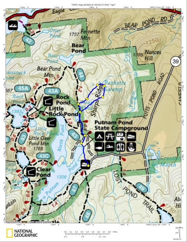
I still wasn't too sure what I was going to explore even as I parked the car, I wanted to see what the trails looked like before I made any decisions. So, without much more than a blind finger point to an open map I decided to hike back to Heart Pond and bushwhack to the summit of Sharps Ridge and then down to Peshette Swamp. Can you believe it took me three paragraphs to get to the point, I hope you are still reading.
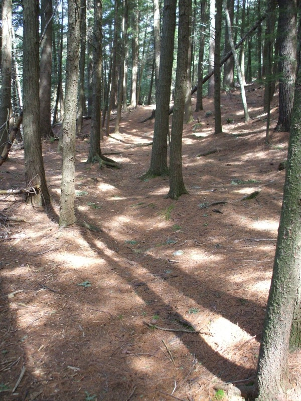
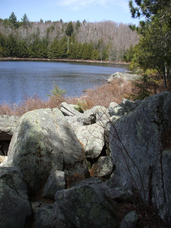
From the boat launch parking area I high-tailed it along the slightly swamped beach and by a half dozen or more campsites, an outbuilding and a bath house – I was finally on a foot trail. It was dry as a bone; it felt great to hike on solid ground in the fresh smell of the pines. At least that is for about a quarter mile, before I was on paved road for a bit, to the actual trailhead for Heart Pond. I signed in, just in case something happened while I was adventuring off-trail. The hike to Heart Pond was a blast, I decided to run parts of it to get my blood flowing. Seeing as how the trail to the pond was just over 0.5 miles, it didn't take too long to reach the rock strewn shore. From the shore you can even see the heart shape of the pond out in front.
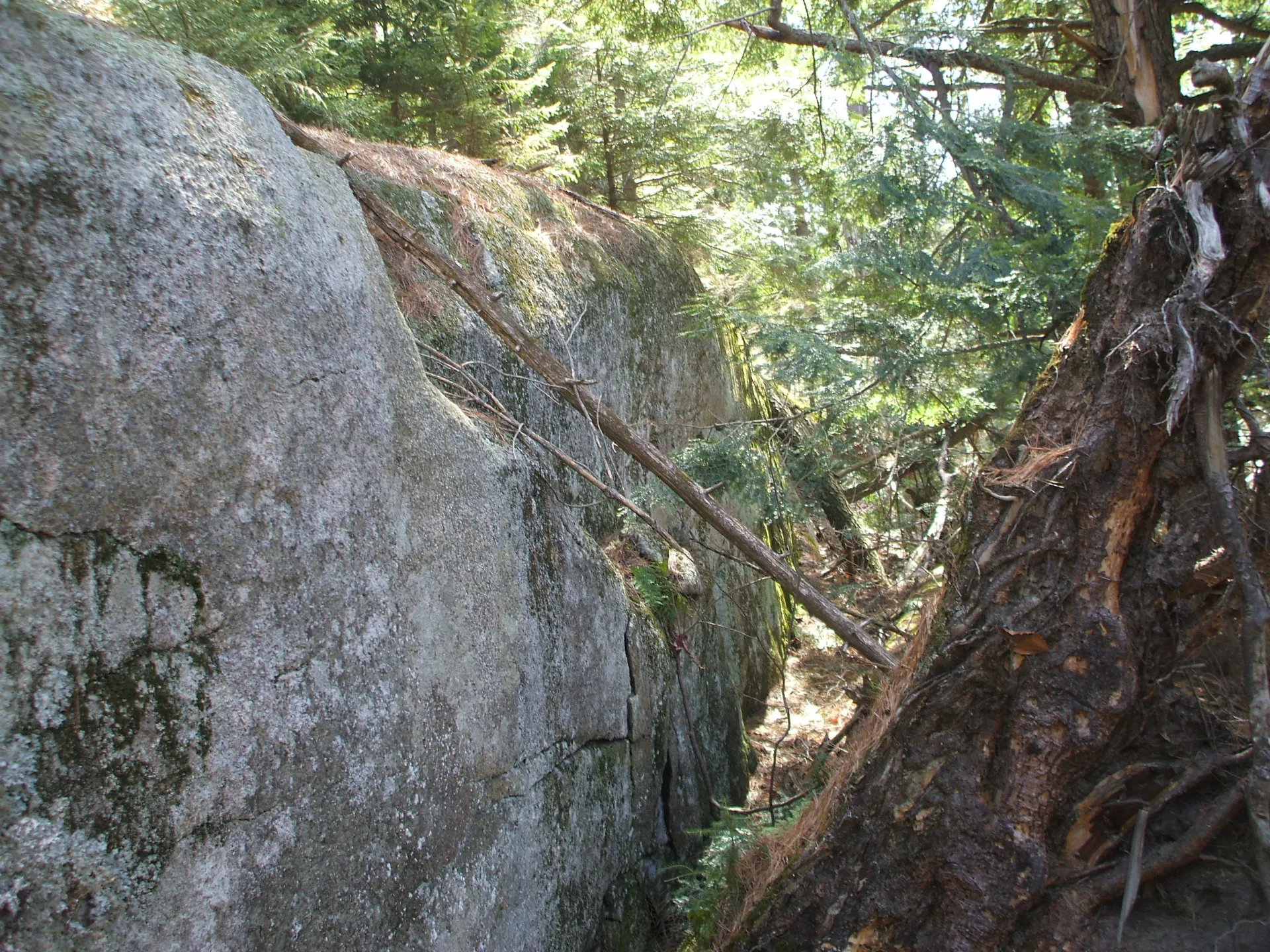
I continued along the pond until I reached the height-of-land and made a harsh right hand turn into the untrammeled hardwoods toward Sharps Ridge. The forest was covered in second growth beech and maples which by the way make excellent unforeseen whips. The oversized buds of the American beech saplings made the going a bit slowed and at times a bit painful, but I knew it wouldn't last, it never does. Eventually I was atop the lower summit of Sharps Ridge and needed to descend into a small valley. In the valley I was welcomed by a family of pileated woodpeckers, about six altogether, mostly young. The final approach to the heavily wooded summit of Sharps Ridge was quick.
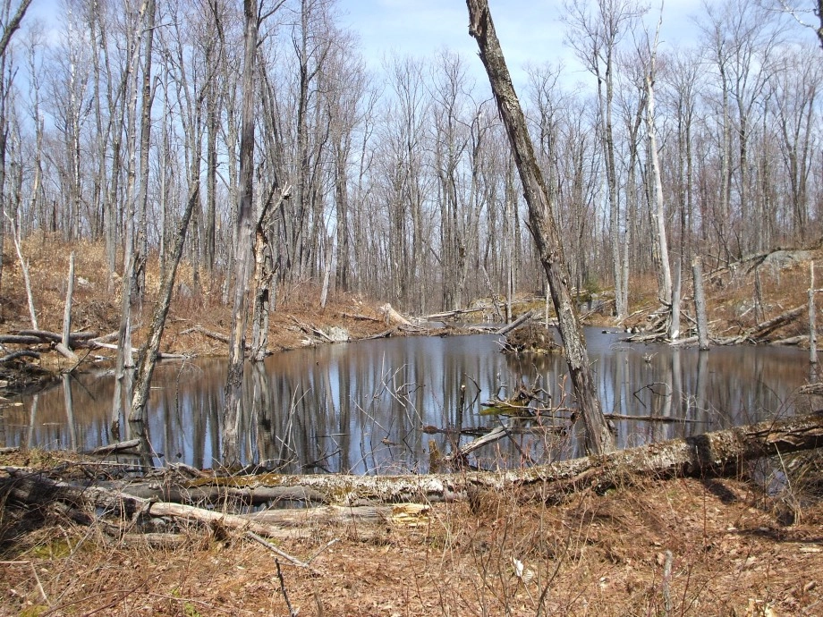
I dropped off the back side of Sharps Ridge in the direction of Peshette Swamp, which was about 0.25 miles away. The woods were a bit more cluttered on this side and a bit tighter as I approached the swamp. I was surprised we see such a well-developed trail around the pond once I reached it, it wasn't on any maps. Come to find out, most, if not all, were beaver trails.
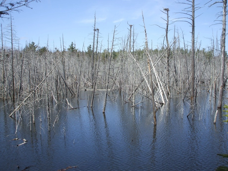
The swamp turned out to be a National Geographic special on great blue heron habitat. I counted 12 nests and equally as many birds, but with that being said, I could not see the entire swamp. I was not welcome there, I snapped a few pictures and went on my way, following beaver trail after beaver trail until I was high on a wooded ridge and descending back down to Heart Pond. I reached the trail a bit north of Heart Pond. From this point I wasted no time with a short trail run back to the car.
Interested in exploring some of the trail-less peaks of the Pharaoh Mountain Wilderness, or maybe want to go on a bird watching expedition, check out some of the local guides in this area.
Explore More
March in Lake Placid is packed with energy as winter wraps up and spring approaches. From championship ECAC hockey to the FIS Cross-Country World Cup, the village comes alive with world-class competition, lively crowds, and unforgettable experiences.
Trade beach towels for powder turns this spring break. Lake Placid has epic spring skiing, craft breweries, and a mountain town vibe that crushes any boardwalk scene. With lighter crowds, solid snow, and plenty to do on and off the slopes, it’s the spring escape you didn’t know you needed.

Lake Placid is one of the best places for a guys trip in the country. Lakeside golf courses, world-class breweries, and outdoor adventure combine here for the perfect trip.
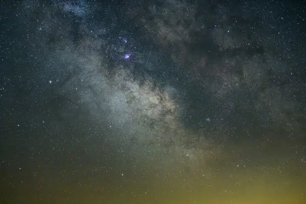
Discover why Lake Placid is a rising astrotourism destination, with pristine dark skies, innovative lighting efforts, and unforgettable stargazing experiences. Explore the best spots to watch meteor showers, learn how locals are protecting the night sky, and get tips for your visit.