About
This route is also used by snowmobiles, but it is a fantastic cross-country ski or snowshoe if you're up for the adventure!
Getting there
Leave Lake Placid on Rte 73, follow Rte 73 toward Keene. Drive about 0.2 miles and cross the Chubb River and take that first right onto Station Street. Follow this to the end at a stop sign on Old Military Road and go straight onto Averyville Road. Follow this road to the end, even after it turns to dirt by a farm, the trailhead is a bit further in.
By the numbers
- Distance: 14 miles round trip
- Elevation gain/loss: about 1,300 feet
Snowshoeing and cross-country skiing
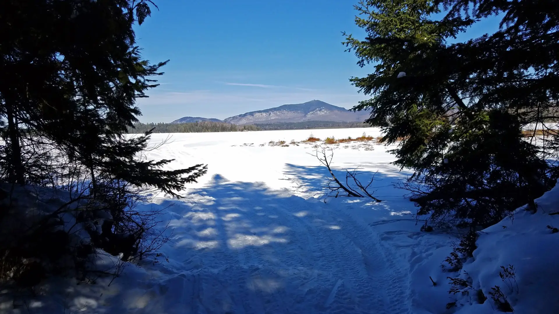
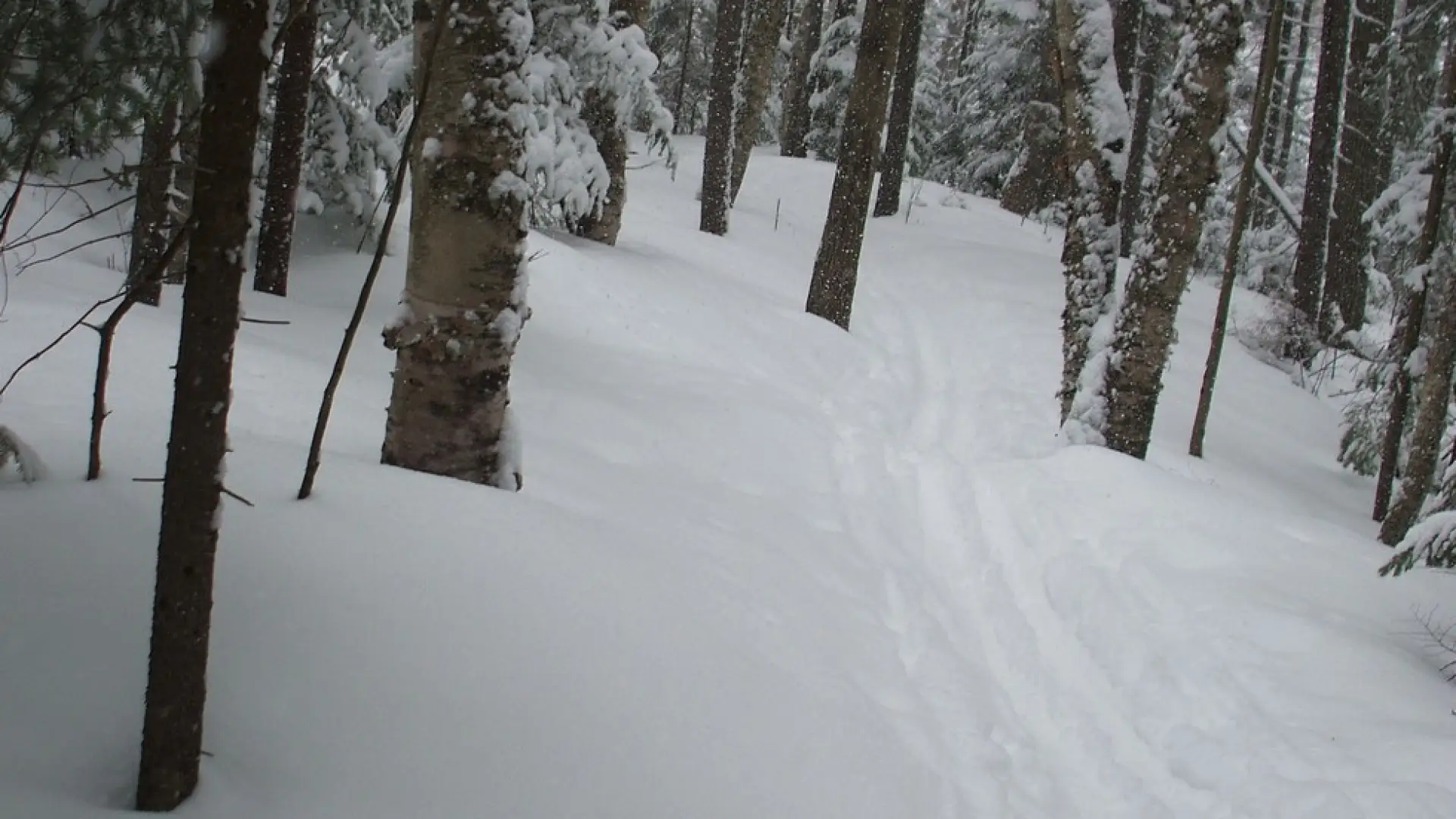
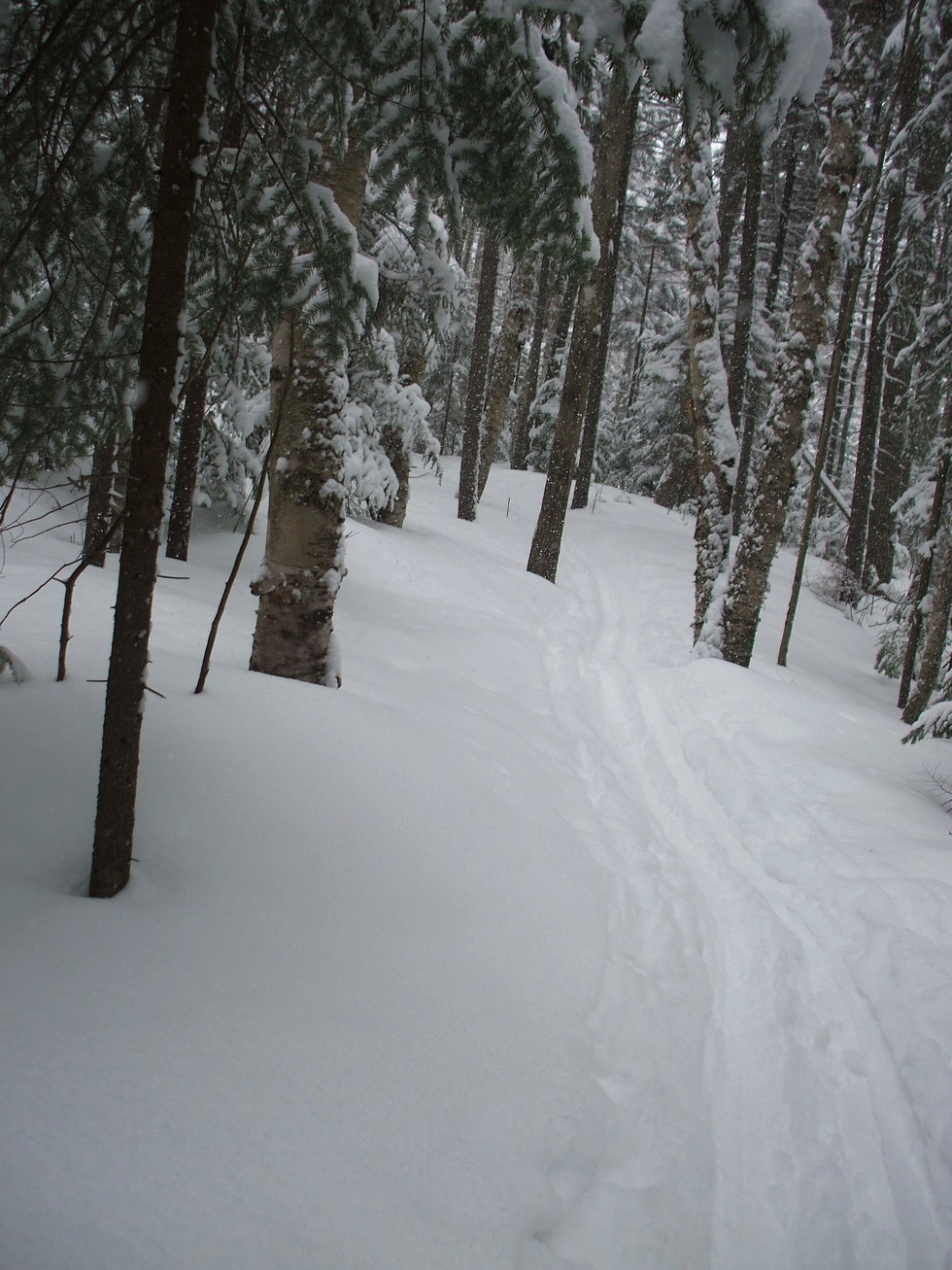
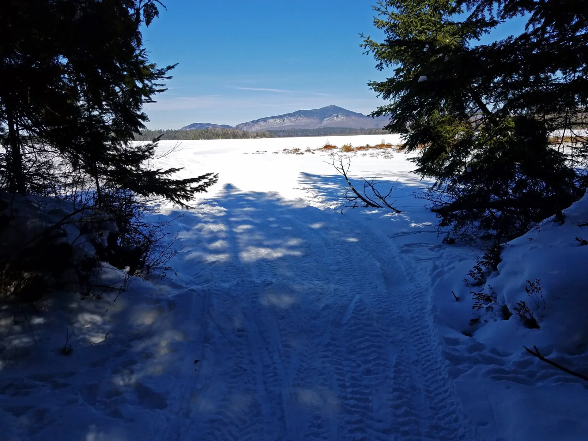
From the trailhead it remains flat for a bit before climbing up to the height of land of the trail. There is a long downhill after this that can be a ton of fun, but icy with exposed rocks if not under good conditions with ample snow cover. Once down off the hill you will be on a trail that is not all that demanding. A few smaller hills will be between you and the end of the trail at Oseetah Lake. Oseetah Lake is way back in and some members of the party may not wish to ski all the way back. That’s okay as the trail is the destination, not the lake. Enjoy the large growth trees and the seclusion that being on the border of the High Peaks Wilderness Area brings.
Additional Important Information:
Skiing over a frozen body of water is a cross-country skiing past time; it can access you to areas not seen by most in the summer. With that being said it is a dangerous activity to cross frozen water bodies and should be done with care and respect for your environment. Know the ice conditions and be prepared for anything including heavy winds, snow drifts, whiteouts, slushy conditions, and thin ice.