- Out and Back
- Out and Back
- Out and Back


About
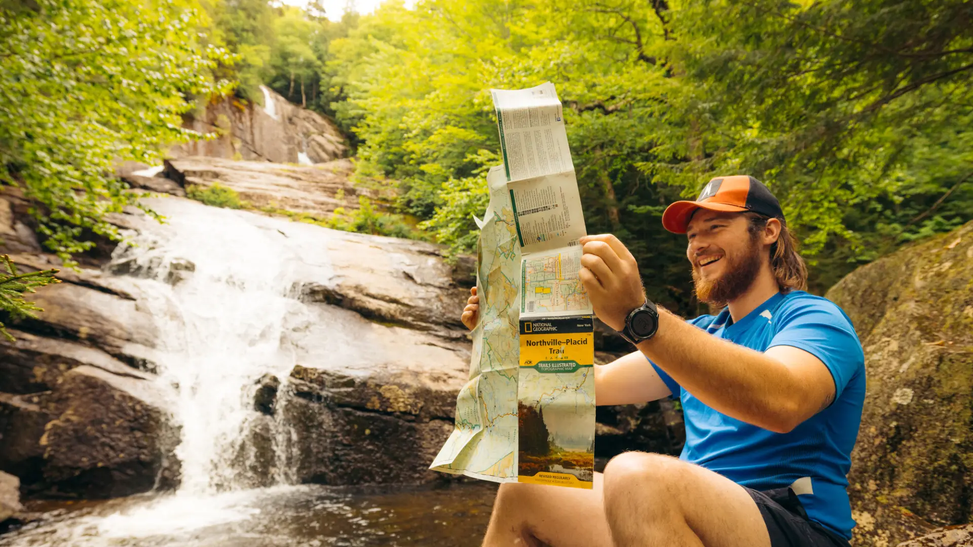
This is the most northerly section of the Northville-Placid Trail. The trip to Wanika Falls is a challenging undertaking, but there are some views and other stopping points along the way to make this a shorter trip, as well as camping options to make it a backpacking trip. A successful hike of Wanika Falls involves research, physical fitness, the right gear, and knowledge of Leave No Trace principles.
Key takeaways
- Distance: 14 miles round trip
- Elevation gain: 1,450 feet
- Hike includes trail junctions
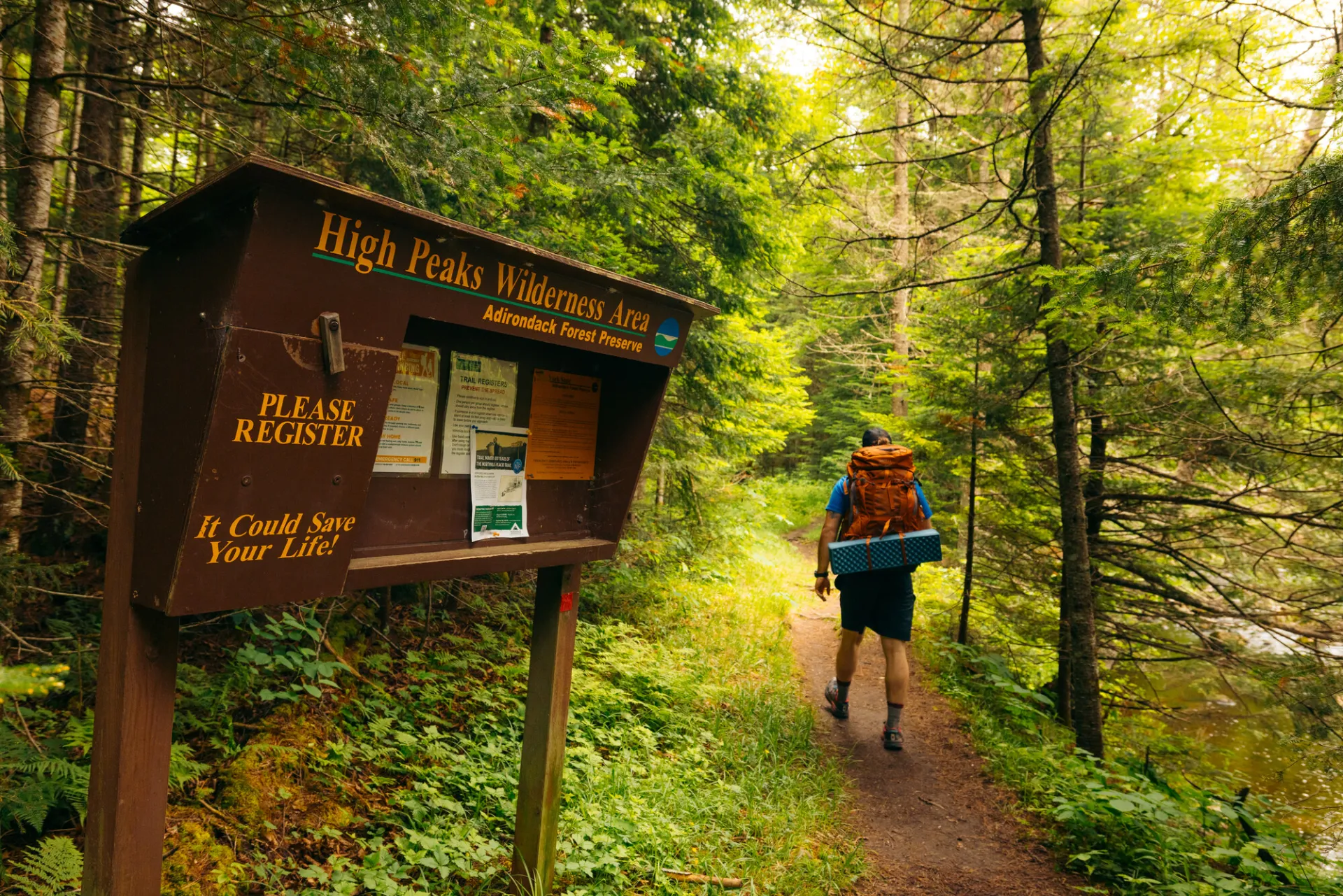
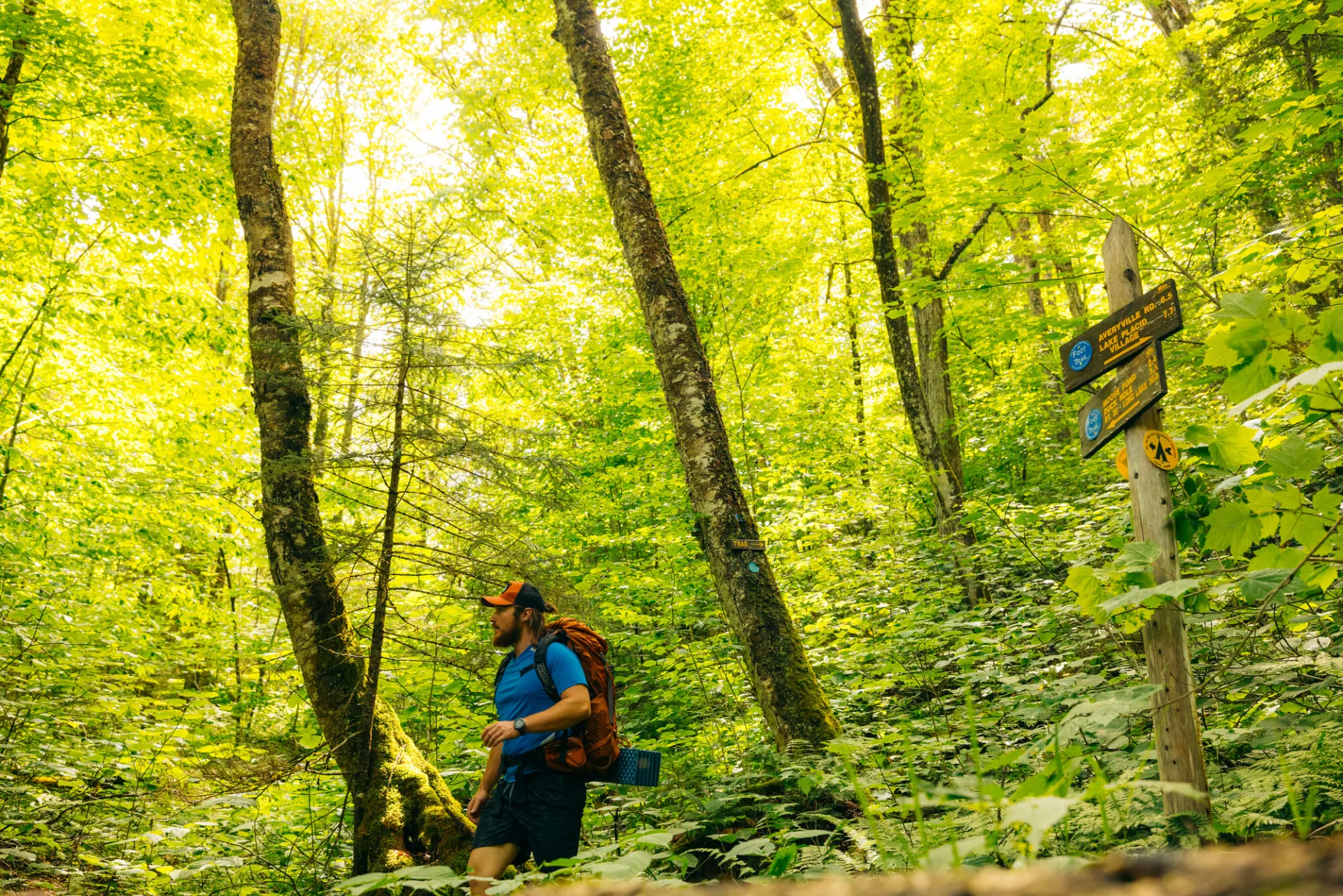
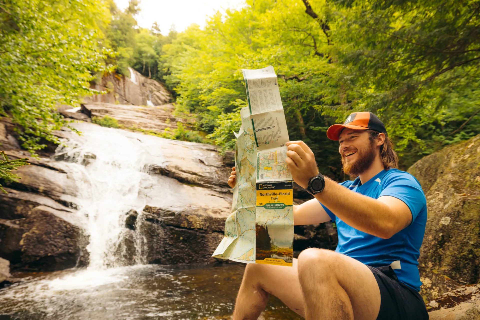
Hiking Wanika Falls
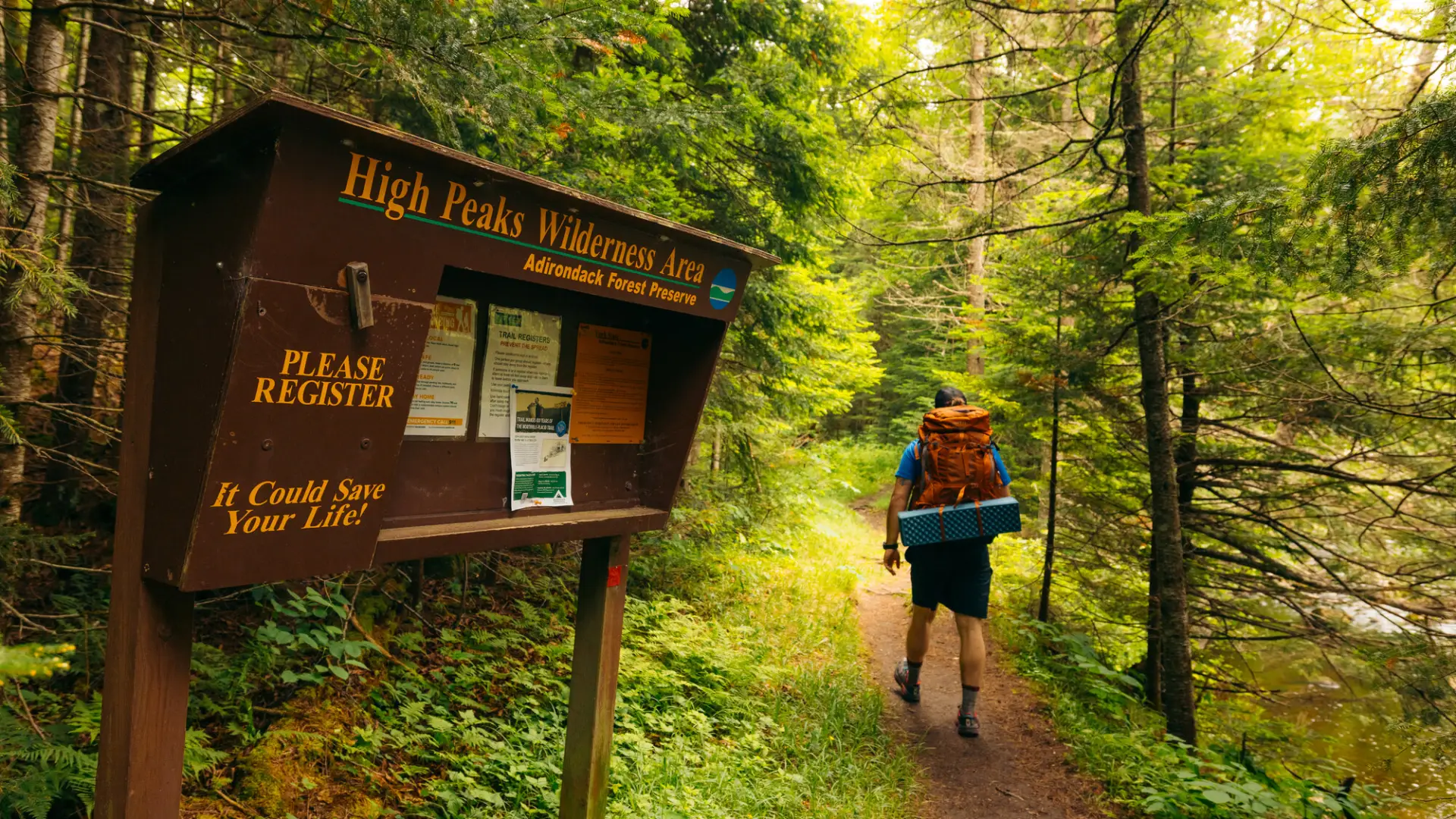
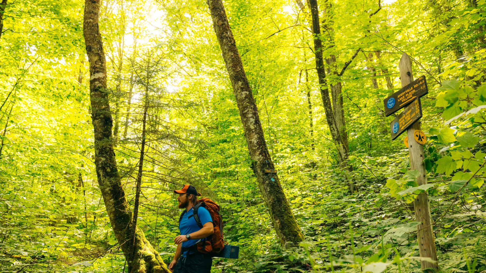
Leaving the road and marked with blue DEC disks, the trail begins following an old road along the bank of the Chubb River, but veers away from the river at 0.1 mi. and soon arrives at the trail register. From the register, the trail climbs at a steady, gradual grade until 0.5 mi., where it levels out and continues with short ups and downs. At 2.2 mi., the trail begins crossing an extensive spruce swamp with the end of the spruce swamp coming at 2.5 mi. The trail then crosses a large brook on a good bridge at 3.3 mi., and continues on to join an old tote road at 3.7 mi. Here it swings left and begins a gradual climb to a beaver pond on the right at 4.1 mi. From here, there is a view of a slide on the West side of Nye Mountain, the result of the earthquake of October 7, 1983.
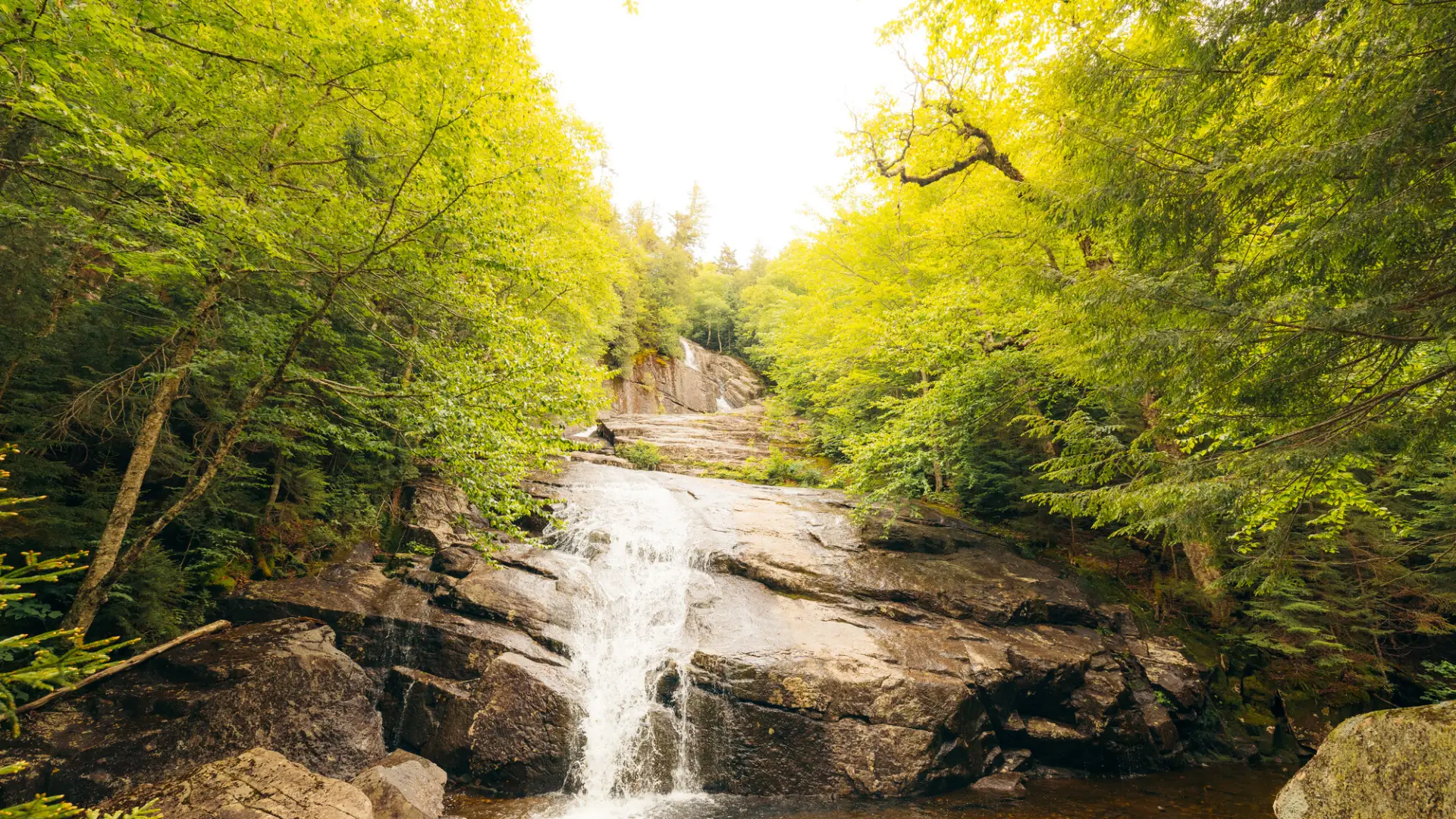
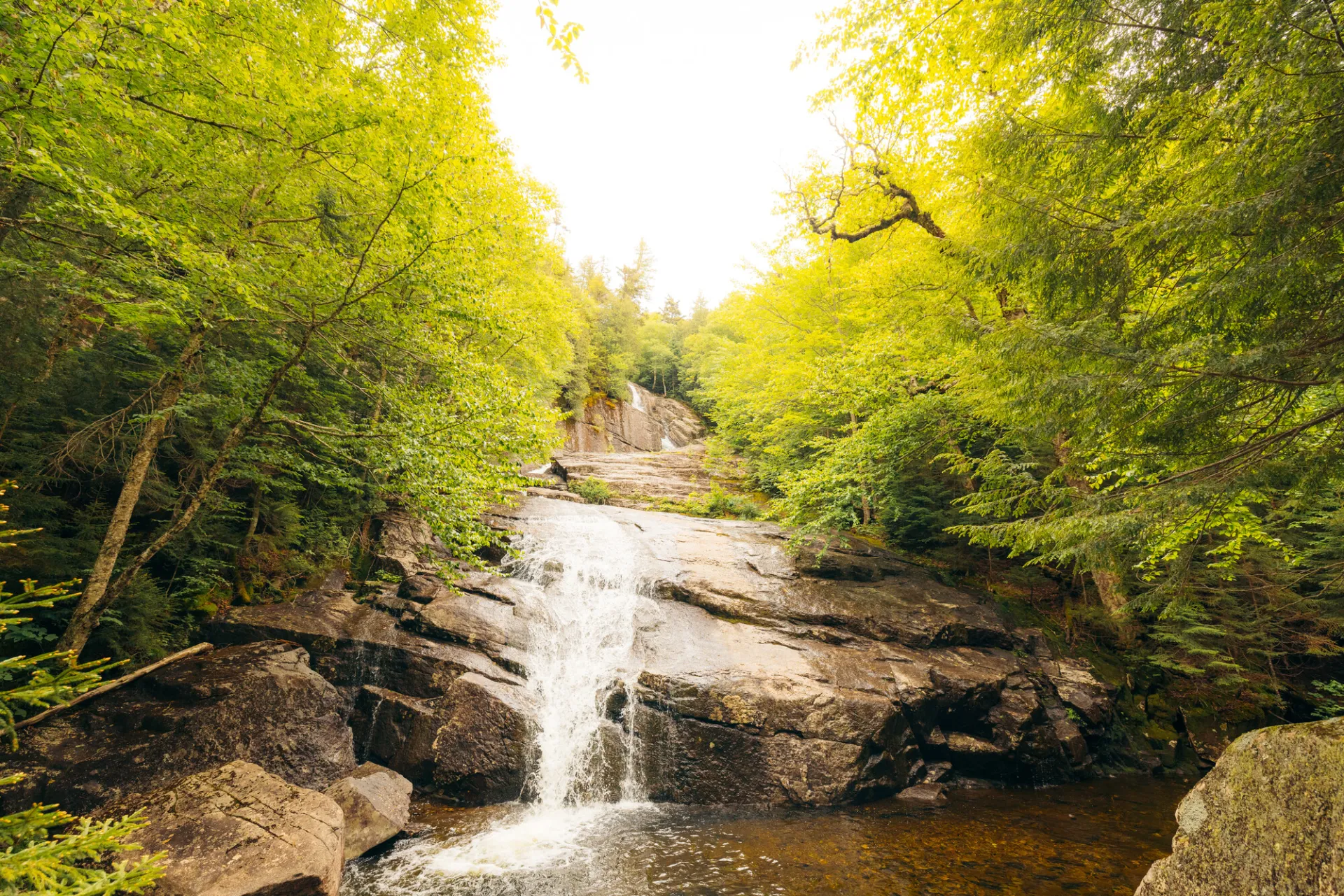
The trail, now relatively flat, crosses a large brook at 4.8 mi, and crosses two more brooks before descending slightly to a bridge over the Chubb River at 6.1 mi. On the far side of the bridge the trail turns left and proceeds up the bank of the Chubb River to a side trail leading left at 6.7 mi. Turning left the route to Wanika Falls climbs steeply to a crossing of the Chubb River just above a small falls. The former lean-to site is on the far bank, 0.1 mi. from the main trail, while the actual Wanika Falls are about 100 yards above this point. There is a designated primitive tent site nearby.
Wanika Falls in the winter
The trail to Wanika Falls will likely not be broken out. Plan ahead, carry a map and compass, and be sure to let someone know where you are going and when you will return. Bring several extra non-cotton layers, a headlamp with spare batteries, extra food, a windbreaker, a face mask, and supplies for spending the night in case of an emergency.
Find your perfect trail near Lake Placid
Does Wanika Falls sound amazing, but a little more than you want to tackle right now? No need to stress, with over 2000 miles of hiking trails in the Adirondacks we are sure we can find the perfect hike for you.
How to get there
The trail starts on Averyville Road. From the junction of Routes 73 and 86 in Lake Placid, proceed 0.2 mi. east on Rt. 73 and turn right (south) on Station Street. At Old Military Rd., at 1.0 mi., there is a large DEC sign marking the start/terminus of the N-P Trail. Continuing straight ahead and now on Averyville Road, the trailhead is at a small turnout on the left at another 1.2 mi., just before a bridge over the Chubb River.
Emergency Information
Related Content

The trail to Wanika Falls can make for a perfect beginner's backpacking trip, or a long day hike for a seasoned hiker or trail runner.