
- Out and Back
- Bushwhack
- Out and Back
- Bushwhack
- Out and Back
- Bushwhack


About
TR Mountain is a trailless peak, and hikers should keep that in mind when planning a trip. In the 1990s, this mountain was named by New York Governor George Pataki. Of course, TR stands for Teddy Roosevelt, who was a New York governor prior to becoming president of the United States. A successful hike of TR Mountain involves research, physical fitness, the right gear, navigational expertise, and knowledge of Leave No Trace principles.
Key takeaways
- Mountain elevation: 3820 feet
- Distance: 4.25 miles round trip (0.5 miles of bushwhacking)
- Elevation gain: 1,950 feet
Hiking TR Mountain
This hike is a bushwhack and requires the use of a map and compass. and/or a GPS, to safely complete.
Leaving from the parking lot at the High Peaks Information Center, follow the Van Hoevenberg Trail toward Marcy Dam. The trail has some ups and downs for 2.3 miles before reaching Marcy Dam. The trail takes a sharp left and goes over a bridge across the water. There is another trail register here; please be sure to sign in again. Take a right at the register and then a left at the next junction, following blue markers. The trail continues to gradually climb to Phelps Brook at 2.5 miles. From here there are some stream crossings and campsites. At 3.2 miles the trail to Phelps Mountain comes in on the left. Continue straight and climb steeply to the junction near Indian Falls.
Just before Indian Falls, the trail levels. You are due east of TR Mountain now, 0.25 miles away. This is where your bushwhack begins. There are a couple small clearings; one might have orange ribbon, apparently the highest point. There are no views from here. However, there is a viewpoint on the eastern edge of the summit looking toward Mount Marcy and Haystack.
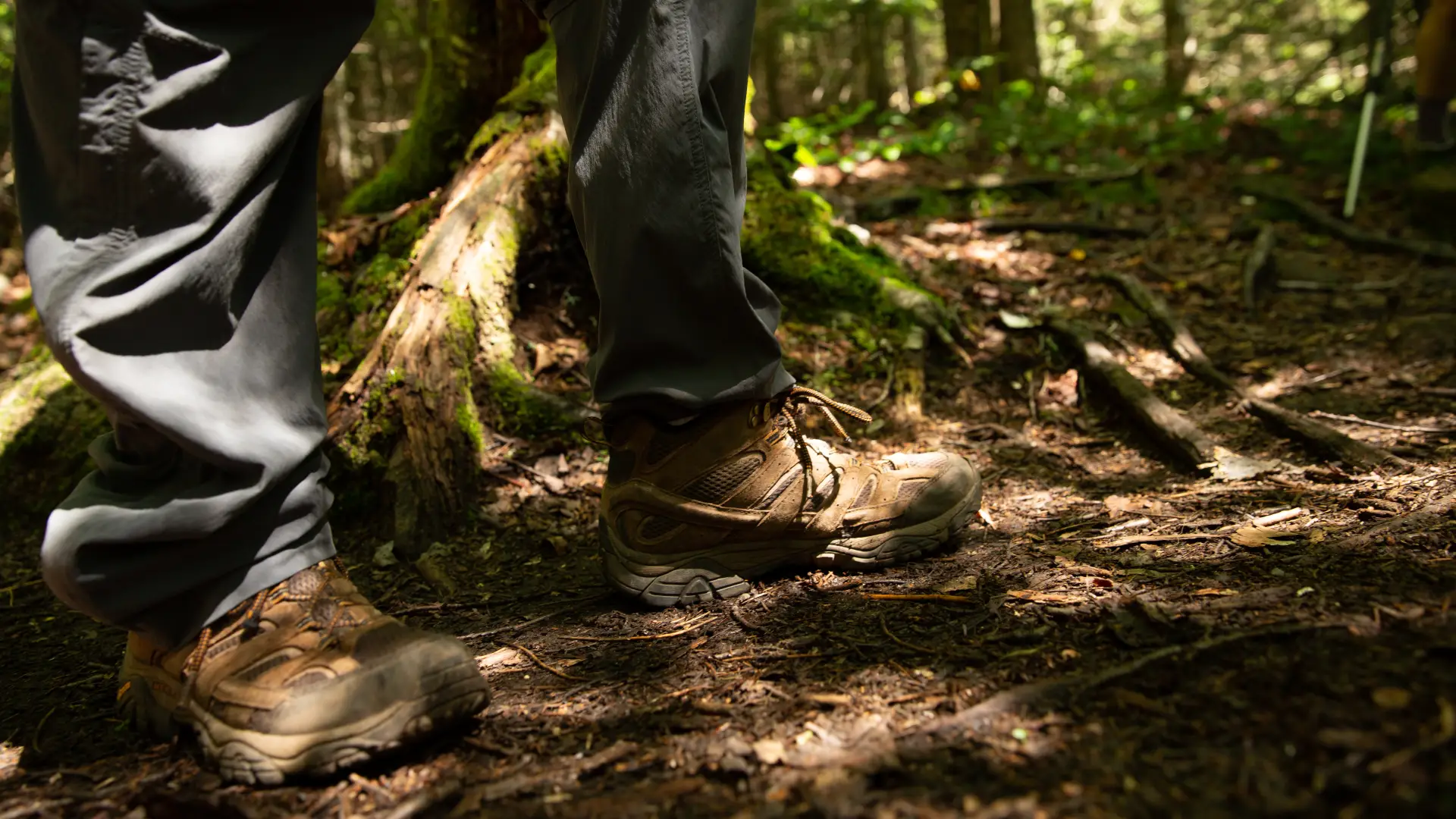
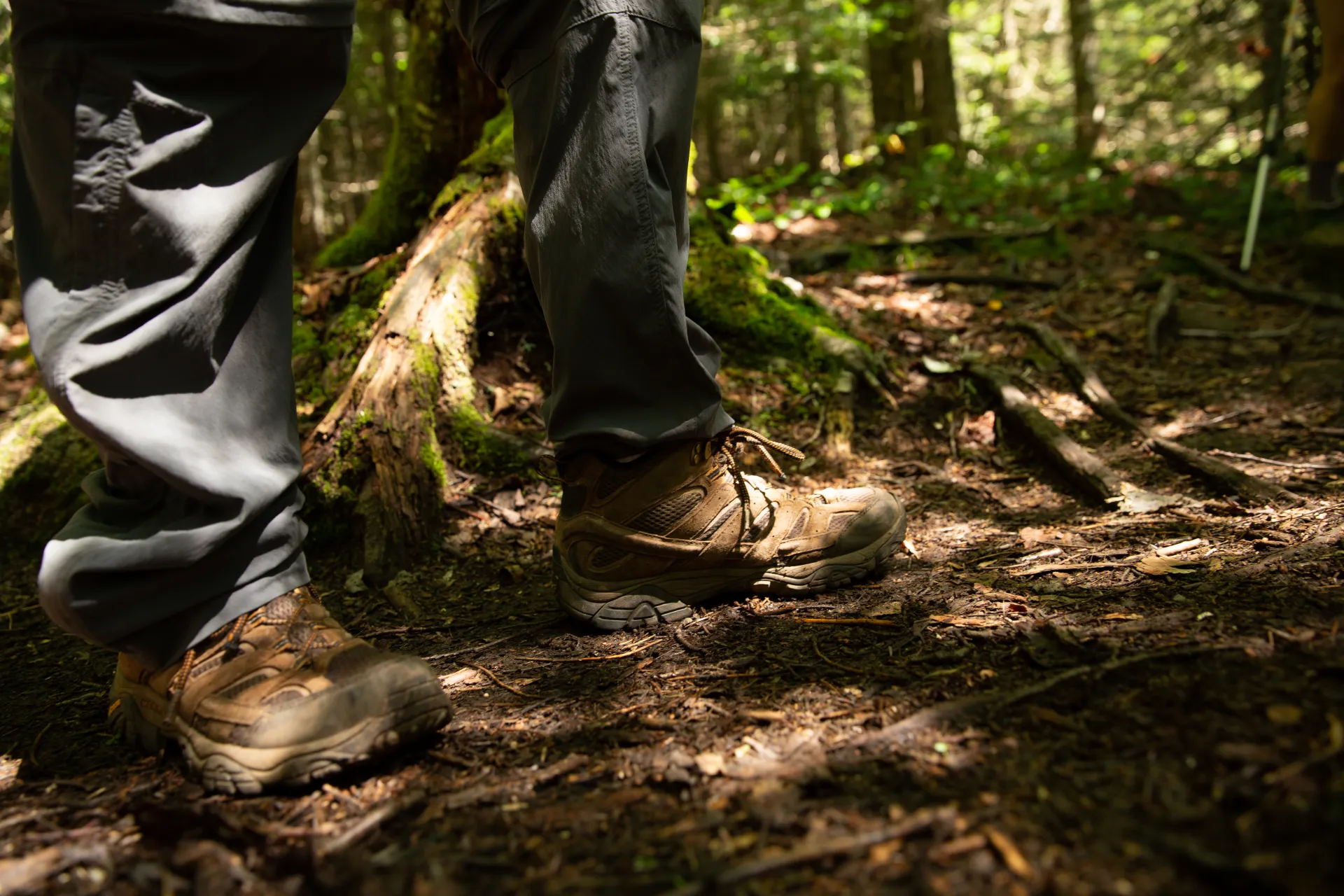
Bushwhacking
Be mindful that bushwhacking is only for experienced hikers. For this particular trailless peak, you should have knowledge of map and compass fundamentals, prior bushwhacking experience, and all the proper gear.
Find your perfect trail near Lake Placid
Does TR Mountain sound amazing, but a little more than you want to tackle right now? No need to stress, with over 2000 miles of hiking trails in the Adirondacks we are sure we can find the perfect hike for you.
How to get there
The best way to approach this mountain is from the Van Hoevenberg Trail leading to Mt. Marcy. Hikers can reach this from the Adirondack Mountain Club's Adirondack Loj property. To get there, travel on Route 73 out of Lake Placid toward Keene. There is a sign marking the way to the Loj on Route 73. Turn right there and follow the road all the way to the end. There is a parking fee.