Round Trip
0.8 miles
1.3 kilometers

Elevation
The height of the summit or destination, from sea level.
2070 feet
630.9 meters

Elevation Gain
The total amount of vertical ascent (uphill climbing) on a hike. This is cumulative gain, totalling the elevation change of the uphill segments from a round-trip hike.
30 feet
9.1 meters

Route Type
A hiking trail may be classified as a Loop, Out and Back, Point to Point, Bushwhack, or Multi-day Thru Hike, with some destinations having more than one of these ways as a hiking option.
  • Out and Back
Round Trip
0.8 miles
1.3 kilometers

Route Type
A hiking trail may be classified as a Loop, Out and Back, Point to Point, Bushwhack, or Multi-day Thru Hike, with some destinations having more than one of these ways as a hiking option
  • Out and Back
Elevation
The height of the summit or destination, from sea level.
2070 feet
630.9 meters

Elevation Gain
The total amount of vertical ascent (uphill climbing) on a hike. This is cumulative gain, totalling the elevation change of the uphill segments from a round-trip hike.
30 feet
9.1 meters

Round Trip
0.8 miles
1.3 kilometers

Route Type
A hiking trail may be classified as a Loop, Out and Back, Point to Point, Bushwhack, or Multi-day Thru Hike, with some destinations having more than one of these ways as a hiking option
  • Out and Back
Elevation
Lorem ipsum dolor sit amet consectetur. Phasellus cursus malesuada tincidunt placerat non maecenas. Viverra morbi aliquam neque id nibh lorem massa quam non.
2070 feet
630.9 meters

Elevation Gain
The total amount of vertical ascent (uphill climbing) on a hike. This is cumulative gain, totalling the elevation change of the uphill segments from a round-trip hike.
2070 feet
9.1 meters

A meadow with moving water
View all photos
trail highlights
trail features
trail category
Lakes/Ponds
Unmarked Trail
Short

About

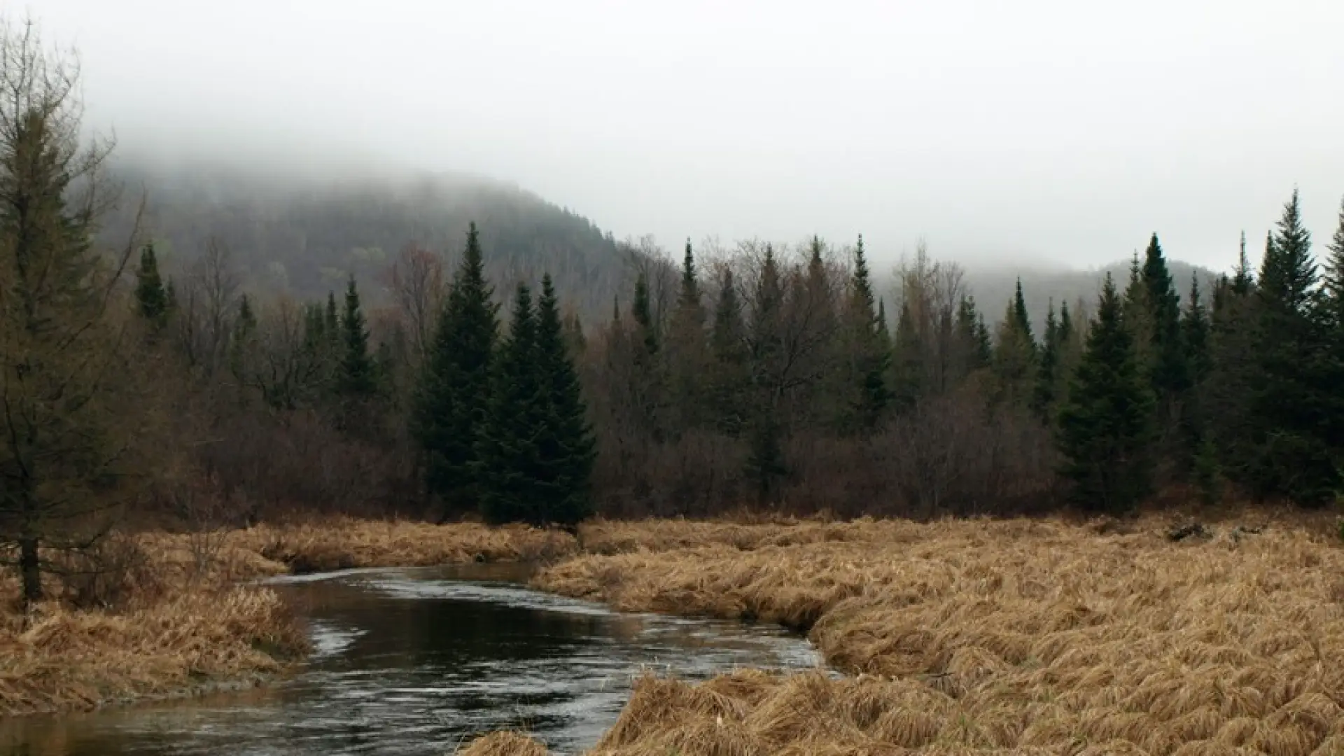
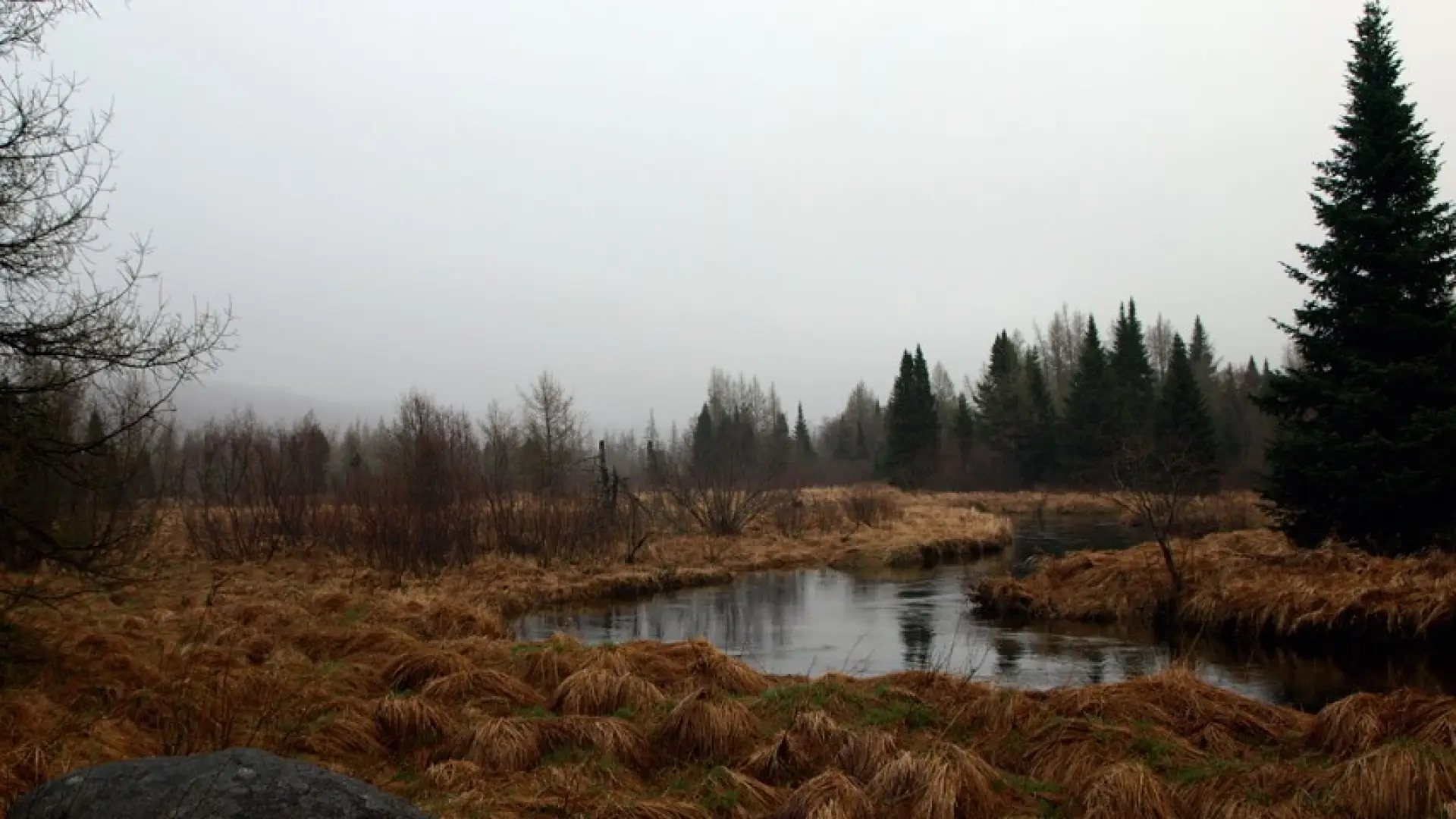
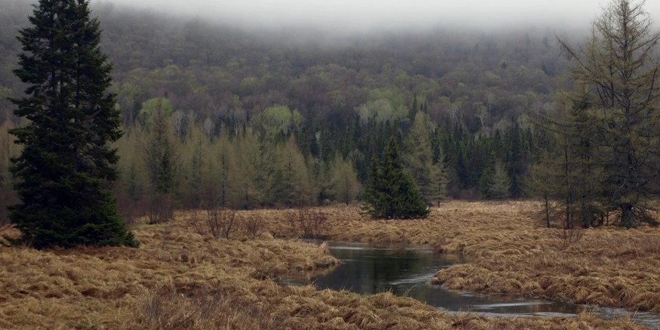
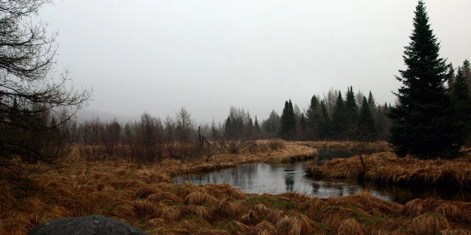
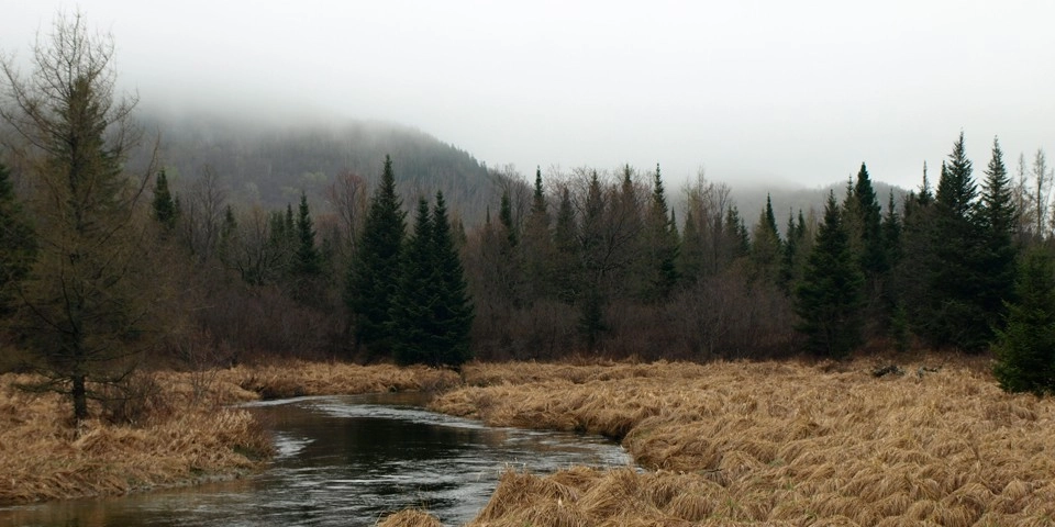
You may think of South Meadow as simply as a place to park your car when hiking into the High Peaks Region, but it’s so much more than that. It’s a birding destination, a wildflower hunting ground, and an amazing scenic opportunity. The trail is only a vague path and is not marked in any way, but the woods and grassy areas are open and walkable.

Key takeaways

  • Distance: 0.8 miles round trip, roughly
  • Hike includes unmkared

Hiking to South Meadow

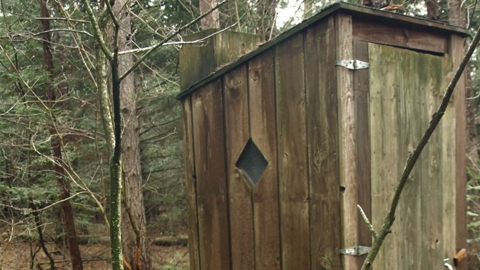
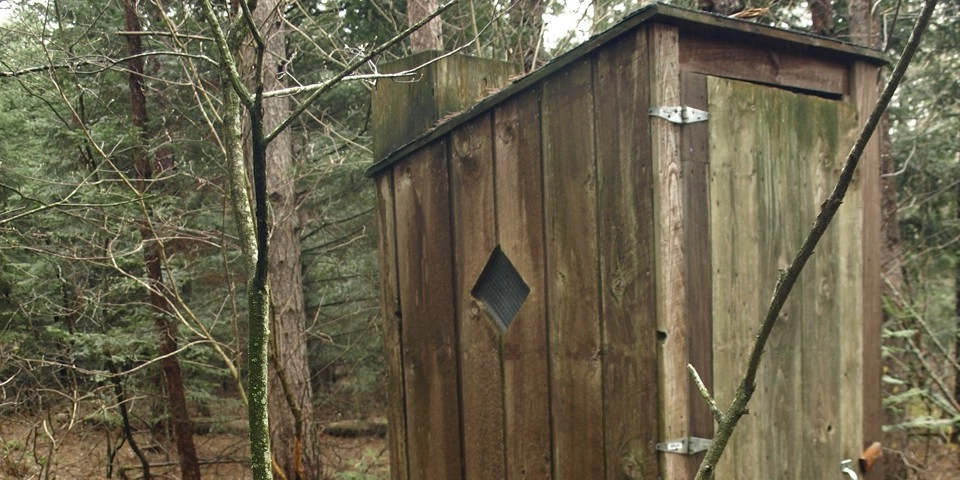
From the parking area, locate a wood outhouse on the left and then locate the herd-path located in that general region. Alternatively, start along the red-marked Klondike Trail for 100 yards and then go left through the grasses. Once on the herd path it will proceed over gentle grades through an open forest.

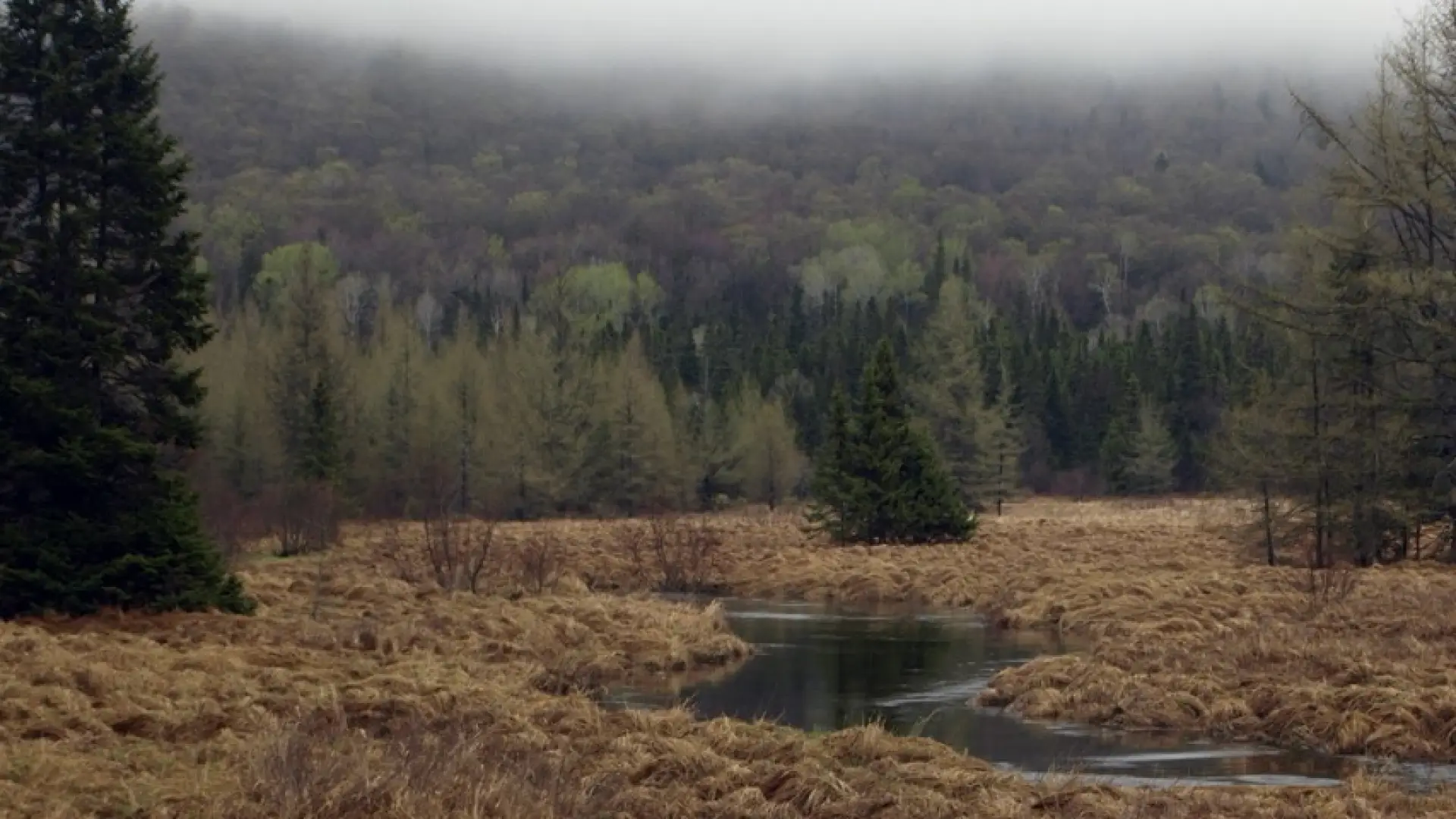
Keep South Meadow on your right, it can be seen through the trees.

Find your perfect trail

Want to find another perfect hike? Lake Placid and the surrounding areas have so many more trails waiting for you!

Birding

A grassy meadow bisected by a wide brook offers a blend of habitats. This area is protected by the High Peaks to the south and the Sentinel Range to the north.

Habitat: slow moving river, meadow, and forest

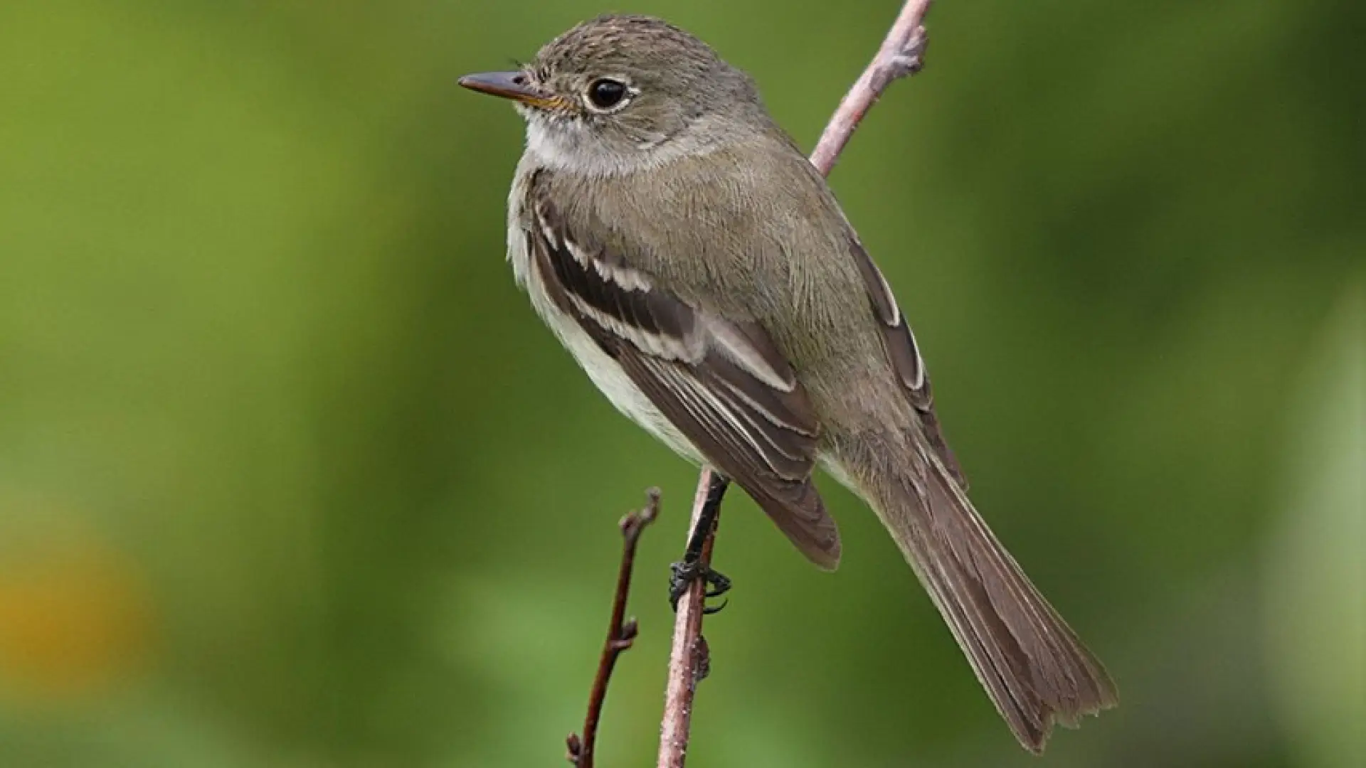
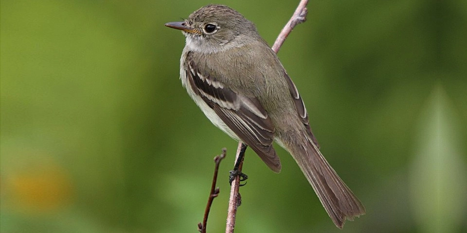
Featured birds: woodpeckers; Swamp Sparrow; Boreal Chickadee; Black-and-white, Tennessee, Nashville, and Black-throated Blue Warblers; Alder Flycatcher; Least Flycatcher; and more!

How to get there

Leave Lake Placid on Route 73, follow Route 73 toward Keene. Take the first right after the ski jumps onto Adirondack Loj Road. Then about 3.8 miles down this road, take a left onto Meadow Lane. Follow this somewhat rough road for 1.0 mile all the way to the end at the parking lot. This section is blocked off in the winter by large boulders, but can be skied when there's good snow. 


Emergency Information
If you get lost or injured, remain calm and stay put. If you have cell service, call 911 or the DEC Forest Ranger Dispatch, 833-NYS-RANGERS (833-697-7264).
 
Plan ahead and hike smart. Bring a map, extra food, water, and warm clothing, and check the weather before you go. Stay aware of your surroundings and landmarks. If you get turned around, don’t panic—stop, think, and stay where you are. Let someone know your route and expected return time.
Additional Info
South Meadow trail map