- Out and Back
- Out and Back
- Out and Back


About
Hiking New York's 34th tallest mountain
Seymour Mountain is the 34th highest of the Adirondack 46 High Peaks. It is a steep, serious hike that requires significant preparation. A successful hike of Seymour involves research, physical fitness, the right gear, and knowledge of Leave No Trace principles. Seymour Mountain is the stand alone peak of the Seward Range, and for most hikers it is climbed on a separate day than the other three High Peaks in the Seward Range.
Key takeaways
- Elevation: 4,120 feet
- Elevation gain: approximately 2,870 feet
- Distance: 14 miles round trip
- Hike includes trail junctions, bridges, and unmarked trail
Hiking Seymour Mountain
The main trail up Seymour is via a drainage to the north. The initial portion of the hike is along the well-used Blueberry Trail, which can be very busy during the summer months. If you plan to camp in any of the lean-tos along the way, keep this in mind. After 4.5 miles of flat to rolling terrain, you will come to the Ward Brook Truck Trail. Take a right here and continue over rolling hills along an old wood road. Just past the Ward Brook lean-to on your right, look for the Seymour herd-path – it will be marked with a cairn at its side.
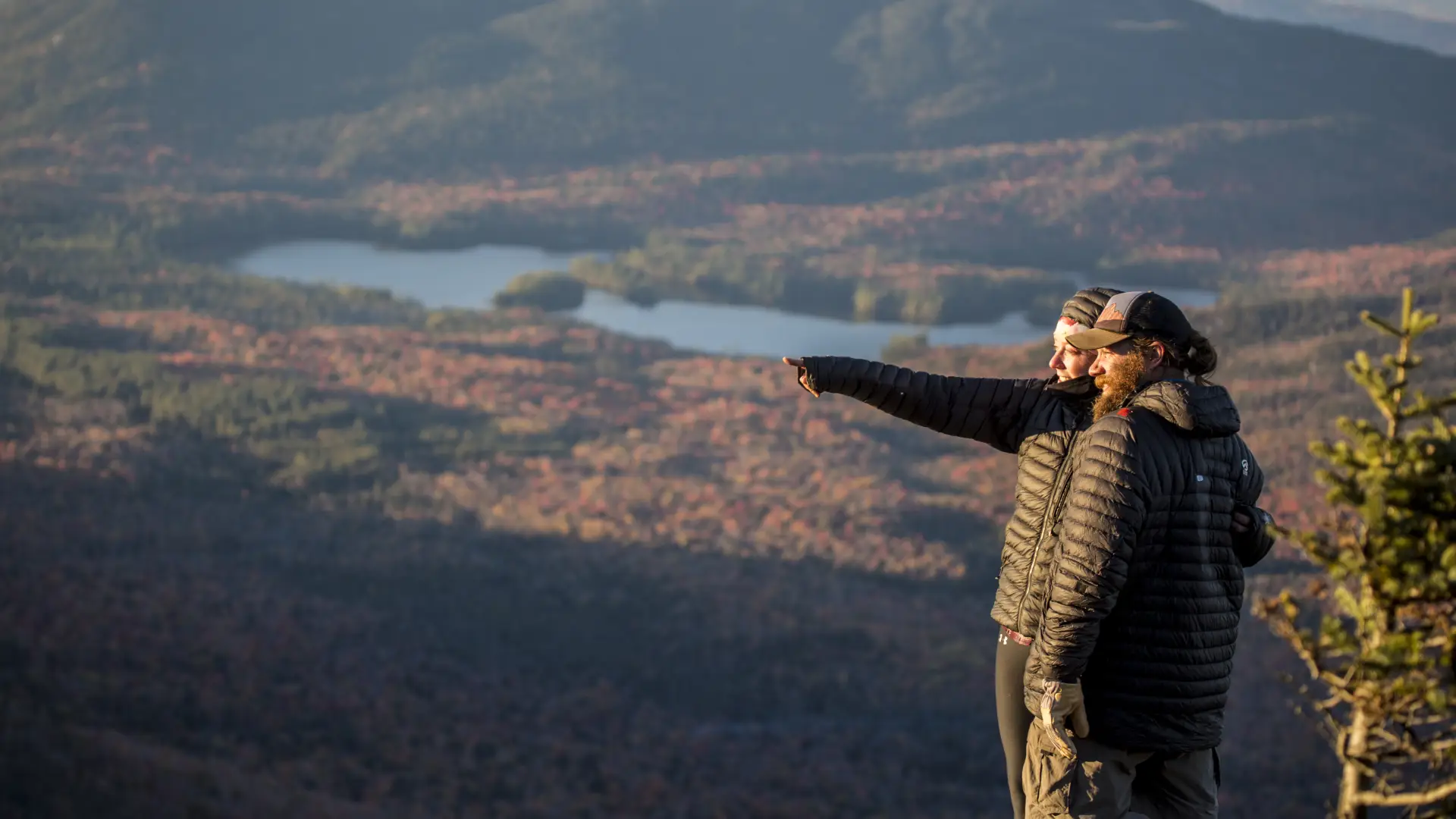
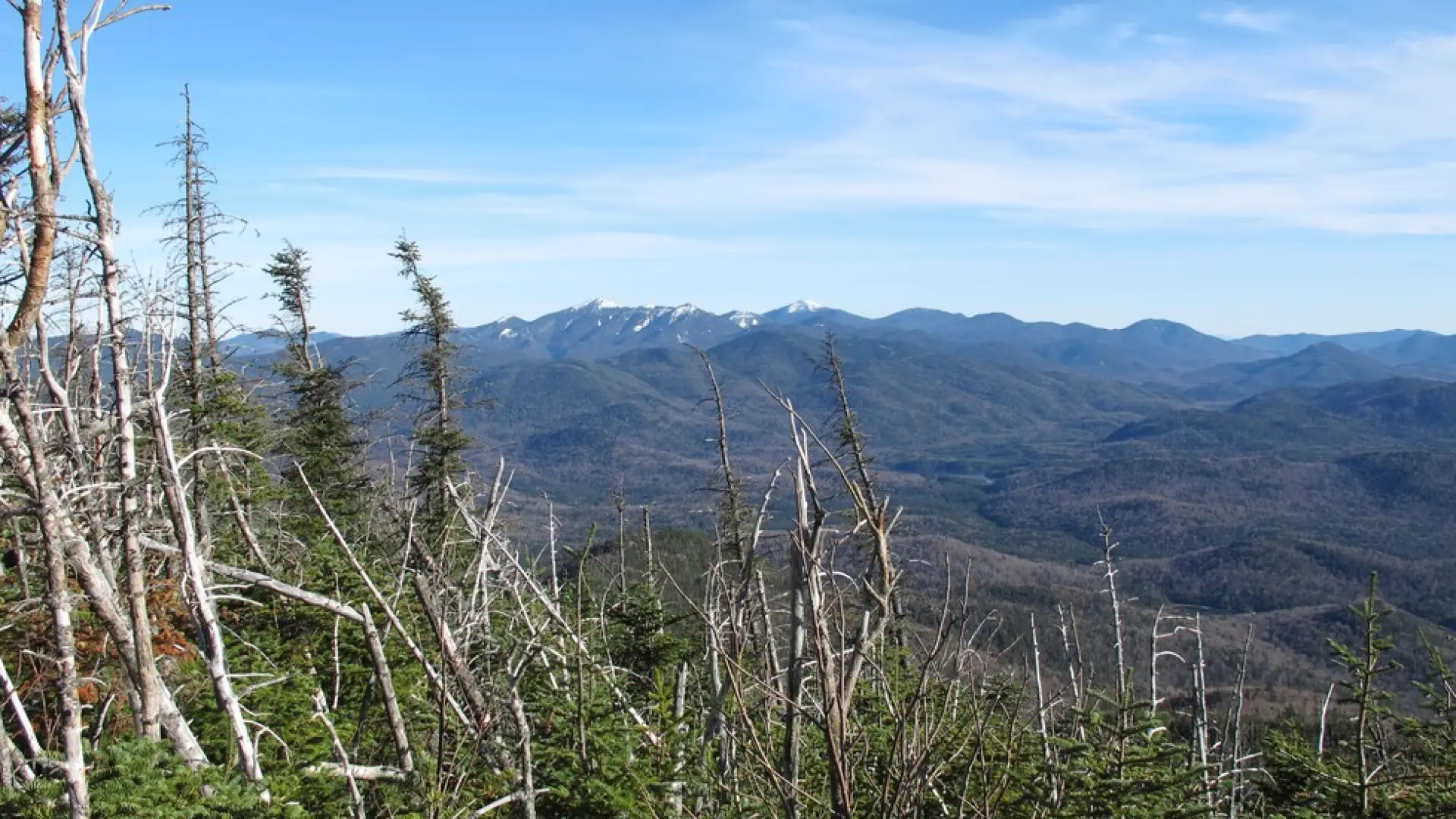
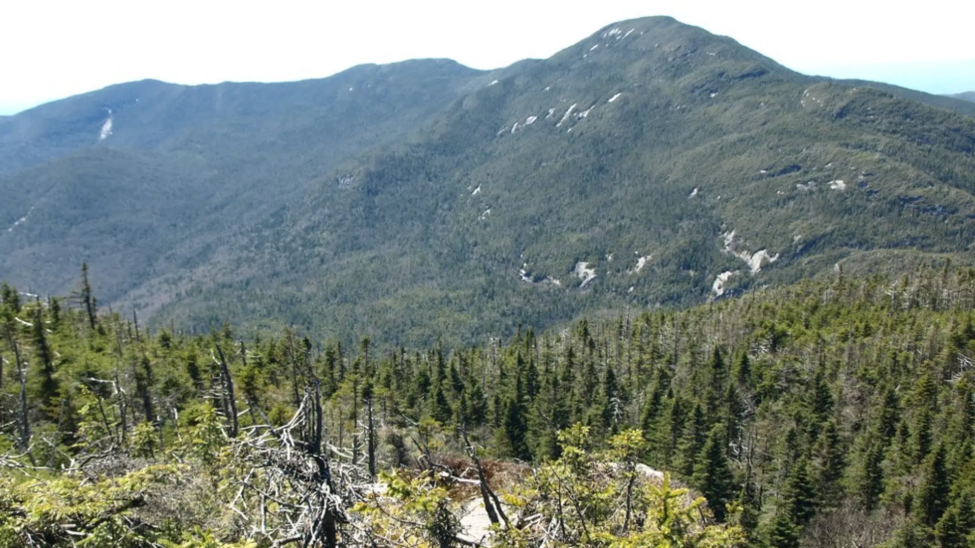
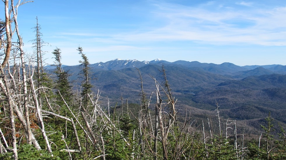
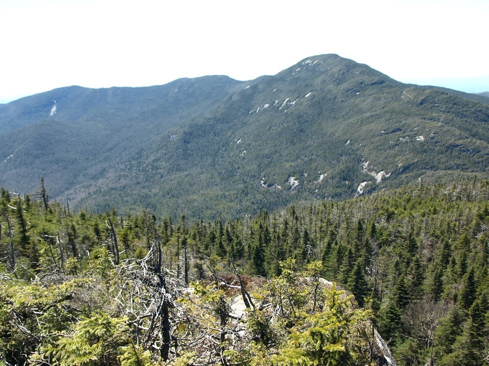
The herd path starts out moderate and follows an attractive brook but quickly becomes much steeper and then continuously steep up the shoulder of the peak. The footing is very tough and steep and in many cases extremely slippery, be extra careful on the descent. The final approach to the summit mellows out a bit, but opens up a couple stellar views from a couple viewing platforms. Don’t miss the view from a ledge about 0.1 miles below the top. Move over the summit a bit, to additional viewing out over the scrub spruce.
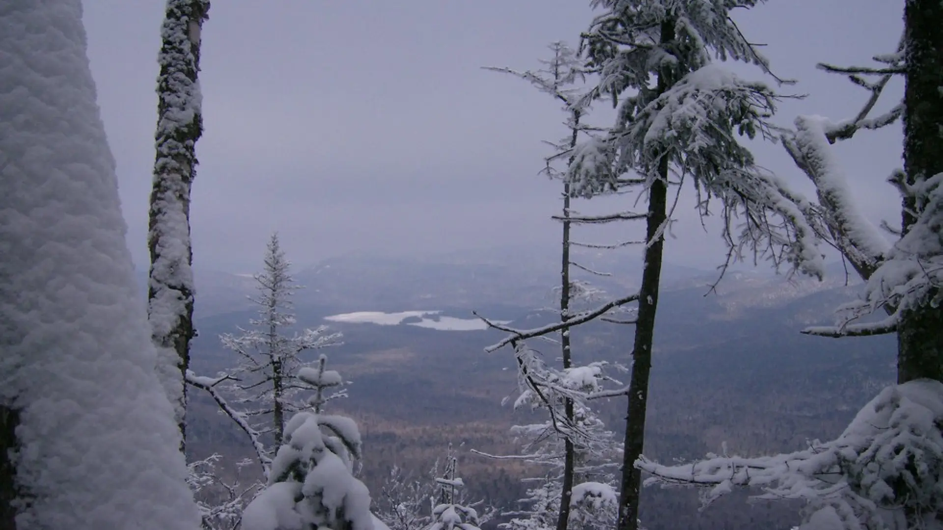
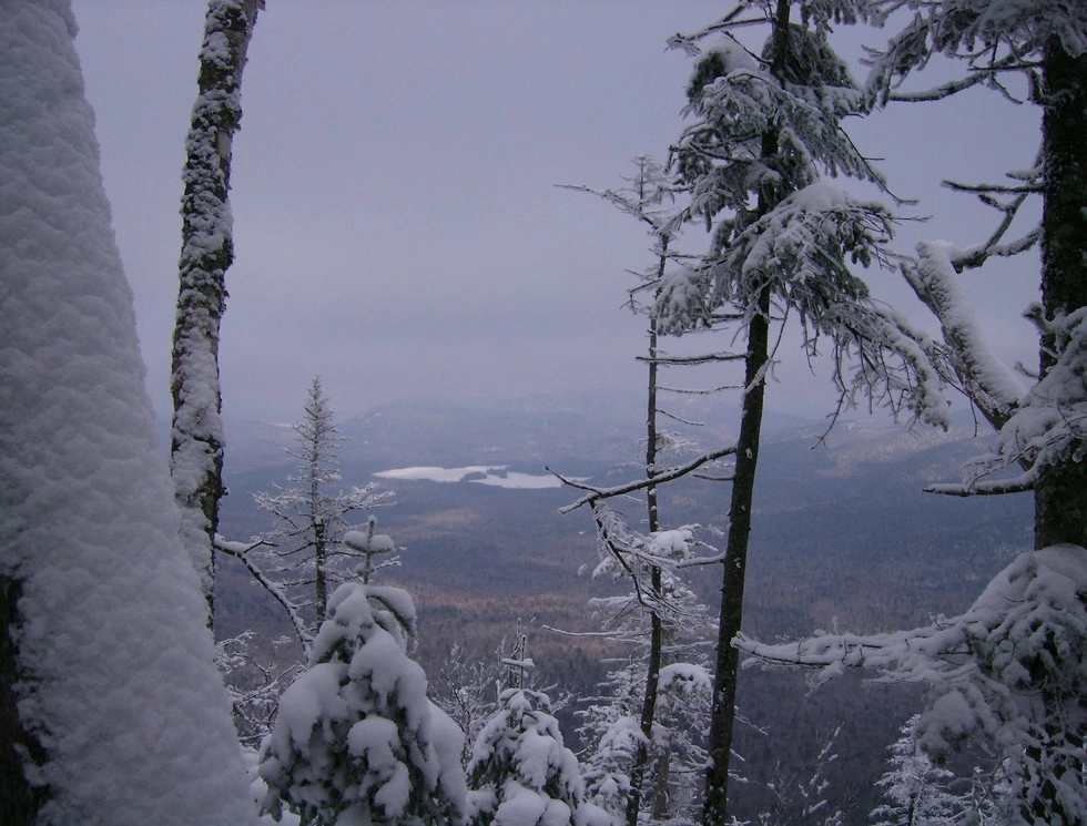
Seymour in the winter
Seymour is a challenging mountain that should only be attempted by experienced hikers, especially in winter, so make sure you are prepared. Snowshoes are necessary, and snow spikes or crampons are often needed to climb the steep upper reaches of the peak. Plan on temperatures in the higher elevations being at least 20 degrees colder than at the trailhead, not including the windchill. Bring several extra non-cotton layers, a headlamp with spare batteries, extra food, a windbreaker, goggles, a face mask, and supplies for spending the night in case of an emergency. When the road is closed in the winter, skiing the road in, along with portions of the trail to the base of the mountain, is a good option.
Find your perfect trail
Does Seymour sound amazing, but a little more than you want to tackle right now? No need to stress, with over 2000 miles of hiking trails in the Adirondacks we are sure we can find the perfect hike for you.
How to get there
From Lake Placid, follow Route 86 toward Saranac Lake. Once in Saranac Lake, turn left onto Route 3 and stay on this route toward Tupper Lake. Stay on Route 3 for 12.5 miles. Then, turn left onto Corey's Road. Follow Corey's Road for 2.5 miles, until it turns into Ampersand Road. Stay the course and continue along the gravel road for another 3.0 miles. A parking lot is on the right.
Be advised, in winter, this road either A) may not be maintained or B) closed due to conditions. In this case, you will have to park at the trailhead for Raquette Fall, which adds significant milage to the hike. Please check with local guides or outfitters to see if Corey's Road is open.