Round Trip
4.6 miles
7.4 kilometers

Elevation
The height of the summit or destination, from sea level.
2100 feet
640.1 meters

Elevation Gain
The total amount of vertical ascent (uphill climbing) on a hike. This is cumulative gain, totalling the elevation change of the uphill segments from a round-trip hike.
400 feet
121.9 meters

Route Type
A hiking trail may be classified as a Loop, Out and Back, Point to Point, Bushwhack, or Multi-day Thru Hike, with some destinations having more than one of these ways as a hiking option.
  • Out and Back
Round Trip
4.6 miles
7.4 kilometers

Route Type
A hiking trail may be classified as a Loop, Out and Back, Point to Point, Bushwhack, or Multi-day Thru Hike, with some destinations having more than one of these ways as a hiking option
  • Out and Back
Elevation
The height of the summit or destination, from sea level.
2100 feet
640.1 meters

Elevation Gain
The total amount of vertical ascent (uphill climbing) on a hike. This is cumulative gain, totalling the elevation change of the uphill segments from a round-trip hike.
400 feet
121.9 meters

Round Trip
4.6 miles
7.4 kilometers

Route Type
A hiking trail may be classified as a Loop, Out and Back, Point to Point, Bushwhack, or Multi-day Thru Hike, with some destinations having more than one of these ways as a hiking option
  • Out and Back
Elevation
Lorem ipsum dolor sit amet consectetur. Phasellus cursus malesuada tincidunt placerat non maecenas. Viverra morbi aliquam neque id nibh lorem massa quam non.
2100 feet
640.1 meters

Elevation Gain
The total amount of vertical ascent (uphill climbing) on a hike. This is cumulative gain, totalling the elevation change of the uphill segments from a round-trip hike.
2100 feet
121.9 meters

A small, dual waterfall flowing into a pool
trail highlights
trail features
trail category
Lakes/Ponds
Waterfall
Trail Junctions
Short

About

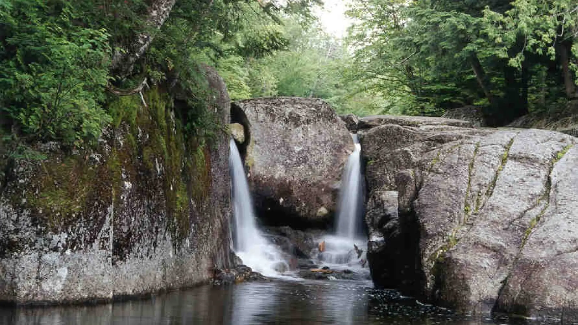
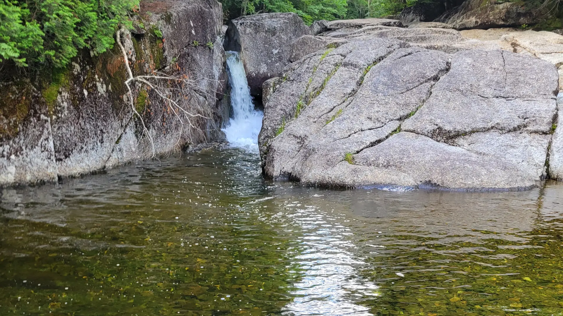
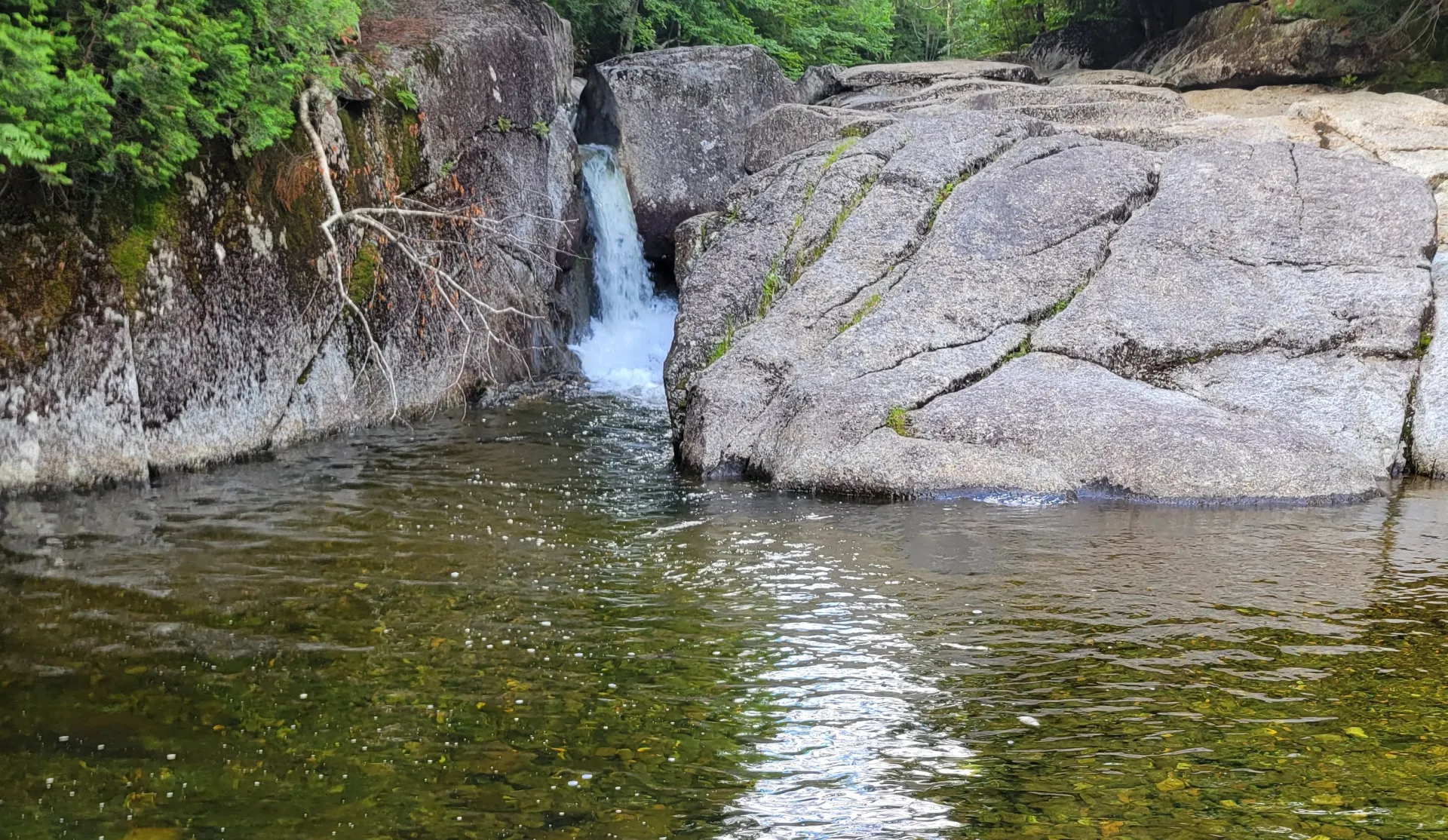
This is a gentle walk to a lovely, miniature waterfall. This hike's charm is the easier route and the lovely setting.

Key takeaways

  • Distance: 4.6 miles round trip
  • Elevation gain: 400 feet
  • Elevation: 2,100 feet

Hiking to Rocky Falls

From the parking lot at the High Peaks Information Center at the end of Adirondack Loj Road, return to the entrance station and find the trail at the far corner of the snowplow turnaround. Follow signs to the Indian Pass trail, which first proceeds along the shore of Heart Lake and then heads to the southwest on a gently rolling profile. At 2.1 miles from Adirondack Loj, go right on a spur trail that leads about 100 yards to Indian Pass Brook.

If the water isn't too high, cross the brook and follow the trail up the other side to a lean-to and the falls. Alternatively, follow a somewhat overgrown trail up the near side to the falls and a possible crossing to the lean-to.

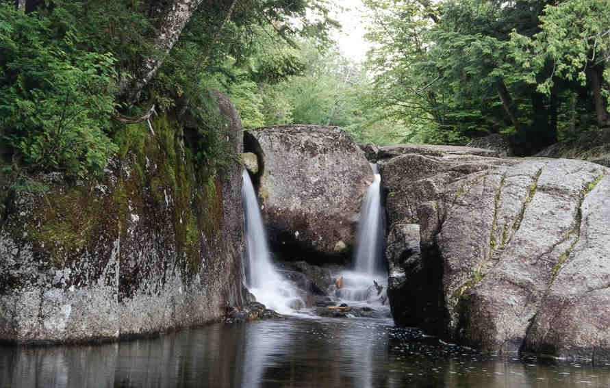
Rocky Fall in the winter

This is a great option to get out and snowshoe! Be cautious near the waterfall, especially in winter, as things can be slippery with ice. Being prepared is necessary for any winter hike.

Find your perfect trail near Lake Placid

Want to find another perfect hike? Lake Placid has so many more trails waiting for you!

How to get there

From the intersection of state Route 73 and 86 in Lake Placid, follow Route 73 toward Keene. Continue to Adirondack Loj Road on the right, and follow it to the hiker parking area. There is a parking fee.

Emergency Information
If you get lost or injured, remain calm and stay put. If you have cell service, call 911 or the DEC Forest Ranger Dispatch, 833-NYS-RANGERS (833-697-7264).
 
Plan ahead and hike smart. Bring a map, extra food, water, and warm clothing, and check the weather before you go. Stay aware of your surroundings and landmarks. If you get turned around, don’t panic—stop, think, and stay where you are. Let someone know your route and expected return time.