Round Trip
0.6 miles
1.0 kilometers

Elevation
The height of the summit or destination, from sea level.
1355 feet
413.0 meters

Elevation Gain
The total amount of vertical ascent (uphill climbing) on a hike. This is cumulative gain, totalling the elevation change of the uphill segments from a round-trip hike.
80 feet
24.4 meters

Route Type
A hiking trail may be classified as a Loop, Out and Back, Point to Point, Bushwhack, or Multi-day Thru Hike, with some destinations having more than one of these ways as a hiking option.
  • Out and Back
Round Trip
0.6 miles
1.0 kilometers

Route Type
A hiking trail may be classified as a Loop, Out and Back, Point to Point, Bushwhack, or Multi-day Thru Hike, with some destinations having more than one of these ways as a hiking option
  • Out and Back
Elevation
The height of the summit or destination, from sea level.
1355 feet
413.0 meters

Elevation Gain
The total amount of vertical ascent (uphill climbing) on a hike. This is cumulative gain, totalling the elevation change of the uphill segments from a round-trip hike.
80 feet
24.4 meters

Round Trip
0.6 miles
1.0 kilometers

Route Type
A hiking trail may be classified as a Loop, Out and Back, Point to Point, Bushwhack, or Multi-day Thru Hike, with some destinations having more than one of these ways as a hiking option
  • Out and Back
Elevation
Lorem ipsum dolor sit amet consectetur. Phasellus cursus malesuada tincidunt placerat non maecenas. Viverra morbi aliquam neque id nibh lorem massa quam non.
1355 feet
413.0 meters

Elevation Gain
The total amount of vertical ascent (uphill climbing) on a hike. This is cumulative gain, totalling the elevation change of the uphill segments from a round-trip hike.
1355 feet
24.4 meters

A large waterfall from above
View all photos
trail highlights
trail features
trail category
Waterfall
Trail Junctions
Short

About

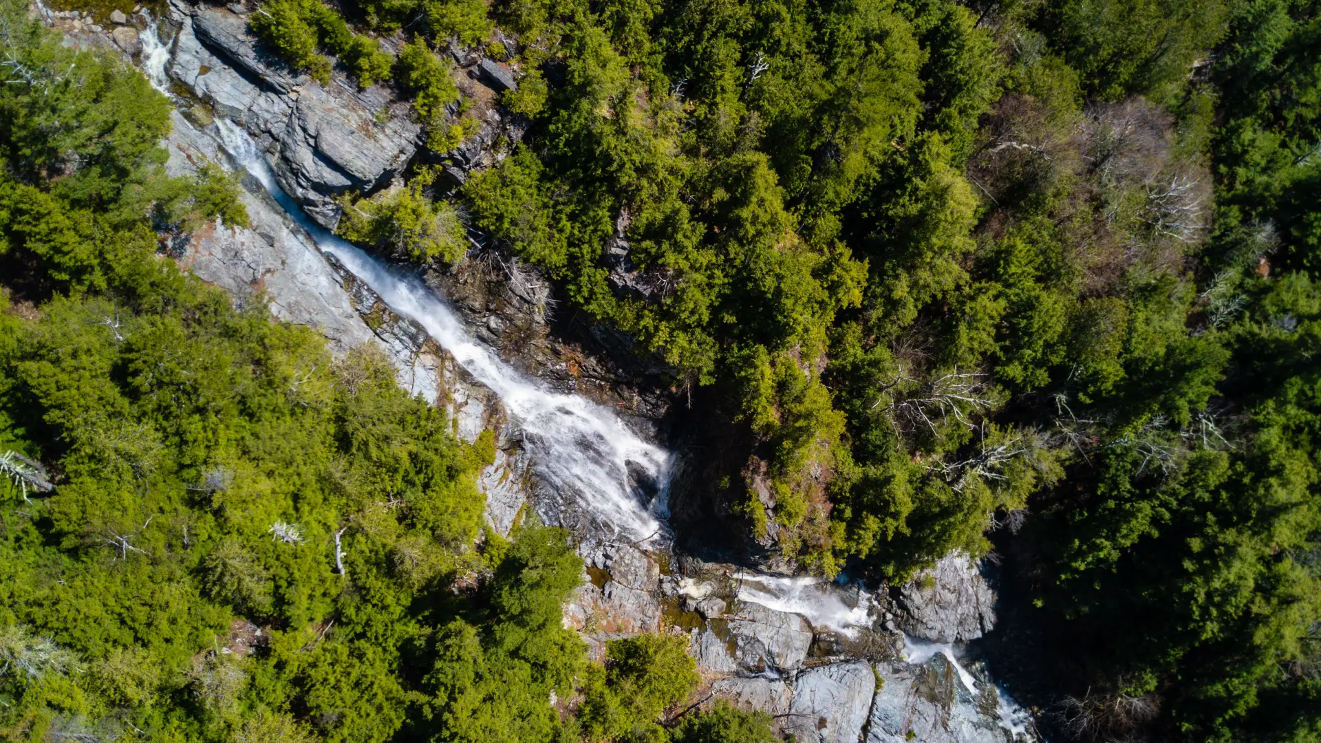
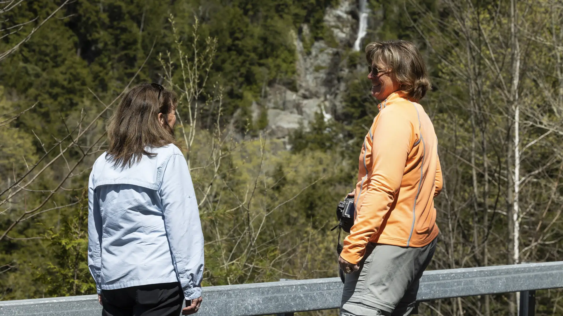
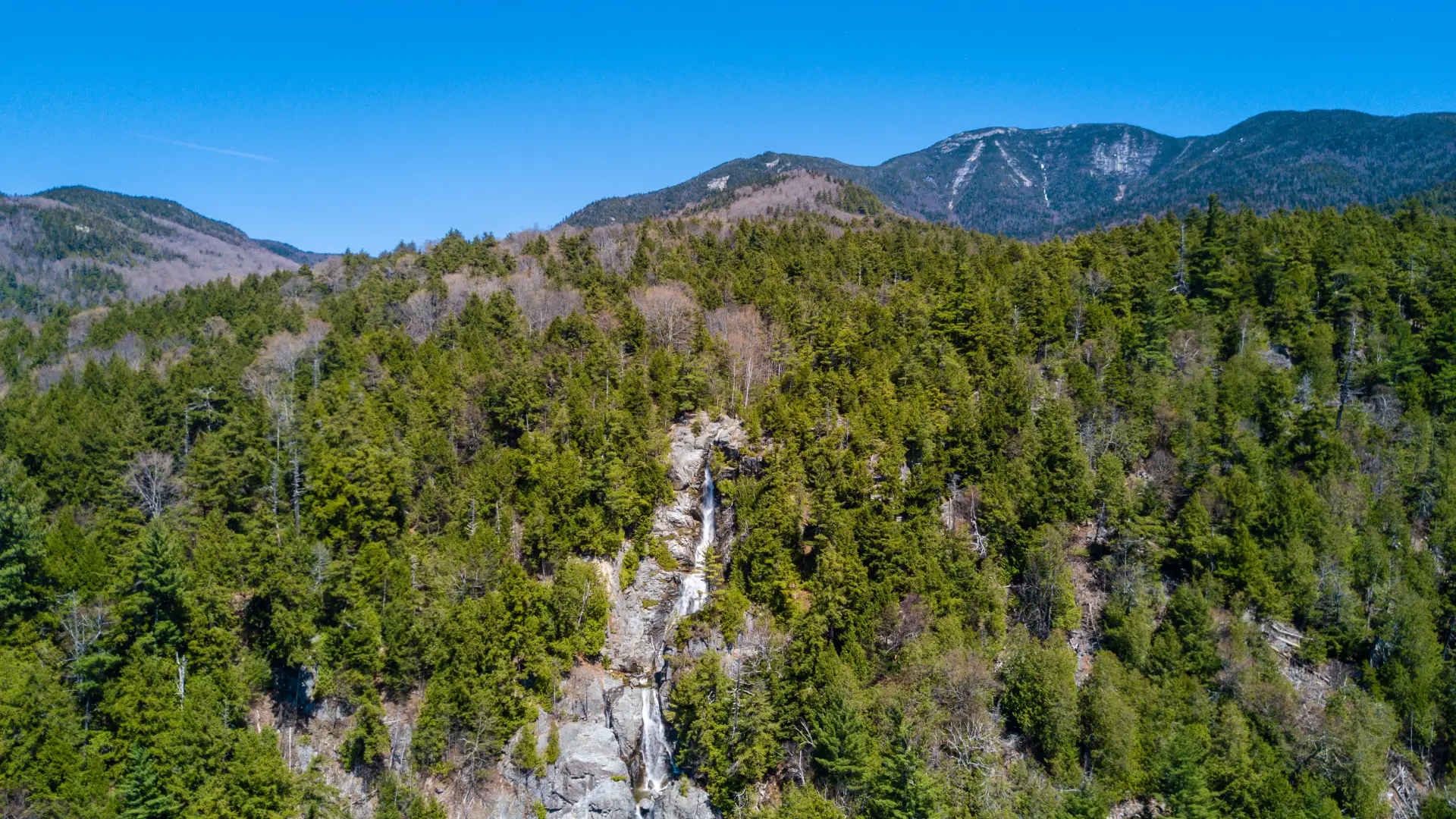
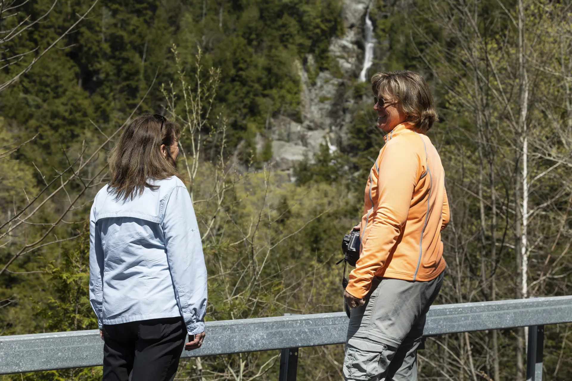
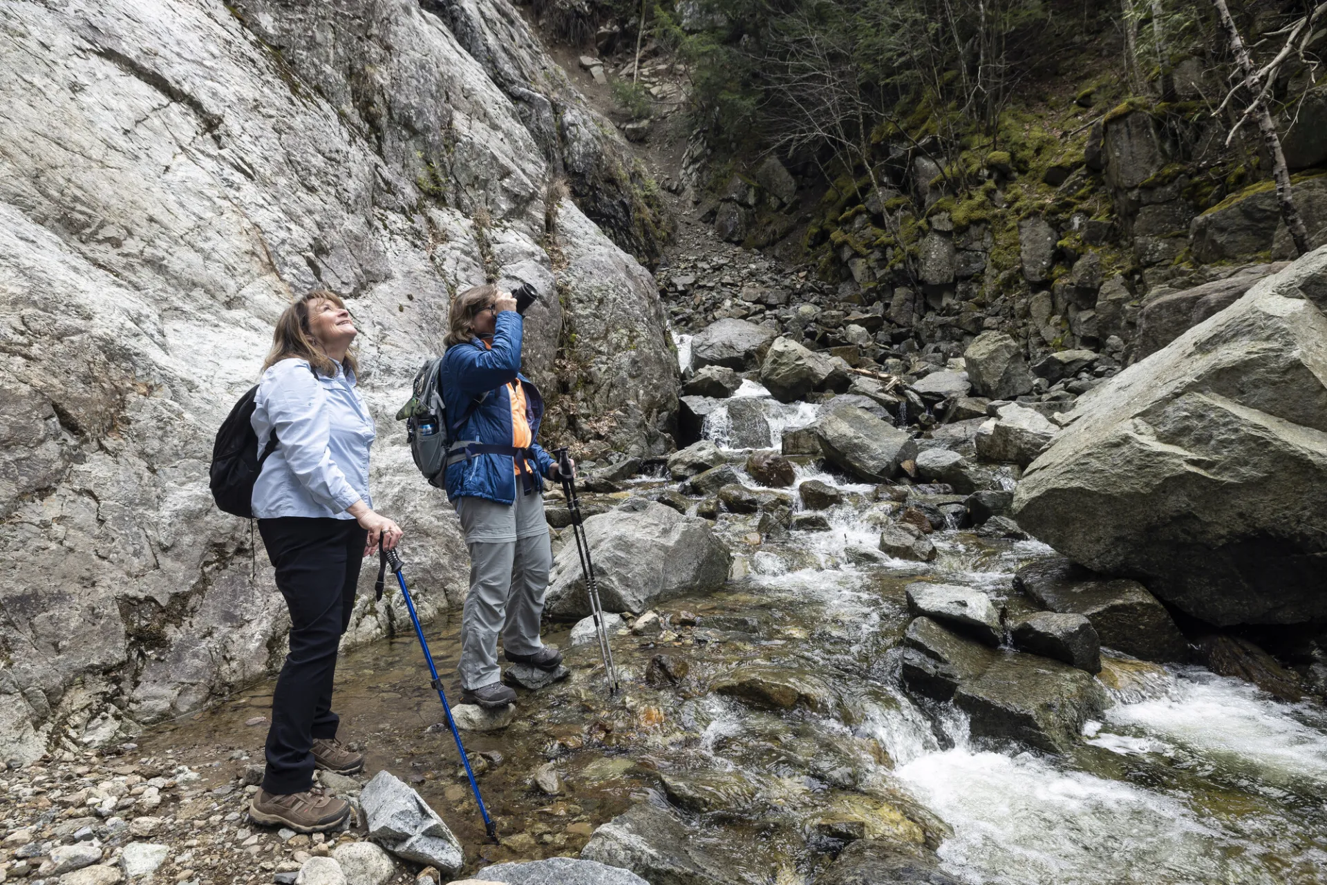
Roaring Brook Falls is visible from the road at a pull off, but now you can see it up close via a short hiking trail.

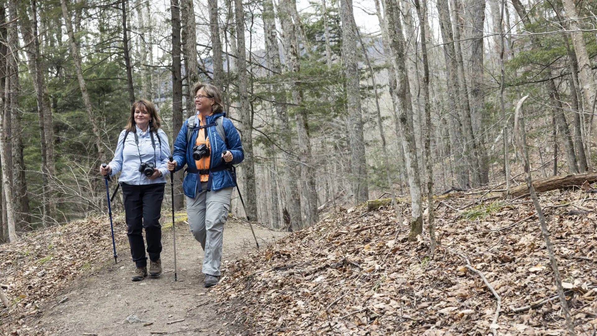
Hiking to Roaring Brook Falls

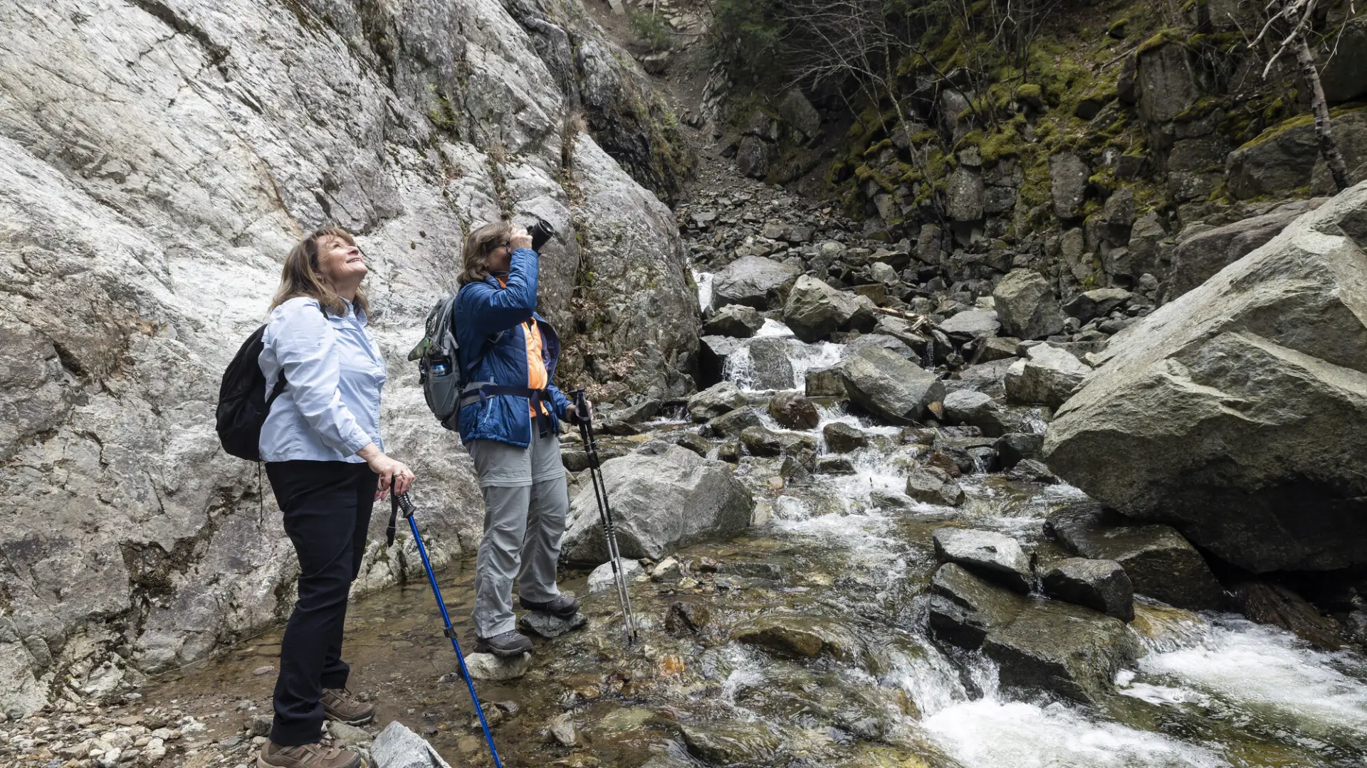
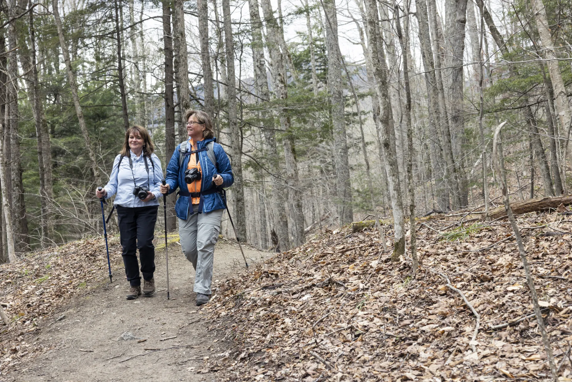
The 0.3 mile trail to the base of the falls is nearly flat. A trail left at a junction a few yards from the register leads to views from the top of the falls in 0.5 miles. Keep the river to the right and you will arrive at the base of Roaring Brook Falls. Slides from 1963 widened this site to the spectacular look it has today.

Roaring Brook Falls in the winter

The snowshoe to the bottom of the falls is a good option for beginners in the winter, but if you decide to hike around to the top, please use care and don't step on the frozen water or near the edge of the cliff on top. Wear proper traction devices at all times, and be prepared for winter conditions. 

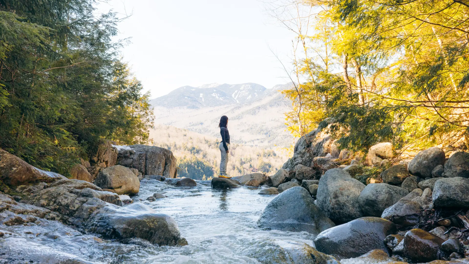
Find your perfect trail near Keene Valley

Does Roaring Brook Falls sound amazing, and you want to add another short hike to your trip? With over 2000 miles of hiking trails in the Adirondacks we are sure we can find the perfect hike for you

How to get there

Route 73, 3.3 miles south of the High Peaks sign in Keene Valley, and 5.6 miles north of the junction of Route 9 & 73 in Underwood.

Emergency Information
If you get lost or injured, remain calm and stay put. If you have cell service, call 911 or the DEC Forest Ranger Dispatch, 833-NYS-RANGERS (833-697-7264).
 
Plan ahead and hike smart. Bring a map, extra food, water, and warm clothing, and check the weather before you go. Stay aware of your surroundings and landmarks. If you get turned around, don’t panic—stop, think, and stay where you are. Let someone know your route and expected return time.