- Loop
- Loop
- Loop


About
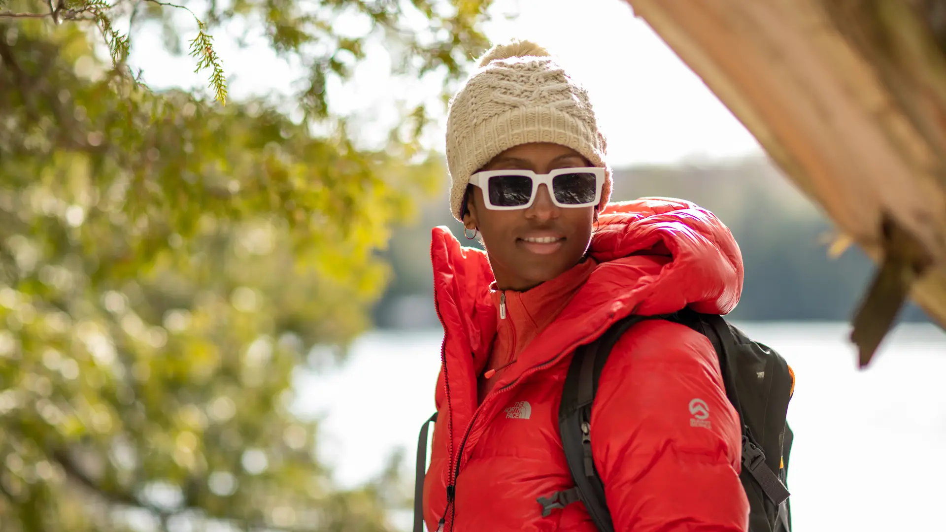
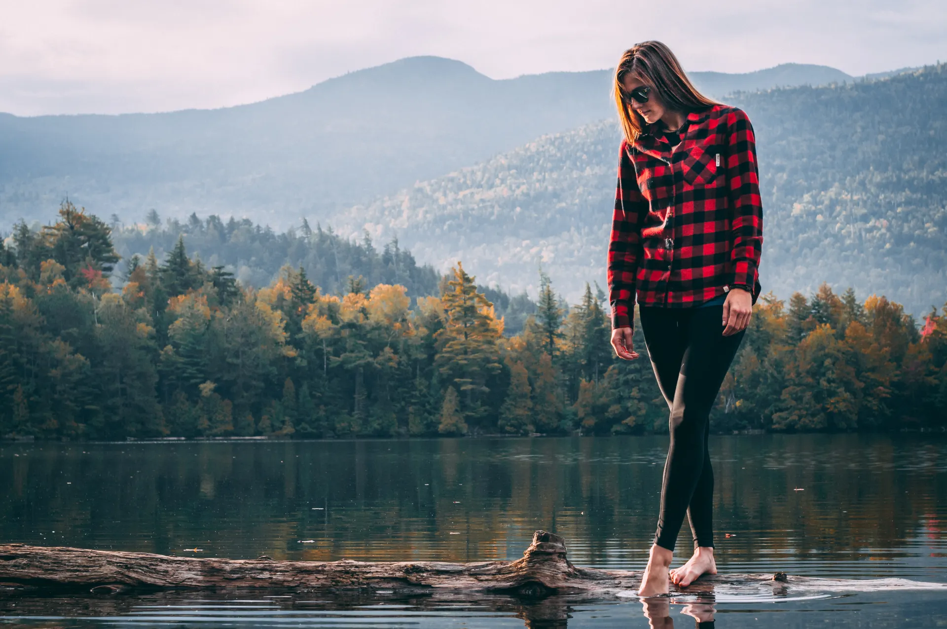
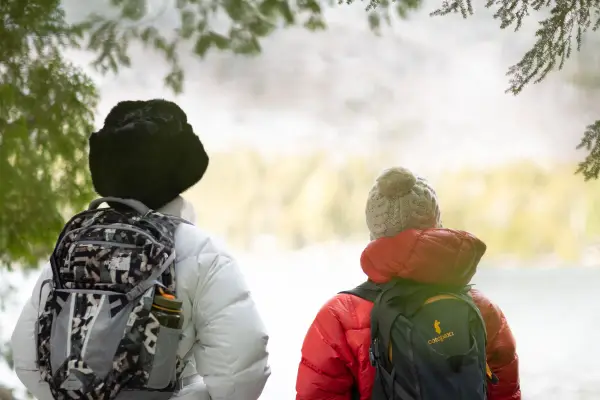
These three ponds are located in the Sentinel Range Wilderness Area and offer excellent loop opportunities. There are two trails that lead into the area and either can be used to create a loop to the three ponds. This trio of ponds offers all kinds of outdoor recreation along a good trail for all skill levels. In summer it has camping, swimming, and paddling. Hikers should learn about Leave No Trace principles before hiking any trail in the Adirondacks.
Key takeaways
- Distance: 2.6 miles
- Elevation gain: 500 feet
- Hike includes trail junctions
Hiking Owen, Copperas, and Winch Ponds
From the southern trailhead for Owen Pond start over a moderate course on the rerouted initial 0.2 miles. The new portion has been in use for a while, but there are still some very soft areas. You will quickly come to the original trail alongside a brook in an area that can typically be wet and slippery. As you pass by an erratic on your right, you will begin to slowly move away from the brook and climb slightly before dropping again to the brook, and eventually Owen Pond.
Past Owen Pond you will find the trail to be slightly more moderate than most of the other sections of this trail. You quickly get to Copperas Pond, with views of Whiteface Mountain over the far side. Passing through a camping area and over a long boardwalk you will come to an intersection. Right heads to Winch Pond and left goes along Copperas Pond and meets up with the northern trail approach to the region. For this loop follow left along Copperas Pond.
The tread here is narrow in spots and quickly comes to a trail sign pointing right. Go right, as left will take you to the lean-to on the shore of Copperas. Read more about this lean-to here. The trail now sweeps and goes over a few small hog-backs before it reaches another intersection. Follow here to the right to reach Winch Pond; left will bring you steeply down to Route 86, the northern trailhead.
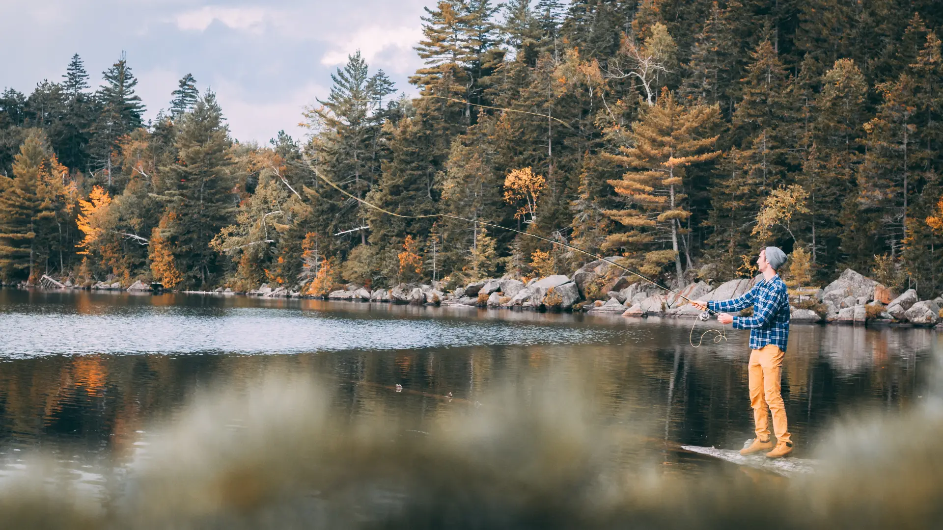
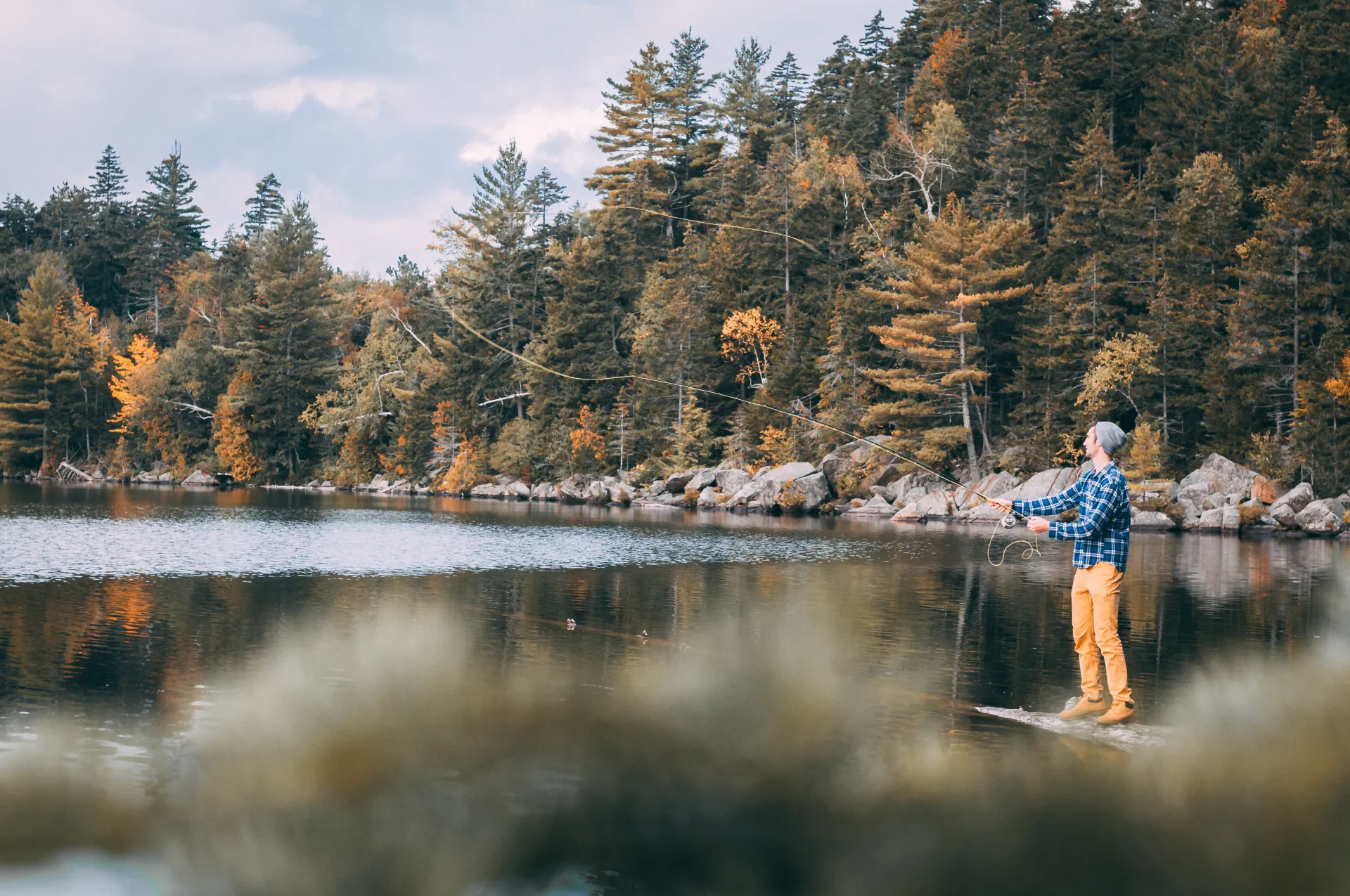
Fishing
Listed as one of the top brown trout waters in Essex County, Owen Pond was reclaimed in 1952 and remains an excellent fishery. The state annually stocks yearling browns here. Only 19 acres and just over 30 feet at its deepest, this body of water is home to browns, rainbows, and lake trout as well as some smallmouth, bullheads, and pumpkinseeds.
Paddling
This carry is a bit long, but not overly difficult to Owen Pond. The start is a tad narrow and windy, but short. Once on the old section of trail you will have a much wider tread under you, making it much easier to proceed efficiently while carrying a small canoe or kayak. The best launch is along the northern shore past the outlet. Footing can be a bit tricky along the pond. The ponds are very well sheltered and flat with mostly calm conditions; no motor boats allowed in this Wilderness Area.
Camping
Copperas Pond has one lean-to and two primitive tent sites. All are first come, first serve.
Swimming
Copperas Pond is also a great swimming hole during the hot days of summer.
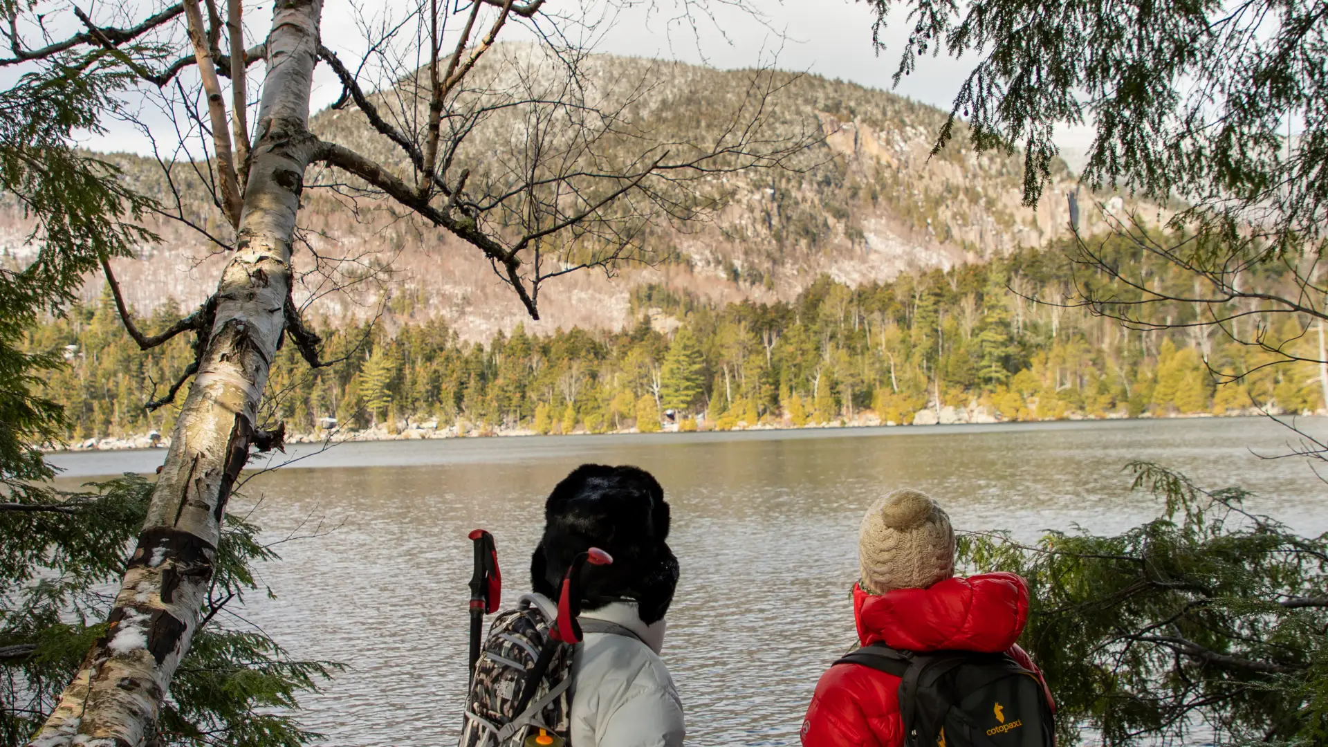
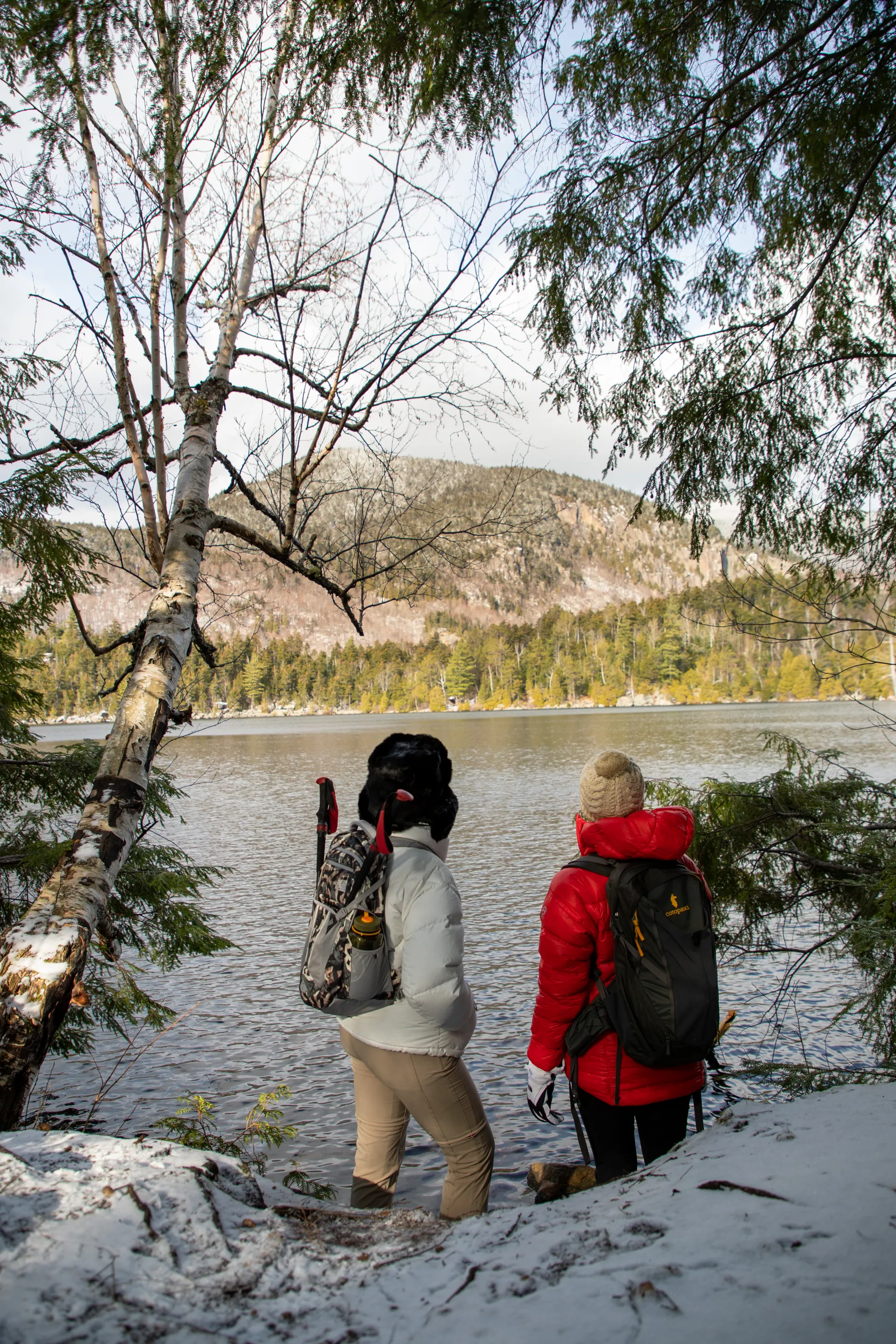
Owen, Copperas, and Winch in the winter
In winter, it is a scenic spot for snowshoeing, but cross-country skiing can be tougher on this trail. Expect a drop in temperature as elevation is gained, and be prepared for cold winds by the ponds. Always bring extra layers, especially for higher elevations, and don't hesitate to turn around if the weather starts to turn. Being prepared is necessary for any winter hike.
Find your perfect trail
Want to find another perfect hike? The surrounding region has so many more trails waiting for you!
How to get there
From the intersection of Route 86 and Route 73 in Lake Placid, follow Route 86 toward Wilmington. Continue for 5.5 miles to the southern trailhead on the right and an additional 1.1 miles to the northern trailhead also on the right.
Emergency Information
Related Content
We’re Adirondackers. We’re strong, we’re courageous, and we’re risk takers. We hike, bike, ski, and live here for one thing— the thrill of adventure. It’s the outdoors that center us, teach us, and help us connect. But adventures don't have to be big to b
It's almost winter! Snow is on the way! I have hiked many of the peaks in this region and always visit the local shops and sweet spots in town: this is quintessential Lake Placid, New York. There's no better place to be. A few years ago, I discovered...
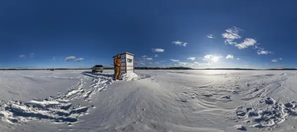
Lake Placid is the perfect place to get close to the mountains, so you might be surprised to learn there aren't any ice fishing opportunities in the lake-side village. I reached out to the regional state Department of Environmental Conservation...