- Multi-Day Thru Hike
- Multi-Day Thru Hike
- Multi-Day Thru Hike


About
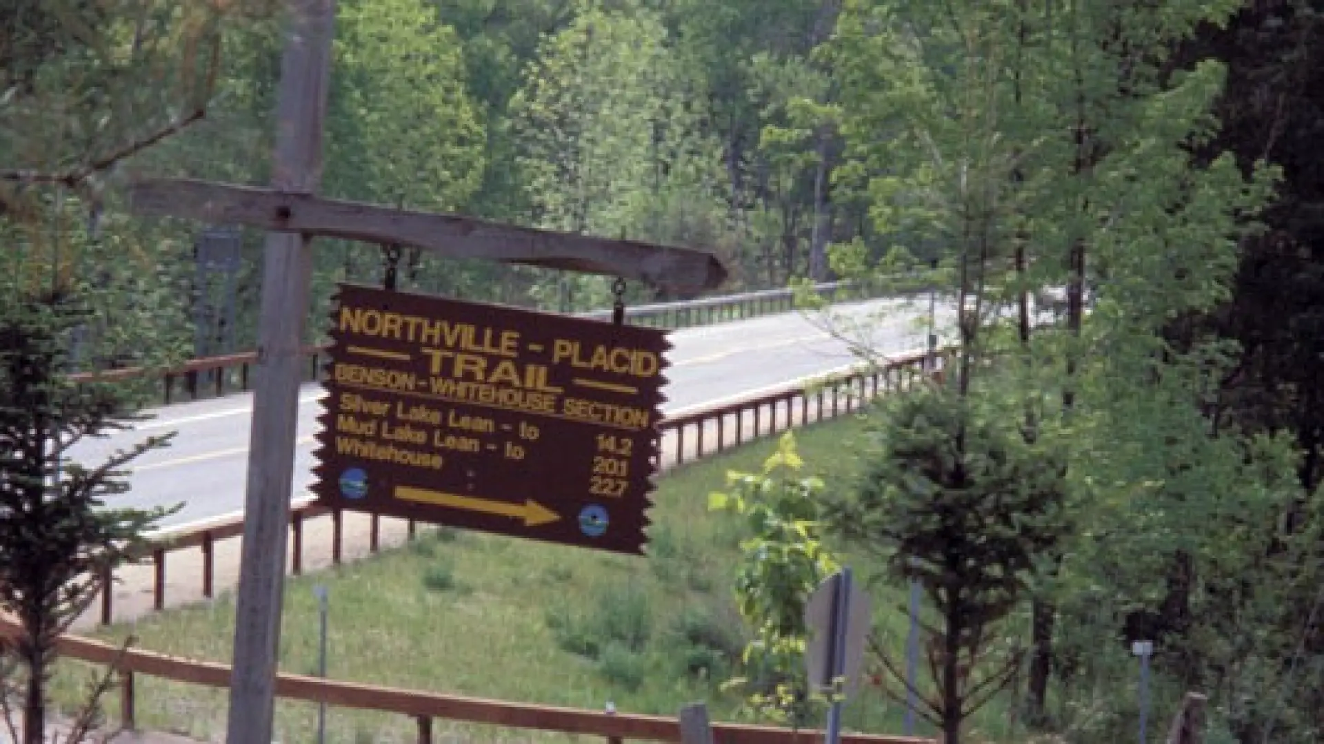
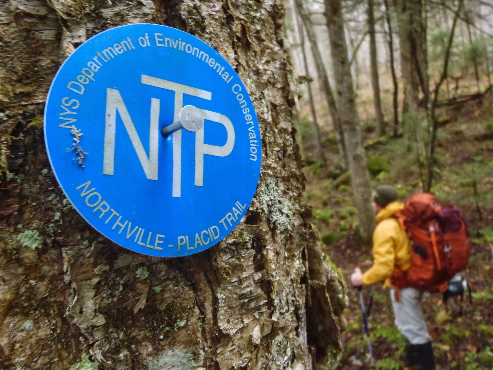
Back in 1922, the Adirondack Mountain Club created an alternate way to connect the train stations in two communities. It would connect the depots in Lake Placid and Northville.
Hiking
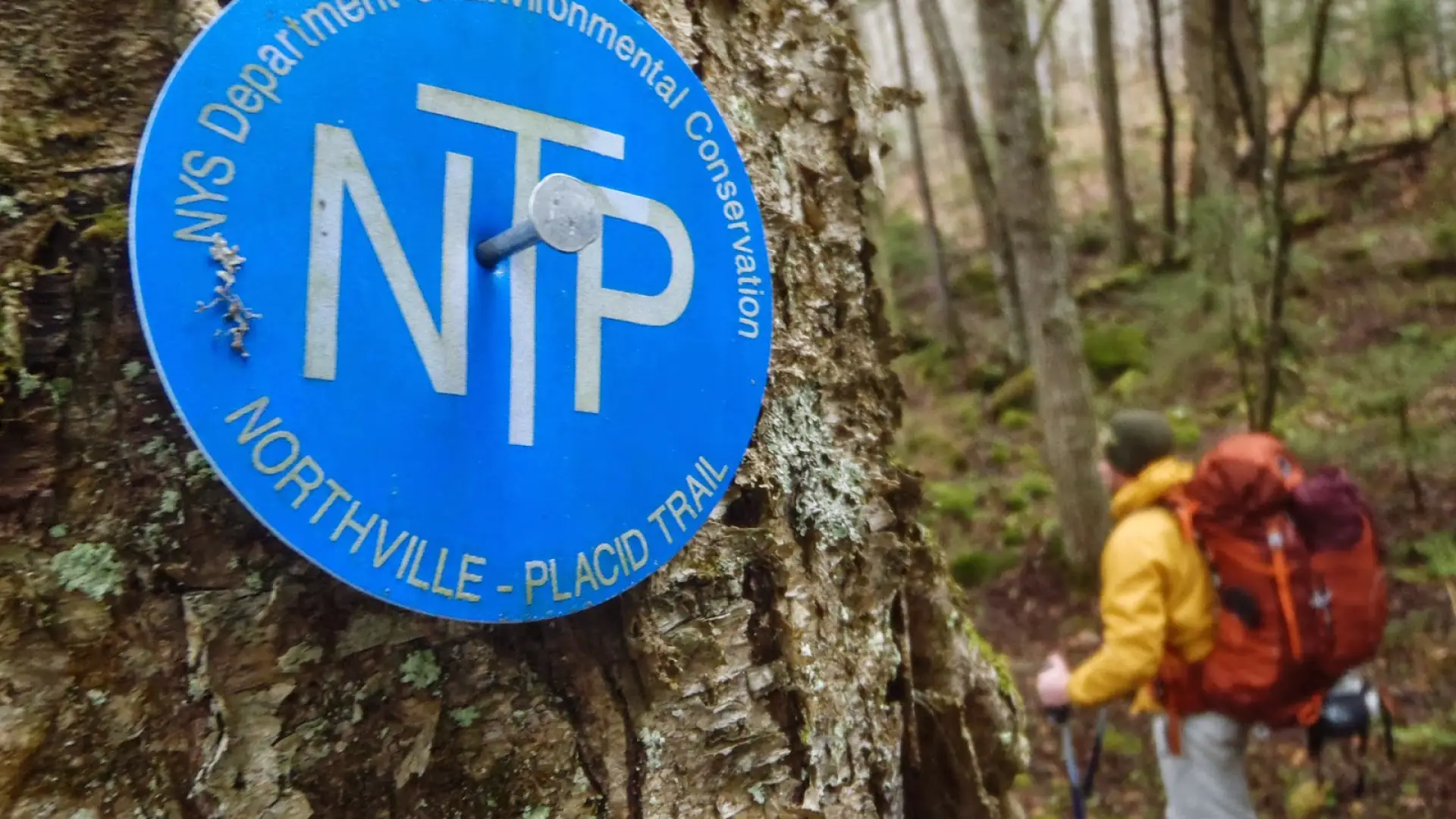
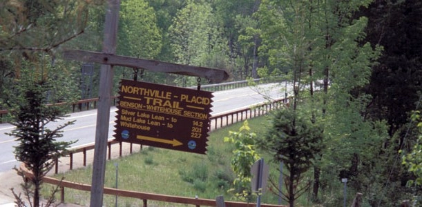
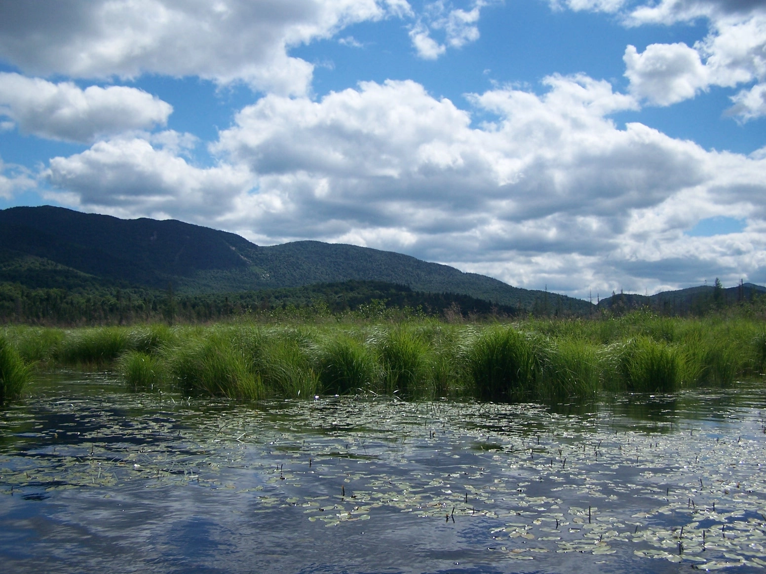
Hike past mountain views, waterfalls, and mile after mile of rolling forest. Be on the lookout for moose and beaver, and fall asleep to the sound of loons calling as the sun sets! The trail starts on Averyville Rd., where there is a large DEC sign marking the official start/terminus of the NPT, just before a bridge on the Chubb River.
Find more information on the northern portion of the NPT here: Lake Placid to Long Lake
Camping
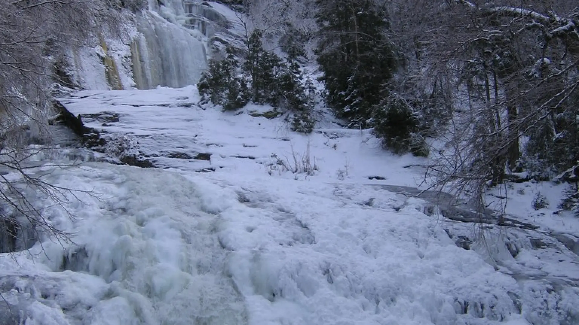
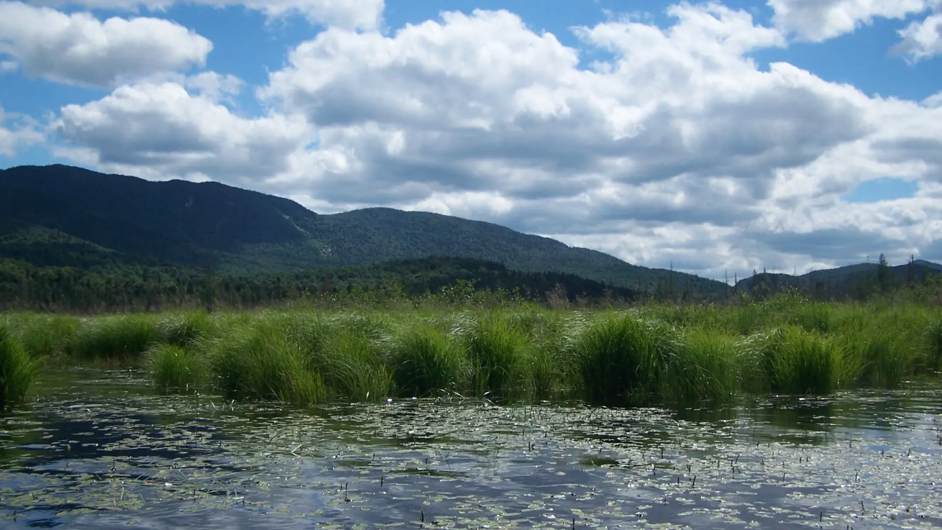
The trail provides access to some of the most beautiful and remote areas which have first-come, first-serve lean-tos and primitive campsites. They are located in designated Wilderness Areas like High Peaks, Blue Ridge, Silver Lake, and West Canada Lake.
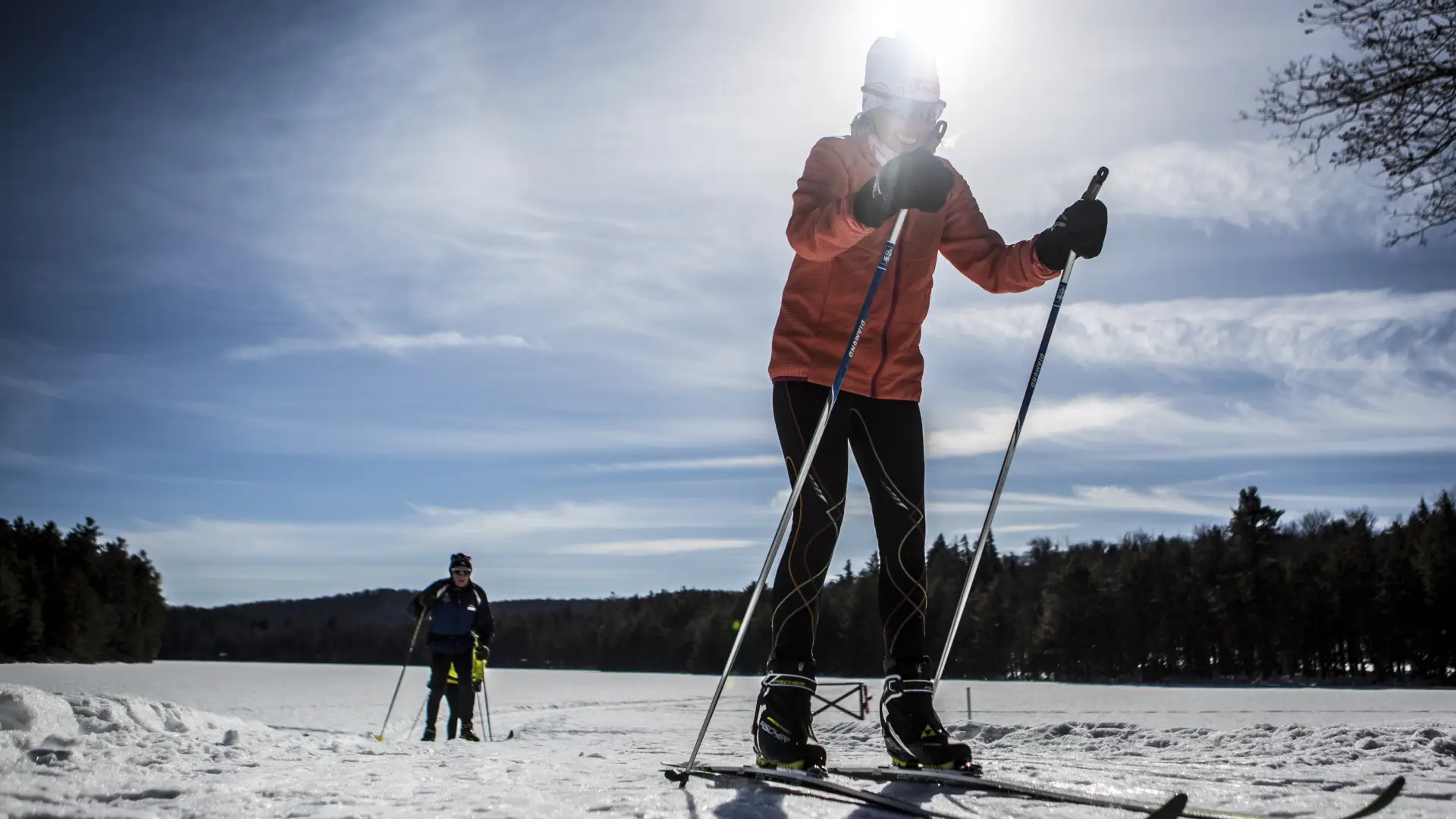
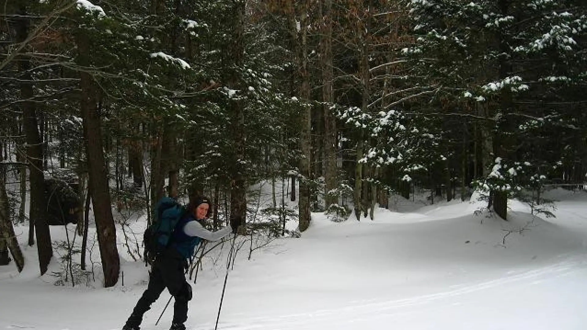
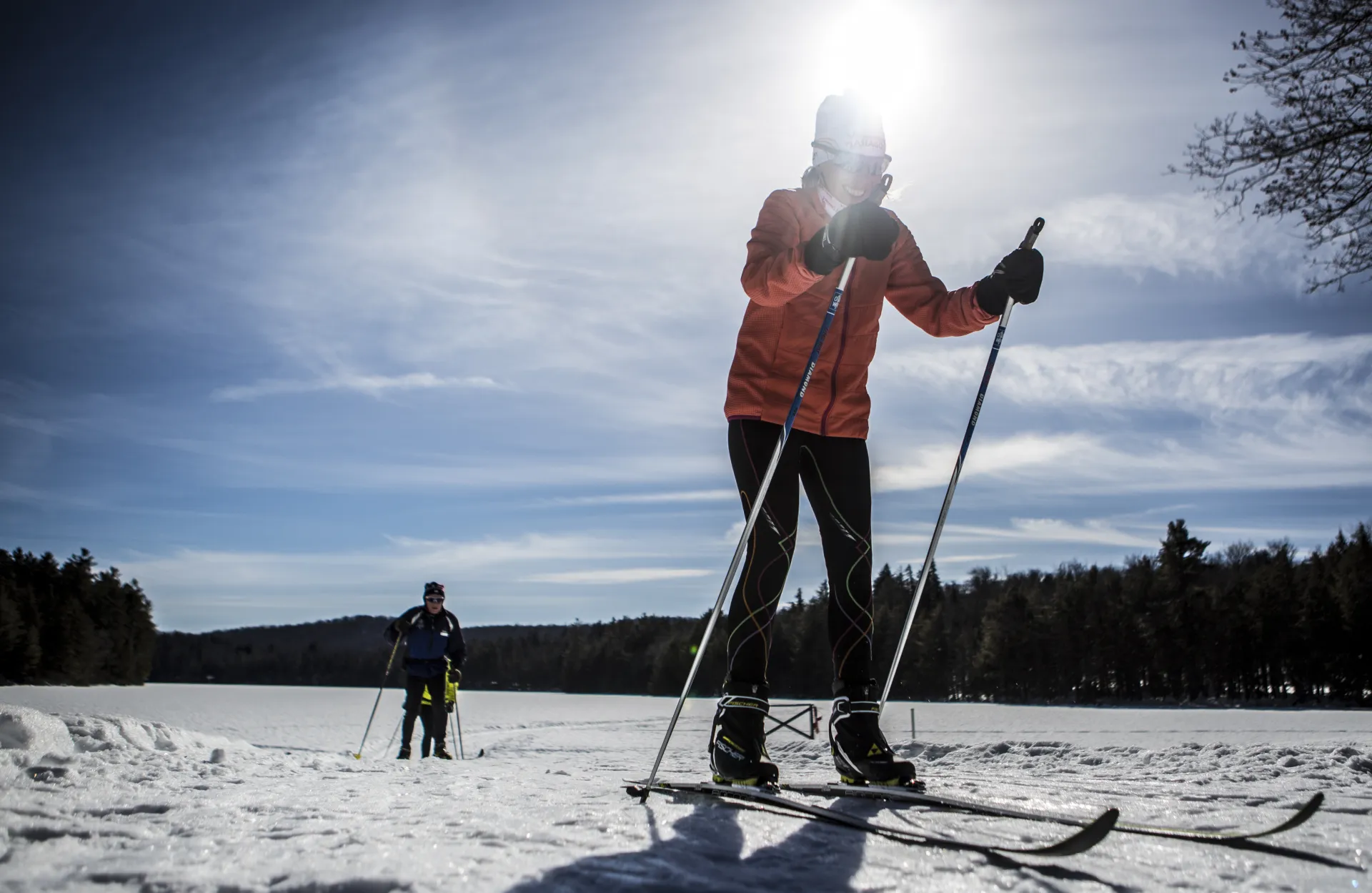
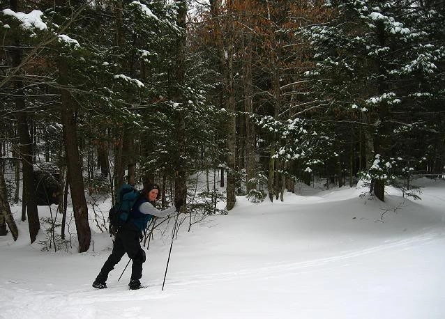
Snowshoeing and cross-country skiing
While the whole trail is typically not attempted in the winter, one can still snowshoe or cross-country ski portions of it. Deep snow and low foot traffic make recreating on the NPT in the winter dangerous, be prepared for all conditions and situations. Snowshoes or skis are required on all trails in the High Peaks Wilderness Area when there is more than eight inches of snow on the ground.
Emergency Information
Related Content

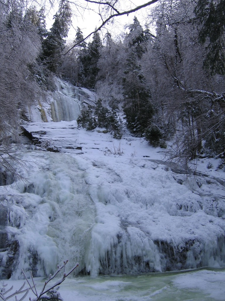
The trail to Wanika Falls can make for a perfect beginner's backpacking trip, or a long day hike for a seasoned hiker or trail runner.