
- Loop
- Out and Back
- Loop
- Out and Back
- Loop
- Out and Back


About
Warning: A slide on the southeast side of Mount Colden into Feldspar/Lake Arnold trail has blocked the trail. The Avalanche Lake trail is also closed due to a sizable slide. Do not hike Redfield from the Loj until further updates.
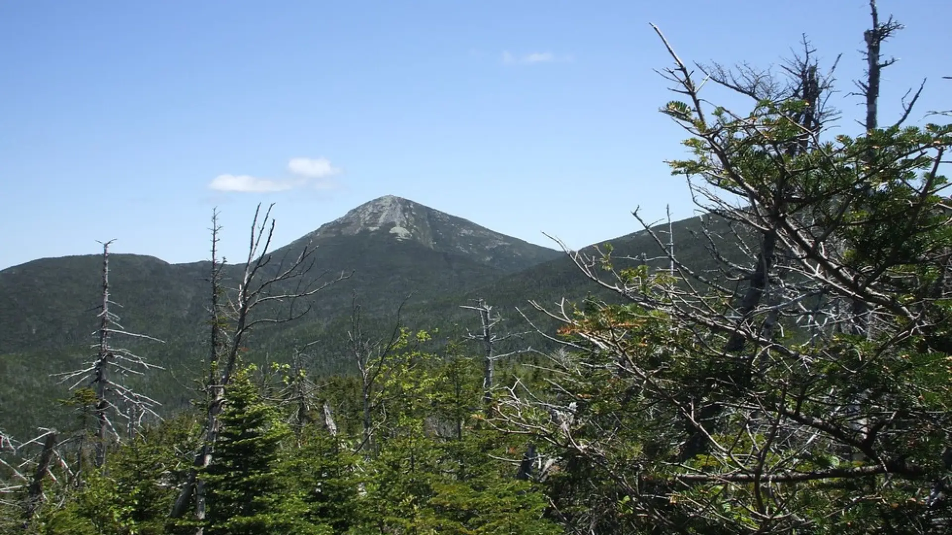
Hiking New York's 15th highest peak
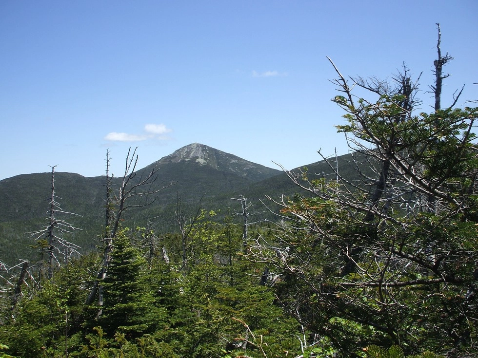
Redfield is the 15th tallest of the Adirondack 46 High Peaks. It is a long, serious hike that requires significant preparation. A successful hike of Mount Redfield involves research, physical fitness, the right gear, and knowledge of Leave No Trace principles.
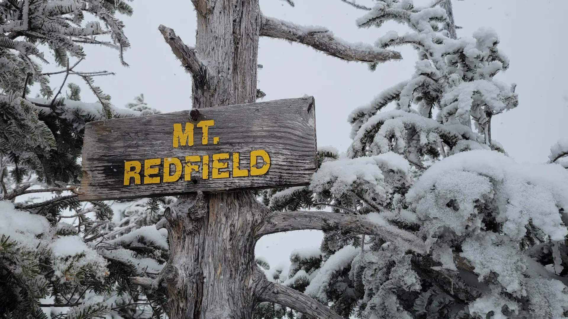
Redfield was named for Professor William C. Redfield: meteorologist, organizer of, and participant in, the first recorded ascent of Mount Marcy.
Key takeaways
- Elevation: 4,606 feet
- Distance: 16.1 miles round trip
- Elevation gain: 3,900 feet
- Hike includes trail junctions, unmarked trail, bridges, and ladders
- Based on an out and back ascent from the Adirondack Loj via Lake Arnold
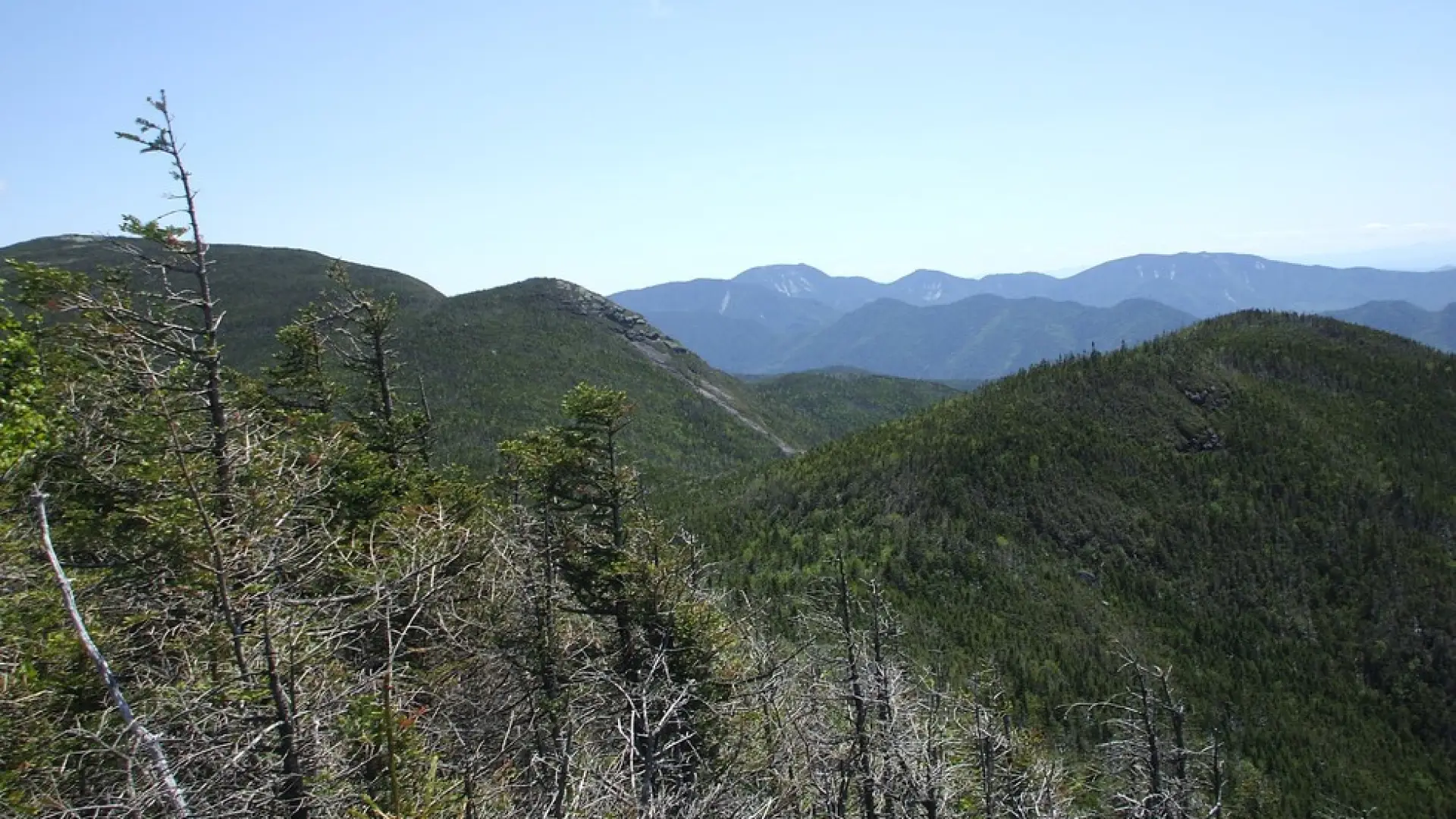
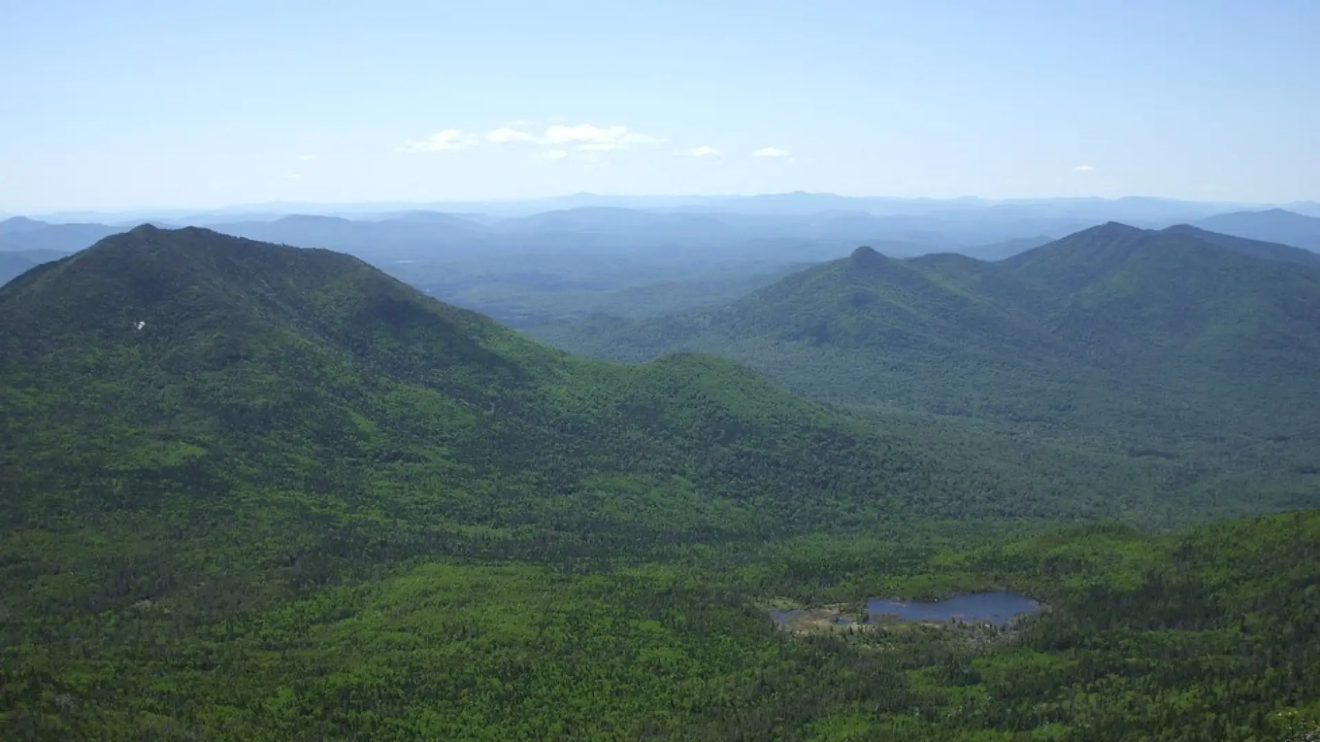
Hiking Mount Redfield
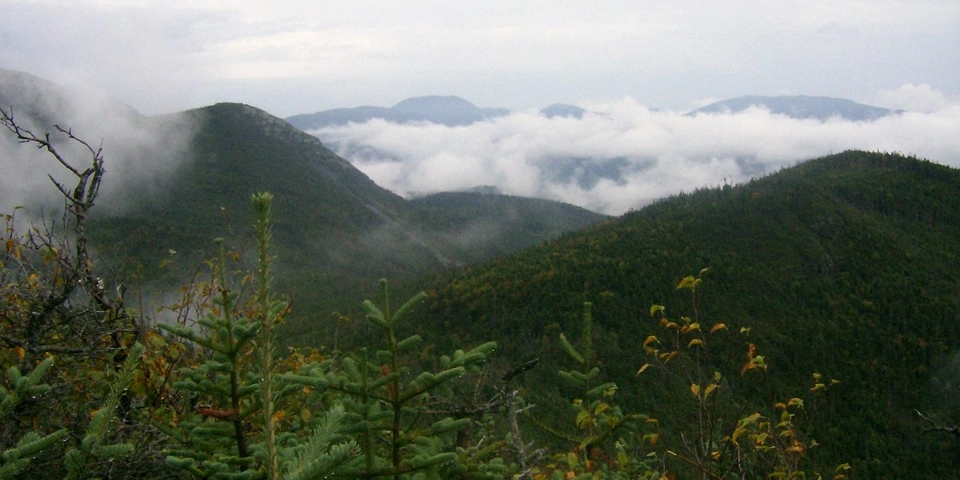
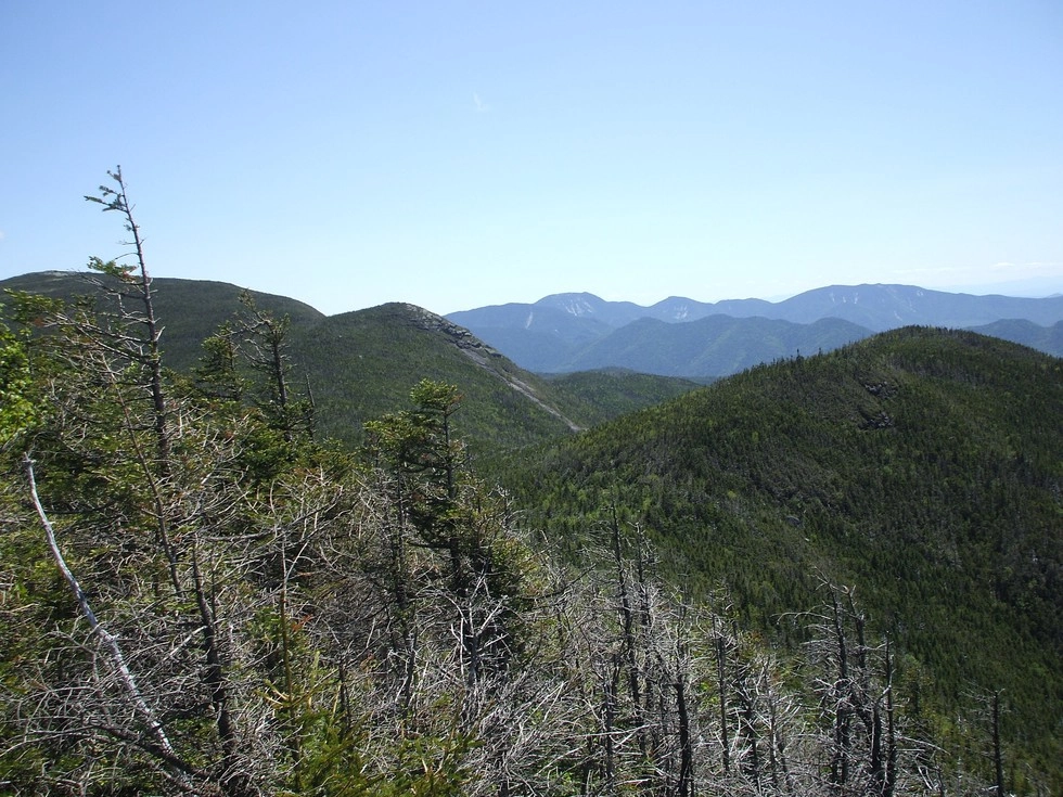
Mount Redfield is often climbed with Cliff Mountain. Below is a description of the approach via Lake Arnold and the Adirondack Loj. Redfield via Upper Works is the other main way to approach this mountain.
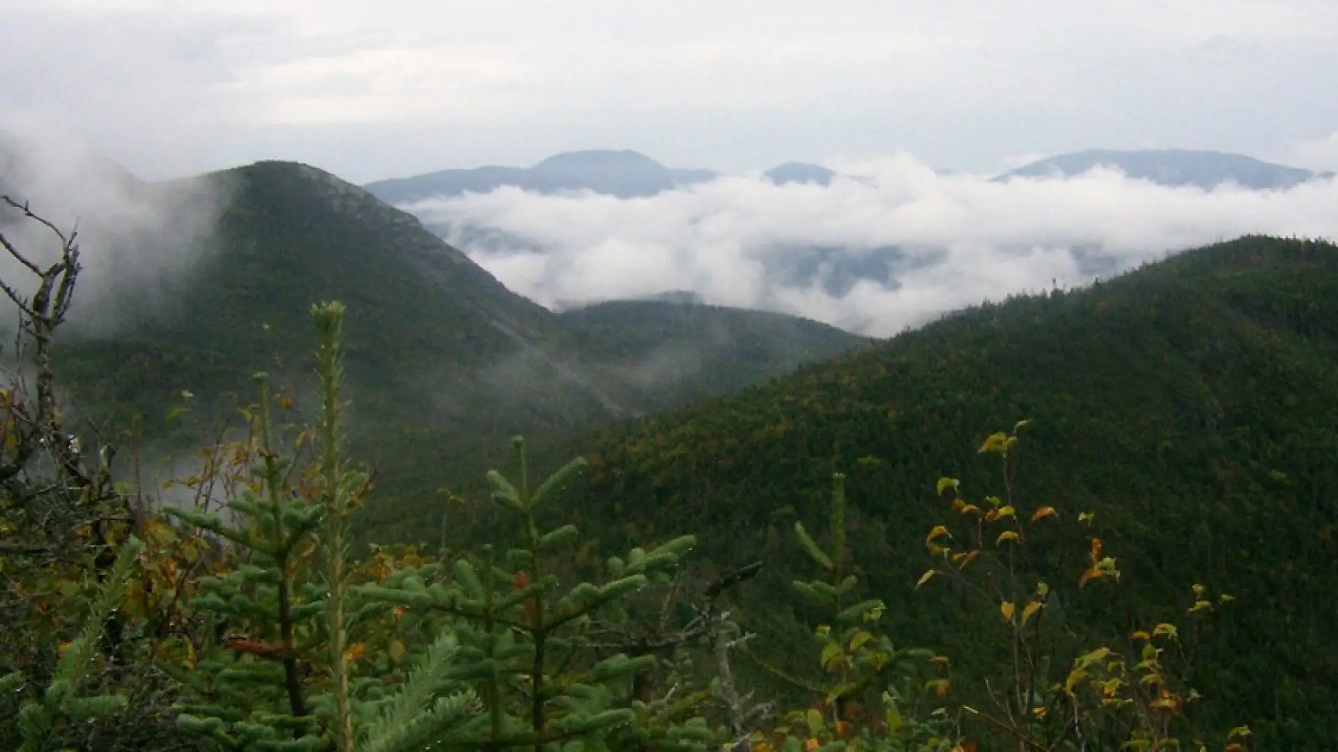
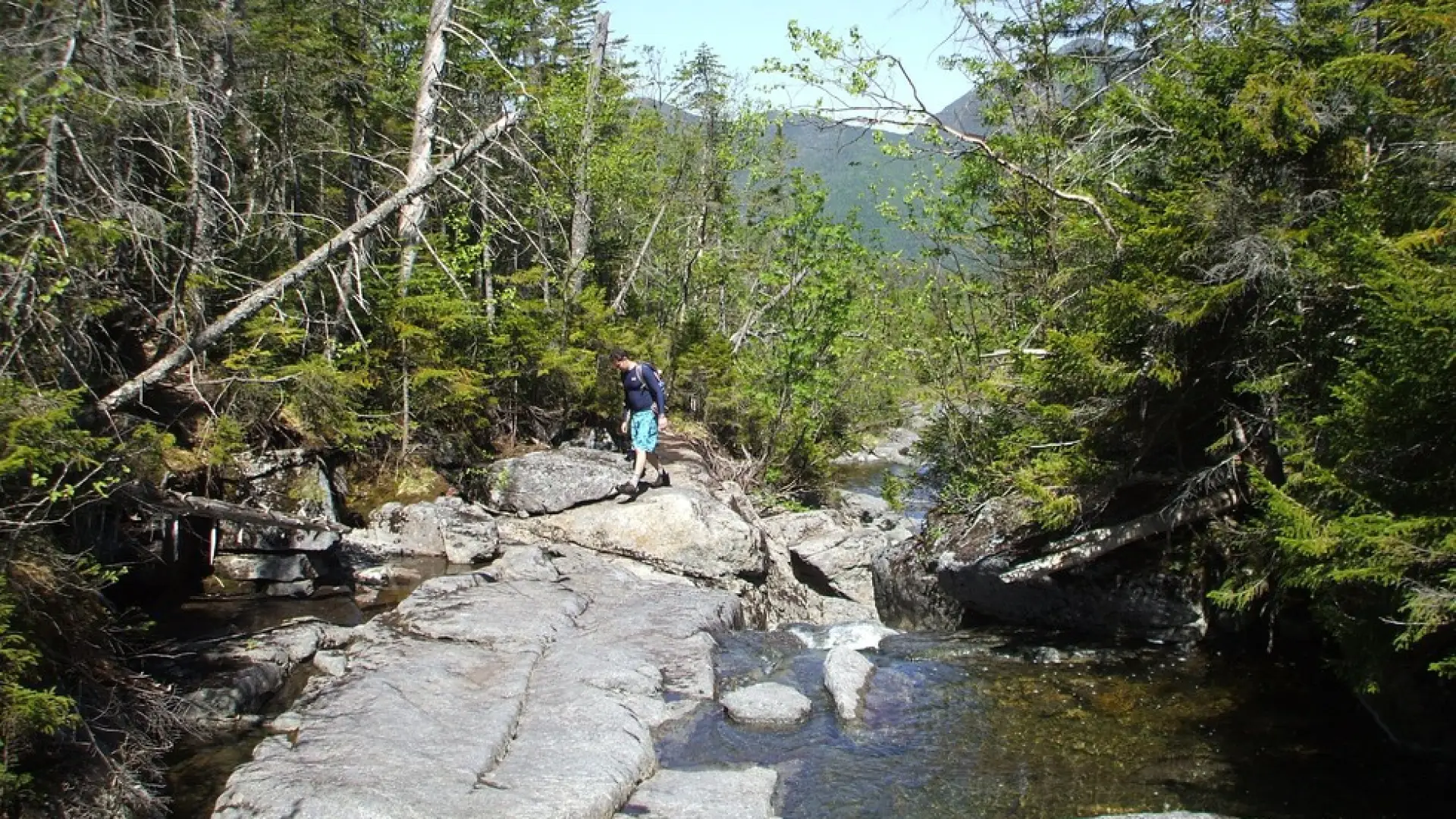
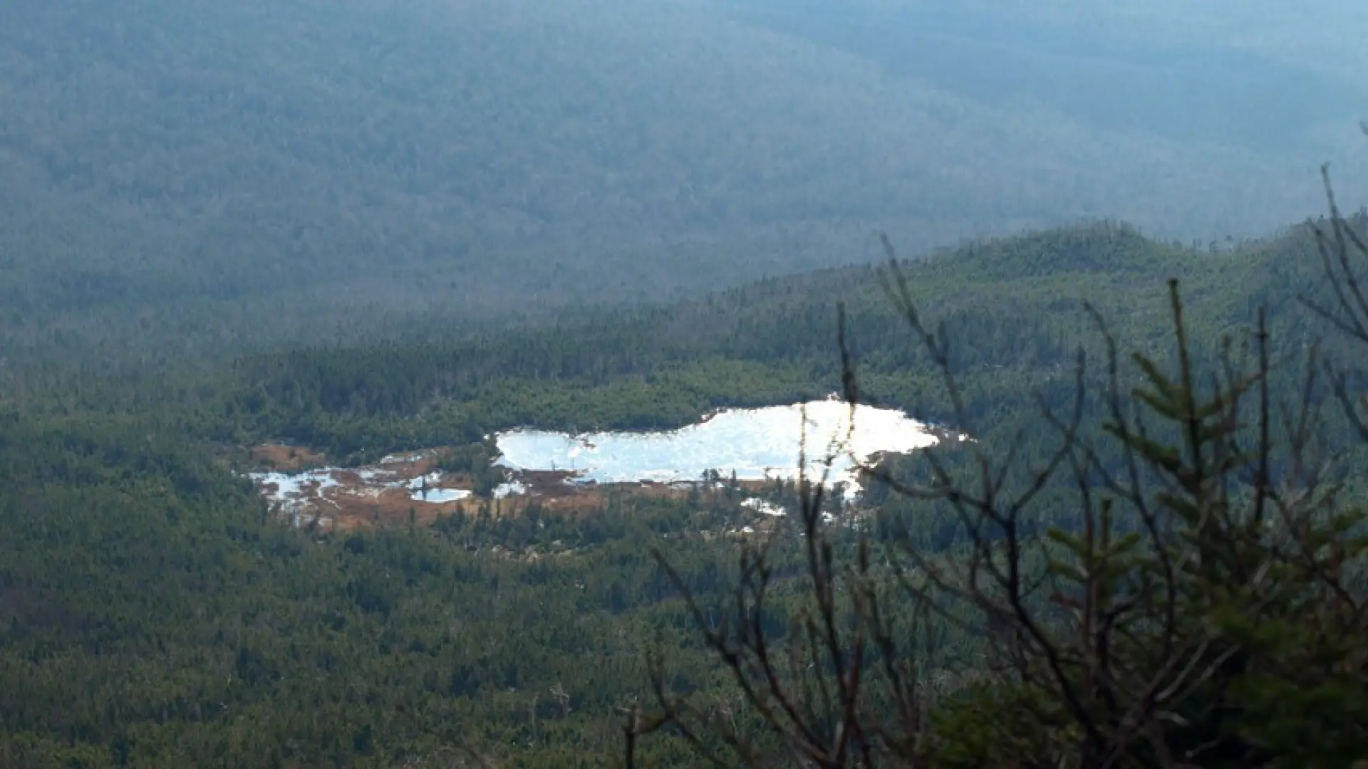
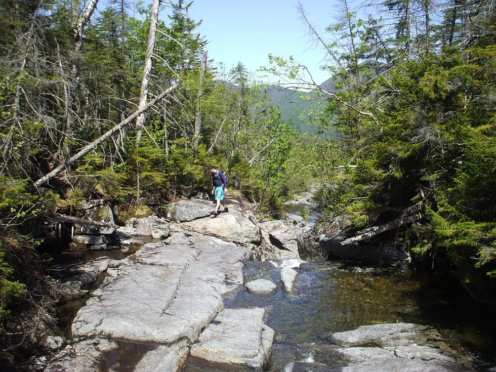
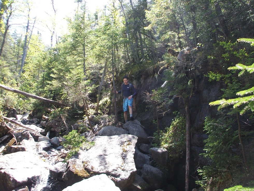
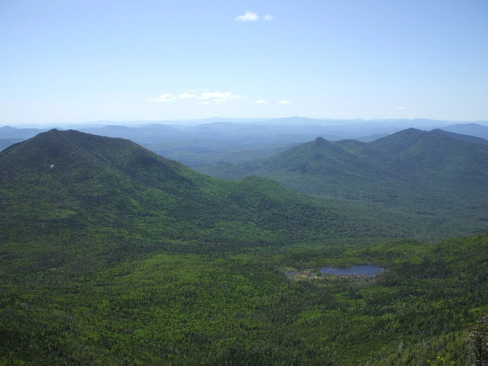
From the Loj follow the well-signed trail to Marcy Dam. From Marcy Dam you will need to follow the trail to Avalanche Pass. You will pass by Avalanche Camps at around 3.3 miles in, where you begin to climb. Take a left and head toward Lake Arnold. You will climb steeply up the shoulder of Mount Colden and eventually be at Lake Arnold. At Lake Arnold you will stay left and continue to climb to the top of the pass, then descend into the valley. After an oftentimes wet hike through the valley over floating log bridges and around beaver activity you will pass by Feldspar Lean-to at around 6.25 miles. 0.1 miles past the lean-to is a major T-intersection. Left leads up to Four-Corners, south of Mount Marcy. Right leads to Uphill lean-to, the start of the herd path.
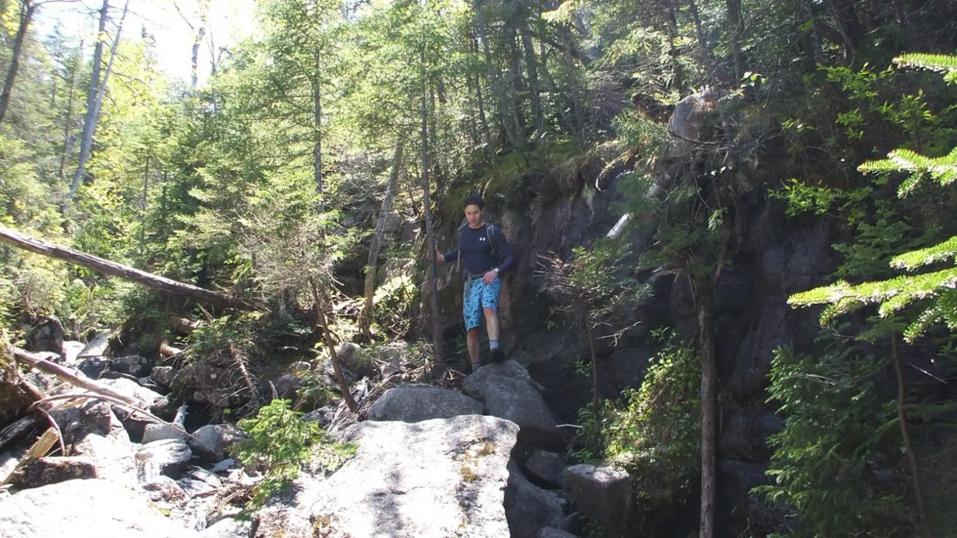
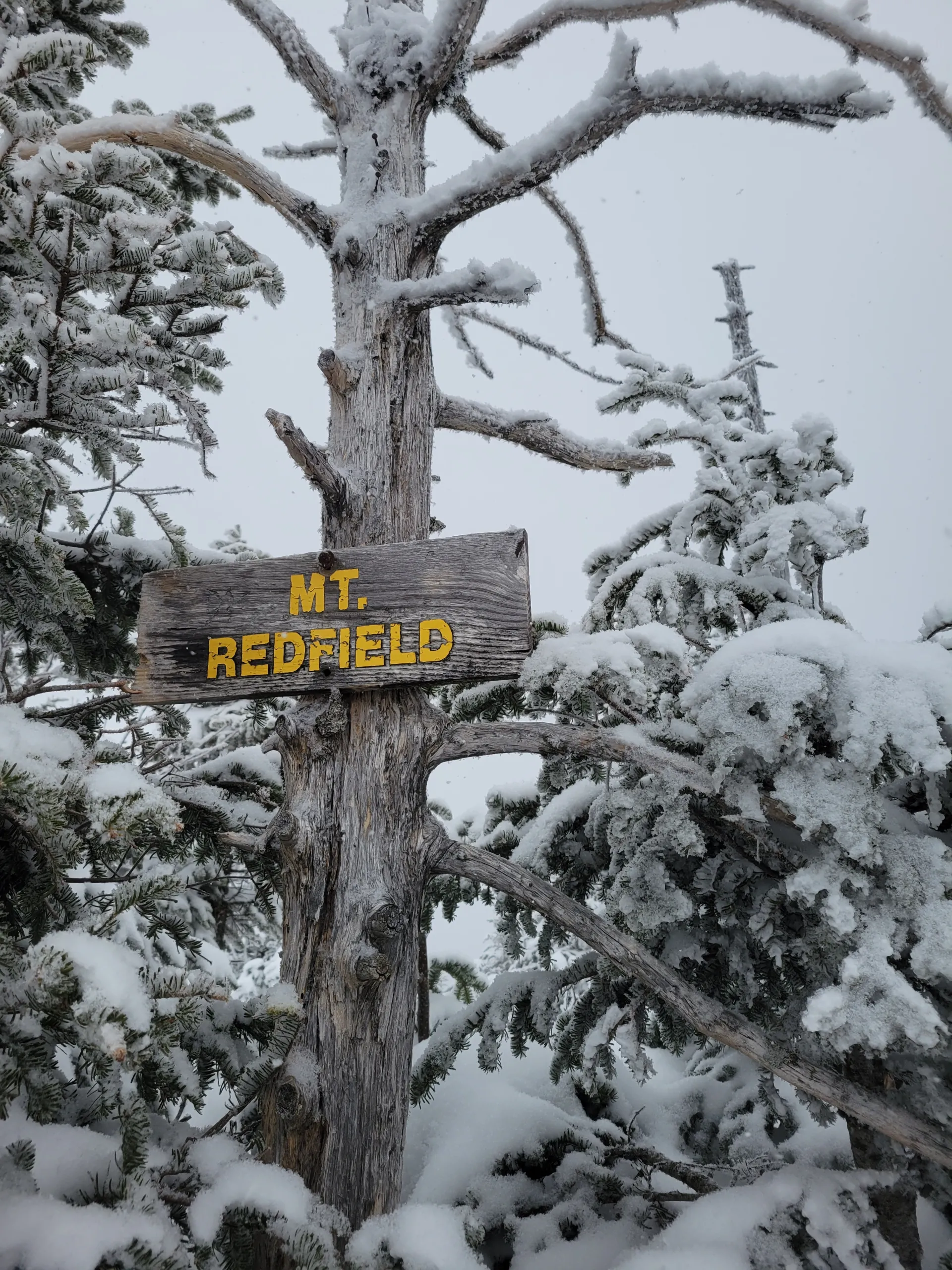
Heading right you will have a moderate, but often wet 0.5 miles to the Uphill Lean-to. The herd path is directly across the trail from the lean-to, marked by a cairn. This herd path is also the start of the Cliff Route. The Redfield route is the main one and continues straight after the Cliff turn-off. If you choose to tack on Cliff, expect to add 1.8 miles and 875 feet of elevation gain round trip. From here you will hike along a gorgeous brook. There are many small waterfalls along the way. The summit of Redfield is a large boulder.
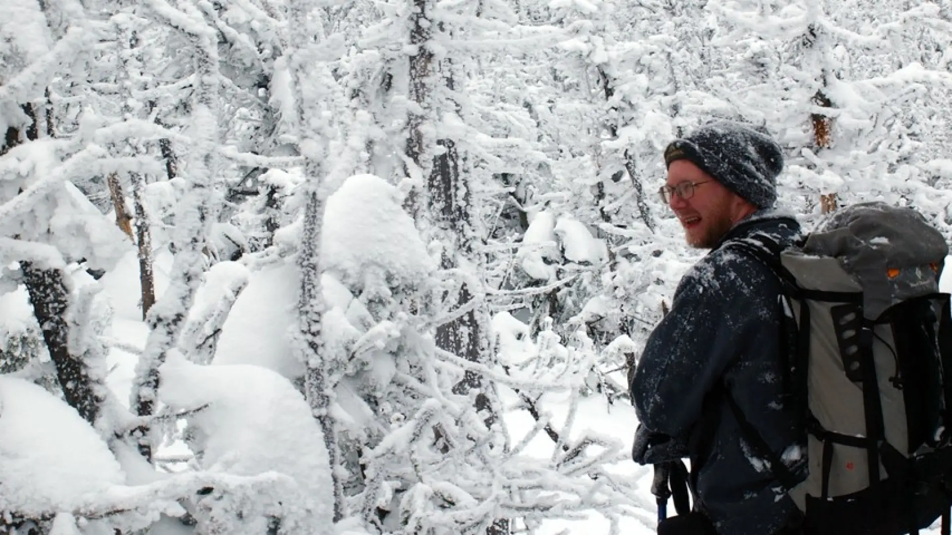
Redfield in the winter
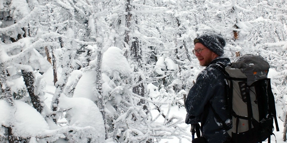
Redfield is a challenging mountain that should only be attempted by experienced hikers, especially in winter, so make sure you are prepared. Snowshoes are necessary, and microspikes or crampons are needed to climb some of the steeper sections, particularly if you add on Cliff Mountain. Plan on temperatures in the higher elevations being at least 20 degrees colder than at the trailhead, not including the windchill. Bring several extra non-cotton layers, a headlamp with spare batteries, extra food, a windbreaker, goggles, a face mask, and supplies for spending the night in case of an emergency. The water crossings on the hike can be especially dangerous during the beginning and end of winter. Always use caution at water crossings. Turning around is always an option.
Find your perfect trail near Lake Placid
Does Redfield sound amazing, but a little more than you want to tackle right now? No need to stress, with over 2000 miles of hiking trails in the Adirondacks we are sure we can find the perfect hike for you.
How to get there
Leave Lake Placid on Route 73, follow Route 73 toward Keene. Continue for about 3 miles to Adirondack Loj Road on the right. Follow Adirondack Loj Road to its end at Heart Lake and park in the main parking lot. Parking fee required.
Emergency Information
Related Content

Ready to hike in the High Peaks? There is no set way for how to become a 46er, but there is a R.I.G.H.T. way.