

- Out and Back
- Bushwhack
- Out and Back
- Bushwhack
- Out and Back
- Bushwhack


About
Hiking New York's unofficial "47th High Peak"
MacNaughton is 4000 foot peak that never made the 46 High Peaks list due to being shown as just under 4,000 feet on the 1903 era maps, from which the original list was made. Hence it being known as the unofficial "47th" High Peak, and being taller than a few of the 46 High Peaks. This is a serious bushwhack endeavor; it is a steep, strenuous hike that requires significant preparation. A successful hike of MacNaughton involves research, physical fitness, the right gear, and knowledge of Leave No Trace principles, in addition to expert navigational skills.
Key takeaways
- Distance: Roughly 15 miles
- Elevation: 4,000 feet
- Elevation gain: Roughly 3000 feet
- Hike includes water crossings, trail junctions, and unmarked trail
- Based on a hike via the Indian Pass trail from the Adirondack Loj
Hiking MacNaughton Mountain
MacNaughton is a somewhat popular climb by those working on the Adirondack 100 Highest, but it is not a typical hike for everyone. Only those with adequate hiking and bushwhacking experience should take this on.
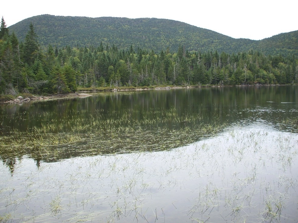
From the Adirondack Loj parking area, hike back to the toll booth and get on the trail to Indian Pass. The trail to Indian Pass follows along the shore of Heart Lake before moving away from the lake and starting a moderate hike over rolling hills. You will pass by many side trails that should be avoided – like those to Mount Jo, Heart Lake Loop, and Rocky Falls.
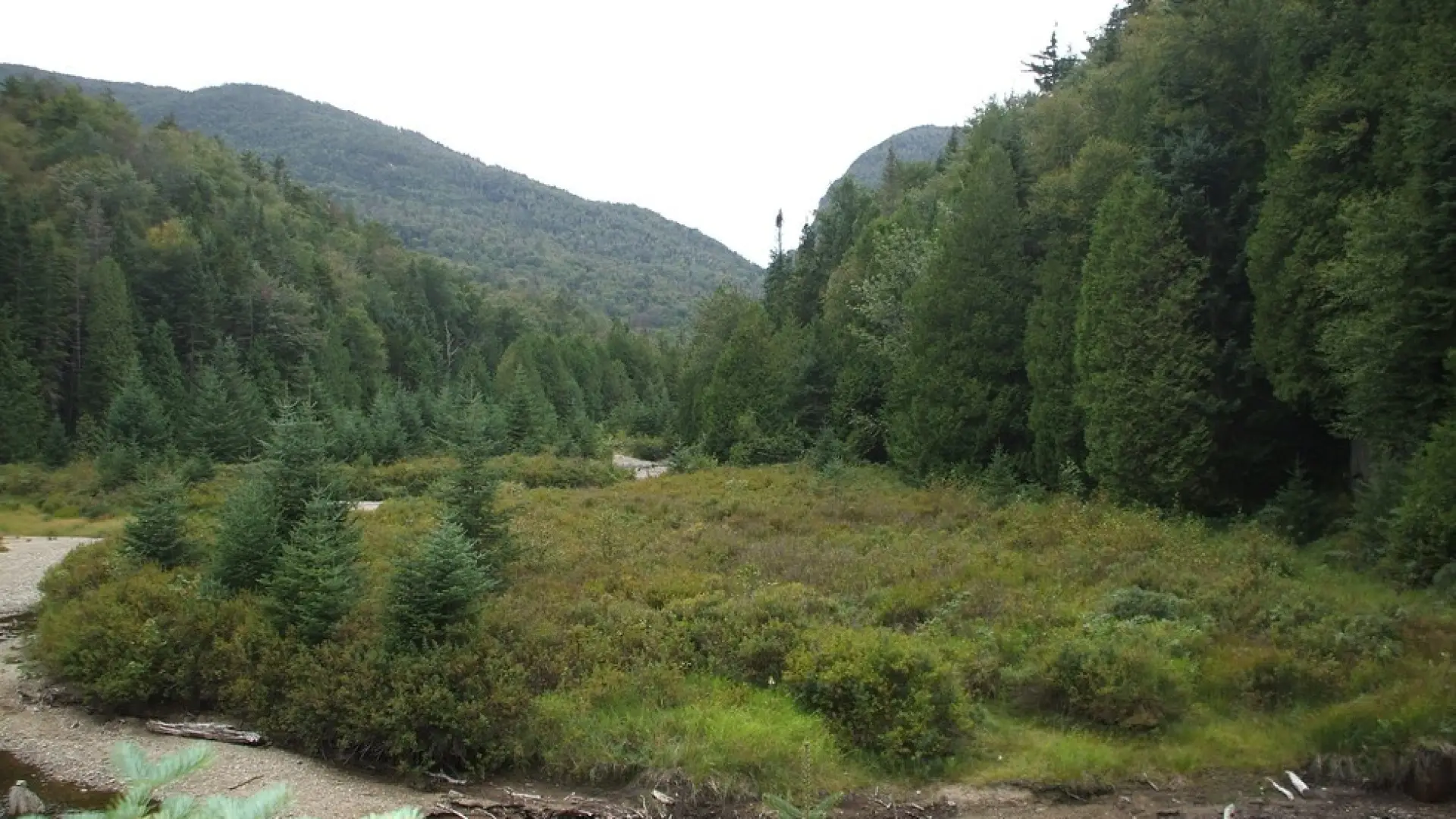
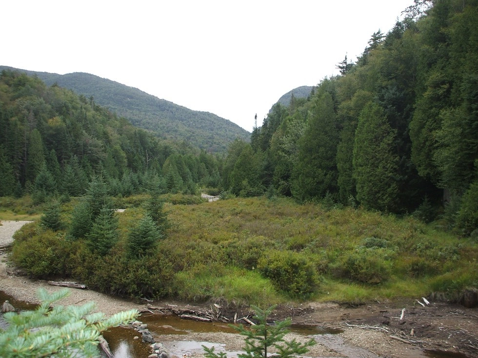
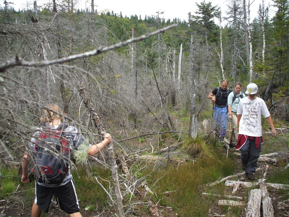
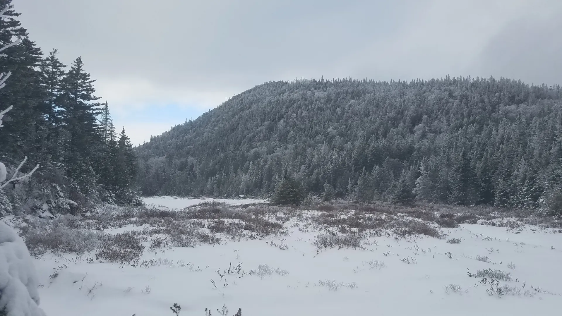
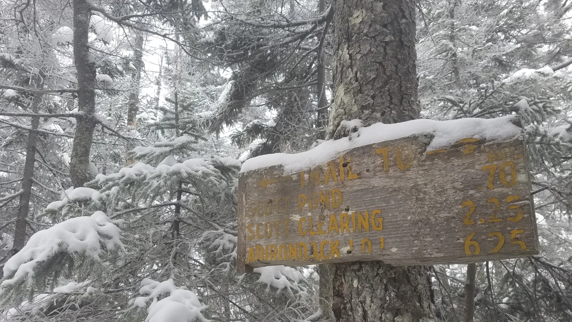
In a short period of time you will hike past Scott Clearing lean-to and then to Scott Clearing. Scott Clearing is a nice spot for a break before you start a serious climb up to Wallface and Scott Ponds. You will take the trail that leads west out of the Clearing which is on the downhill side of the old dam. From here the climb is steady and very steep in sections to Scott Ponds. Past Scott Ponds the trail gets very wet and you will need ample balance to pass through some of the wet areas.
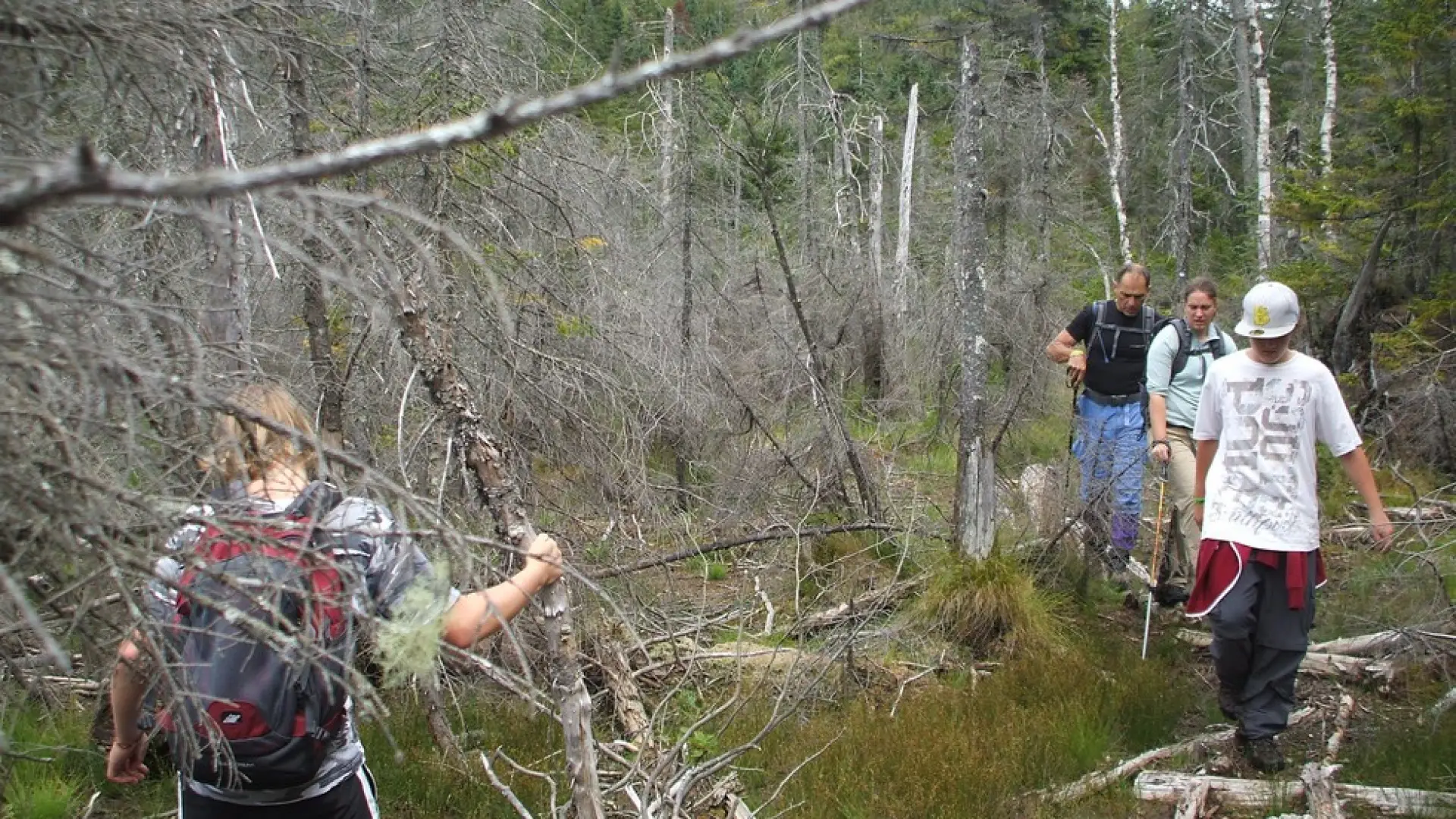
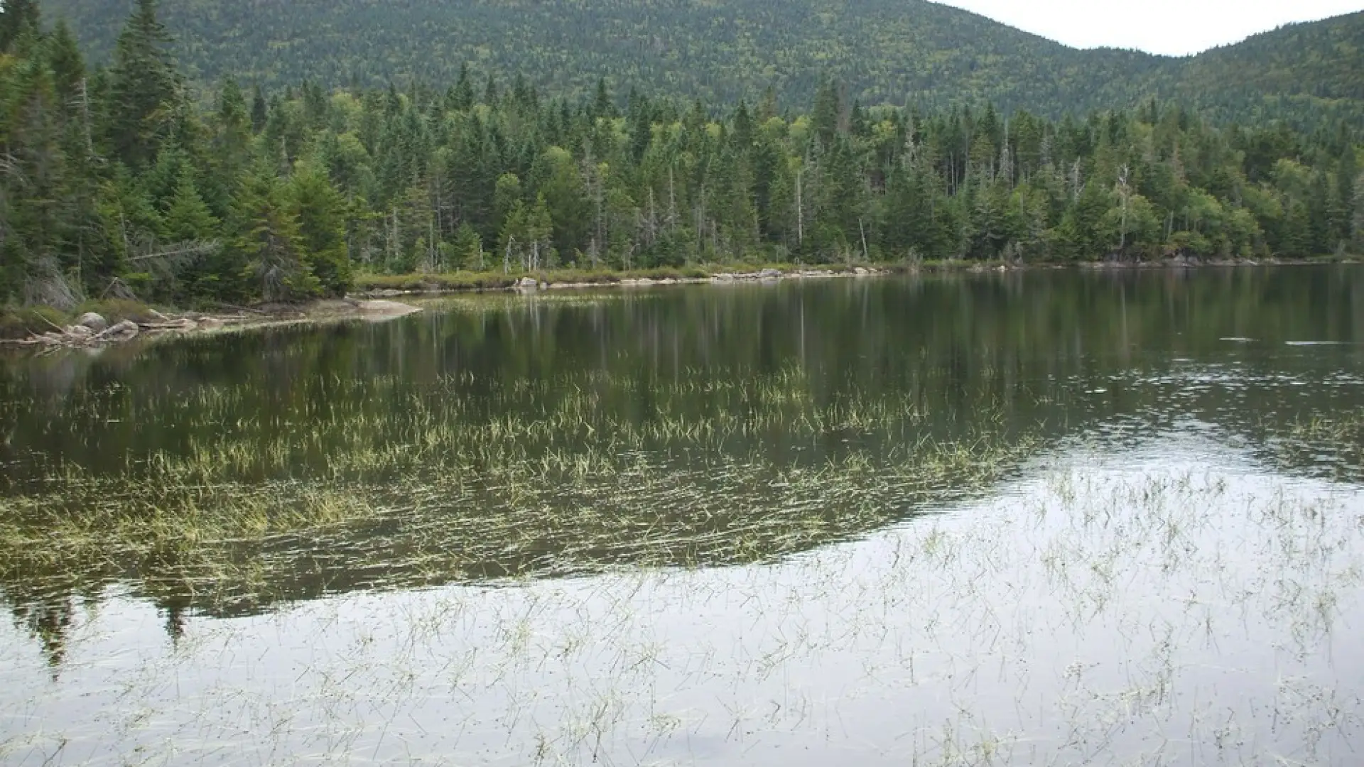
Once at Wallface Pond the trail ends at the shore. Looking to your left is a path to a campsite. This path continues through the campsite and through a thick forest to a crossing of an outlet of Wallface Pond. The herd path continues on the other side and continues to be easy to follow for a short period of time. Soon the herd path will disappear and you will need to take a bearing.
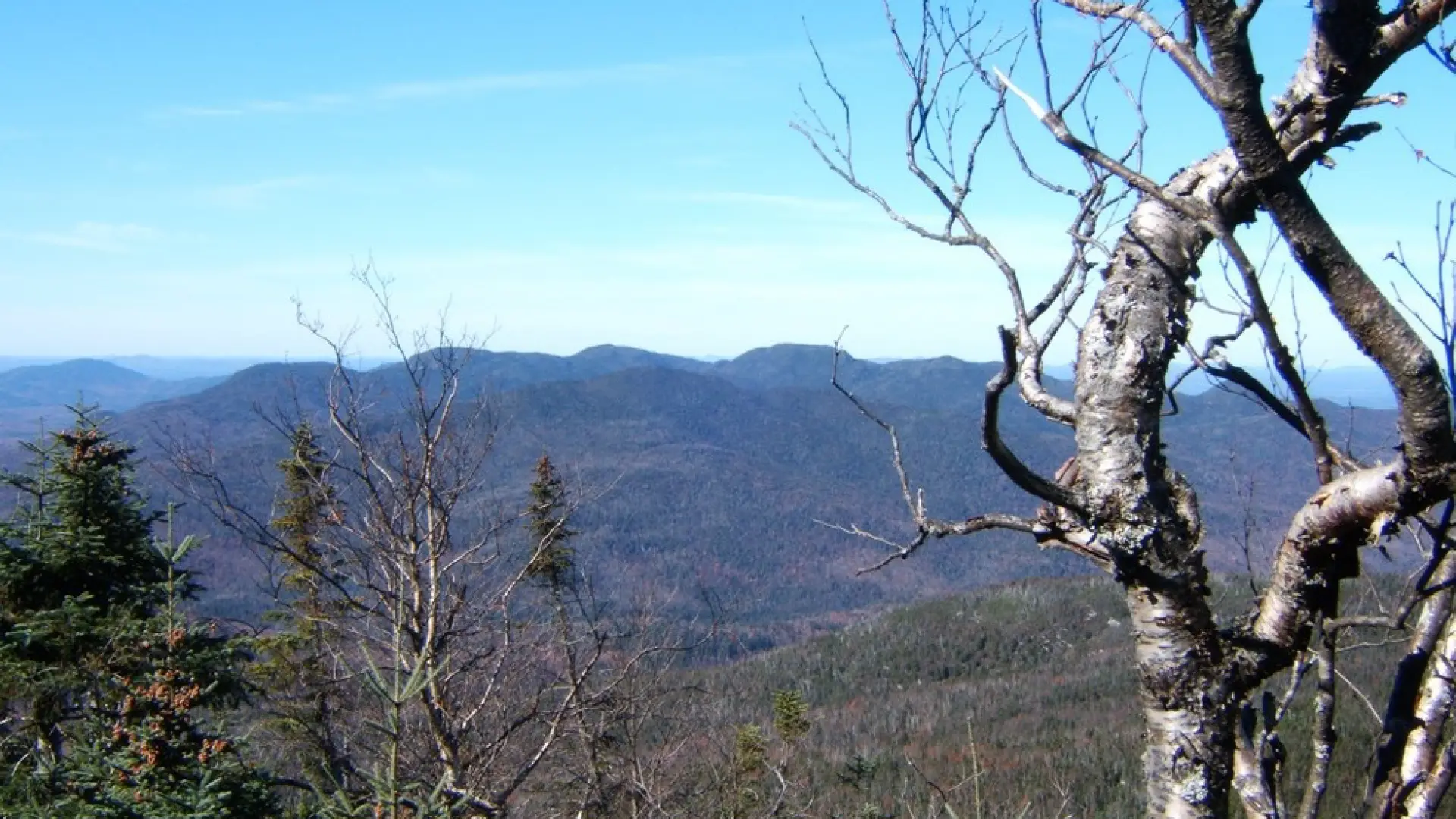
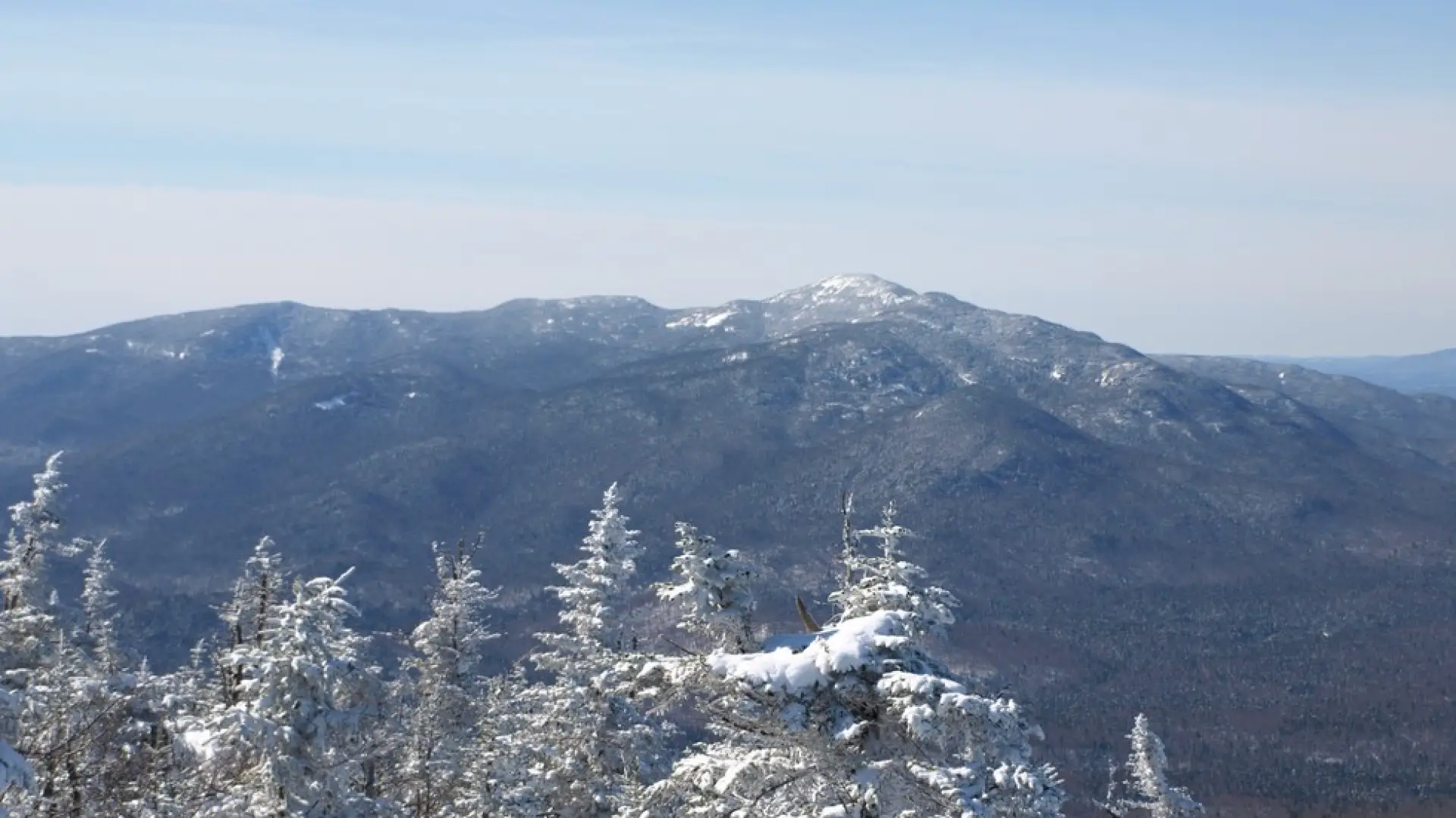
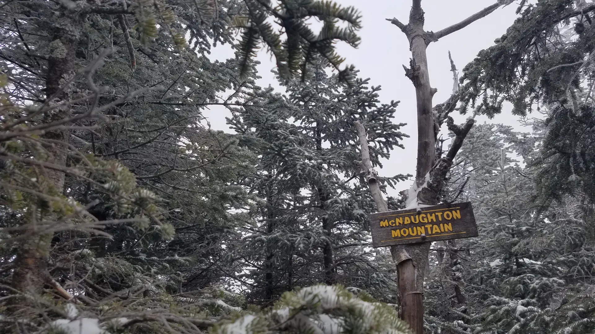
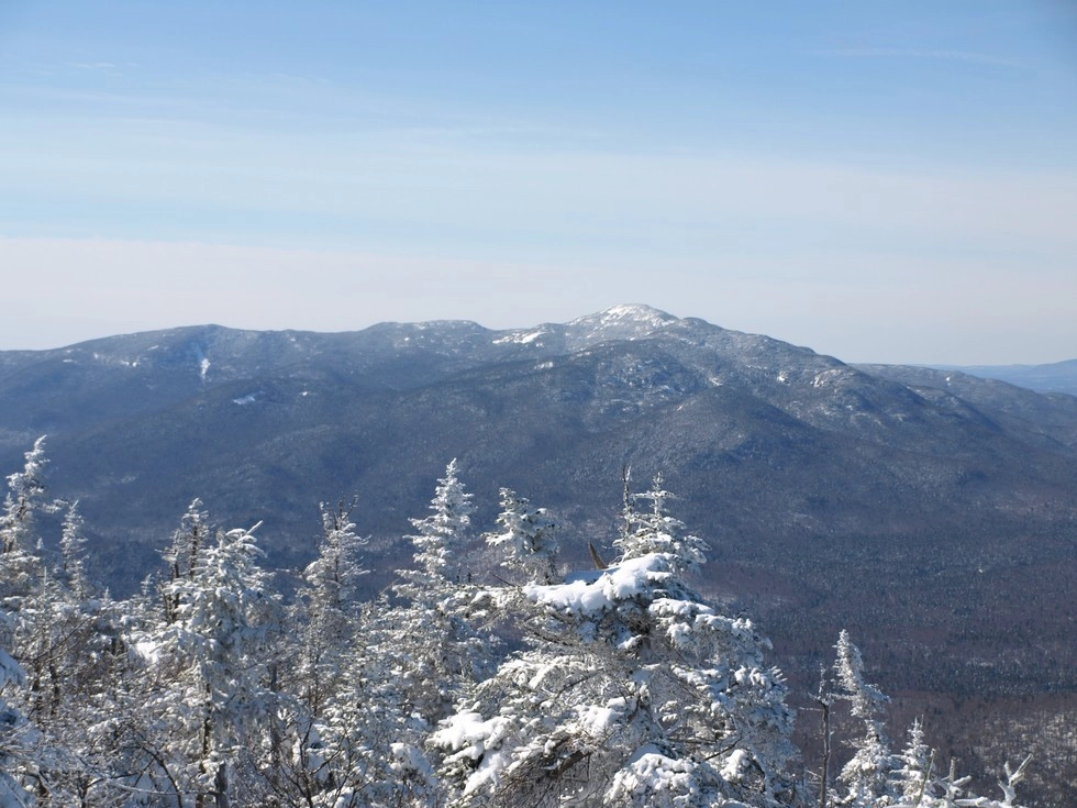
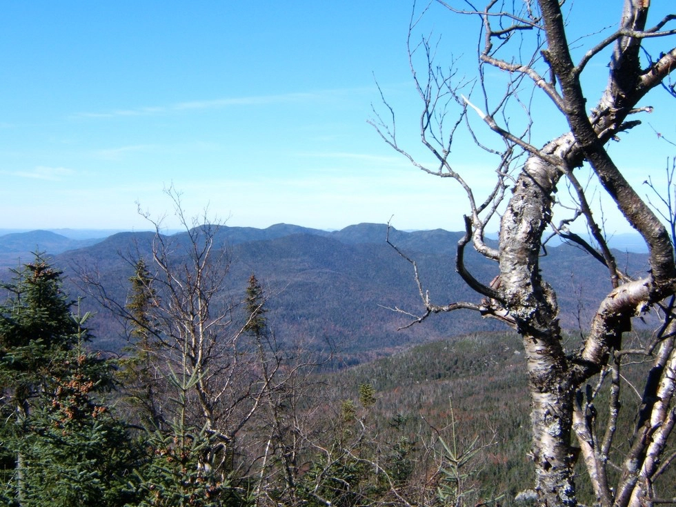
DO NOT take a bearing straight at the summit, it will be a very thick and unforgiving bushwhack if you do. Aim for the middle summit along the ridge. The woods are much more open and easy to get through, although the terrain is still incredibly steep. Once on the ridge a herd path will lead right and left. Follow right to a rocky overlook. This is not the summit, the path continues for about another 0.25 miles to the true summit where a summit sign usually resides. The summit is a small rock shelf with a nice view of the Sawtooth Range. The summit is at the far north end of the long ridge.
Find more MacNaughton hiking information in this story.
MacNaughton in the winter
This is a full on bushwhack from Wallface Ponds, be aware that there is most likely no trail broken out. In fact, the trail past Scott Clearing may not be touched very often either. Waterproof jacket is essential to stay dry from falling snow from the trees. Its seclusion, lack of consistent usage, and lack of a defined trail and route make this a substantial undertaking for even the most experienced and fit snowshoers. Go with an experienced and well-prepared group, and don't be afraid to turn around.
Find your perfect trail near Lake Placid
Does MacNaughton sound amazing, but a little more than you want to tackle right now? No need to stress, with over 2000 miles of hiking trails in the Adirondacks we are sure we can find the perfect hike for you.
How to get there
Leave Lake Placid on Route 73, follow Route 73 toward Keene. Take a right onto Adirondack Loj Road and follow it to the end. There is a parking fee.