- Out and Back
- Out and Back
- Out and Back


About
This steep trail ascends the shoulder of Phelps Mountain before topping out at Klondike Notch. One can descend the other side of the notch and arrive at Johns Brook Lodge in the Johns Brook Valley. A successful hike of Klondike Notch into Johns Brook Valley involves research, physical fitness, the right gear, and knowledge of Leave No Trace principles.
Key takeaways
- Elevation: 3,185 feet
- Elevation gain: 2,175 feet
- Distance: 10 miles round trip, to Johns Brook Lodge and back
- Add 1 mile each way when South Meadows Lane is closed in the winter
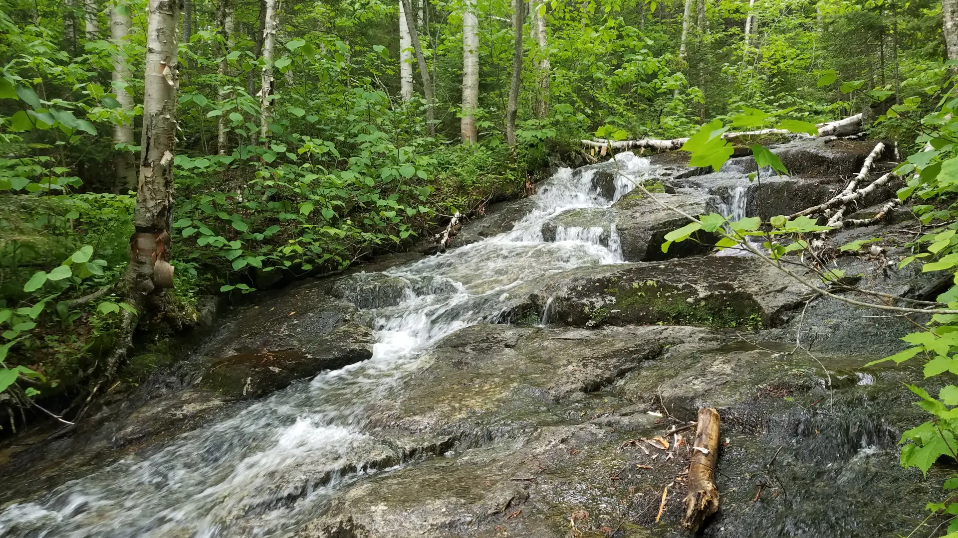
- Hike includes trail junctions and water crossings
Hiking Klondike Notch
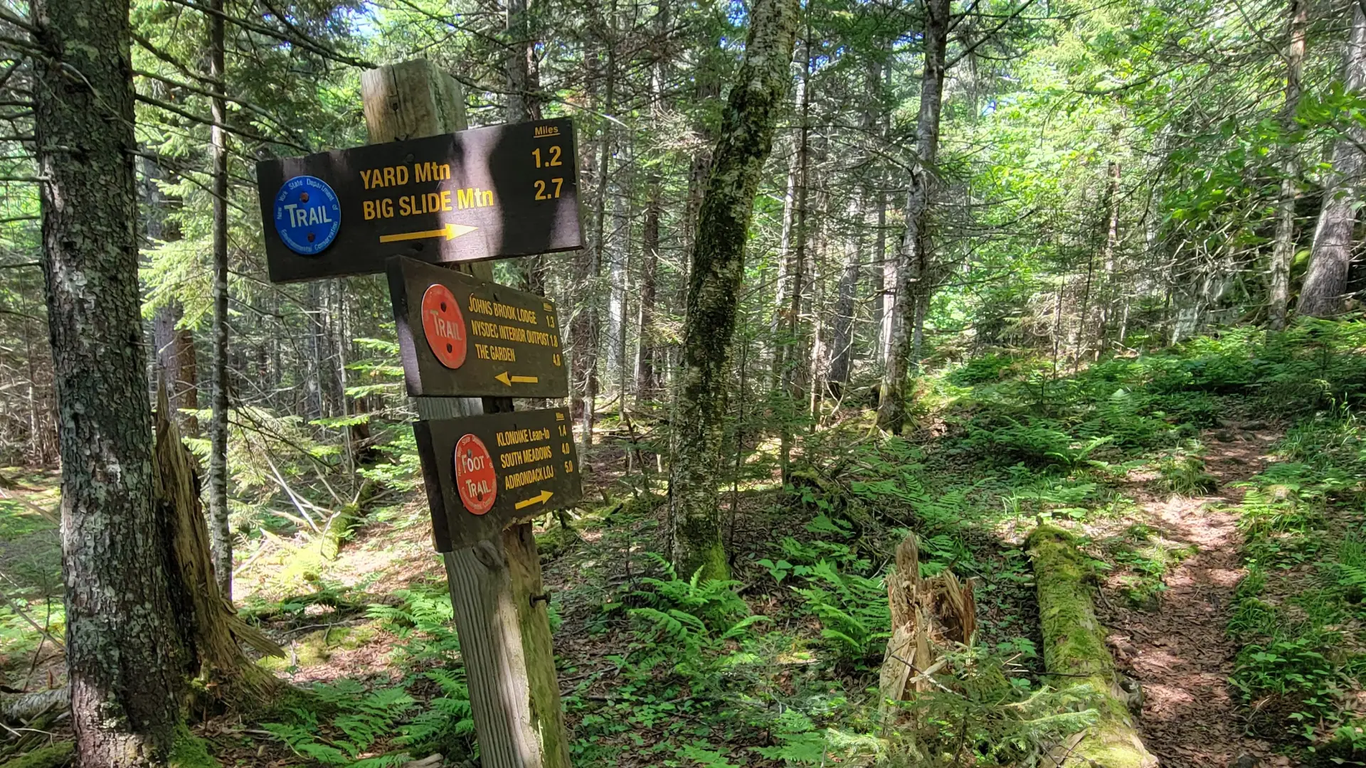
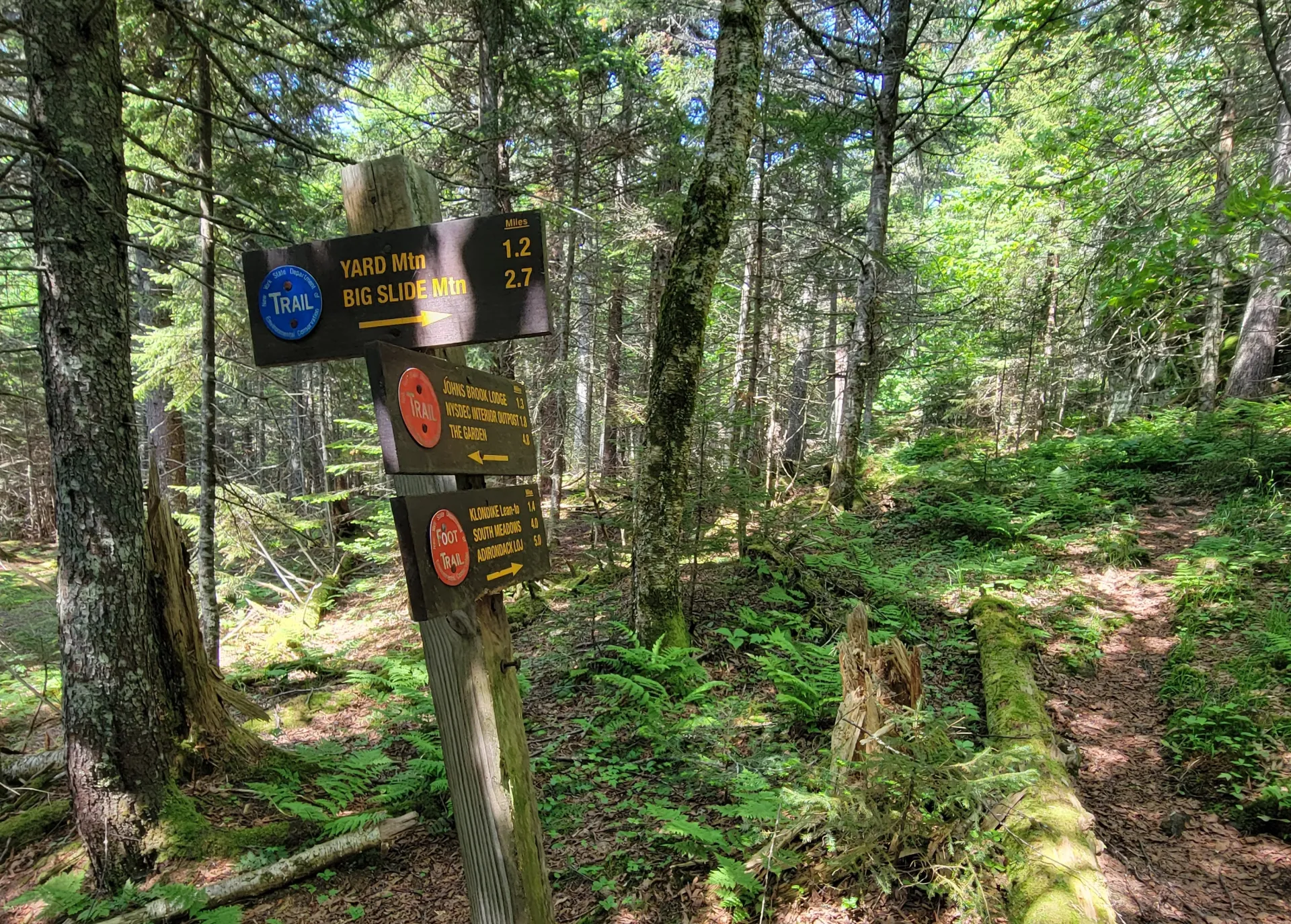
The trail to Klondike Notch is a very demanding, even though the start is gentle. BE AWARE, the bridge at the start is out, and you will have to either cross the water or take the cut-off trail that goes right at the parking lot, then cuts left to join the Klondike Notch Trail. At low water, there are rocks to hop across, but otherwise you will have to do some wading if you want to cross. The start of the trail heads through the low lands of South Meadow, but will eventually start climbing, and at times is a bit steep. You'll reach the Klondike lean-to roughly 2.7 miles from South Meadows. After that, you'll reach the height of land in Klondike Notch just under a mile from the lean-to, before descending and passing by a trail that cuts left to go up Yard and Big Slide (continue straight, do not take the left turn). After a little over 5 miles into your trip, you'll arrive at Johns Brook Lodge.
Klondike Notch in the winter
Many skiers stop at the lean-to around 0.75 miles shy of the top of the notch, though warm temperatures and water crossings may be hazardous to skiers. Only experienced skiers should attempt this trail, and expect it to be unbroken.
Find your perfect trail
Does Klondike Notch sound amazing, but a little more than you want to tackle right now? No need to stress, with over 2000 miles of hiking trails in the Adirondacks we are sure we can find the perfect hike for you.
How to get there
Leave Lake Placid on Route 73, follow Route 73 toward Keene. Continue for about 3 miles to Adirondack Loj Road on the right. Follow Adirondack Loj Road to Meadows Lane on the left. Drive to the end of Meadows Lane to a parking lot.
In winter, park at the start of Meadows Lane near the boulders. From the Loj Road you will have to ski Meadows Lane for 1 mile to access the Klondike Notch Trail. The road starts out heading easily uphill before descending very gradually to the parking lot at the end of the road. The trail is to the back of the parking lot.