- Out and Back
- Out and Back
- Out and Back


About
Not to be confused with the High Peak Mount Haystack, this one is in Ray Brook and offers a friendlier climb. It features a pleasant woods walk with a final steep climb that leads to an open rock face and ledge. Hikers should learn about Leave No Trace principles before hiking any trail in the Adirondacks. This mountain is a Saranac Lake 6er.
Key takeaways
- Distance: 6.6 miles round trip
- Elevation: 2,878 feet
- Elevation gain: 1,850 feet
- Hike includes trail junctions
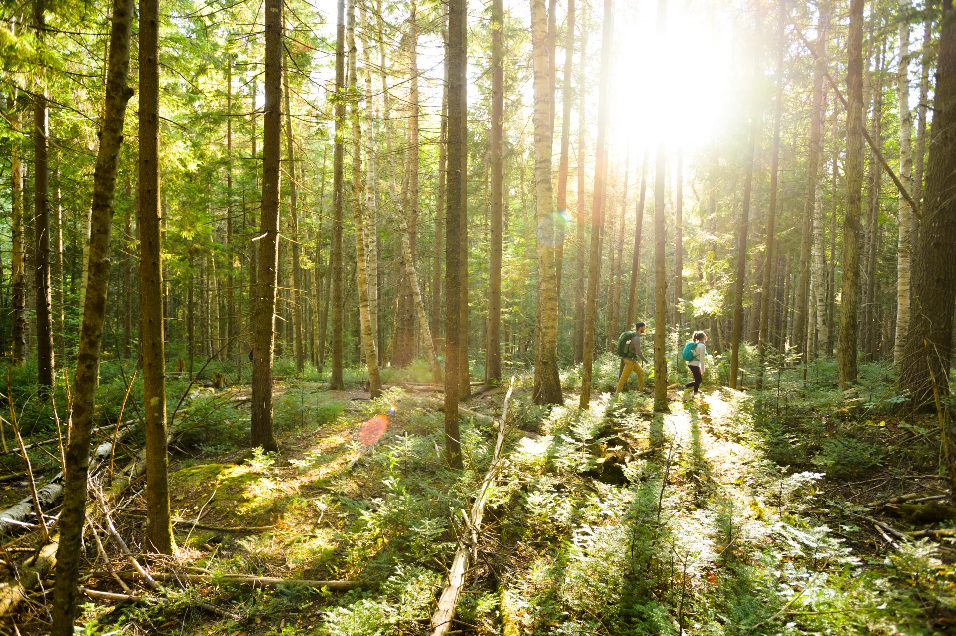
Hiking Haystack
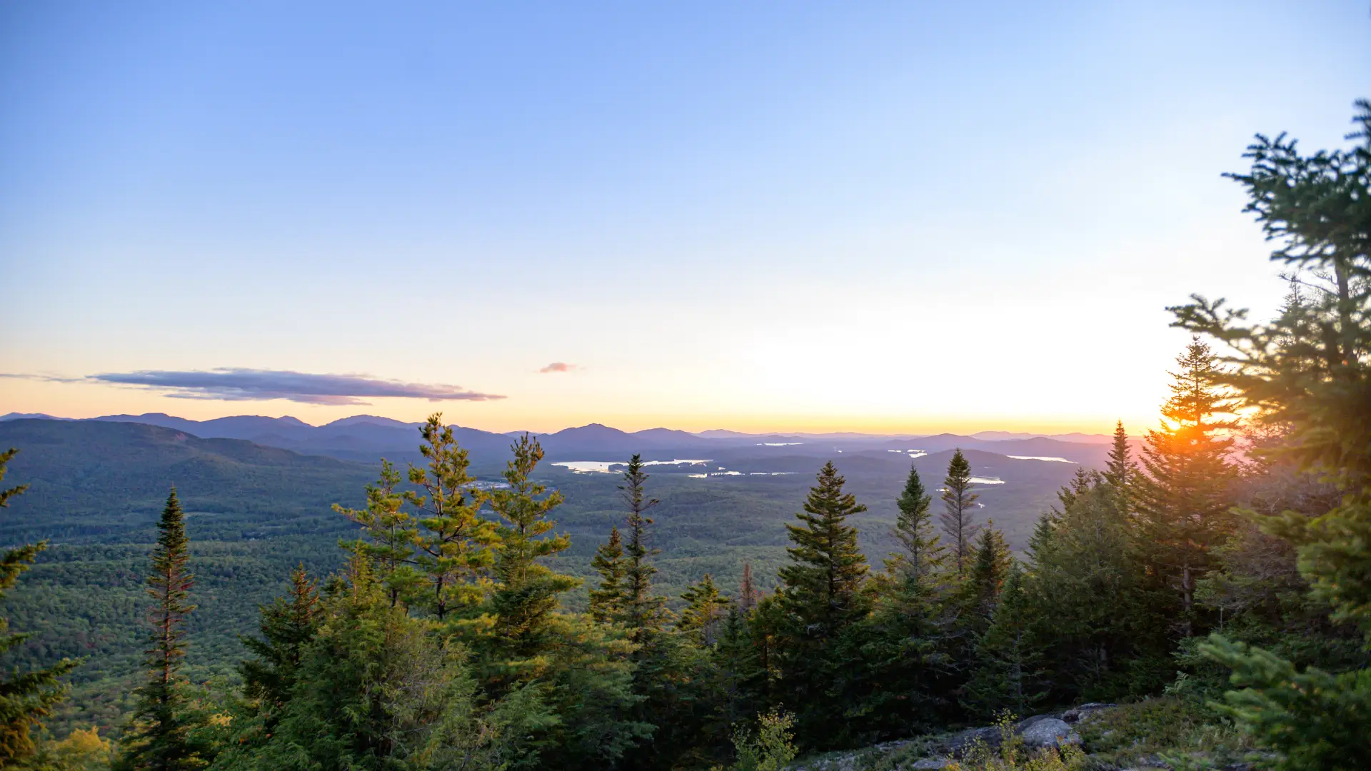
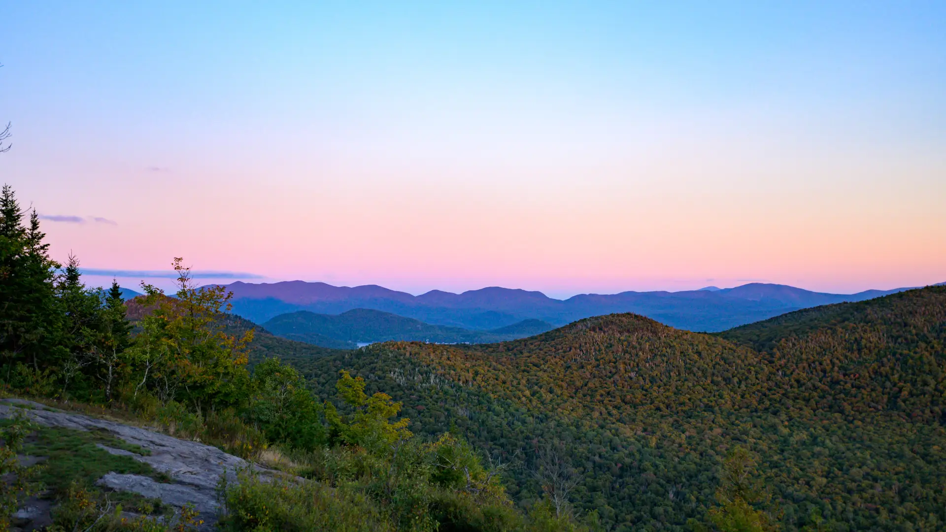
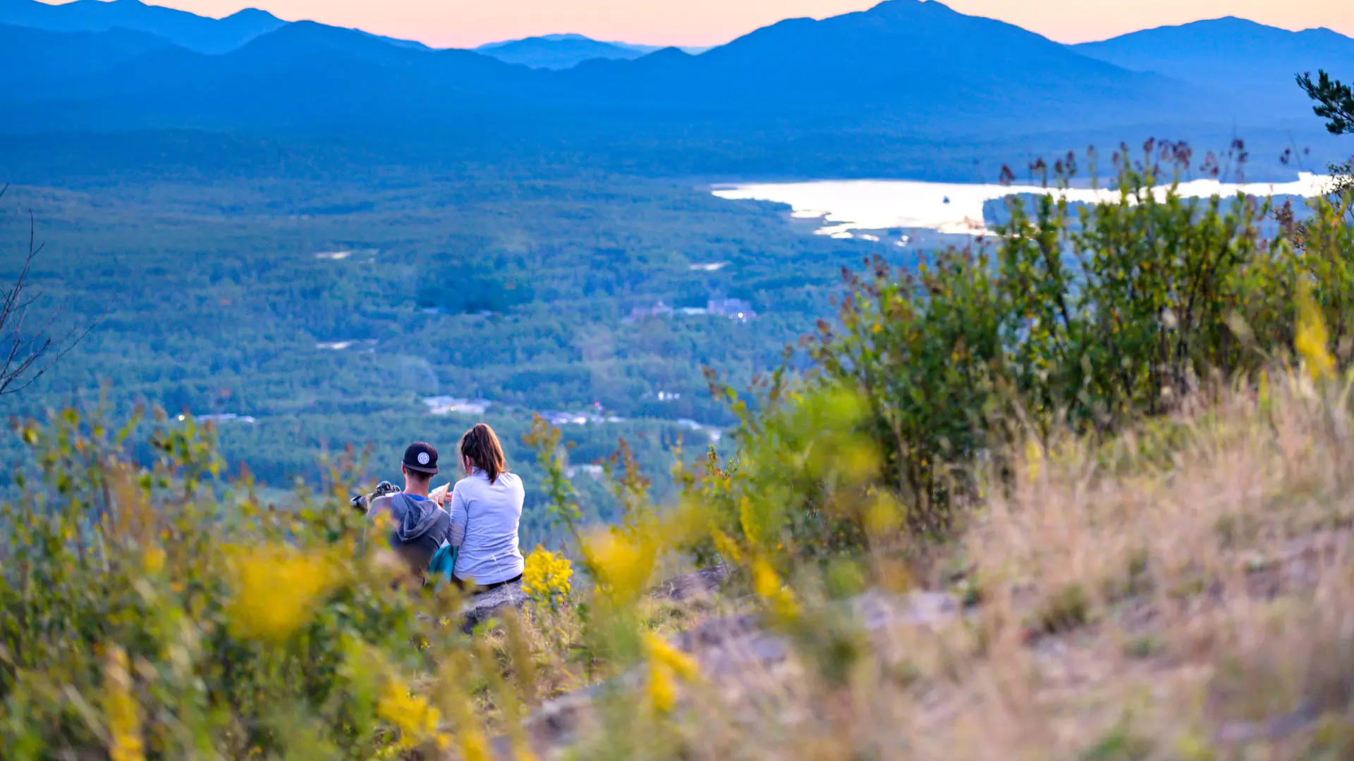
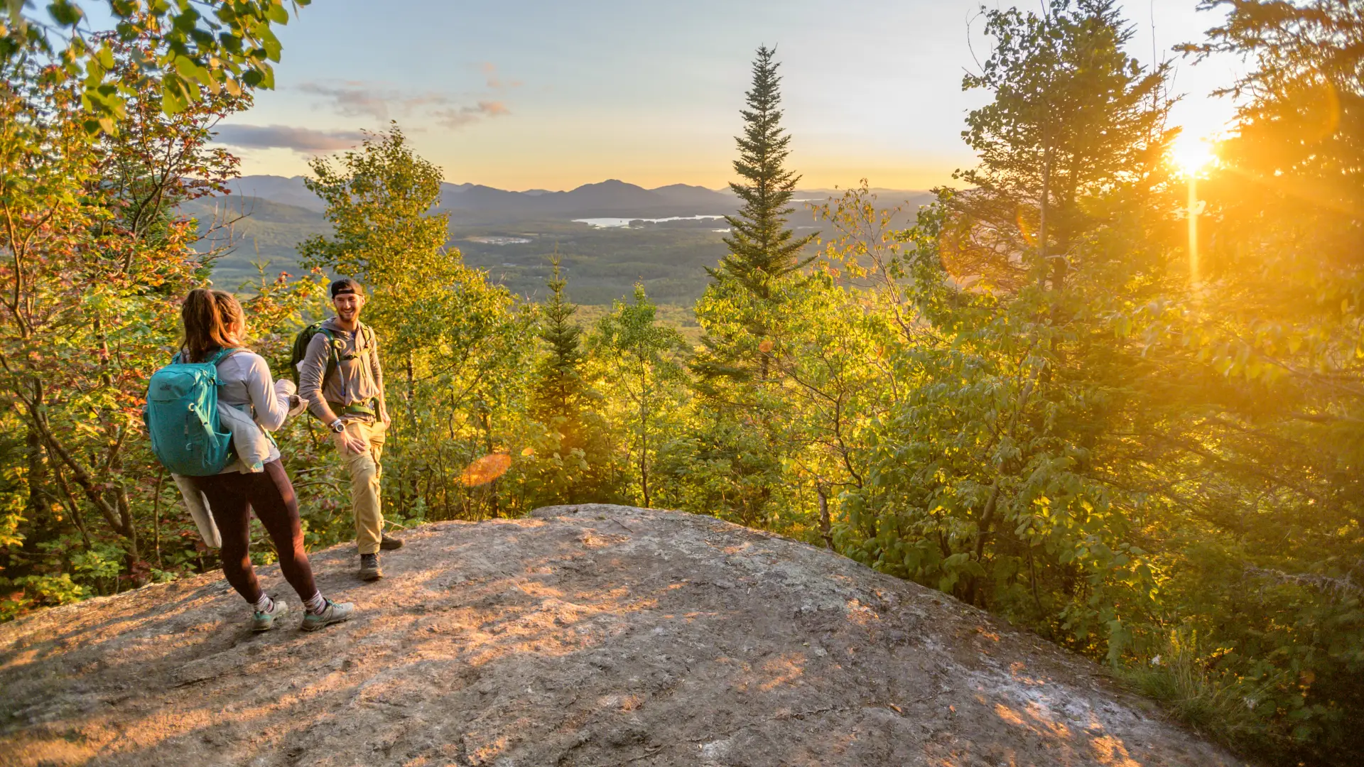
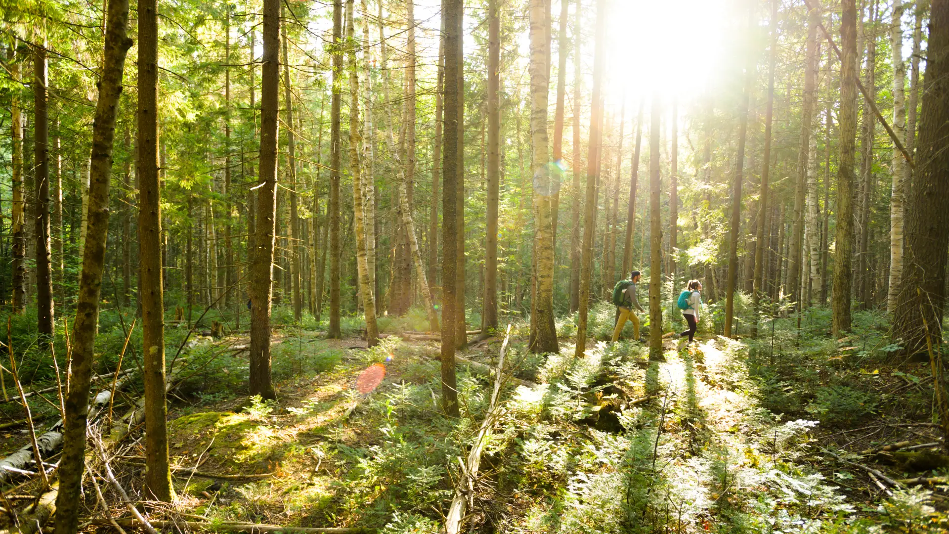
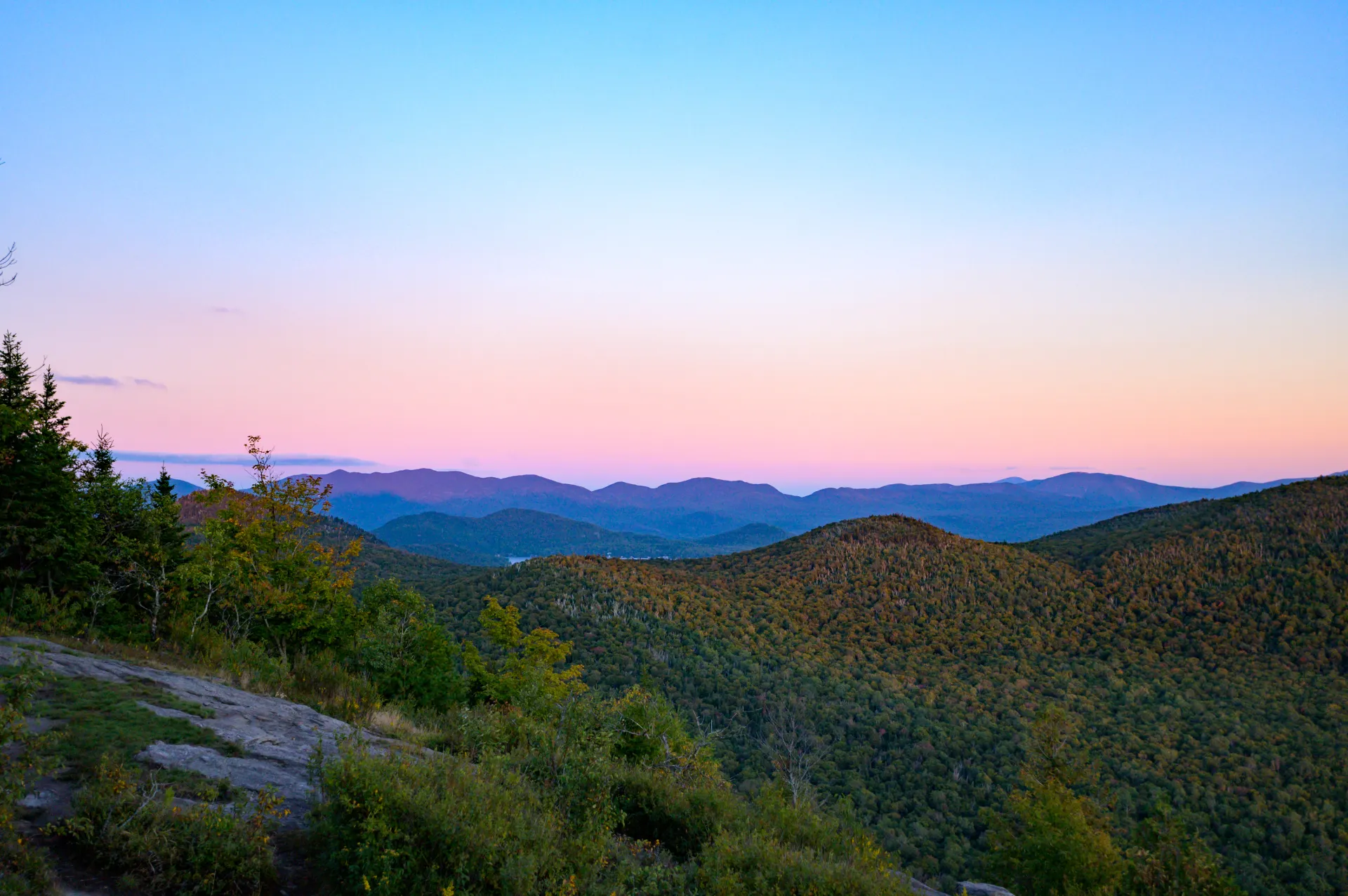
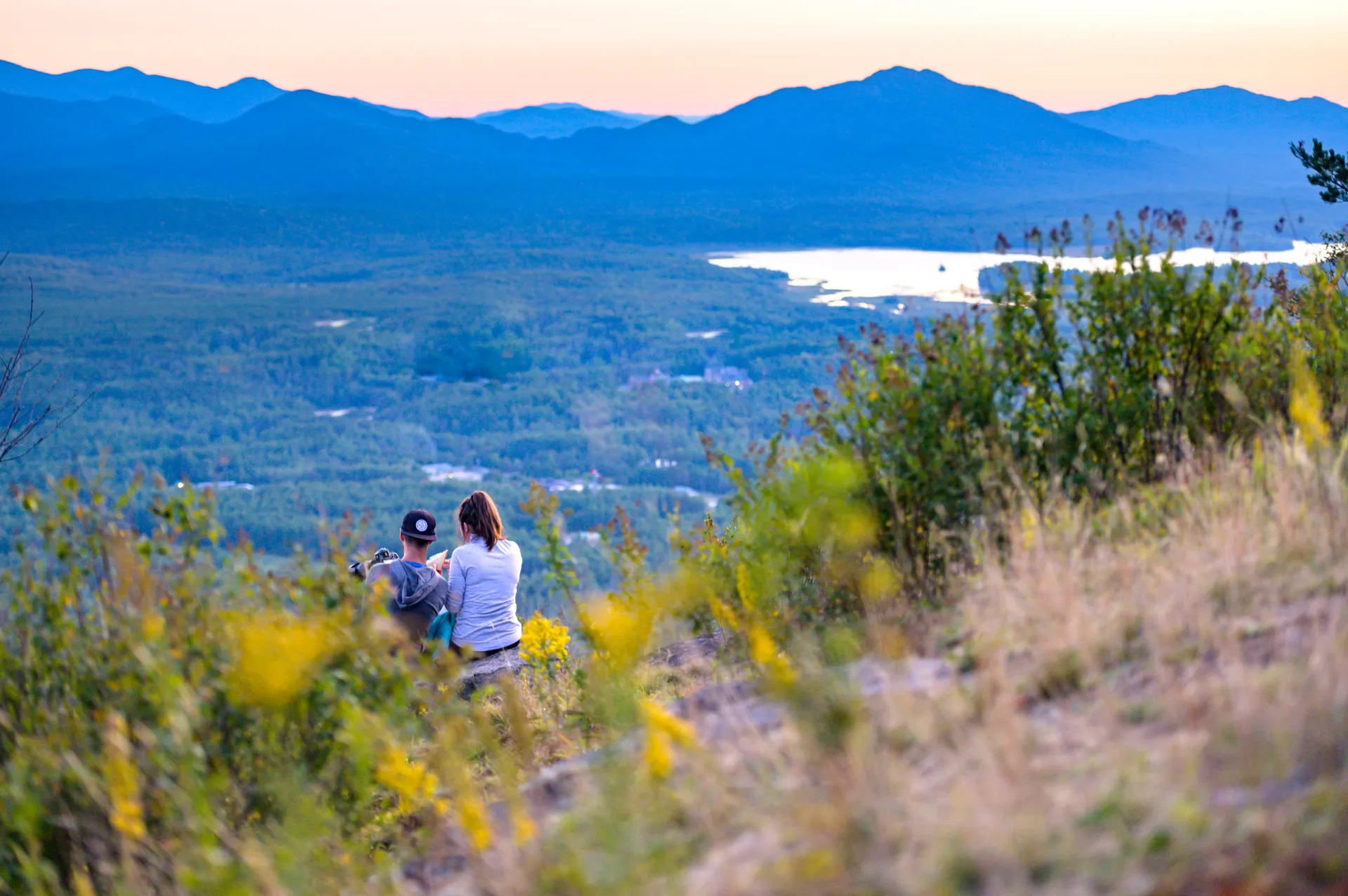
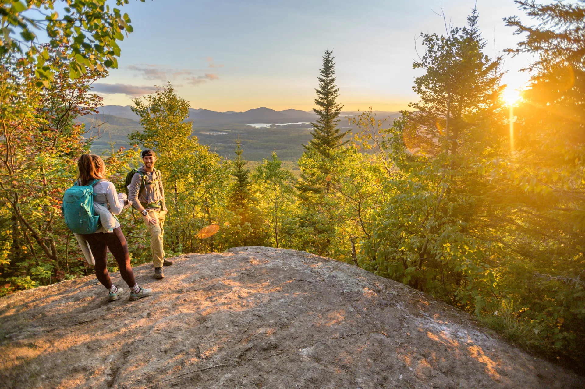
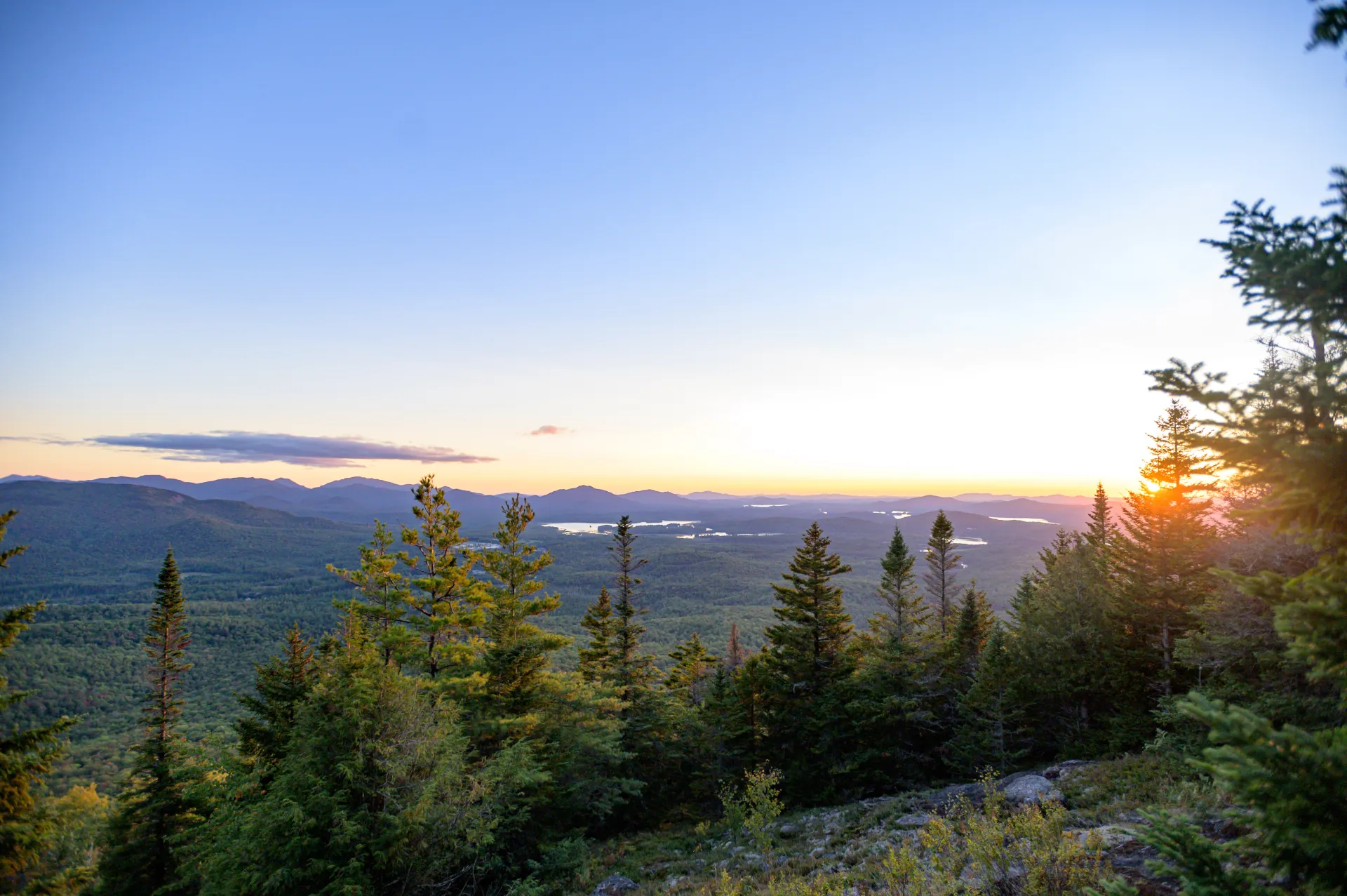
The 3.3 mile trail, one way, begins easy and gets quite steep before the summit ledge, where there are outstanding views. The trail, which in the beginning leads to both Haystack and McKenzie, follows gentle ups and downs as it passes through an open forest at the base of Little Burn Mountain. The path swings right at 1.5 miles, then descends to Ray Brook before climbing moderately to the trail junction at 2.4 miles. To hike Haystack, take the left hand trail. Staying to the right will lead you to the even bigger McKenzie Mountain. After the intersection, the trail crosses a dam and begins an aggressive climb. At 3.0 miles the path climbs steeply up an eroded gully and views begin to appear. The open ledge is reached in 3.3 miles. The views to the south are outstanding and the High Peaks in the background look especially big.
Haystack Mountain in the winter
This is a fairly challenging snowshoe to a fantastic view of the High Peaks. Snowshoes are necessary to avoid post-holing through the snowpack, and microspikes are required to ascend the mountain's steeper sections. Extra layers of non-cotton clothing, a windbreaker, emergency blanket, first-aid kit, headlamp with extra batteries, and plenty of food and water are essential items for any winter excursion. The extra layers and windbreaker are especially important on the exposed summit, which will be much colder than the lower sections of the mountain. Being prepared is necessary for any winter hike.
Find your perfect trail near Lake Placid
Does Haystack sound amazing, but a little more than you want to tackle right now? No need to stress, with over 2000 miles of hiking trails in the Adirondacks we are sure we can find the perfect hike for you.
How to get there
From the intersection of Route 73 and Route 86 in Lake Placid follow Route 86 toward Saranac Lake. Continue for roughly 5 miles to the trailhead for Haystack and McKenzie on the right.