- Out and Back
- Out and Back
- Out and Back


About
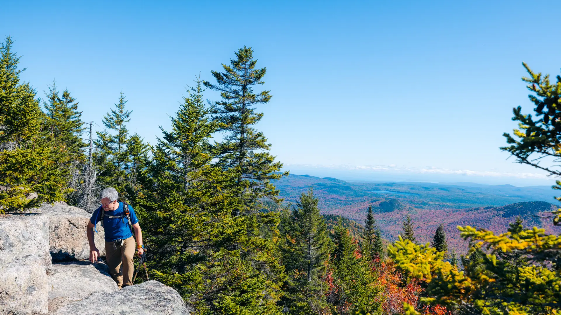
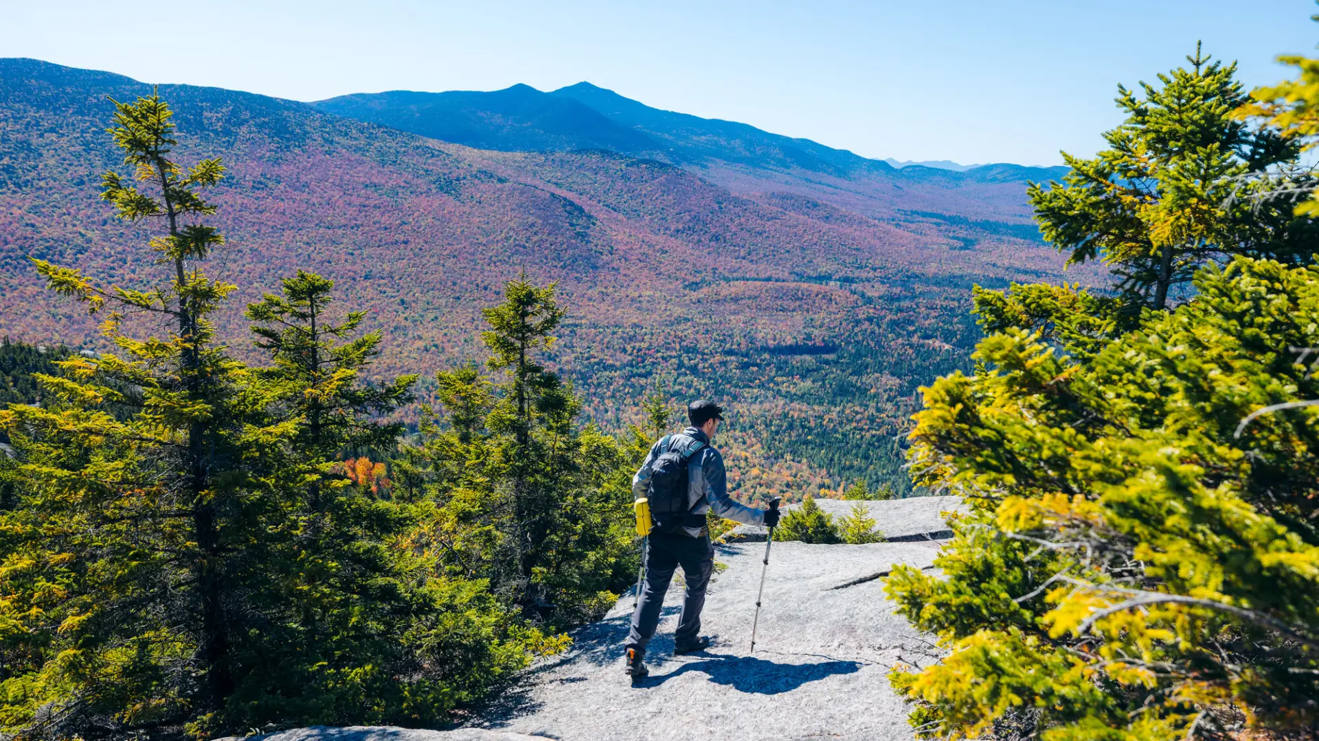
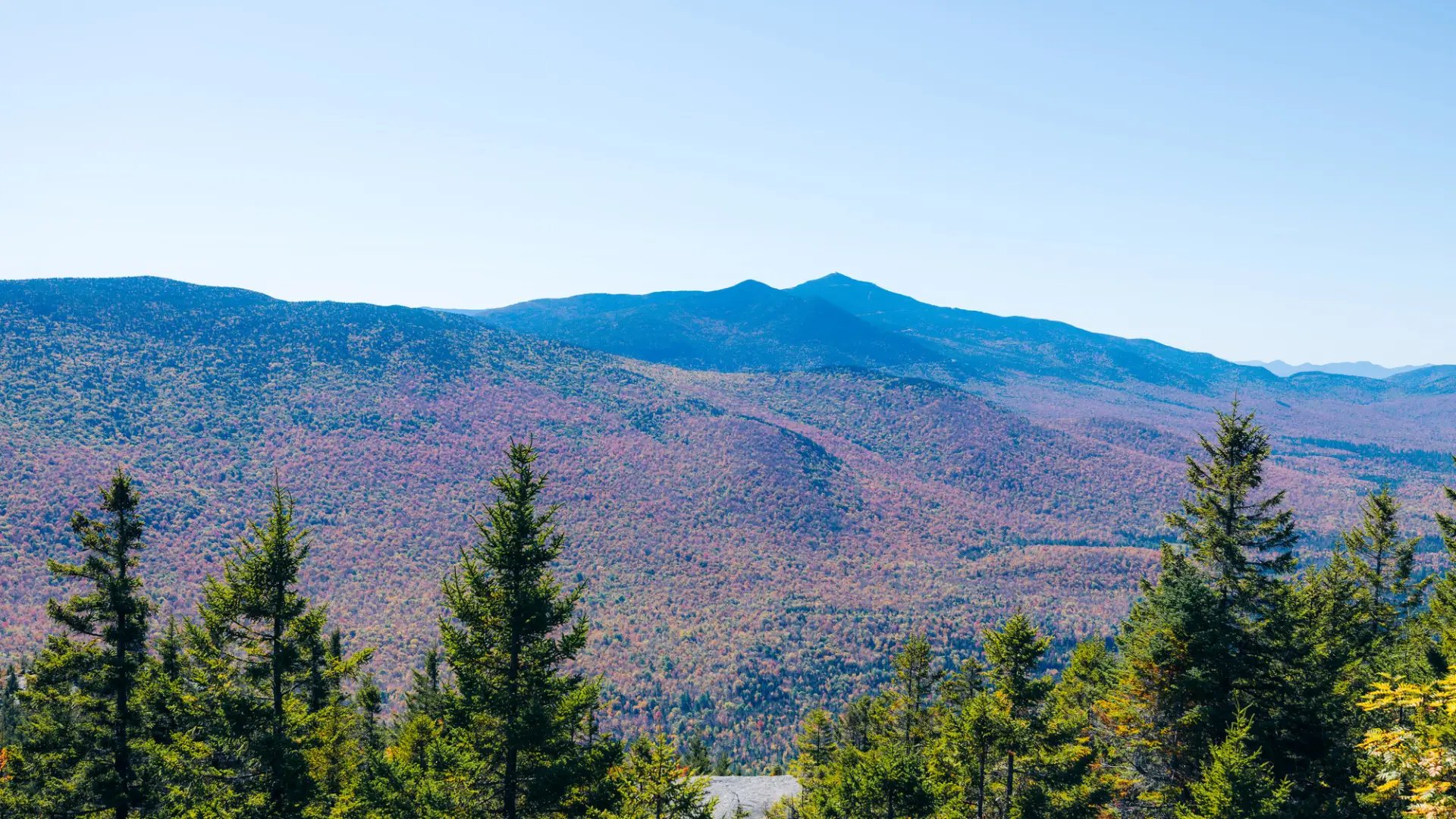
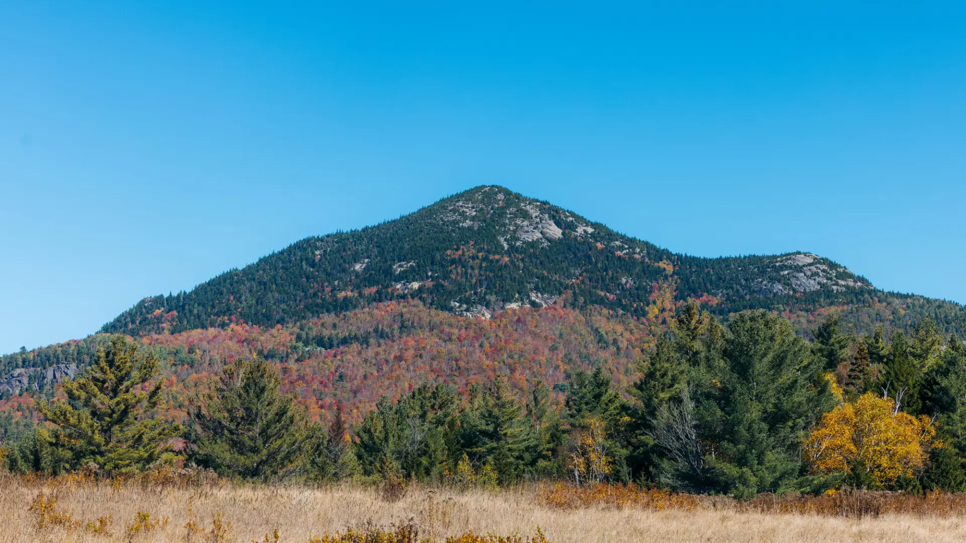
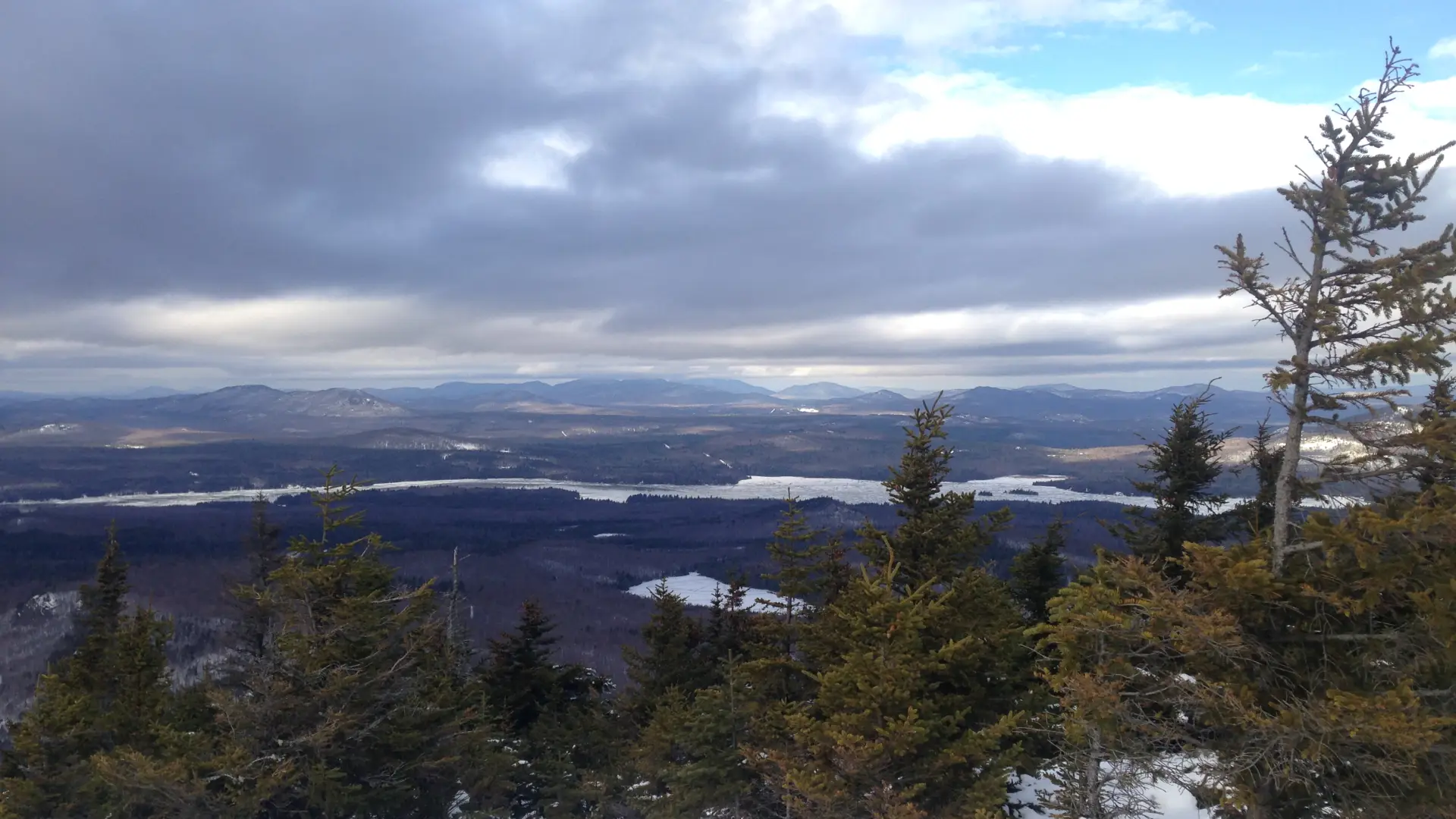
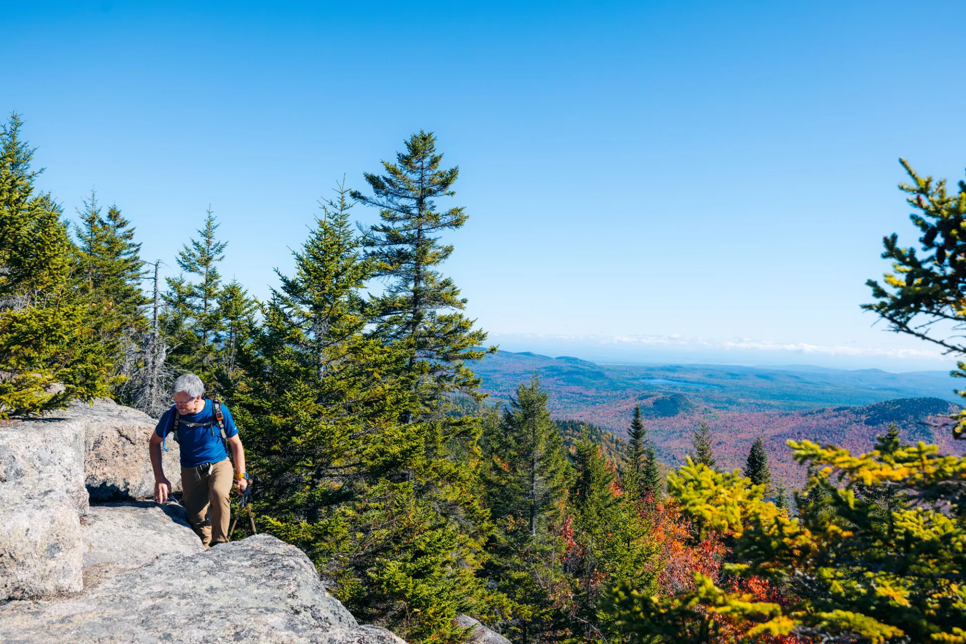
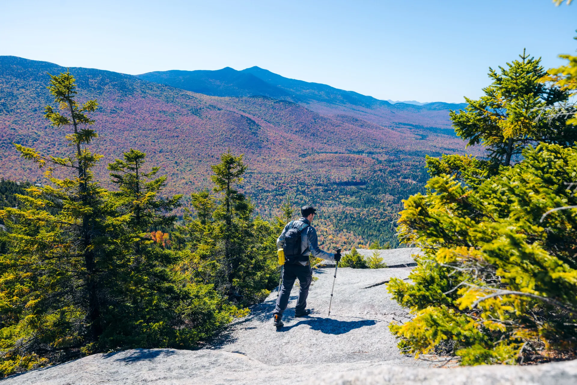
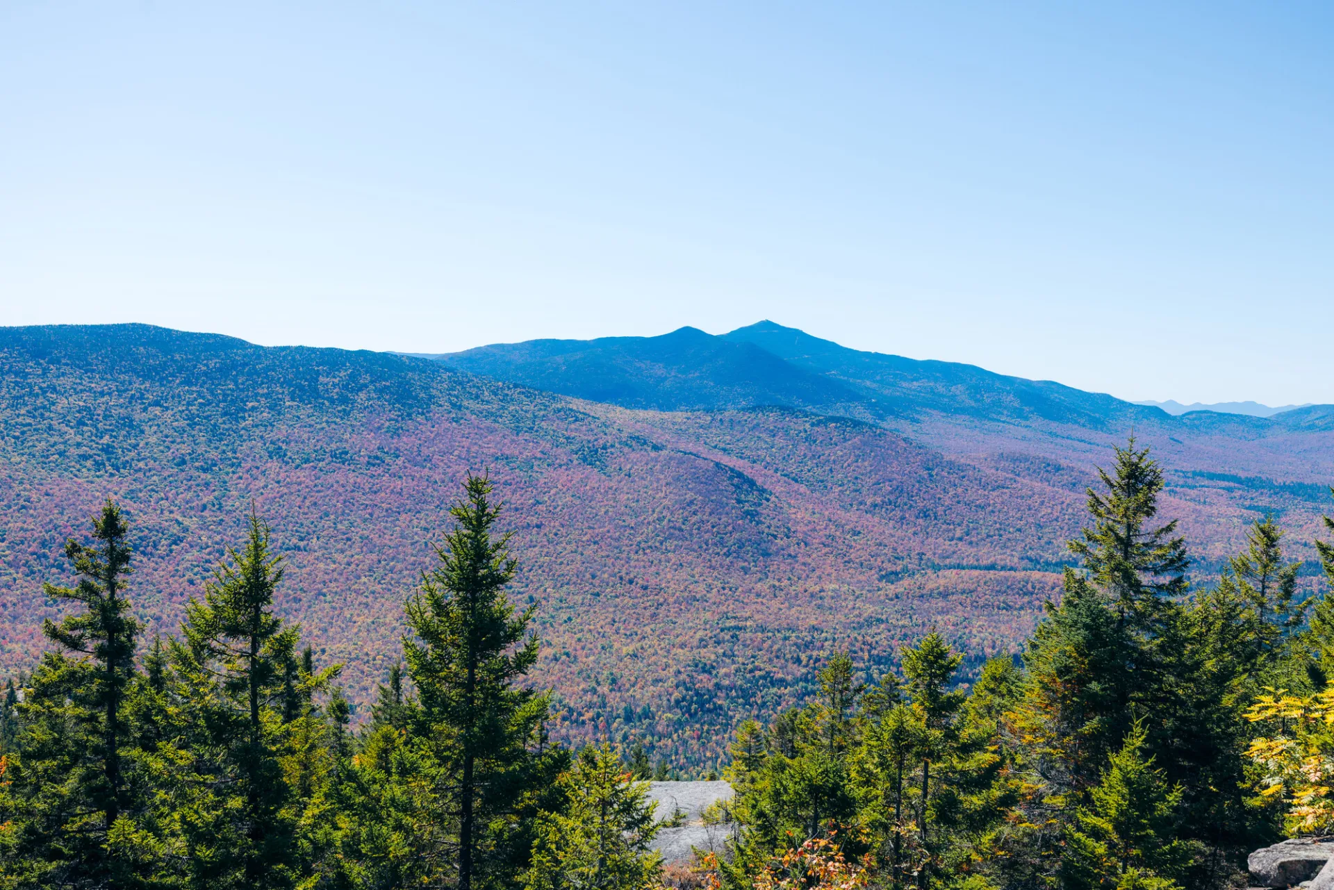
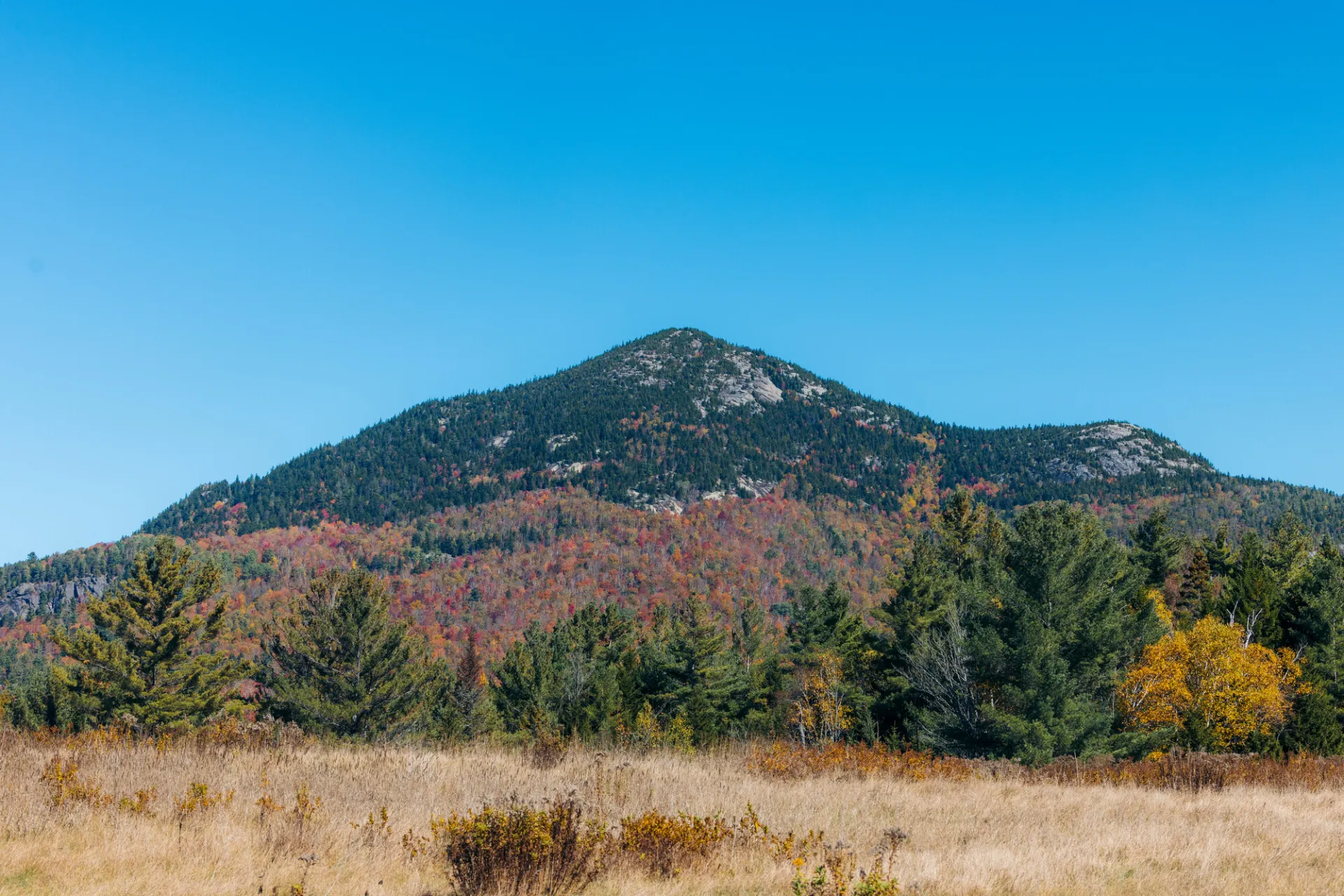
Catamount Mountain in one of the more popular gems of the Whiteface Region. With its two open summits, it affords spectacular views of the entire region. In season, the blueberries are nearly as spectacular as the views. Hikers should learn about Leave No Trace principles before hiking any trail in the Adirondacks.
Key takeaways
- Distance: 3.8 miles round trip
- Elevation gain: 1,600 feet
- Mountain elevation: 3169 feet
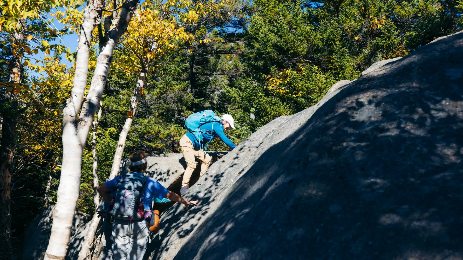
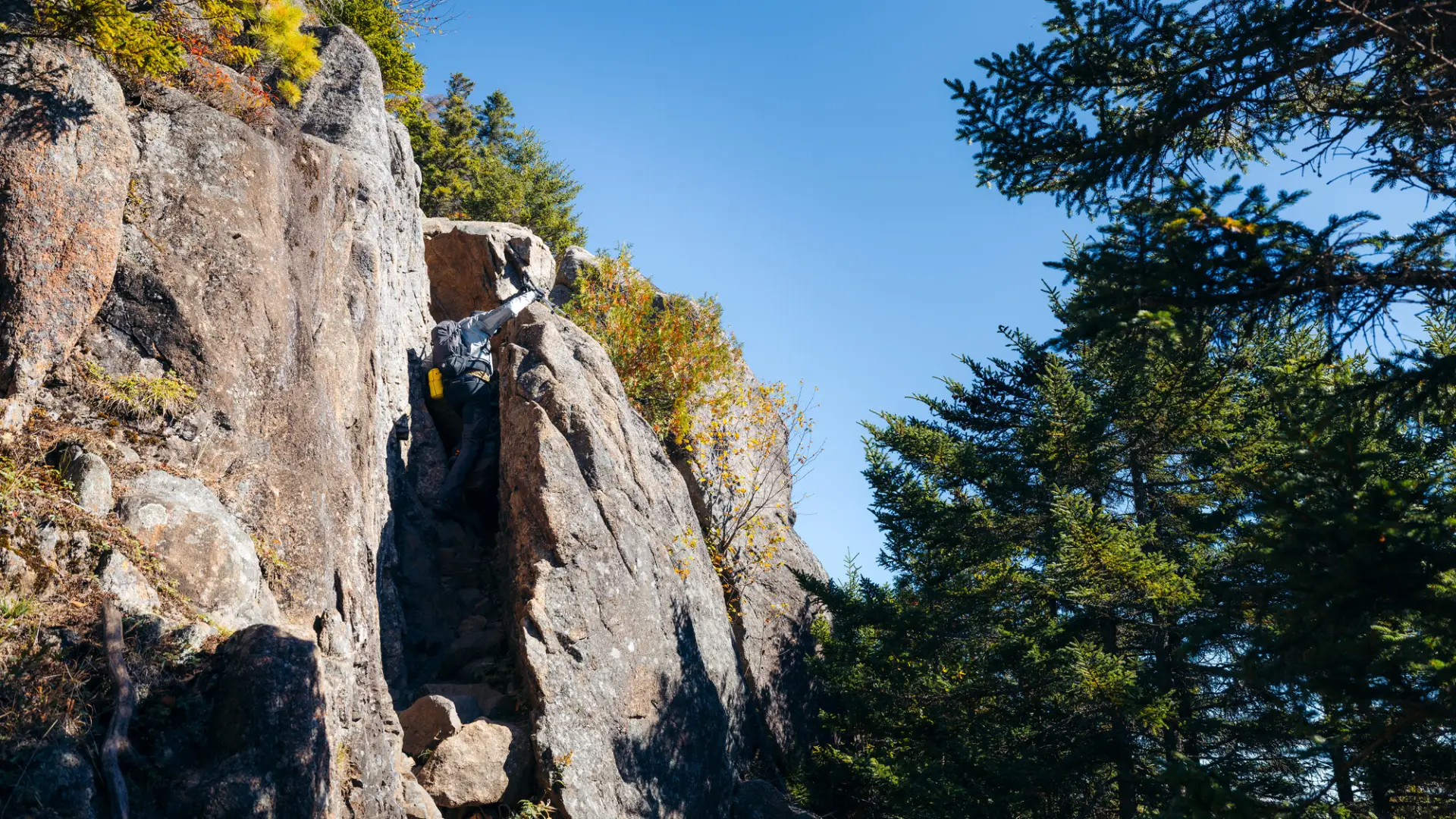
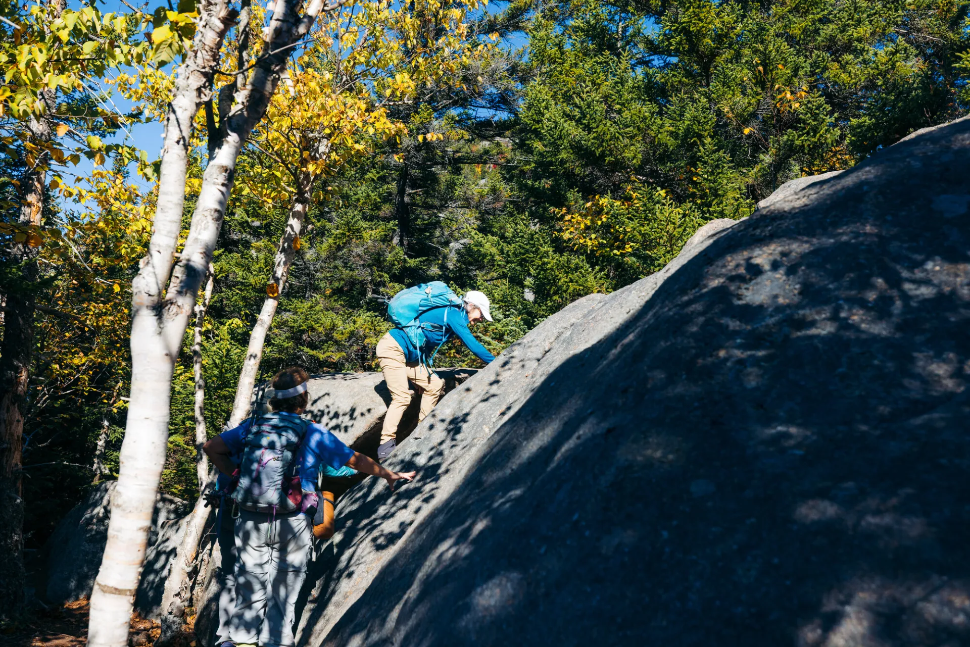
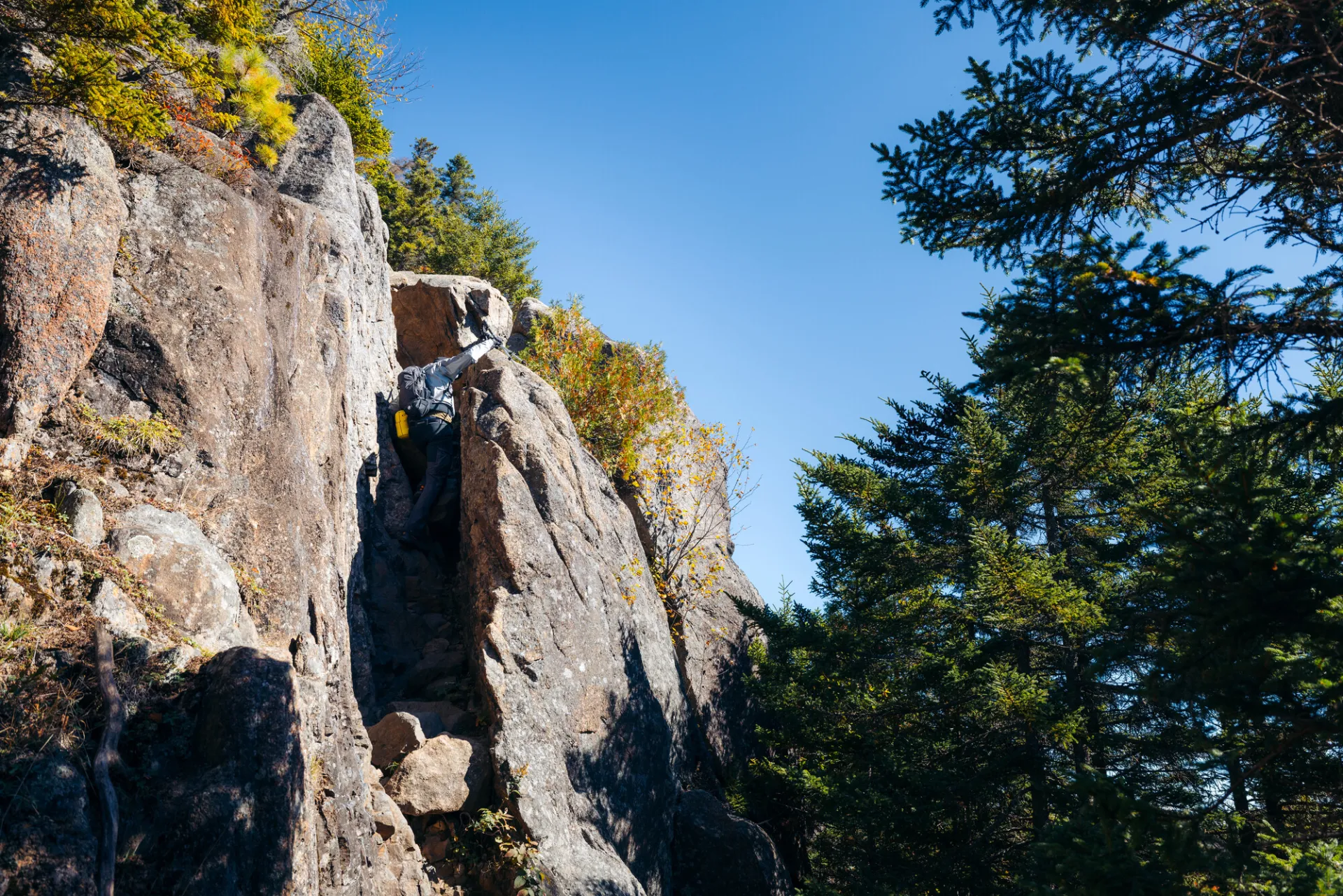
- Hike includes steep rock slab and an exposed summit
Hiking Catamount Mountain
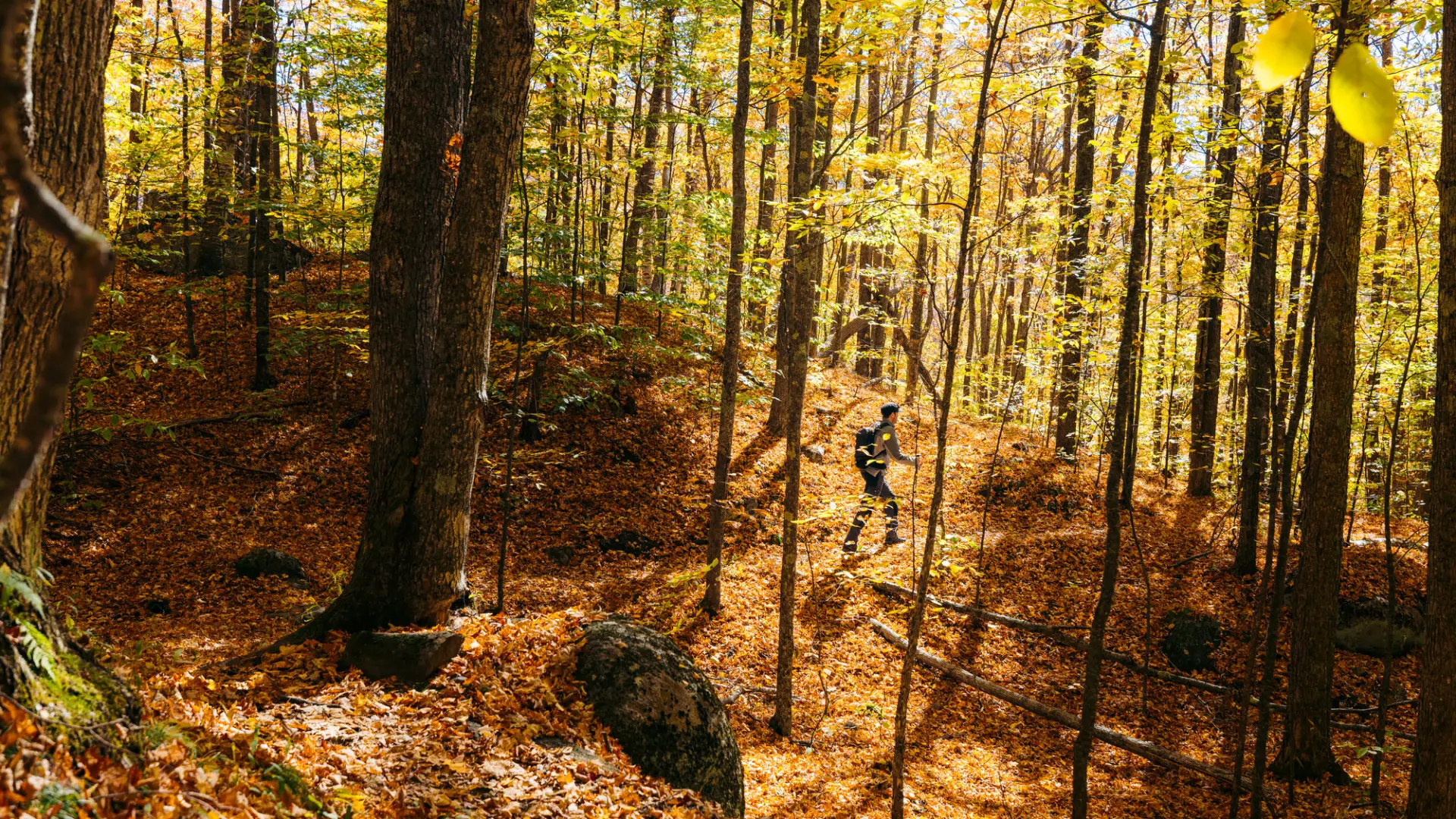
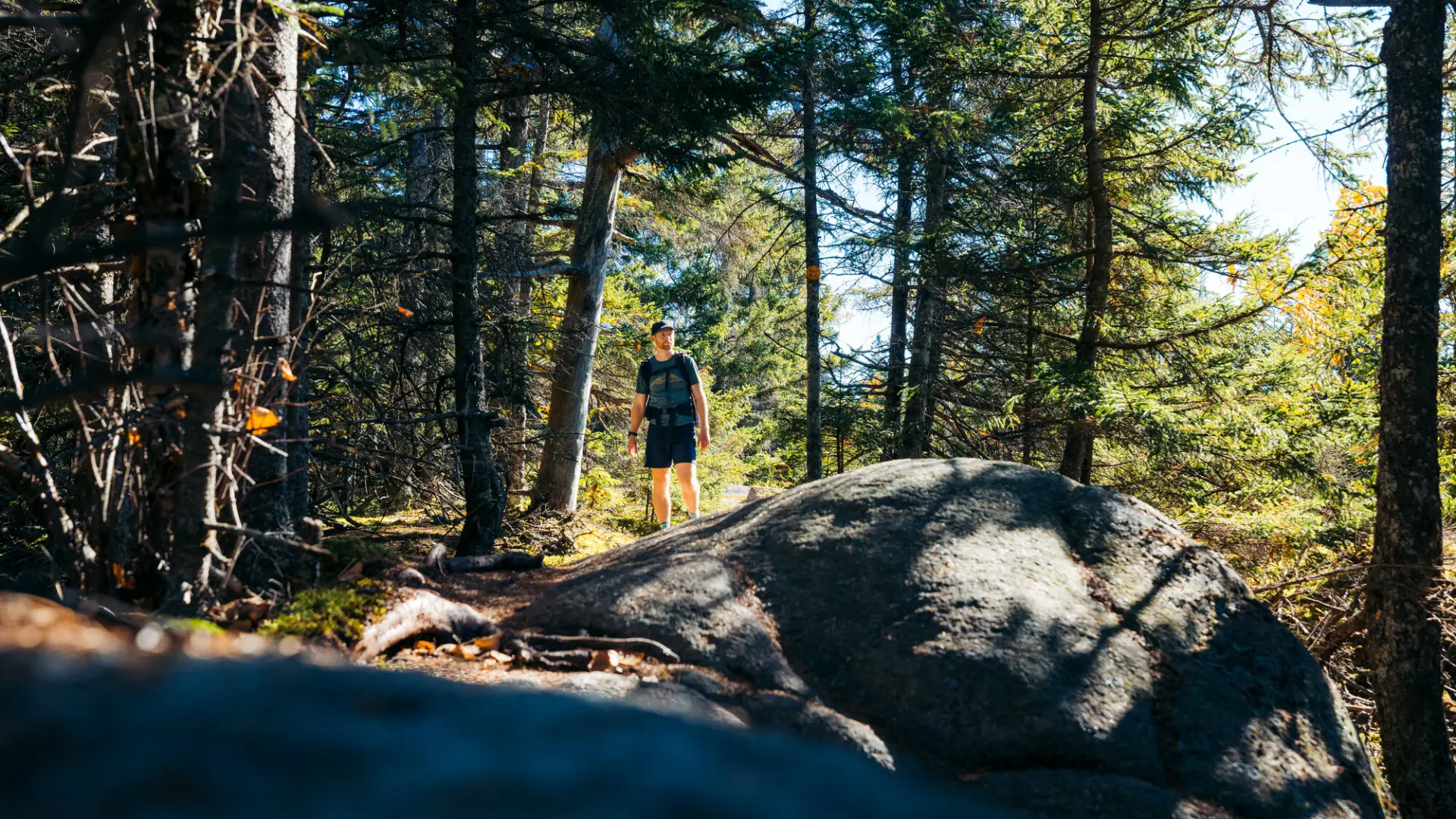
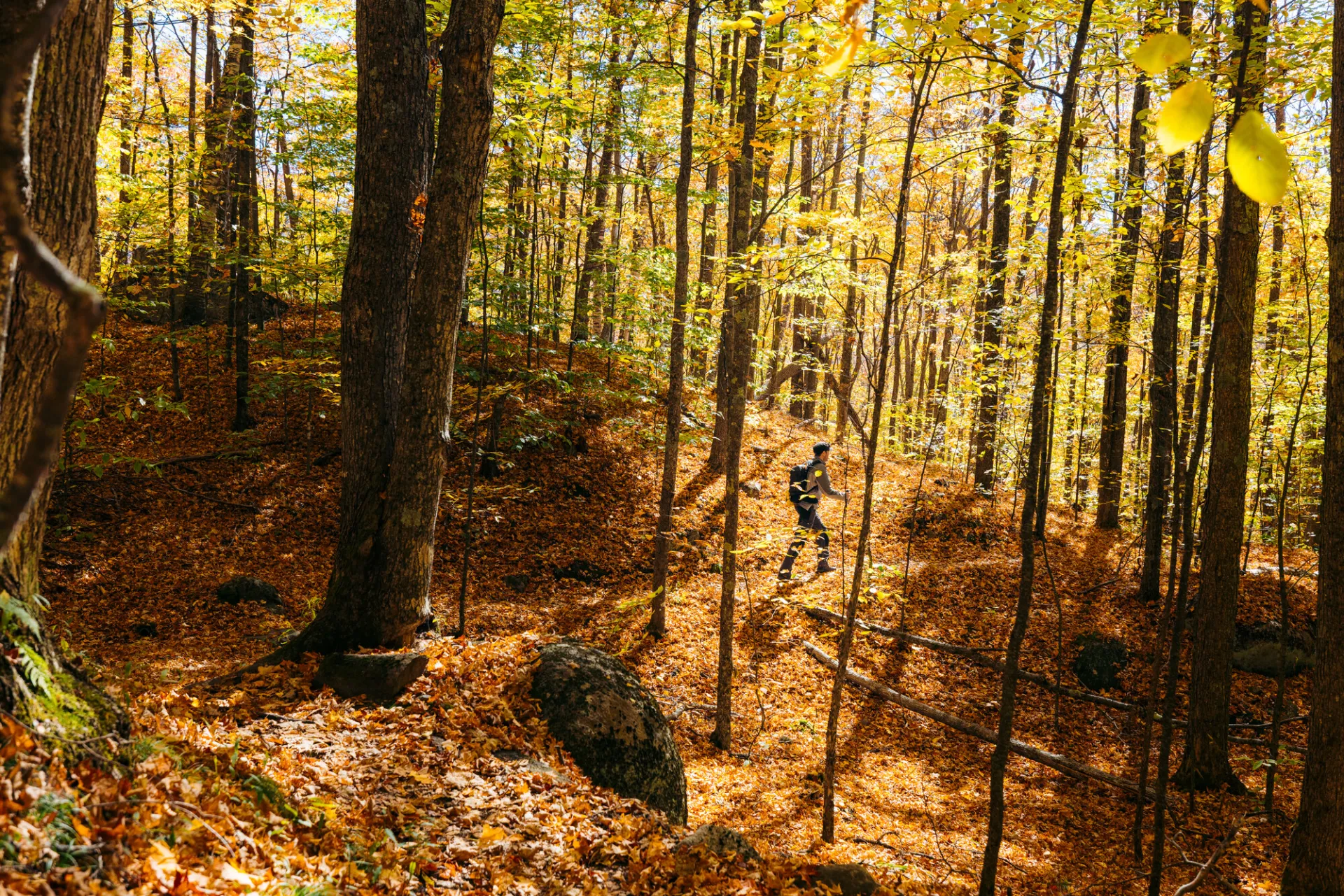
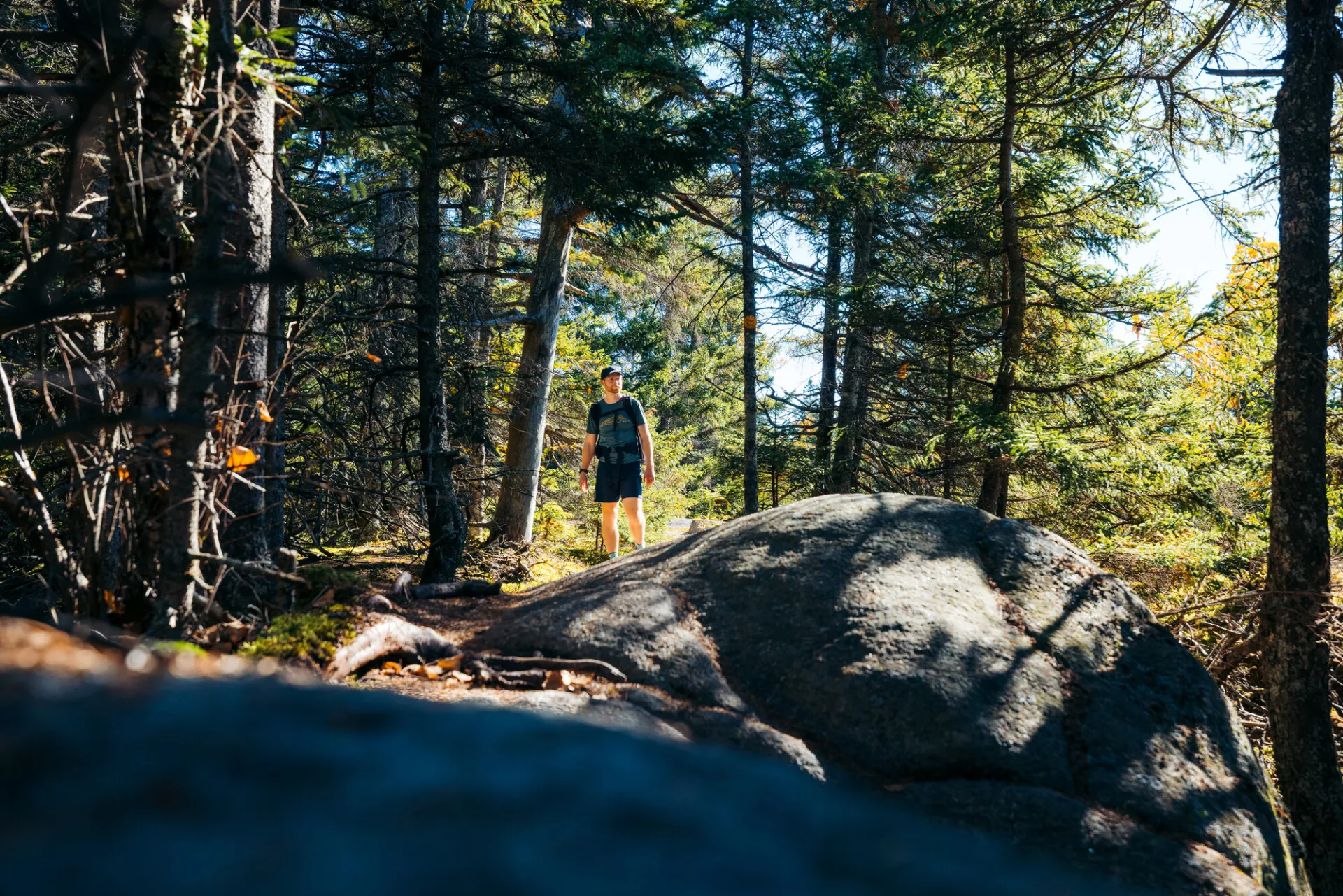
This is a 1.8 mile hike, one way, over moderate to steep terrain. From the trailhead parking area and trail register, you will start hiking on the flat through semi-open terrain with many wild flowers in bloom in season. At 0.6 miles, the trail bears right and begins to climb, dips to cross a brook at 0.8 miles, and then continues a mostly steep climb to the base of a steep chimney at 1.4 miles. This chimney requires some scrambling and may be difficult for small children and dogs or anyone not comfortable on high places. After this short challenging stretch, the open rock summit at the top of the chimney offers good views and is a worthy destination. Past this first summit, the trail briefly dips before resuming a zig-zagging climb across a series of open ledges. The trail is marked with intermittent cairns and fading paint blazes and requires some care to follow before reaching the summit at 1.9 miles.
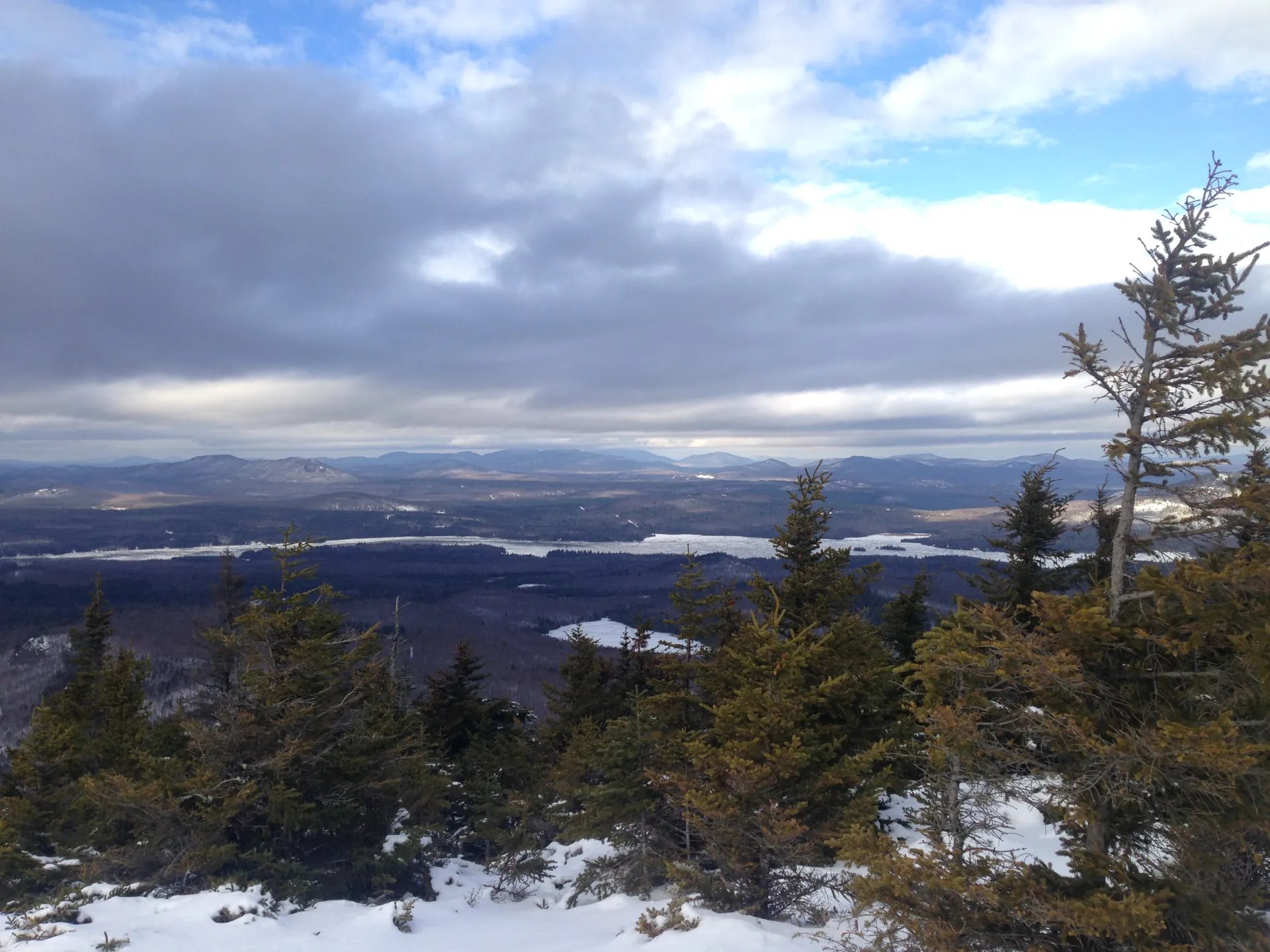
Catamount in the winter
Catamount can be a challenging mountain in the winter, so make sure you are prepared. Snowshoes are necessary, and microspikes are needed to climb the exposed upper reaches of the peak. Plan on temperatures in the higher elevations being at least 20 degrees colder than at the trailhead, not including the windchill. Bring several extra non-cotton layers, a headlamp with spare batteries, extra food, a windbreaker, goggles, and a face mask. This trail is not recommended for cross-country skiing.
Find your perfect trail
Does Catamount sound amazing, but a little more than you want to tackle right now? No need to stress, with over 2000 miles of hiking trails in the Adirondacks we are sure we can find the perfect hike for you.
How to get there
From downtown Lake Placid, take scenic route 86 toward Wilmington. From the four-corner intersection in the village of Wilmington, head west up Route 431. At the intersections for the Whiteface Memorial Highway, just before the toll house, bear right toward Franklin Falls (CR 72 - Gillespie Drive on some maps). Continue for 3.3 mi.to Roseman Rd. (may not be a sign), take a right. Follow Roseman Rd. for 0.8 mi. to Plank Road. Turn right onto Plank Rd. for 2.2 mi. to the new parking area on the left.