

- Out and Back
- Out and Back
- Out and Back


About
Hiking New York state’s 36th tallest peak
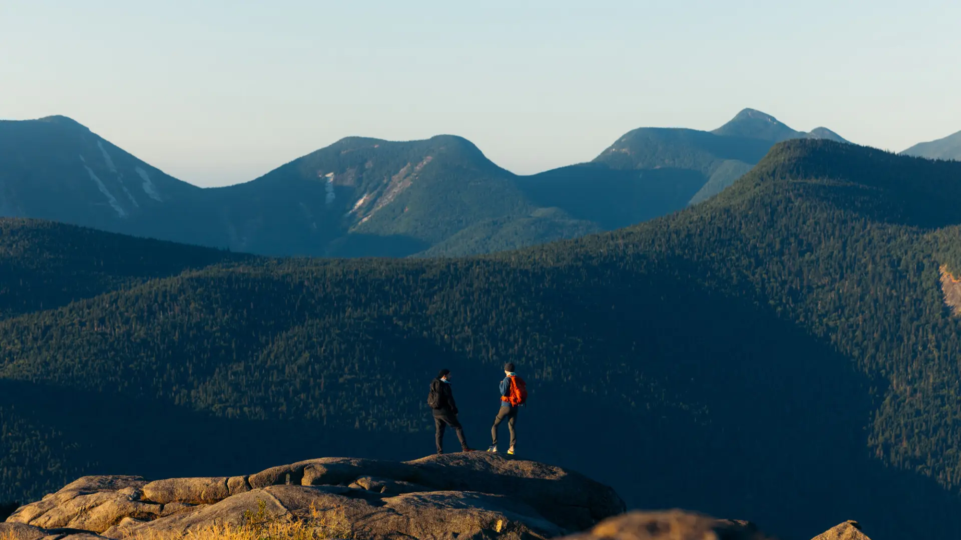
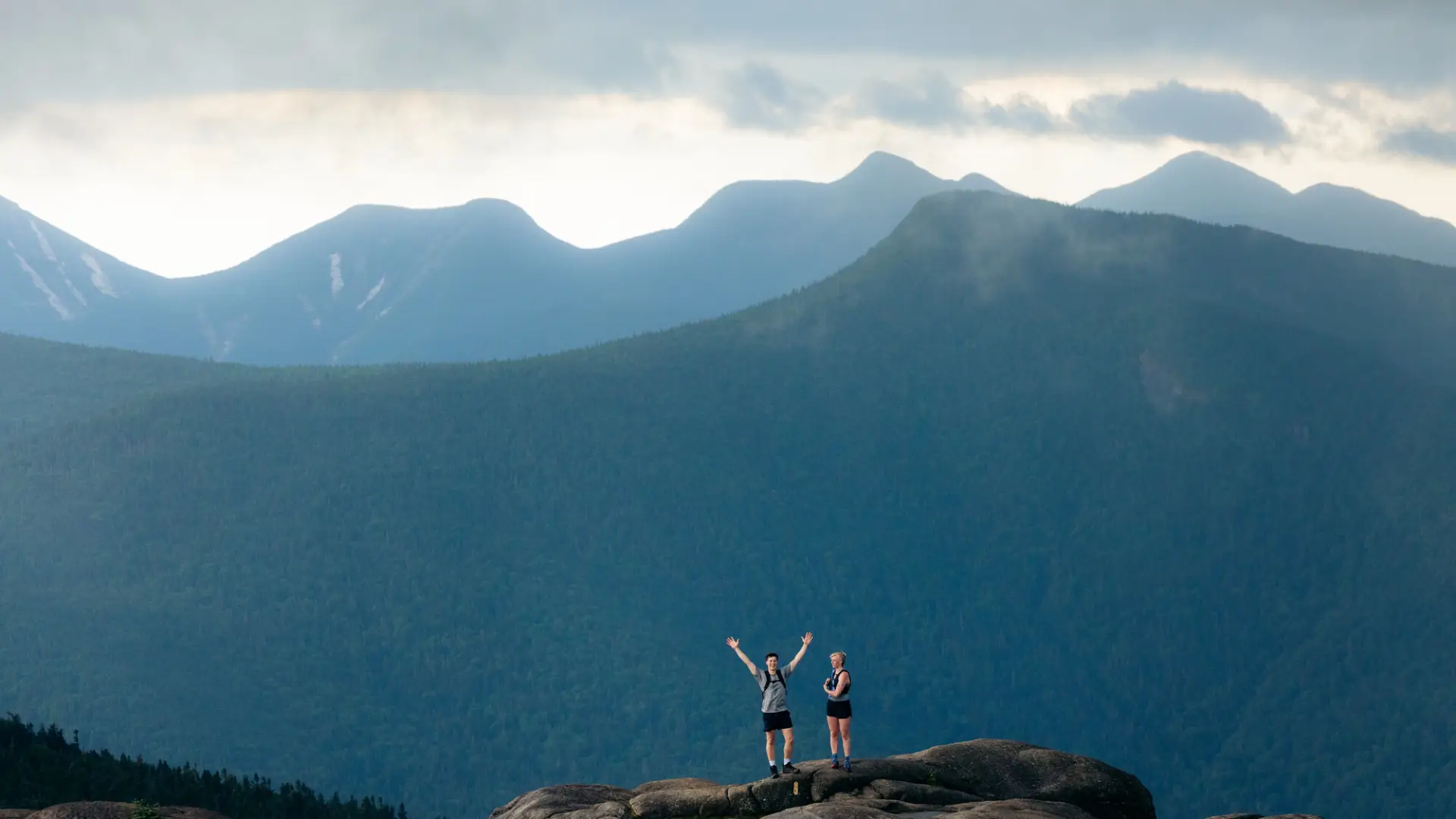
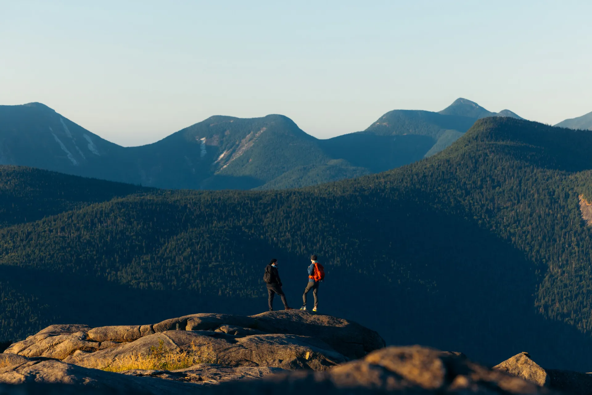
Cascade Mountain is the 36th tallest of the Adirondack High Peaks. The steep and rocky hike is popular, arrive early for a parking spot and expect the trail and summit to be busy. A successful hike up Cascade requires physical fitness, proper supplies, and knowledge of Leave No Trace principles.
*Please note that the NYSDEC is creating a sustainably-built trail up Cascade that will become the main way to hike Cascade. This page will be updated as trail updates occur.
Key takeaways
- Elevation: 4,098 feet
- Elevation gain: 1,940 feet
- Distance: 2.4 miles, one way, to the summit (4.8 round trip)
- Hike includes steep rocky sections, a trail junction, and an open summit
Hiking Cascade Mountain
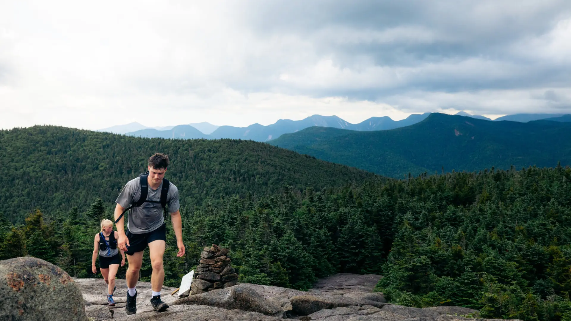
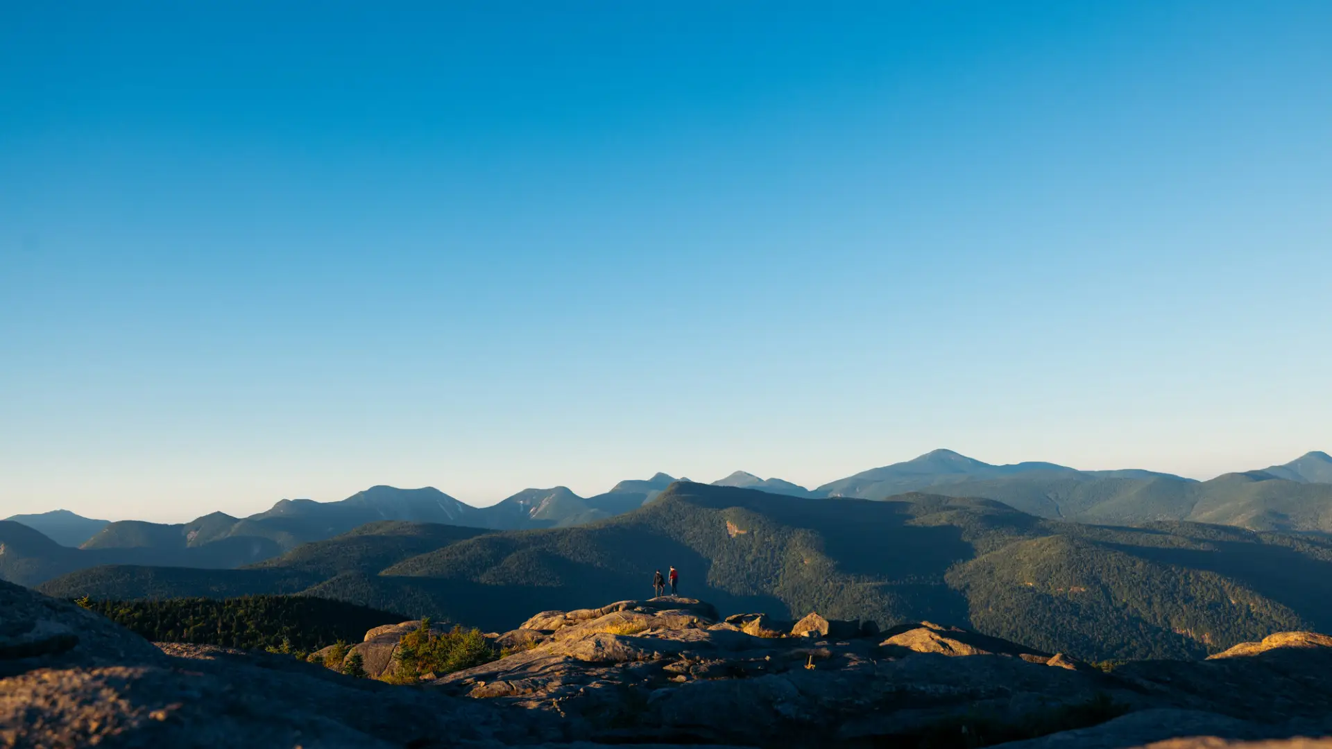
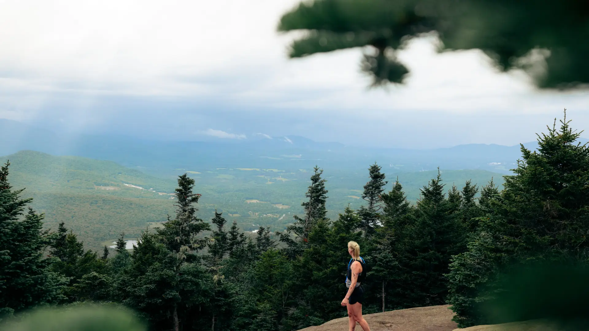
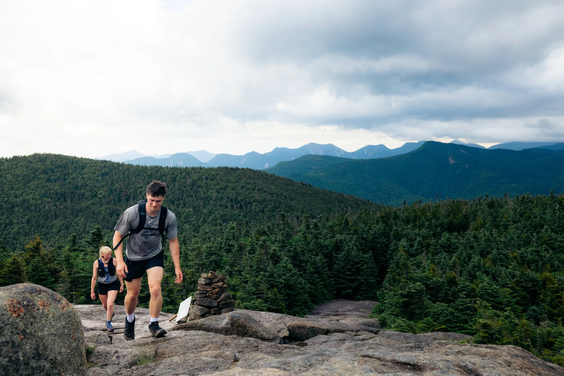
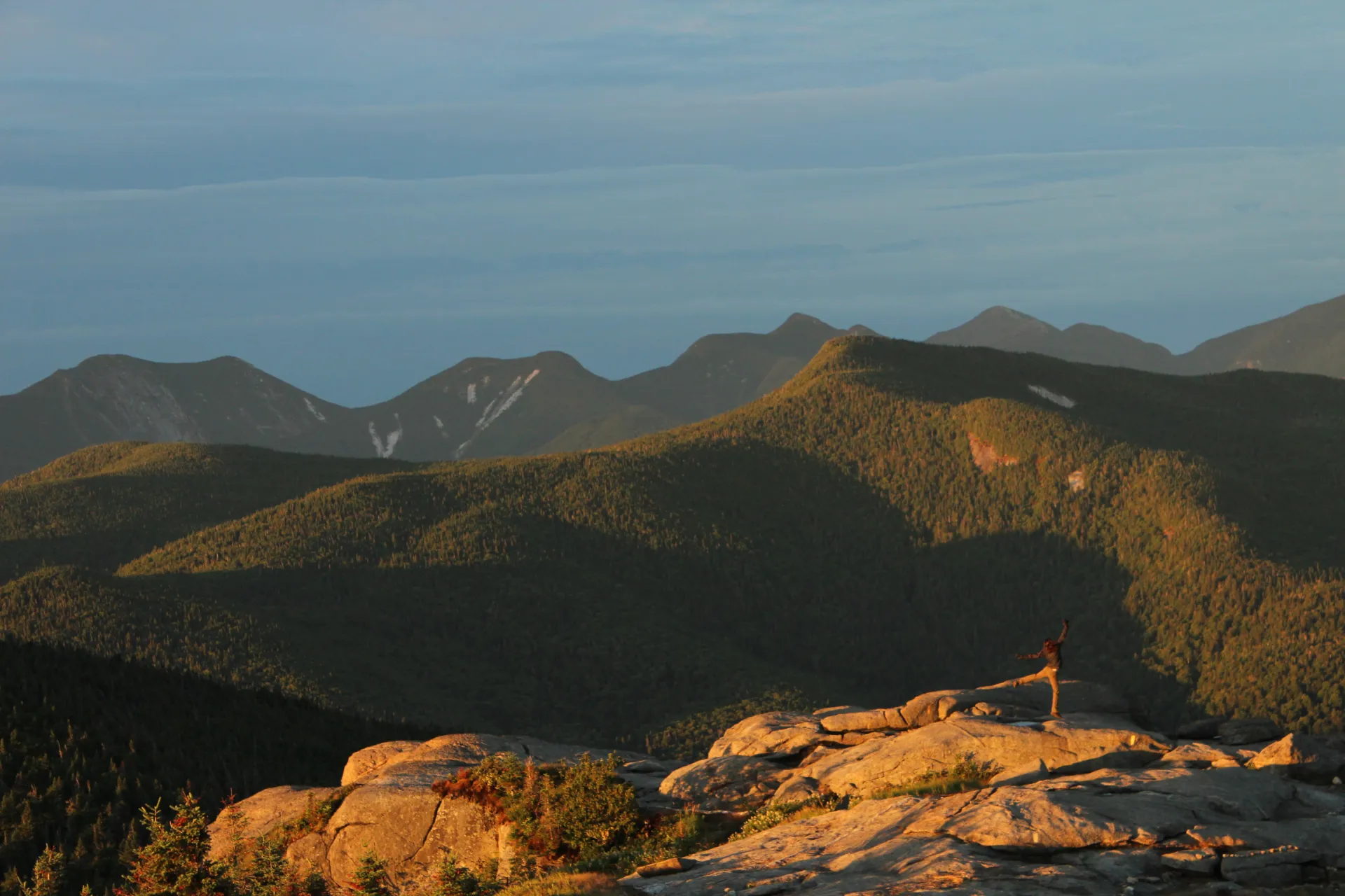
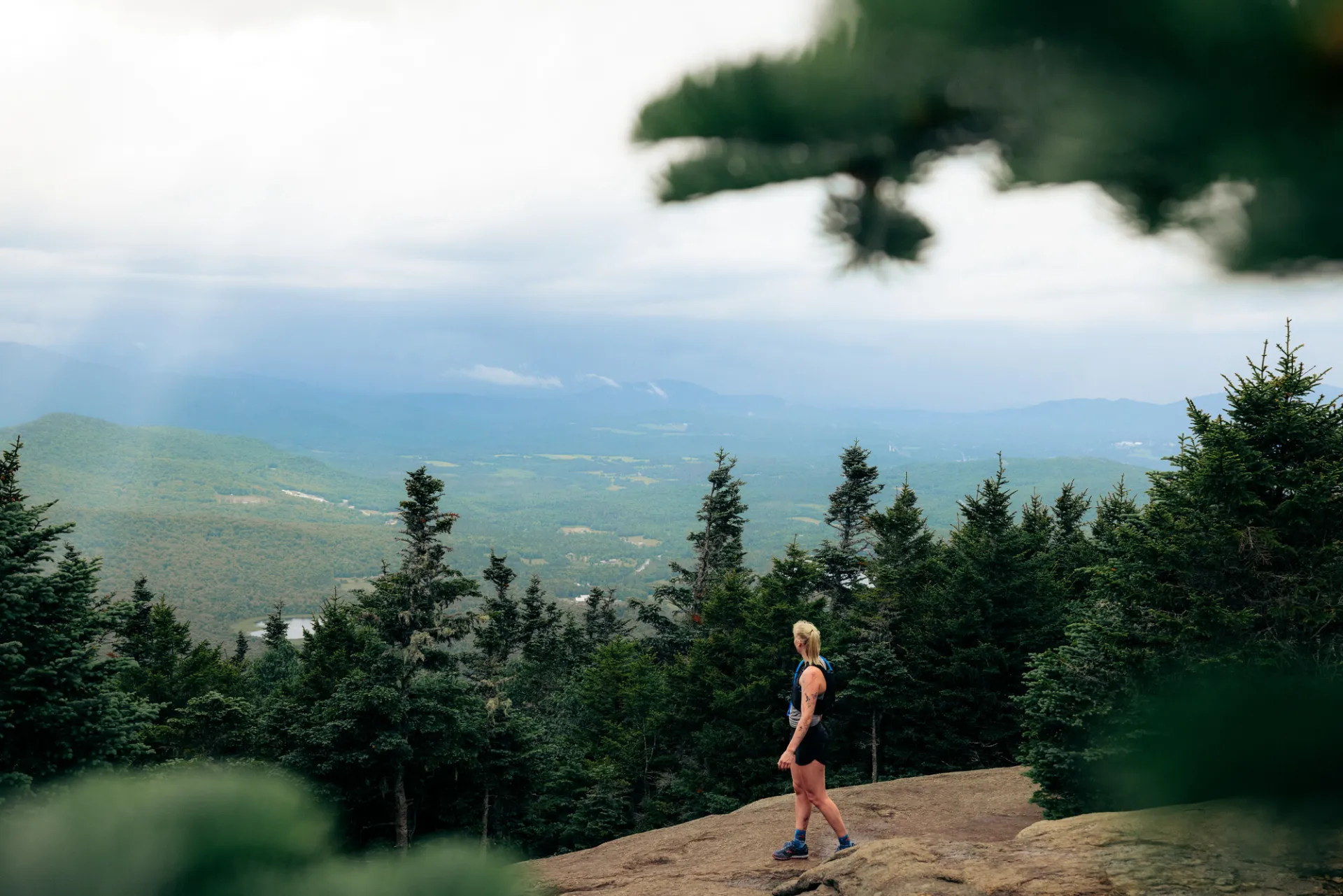
The trail up Cascade Mountain drops away from the highway via a set of stairs and crosses a bridge before reaching the trail register. After that, it immediately begins to ascend at moderate grades. The path levels off and crosses a stream at 0.6 miles, and another brook on rocks shortly after. The trail swings left and begins to climb steeply up rocky terrain until it reaches Cascade's ridge at 1.4 miles. Swinging right, the path follows the ridge at moderate grades, with some intermixed rock slab sections, one of which holds views towards the High Peaks.
Re-entering the woods, the path continues its moderate ascent to a junction with the trail to Porter Mountain at 2 miles. Turning right takes you to Porter, 0.8 miles to the summit. Turning left, you ascend less than a half mile to the summit of Cascade. Bring a map
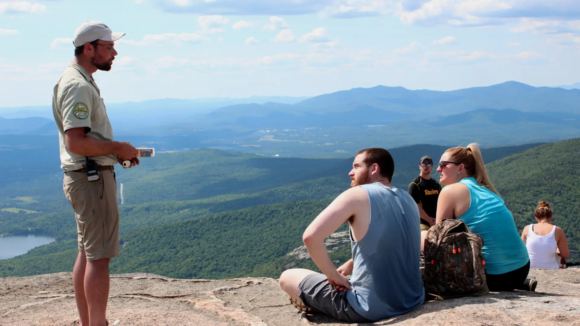
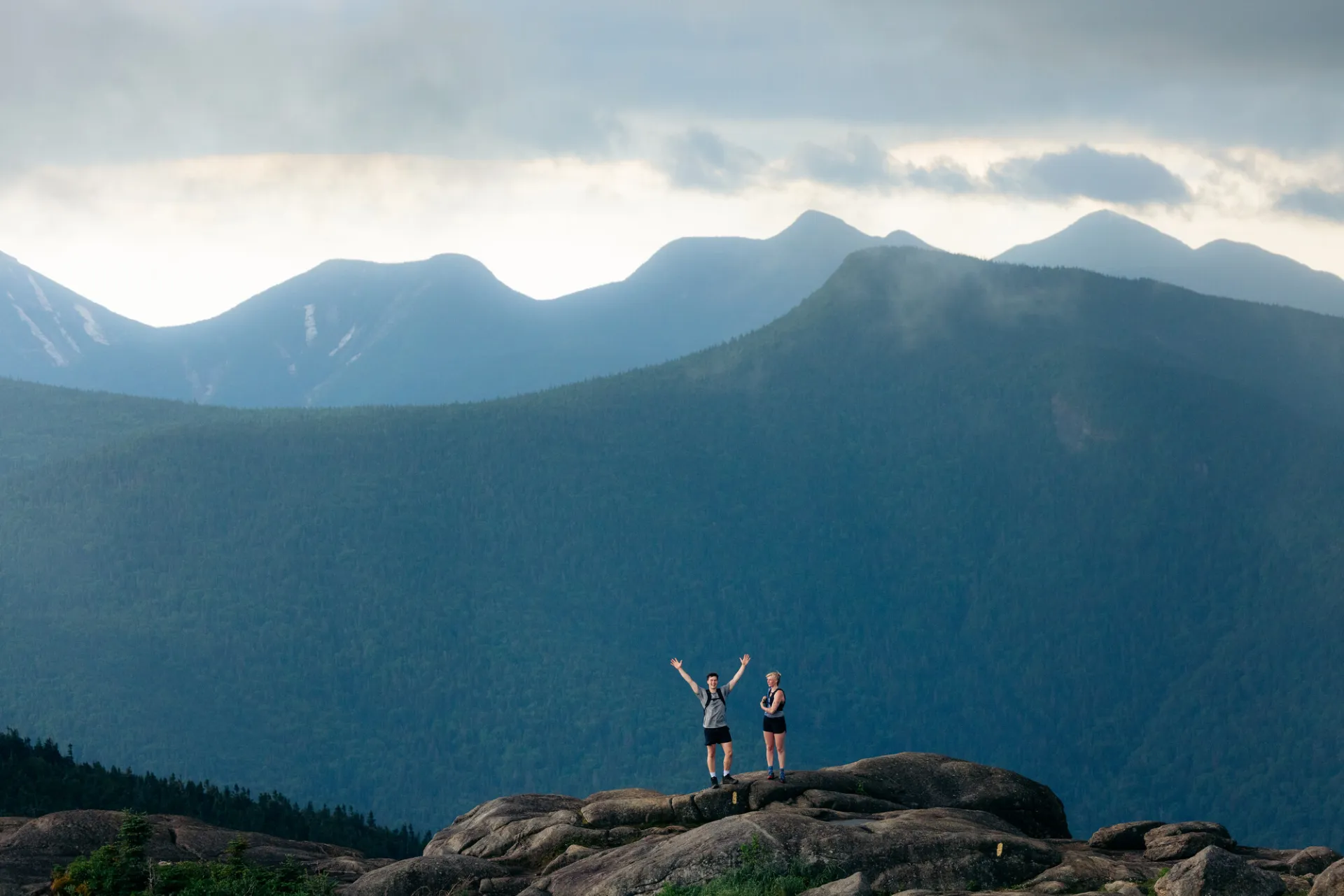
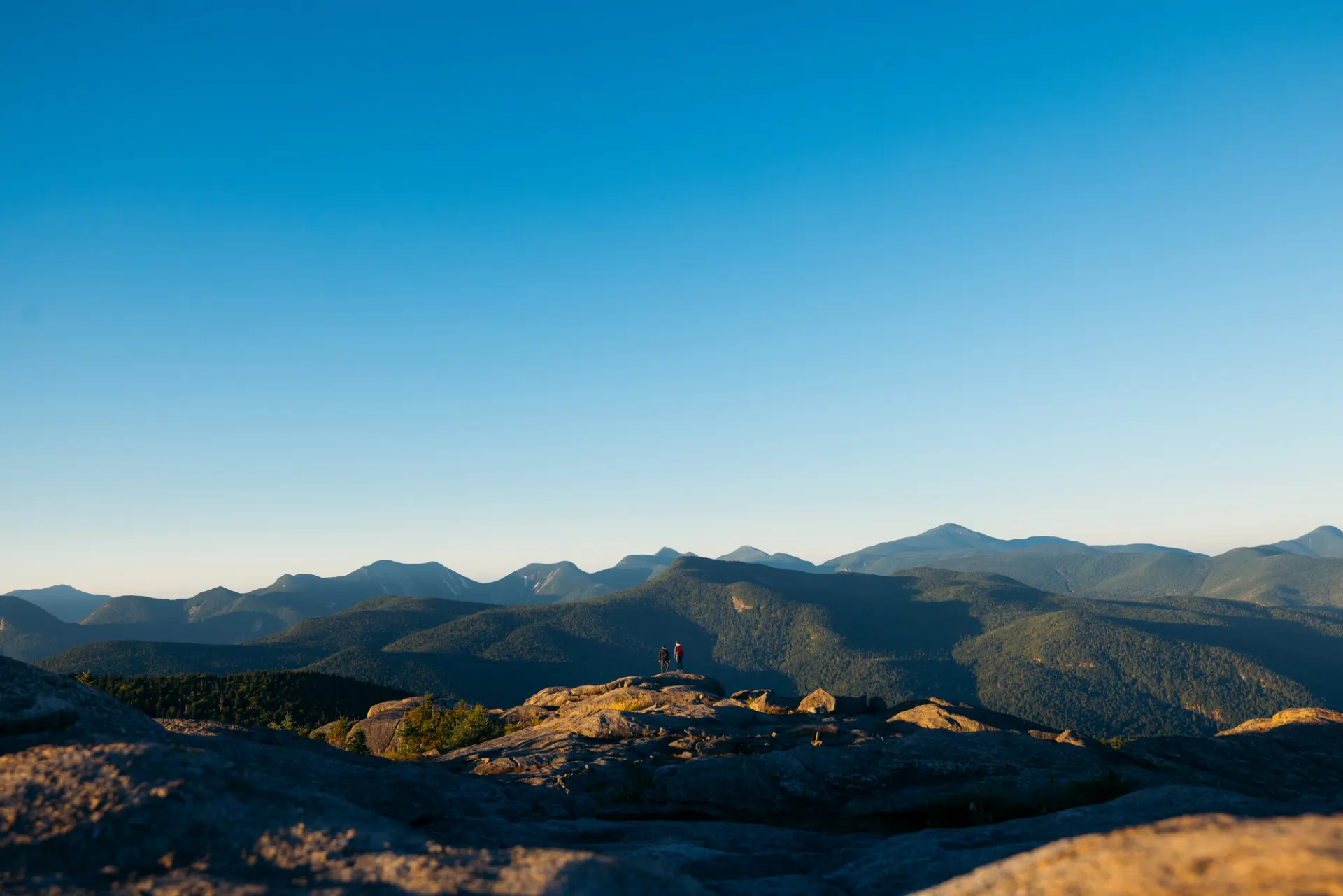
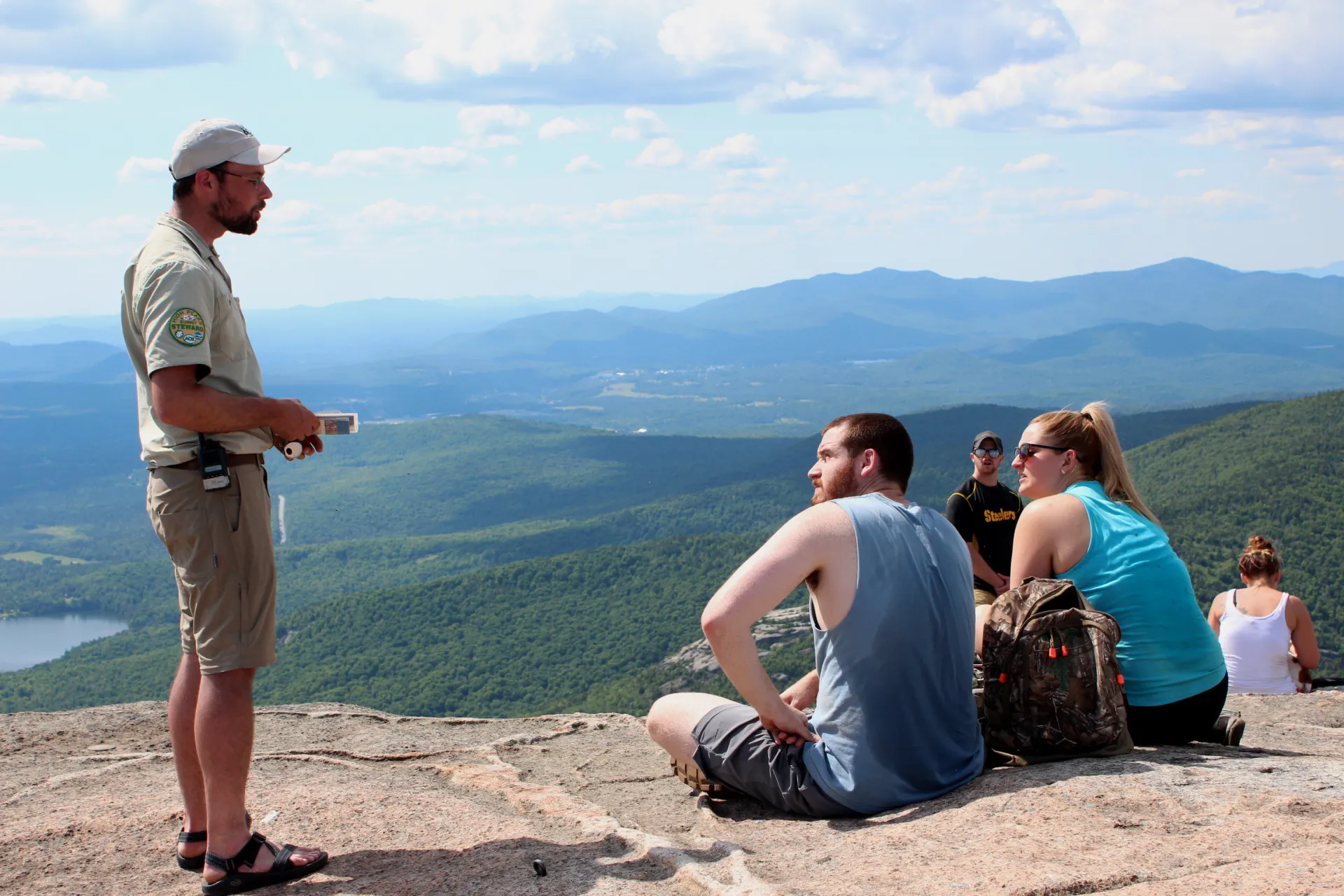
The open rock of Cascade's summit appears quickly after the junction. From this point, yellow blazes on the rocks and professionally-built cairns mark the route as it steeply gains the summit. Be sure to avoid stepping on the fragile vegetation as you make your way to the panoramic views on the summit.
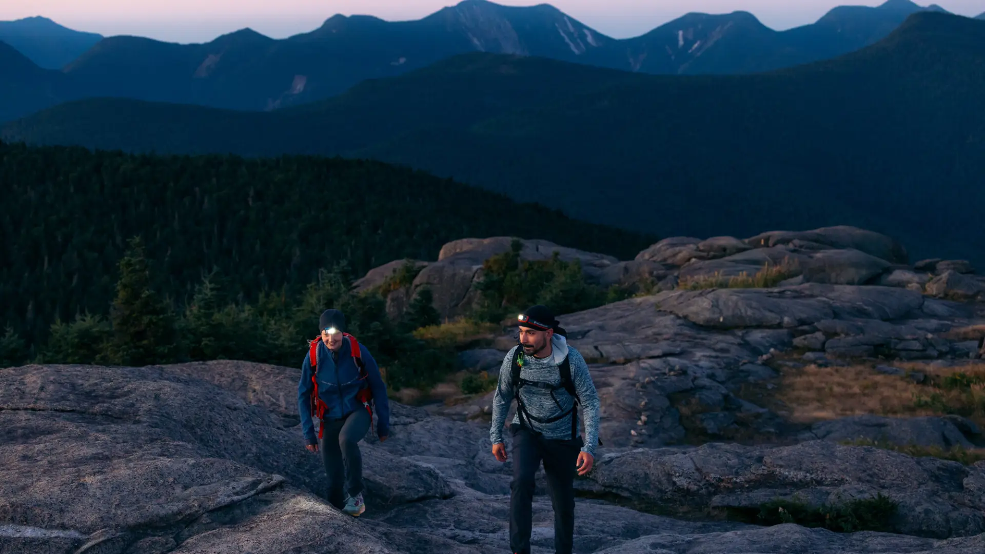
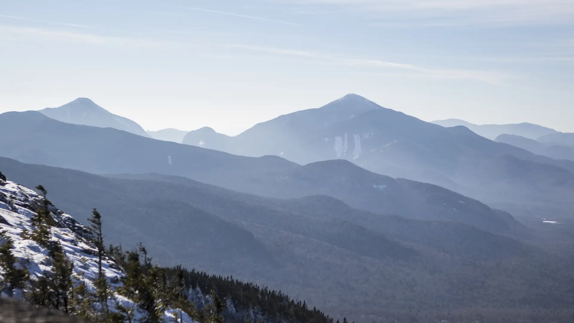
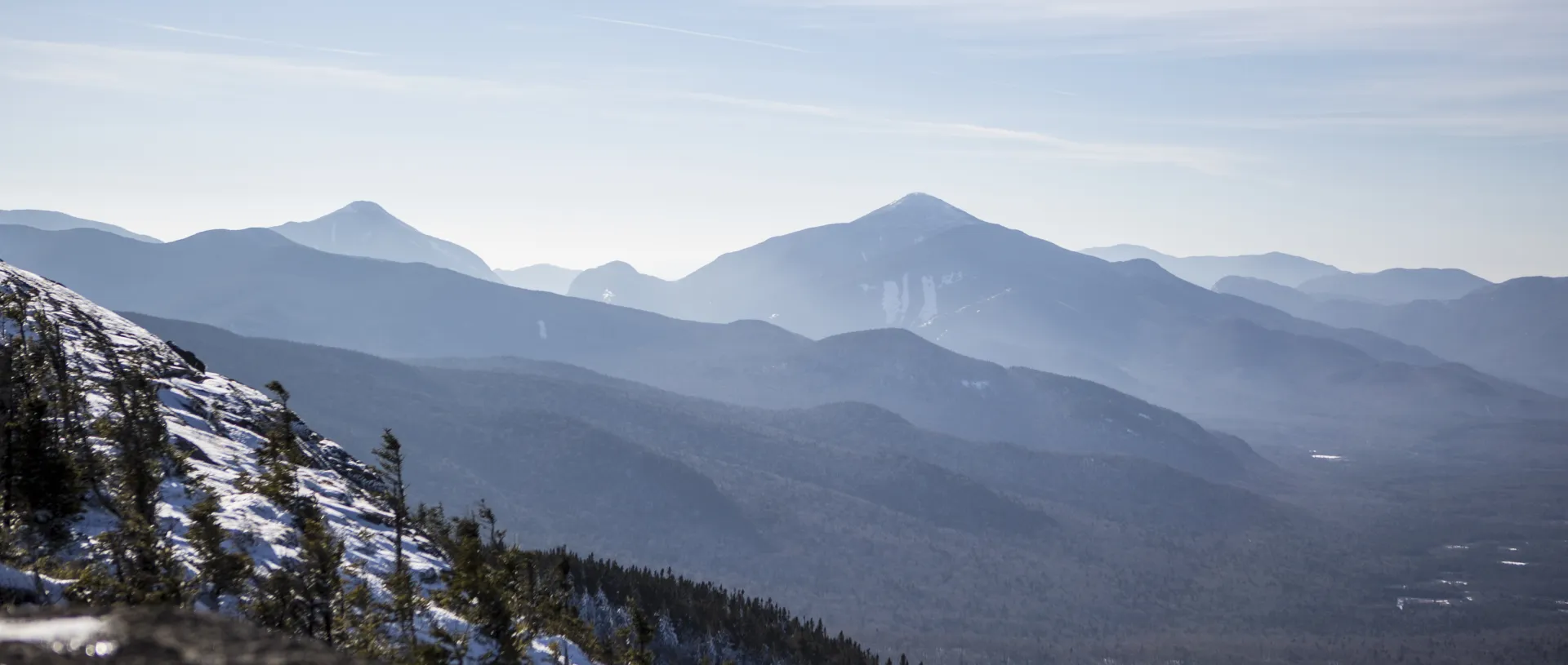
Cascade in winter
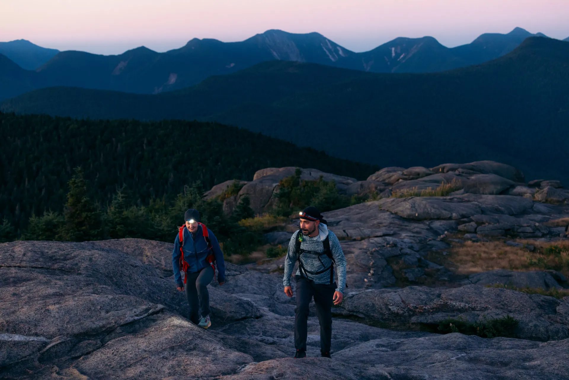
Cascade is a serious winter hike that should only be attempted by those with prior winter hiking experience. Snowshoes are required on the generally well-packed trail, and microspikes or trail crampons should be carried for some of the steeper icy sections, especially along the ridge and near the summit. Expect a significant drop in temperature as elevation is gained, and be prepared for strong winds on the open summit. Always bring extra layers, especially for higher elevations, and don't hesitate to turn around if the weather starts to turn.
Find your perfect trail near Lake Placid
Does Cascade sound enticing, but a little more than you want to tackle right now? No need to stress, with over 2000 miles of hiking trails in the Adirondacks we are sure we can find the perfect hike for you.
How to get there
From the intersection of Route 86 and 73 in Lake Placid, follow Route 73 east for 8.4 miles. The trailhead and parking area are on the right, just before Upper Cascade Lake. Note that this is a busy road and the main parking area is often full, especially on nice days, making parking in one of the overflow lots necessary. Take care when walking along the shoulder of the busy highway.
Emergency Information
Related Content

Ready to hike in the High Peaks? There is no set way for how to become a 46er, but there is a R.I.G.H.T. way.

Lake Placid, NY is home to short hikes, moderate hikes, and longer hikes, making us the perfect hiking destination for any hiker! Read these hiking safety and etiquette tips that will keep you safe and happy on the trails this summer!