Round Trip
4.4 miles
7.1 kilometers

Elevation
The height of the summit or destination, from sea level.
2053 feet
625.8 meters

Elevation Gain
The total amount of vertical ascent (uphill climbing) on a hike. This is cumulative gain, totalling the elevation change of the uphill segments from a round-trip hike.
1550 feet
472.4 meters

Route Type
A hiking trail may be classified as a Loop, Out and Back, Point to Point, Bushwhack, or Multi-day Thru Hike, with some destinations having more than one of these ways as a hiking option.
  • Out and Back
Round Trip
4.4 miles
7.1 kilometers

Route Type
A hiking trail may be classified as a Loop, Out and Back, Point to Point, Bushwhack, or Multi-day Thru Hike, with some destinations having more than one of these ways as a hiking option
  • Out and Back
Elevation
The height of the summit or destination, from sea level.
2053 feet
625.8 meters

Elevation Gain
The total amount of vertical ascent (uphill climbing) on a hike. This is cumulative gain, totalling the elevation change of the uphill segments from a round-trip hike.
1550 feet
472.4 meters

Round Trip
4.4 miles
7.1 kilometers

Route Type
A hiking trail may be classified as a Loop, Out and Back, Point to Point, Bushwhack, or Multi-day Thru Hike, with some destinations having more than one of these ways as a hiking option
  • Out and Back
Elevation
Lorem ipsum dolor sit amet consectetur. Phasellus cursus malesuada tincidunt placerat non maecenas. Viverra morbi aliquam neque id nibh lorem massa quam non.
2053 feet
625.8 meters

Elevation Gain
The total amount of vertical ascent (uphill climbing) on a hike. This is cumulative gain, totalling the elevation change of the uphill segments from a round-trip hike.
2053 feet
472.4 meters

Wonderful views on a hike most of the family can enjoy.
View all photos
trail highlights
trail features
trail category
Trail Junctions
Short

About

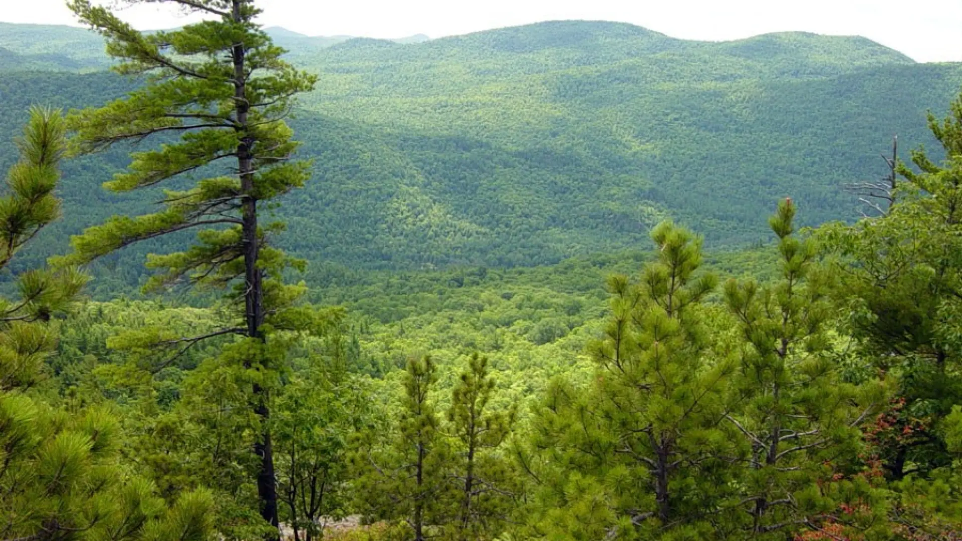
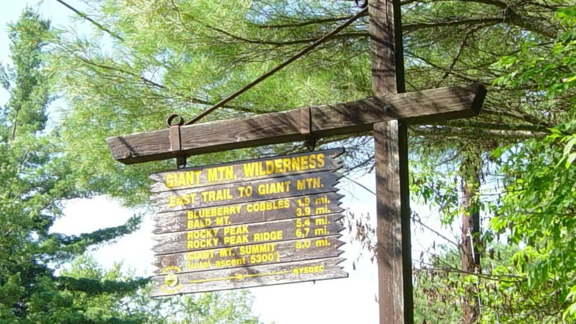
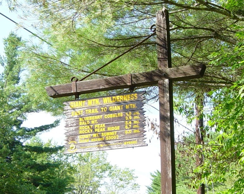
This aptly-named mountain is the first summit on the East Trail to Rocky Peak and Giant from Route 9.

Key takeaways

  • Distance: 4.4 miles round trip
  • Elevation: 2053 feet
  • Elevation gain: 1,550 feet
  • Hike includes trail junctions

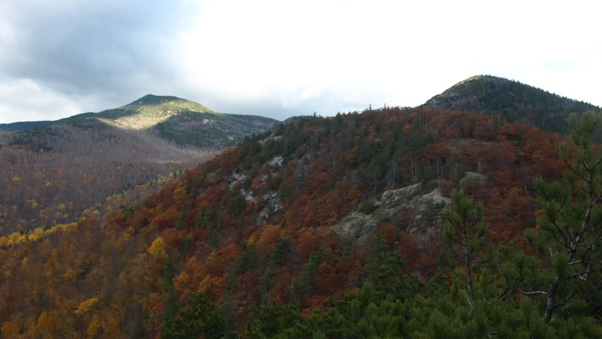
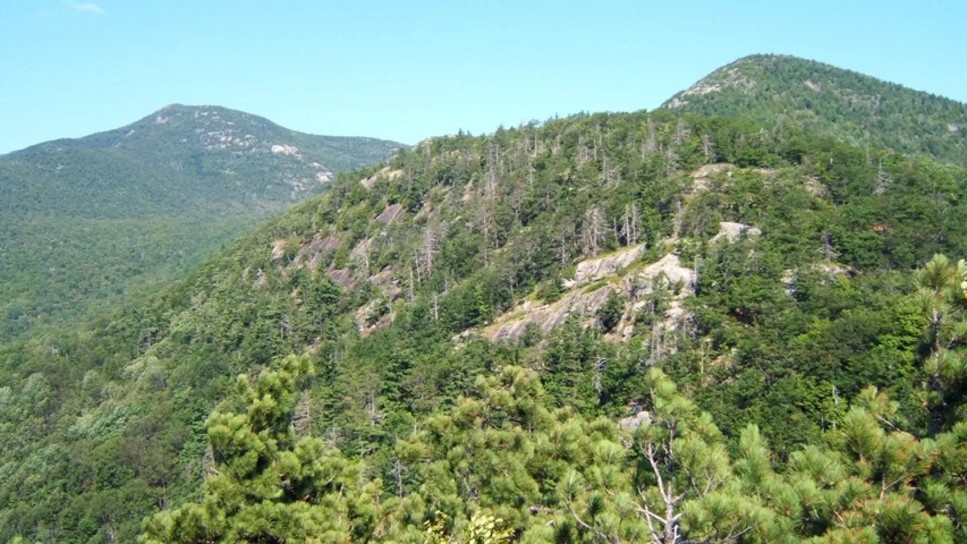
Hiking to Blueberry Cobbles

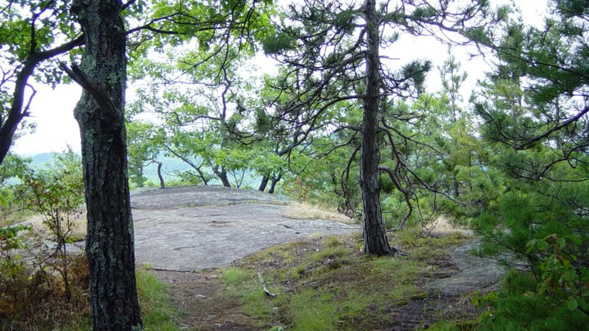
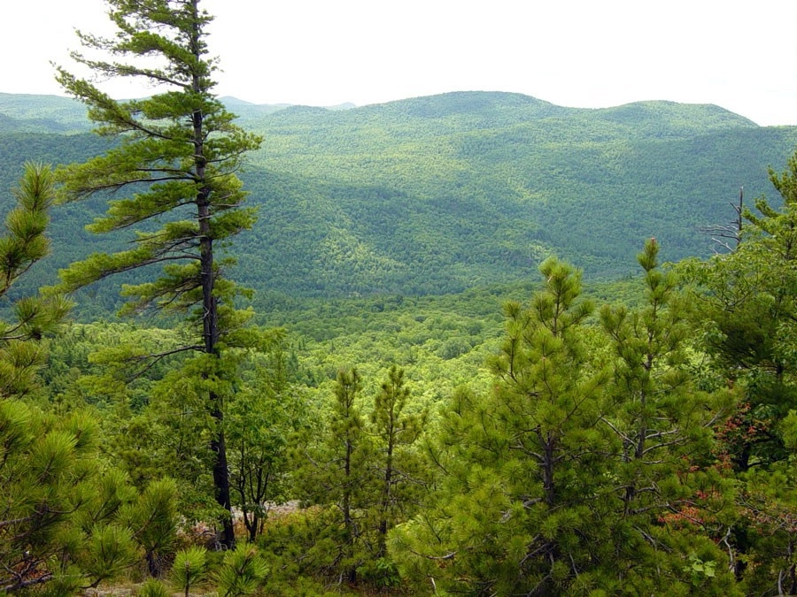
Berries in season? The best ones are beyond the first lookout (1.9 miles) on the summit ledges at 2.2 miles.

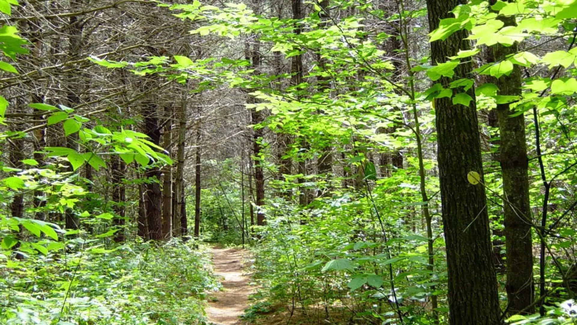
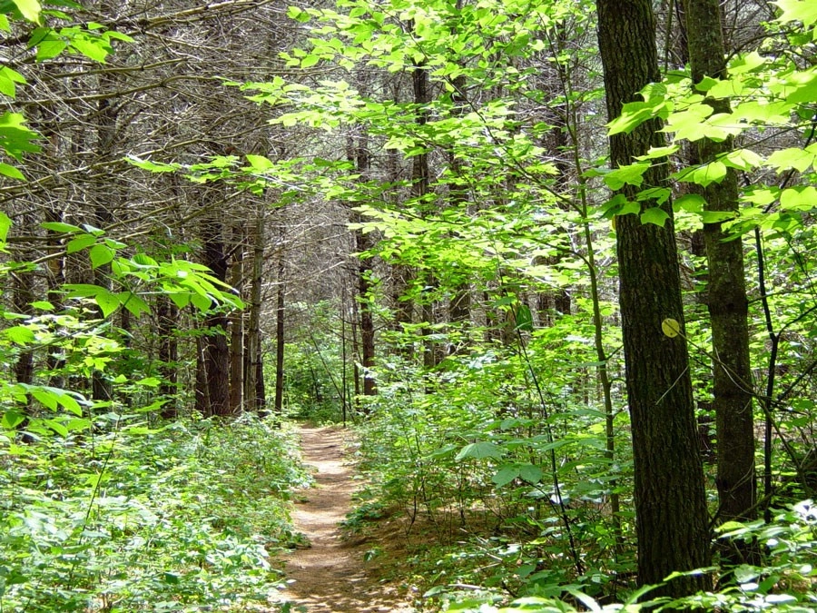
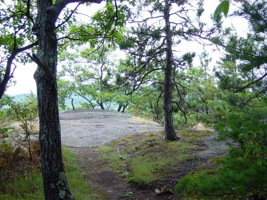
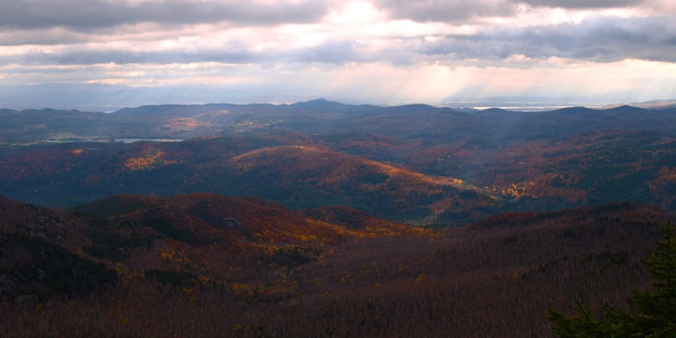
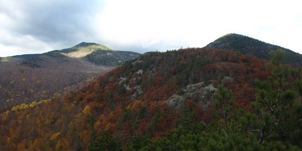
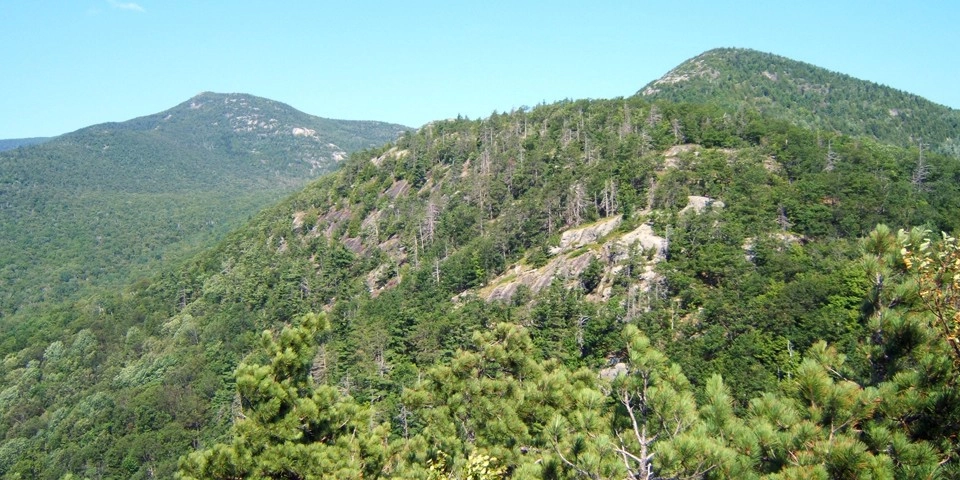
From the trailhead you won’t be on the level for very long before the trail starts a serious ascent. The trail sweeps around a couple unnamed little knobs before making a final push to the first viewing point at 1.6 miles. Just past here there is another view to the right at 1.8 miles and then an intersection with the Blueberry Cobbles Cut-off Trail on the right. Bear left and continue slightly uphill to blueberry heaven and some additional nice views. The trail continues over the top of Blueberry Cobbles and eventually to Rocky Peak Ridge.

Blueberry Cobbles in the winter

Blueberry Cobbles is a great choice for anyone who is new to snowshoeing in the mountains, although there could be some trailbreaking. As with any winter trail, snowshoes are a must for traction and to avoid postholing, and microspikes should be carried for some of the rocky sections that could have ice. Expect a drop in temperature as elevation is gained, and be prepared for cold winds on the open cobble. Always bring extra layers, especially for higher elevations, and don't hesitate to turn around if the weather starts to turn. This trail is not recommended for cross-country skiing. Being prepared is necessary for any winter hike.

Find your perfect trail 

Does Blueberry Cobbles sound amazing, but a little more than you want to tackle right now? No need to stress, with over 2000 miles of hiking trails in the Adirondacks we are sure we can find the perfect hike for you

How to get there

Head south on Route 9 from Elizabethtown. Continue for 5.6 miles to the trailhead on the left, beyond the village of New Russia.

Emergency Information
If you get lost or injured, remain calm and stay put. If you have cell service, call 911 or the DEC Forest Ranger Dispatch, 833-NYS-RANGERS (833-697-7264).
 
Plan ahead and hike smart. Bring a map, extra food, water, and warm clothing, and check the weather before you go. Stay aware of your surroundings and landmarks. If you get turned around, don’t panic—stop, think, and stay where you are. Let someone know your route and expected return time.
Additional Info
Blueberry Cobbles trail map