Round Trip
2.4 miles
3.9 kilometers

Elevation
The height of the summit or destination, from sea level.
2442 feet
744.3 meters

Elevation Gain
The total amount of vertical ascent (uphill climbing) on a hike. This is cumulative gain, totalling the elevation change of the uphill segments from a round-trip hike.
840 feet
256.0 meters

Route Type
A hiking trail may be classified as a Loop, Out and Back, Point to Point, Bushwhack, or Multi-day Thru Hike, with some destinations having more than one of these ways as a hiking option.
  • Out and Back
Round Trip
2.4 miles
3.9 kilometers

Route Type
A hiking trail may be classified as a Loop, Out and Back, Point to Point, Bushwhack, or Multi-day Thru Hike, with some destinations having more than one of these ways as a hiking option
  • Out and Back
Elevation
The height of the summit or destination, from sea level.
2442 feet
744.3 meters

Elevation Gain
The total amount of vertical ascent (uphill climbing) on a hike. This is cumulative gain, totalling the elevation change of the uphill segments from a round-trip hike.
840 feet
256.0 meters

Round Trip
2.4 miles
3.9 kilometers

Route Type
A hiking trail may be classified as a Loop, Out and Back, Point to Point, Bushwhack, or Multi-day Thru Hike, with some destinations having more than one of these ways as a hiking option
  • Out and Back
Elevation
Lorem ipsum dolor sit amet consectetur. Phasellus cursus malesuada tincidunt placerat non maecenas. Viverra morbi aliquam neque id nibh lorem massa quam non.
2442 feet
744.3 meters

Elevation Gain
The total amount of vertical ascent (uphill climbing) on a hike. This is cumulative gain, totalling the elevation change of the uphill segments from a round-trip hike.
2442 feet
256.0 meters

Explore the summit wildflowers and the expansive view.
View all photos
trail highlights
trail features
trail category
Trail Junctions
Short

About

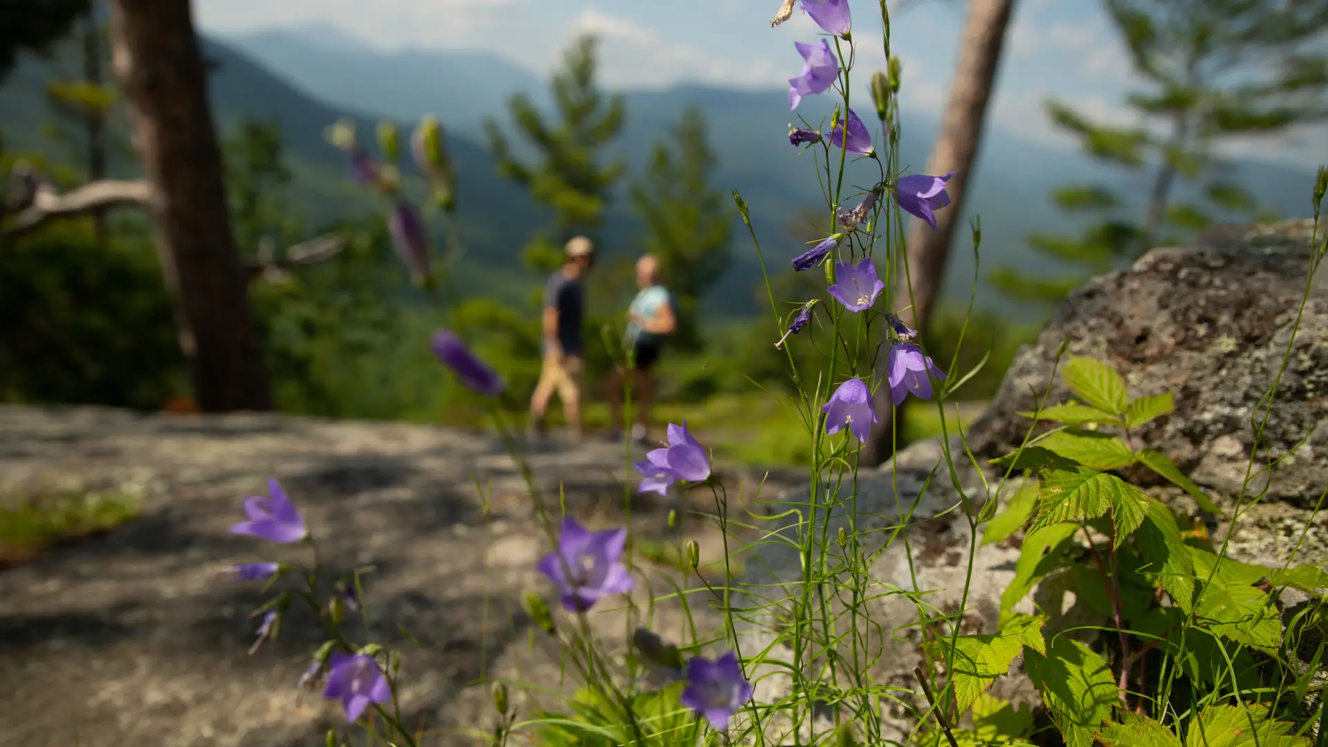
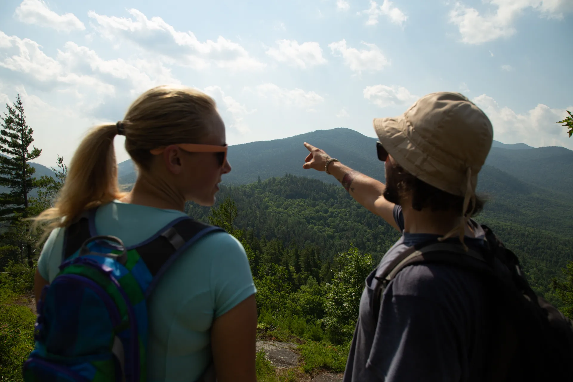
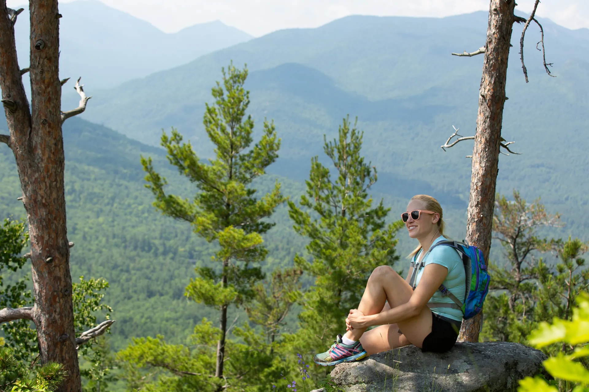
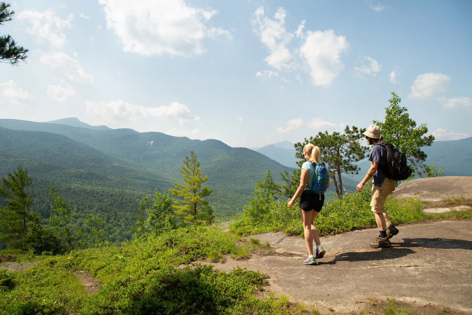
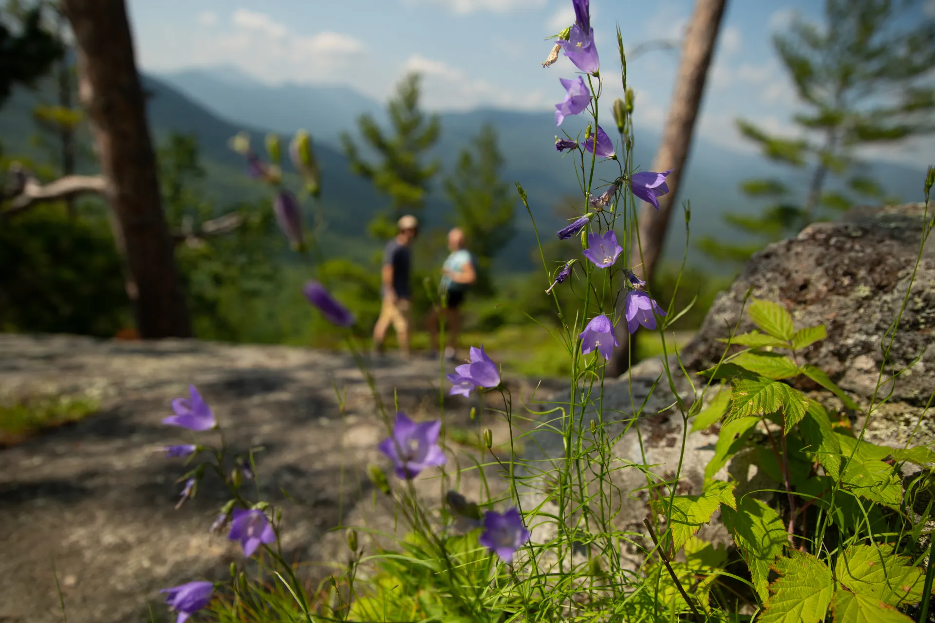
Baxter Mountain offers outstanding views and great blueberry picking in season, making it an excellent hike for the entire family. It is one of the Lake Placid 9er mountains. Remember to follow Leave No Trace principles on your hike up Baxter Mountain.

Key takeaways

  • Distance: 2.4 miles round trip
  • Elevation: 2,440 feet
  • Elevation gain: 840 feet

Hiking Baxter Mountain

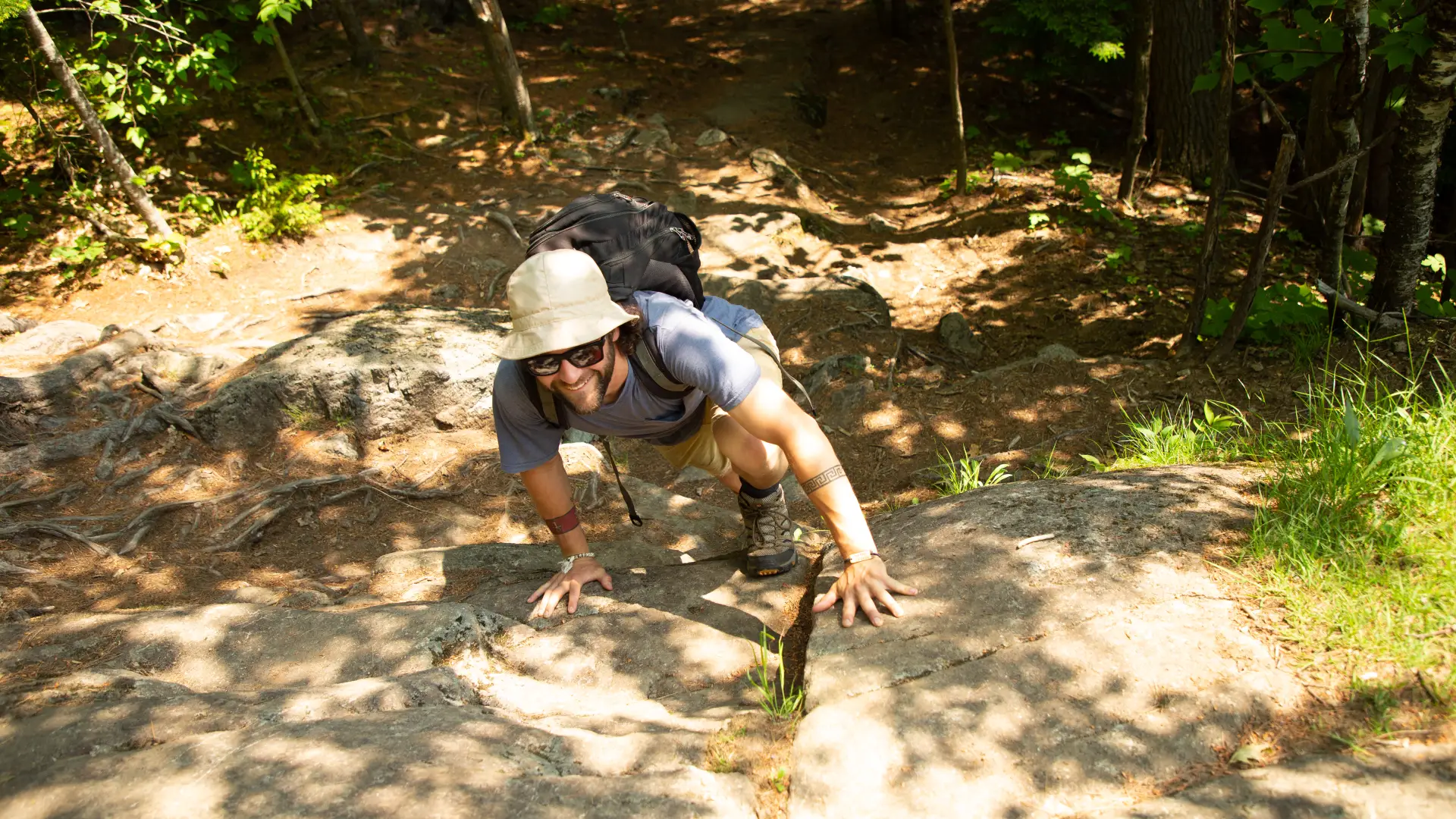
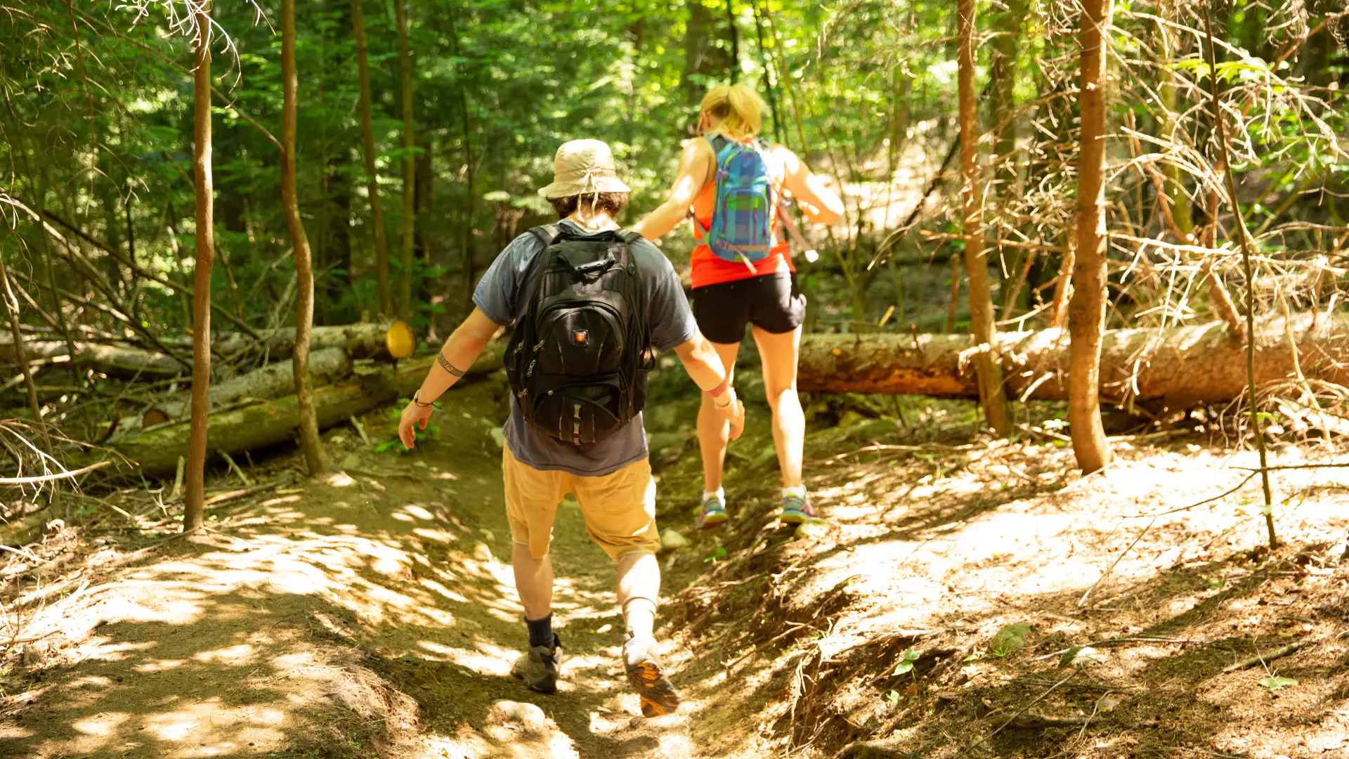
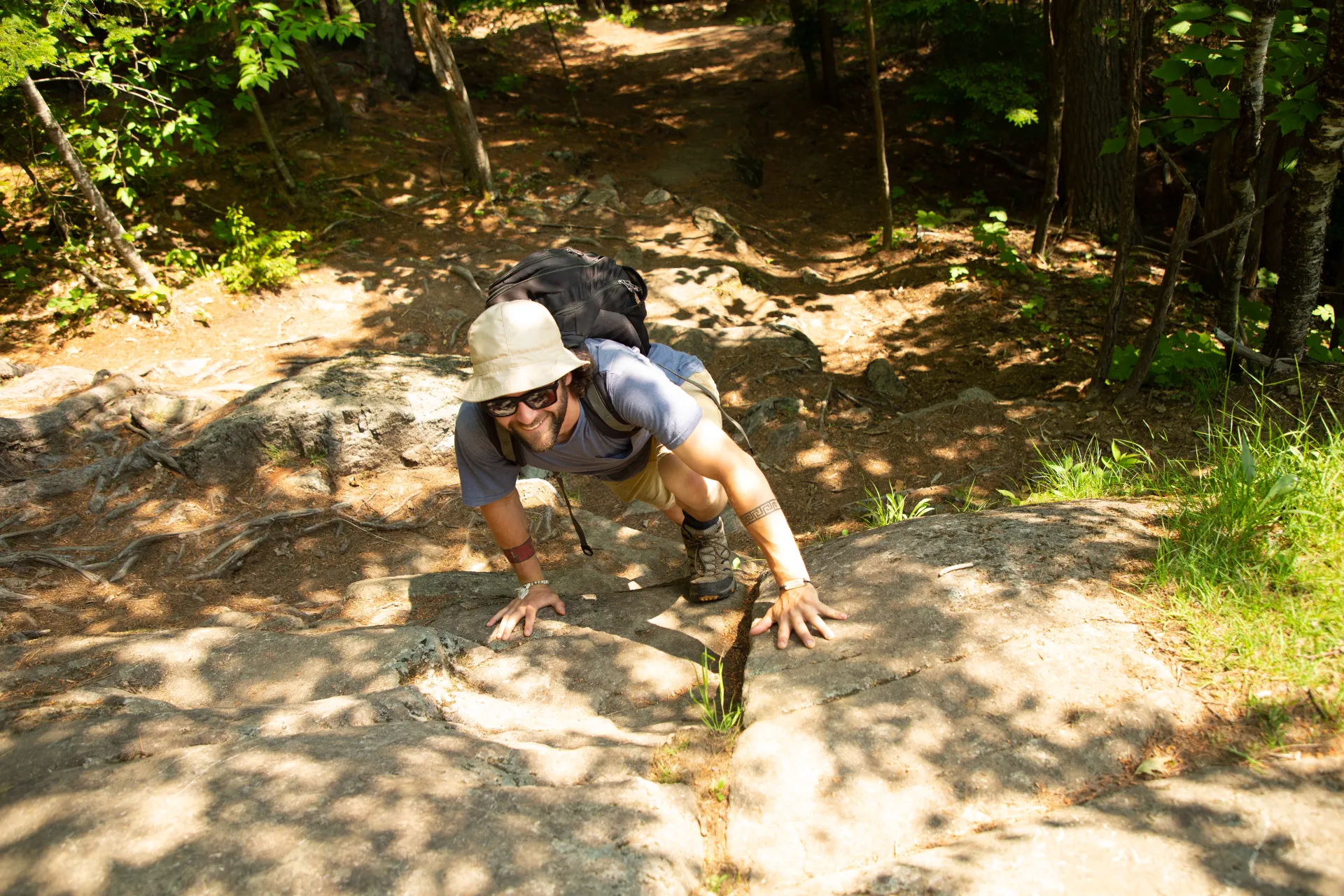
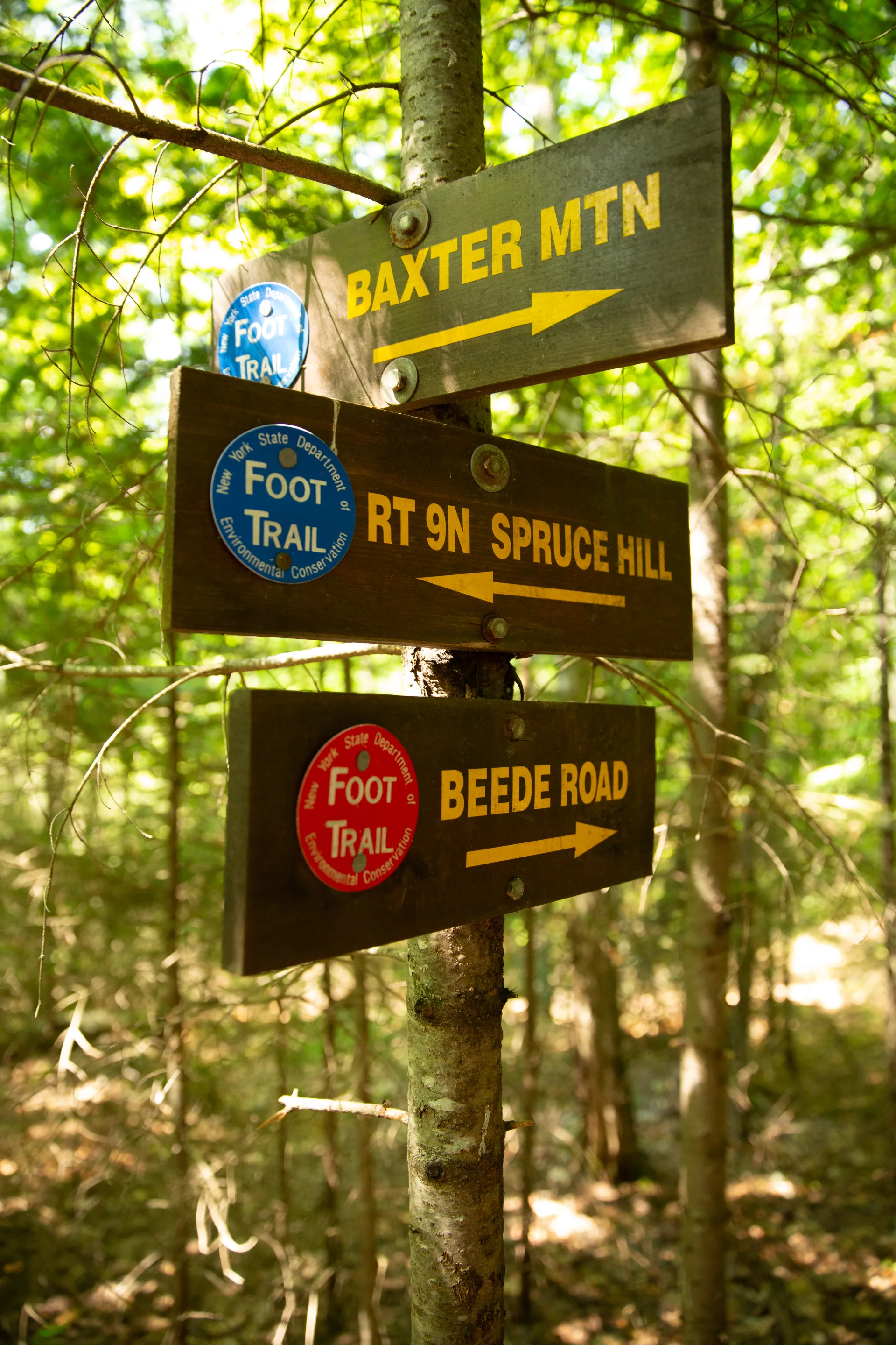
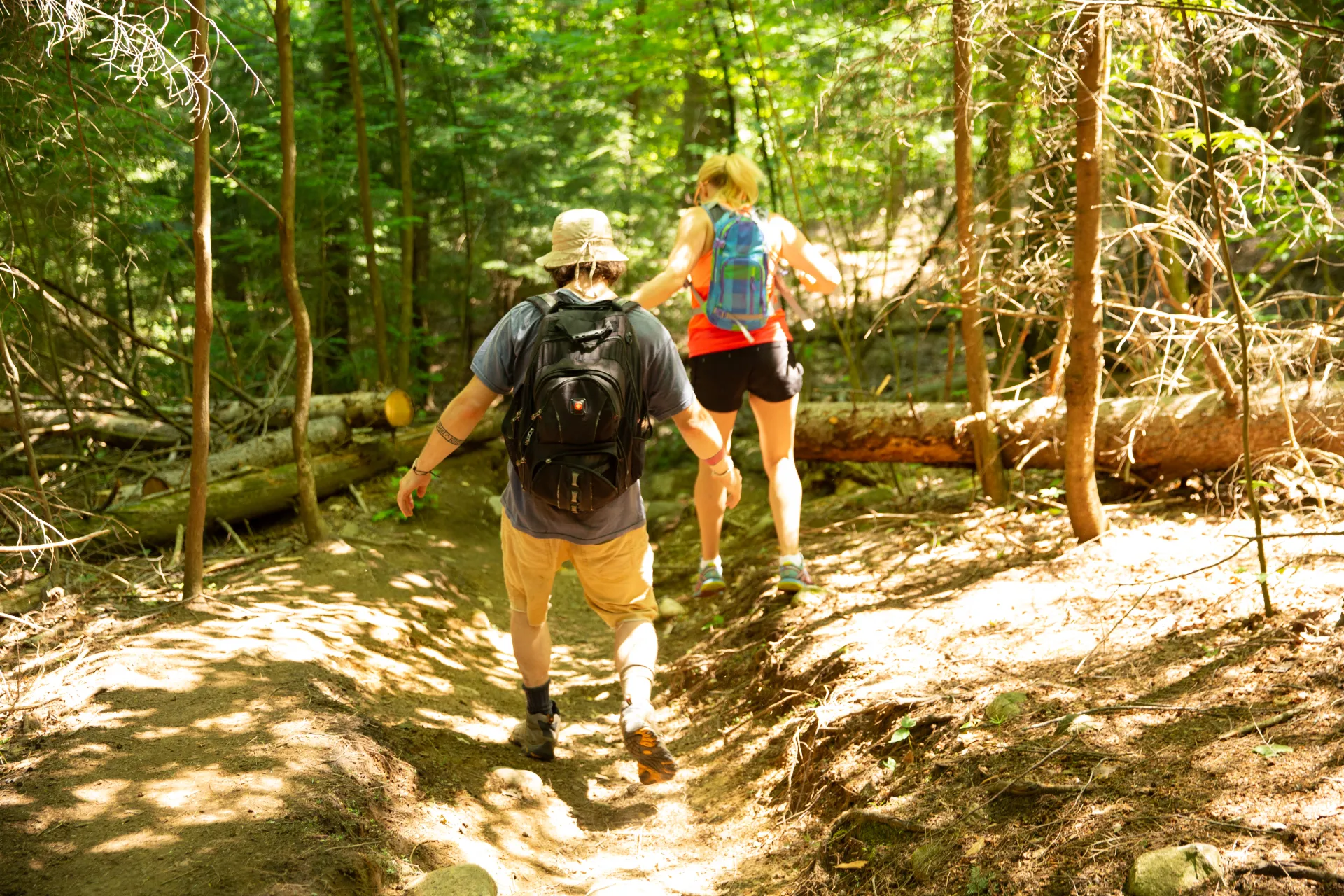
It's a mostly moderate, 1.2 mile hike to the summit. The path begins at a moderate grade as it passes under a power line, then there's a continuous but moderate climb over switchbacks for 0.8 miles, where the Beede Farm Trail comes in on the left. Go straight and work your way up a few steep steps to the first open rock. This first lookout is not the summit — that's a bit farther along the ridge. Past the summit, a lesser-used trail descends to Beede Road in Keene Valley.

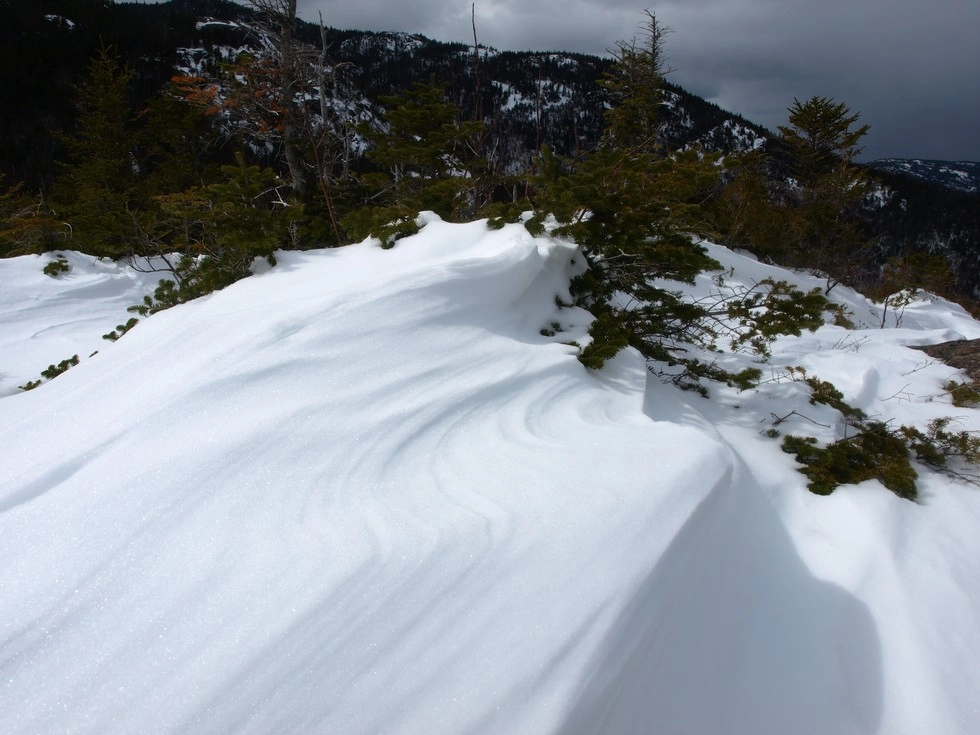
Baxter in the winter

Parking is roadside and should be clear in the winter. This is a great snowshoe option for beginners or for those looking to stretch their legs.

Find your perfect trail 

Does Baxter sound amazing, but a little more than you want to tackle right now? No need to stress, with over 2000 miles of hiking trails in the Adirondacks we are sure we can find the perfect hike for you

How to get there

Leave Lake Placid on Route 73 and head west, toward Keene. Continue through Keene and turn left on Route 9N toward Elizabethtown. Continue for about 2 miles to the top of the hill and park at the trailhead on the right — look for the DEC sign. If you come to Baxter Mountain Tavern you have gone a bit too far.

Emergency Information
If you get lost or injured, remain calm and stay put. If you have cell service, call 911 or the DEC Forest Ranger Dispatch, 833-NYS-RANGERS (833-697-7264).
 
Plan ahead and hike smart. Bring a map, extra food, water, and warm clothing, and check the weather before you go. Stay aware of your surroundings and landmarks. If you get turned around, don’t panic—stop, think, and stay where you are. Let someone know your route and expected return time.