Round Trip
6.7 miles
10.8 kilometers

Elevation
The height of the summit or destination, from sea level.
3060 feet
932.7 meters

Elevation Gain
The total amount of vertical ascent (uphill climbing) on a hike. This is cumulative gain, totalling the elevation change of the uphill segments from a round-trip hike.
2720 feet
829.1 meters

Route Type
A hiking trail may be classified as a Loop, Out and Back, Point to Point, Bushwhack, or Multi-day Thru Hike, with some destinations having more than one of these ways as a hiking option.
  • Out and Back
Round Trip
6.7 miles
10.8 kilometers

Route Type
A hiking trail may be classified as a Loop, Out and Back, Point to Point, Bushwhack, or Multi-day Thru Hike, with some destinations having more than one of these ways as a hiking option
  • Out and Back
Elevation
The height of the summit or destination, from sea level.
3060 feet
932.7 meters

Elevation Gain
The total amount of vertical ascent (uphill climbing) on a hike. This is cumulative gain, totalling the elevation change of the uphill segments from a round-trip hike.
2720 feet
829.1 meters

Round Trip
6.7 miles
10.8 kilometers

Route Type
A hiking trail may be classified as a Loop, Out and Back, Point to Point, Bushwhack, or Multi-day Thru Hike, with some destinations having more than one of these ways as a hiking option
  • Out and Back
Elevation
Lorem ipsum dolor sit amet consectetur. Phasellus cursus malesuada tincidunt placerat non maecenas. Viverra morbi aliquam neque id nibh lorem massa quam non.
3060 feet
932.7 meters

Elevation Gain
The total amount of vertical ascent (uphill climbing) on a hike. This is cumulative gain, totalling the elevation change of the uphill segments from a round-trip hike.
3060 feet
829.1 meters

View all photos
trail highlights
trail features
trail category
Trail Junctions
Exposed Summit
Half Day

About

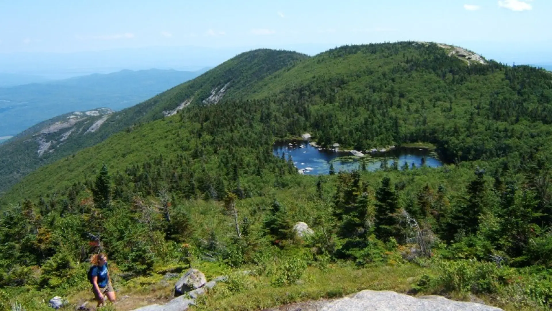
Bald Peak is commonly climbed when people hike to Rocky Peak Ridge via New Russia, but as a standalone hike is very worthwhile.

Key takeaways

  • Distance: 6.7 miles round trip
  • Elevation: 3060 feet
  • Elevation gain: 2,720 feet
  • Hike includes trail junctions and an exposed summit

Hiking Bald Peak

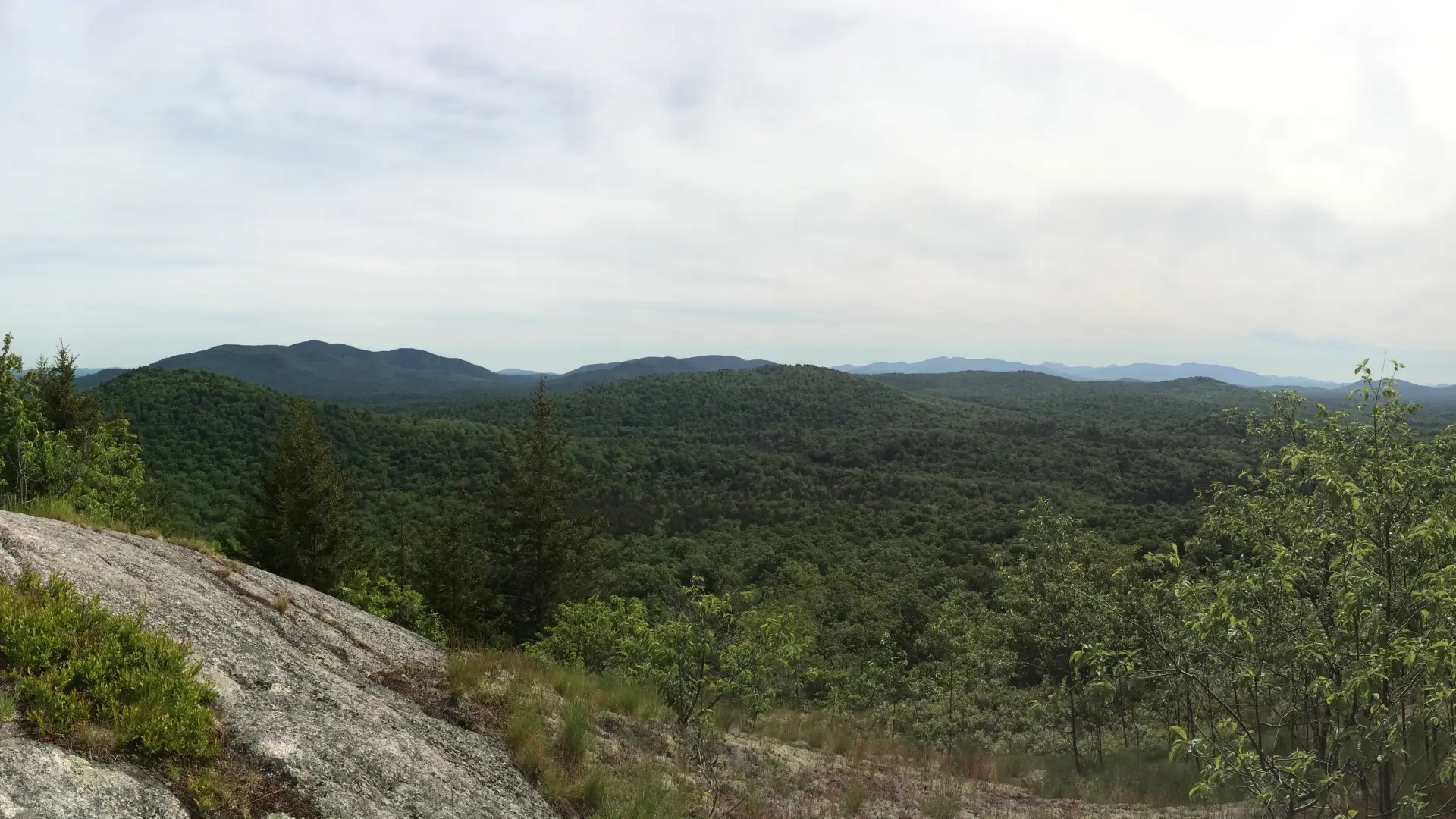
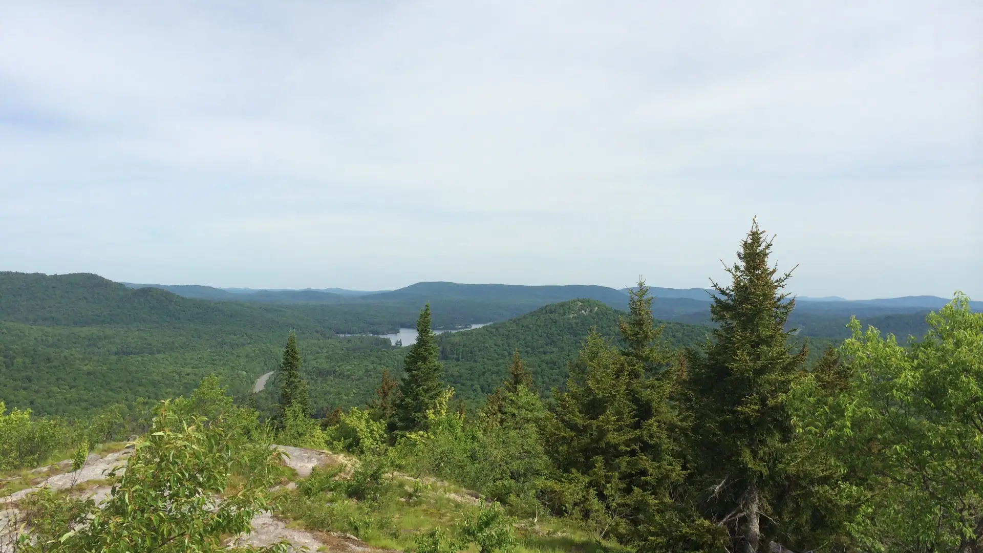
From the trailhead you will start climbing rather quickly and steadily to the first view on the left at 1.6 miles. A second view is on the right at 1.8 miles, and then after 2 miles you will have the option to either continue over aptly-named Blueberry Cobbles or take a short-cut to the right.

After the two trails rejoin, you start a climb over Mason Mountain, with nice views on a various ledges. After a short descent, you begin a steady, steep climb over many more ledges to the summit of Bald Peak. The trail continues to the summit of Rocky Peak Ridge.

Find more legendary trails in the Lake Champlain Region

Does Bald Peak sound amazing, but a little more than you want to tackle right now? With the Lake Champlain Region’s extensive trail network, we can easily help you find a hike that fits!

How to get there

Leave Lake Placid on Route 73, follow Route 73 toward Keene. Drive through Keene, Keene Valley and Saint Huberts. Take a left onto Route 9 toward Elizabethtown. Continue for 5 miles to the trailhead on the left.

Emergency Information
If you get lost or injured, remain calm and stay put. If you have cell service, call 911 or the DEC Forest Ranger Dispatch, 833-NYS-RANGERS (833-697-7264).
 
Plan ahead and hike smart. Bring a map, extra food, water, and warm clothing, and check the weather before you go. Stay aware of your surroundings and landmarks. If you get turned around, don’t panic—stop, think, and stay where you are. Let someone know your route and expected return time.