
- Point to Point
- Point to Point
- Point to Point


About
Hiking New York's 20th tallest mountain
Rocky Peak Ridge (RPR) is a steep, strenuous hike that requires significant preparation. A successful hike of RPR involves research, physical fitness, the right gear, and knowledge of Leave No Trace principles.
Key takeaways
- Elevation: 4,420 feet
- Elevation gain: 5,160 feet
- Distance: 9.3 miles round trip
- Hike includes steep rock slabs and trail junctions
- Based on a point to point hike via the East Trail from New Russia, and hiking down to the Roaring Brook Falls trailhead
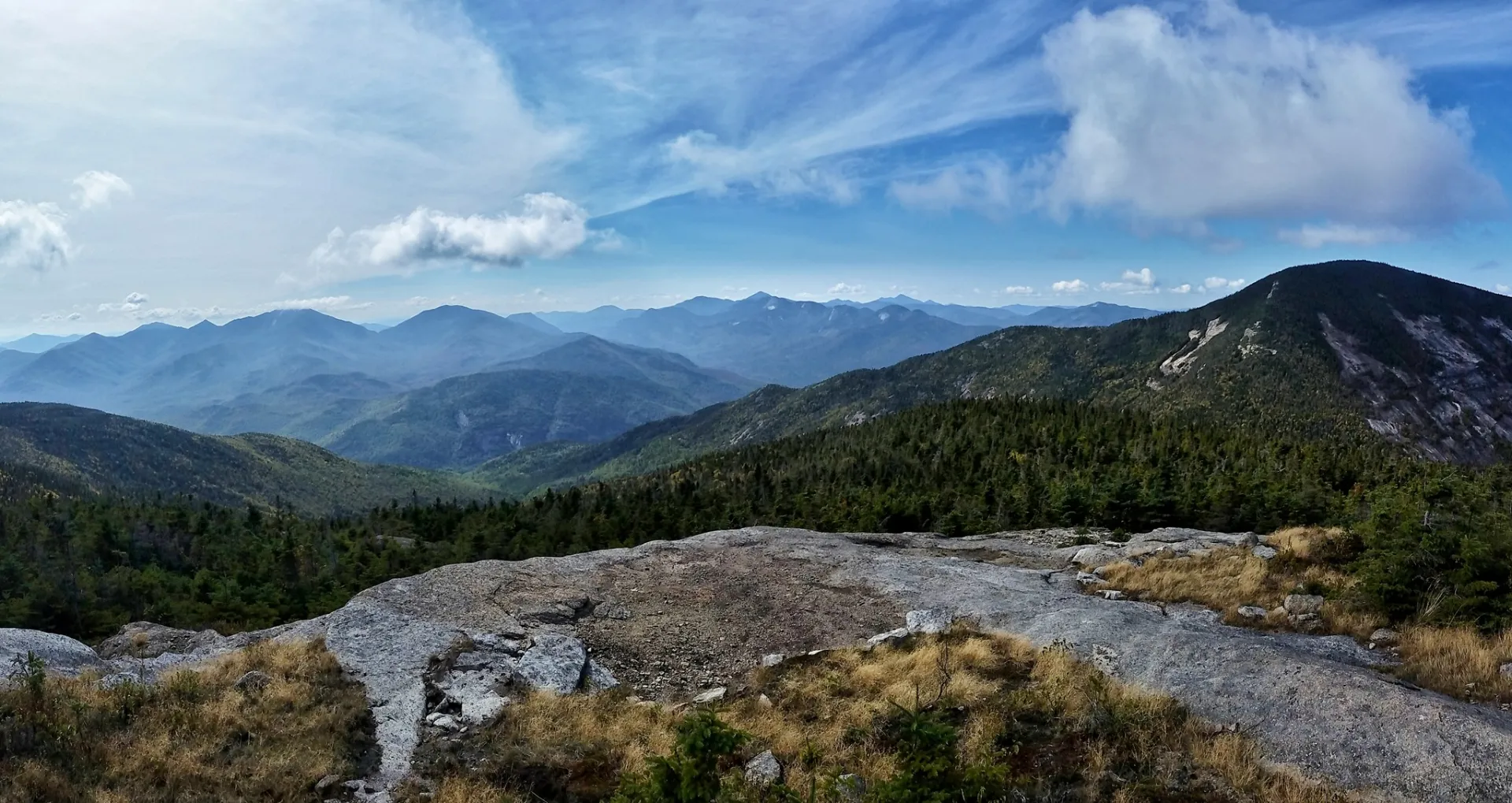
Hiking Rocky Peak Ridge
Many people hike RPR in combination with Giant Mountain. The route described below is based on the East Trail via New Russia, which is not the route that ascends Giant Mountain first.
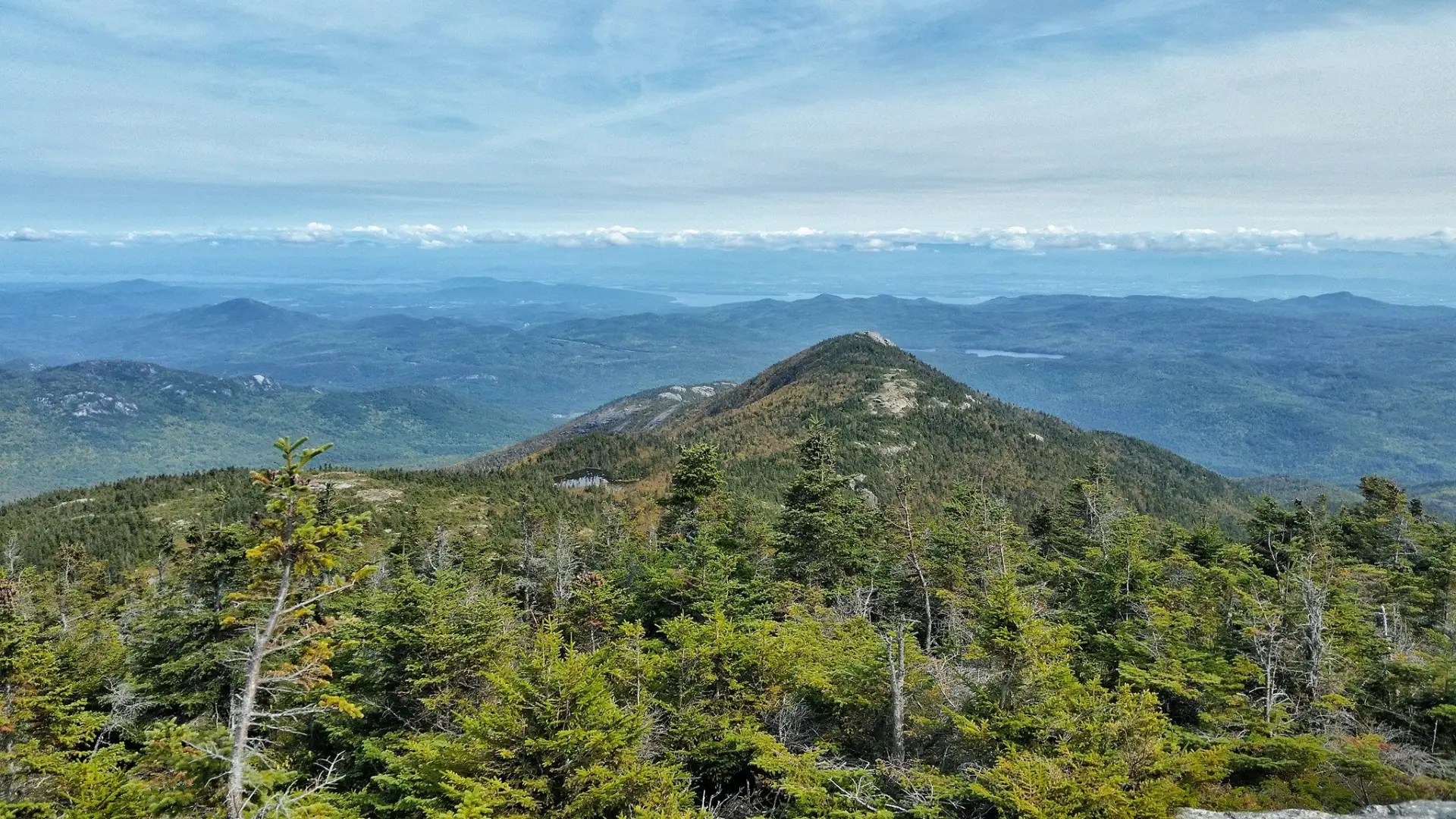
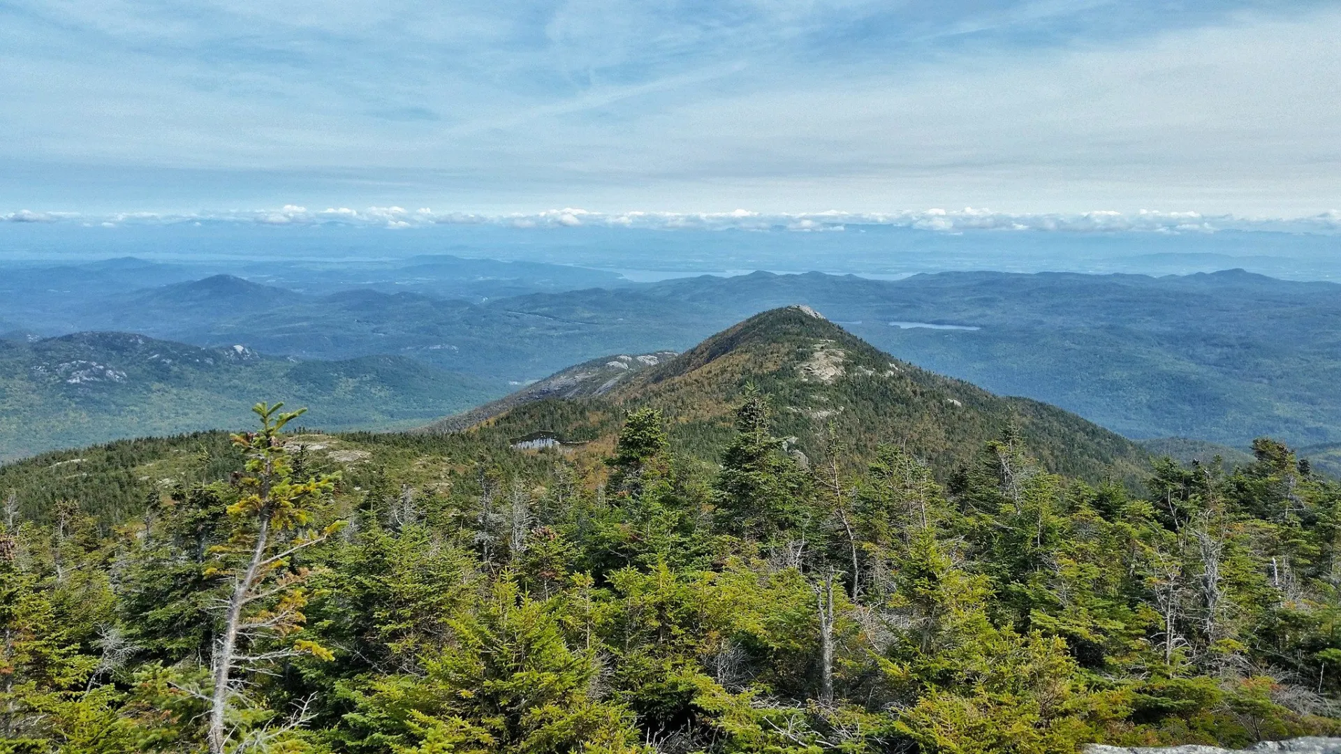
The East Trail is a scenic and demanding hike that follows a long, mostly exposed ridge as it goes over several lower peaks on its way to the summit of RPR. Along the way this trail gains, loses, then regains a lot of ground, adding up to 4,700 feet of total elevation gain.
The trail leaves the parking area and works its way up, following a stream at one point, to a lookout at 1.6 miles followed by a brief climb to the summit of Blueberry Cobbles at 1.9 miles. There is a trail junction shortly after the summit, with the left route passing more views and right descending more directly into Mason Notch, where the two paths converge. Leaving the notch, the path climbs over the wooded summit of Mason Mountain at 2.8 miles, descends into another notch, then climbs steeply to the summit of Bald Peak at 3.9 miles.
Leaving the summit, the trail descends into Dickerson Notch, then it begins a long climb along the ridge to the top of the 4,060-foot Rocky Peak at 5.4 miles. After a few minor bumps the path descends to the outlet of Mary Louise Pond at 6.1 miles. There is a primitive tent site near the outlet to Mary Louise Pond, which is just below the summit of Rocky Peak Ridge. Leaving the pond, the trail climbs through open meadows to the summit of Rocky Peak Ridge at 6.7 miles. You have options from here, but many do the point to point hike down to the Roaring Brook Falls trailhead.
Rocky Peak Ridge in the winter
RPR is a challenging mountain that should only be attempted by experienced hikers, especially in winter, so make sure you are prepared. Snowshoes are necessary, and snow spikes or crampons are needed to climb the exposed sections of the trail. Plan on temperatures in the higher elevations being at least 20 degrees colder than at the trailhead, not including the windchill. Bring several extra non-cotton layers, a headlamp with spare batteries, extra food, a windbreaker, goggles, a face mask, and supplies for spending the night in case of an emergency. You will be on exposed sections of trail for nearly the entire hike, bringing extra wind protection is advised.
Find your perfect trail
Does Rocky Peak Ridge sound amazing, but a little more than you want to tackle right now? No need to stress, with over 2000 miles of hiking trails in the Adirondacks we are sure we can find the perfect hike for you.
How to get there
There is a parking area on Route 9, about 5.5 miles south of Elizabethtown on the right.
Emergency Information
Related Content

Ready to hike in the High Peaks? There is no set way for how to become a 46er, but there is a R.I.G.H.T. way.