- Loop
- Loop
- Loop


About
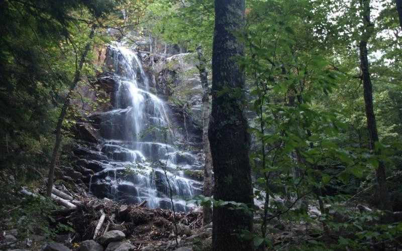
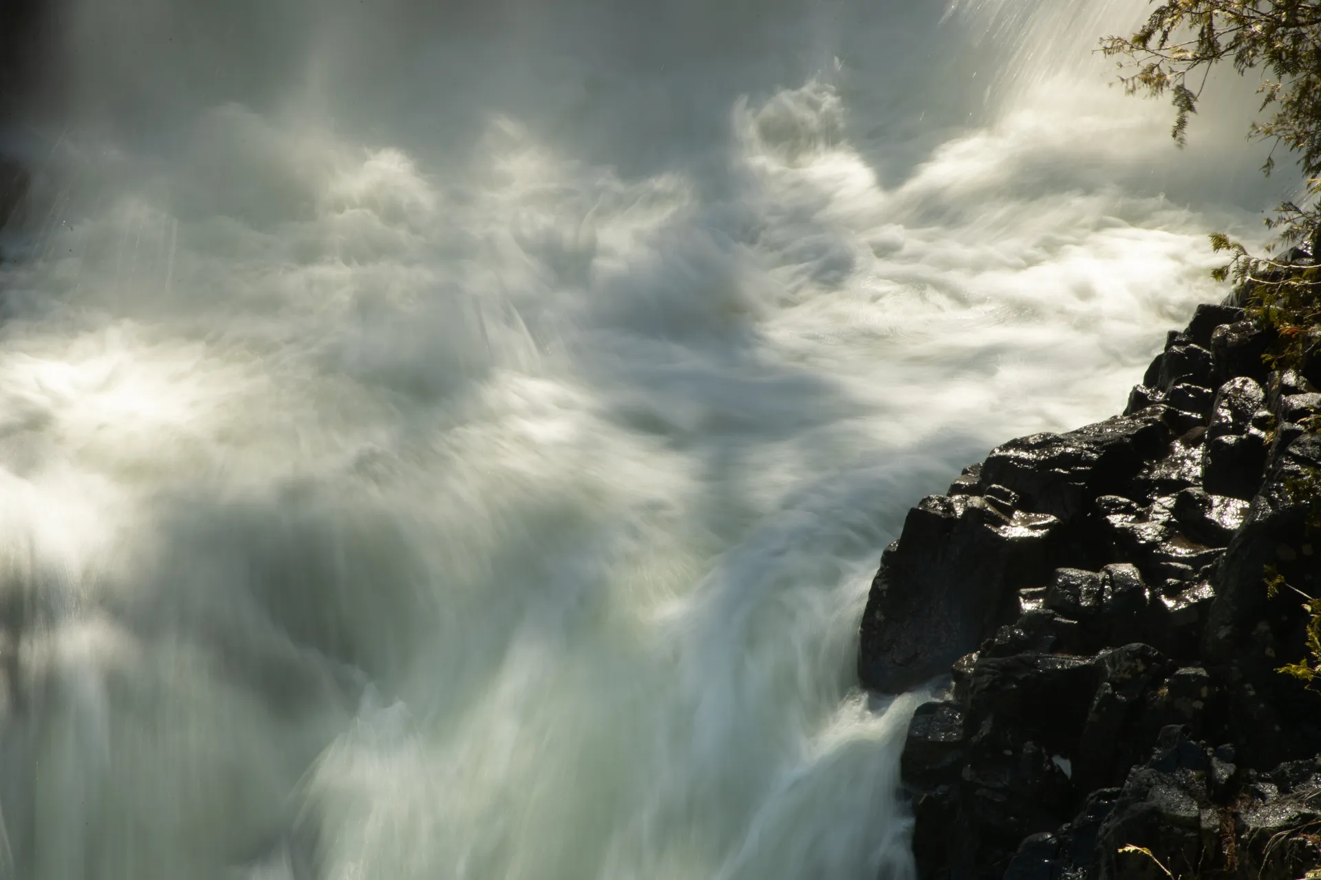
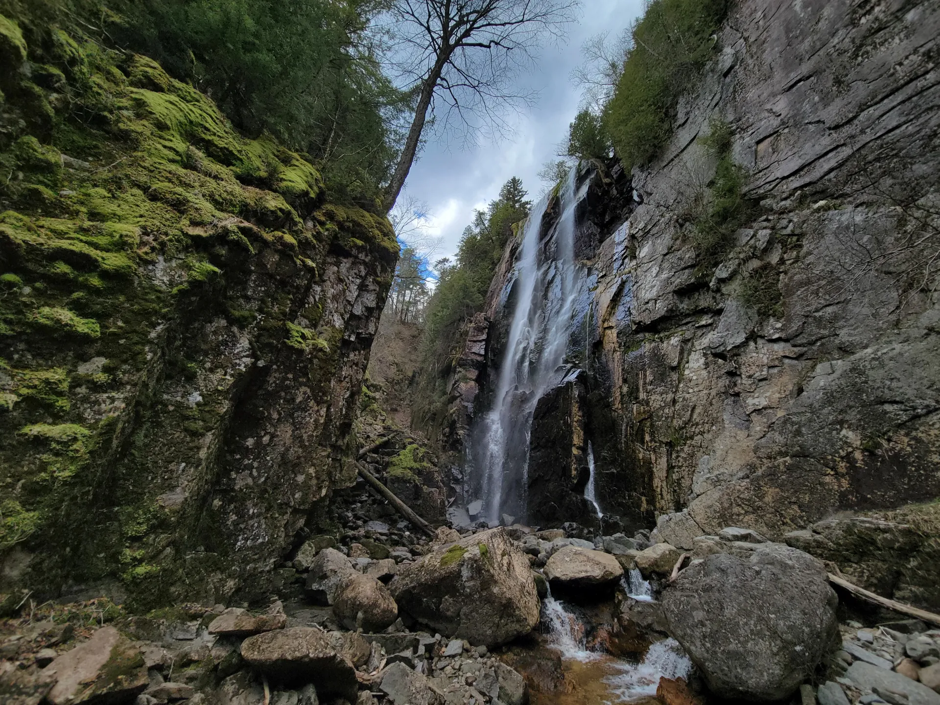
This is a loop of three waterfalls accessed via the Adirondack Mountain Reserve (AMR). The three waterfalls are Beaver Meadow Falls, Wedge Brook Falls, and Rainbow Falls. This hike comprises many different trails, and care should be taken to bring a map and do your research beforehand.
SPECIAL INFORMATION
This hike is accessed through a conservation easement with the Adirondack Mountain Reserve (AMR). A parking reservation is needed from May 1 - October 31. Although it is called a “parking reservation,” everyone will need a reservation to access hikes leaving from AMR, whether you drove yourself, rode a bike, got dropped-off, or walked. These reservations can be made online via the AMR website. For more information, please read these FAQs or contact the New York State Department of Environmental Conservation.
Key takeaways
- Distance: 8.75 miles round trip
- Elevation gain: 1,125 feet
- Hike includes trail junctions, ladders, and a road walk
Hiking the AMR waterfall loop
There is no set of trails marked as the "Great Falls Loop", so you have to follow the directions closely. This entire hike is on the private property of the Adirondack Mountain Reserve (AMR) where dogs are absolutely prohibited in this game preserve.
The trail begins by passing the golf course at the Ausable Club, before turning left down to the Gate House. Go through the gate and continue on the road for just under a mile to a right turn that goes over Gill Brook. Continue straight at the intersection with the East River trail, and then cross the East Branch Ausable River on a bridge. After this, take a left on to the West River trail. At 2.8 miles you'll cross Wedge Brook, and then continue straight (not up the Wedge Brook trail towards the Wolfjaws). At roughly 3.5 miles you'll encounter Beaver Meadow Falls, then continue on the West River trail. After seeing the dam and bridge on your left, continue straight and follow signs for Rainbow Falls. You can return a variety of ways, but the mileage provided above describes a hike out via Lake Road.
Find your perfect trail near Keene Valley
Does this waterfall loop sound amazing, but a little more than you want to tackle right now? No need to stress, with over 2000 miles of hiking trails in the Adirondacks we are sure we can find the perfect hike for you.
How to get there
This is part of the St Huberts parking area/trailhead. The parking area is 7.5 miles west on Route 73 from exit 30 on I-87 or 3 miles south of Keene Valley at the southern end of Ausable Road.
Other Features
Fish Species
 Brook Trout


