- Out and Back
- Out and Back
- Out and Back


*TRAIL CLOSURE: Access to Avalanche Lake from the Adirondack Loj/South Meadows trailheads has been closed due to sizable mudslides from Mount Colden. Do not plan a loop hike of Algonquin, Wright, and Iroquois through Avalanche Pass at this time. Keep up to date on the latest information here.
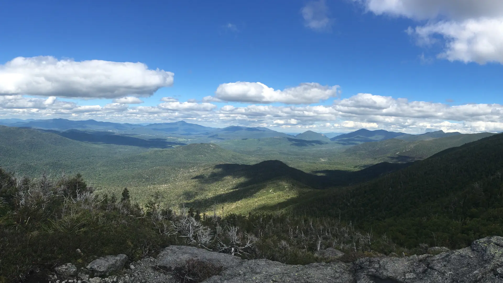
Hiking New York's 16th highest peak
Wright Peak is the 16th tallest of the Adirondack High Peaks. It is a steep, serious hike that requires significant preparation. A successful hike of Wright involves research, physical fitness, the right gear, and knowledge of Leave No Trace principles. This mountain has a side trail that leads to an A B-47 bomber that crashed here in 1962, and most of the wreckage remains. Wright Peak can also be combined with Algonquin Peak and Iroquois Peak for a long day.
Key takeaways
- Distance: 7 miles round trip, to Wright Peak only
- Elevation: 4,580 feet
- Elevation gain: 2,600 feet
- Hike includes trail junctions and steep rock slab
Hiking Wright Peak
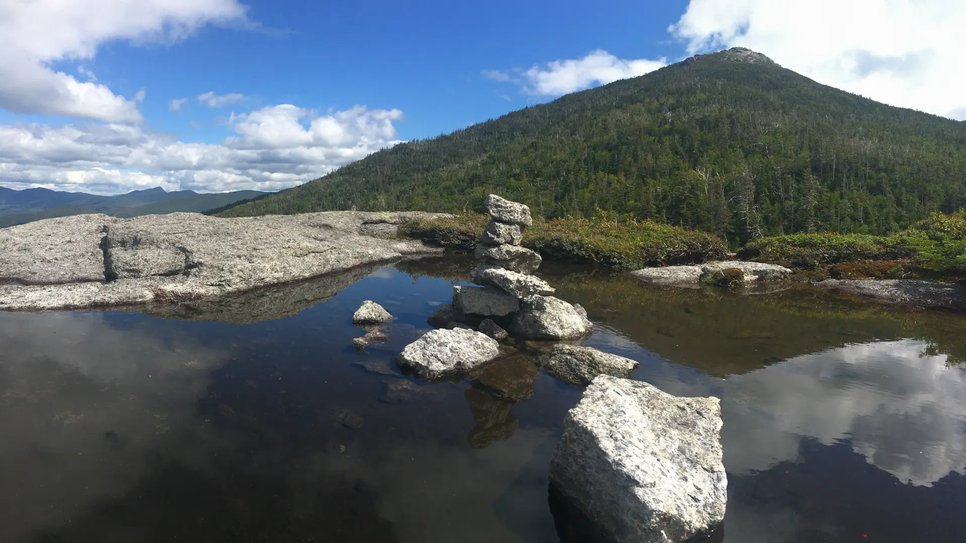
The route follows the Marcy Dam Trail for 0.9 miles before heading straight at a four-way intersection toward Algonquin Peak. From here it continually climbs and at times quite steep to a gorgeous waterfall, MacIntyre Falls, at 3500 feet. From here you will climb steeply to 3900’ to the base of a rocky knob to your right. After another steep climb over a small rocky area you will come to the junction with the Wright Peak Spur Trail. This junction can often confuse people. Both the trail to Wright Peak and to Algonquin are to the left of the trail sign. The leftmost trail, which immediately goes up a steep rock slab, is for Wright Peak. From here it is 0.4 miles to the summit of Wright. The trail is again steep at a rocky ledge that separates the trees from the open rock. The climb up the bare rock summit can be very windy. Wind protection is a must for the final approach.
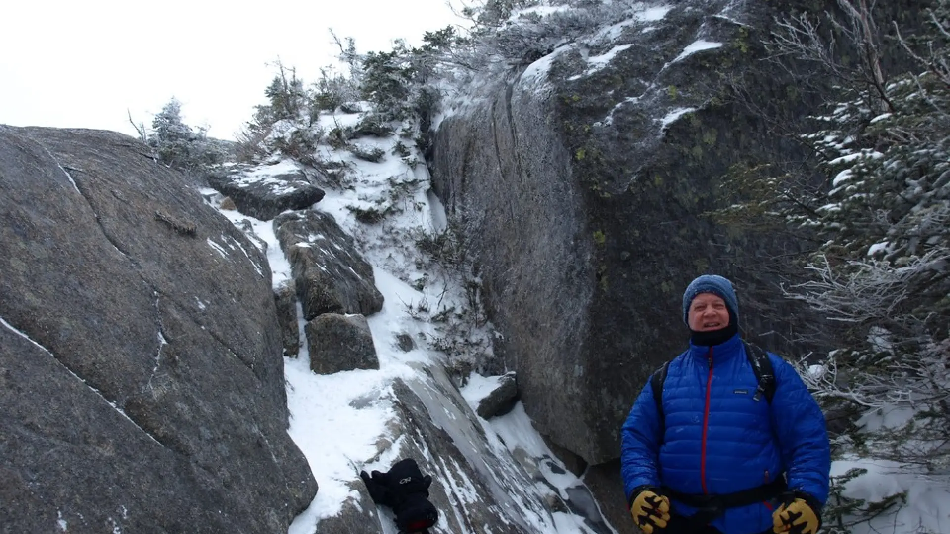
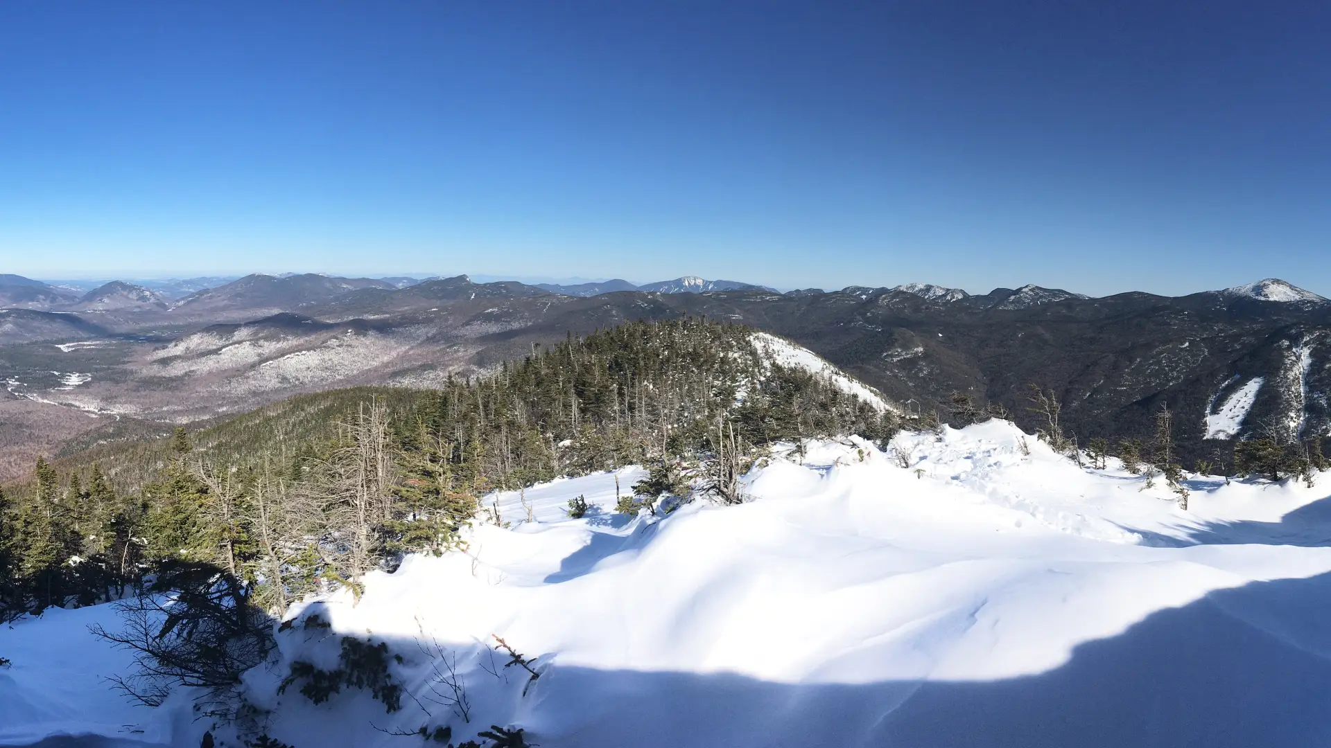
Wright Peak in winter
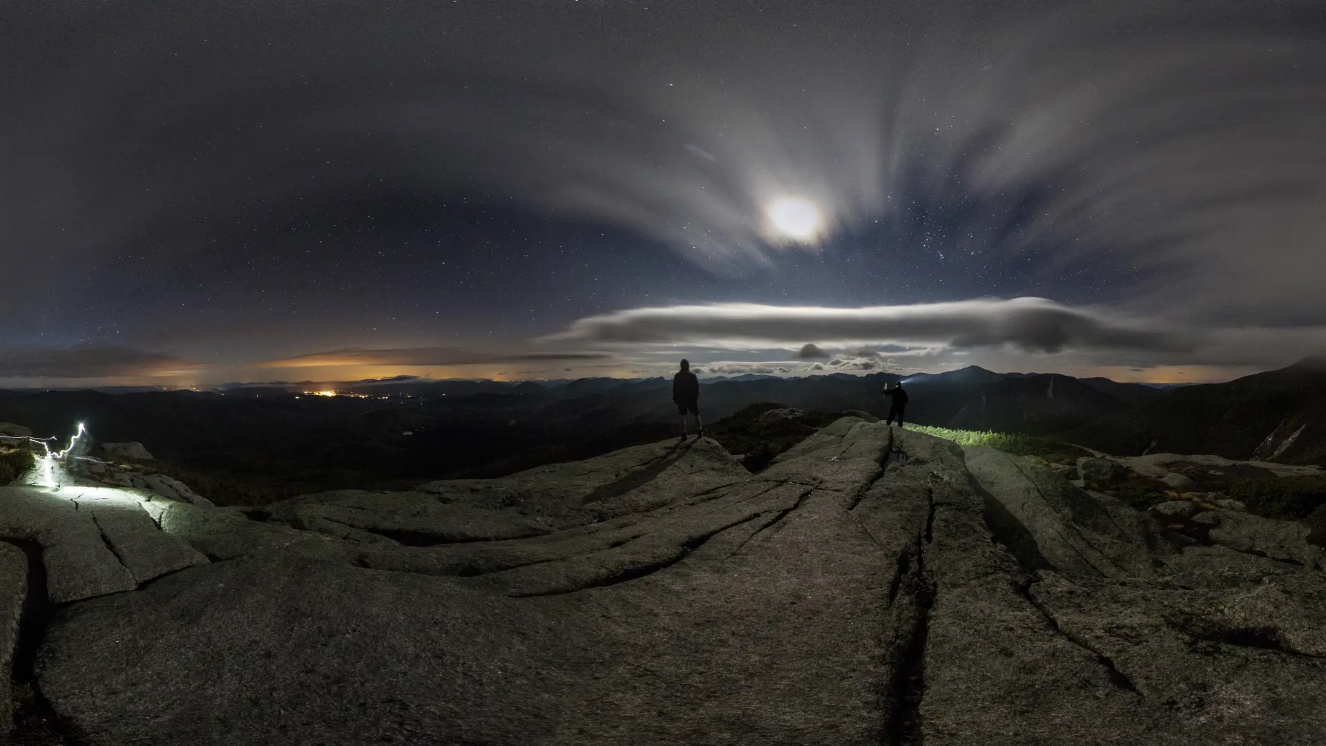
Wright Peak is a challenging mountain that should only be attempted by experienced hikers, especially in winter, so make sure you are prepared. Snowshoes are necessary, and snow spikes or crampons are needed to climb the exposed upper reaches of the peak. Plan on temperatures in the higher elevations being at least 20 degrees colder than at the trailhead, not including the windchill. Bring several extra non-cotton layers, a headlamp with spare batteries, extra food, a windbreaker, goggles, a face mask, and supplies for spending the night in case of an emergency. Wright Peak is known as being one of the windiest summits in the Adirondacks, and as such, you should bring additional wind protection for the alpine zone. At tree line it is a good idea to assess the conditions, as you will have no protection from the elements.
Find your perfect trail near Lake Placid
Does Wright Peak sound amazing, but a little more than you want to tackle right now? No need to stress, with over 2000 miles of hiking trails in the Adirondacks we are sure we can find the perfect hike for you.
How to get there
From the intersection of Route 73 and Route 86 in Lake Placid, follow Route 73 toward Keene. Continue for 3.25 miles to Adirondack Loj Road on the right – this is the first right after the Olympic ski jumps. Follow Adirondack Loj Road to its end at Heart Lake. There is a fee for parking. Start with the trail to Algonquin. After 3.1 miles take the well marked trail to Wright, on the left.