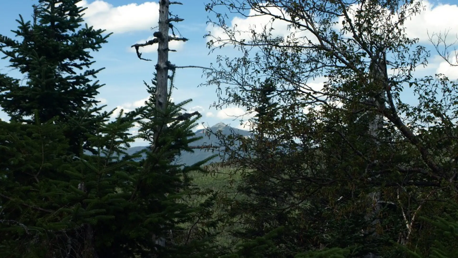
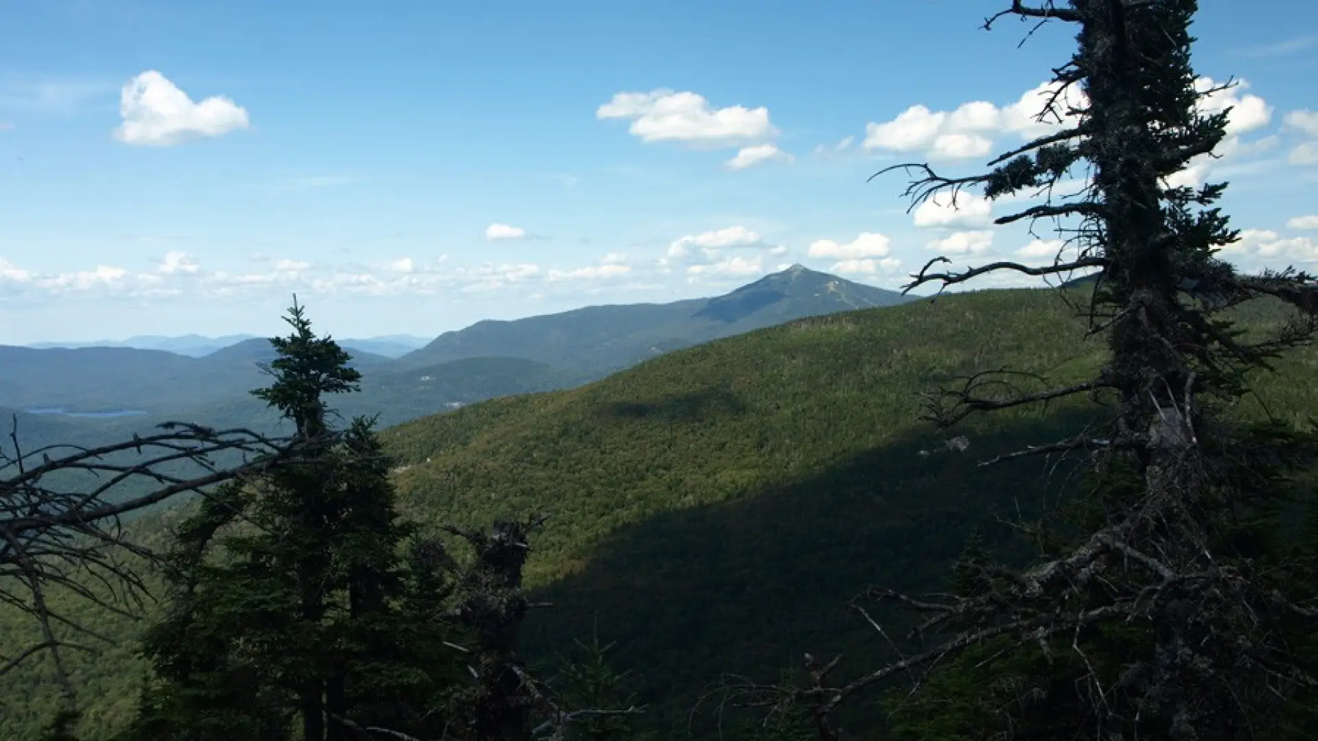


Slide Mountain is located in the 23,000 acre Sentinel Range Wilderness Area. This is a bushwhack to the Adirondacks' 83rd Highest Peak. This hike requires navigation expertise with a map and compass.
Hiking Slide Mountain
See Spencer Morrissey’s blog and map on this mountain for more information.
Find your perfect trail
Does Slide Mountain sound amazing, but a little more than you want to tackle right now? No need to stress, with over 2000 miles of hiking trails in the Adirondacks we are sure we can find the perfect hike for you.
How to get there
Trailhead Location: The trailhead is located at the West end of Alstead Hill Road, roughly 4 miles from the intersection of Route 73 and 9N in Keene and 16 miles from the Town of Lake Placid. This trail is also known as the Jackrabbit Trail which is the start of the route to Slide Mountain. The summit resides North of the Jackrabbit Trail and at the Southern end of the Sentinel Range.