- Out and Back
- Out and Back
- Out and Back


A deep backcountry trip to two scenic ponds in the shadow of MacNaughton and Wallface Mountains. A successful hike of Scott and Wallface Ponds involves research, physical fitness, the right gear, navigational skills, and knowledge of Leave No Trace principles.
Key takeaways
- Distance: 13 miles round trip
- Elevation gain: 2,150 feet
- Elevation: 3,160 feet
- Hike includes trail junctions and water crossings
- Based on an out-and-back trip from the Adirondack Loj via Indian Pass
Hiking to Scott and Wallface Ponds
From the large parking area at the Adirondack Loj, walk to the booth and cross the road to access the trail to Indian Pass. The well-used trail crosses several boardwalks and climbs moderately over rolling hills.
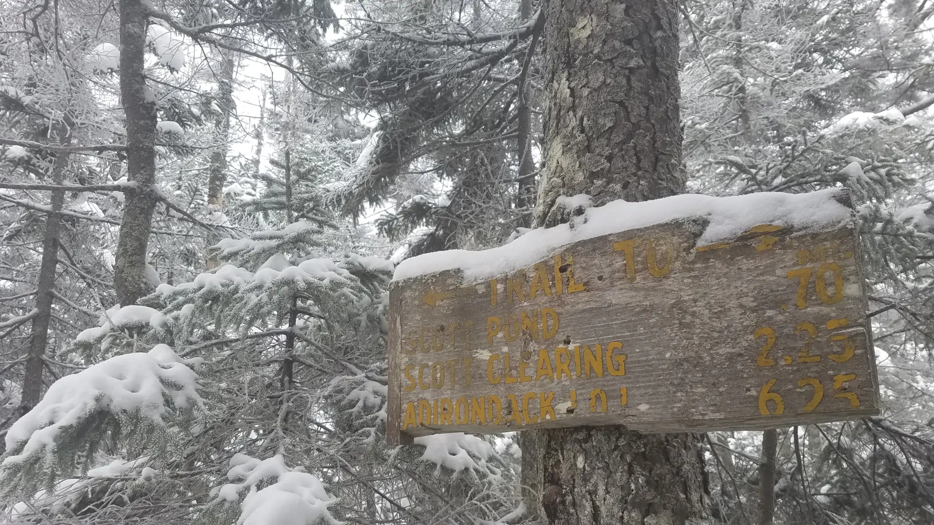
At 2.2 miles, you'll pass by the side trail for Rocky Falls, which also has a lean-to. The path eventually reaches Scott Lean-to after some typically muddy stretches of trail, and enters Scott Clearing, where there are fantastic views of Indian Pass and the massive cliffs of Wallface.
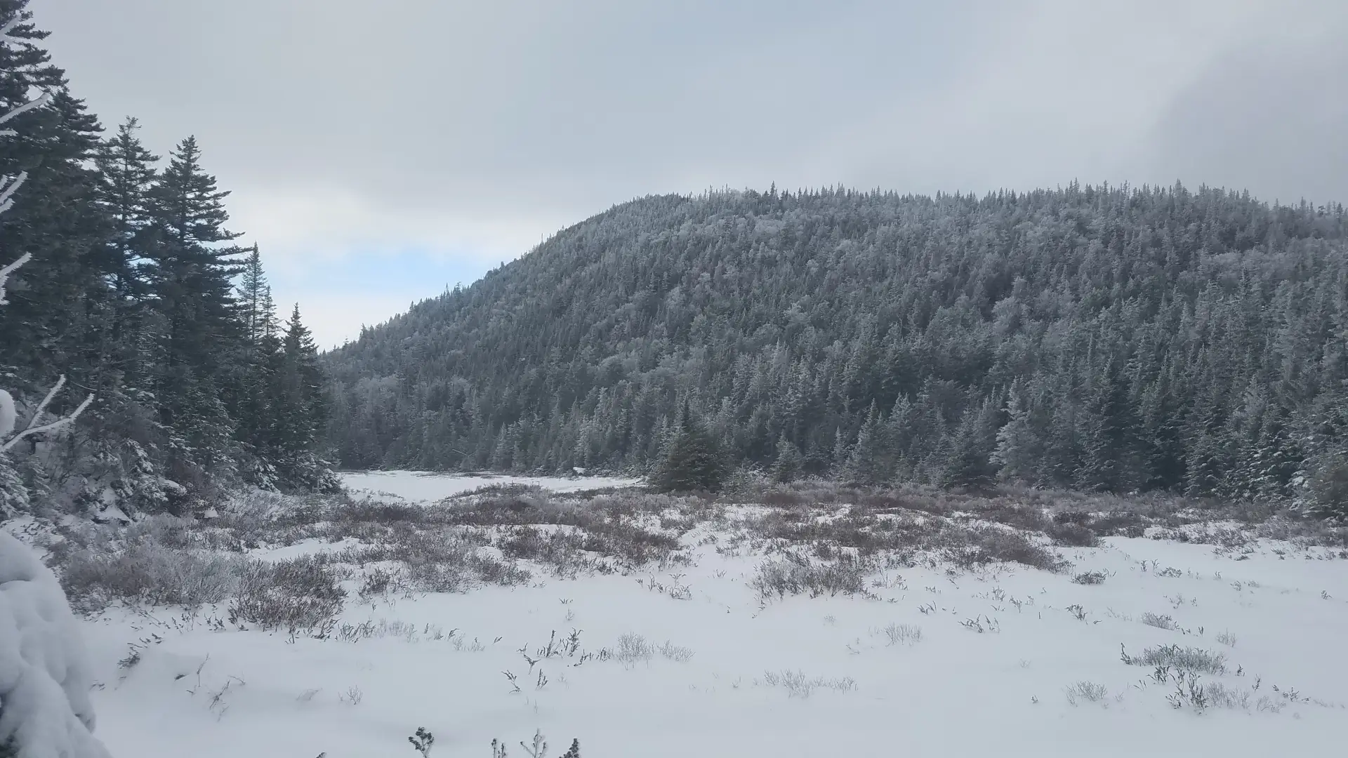
From Scott Clearing cross Indian Pass Brook. From here the climb is much more aggressive, and it becomes steep at times. In roughly 1.5 miles, after descending a bit from the height of land, you will come to the old dam at the site of Scott Pond, which is more of a brook running through a grassy field. Here, Lost Pond Peak rises high above to the north. Past this, the trail is a bit wetter and more rugged. Pay attention to where you're going, and check your map frequently.
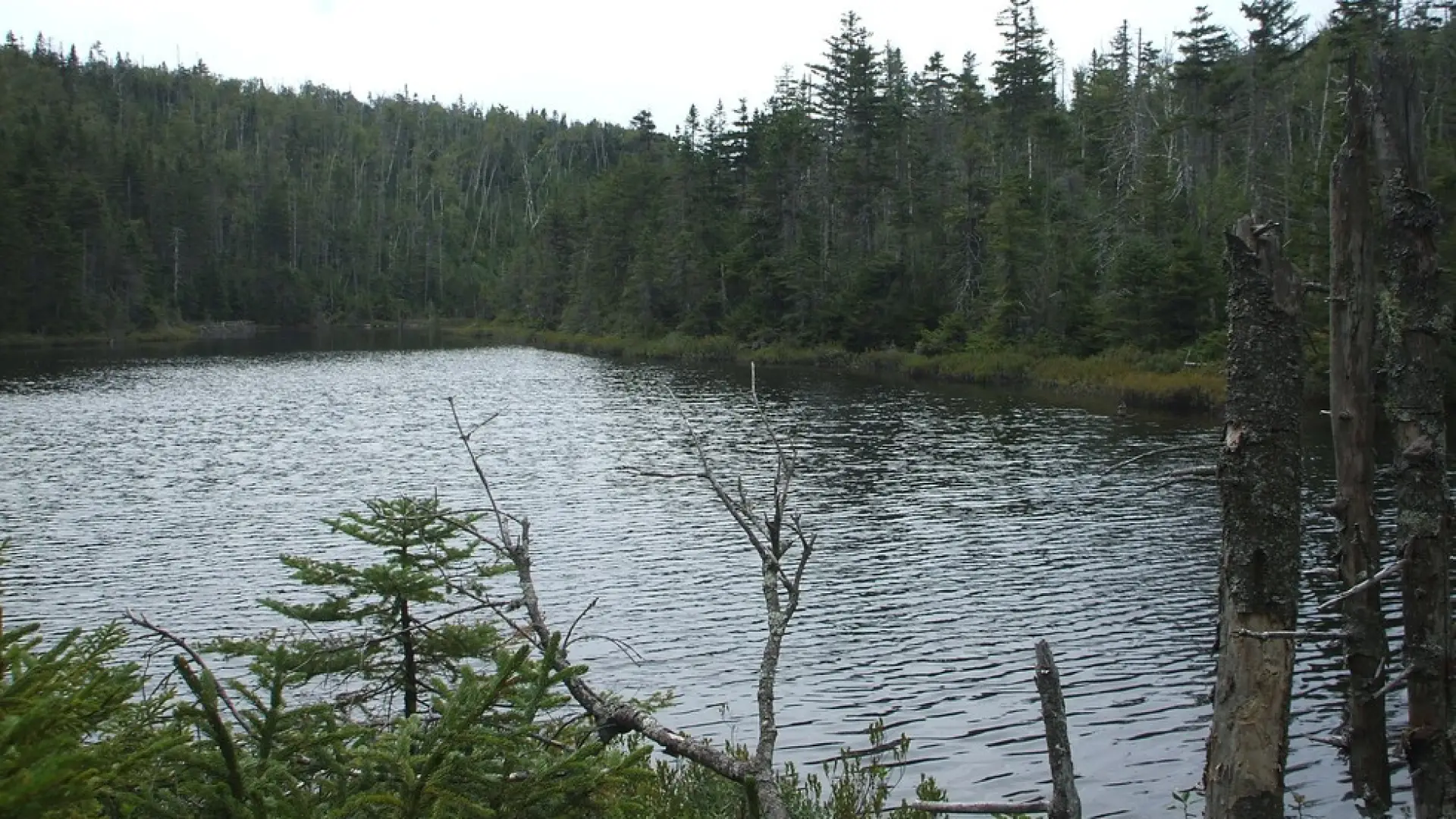
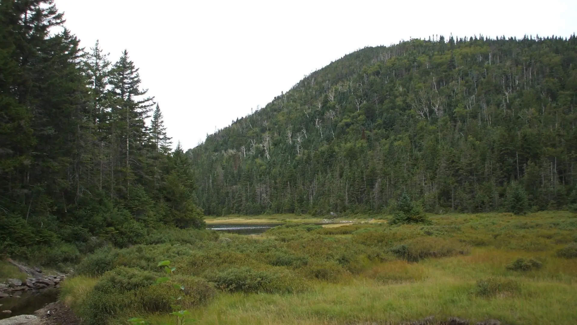
Continuing on, the trail reaches Wallface Pond in another 1.3 miles or so. The climb continues and is less steep, but it can be a bit wet. MacNaughton Mountain is seen to the south. There is a primitive tent site for camping at the shore of Wallface Pond.
Scott and Wallface Ponds in the winter
These ponds should only be attempted by experienced hikers, especially in winter, so make sure you are prepared. Snowshoes are necessary, and microspikes may be needed to hike some of the steeper sections. Plan on temperatures in the higher elevations being at least 20 degrees colder than at the trailhead, not including the windchill. Bring several extra non-cotton layers, a headlamp with spare batteries, extra food, a windbreaker, goggles, a face mask, and supplies for spending the night in case of an emergency. You will have to cross Indian Pass Brook. This crossing can be especially dangerous during the beginning and end of winter. Always use caution at water crossings. Turning around is always an option. This trail doesn't see much use past the intersection for Street and Nye in the winter, so prepare to break trail, especially once you turn from the Indian Pass trail and head towards the ponds.
Find your perfect trail near Lake Placid
Do these ponds sound amazing, but a little more than you want to tackle right now? No need to stress, with over 2000 miles of hiking trails in the Adirondacks we are sure we can find the perfect hike for you.
How to get there
From the intersection of state Route 73 and Route 86 in Lake Placid, follow Route 73 toward Keene. Turn right on Adirondack Loj Road and follow it the end, where there are several large parking lots.