- Out and Back
- Out and Back
- Out and Back


About
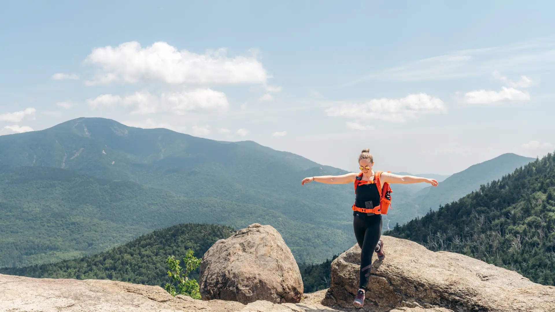
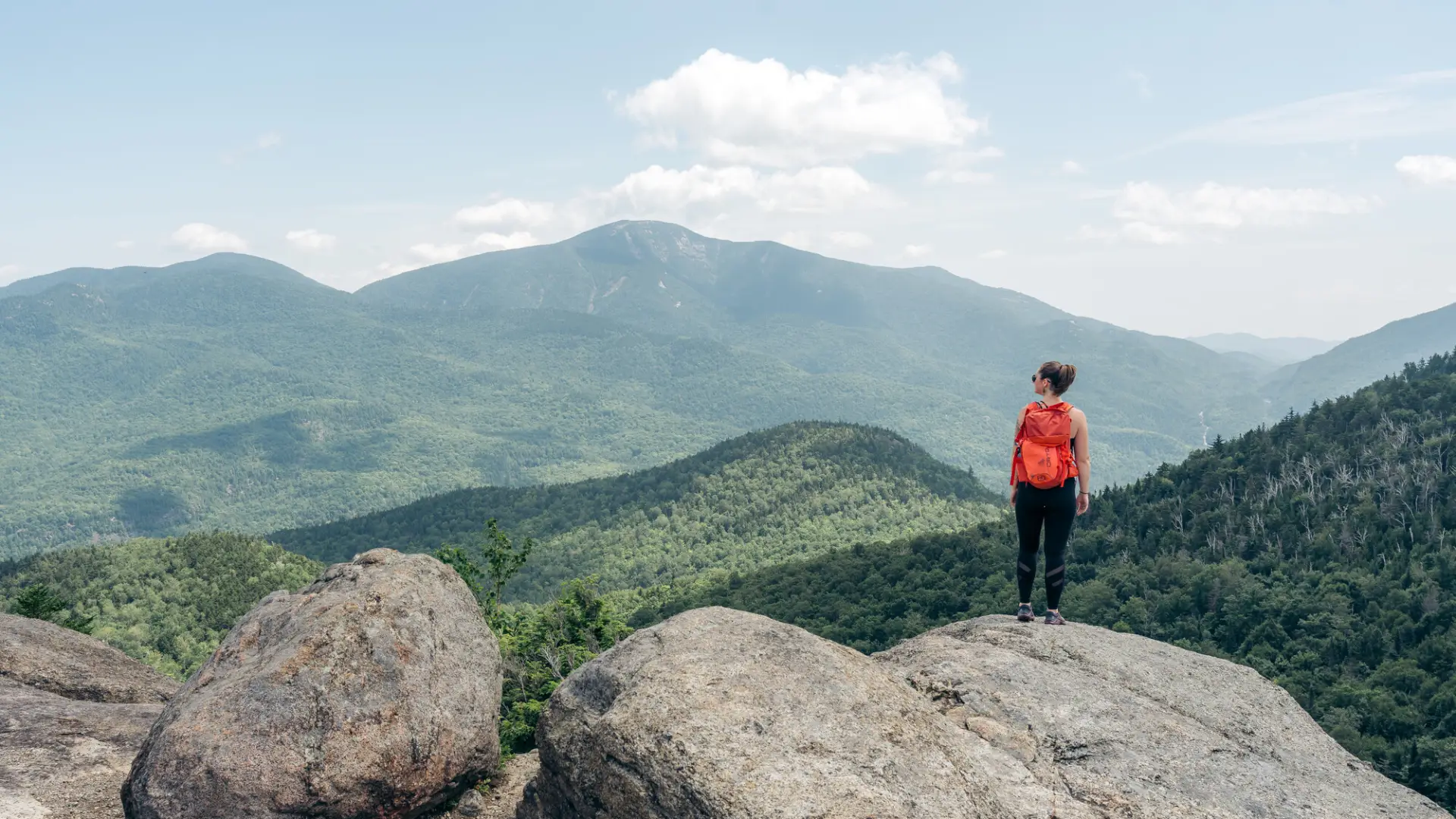
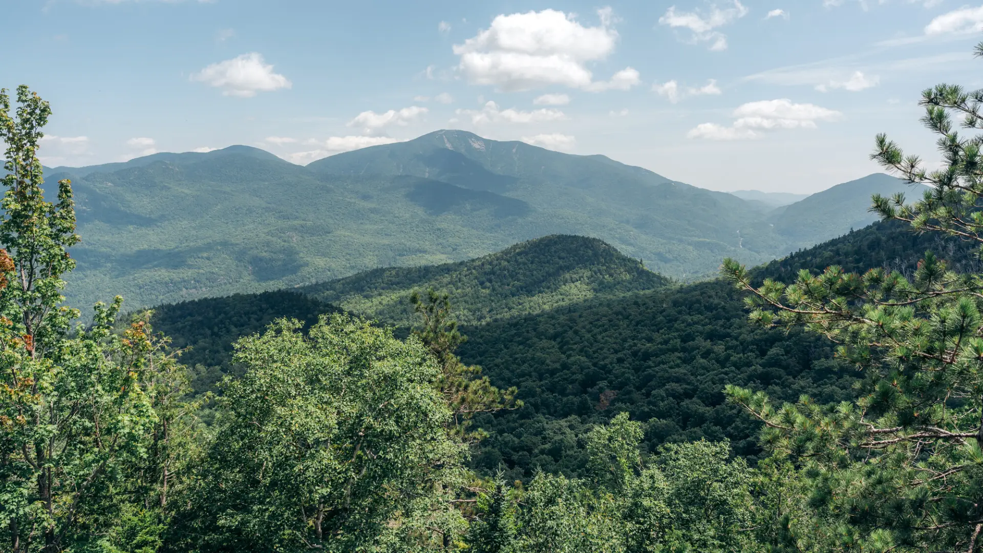
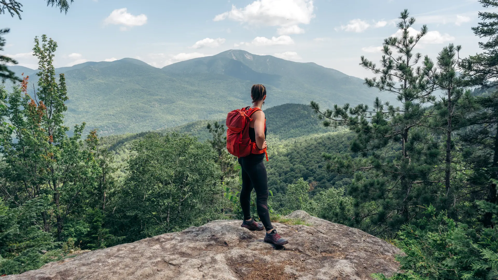
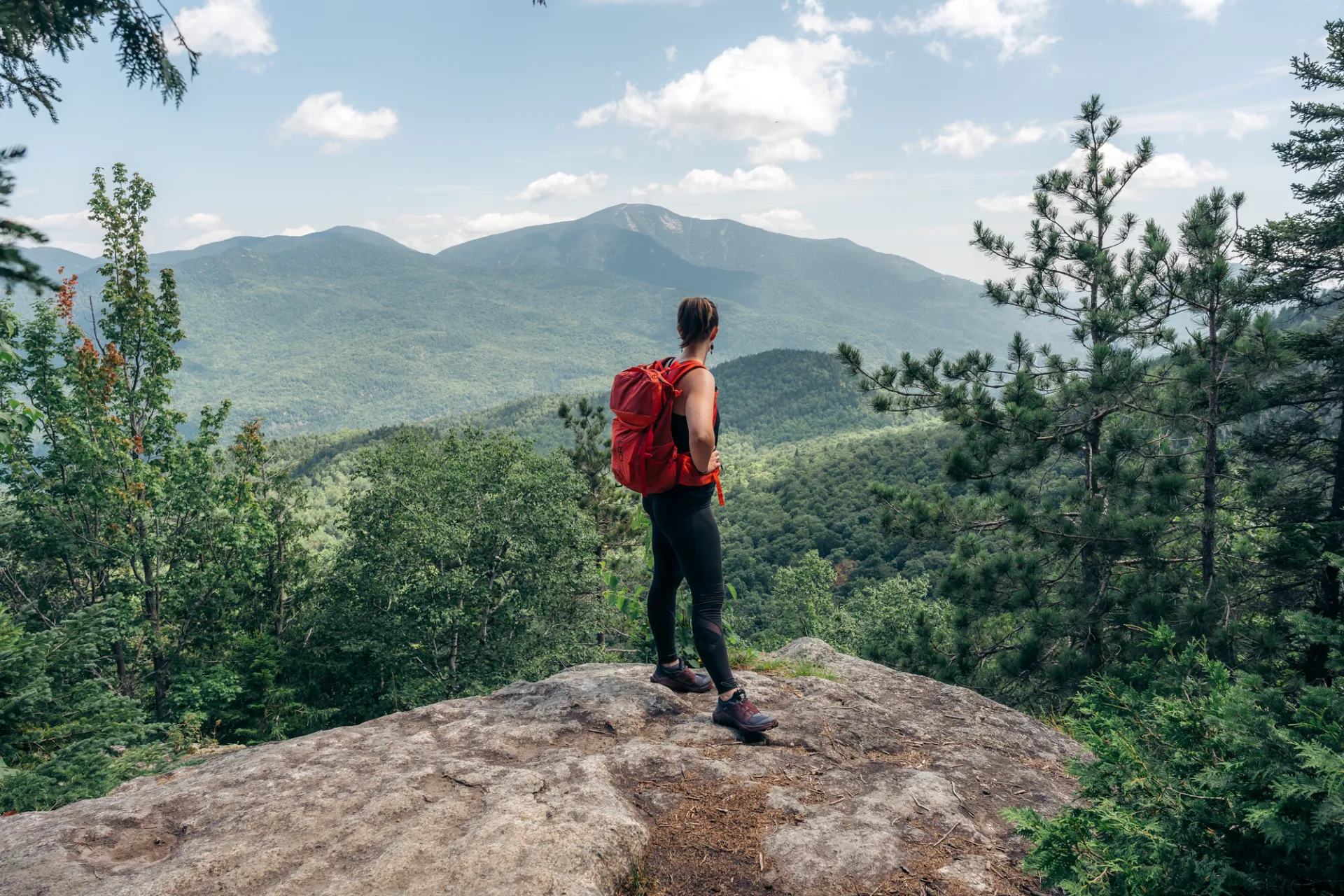
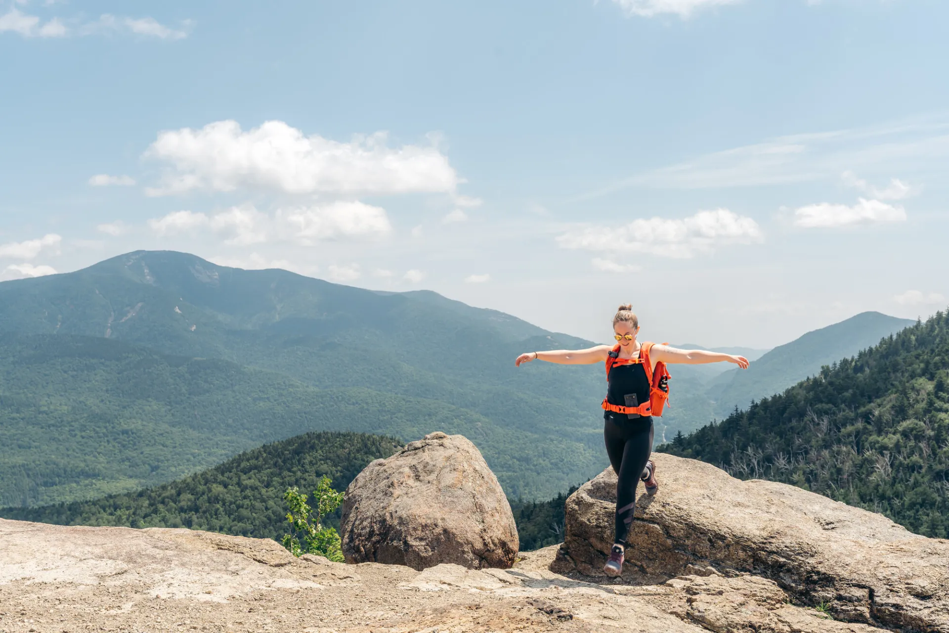
Full panoramic views and a fun trail make Rooster Comb an excellent choice for a hike. Hikers should learn about Leave No Trace principles before hiking any trail in the Adirondacks.
Key takeaways
- Distance: 5 miles round trip
- Elevation gain: 1,770 feet
- Hike includes trail junctions, a bridge, an exposed summit, and a ladder
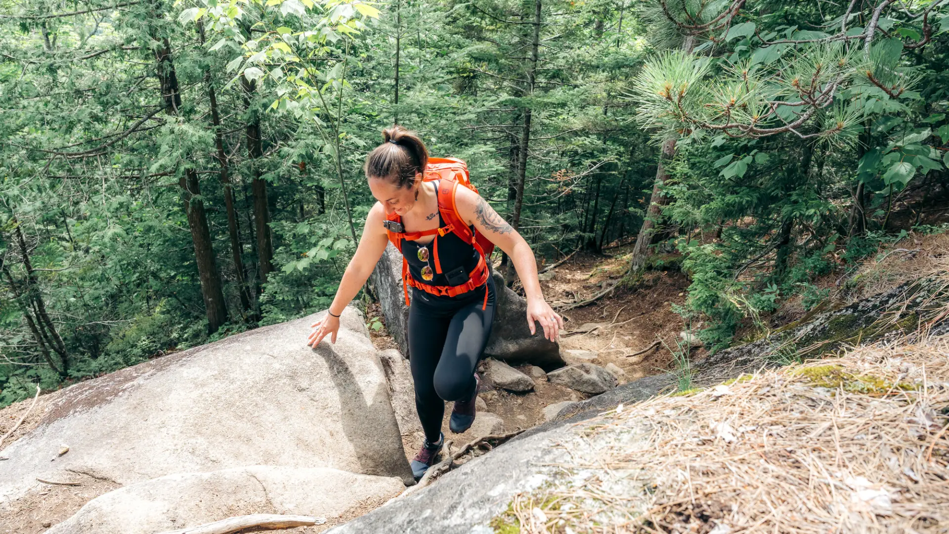
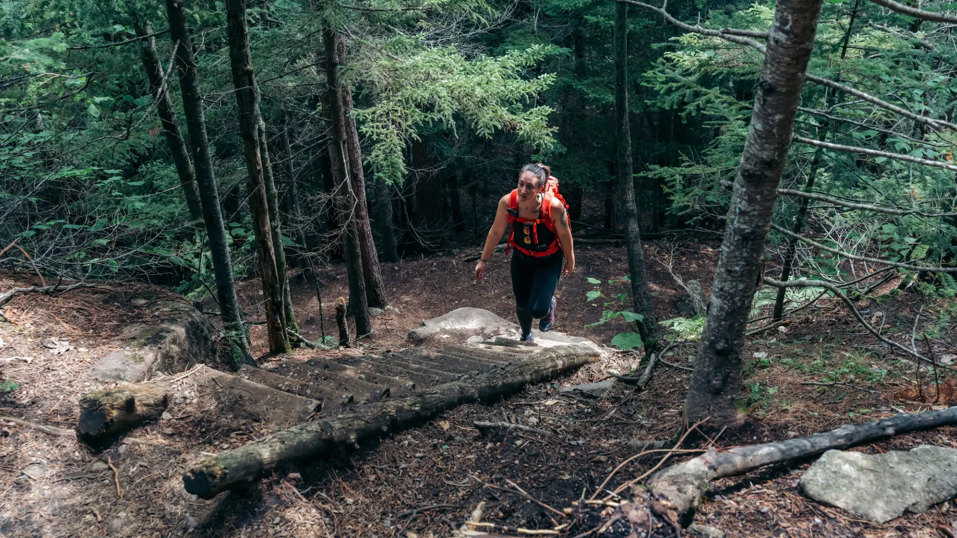
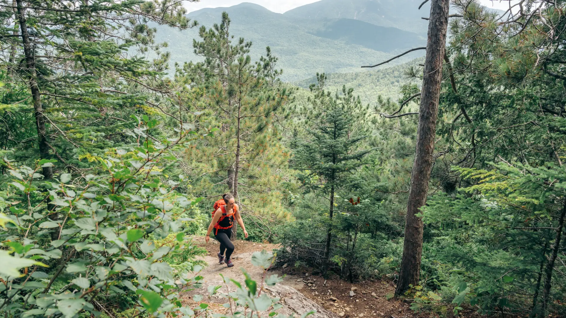
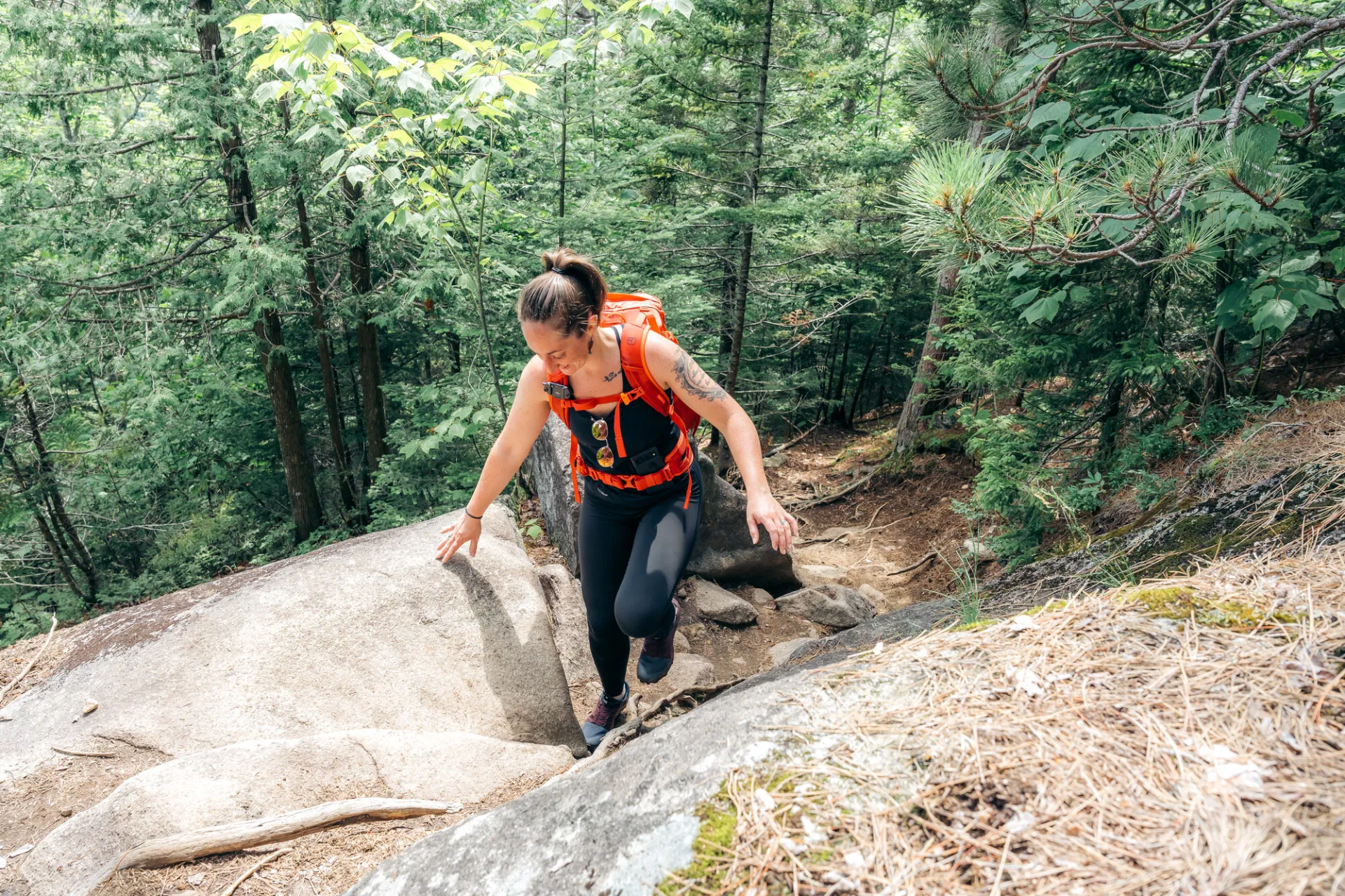
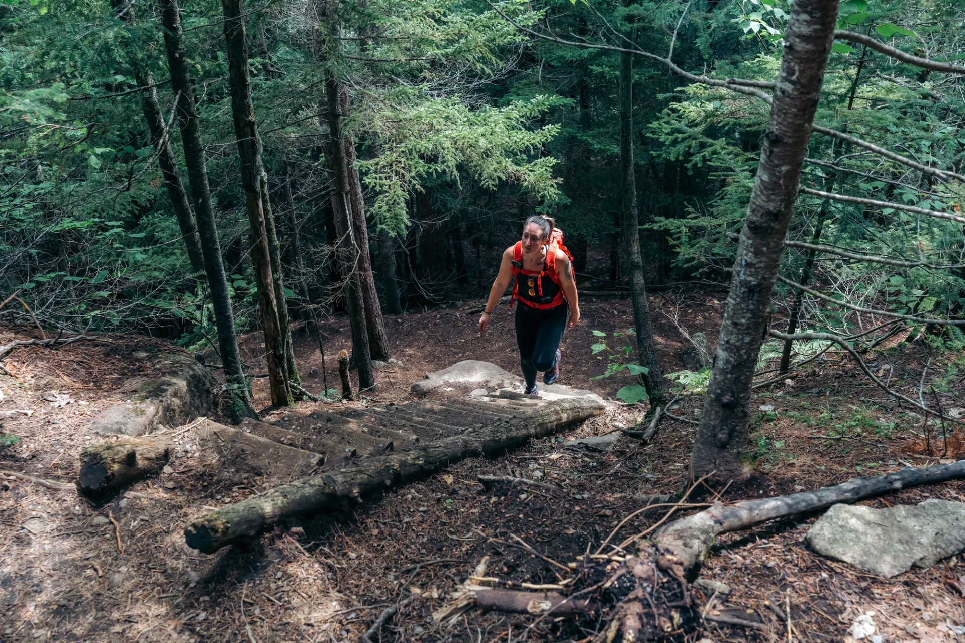
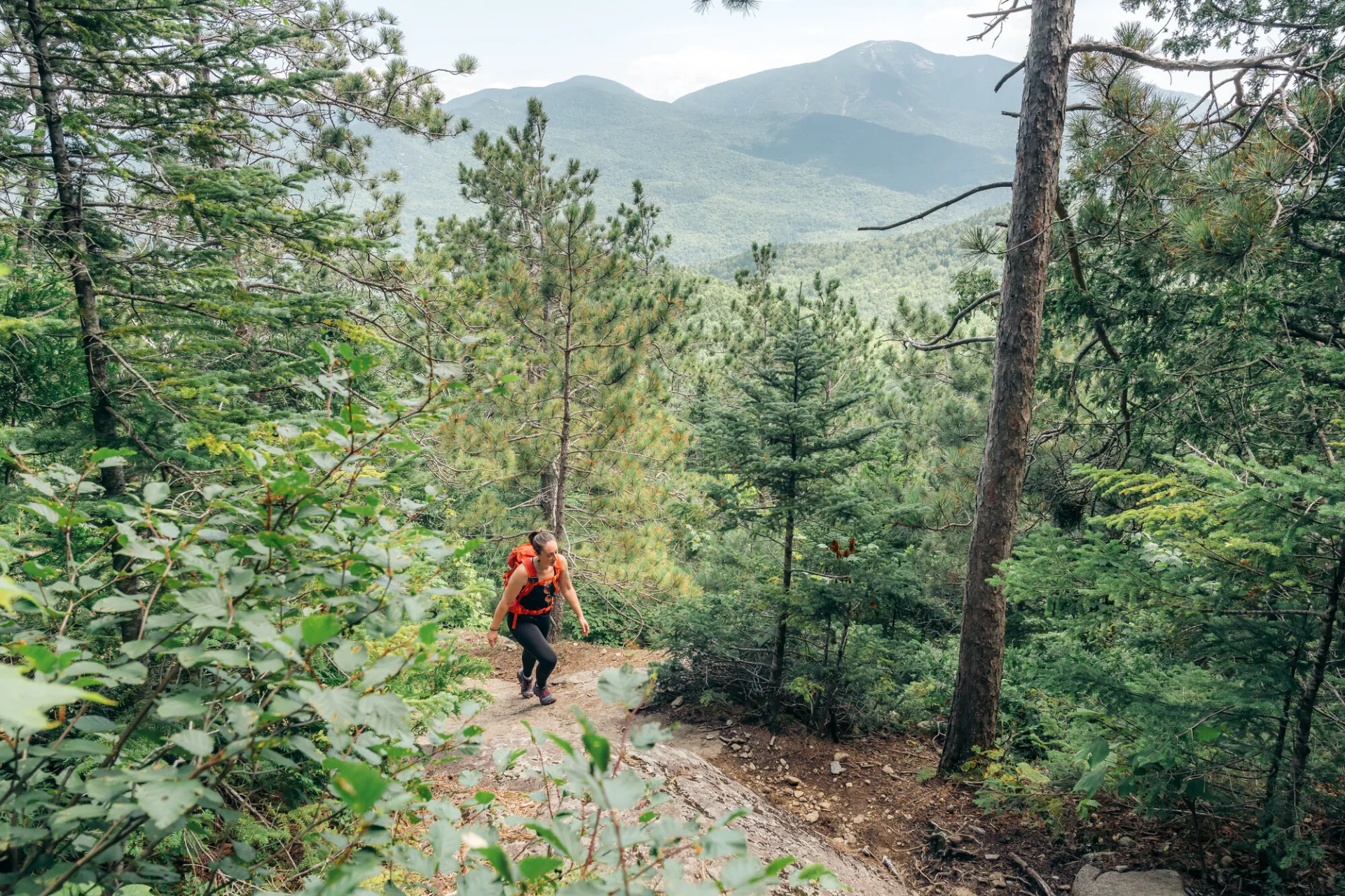
Hiking Rooster Comb Mountain
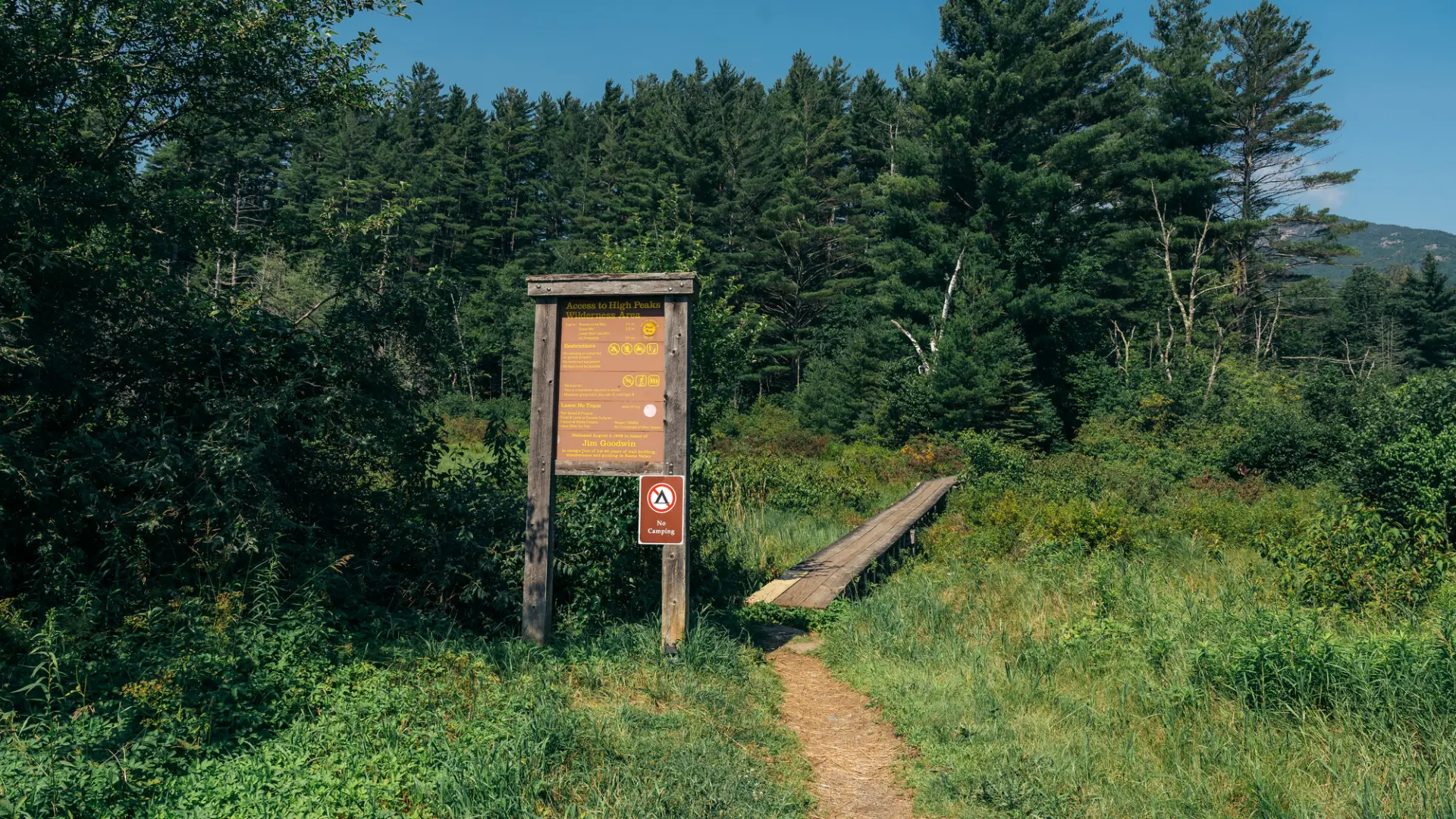
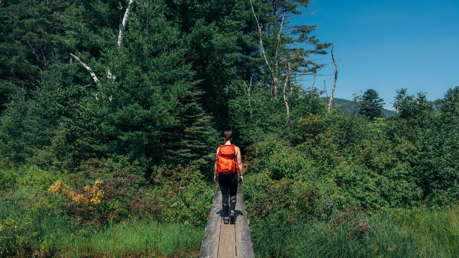
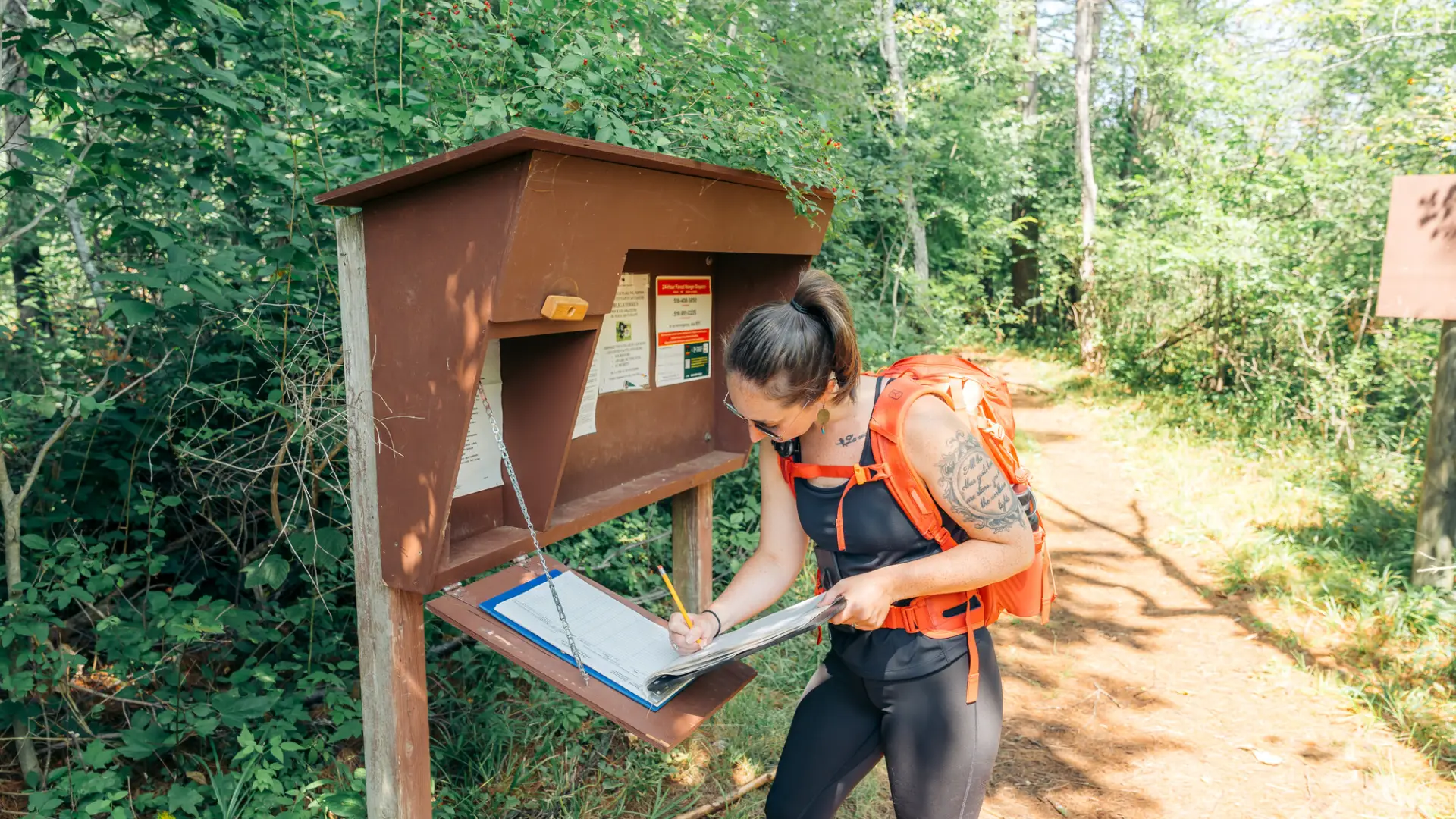
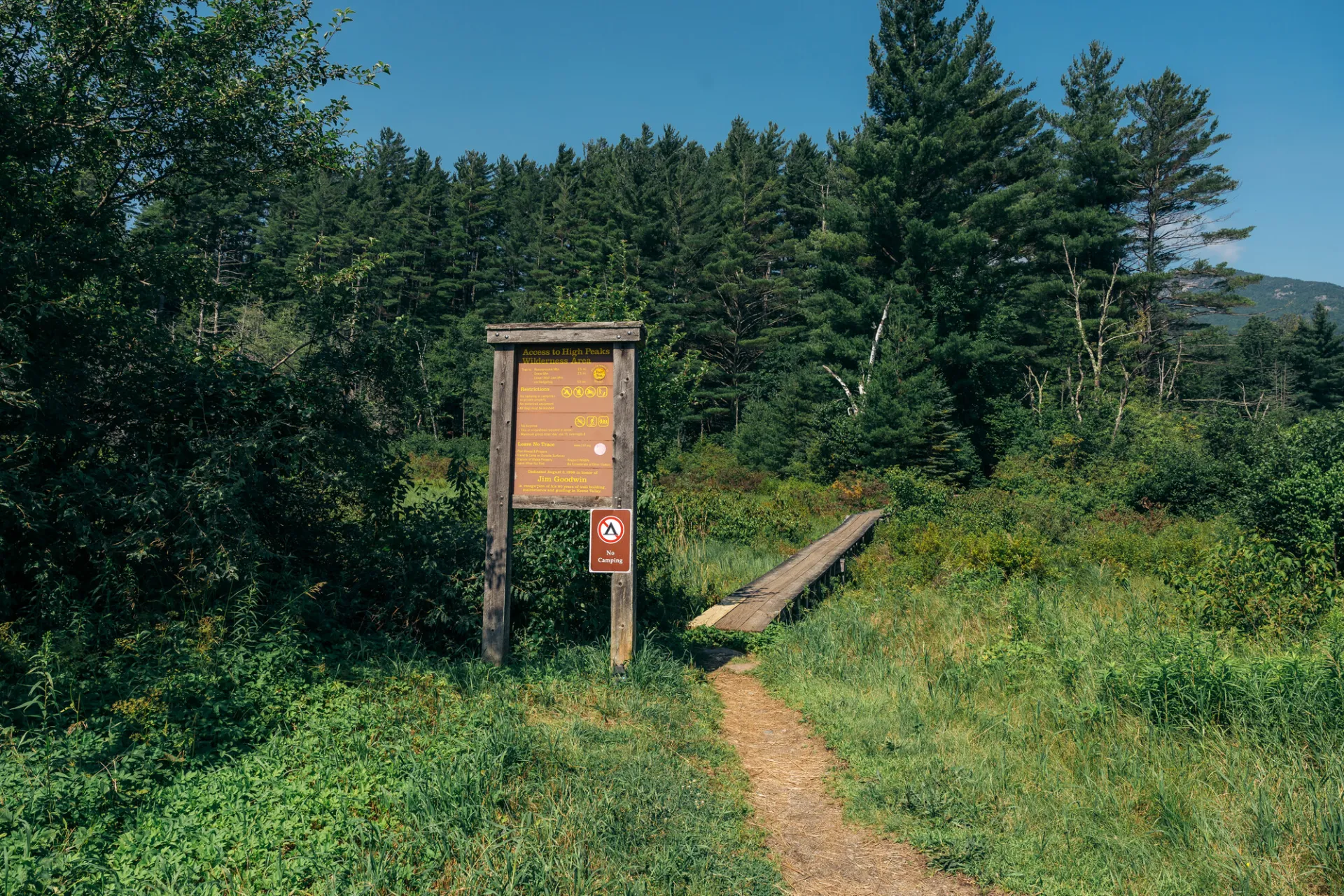
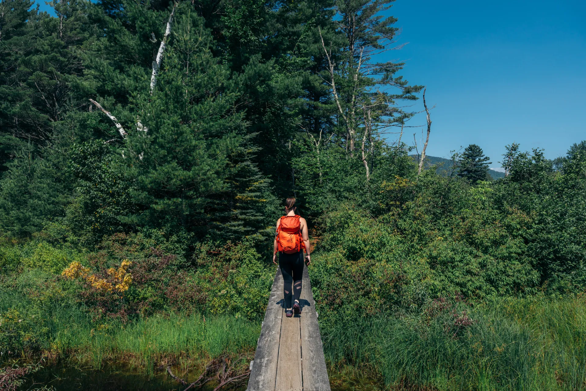
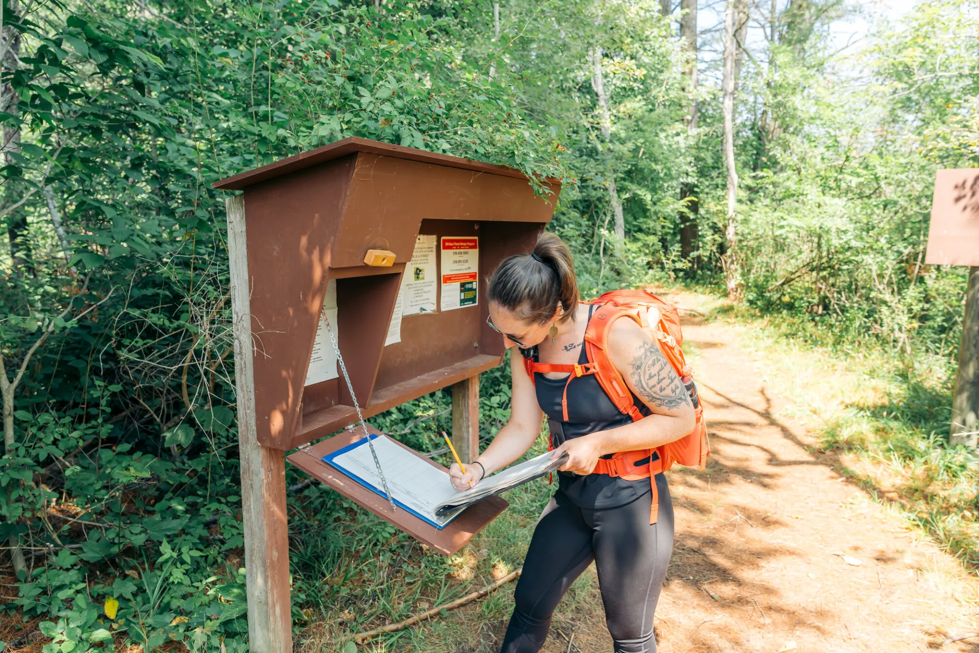
This 2.5 mile, one way, trail is over easy to moderate terrain. Starting from the trailhead in Keene Valley you will hike over a long wooden bridge to the trail register before hiking past a small pond to your right which is located behind the Keene Central School.
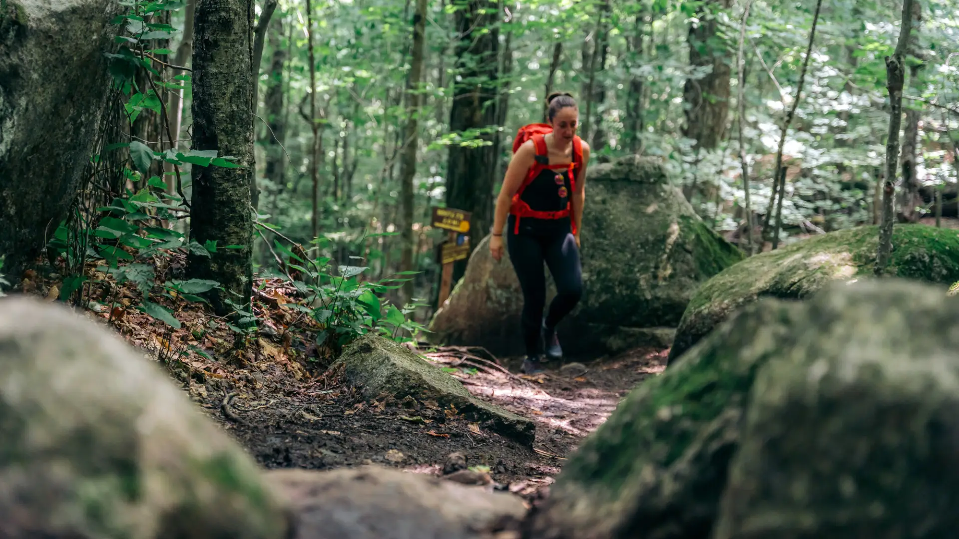
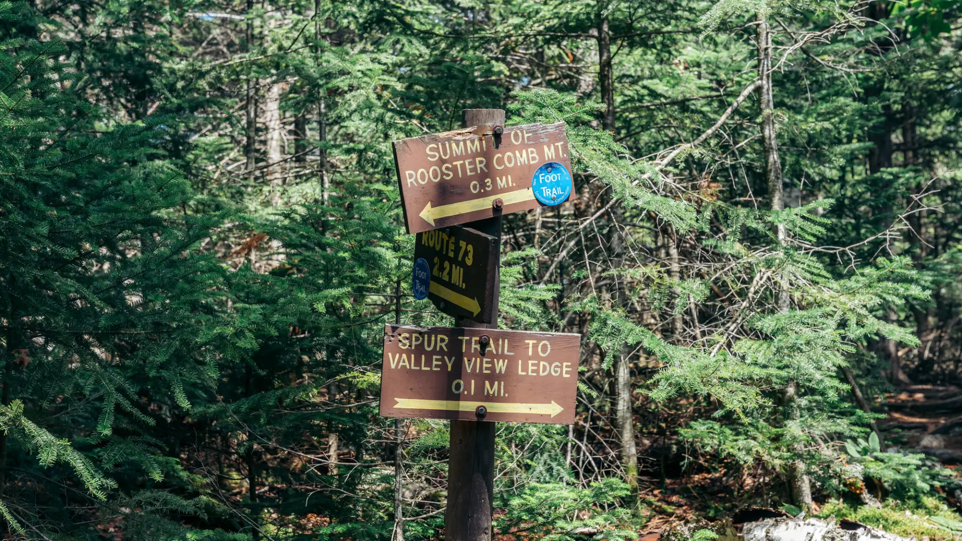
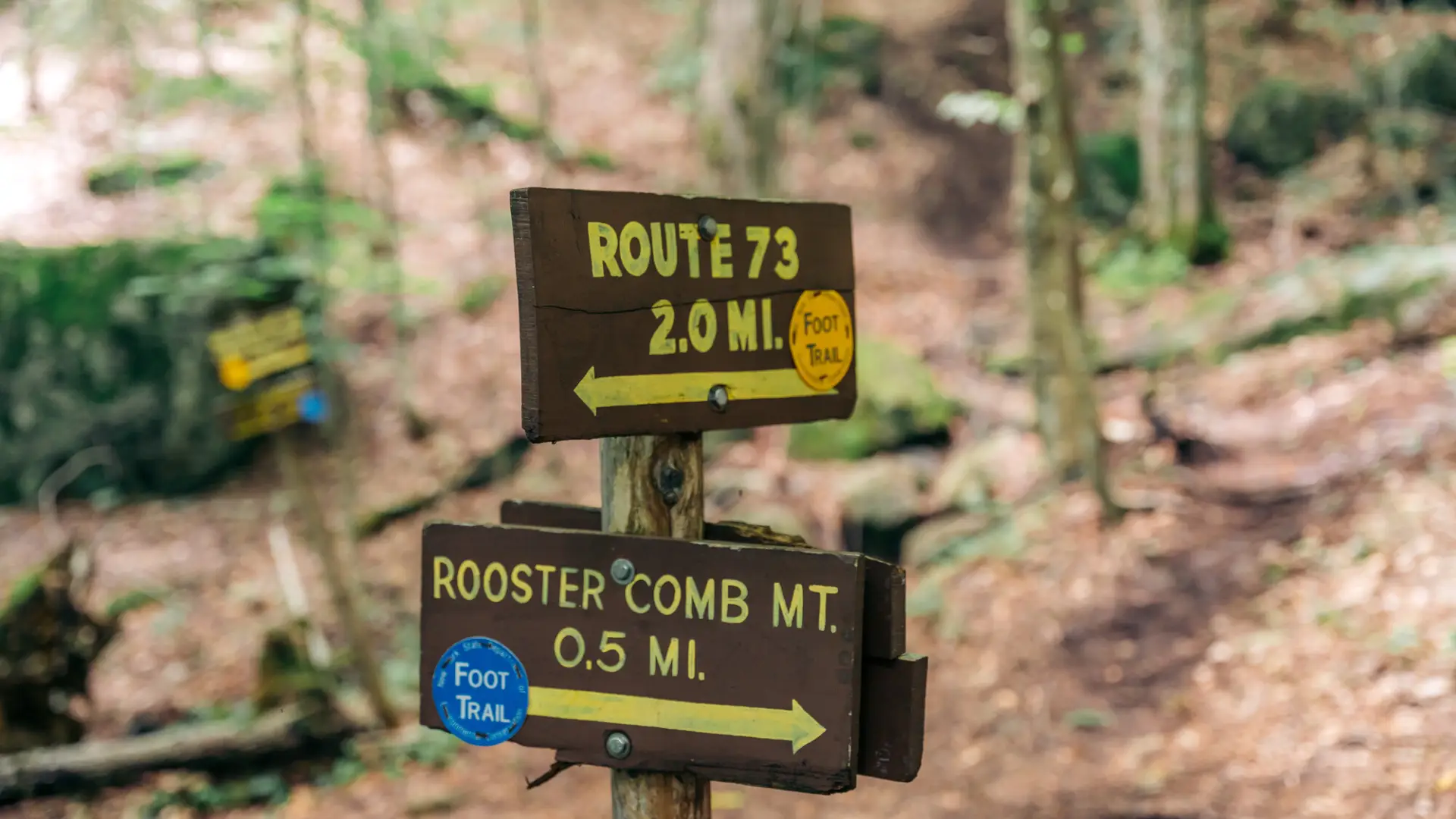
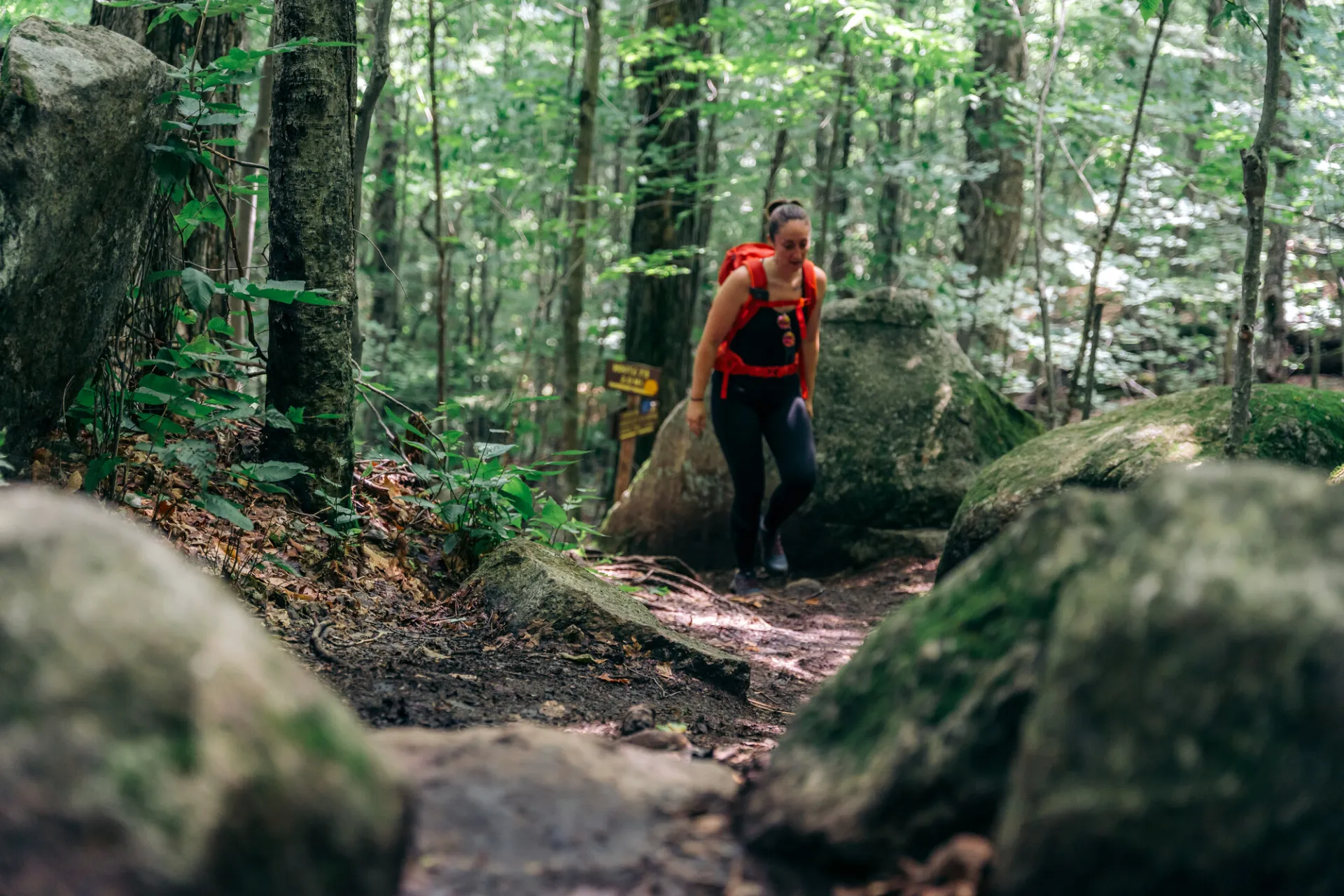
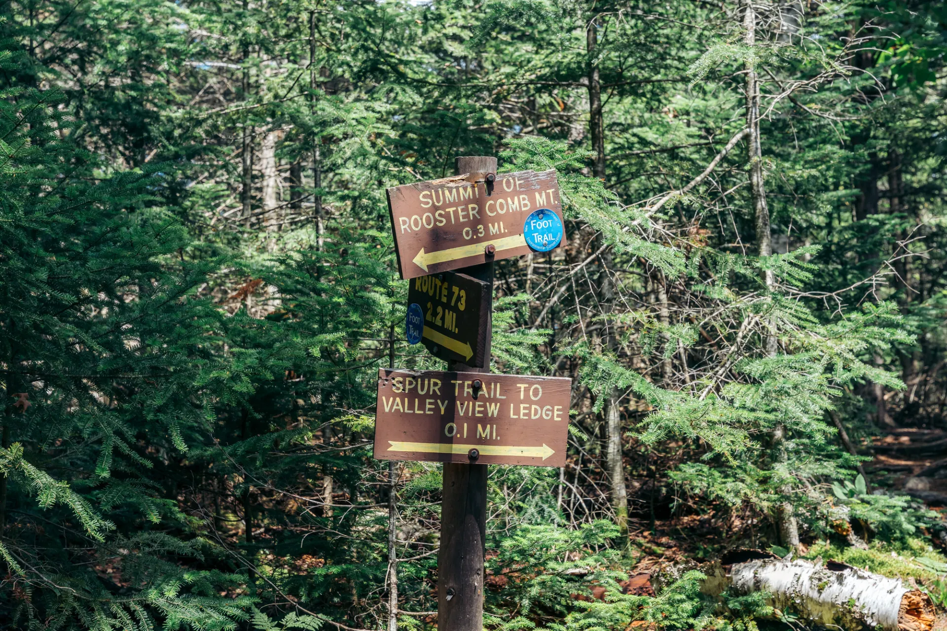
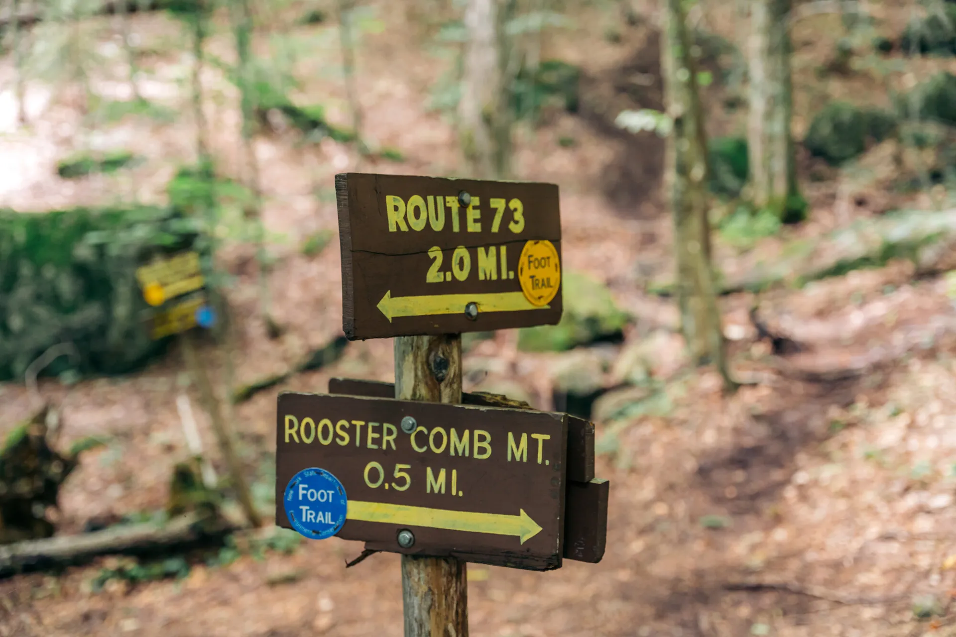
As you move away from the pond the trail climbs steadily to a junction with one of the routes to Snow Mountain Trail at 0.7 mi. Bear right and continue a steady climb but never steep climb to another junction at 2.0 mi. (Straight ahead leads to Hedgehog and Lower Wolf Jaw. Left is an alternate return, which also connects to Snow Mountain.) Turning right, the trail climbs to the crest of the ridge and a junction at 2.2 mi. Right is the 0.1 mi. side trail to Valley View Ledge. Left is the trail to the summit, which is reached after a few steeper pitches at 2.5 mi.
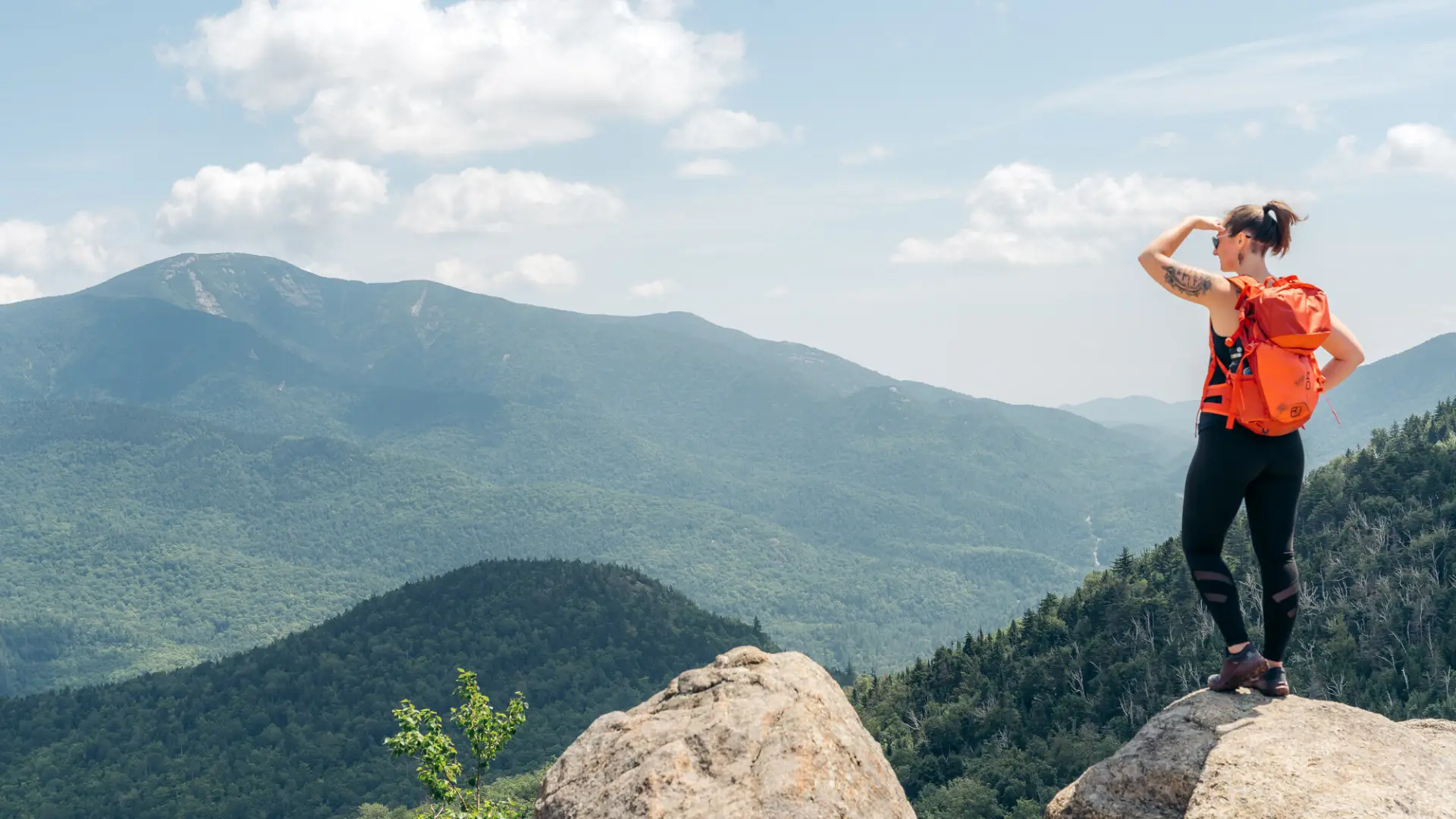
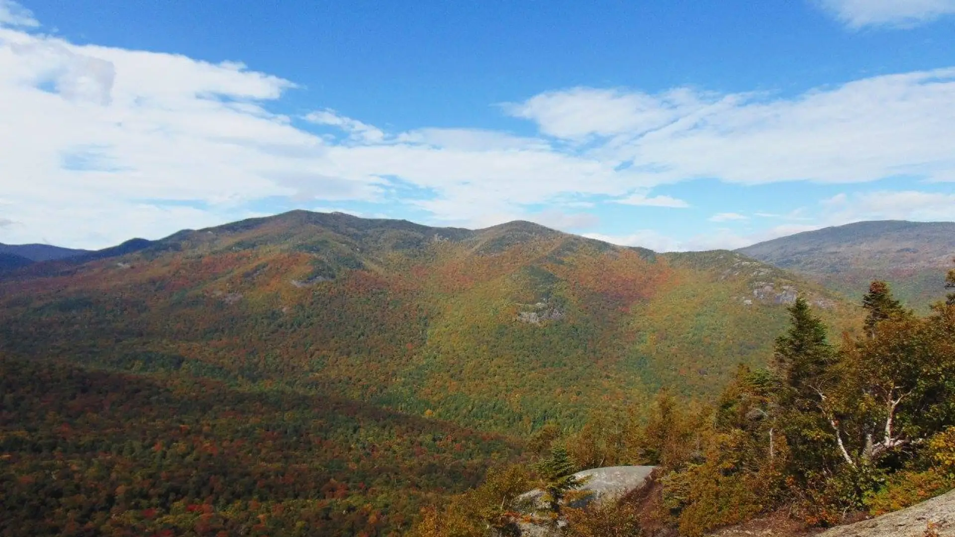
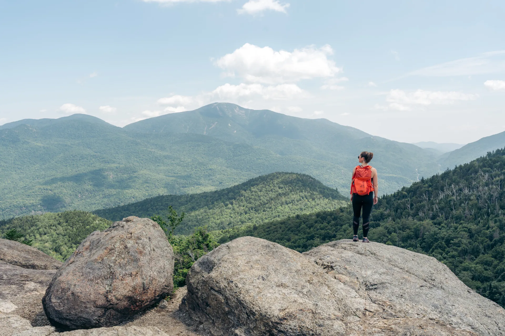
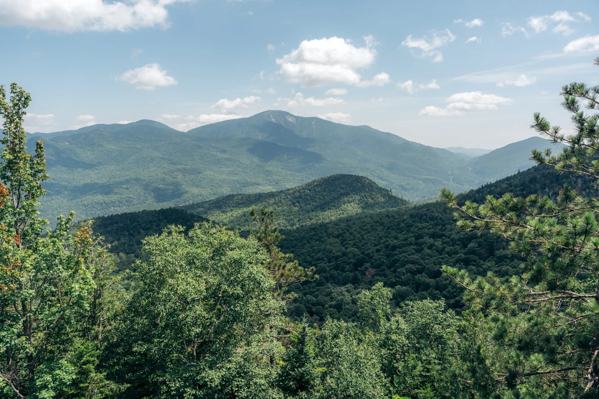
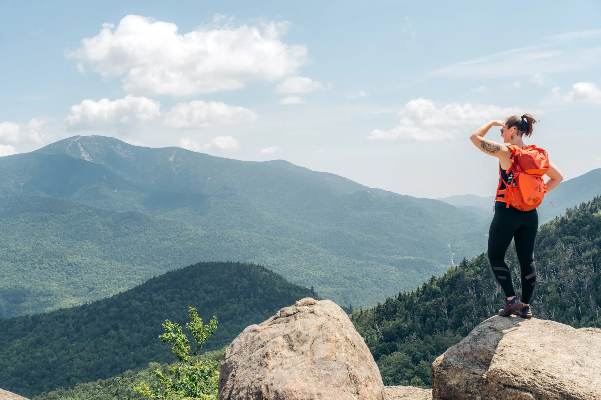
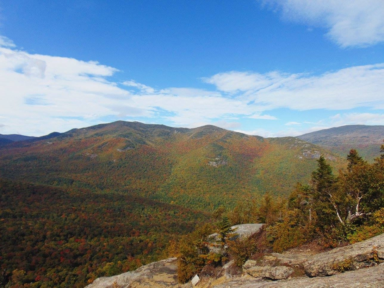
Views from the summit ledge and Valley View Ledge complete a 360 degree panorama of Mt. Marcy and the Johns Brook Valley plus Giant Mountain and the Ausable Valley. The trail offers mostly good footing and is a good choice early in the season or when it is wet.
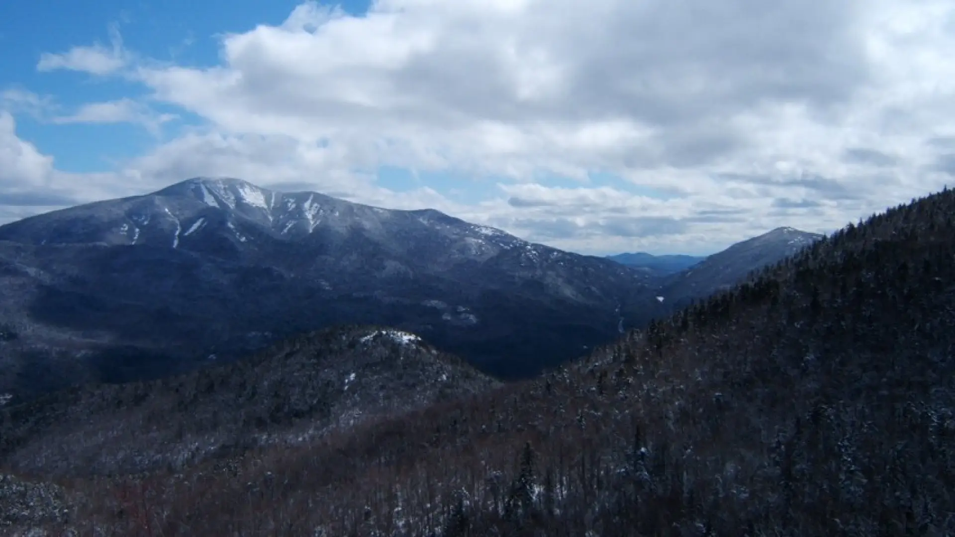
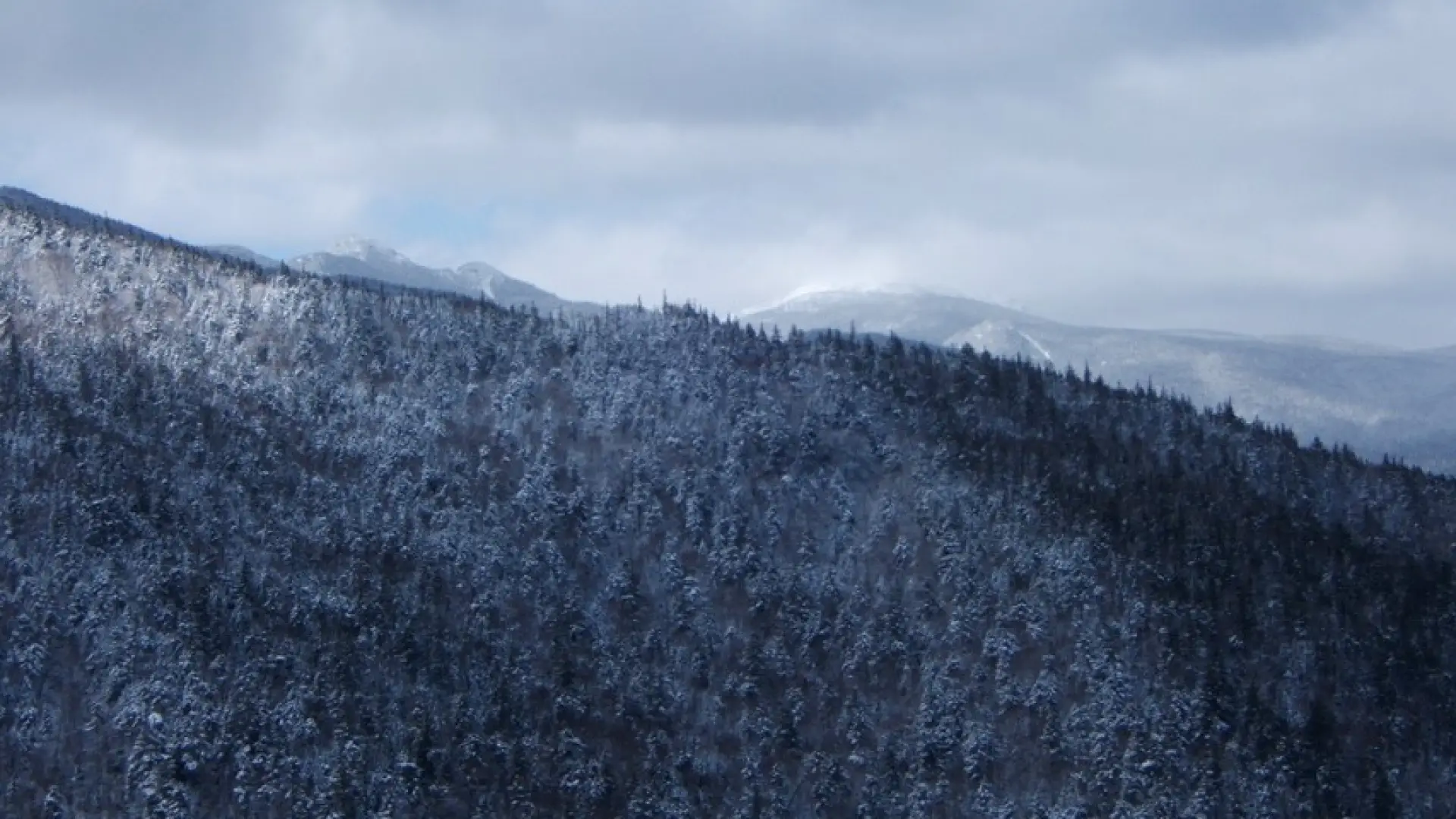
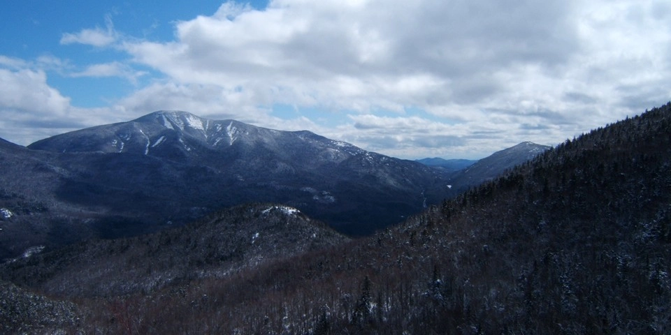
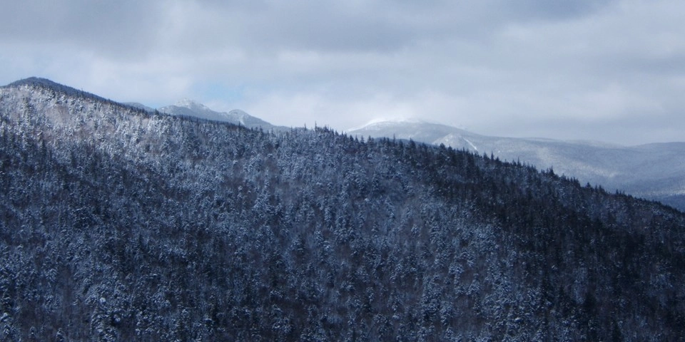
Rooster Comb in the winter
A good trail for a beginner winter hiker with some experience. Always bring extra layers, especially for higher elevations, and don't hesitate to turn around if the weather starts to turn. This trail is not recommended for cross-country skiing. Being prepared is necessary for any winter hike.
Find your perfect trail near Keene Valley
Does Rooster Comb Mountain sound amazing, but a little more than you want to tackle right now? No need to stress, with over 2000 miles of hiking trails in the Adirondacks we are sure we can find the perfect hike for you.
How to get there
Leave Lake Placid on Rte 73, follow Rte 73 toward Keene. Continue through Keene and Keene Valley. The trailhead for Rooster Comb is on the right 0.4 mi. past the High Peaks sign in the center of Keene Valley.